Elevation of Gariyaband, Chhattisgarh, India
Location: India >
Longitude: 82.0614974
Latitude: 20.6347897
Elevation: 347m / 1138feet
Barometric Pressure: 97KPa
Elevation Map:
Satellite Map:
Related Photos:

Village Street.

Īśāna.

Modest Ingenuity.

Friends.
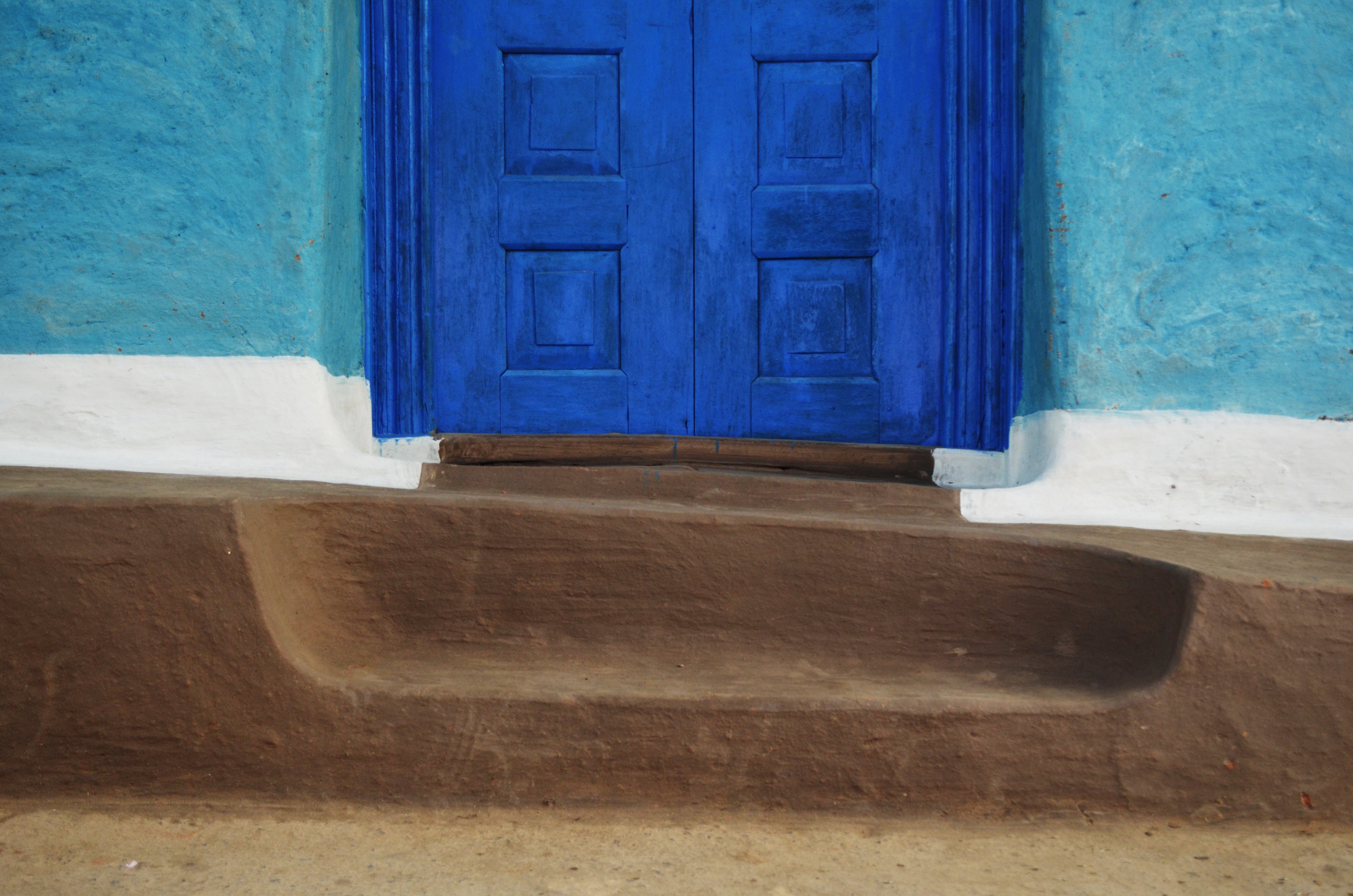
Threshold XIX

Nahargaon.

Modest Ingenuity.

Modest Ingenuity.
Topographic Map of Gariyaband, Chhattisgarh, India
Find elevation by address:

Places near Gariyaband, Chhattisgarh, India:
Mainpur
Dhamtari
Nagari
Khajrawan
Narharpur
Gangred
Gangrel Dam
Gangrel Dam
Nuapada
Baderajpur
Keskal
Raighar
Sinapali
Pharasgaon
Chandahandi
Kondagaon
Deobhog
Mahaling
Jharigaon
Recent Searches:
- Elevation of Corso Fratelli Cairoli, 35, Macerata MC, Italy
- Elevation of Tallevast Rd, Sarasota, FL, USA
- Elevation of 4th St E, Sonoma, CA, USA
- Elevation of Black Hollow Rd, Pennsdale, PA, USA
- Elevation of Oakland Ave, Williamsport, PA, USA
- Elevation of Pedrógão Grande, Portugal
- Elevation of Klee Dr, Martinsburg, WV, USA
- Elevation of Via Roma, Pieranica CR, Italy
- Elevation of Tavkvetili Mountain, Georgia
- Elevation of Hartfords Bluff Cir, Mt Pleasant, SC, USA