Elevation of Gargia, Norway
Location: Norway > Finnmark > Alta >
Longitude: 23.484058
Latitude: 69.8152778
Elevation: 111m / 364feet
Barometric Pressure: 100KPa
Elevation Map:
Satellite Map:
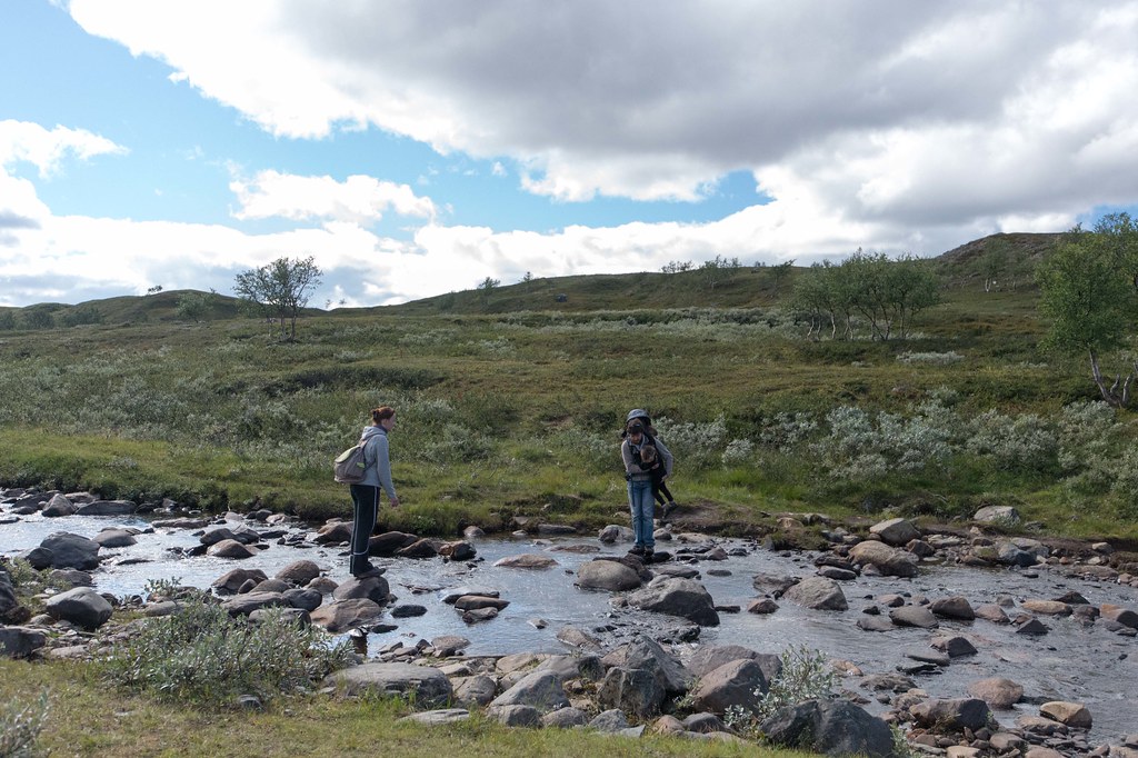
Related Photos:
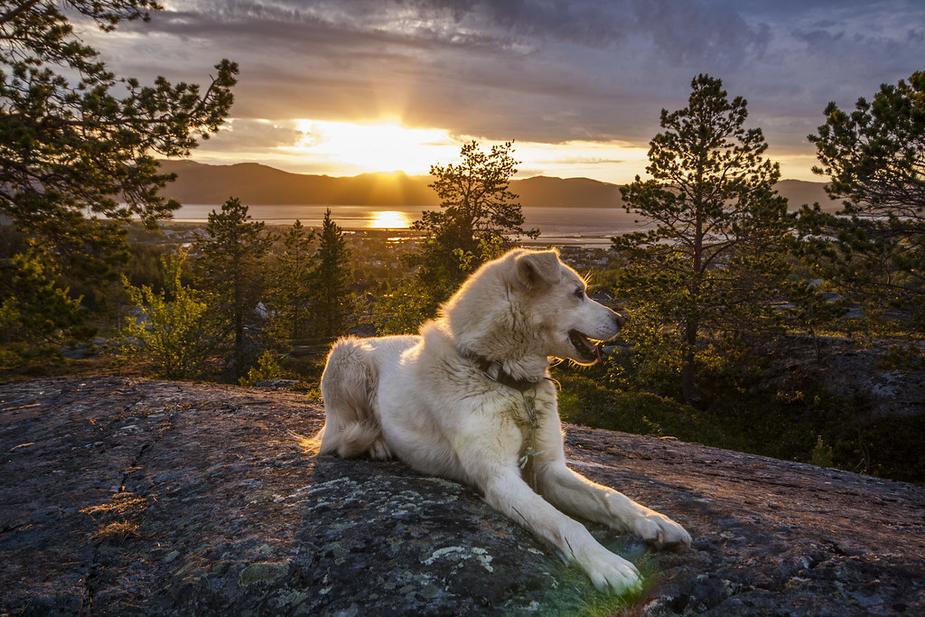
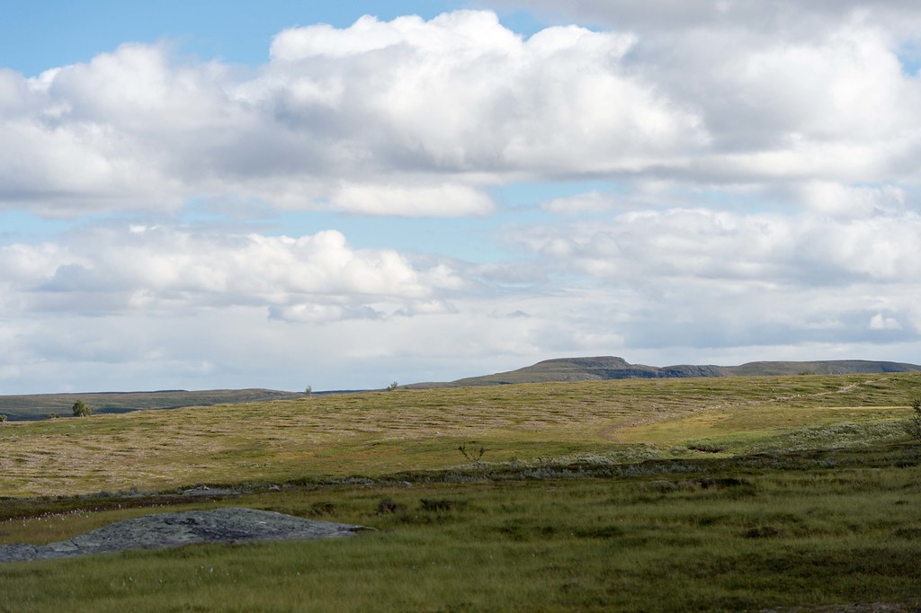
The view!
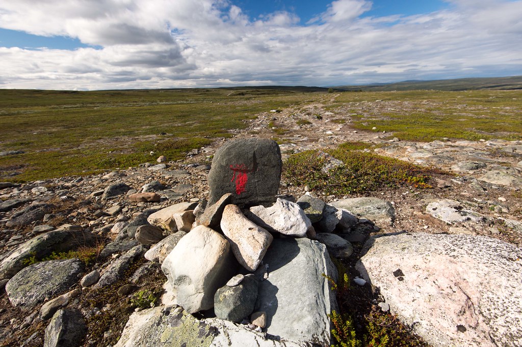
Øverst til høyre - Peskabrotta
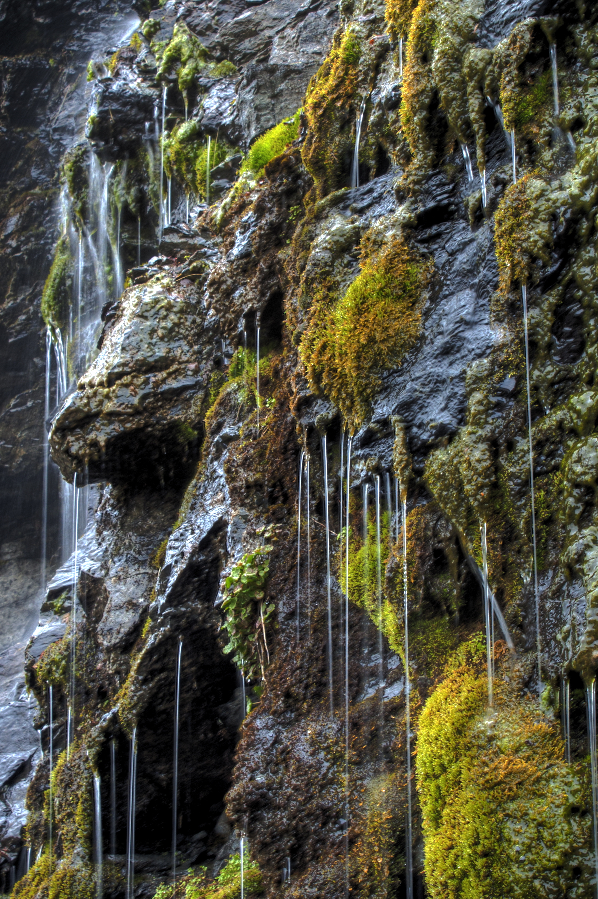
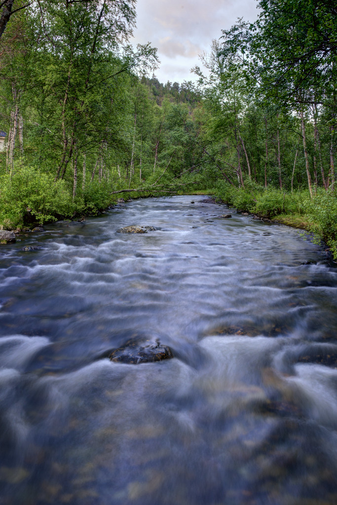
Rock wall water #1
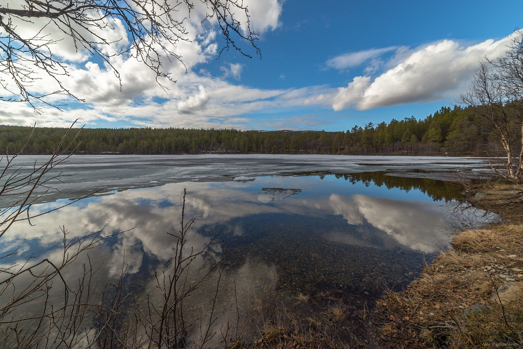
Nice and quiet and summer is coming soon in the Arctic

6tag_240614-222536
sierra cabinweekend

18 mm - ¹⁄₃₂₀ Sek. - f/9.0
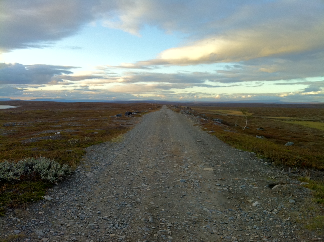
On the old road again

Noruega 07 - 08
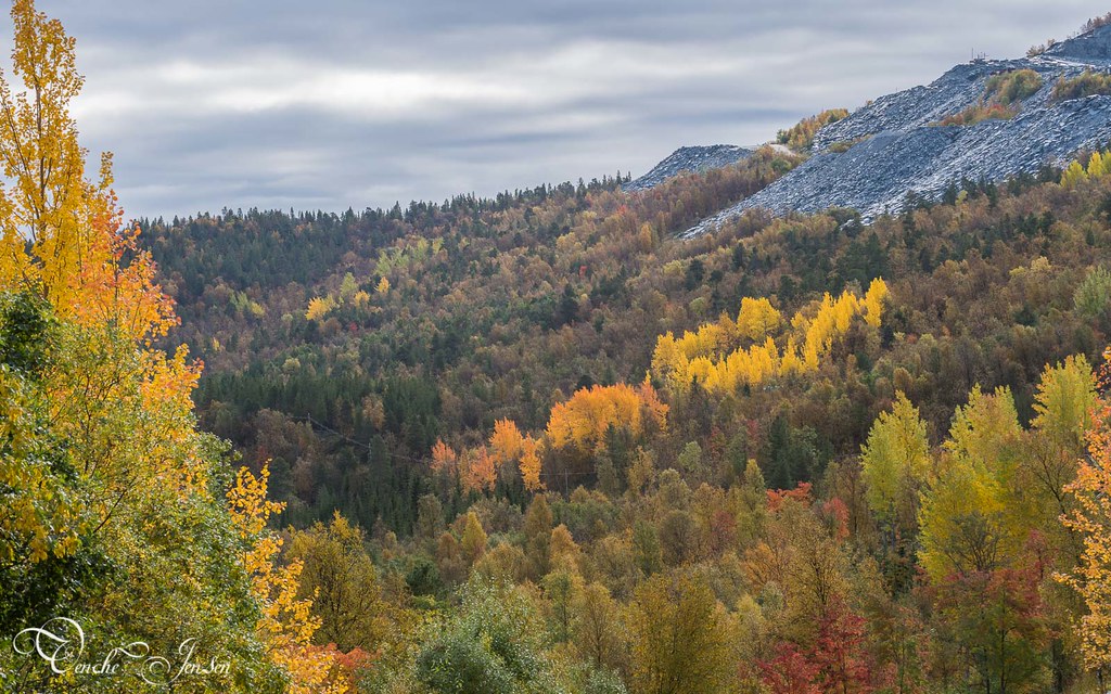
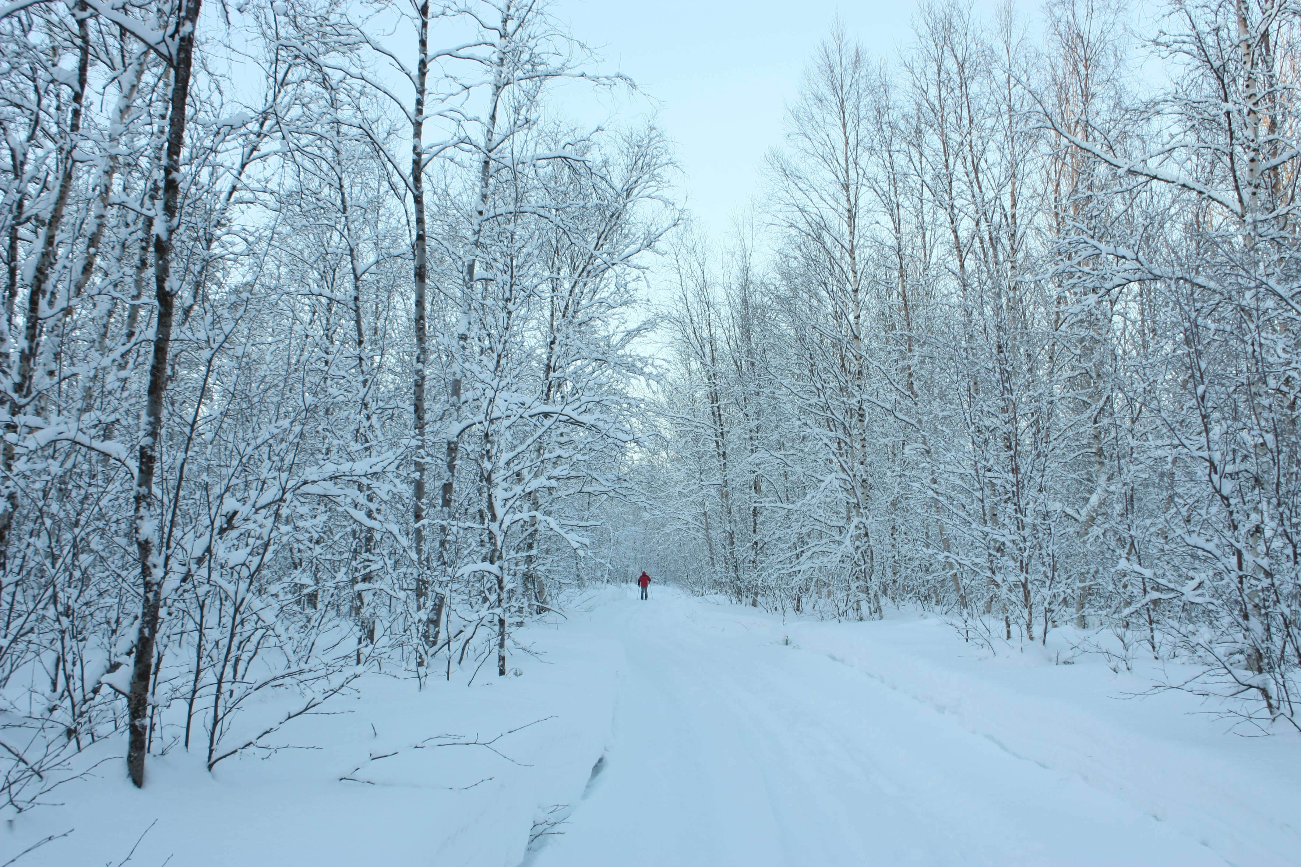
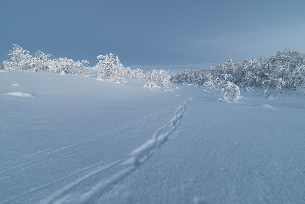
Before the Snow

6tag_240614-222727

20130809-_DSC1165
Noruega 07 - 08
20130809-_DSC1146
20130809-_DSC1167
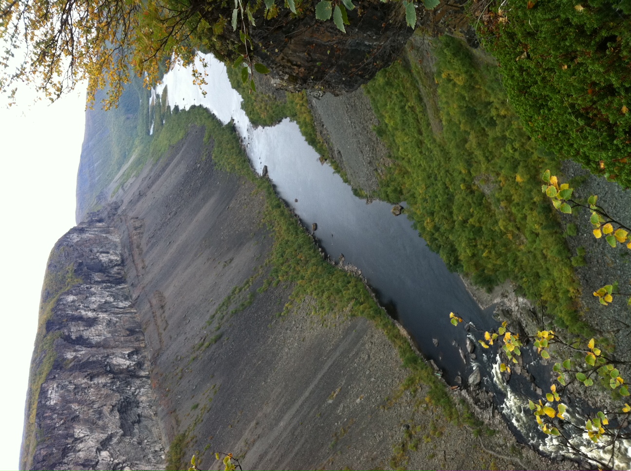
Sautso (Alta river canyon) - upstream
CFR4042 By the River
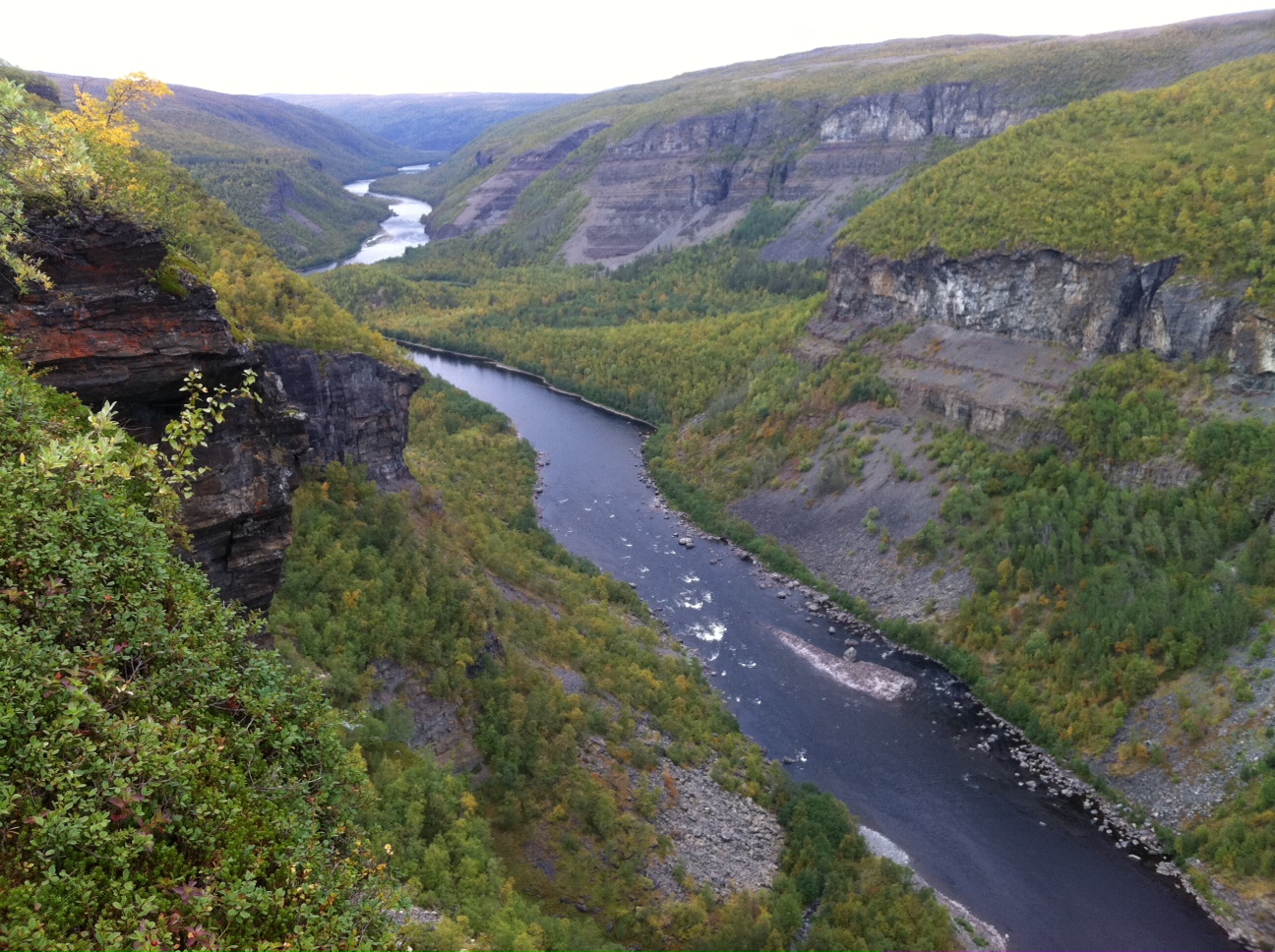
Sautso (Alta river canyon) - downstream
Cold frosty trees
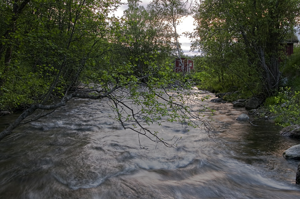
CFR4056 River flow
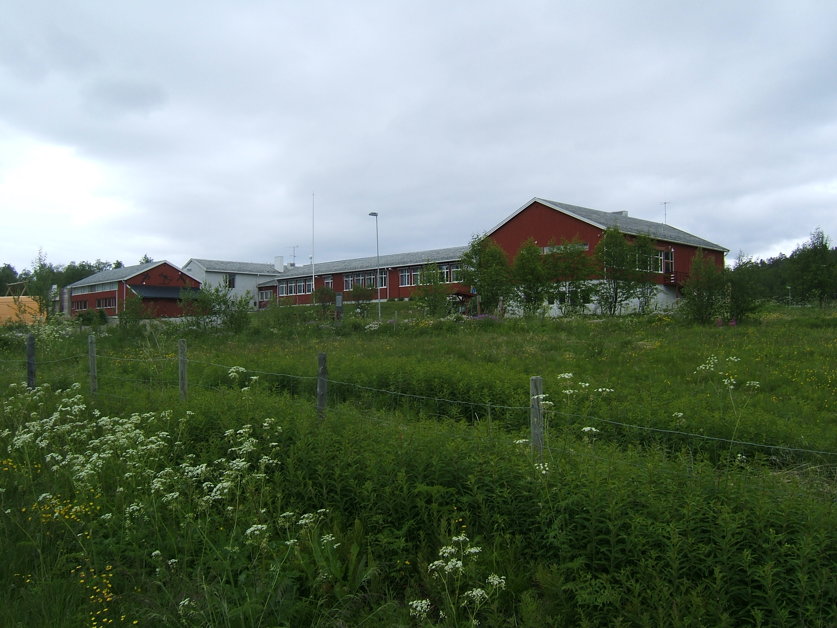
Solheim school
20130809-_DSC1145
Topographic Map of Gargia, Norway
Find elevation by address:

Places near Gargia, Norway:
Sorrisniva
17a
Moveien 9, Alta, Norway
Alta
Sørelvdalen 44, Alta, Norway
Alta River Camping
Alta
Kjeldsbergveien 8, Alta, Norway
Altaveien 11, Alta, Norway
Troms Og Finnmark
Auskarnes 26, Alta, Norway
Masi
Alattionvuono
Ongajoksetra
Rv93, Kautokeino, Norway
Kautokeino
Kautokeino
Suoidnejeaggi 13, Kautokeino, Norway
Recent Searches:
- Elevation of Corso Fratelli Cairoli, 35, Macerata MC, Italy
- Elevation of Tallevast Rd, Sarasota, FL, USA
- Elevation of 4th St E, Sonoma, CA, USA
- Elevation of Black Hollow Rd, Pennsdale, PA, USA
- Elevation of Oakland Ave, Williamsport, PA, USA
- Elevation of Pedrógão Grande, Portugal
- Elevation of Klee Dr, Martinsburg, WV, USA
- Elevation of Via Roma, Pieranica CR, Italy
- Elevation of Tavkvetili Mountain, Georgia
- Elevation of Hartfords Bluff Cir, Mt Pleasant, SC, USA