Elevation of Gampong Terujak, Serba Jadi, East Aceh Regency, Aceh, Indonesia
Location: Indonesia > Aceh > East Aceh Regency > Serba Jadi >
Longitude: 97.4597725
Latitude: 4.2586719
Elevation: 1490m / 4888feet
Barometric Pressure: 85KPa
Elevation Map:
Satellite Map:
Related Photos:
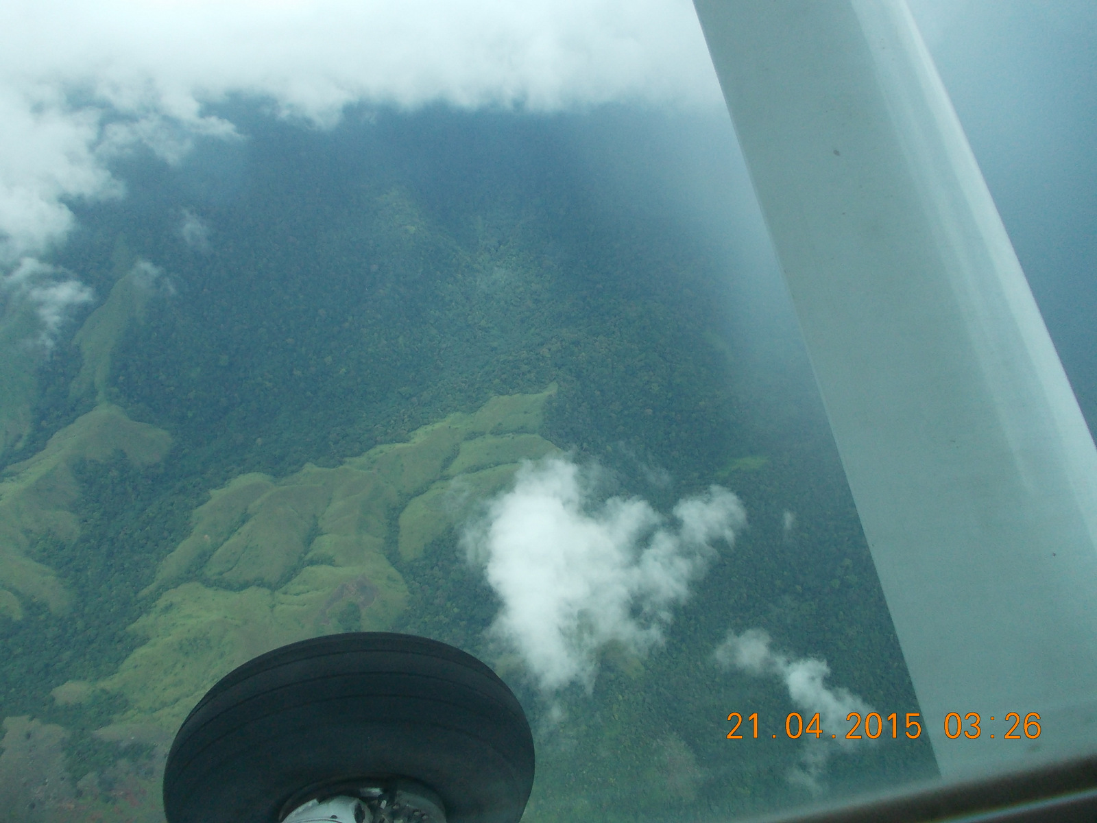
Day 3, Aceh: Flight over forest
Topographic Map of Gampong Terujak, Serba Jadi, East Aceh Regency, Aceh, Indonesia
Find elevation by address:

Places in Gampong Terujak, Serba Jadi, East Aceh Regency, Aceh, Indonesia:
Places near Gampong Terujak, Serba Jadi, East Aceh Regency, Aceh, Indonesia:
Gunung Mugajah
Serba Jadi
East Aceh Regency
Blang Tualang
Birem Bayeun
Aceh Tamiang Regency
Langsa
Langsa Kota
Langsa City
Kuala Simpang City
Kuala Simpang City
North Aceh Regency
Lhoksukon
Lhokseumawe City
Lhokseumawe
Recent Searches:
- Elevation of Corso Fratelli Cairoli, 35, Macerata MC, Italy
- Elevation of Tallevast Rd, Sarasota, FL, USA
- Elevation of 4th St E, Sonoma, CA, USA
- Elevation of Black Hollow Rd, Pennsdale, PA, USA
- Elevation of Oakland Ave, Williamsport, PA, USA
- Elevation of Pedrógão Grande, Portugal
- Elevation of Klee Dr, Martinsburg, WV, USA
- Elevation of Via Roma, Pieranica CR, Italy
- Elevation of Tavkvetili Mountain, Georgia
- Elevation of Hartfords Bluff Cir, Mt Pleasant, SC, USA