Elevation of Gambrell Rd, Townville, SC, USA
Location: United States > South Carolina > Townville >
Longitude: -82.900979
Latitude: 34.49675
Elevation: 230m / 755feet
Barometric Pressure: 99KPa
Elevation Map:
Satellite Map:
Related Photos:

The Broken
Andersonville Island view

Decaying Education

Bench Monday: 5th Edition of January
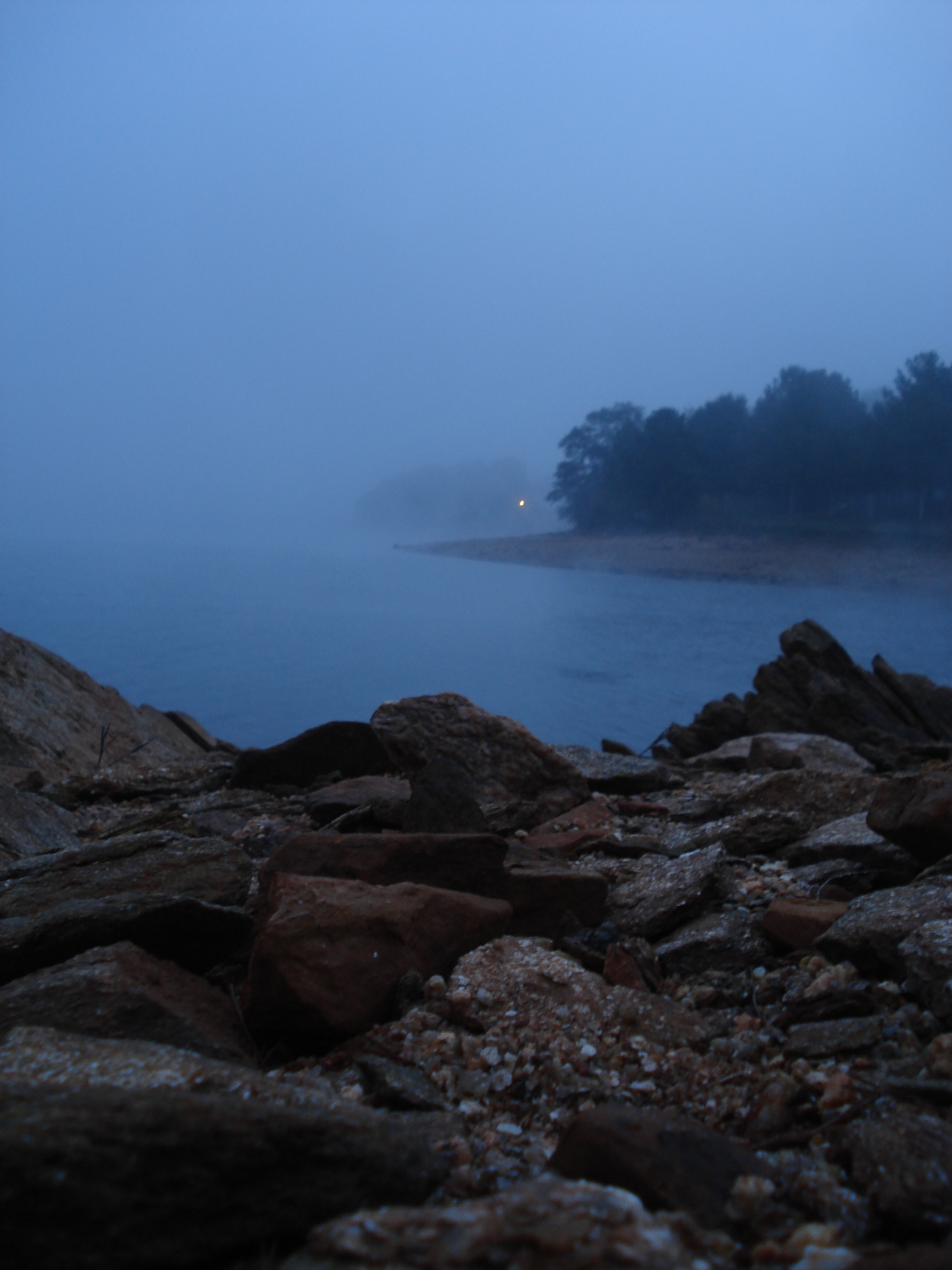
Misty View

View from the lake house living room. Looks like a geometry lesson.
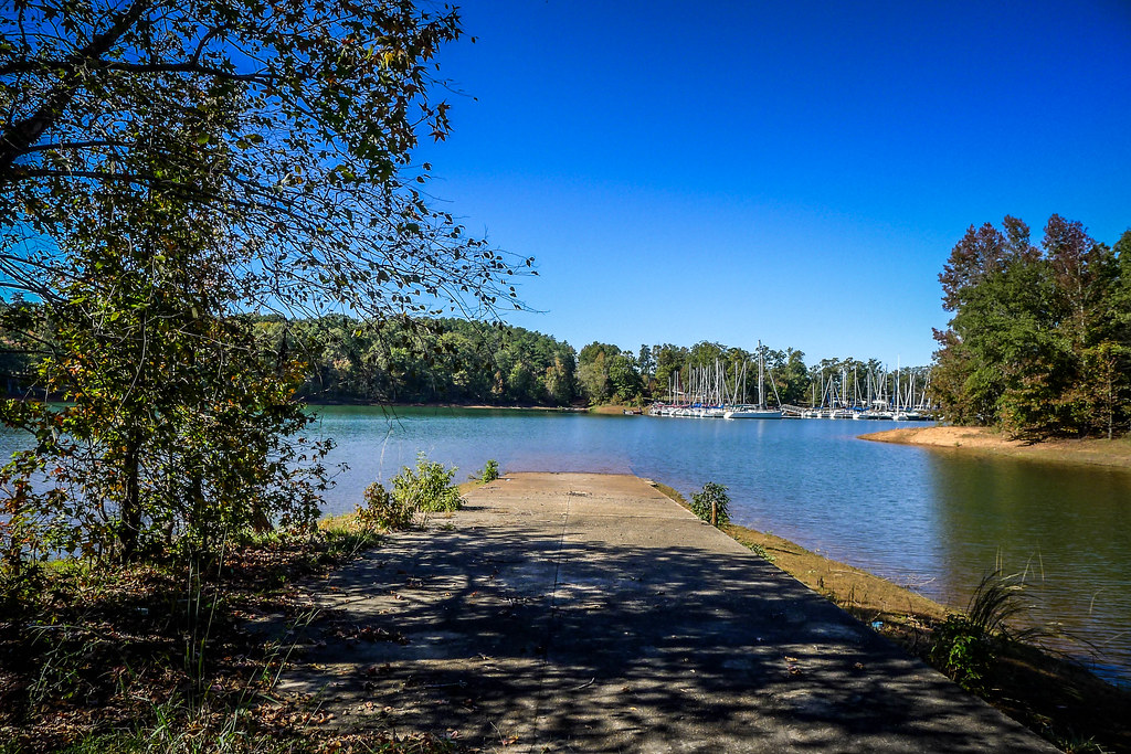
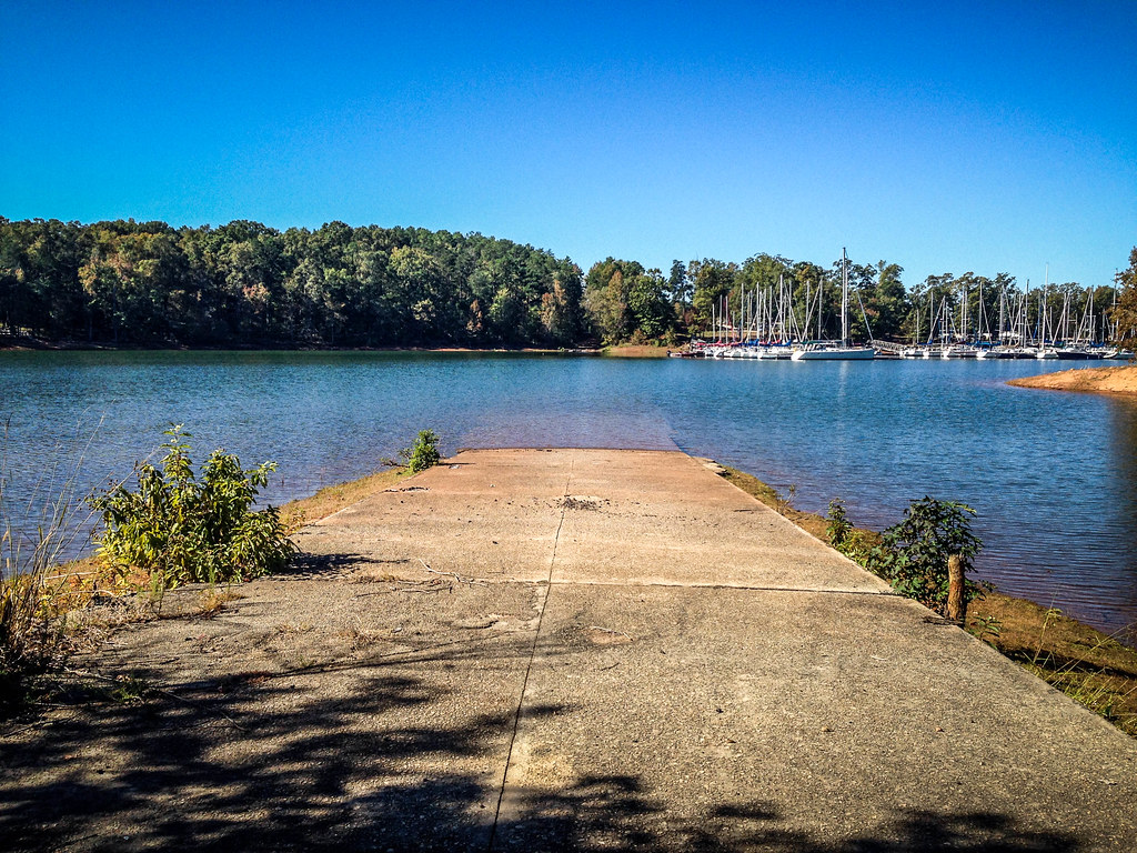
Campgrounds - Scenery
Rise above the land...

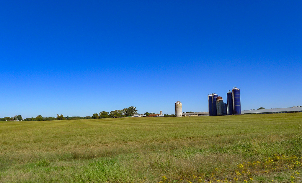
South Carolina #sc #southcarolina #clemson
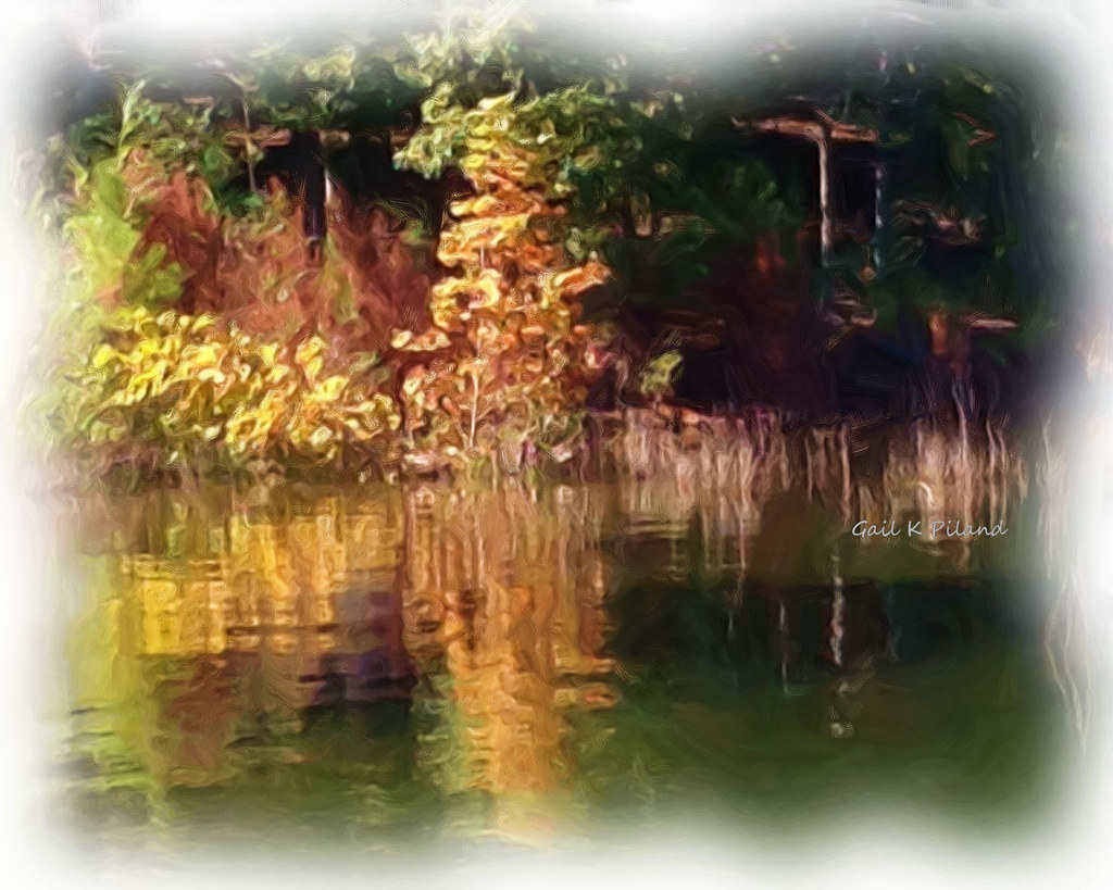
Day @ the lake
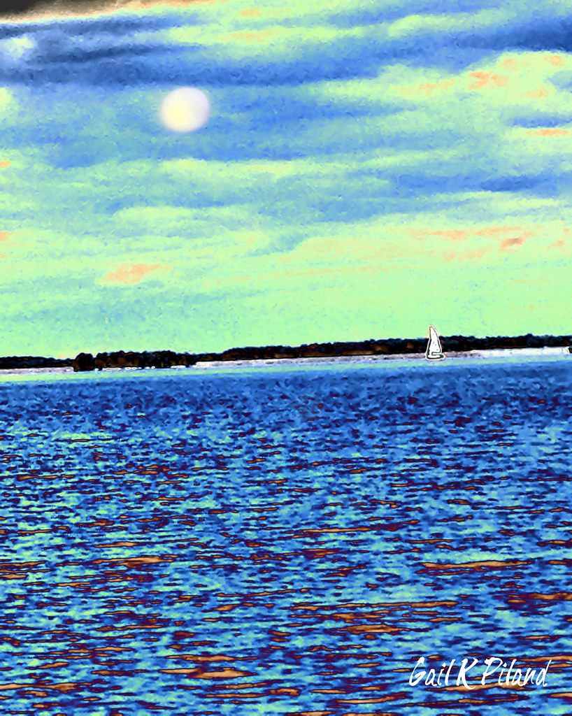
Autumn @ the lake_Painting

Andersonville Island Paddle-083

SC Christmas Vacation 2012
SC Christmas Vacation 2012
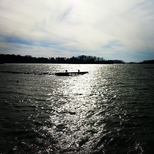
A little brisk out here. #Hartwell
SC Christmas Vacation 2012

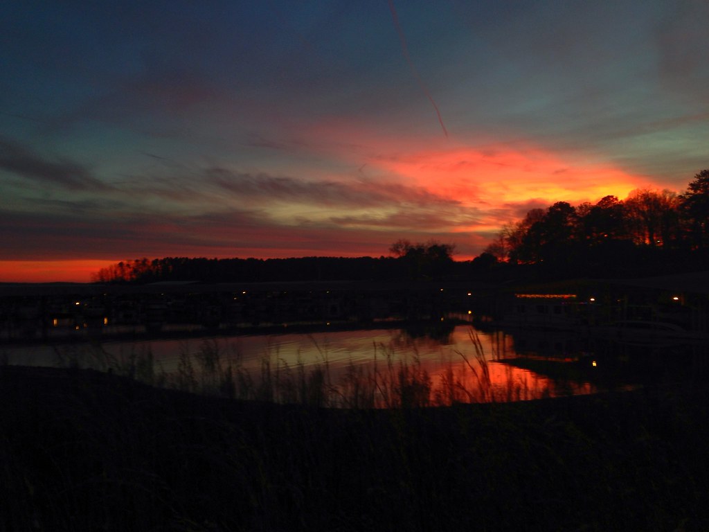
sunrise on Lake Hartwell

Campgrounds - Scenery

It's like the opening of Flash Gordon
Bankhead Highway through South Carolina-160
Campgrounds - Scenery
Bankhead Highway through South Carolina-248
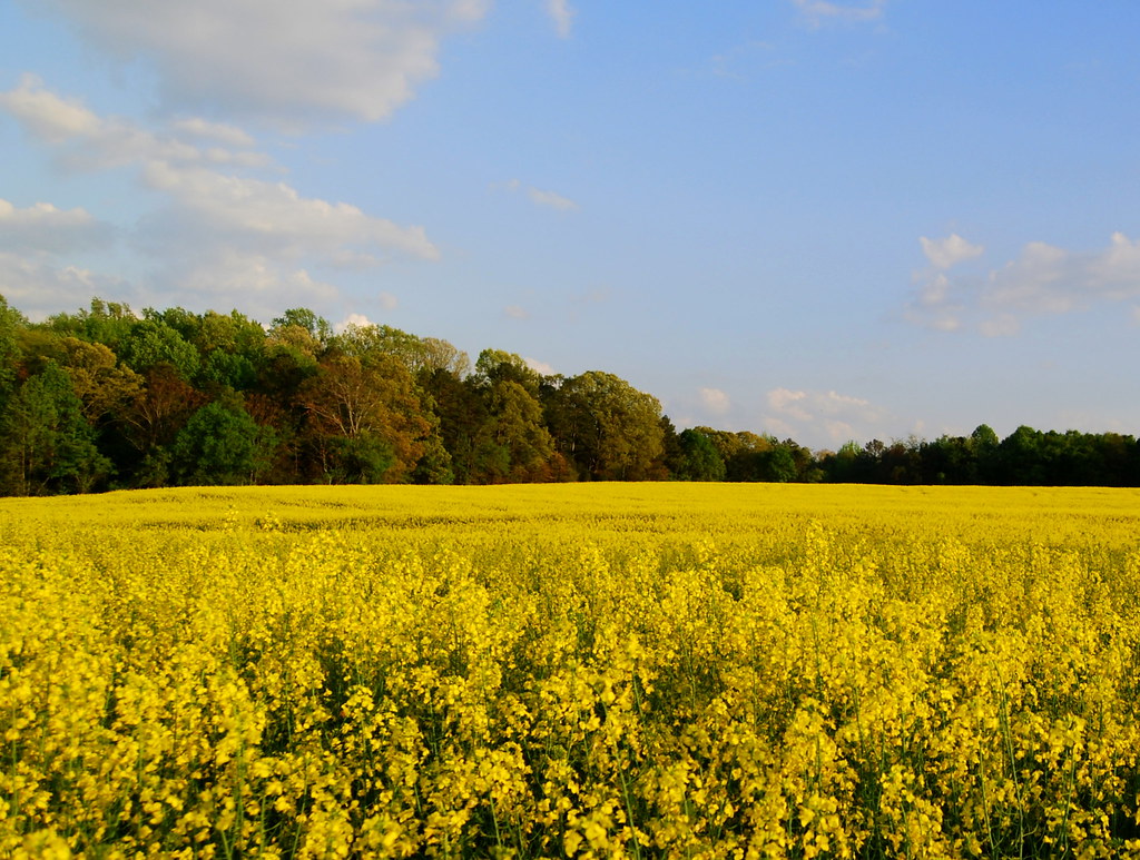
i went back to south carolina today just to look at these flowers
Bankhead Highway through South Carolina-152

Goodnight, Sunday!

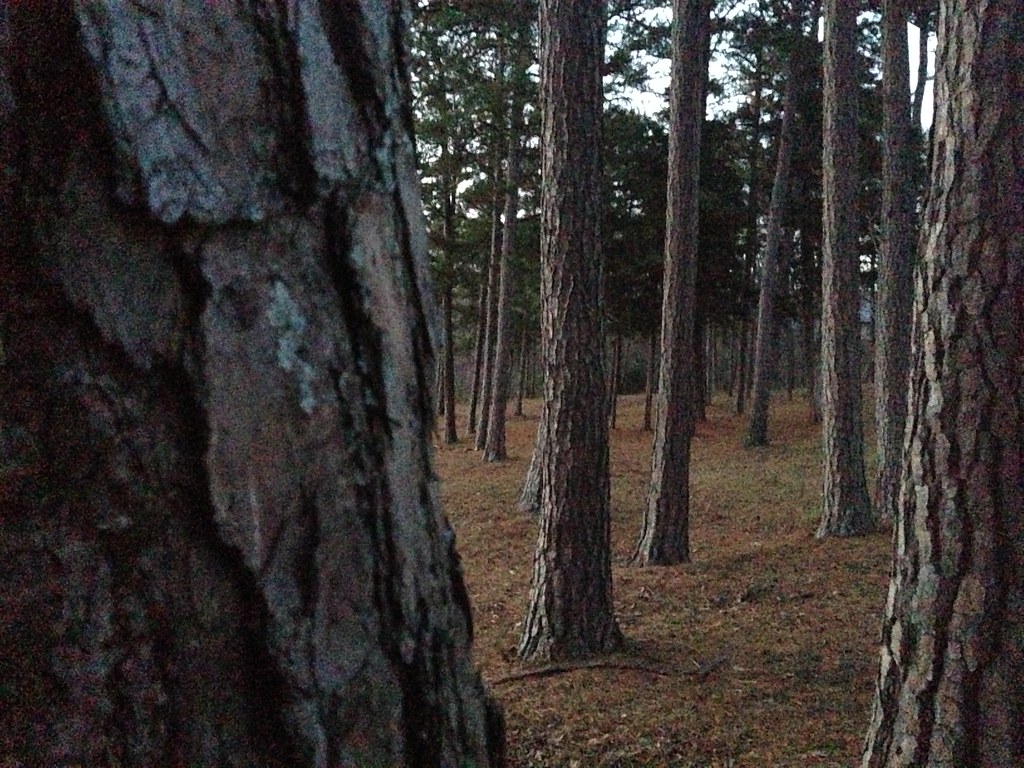
Texture of morning... One of the wonderful pleasures of camping. #BSA #blackandwhite #bnw #bw #shotoniphone6 #sunrise #nature #woods #forest #blueridgecouncil #camping
Bankhead Highway through South Carolina-162
Topographic Map of Gambrell Rd, Townville, SC, USA
Find elevation by address:

Places near Gambrell Rd, Townville, SC, USA:
938 Dogwood Ln
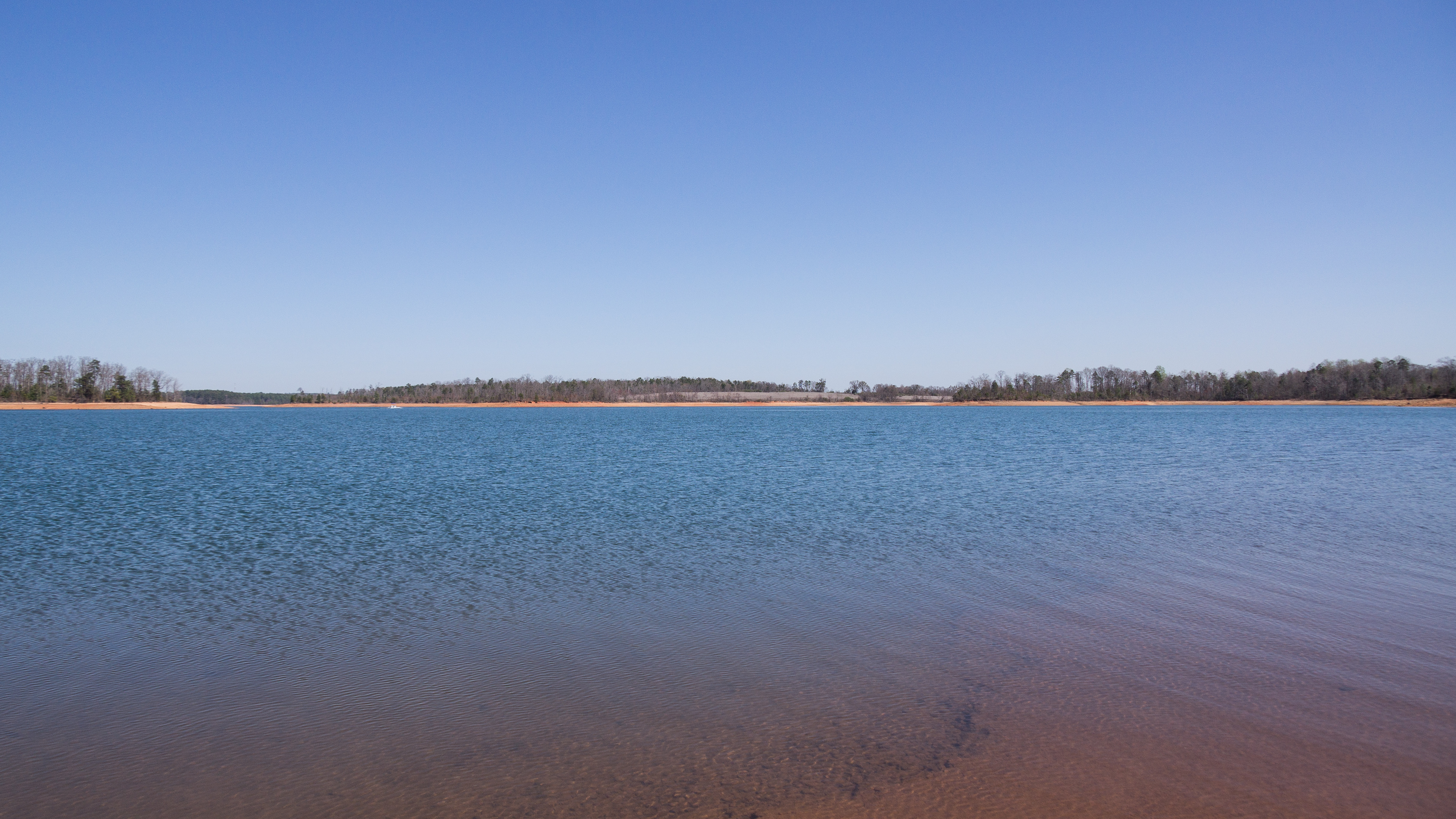
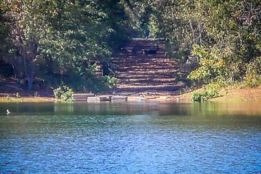
Lake Hartwell
Townville
16 Harry Davis Rd
216 Circle Dr
870 Durham Brown Rd
391 Friendship Valley Rd
8 Anchor Point, Anderson, SC, USA
Cartee Rd, Anderson, SC, USA
2701 Sc-187
114 Gareloch Ln
Anderson, SC, USA
404 Sc-187
404 Rowland Rd
2021 Brown Rd
474 Mcclure Rd
125 Upper View Terrace
Whitehall Road
Sandy Springs
Denver Rd, Anderson, SC, USA
Recent Searches:
- Elevation of Corso Fratelli Cairoli, 35, Macerata MC, Italy
- Elevation of Tallevast Rd, Sarasota, FL, USA
- Elevation of 4th St E, Sonoma, CA, USA
- Elevation of Black Hollow Rd, Pennsdale, PA, USA
- Elevation of Oakland Ave, Williamsport, PA, USA
- Elevation of Pedrógão Grande, Portugal
- Elevation of Klee Dr, Martinsburg, WV, USA
- Elevation of Via Roma, Pieranica CR, Italy
- Elevation of Tavkvetili Mountain, Georgia
- Elevation of Hartfords Bluff Cir, Mt Pleasant, SC, USA