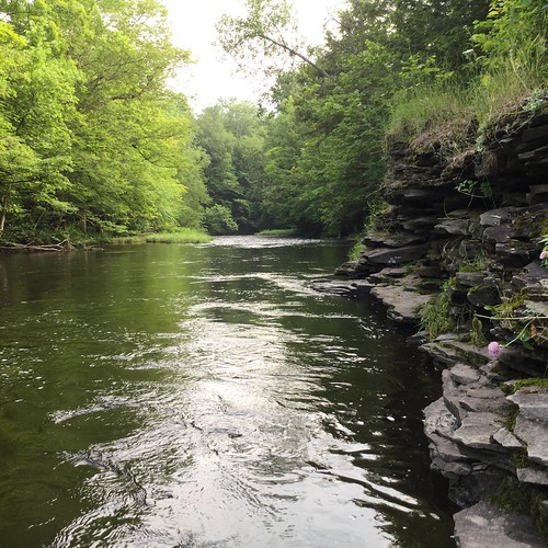
Elevation of Gallo Rd, Taberg, NY, USA
Location: United States > New York > Lewis County > Lewis >
Longitude: -75.603322
Latitude: 43.462837
Elevation: 401m / 1316feet
Barometric Pressure: 97KPa
Related Photos:
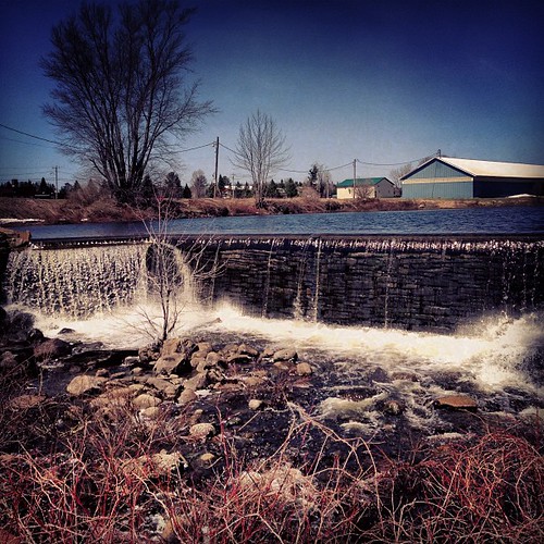
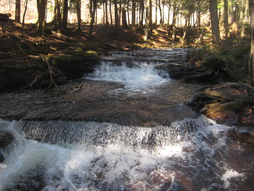
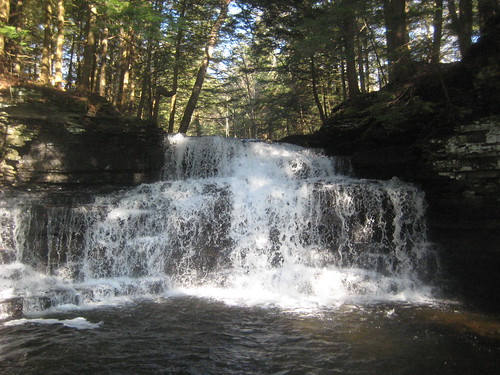
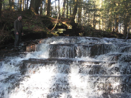
West Leyden, New York #tughill #upstatenewyork #newyork #ny #creek #waterfront #waterscapes #waterfall #adirondack #gonefishing #iphone5
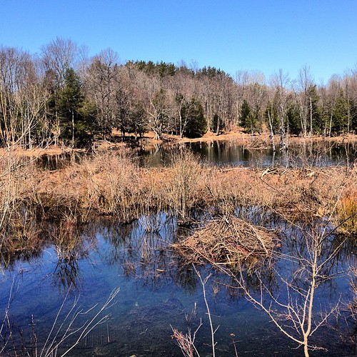
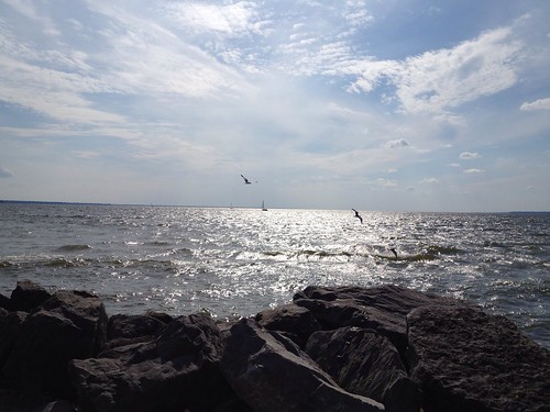
Ava, New York #cnycentral #upstate #newyorkstate #newyork #nyoutdoors #ny #igers #urbangangfamily #igersftl #weatherchannel #webstagram #statigram #gramfeed #PointRock #tughill #instagram #instagramnewyork
Topographic Map of Gallo Rd, Taberg, NY, USA
Find elevation by address:

Places near Gallo Rd, Taberg, NY, USA:
1562 Driscoll Rd
Osceola
1312 Mary St
Osceola
11585 Thompson Corners-florence Rd
Florence
2879 N Osceola Rd
2542 Prince Brook Rd
Prince Brook Road
120 County Rte 39
120 County Rte 39
211 Fox Rd
111 County Rte 47
162 County Rte 47
188 County Rte 47
188 County Rte 47
Mc Caw Road
235 Mc Caw Rd
686 County Rte 27
1 Yeardon Drive Spur
Recent Searches:
- Elevation of Corso Fratelli Cairoli, 35, Macerata MC, Italy
- Elevation of Tallevast Rd, Sarasota, FL, USA
- Elevation of 4th St E, Sonoma, CA, USA
- Elevation of Black Hollow Rd, Pennsdale, PA, USA
- Elevation of Oakland Ave, Williamsport, PA, USA
- Elevation of Pedrógão Grande, Portugal
- Elevation of Klee Dr, Martinsburg, WV, USA
- Elevation of Via Roma, Pieranica CR, Italy
- Elevation of Tavkvetili Mountain, Georgia
- Elevation of Hartfords Bluff Cir, Mt Pleasant, SC, USA
