Elevation of Gale Moor Ave, Gosport PO12 2TB, UK
Location: United Kingdom > Hampshire >
Longitude: -1.1666767
Latitude: 50.7906544
Elevation: -10000m / -32808feet
Barometric Pressure: 295KPa
Elevation Map:
Satellite Map:
Related Photos:

Old Railway Swing Bridge.....
Victoria`s View HWW

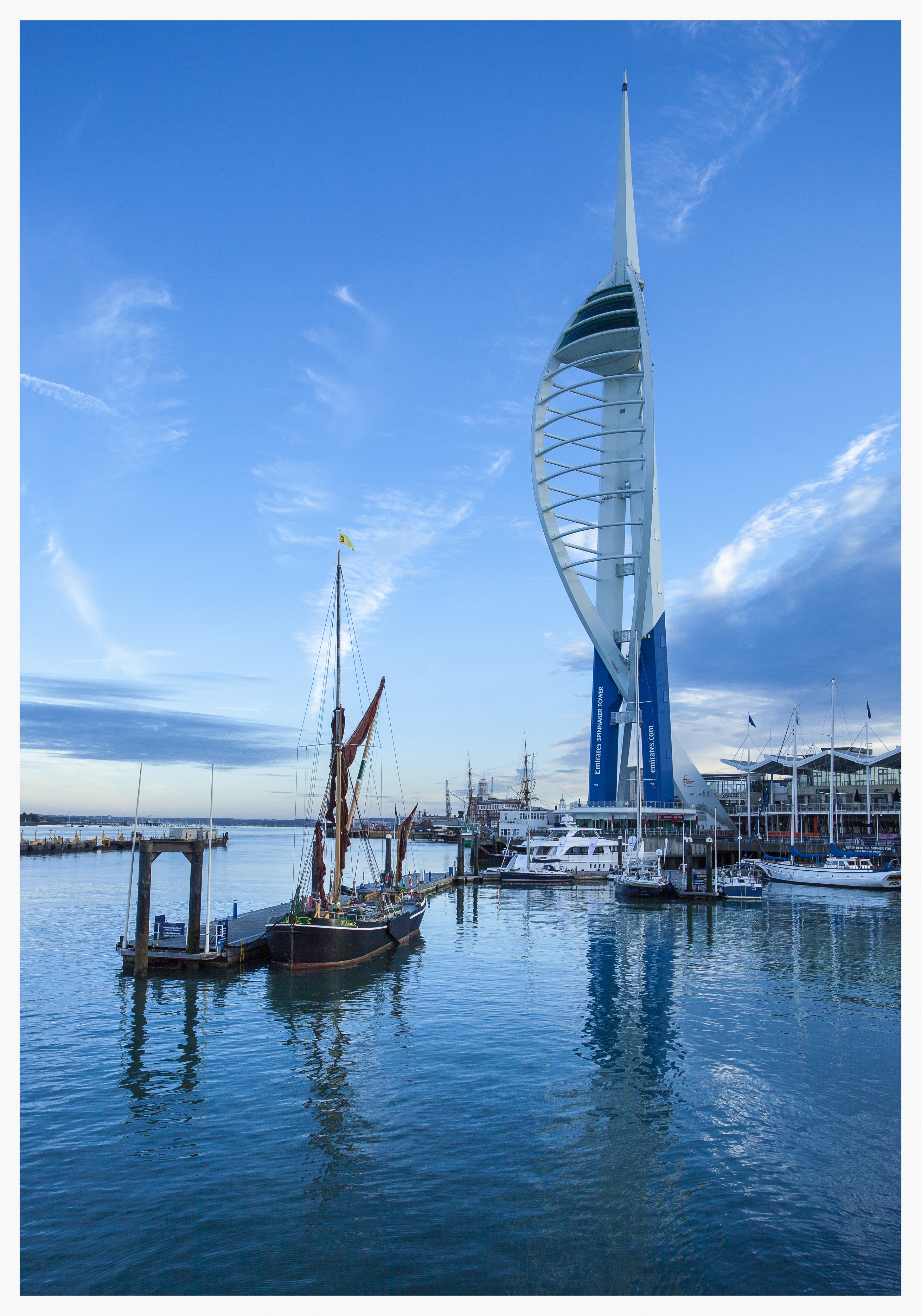
Hampshire, Portsmouth (8) The Spinnaker Tower

alone in the fog

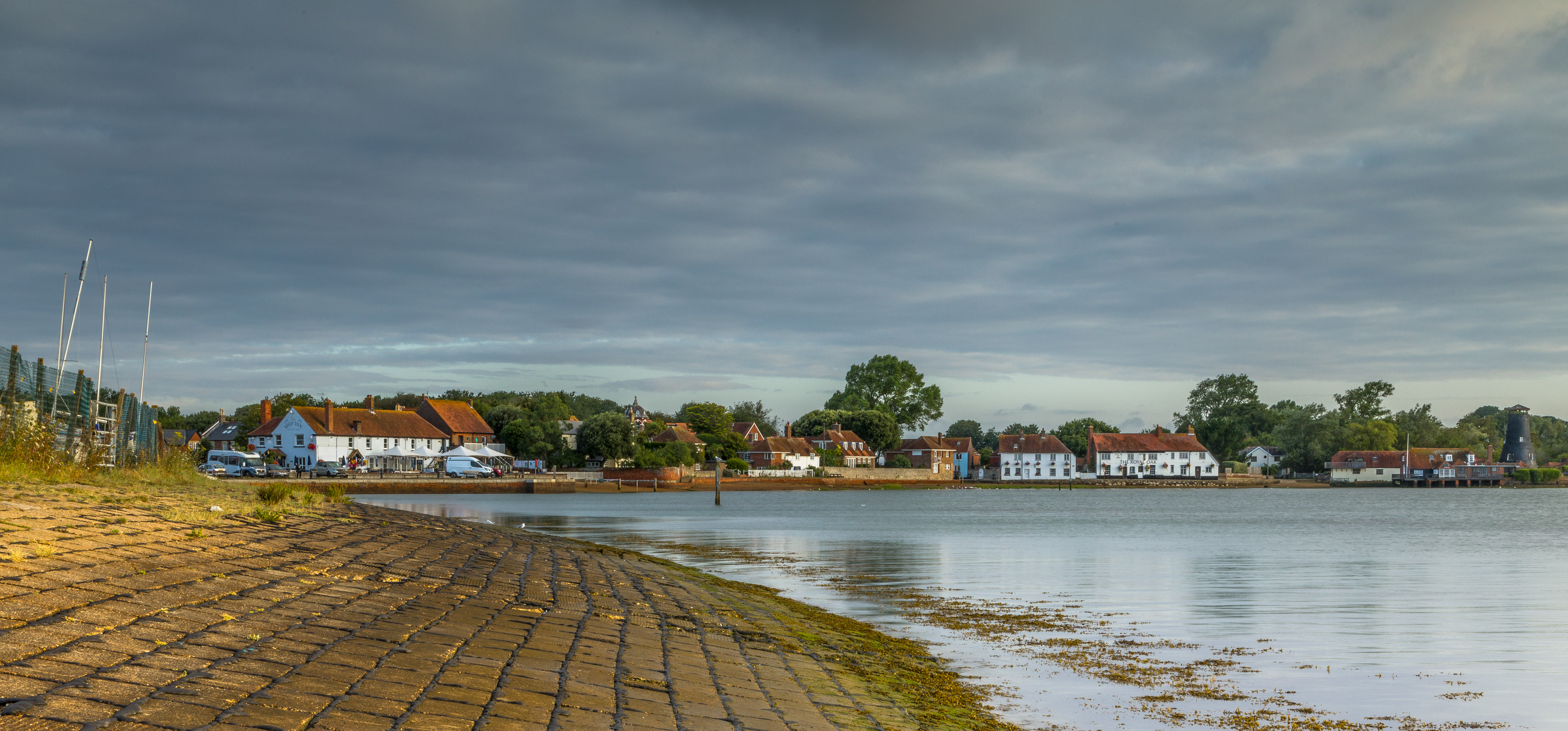
Emsworth Harbour

Spinnaker Tower

moments of happiness and always good light for 2019!

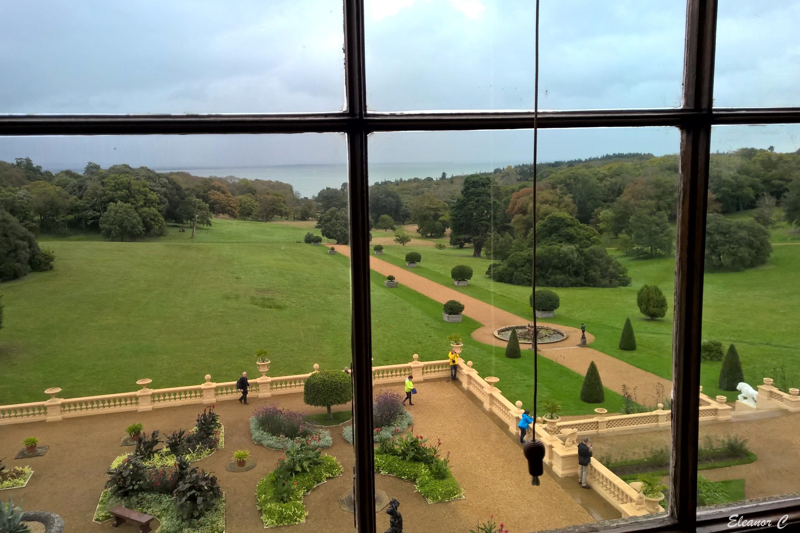
Framed View

Room With A View
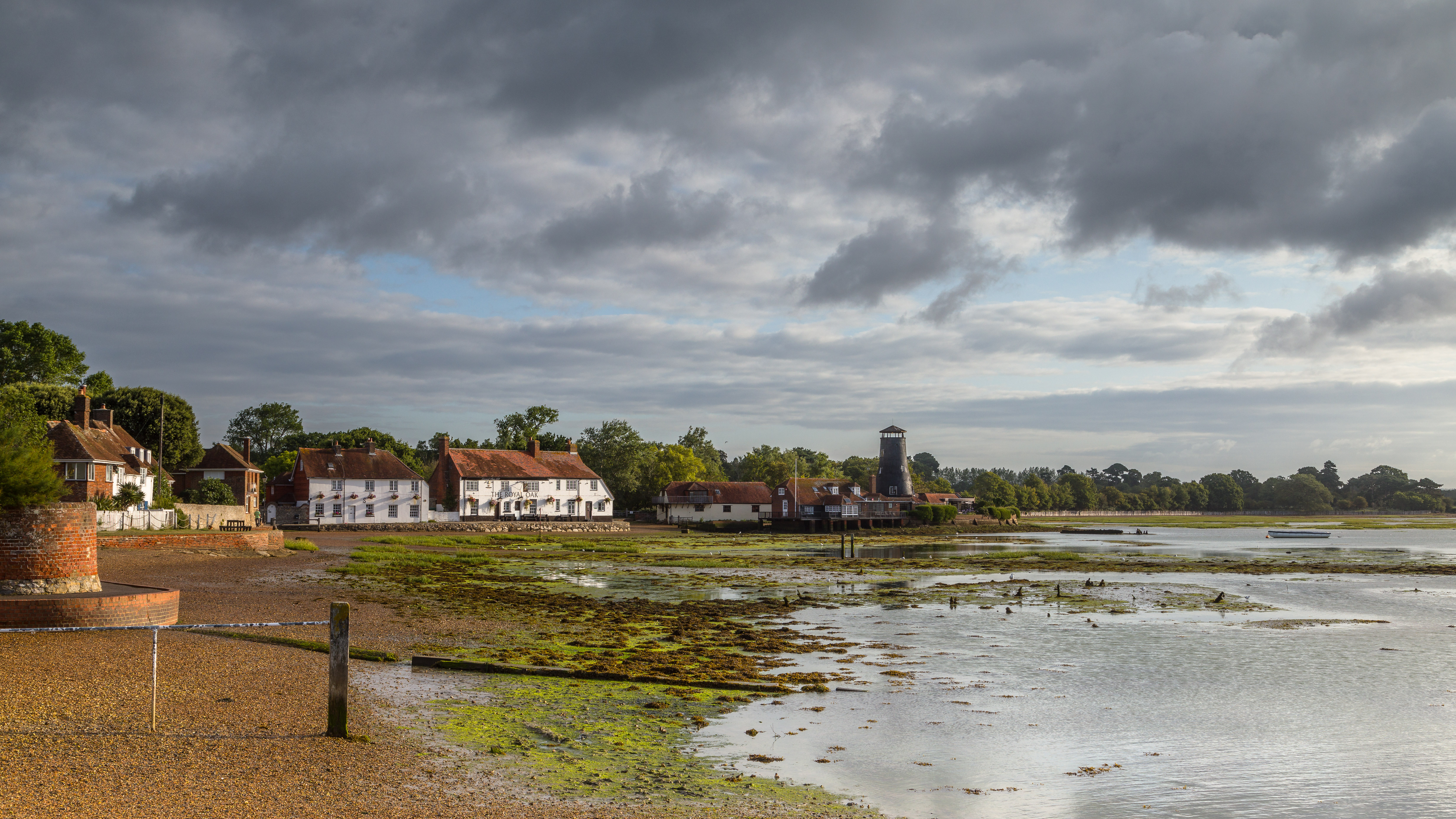
Low Tide at The Royal Oak

My view

No Man's Fort in the Solent off Portsmouth - UK aerial

Solent Views-E9200266

Stokes Bay, Gosport
Masts a full View

The view from the beach
A wider view of the 2 pubs and Old Mill

Solent Way Footbridge

Barred Warbler

Through Solent Mist

Waxwing 2

Dusky Blue Hour View of West Cowes from East Cowes at Low Tide

Titchfield Abbey, Hampshire, England

Moody Sunset

The Oak & the Pylon.....

Crambe maritima (Sea-Kale)
Sunlit Grass
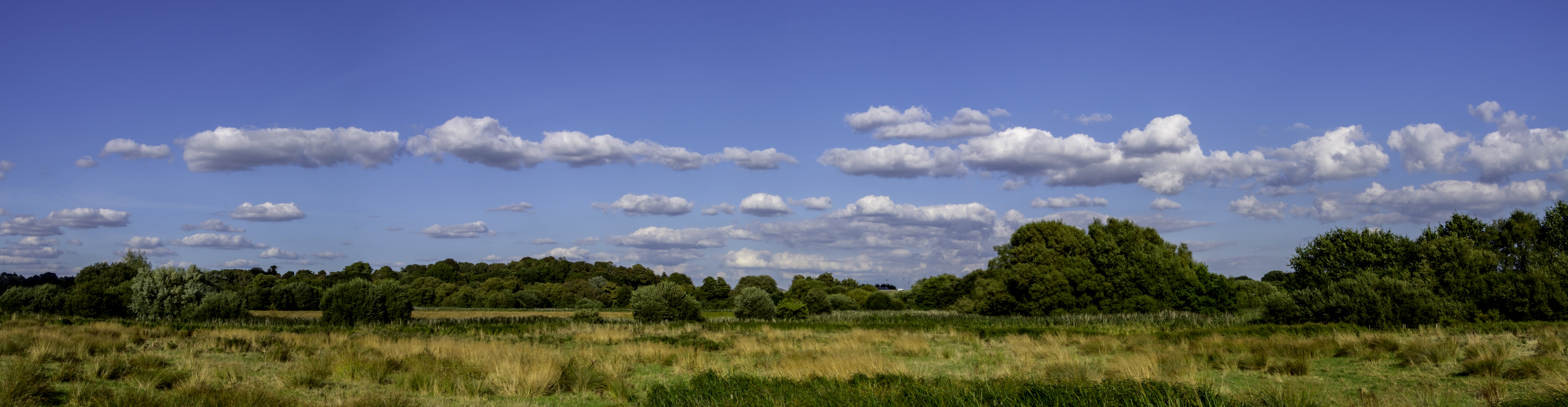
Titchfield Haven Pano

Osbourne House

Portsmouth Sunrise at South Parade Pier

River Wallington walk. Fareham

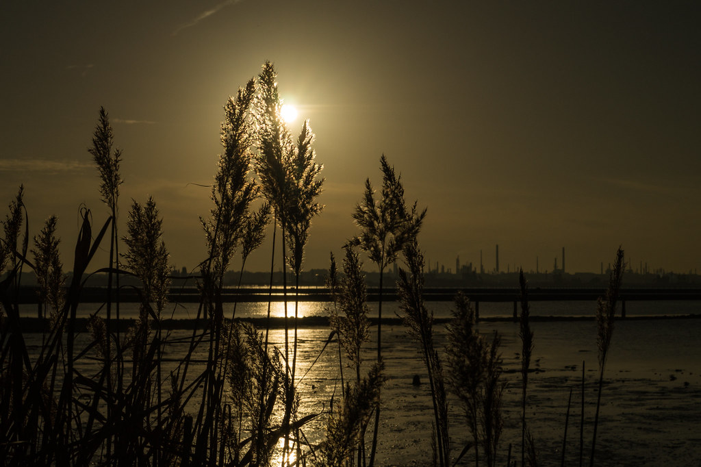
Titchfield Sunrise

Sun rising over the Cockle ponds

TERRA INCOGNITA

The Future is Bright Pip!

The Fast Track

Sea Defences

Titchfield Haven Nature Reserve

Solent, the strait that separates the Isle of Wight from the mainland of England. It is about 20 miles (32 kilometres) long and varies in width between 2 1⁄2 and 5 mi (4 and 8 km)

Southsea Sky
Topographic Map of Gale Moor Ave, Gosport PO12 2TB, UK
Find elevation by address:

Places near Gale Moor Ave, Gosport PO12 2TB, UK:
Gilkicker Road
Po12 2un
Po12 2uw
Po12 1gn
Po12 1eq
High Street
Harbour Road
Gosport
Po1 2jl
Po1 3ex
Gobles Close
Osborne Road
Southsea
2 Pond Ln, Seaview PO34 5AF, UK
Seaview
Old Bridge Road
Saint Helens
Brading
1 Harbour View, The Duver, Ryde PO33 1YB, UK
Po36 0ns
Recent Searches:
- Elevation of Corso Fratelli Cairoli, 35, Macerata MC, Italy
- Elevation of Tallevast Rd, Sarasota, FL, USA
- Elevation of 4th St E, Sonoma, CA, USA
- Elevation of Black Hollow Rd, Pennsdale, PA, USA
- Elevation of Oakland Ave, Williamsport, PA, USA
- Elevation of Pedrógão Grande, Portugal
- Elevation of Klee Dr, Martinsburg, WV, USA
- Elevation of Via Roma, Pieranica CR, Italy
- Elevation of Tavkvetili Mountain, Georgia
- Elevation of Hartfords Bluff Cir, Mt Pleasant, SC, USA