Elevation of GA-, Danville, GA, USA
Location: United States > Georgia > Bleckley County > Danville >
Longitude: -83.253669
Latitude: 32.5581556
Elevation: 123m / 404feet
Barometric Pressure: 100KPa
Elevation Map:
Satellite Map:
Related Photos:


GWFG
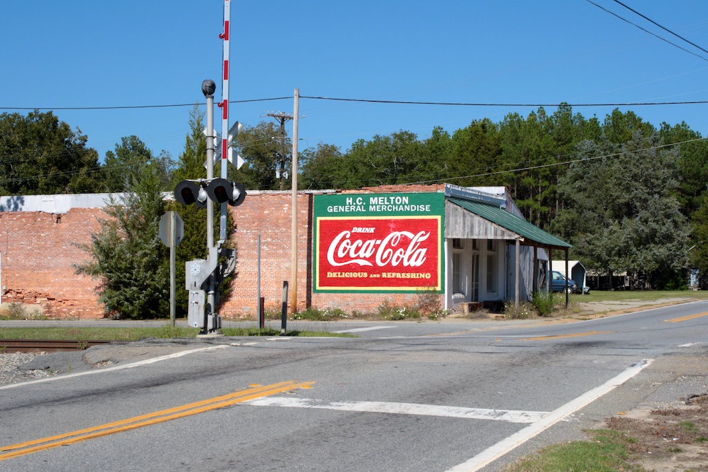
Allentown, Georgia

Tonight's sunset ❤
In Allentown
Mitch's front porch
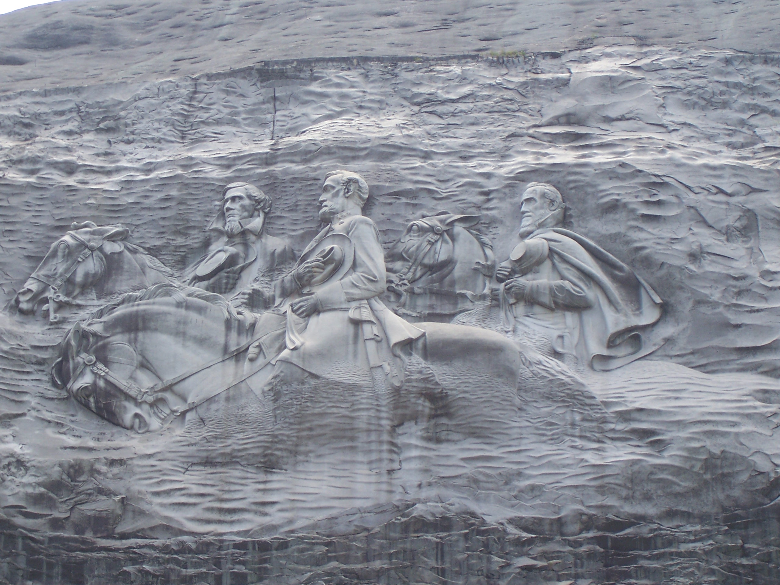
Stone Mountian, GA

IMG_3771.jpg

IMG_3757.jpg

IMG_3763.jpg

IMG_3771.jpg
Crushing Pano.jpg
The Life
The Life

The Life

The Life
The Life
The Life

The Life
The Life
The Life

CIMG1883.JPG
CIMG1882.JPG
Topographic Map of GA-, Danville, GA, USA
Find elevation by address:

Places near GA-, Danville, GA, USA:
Allen Ave, Allentown, GA, USA
Allentown
Danville
Abney Rd, Cochran, GA, USA
Dykes St, Cochran, GA, USA
Montrose
US-80, Montrose, GA, USA
Lucas Davis Rd, Dudley, GA, USA
Jeffersonville
242 E Dykes St
Chester
Bleckley County
Cochran
Empire Chester Hwy, Cochran, GA, USA
Shady Grove Church Rd, Dublin, GA, USA
Hillside Family Campground
126 E Lakeshore Dr
2895 J R Sims Rd
US-23, Dry Branch, GA, USA
Twiggs County
Recent Searches:
- Elevation of Corso Fratelli Cairoli, 35, Macerata MC, Italy
- Elevation of Tallevast Rd, Sarasota, FL, USA
- Elevation of 4th St E, Sonoma, CA, USA
- Elevation of Black Hollow Rd, Pennsdale, PA, USA
- Elevation of Oakland Ave, Williamsport, PA, USA
- Elevation of Pedrógão Grande, Portugal
- Elevation of Klee Dr, Martinsburg, WV, USA
- Elevation of Via Roma, Pieranica CR, Italy
- Elevation of Tavkvetili Mountain, Georgia
- Elevation of Hartfords Bluff Cir, Mt Pleasant, SC, USA