Elevation map of Gôh-Djiboua District, Côte d'Ivoire
Location: Côte D'ivoire >
Longitude: -5.5617279
Latitude: 5.8711393
Elevation: 199m / 653feet
Barometric Pressure: 99KPa
Elevation Map:
Satellite Map:
Related Photos:

Sunset over Knapdale and the West Loch Tarbert, 2018 Jul 30 -- photo 2
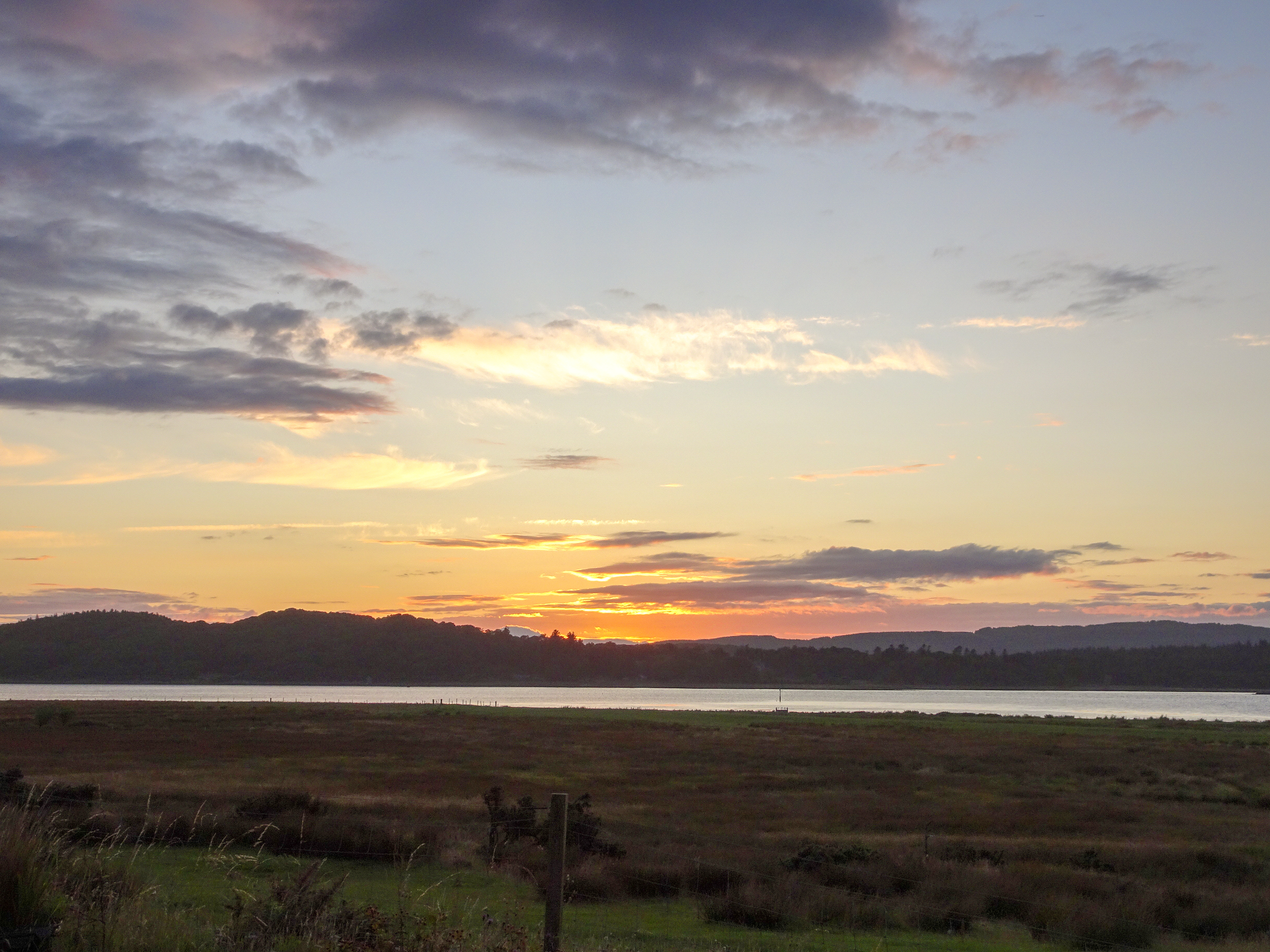
Sunset over Knapdale and the West Loch Tarbert, 2018 Jul 30 -- photo 1

Greylag walking on grass, 2018 Jul 30

Greylag standing on grass, 2018 Jul 30

At the market [explored]

F.A.Q. [explored]
[Im]possible dream
Topographic Map of Gôh-Djiboua District, Côte d'Ivoire
Find elevation by address:

Places in Gôh-Djiboua District, Côte d'Ivoire:
Places near Gôh-Djiboua District, Côte d'Ivoire:
Recent Searches:
- Elevation of Corso Fratelli Cairoli, 35, Macerata MC, Italy
- Elevation of Tallevast Rd, Sarasota, FL, USA
- Elevation of 4th St E, Sonoma, CA, USA
- Elevation of Black Hollow Rd, Pennsdale, PA, USA
- Elevation of Oakland Ave, Williamsport, PA, USA
- Elevation of Pedrógão Grande, Portugal
- Elevation of Klee Dr, Martinsburg, WV, USA
- Elevation of Via Roma, Pieranica CR, Italy
- Elevation of Tavkvetili Mountain, Georgia
- Elevation of Hartfords Bluff Cir, Mt Pleasant, SC, USA