Elevation of Furcy, Haiti
Location: Haiti > Ouest >
Longitude: -72.300032
Latitude: 18.4176417
Elevation: 1534m / 5033feet
Barometric Pressure: 84KPa
Elevation Map:
Satellite Map:
Related Photos:
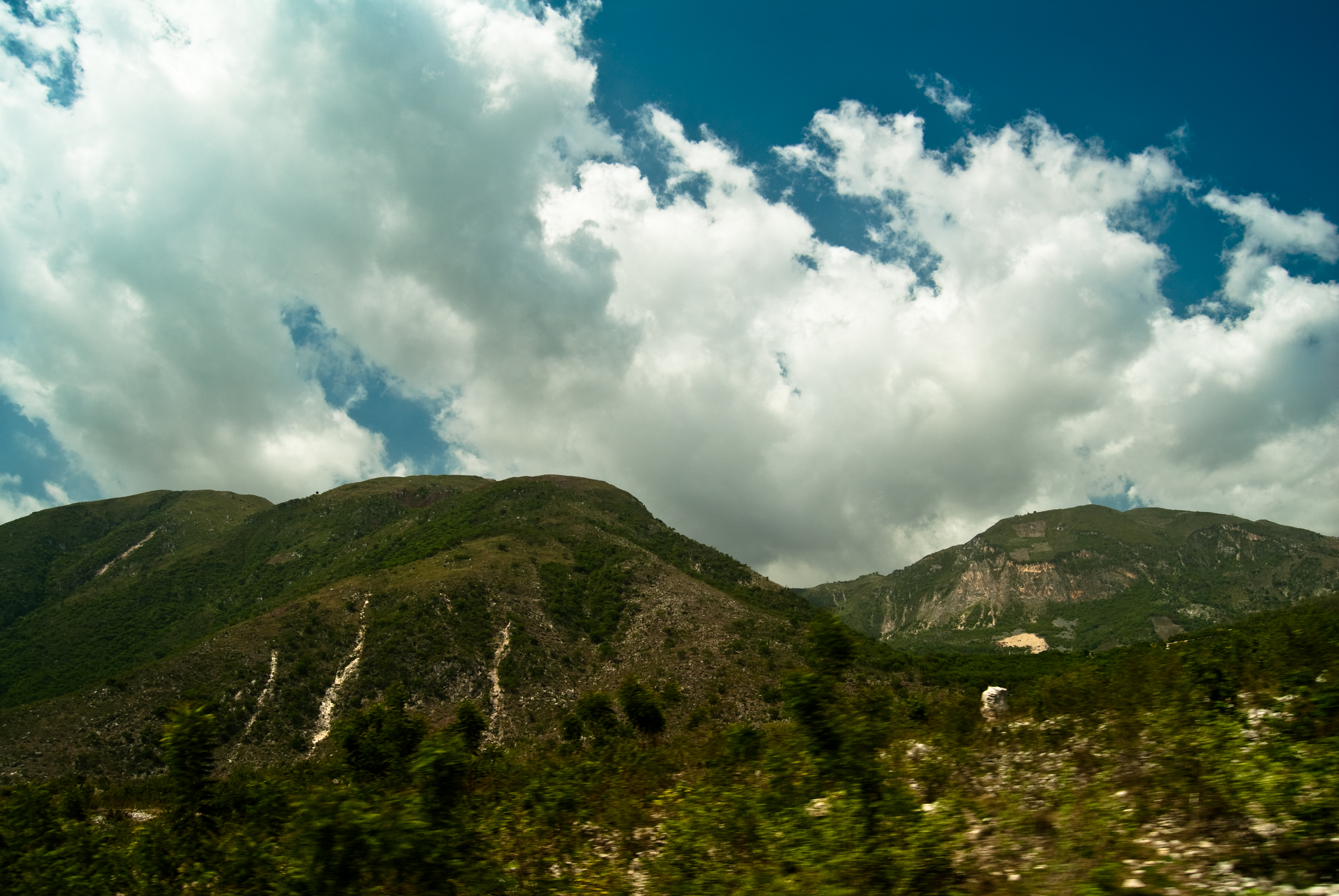
Mountains viewed from Kenscoff Haiti
The smarter one is always the boss.

Port au Prince, Negre Marron Memorial

2015 07 12 National Museum

View from Rue Corail, Vivy Mitchell, Port-Au-Prince Metro, Ouest Department, Haiti 1

Haiti 3 Years On: Replanting

Petionville Golf Course Camp (Delmas 48) - before and after

View of Belvil, from Rue Fine Fleur, Vivy Mitchell, Port-Au-Prince Metro, Ouest Department, Haiti 2

View of Belvil, from Rue Fine Fleur, Vivy Mitchell, Port-Au-Prince Metro, Ouest Department, Haiti 1

hotel oloffson- john barrymore suite- view from the bed!

Cathedral of Our Lady of the Assumption Ruins

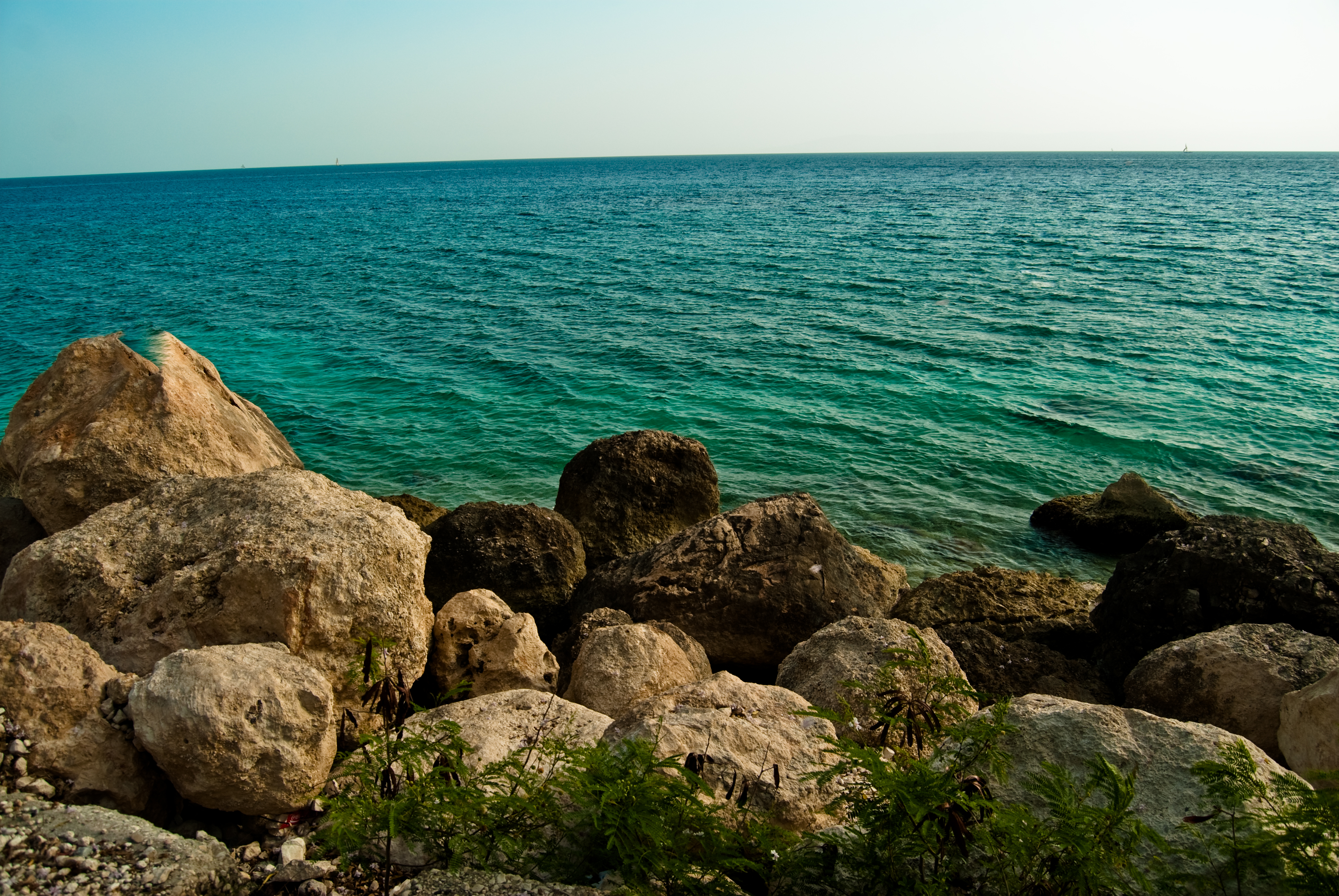
view of the caribbean from haiti 10
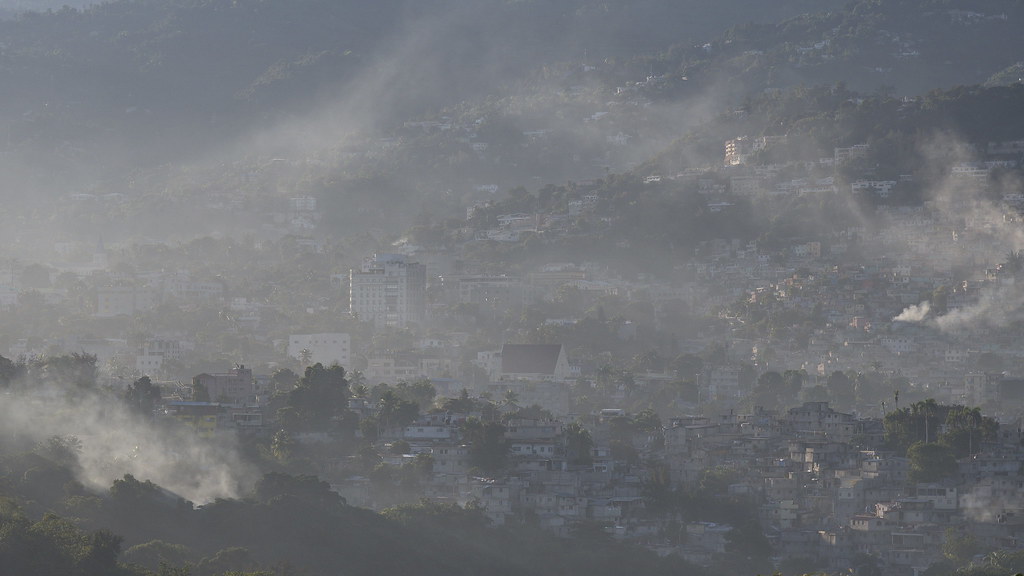
Port Au Prince view

Out of the Rubble - Film Poster

view from hotel delmas 33

view of the caribbean from haiti 9
view of the caribbean from haiti 8

view of the caribbean from haiti 4

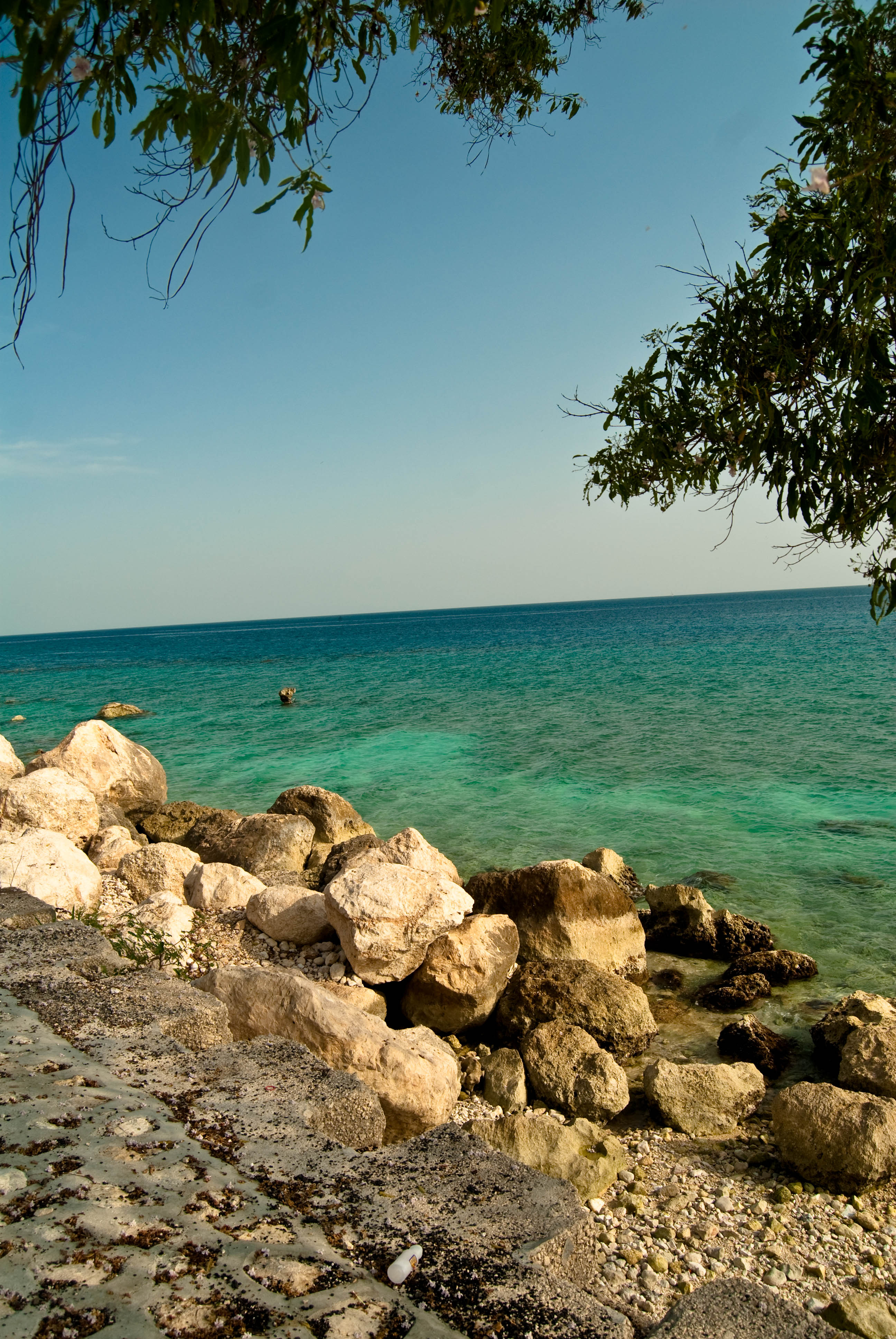
view of the caribbean from haiti 1
view of the caribbean from haiti 2

A view of Aviation camp - a camp rapidly turning into a new slum.

Jalousie, Ayiti
Byen bonè nan maten

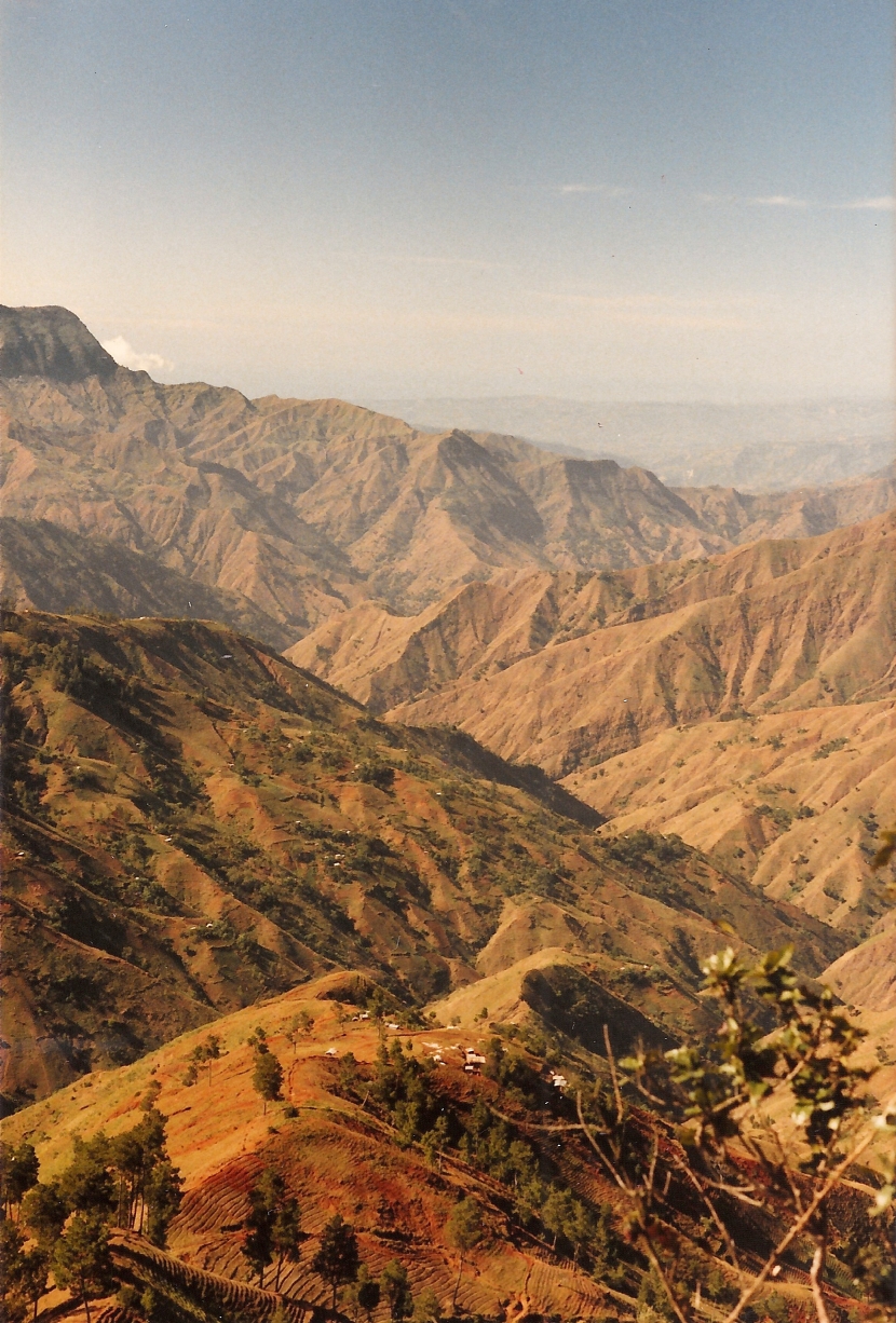
Furcy, Haiti

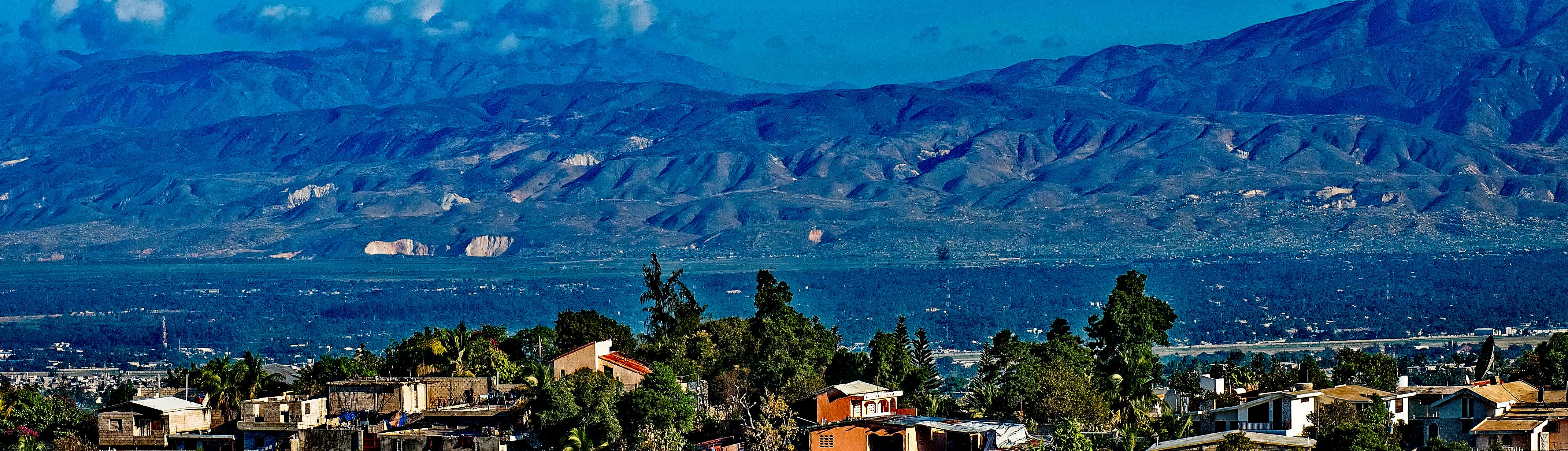
Port-au-Prince Haiti

Haiti...who knew? I say this to myself regularly on this visit. After a cool evening with our own homemade Haitian spiced hot chocolate and a little fire to warm our room, we set off into the hills on a morning hike, through villages, among cowboys, and p

Haiti 3 Years On: Building houses
beauty of the shore (day 154 of 365)

2013-05-25 14.32.03

Trou Caiman

beaches of haiti 1

mountains of montrouis 6

PaP settlements

lf_100608_p1030965-pan2
mountains of montrouis 3

To Be Myself Completely

Tent city, Juvenat
Topographic Map of Furcy, Haiti
Find elevation by address:

Places near Furcy, Haiti:
The Lodge
Kenscoff
Ranch Le Montcel
Les Fontaines, Laboule 12
Petion-ville
Juvenat
Karibe Hotel
Hotel Prince
Petionville Tent City
Rue Rochdale
Carrefour
Port-au-prince International Airport
Port-au-prince
Ouest
Gressier
Tom Gateau
Arcahaie
Haiti
Centre
Verrettes
Recent Searches:
- Elevation of Corso Fratelli Cairoli, 35, Macerata MC, Italy
- Elevation of Tallevast Rd, Sarasota, FL, USA
- Elevation of 4th St E, Sonoma, CA, USA
- Elevation of Black Hollow Rd, Pennsdale, PA, USA
- Elevation of Oakland Ave, Williamsport, PA, USA
- Elevation of Pedrógão Grande, Portugal
- Elevation of Klee Dr, Martinsburg, WV, USA
- Elevation of Via Roma, Pieranica CR, Italy
- Elevation of Tavkvetili Mountain, Georgia
- Elevation of Hartfords Bluff Cir, Mt Pleasant, SC, USA