Elevation of Fucheng District, Mianyang, Sichuan, China
Location: China > Sichuan > Mianyang >
Longitude: 104.756944
Latitude: 31.455101
Elevation: 461m / 1512feet
Barometric Pressure: 96KPa
Elevation Map:
Satellite Map:
Related Photos:
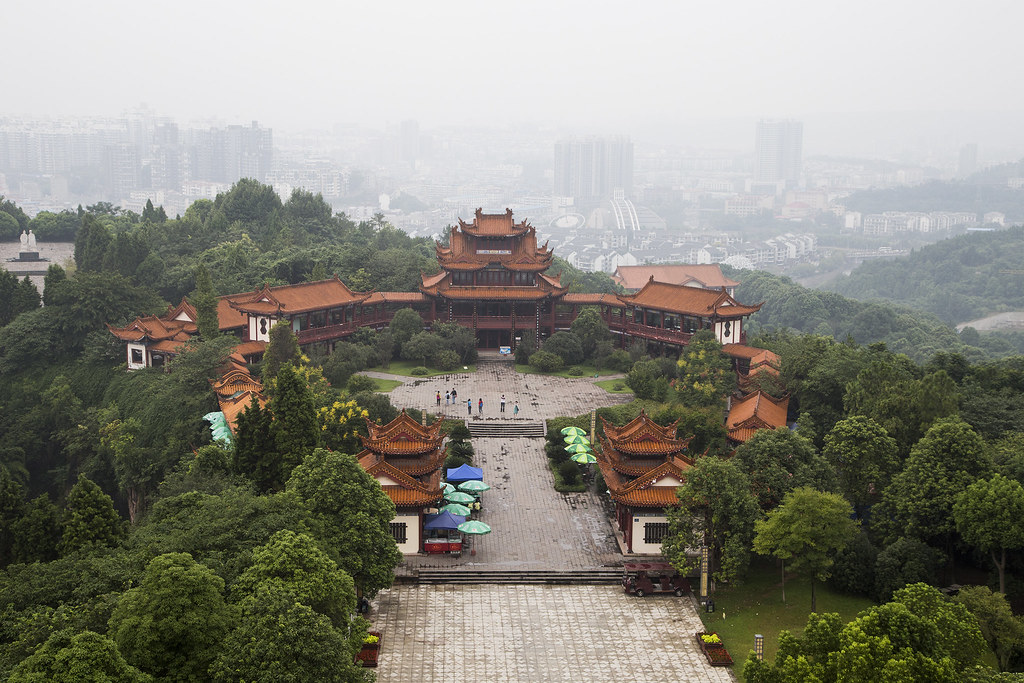
IMG_3169_Mianyang, view from Fule Tower

2017-10-23 05.10.08 1

2018-06-16 07.33.40 1-02

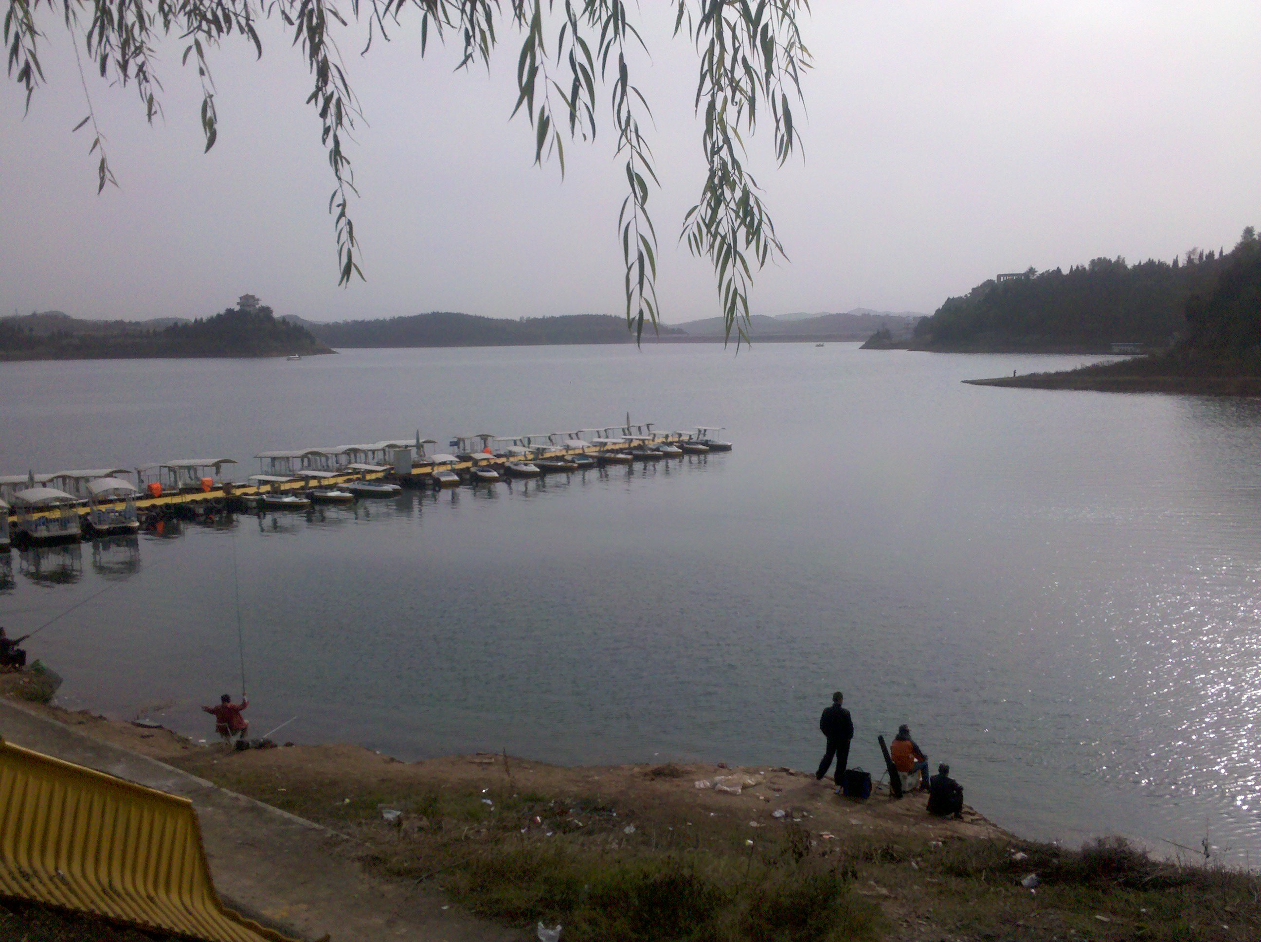
Kites at the River

夏

2010-11-21_11-21-00_510

2010-11-21_14-25-47_64
2010-11-21_14-56-34_32

2010-11-21_14-59-17_918

Holy Water Temple-4144

绵阳机场日落

绵阳机场日落

绵阳机场日落

绵阳机场日落

绵阳机场日落

绵阳机场日落

绵阳机场日落

绵阳机场日落

绵阳机场日落

送爷爷的收音机,PAL BT

街拍

街拍

街拍

辛苦一晚上

LaCie Porsche Design Mobile Drive

Master 2S

Master 2S

2018-10-02 09.15.38 1

2018-10-02 07.48.25 1

2018-08-09 12.00.39 1
Topographic Map of Fucheng District, Mianyang, Sichuan, China
Find elevation by address:

Places near Fucheng District, Mianyang, Sichuan, China:
Recent Searches:
- Elevation of Corso Fratelli Cairoli, 35, Macerata MC, Italy
- Elevation of Tallevast Rd, Sarasota, FL, USA
- Elevation of 4th St E, Sonoma, CA, USA
- Elevation of Black Hollow Rd, Pennsdale, PA, USA
- Elevation of Oakland Ave, Williamsport, PA, USA
- Elevation of Pedrógão Grande, Portugal
- Elevation of Klee Dr, Martinsburg, WV, USA
- Elevation of Via Roma, Pieranica CR, Italy
- Elevation of Tavkvetili Mountain, Georgia
- Elevation of Hartfords Bluff Cir, Mt Pleasant, SC, USA