Elevation of Ft Denaud Rd, Fort Denaud, FL, USA
Location: United States > Florida > Hendry County > Fort Denaud >
Longitude: -81.510731
Latitude: 26.741382
Elevation: 4m / 13feet
Barometric Pressure: 0KPa
Related Photos:

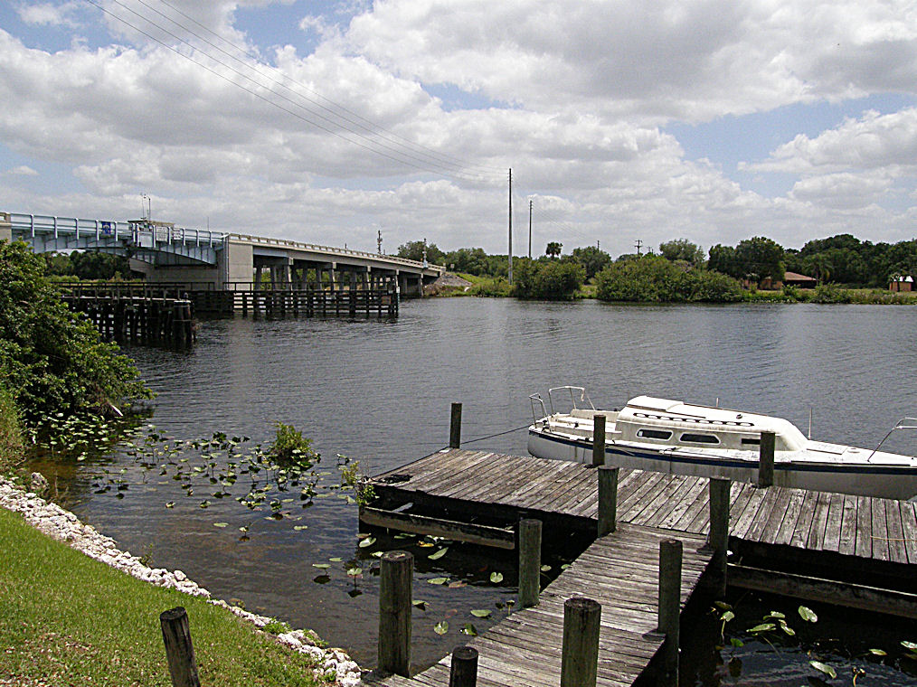
The Caloosahatchee from the Alva Bridge
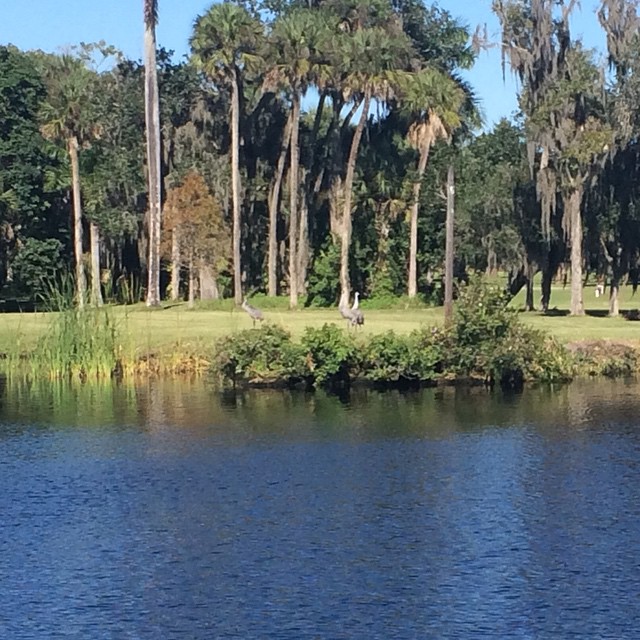
Sandhill Cranes on an oxbow.
Oh , she saw me!

Caloosahatchee Regional Park
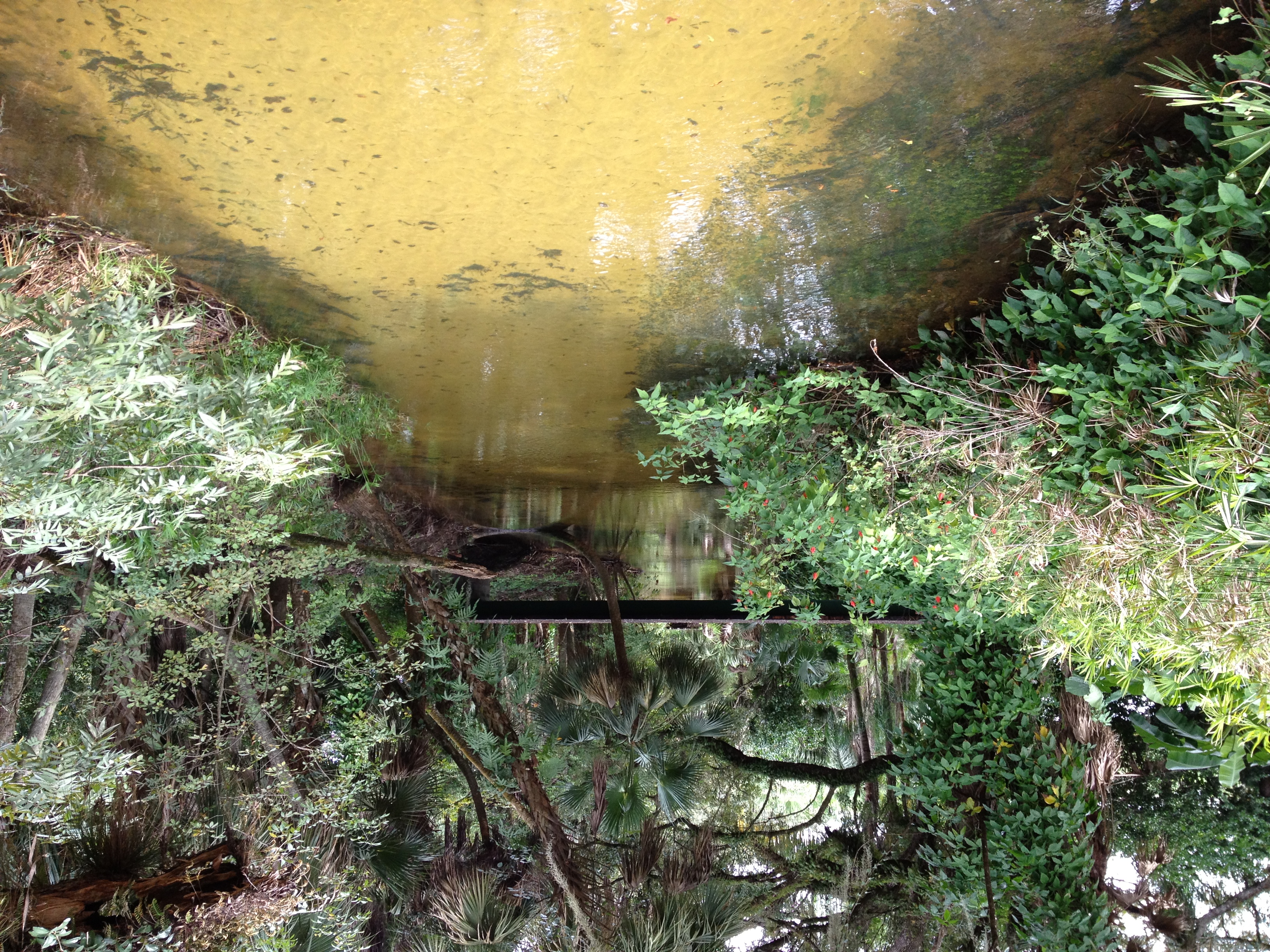
Bedman's creek in my backyard
Caloosahatchee Regional Park
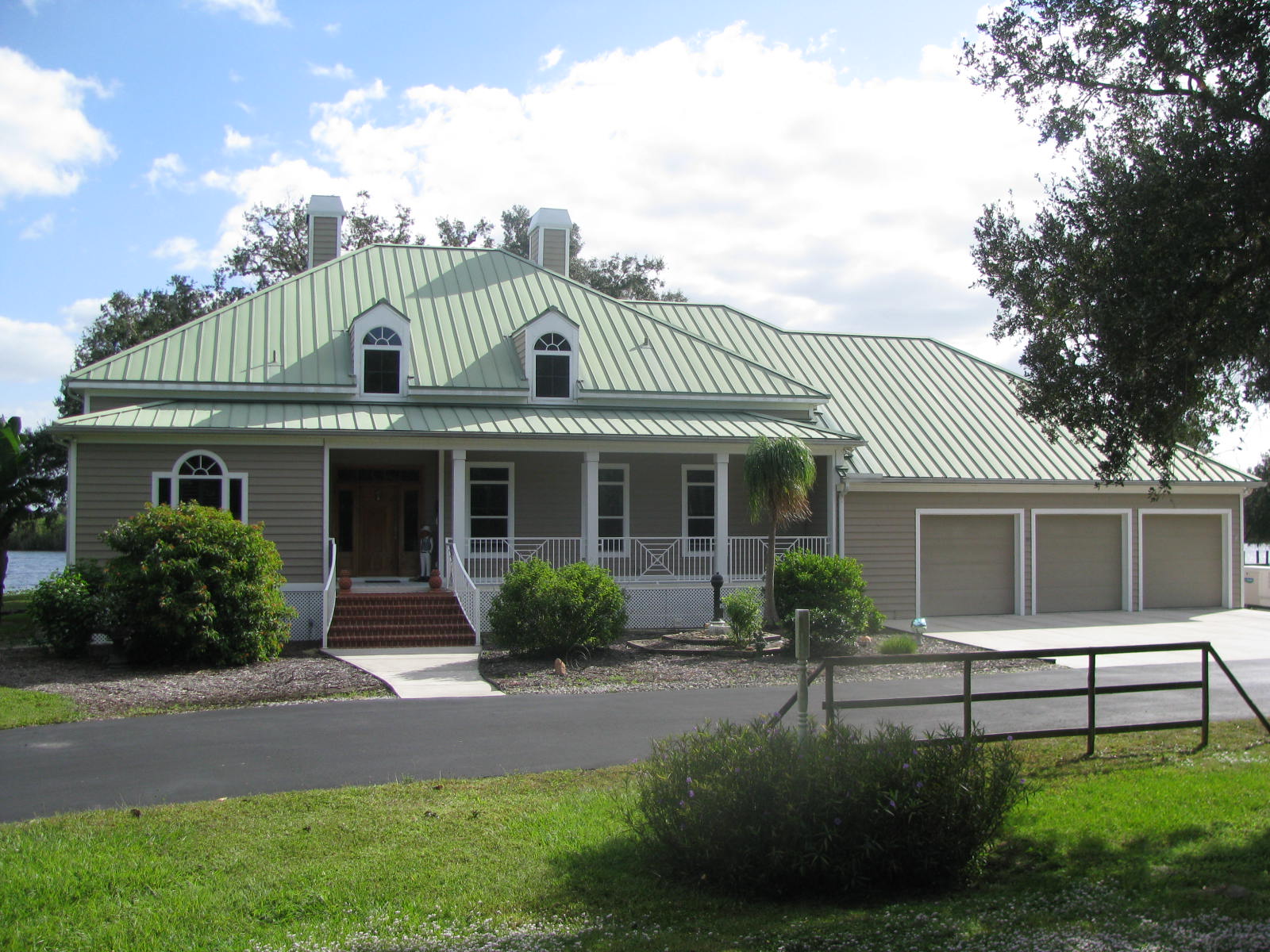
Florida,Alva, Riverfront Home

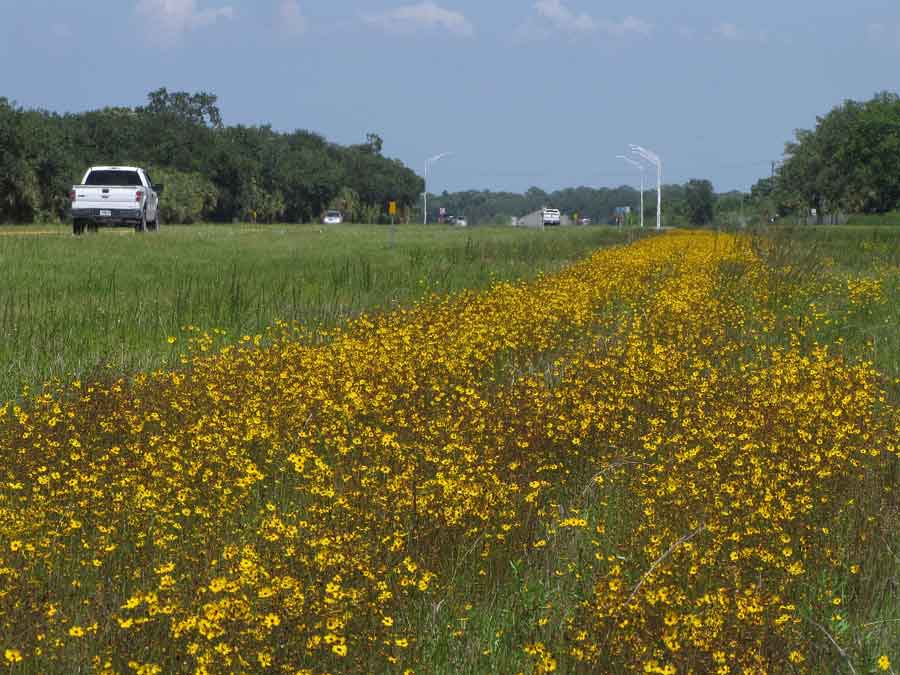
Clouds and wildflowers

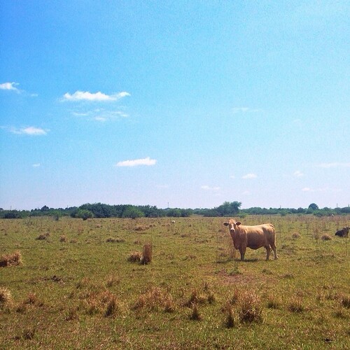
Another beautiful day
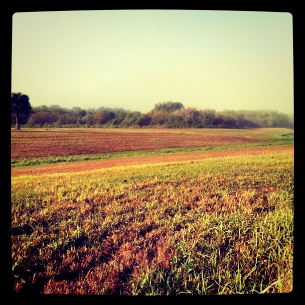
Morning in the greenbelt

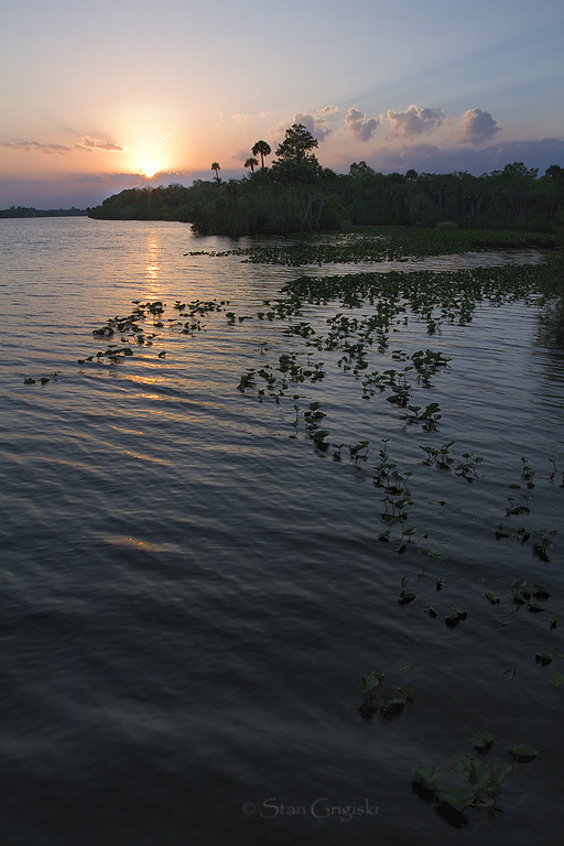
Caloosahatchee River

Alva_Cemetery-6
Coreopsis leavenworthii

An oak in all it's glory

Wildflowers9-2

Caloosahatchee River
Alva, FL - Hypotenuse Trail
Topographic Map of Ft Denaud Rd, Fort Denaud, FL, USA
Find elevation by address:

Places near Ft Denaud Rd, Fort Denaud, FL, USA:
3600 Fort Denaud Rd
2525 Phillips Rd
2525 Phillips Rd
2525 Phillips Rd
3020 North River Rd
3020 North River Rd
3020 North River Rd
3020 North River Rd
3020 North River Rd
615 Kirby Thompson Rd
2530 Fort Denaud Rd
2070 Fort Denaud Rd
2074 Fort Denaud Rd
Fort Denaud
2512 Caloosa Shores Dr
Fort Denaud, FL, USA
391 Caloosa Estates Dr
1951 W Hickpochee Ave
Willow Lane
900 Aqua Isles Blvd
Recent Searches:
- Elevation map of Greenland, Greenland
- Elevation of Sullivan Hill, New York, New York, 10002, USA
- Elevation of Morehead Road, Withrow Downs, Charlotte, Mecklenburg County, North Carolina, 28262, USA
- Elevation of 2800, Morehead Road, Withrow Downs, Charlotte, Mecklenburg County, North Carolina, 28262, USA
- Elevation of Yangbi Yi Autonomous County, Yunnan, China
- Elevation of Pingpo, Yangbi Yi Autonomous County, Yunnan, China
- Elevation of Mount Malong, Pingpo, Yangbi Yi Autonomous County, Yunnan, China
- Elevation map of Yongping County, Yunnan, China
- Elevation of North 8th Street, Palatka, Putnam County, Florida, 32177, USA
- Elevation of 107, Big Apple Road, East Palatka, Putnam County, Florida, 32131, USA
- Elevation of Jiezi, Chongzhou City, Sichuan, China
- Elevation of Chongzhou City, Sichuan, China
- Elevation of Huaiyuan, Chongzhou City, Sichuan, China
- Elevation of Qingxia, Chengdu, Sichuan, China
- Elevation of Corso Fratelli Cairoli, 35, Macerata MC, Italy
- Elevation of Tallevast Rd, Sarasota, FL, USA
- Elevation of 4th St E, Sonoma, CA, USA
- Elevation of Black Hollow Rd, Pennsdale, PA, USA
- Elevation of Oakland Ave, Williamsport, PA, USA
- Elevation of Pedrógão Grande, Portugal