Elevation of Fruitland, WA, USA
Location: United States > Washington > Stevens County >
Longitude: -118.19887
Latitude: 48.0709969
Elevation: 559m / 1834feet
Barometric Pressure: 95KPa
Elevation Map:
Satellite Map:
Related Photos:

25 Mile Creek State Park

25 Mile Creek State Park

2014. Mountain pine beetle damage around Franklin D. Roosevelt Lake, Washington.

Lake Roosevelt III

2010-08-08 17;56;38

Barn on Larson Lane

Wilmont Creek

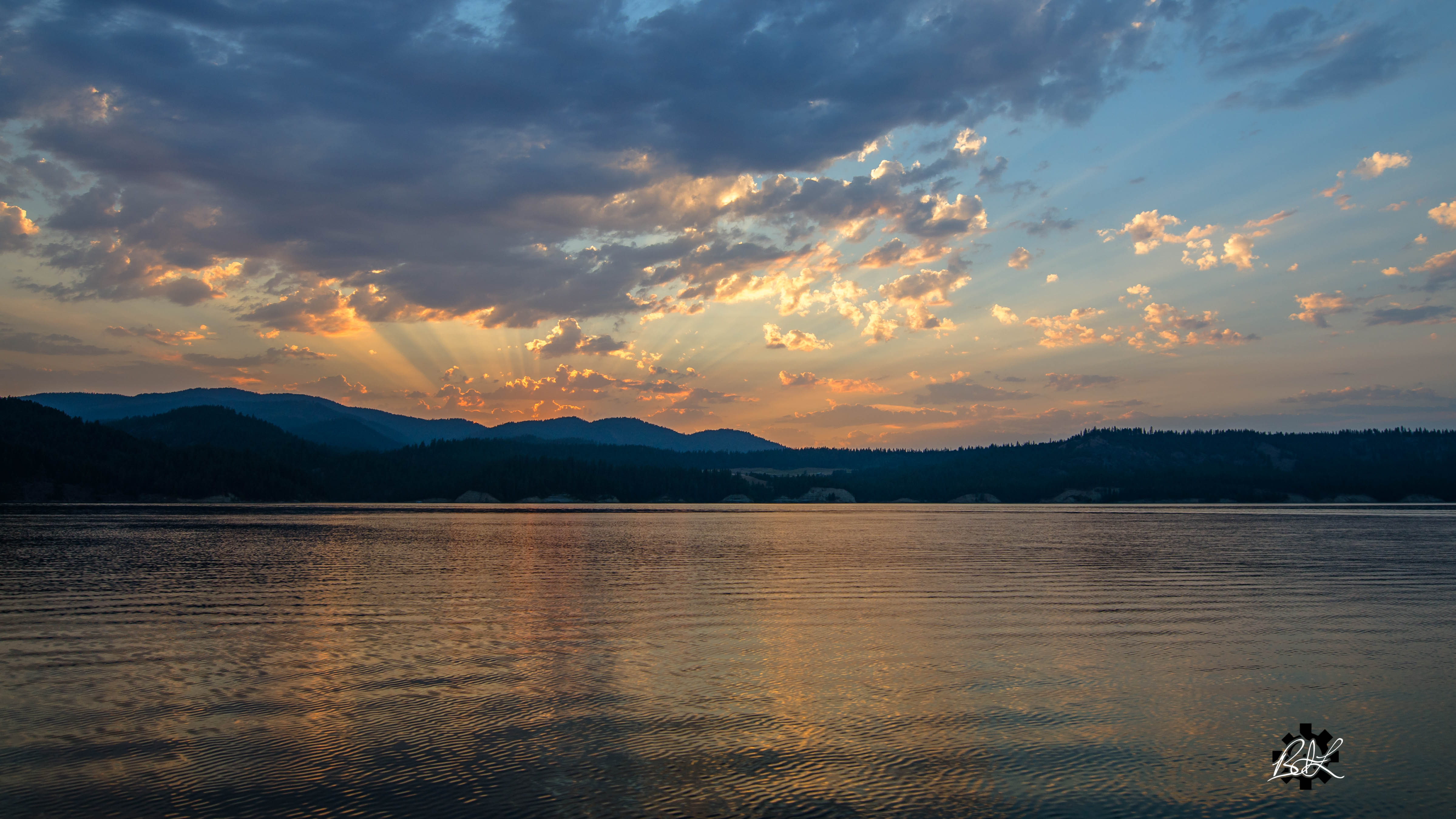
The Final Sunset
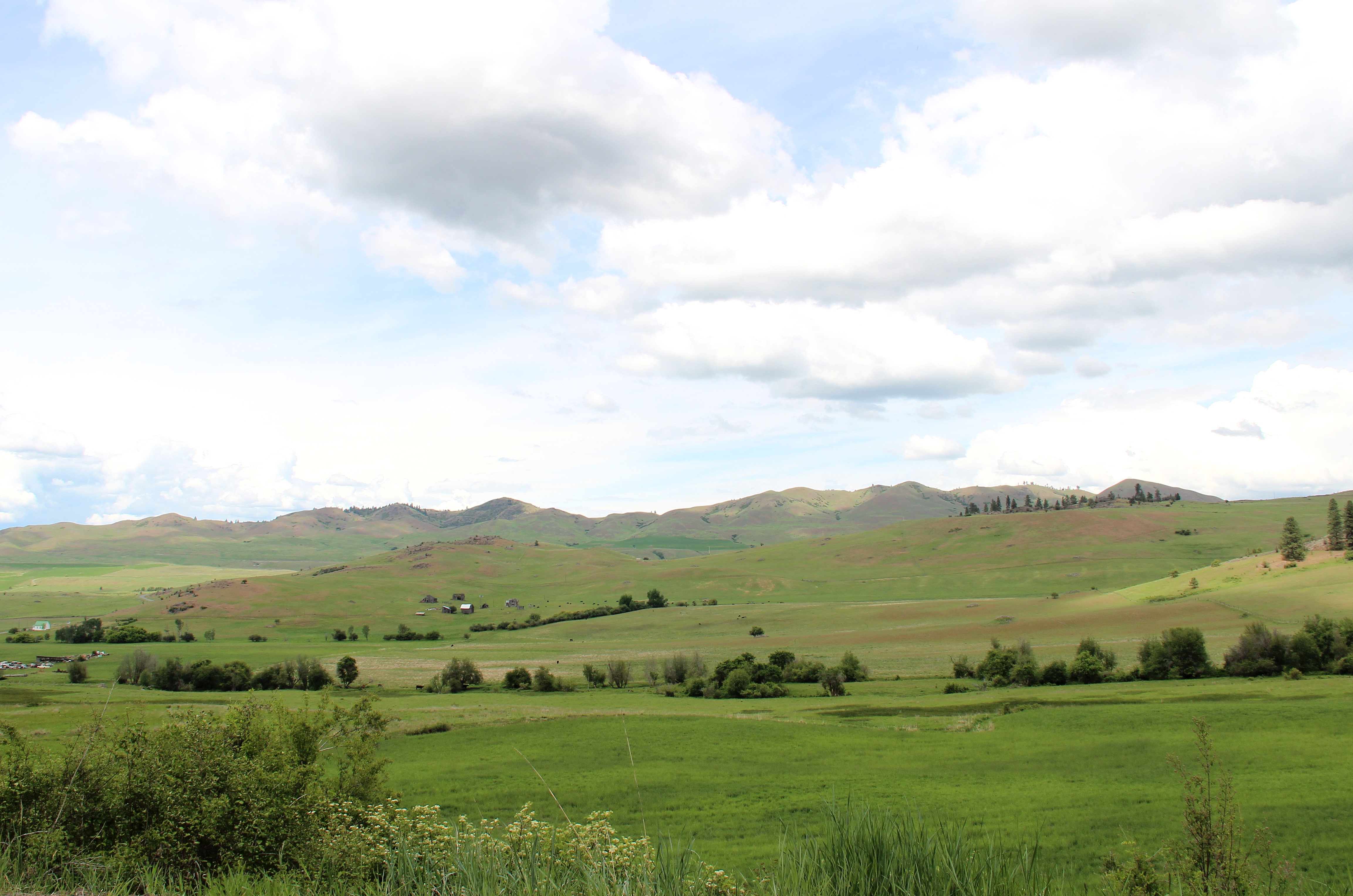
Hunters Fruitland Landscape

25 Mile Creek State Park

25 Mile Creek State Park
Sunset at Ninemile

25 Mile Creek State Park
Topographic Map of Fruitland, WA, USA
Find elevation by address:

Places near Fruitland, WA, USA:
Hunters
6119 Enterprise Rd
6271 Miller Mountain Rd
15 Stray Dog Canyon Rd
Inchelium
Deer Meadows
3304 Miles Rd
Round Lake
3151 Miles Rd
Lincoln
2007 Tate Rd
Rice
Rainy Ridge Road
Martin Canyon Road North
Haag Cove Campground
Ferry County
Graves Mountain
Sherman Pass
Jacknife Cutoff Road
47 Merritt Ln
Recent Searches:
- Elevation of Corso Fratelli Cairoli, 35, Macerata MC, Italy
- Elevation of Tallevast Rd, Sarasota, FL, USA
- Elevation of 4th St E, Sonoma, CA, USA
- Elevation of Black Hollow Rd, Pennsdale, PA, USA
- Elevation of Oakland Ave, Williamsport, PA, USA
- Elevation of Pedrógão Grande, Portugal
- Elevation of Klee Dr, Martinsburg, WV, USA
- Elevation of Via Roma, Pieranica CR, Italy
- Elevation of Tavkvetili Mountain, Georgia
- Elevation of Hartfords Bluff Cir, Mt Pleasant, SC, USA