Elevation of Front Street, Front St, Georgetown, SC, USA
Location: United States > South Carolina > Georgetown County > Georgetown >
Longitude: -79.288747
Latitude: 33.3702221
Elevation: 2m / 7feet
Barometric Pressure: 101KPa
Elevation Map:
Satellite Map:
Related Photos:

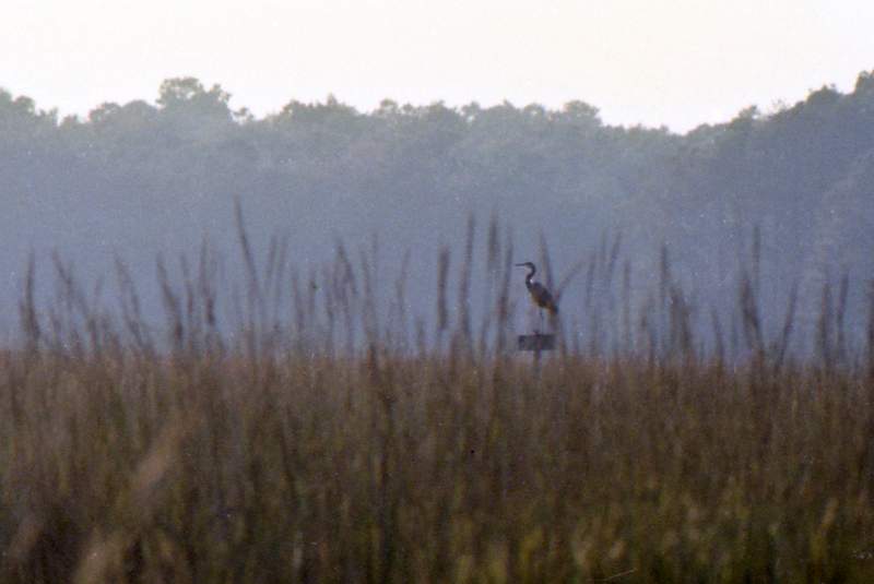
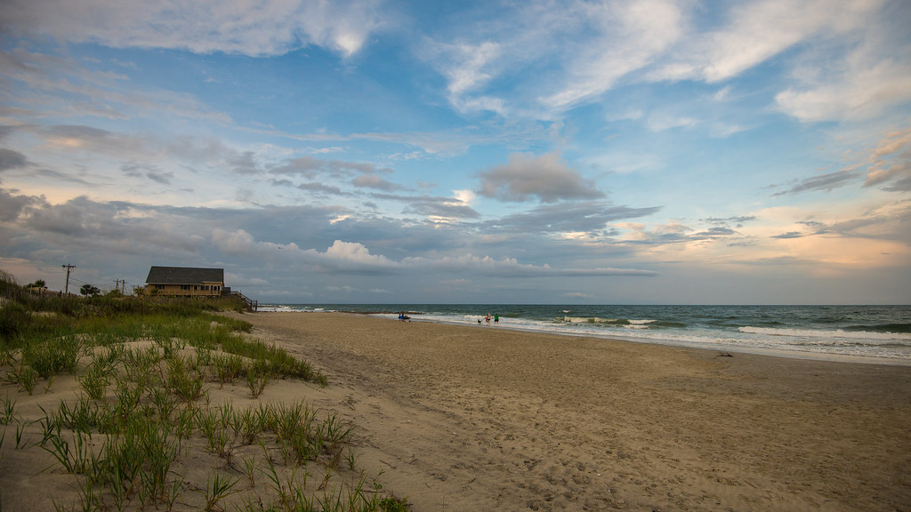
morning marsh

"Infrared capture" #ir #infrared #infraredphotography
2014-09-02 13.40.59
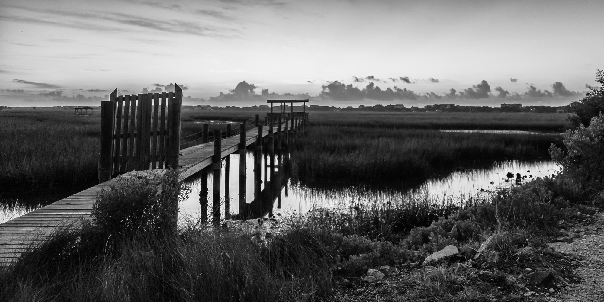
marsh bw

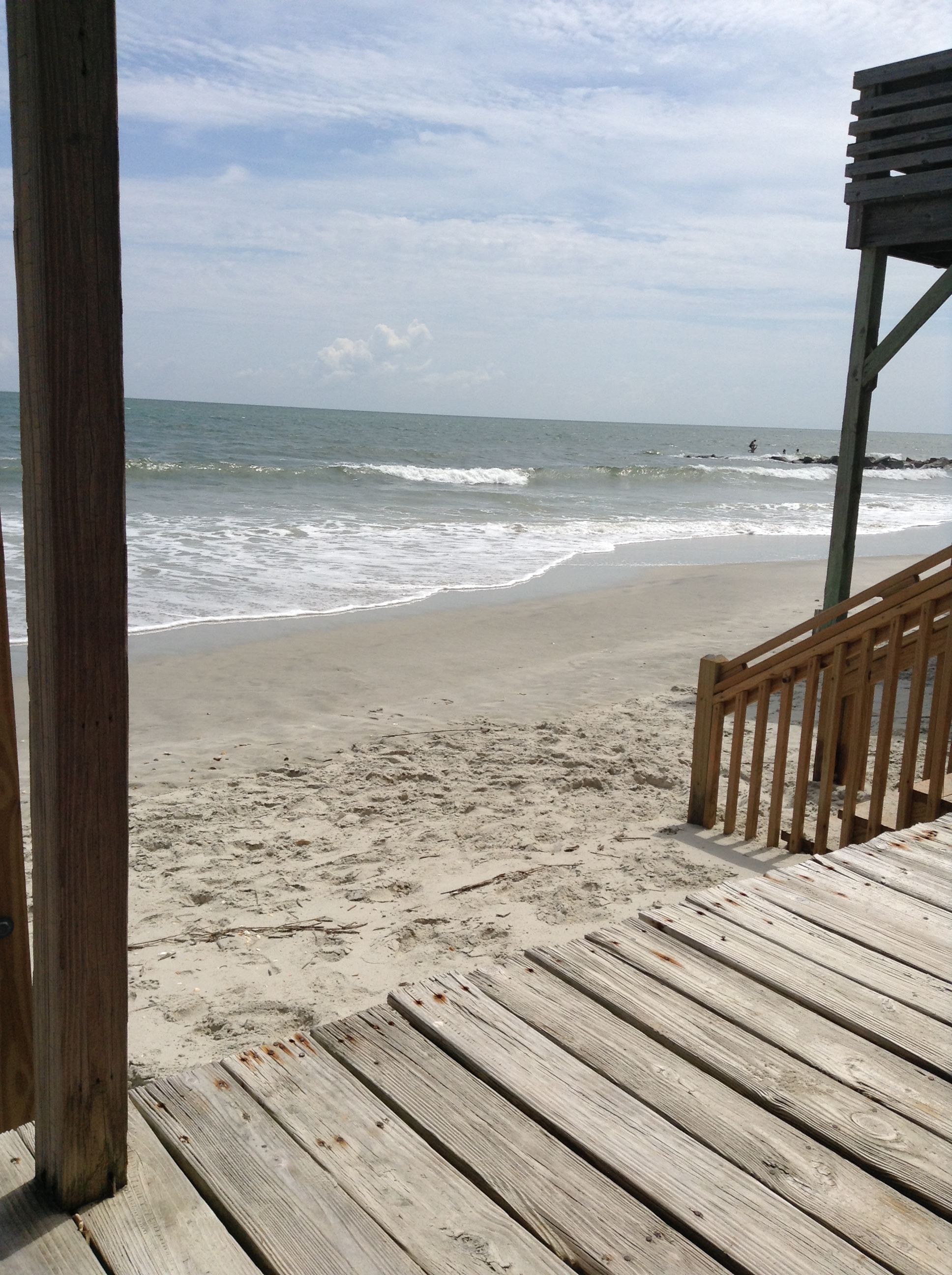
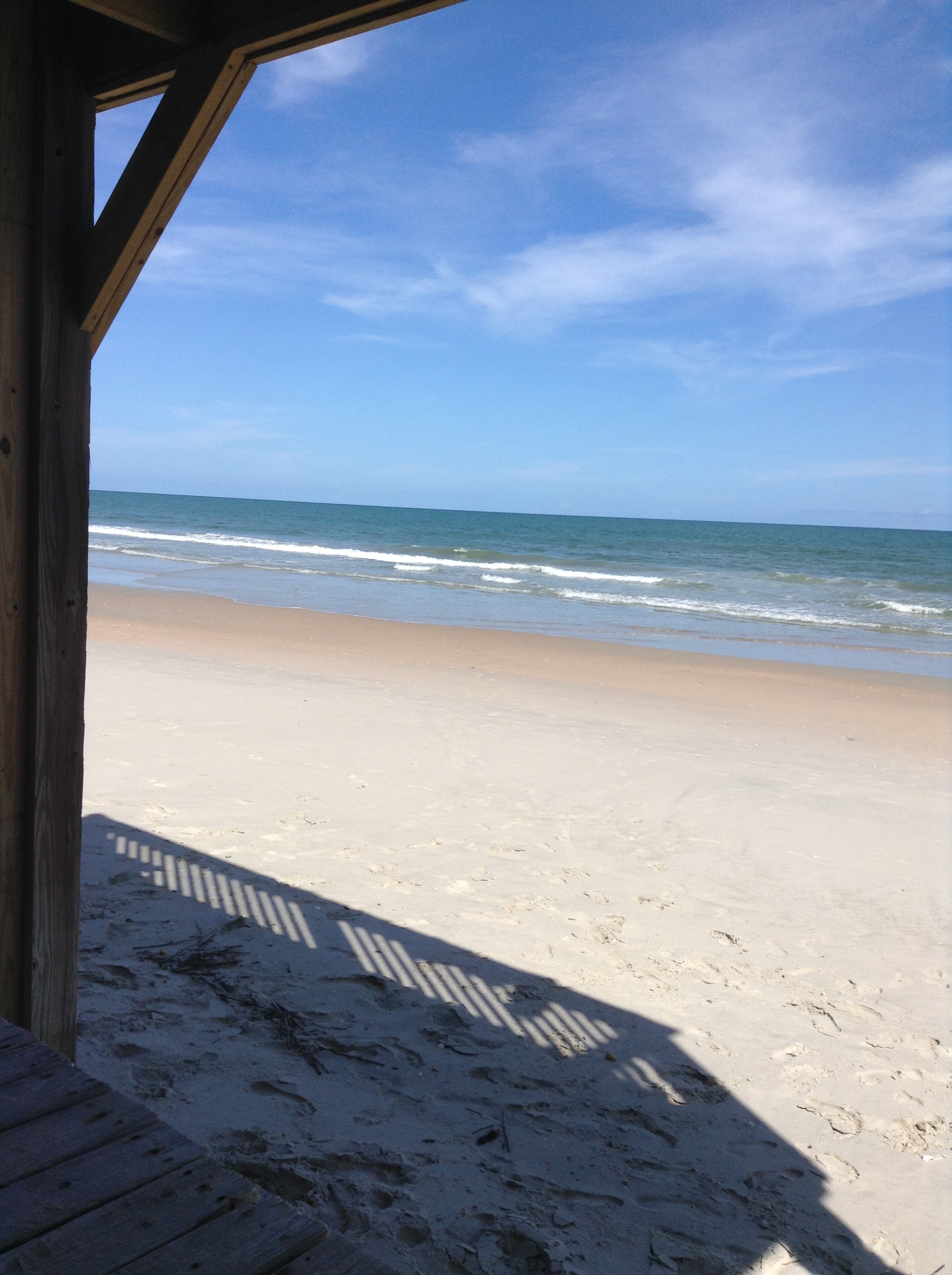
thru the rails

Pawleys Sunrise
Pawleys Island Marsh, ca. 1980

Dawn at the Jetty - 2

2014-09-05 17.02.05
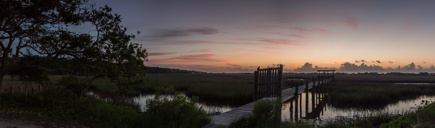
marsh pano
2014-08-31 15.37.36

Hissing Goodby
2007 Myrtle Beach 033
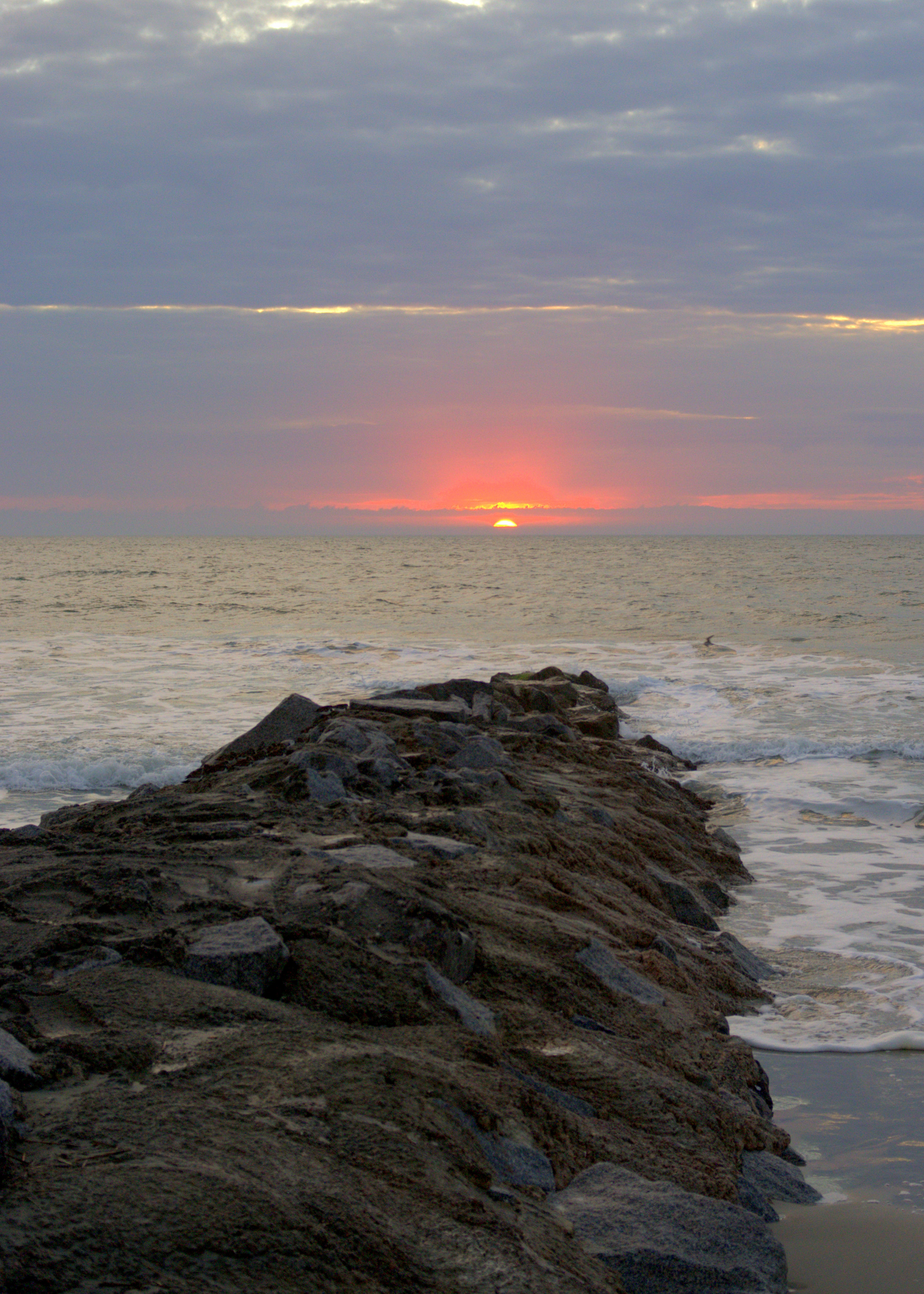
Dawn at the Jetty - 1

Sowing is not as Difficult as Reaping
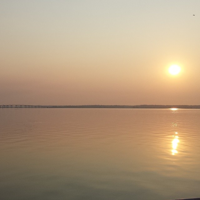
Sunrise on the Waccamaw.
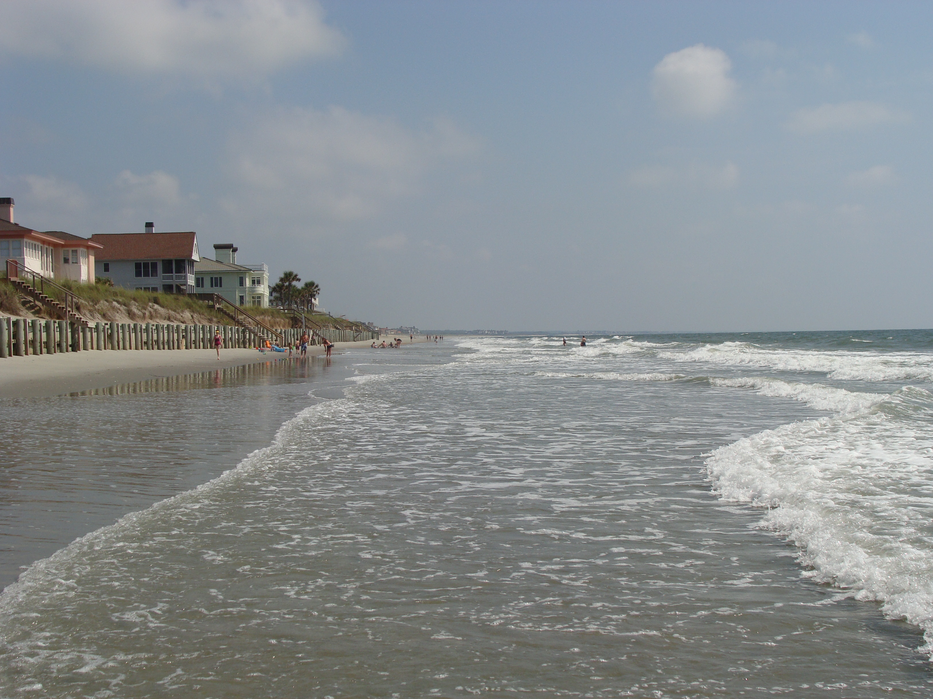
Pawleys Island South

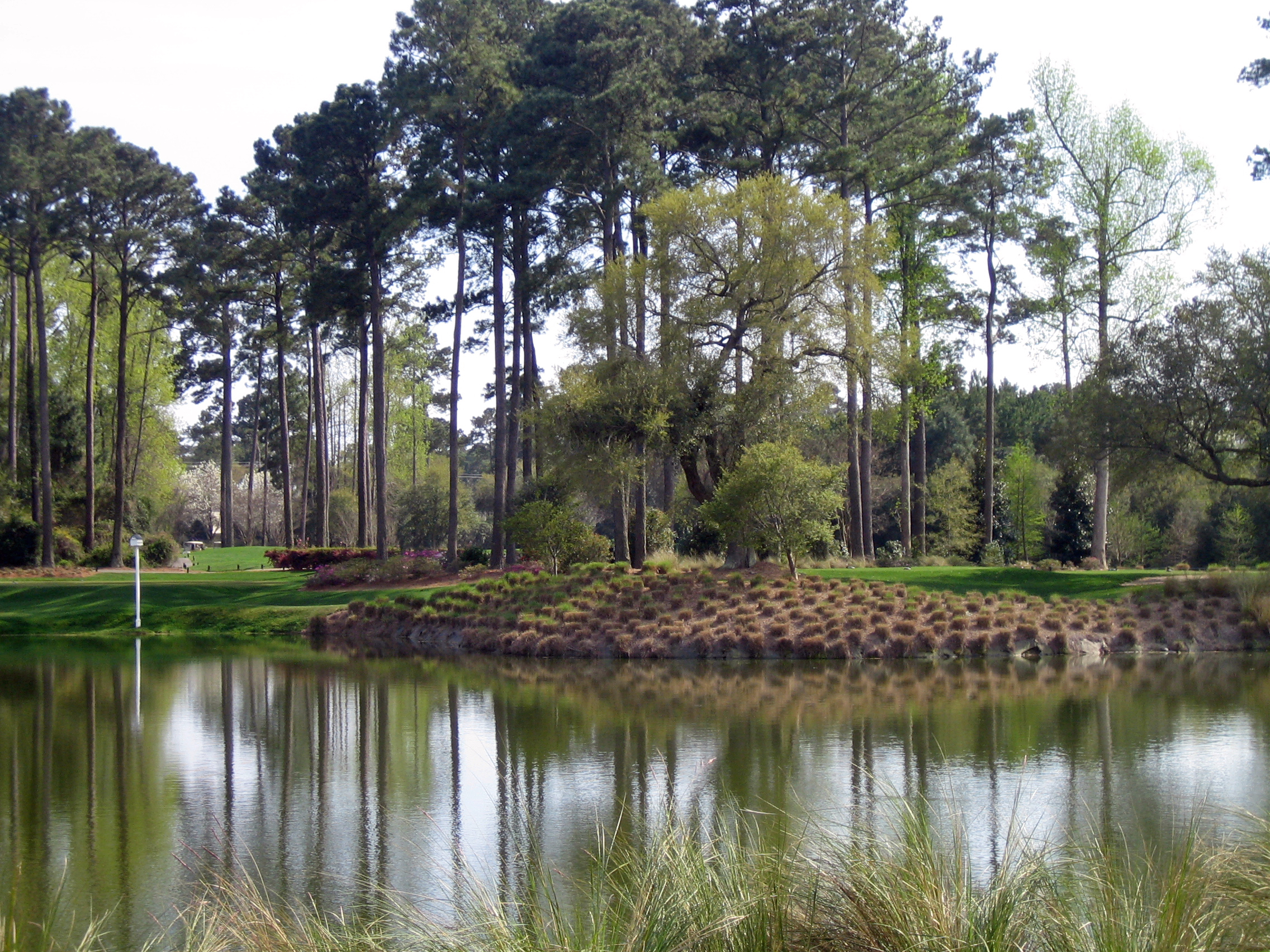
Pawley's Plantation
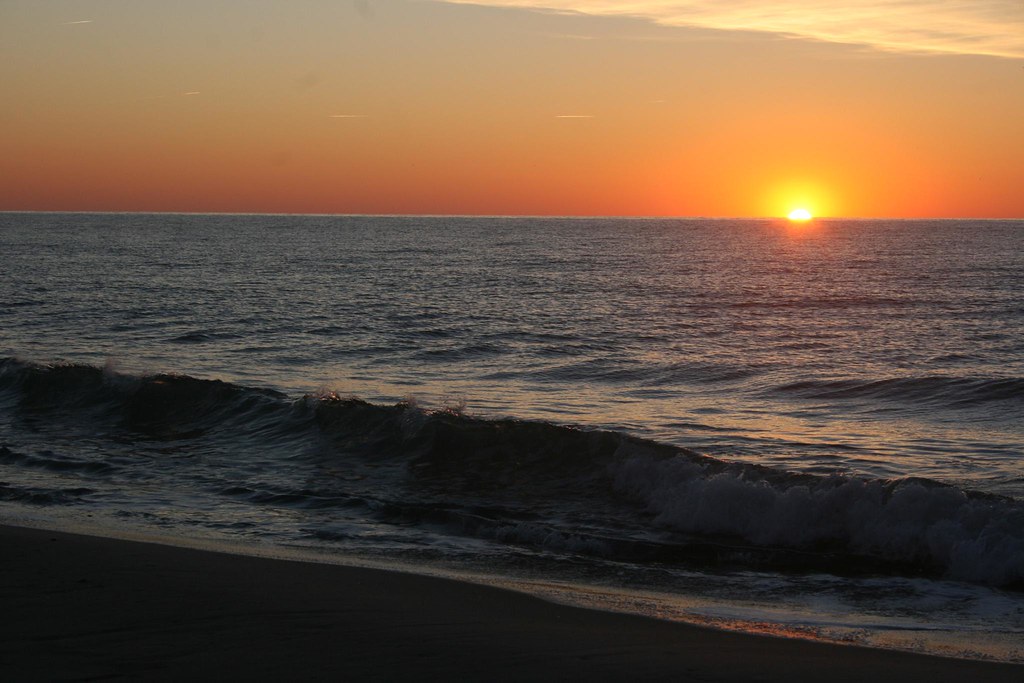
sunrise on the Atlantic
beach2009 040

sunrise on the Atlantic
Topographic Map of Front Street, Front St, Georgetown, SC, USA
Find elevation by address:

Places near Front Street, Front St, Georgetown, SC, USA:
123 Cleland St
123 Wood St
1230 Highmarket St
123 S Hazard St
800 Front St
732 Front St
724 Front St
210 Broad St
732 Prince St
539 Black River Rd
700 Front St
1173 Palmetto St
723 Highmarket St
416 Palm St
Georgetown
600 Front St
617 Highmarket St
19 Queen St
1303 Heyward St
500 Front St
Recent Searches:
- Elevation of Corso Fratelli Cairoli, 35, Macerata MC, Italy
- Elevation of Tallevast Rd, Sarasota, FL, USA
- Elevation of 4th St E, Sonoma, CA, USA
- Elevation of Black Hollow Rd, Pennsdale, PA, USA
- Elevation of Oakland Ave, Williamsport, PA, USA
- Elevation of Pedrógão Grande, Portugal
- Elevation of Klee Dr, Martinsburg, WV, USA
- Elevation of Via Roma, Pieranica CR, Italy
- Elevation of Tavkvetili Mountain, Georgia
- Elevation of Hartfords Bluff Cir, Mt Pleasant, SC, USA