Elevation of French Pond Rd, Woodsville, NH, USA
Location: United States > New Hampshire > Grafton County > Haverhill >
Longitude: -71.954943
Latitude: 44.1192751
Elevation: 245m / 804feet
Barometric Pressure: 98KPa
Elevation Map:
Satellite Map:
Related Photos:

Cabin on Bronson Hill

An Old New England Farm in Vermont - 1985

1772 Headstone - Oxbow Cemetery, Vermont, 1985

Mount Moosilauke
Mt. Moosilauke

Broken Bridge

Bath Covered Bridge Entrance View, Bath, New Hampshire
Ammonoosuc River at Franconia, New Hampshire, USA

Sugarloaf Mountain through the mist
Bath, NH

Cow Pasture and Mount Moosilauke
View From Mount Moosilauke

View From Black Mountain

Another View of the Church

View From Black Mountain

From the Green

180 degree view from the top of Mount Moosilauke NH

View to the North from the Summit of Mt. Moosilauke (panorama)
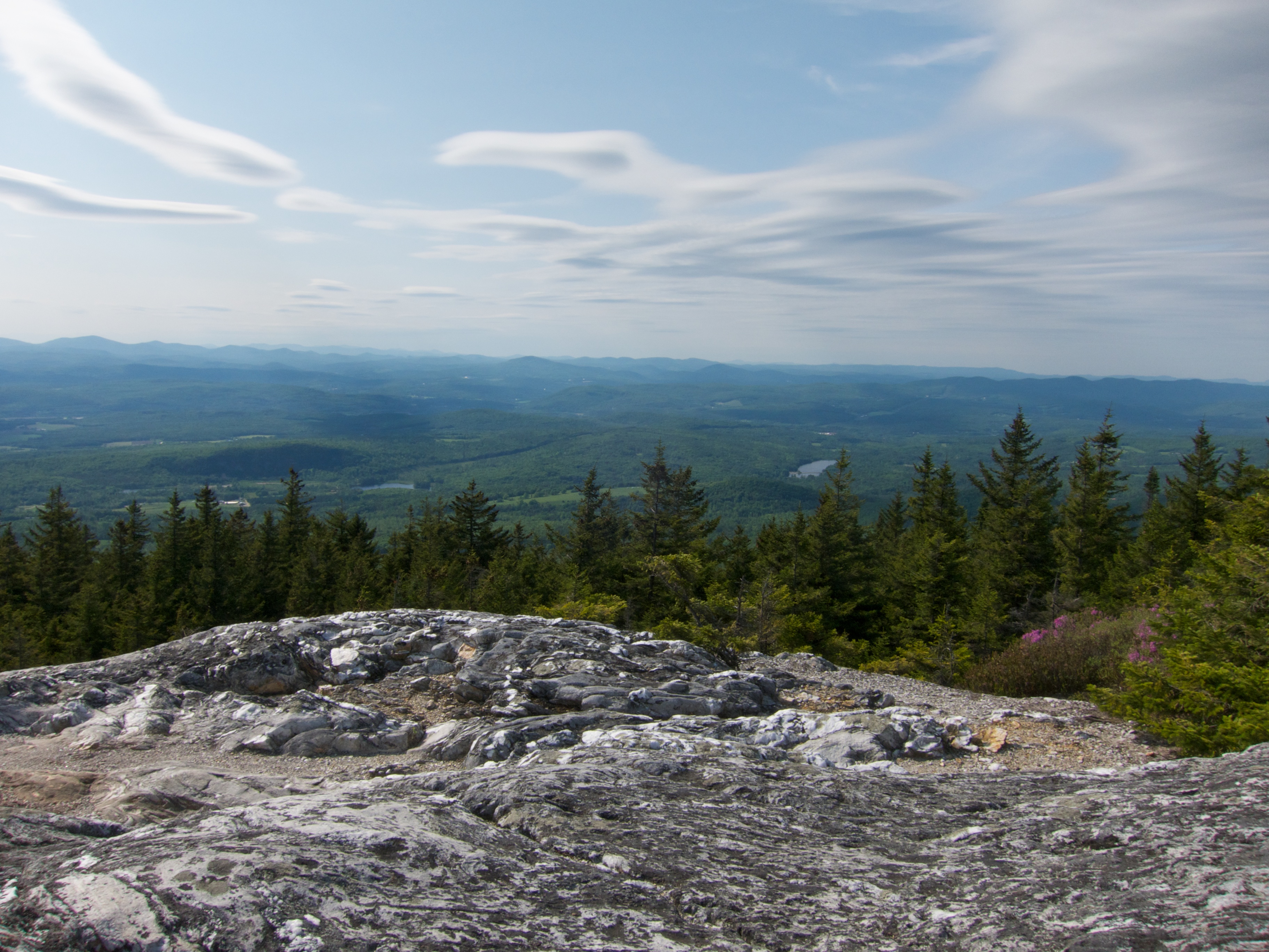
View From Black Mountain

View From Black Mountain

View from the top of a mountain

North Woodstock - The White Moutains

The Road To Moosilauke

sweet as sugar

Ammonoosuc River

Kinsman Notch

On the side of the road-Flickr Friday

Beaver Brook Pond

Autumn at Pearl Lake

Whitemount Farm, New Hampshire

Autumn in New Hampshire

New Hampshire Barns

Haverhill-Bath Covered Bridge

Beaver Pond

First Light

Horse With No Name

HVAR5014.jpg

Beaver Brook Pond
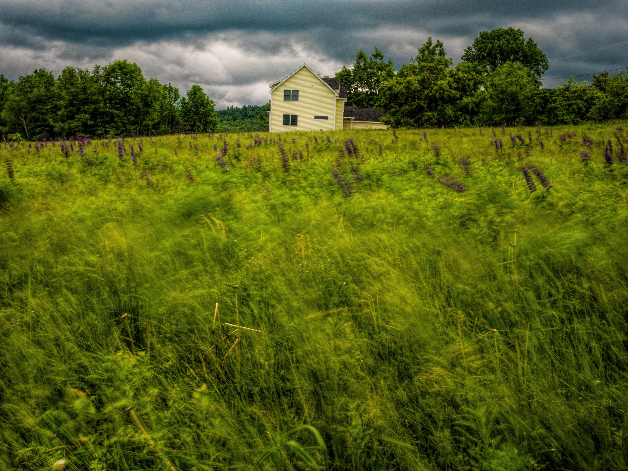
Lupines/Wind, Sugar Hill, NH

Kinsman Notch

Beaver Pond, Kancamagus Highway
Topographic Map of French Pond Rd, Woodsville, NH, USA
Find elevation by address:

Places near French Pond Rd, Woodsville, NH, USA:
1817 French Pond Rd
White Mountain Dr, Woodsville, NH, USA
Straford Drive
253 Hill Rd
24 Lisbon Rd
Bath
Benton Rd, North Haverhill, NH, USA
Benton
285 Lisbon Rd
230 Pettyboro Rd
North Haverhill
Mill Brook Road
77 Center Hill Rd
860 Jockey Hill Rd
Landaff
Woodsville
Clough Road
486 Lang Rd
Wells River
Lisbon
Recent Searches:
- Elevation of Corso Fratelli Cairoli, 35, Macerata MC, Italy
- Elevation of Tallevast Rd, Sarasota, FL, USA
- Elevation of 4th St E, Sonoma, CA, USA
- Elevation of Black Hollow Rd, Pennsdale, PA, USA
- Elevation of Oakland Ave, Williamsport, PA, USA
- Elevation of Pedrógão Grande, Portugal
- Elevation of Klee Dr, Martinsburg, WV, USA
- Elevation of Via Roma, Pieranica CR, Italy
- Elevation of Tavkvetili Mountain, Georgia
- Elevation of Hartfords Bluff Cir, Mt Pleasant, SC, USA