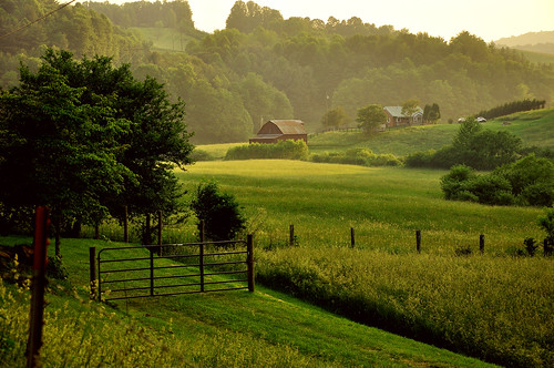
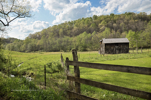
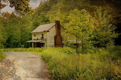
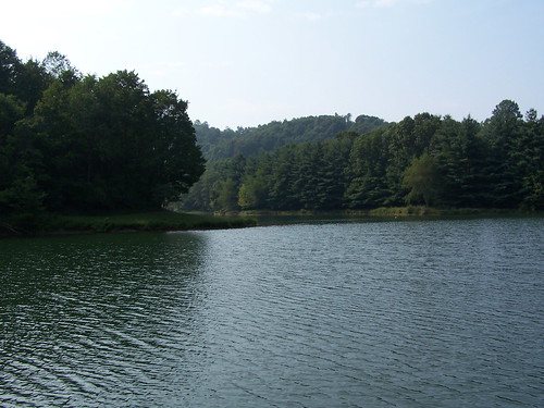
Elevation of French Creek, WV, USA
Location: United States > West Virginia > Upshur County > Third >
Longitude: -80.297305
Latitude: 38.8856557
Elevation: 443m / 1453feet
Barometric Pressure: 96KPa
Related Photos:
Topographic Map of French Creek, WV, USA
Find elevation by address:

Places in French Creek, WV, USA:
Alexander Rd, French Creek, WV, USA
13 Calico Rd, French Creek, WV, USA
Gould Rd, French Creek, WV, USA
Alexander, WV, USA
Grand Camp Road
Places near French Creek, WV, USA:
Third
West Virginia State Wildlife Center
Abbott Road
3156 Waterloo Rd
176 Old Chimney Rd
Grand Camp Road
Gould Rd, French Creek, WV, USA
4127 Abbott Rd
332 Apple Gate Ln
Alexander, WV, USA
1303 Centerville Rd
Upshur County
Bull Run
Bull Run Rd, Horner, WV, USA
434 Stony Run Rd
2557 Brushy Fork Rd
Brushy Fork Rd, Buckhannon, WV, USA
Buckhannon, WV, USA
First
First
Recent Searches:
- Elevation of Corso Fratelli Cairoli, 35, Macerata MC, Italy
- Elevation of Tallevast Rd, Sarasota, FL, USA
- Elevation of 4th St E, Sonoma, CA, USA
- Elevation of Black Hollow Rd, Pennsdale, PA, USA
- Elevation of Oakland Ave, Williamsport, PA, USA
- Elevation of Pedrógão Grande, Portugal
- Elevation of Klee Dr, Martinsburg, WV, USA
- Elevation of Via Roma, Pieranica CR, Italy
- Elevation of Tavkvetili Mountain, Georgia
- Elevation of Hartfords Bluff Cir, Mt Pleasant, SC, USA
