Elevation of Freeport Township, IL, USA
Location: United States > Illinois > Stephenson County >
Longitude: -89.6392863
Latitude: 42.2899043
Elevation: 246m / 807feet
Barometric Pressure: 0KPa
Related Photos:

Reflection of Bygone Era

Chicken Shack Cadillac
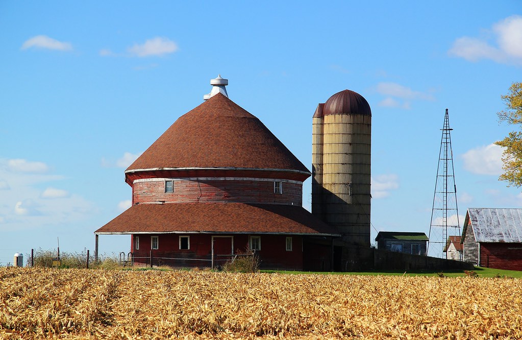
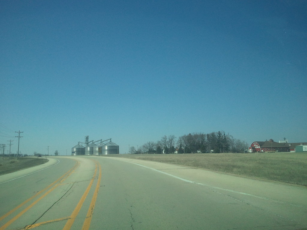
Red Oval Barn
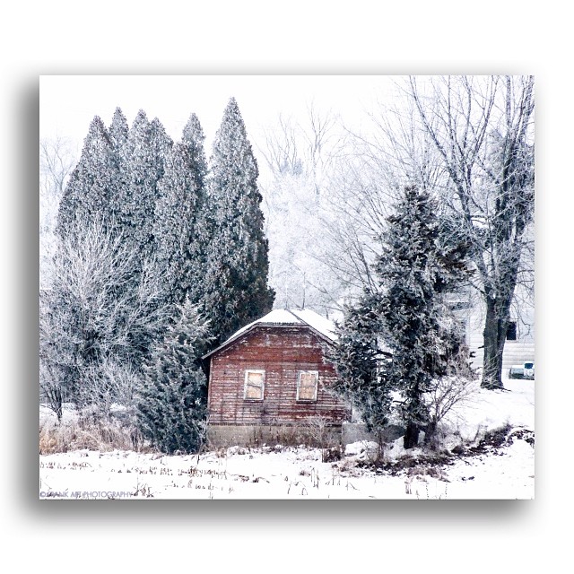
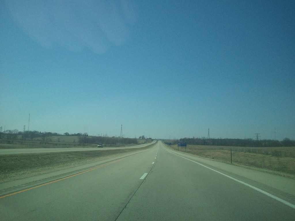
Lonely View

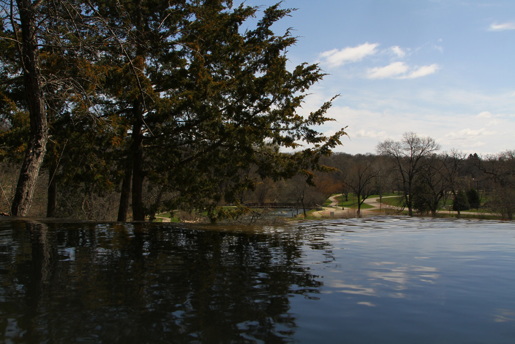
Planet Krape Park
Talk Of Fall
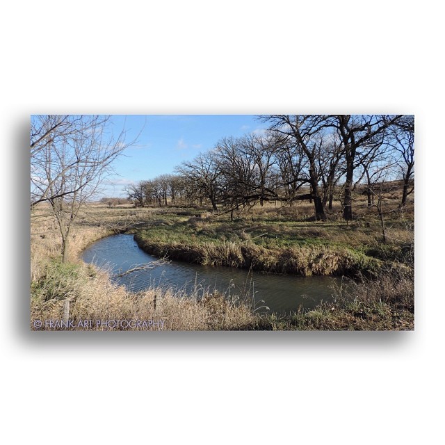
Creekside View

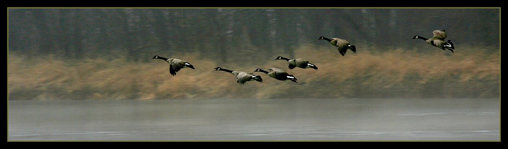
Hill Crest Trio
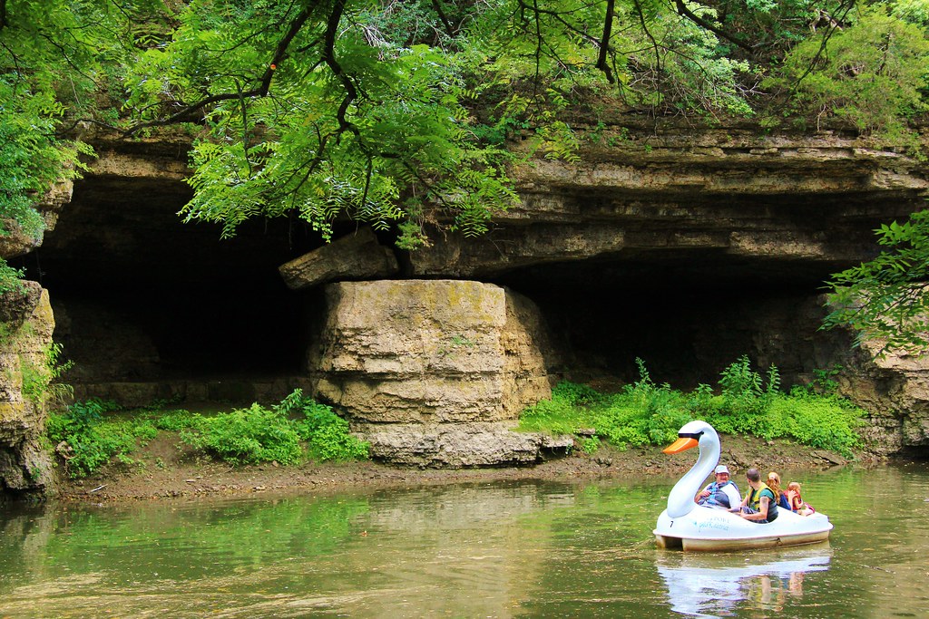
Twin Caves, Freeport IL
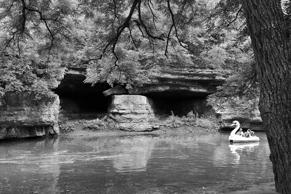
Twin Caves Freeport B&W

Krape Park Flagstaff View

Lincoln Hangs Douglas - Caught on Film
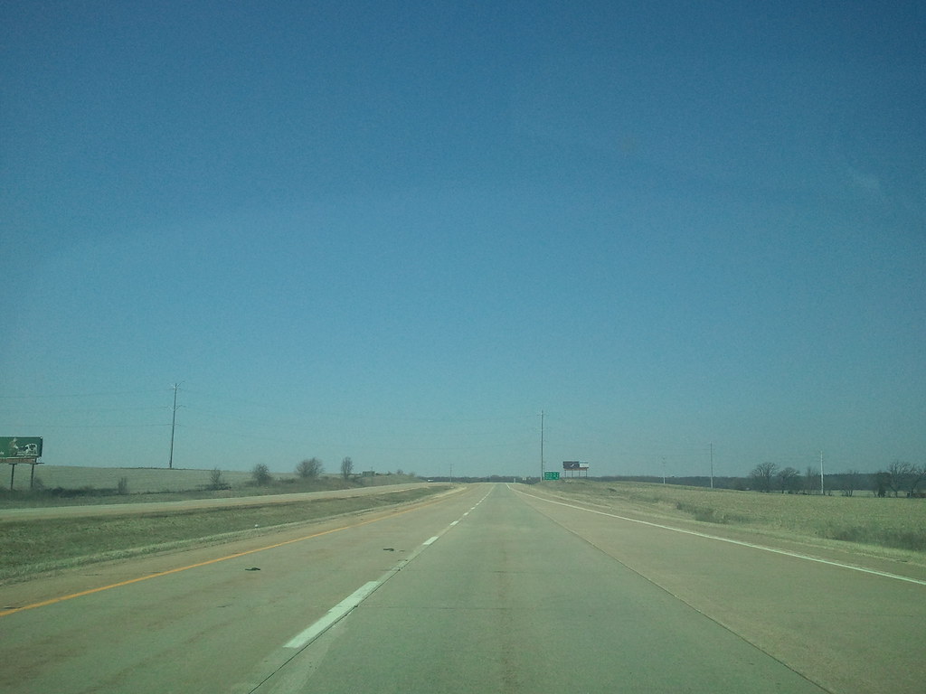
2011-03-30 13.43.43
2011-03-30 13.42.38
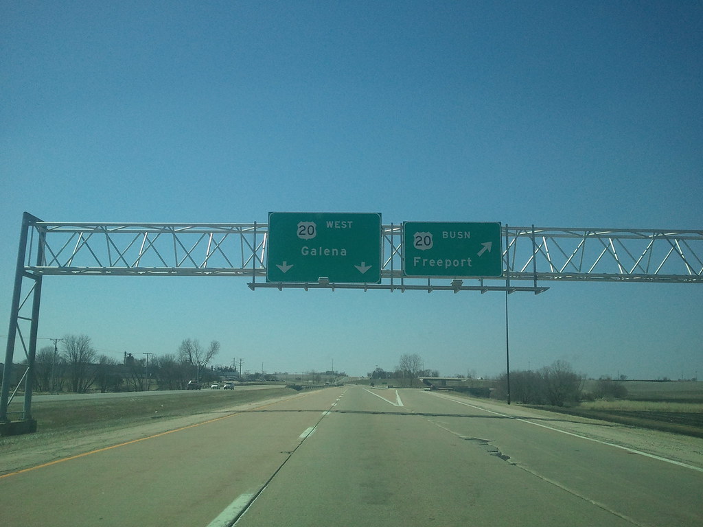
2011-03-30 14.00.10
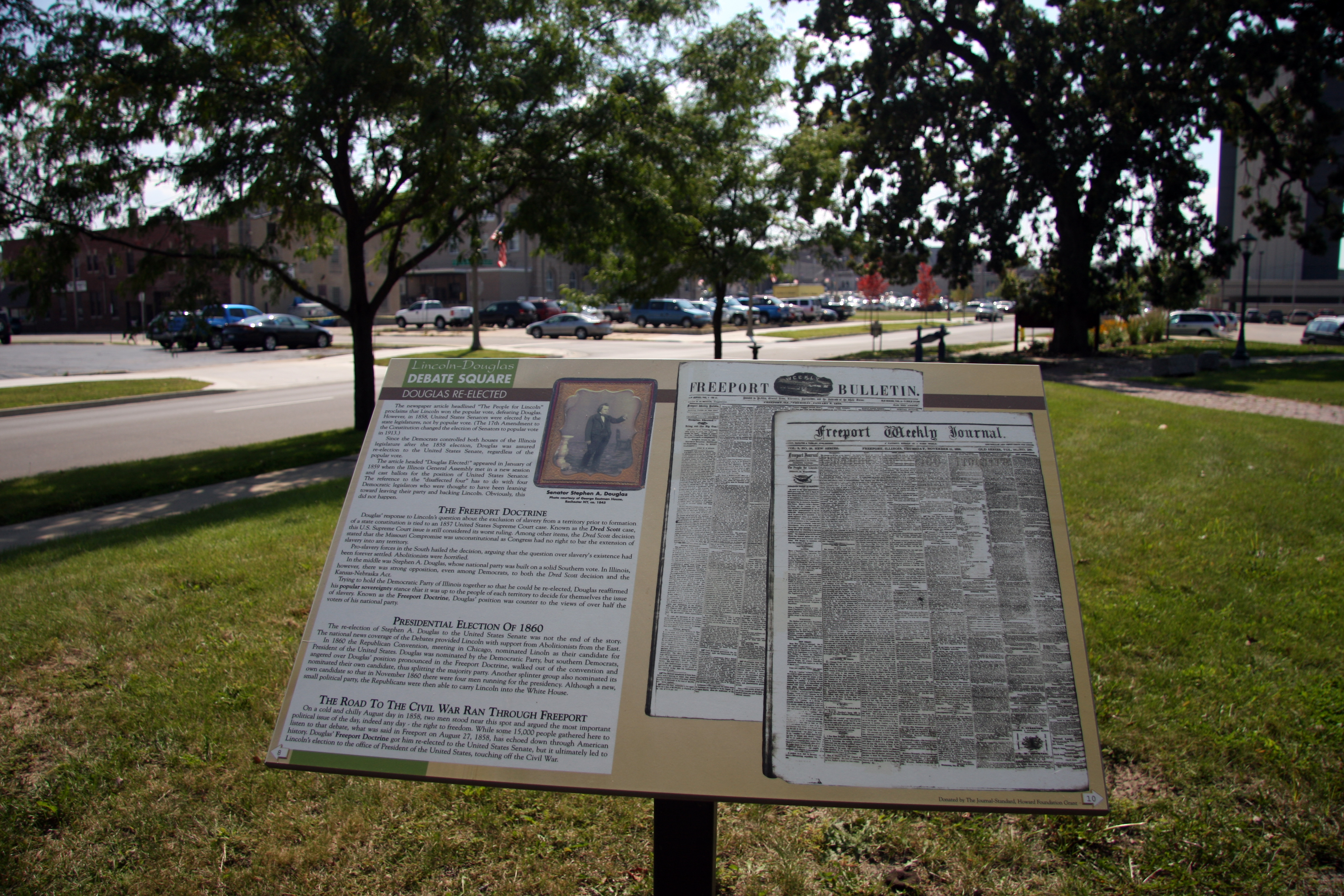
Where The War Started
2011-03-30 13.47.49
View From The Top
2011-03-30 13.38.33
2011-03-30 13.46.07
2011-03-30 13.38.56
Topographic Map of Freeport Township, IL, USA
Find elevation by address:

Places in Freeport Township, IL, USA:
Places near Freeport Township, IL, USA:
Krape Park
Freeport
S Galena Ave, Freeport, IL, USA
Arapaho Dr, Freeport, IL, USA
Stephenson County
Cherokee Court
1401 S Sleezer Home Rd
Harlem Township
2588 S Van Brocklin Rd
W Scioto Mills Rd, Freeport, IL, USA
60 N Stephenson St, Freeport, IL, USA
Cedarville
Florence Township
S Bolton Rd, Freeport, IL, USA
Baileyville
S Commercial St, Baileyville, IL, USA
N Cedarville Rd, Freeport, IL, USA
Buckeye Township
Bridge St, Lena, IL, USA
South Bower Road
Recent Searches:
- Elevation of 8, Rue de Bécancour, Blainville, Thérèse-De Blainville, Quebec, J7B1N2, Canada
- Elevation of Wilmot Court North, 163, University Avenue West, Northdale, Waterloo, Region of Waterloo, Ontario, N2L6B6, Canada
- Elevation map of Panamá Province, Panama
- Elevation of Balboa, Panamá Province, Panama
- Elevation of San Miguel, Balboa, Panamá Province, Panama
- Elevation of Isla Gibraleón, San Miguel, Balboa, Panamá Province, Panama
- Elevation of 4655, Krischke Road, Schulenburg, Fayette County, Texas, 78956, USA
- Elevation of Carnegie Avenue, Downtown Cleveland, Cleveland, Cuyahoga County, Ohio, 44115, USA
- Elevation of Walhonding, Coshocton County, Ohio, USA
- Elevation of Clifton Down, Clifton, Bristol, City of Bristol, England, BS8 3HU, United Kingdom
- Elevation map of Auvergne-Rhône-Alpes, France
- Elevation map of Upper Savoy, Auvergne-Rhône-Alpes, France
- Elevation of Chamonix-Mont-Blanc, Upper Savoy, Auvergne-Rhône-Alpes, France
- Elevation of 908, Northwood Drive, Bridge Field, Chesapeake, Virginia, 23322, USA
- Elevation map of Nagano Prefecture, Japan
- Elevation of 587, Bascule Drive, Oakdale, Stanislaus County, California, 95361, USA
- Elevation of Stadion Wankdorf, Sempachstrasse, Breitfeld, Bern, Bern-Mittelland administrative district, Bern, 3014, Switzerland
- Elevation of Z024, 76, Emil-von-Behring-Straße, Marbach, Marburg, Landkreis Marburg-Biedenkopf, Hesse, 35041, Germany
- Elevation of Gaskill Road, Hunts Cross, Liverpool, England, L24 9PH, United Kingdom
- Elevation of Speke, Liverpool, England, L24 9HD, United Kingdom