Elevation of Freelandville, IN, USA
Location: United States > Indiana > Knox County > Widner Township >
Longitude: -87.305807
Latitude: 38.864879
Elevation: 173m / 568feet
Barometric Pressure: 99KPa
Elevation Map:
Satellite Map:
Related Photos:
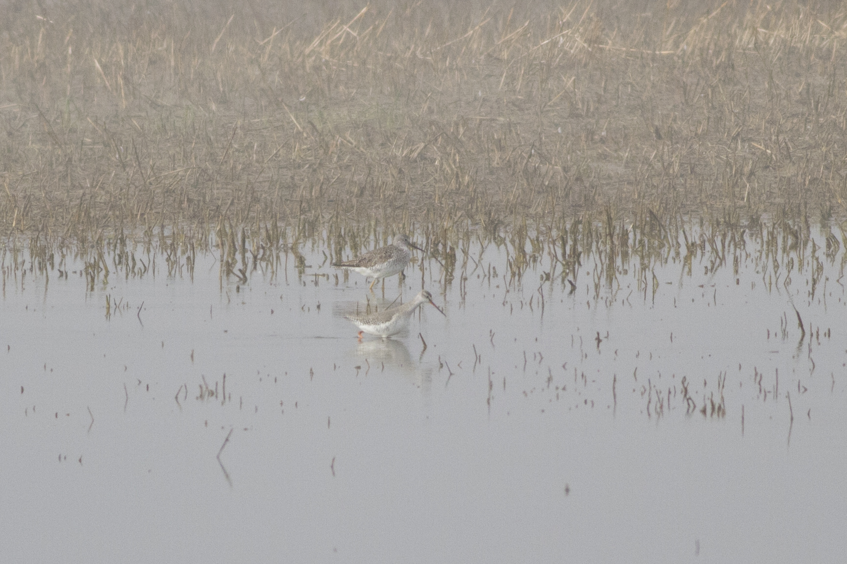
Spotted Redshank
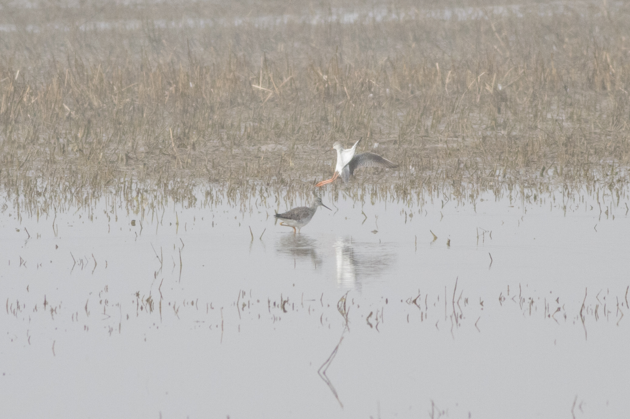
Spotted Redshank
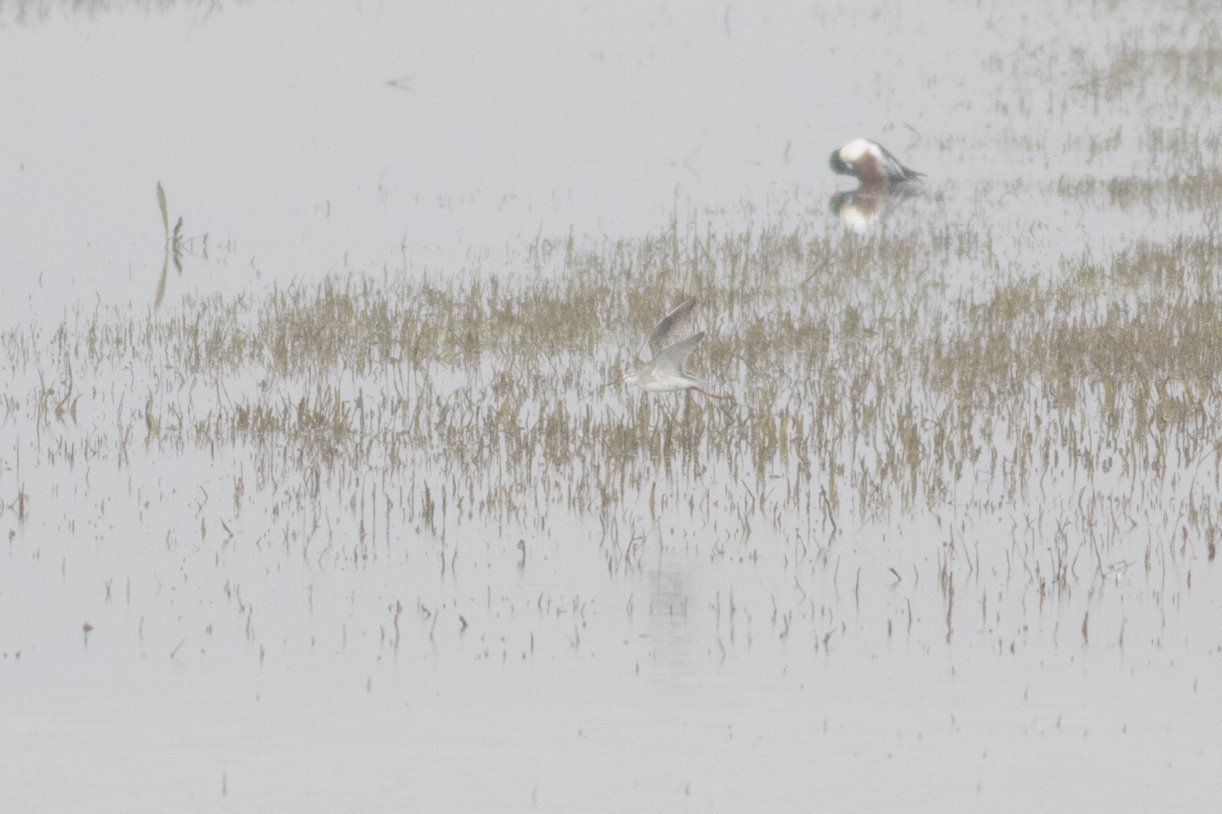
Spotted Redshank
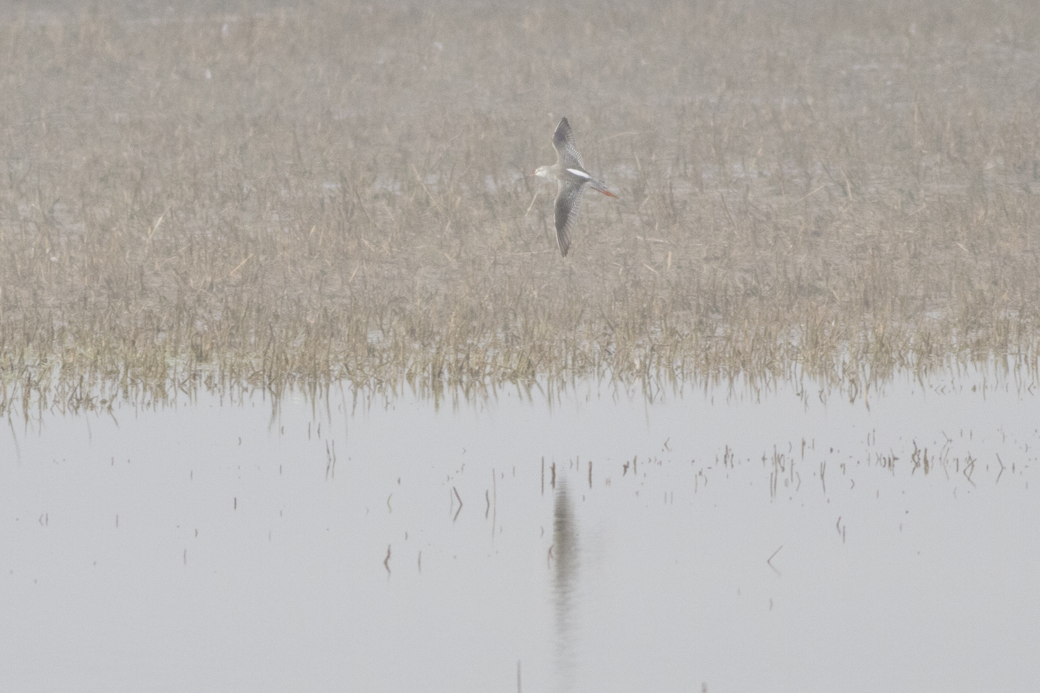
Spotted Redshank

Goose Pond Fish & Wildlife Area
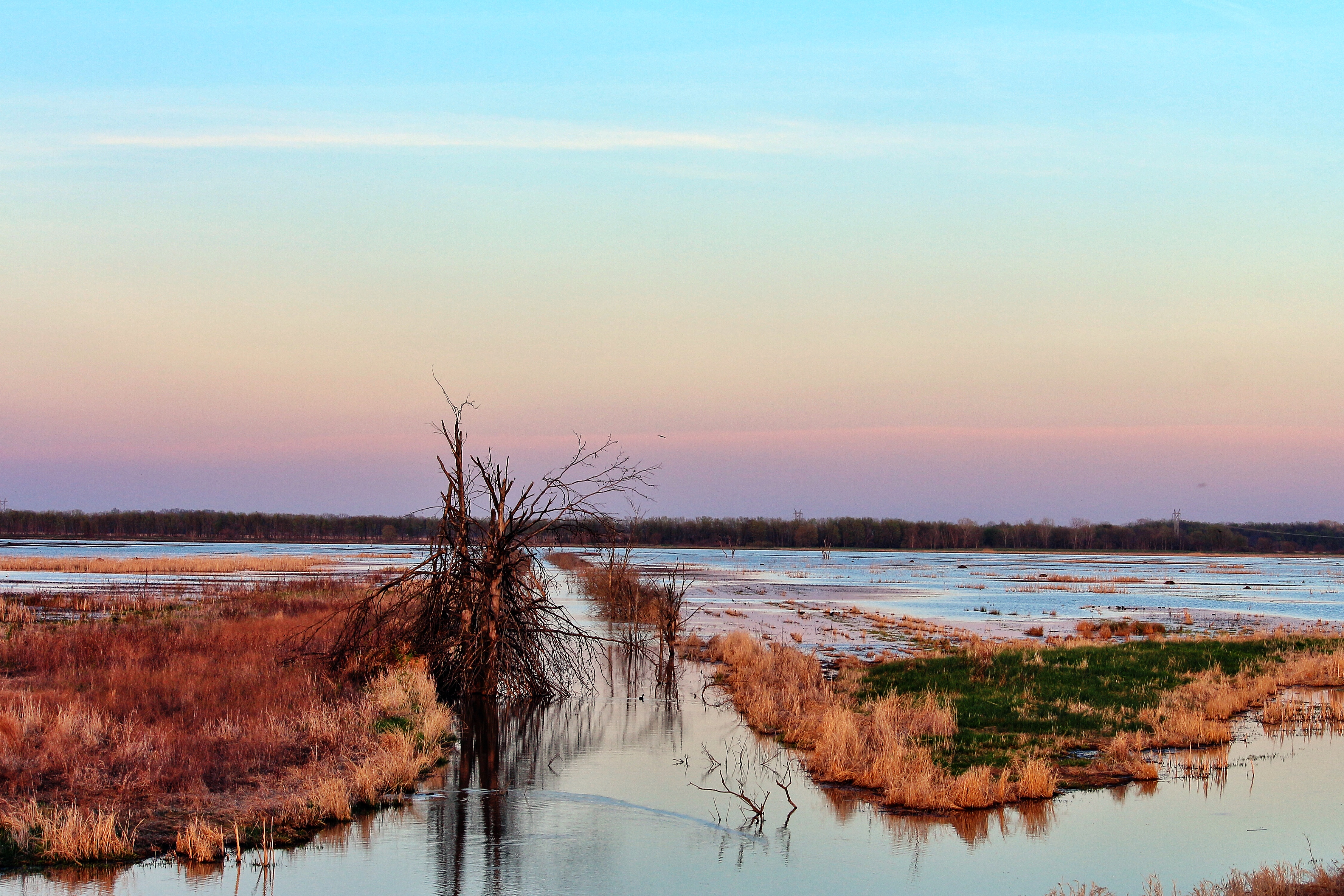
Goose Pond Fish & Wildlife Area
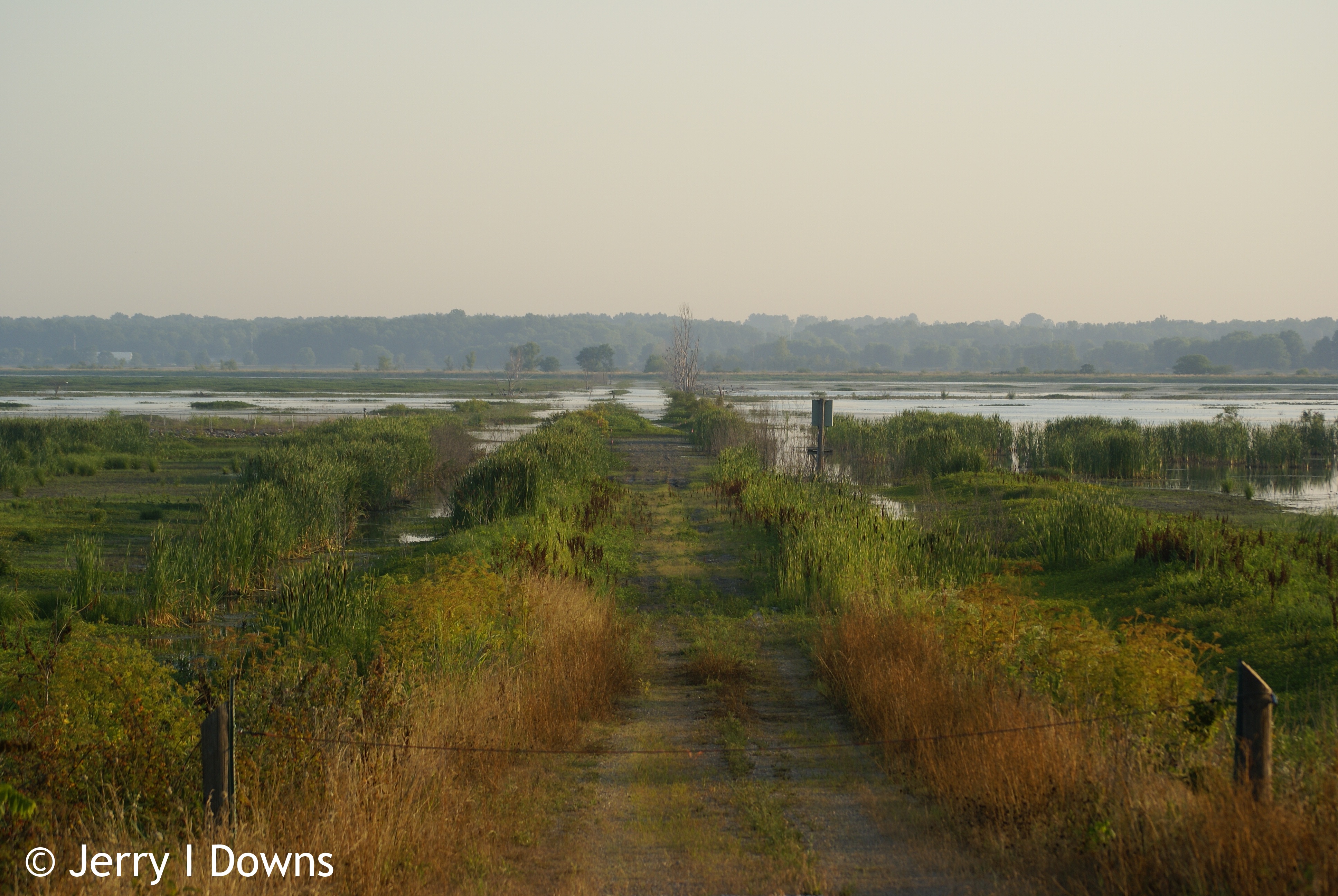
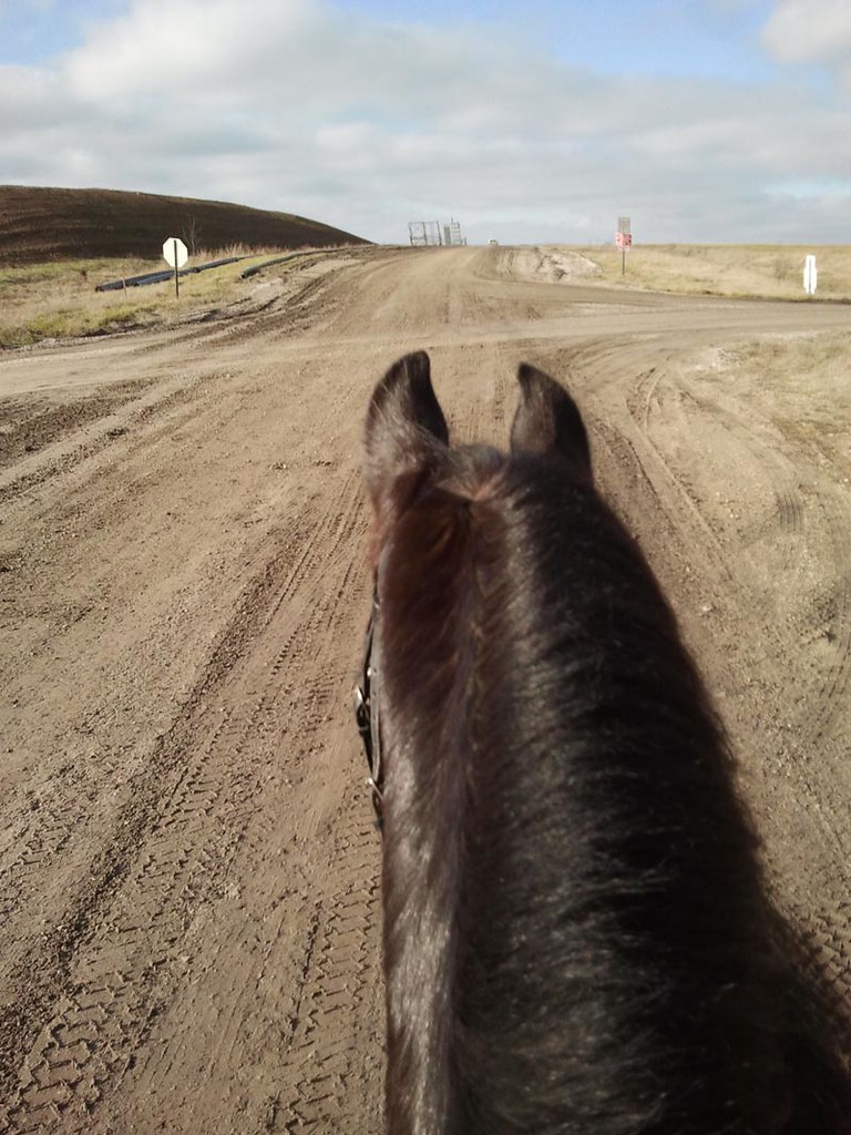
Road to GP-MPW
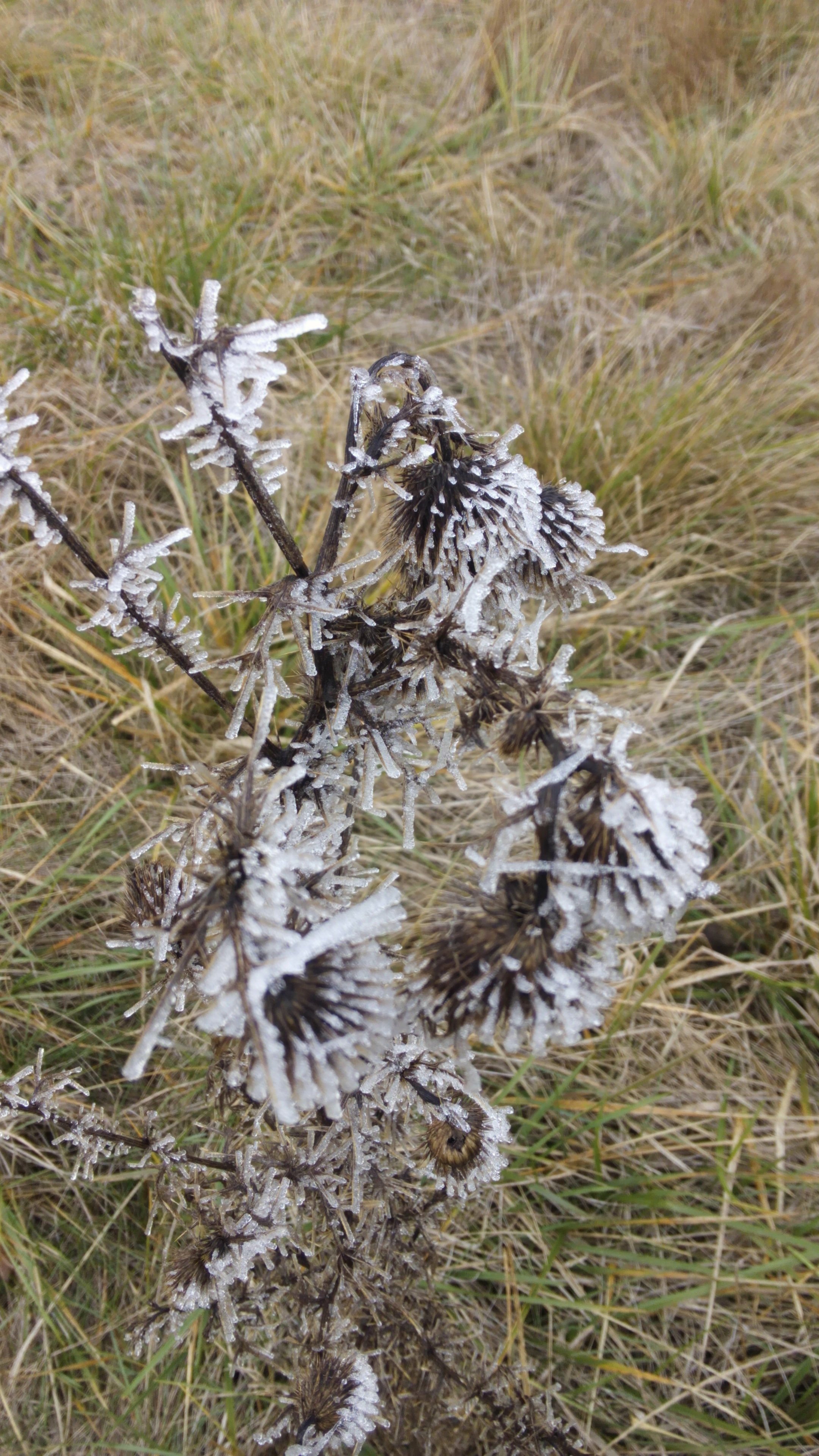
Morning Frost
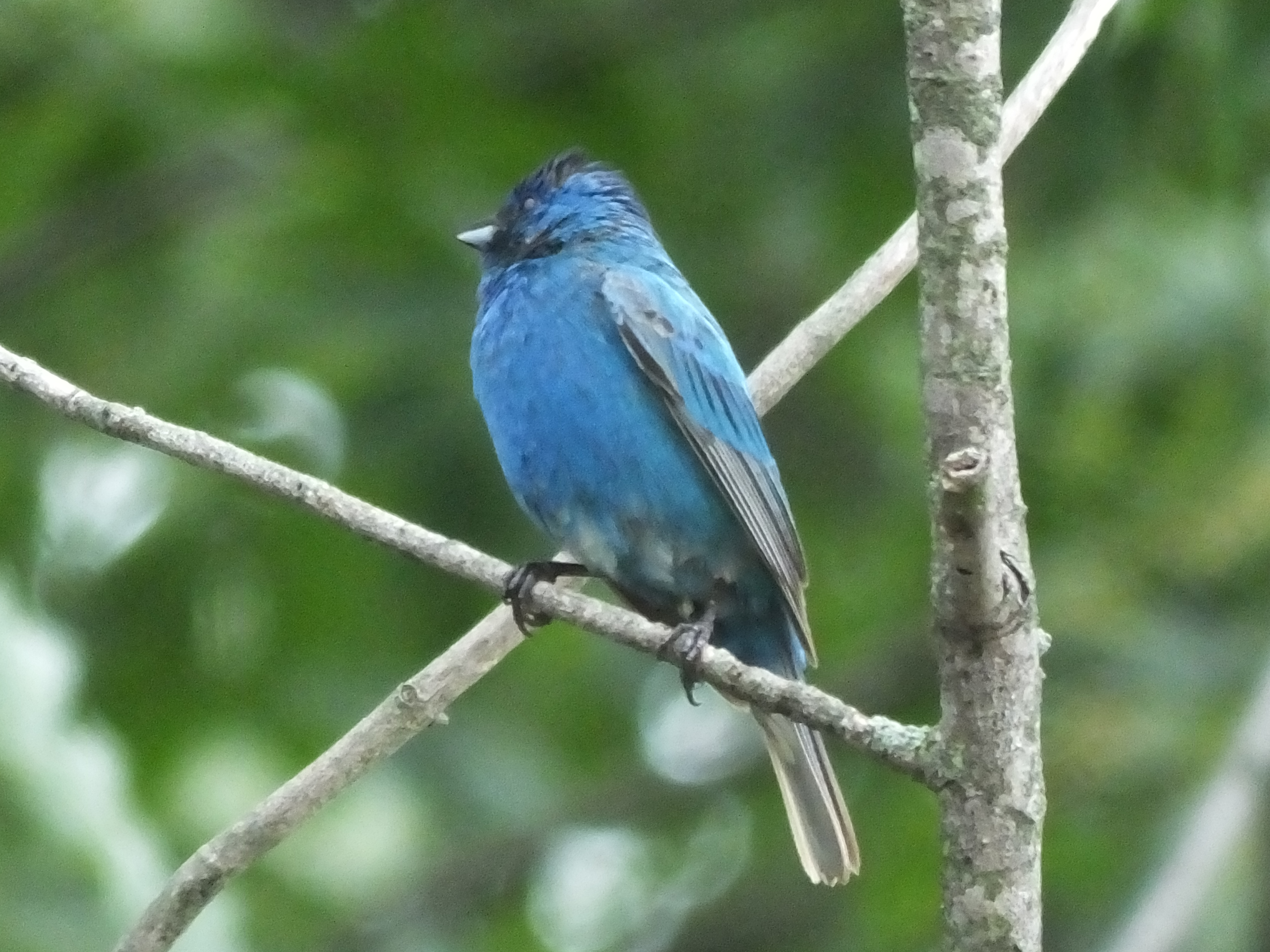
Passerina cyanea 6/24/2014
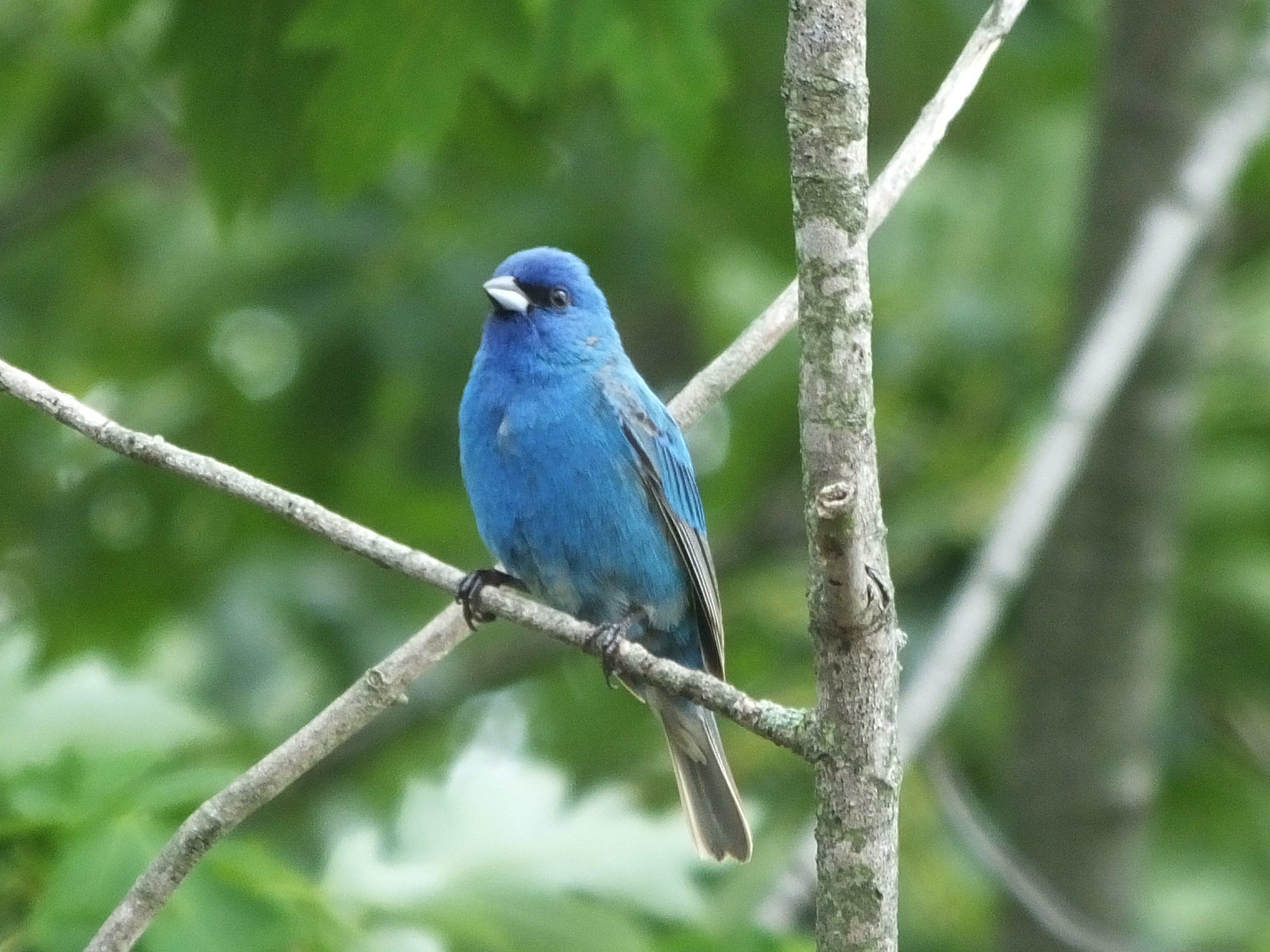
Passerina cyanea 6/24/2014

Icterus galbula 6/11/2014
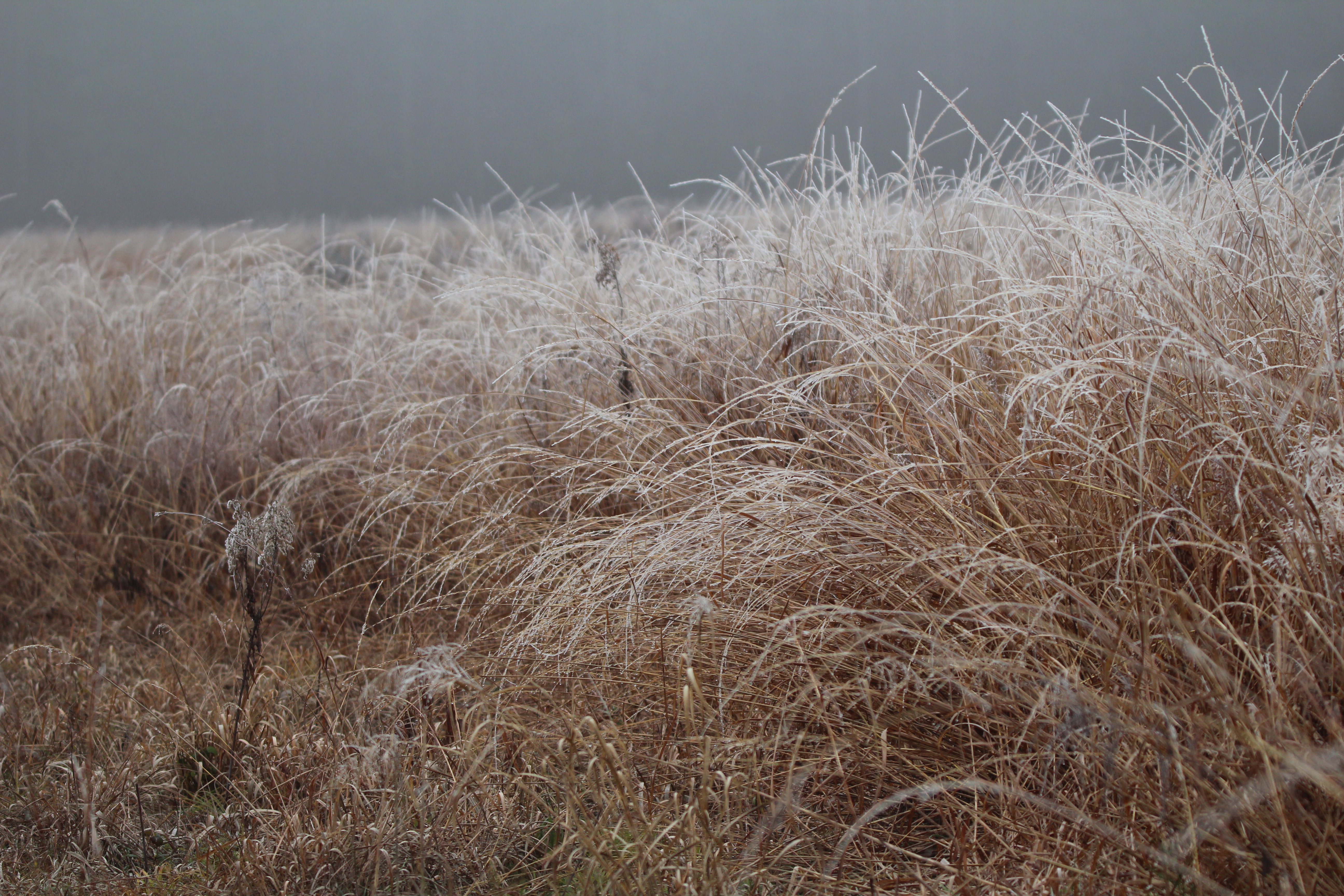
Post Fog Freeze

Colinus virginianus 7/26/2013

Spiza americana 8/3/2014

Indiana Surise
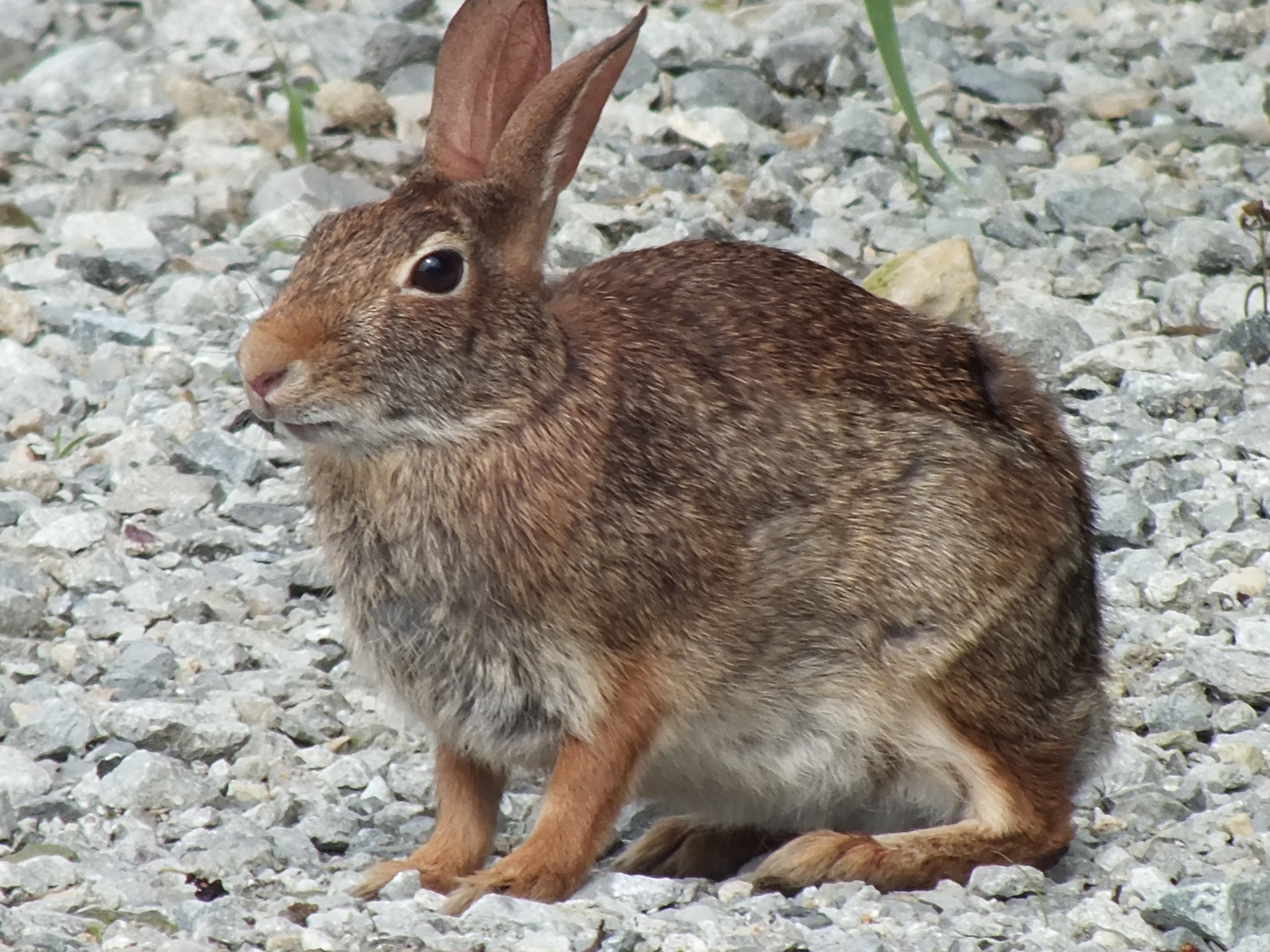
Sylvilagus floridanus 7/6/2013
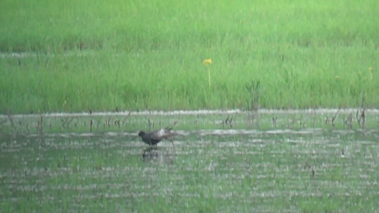
Spotted Redshank 5-6-13 by Tom Becker
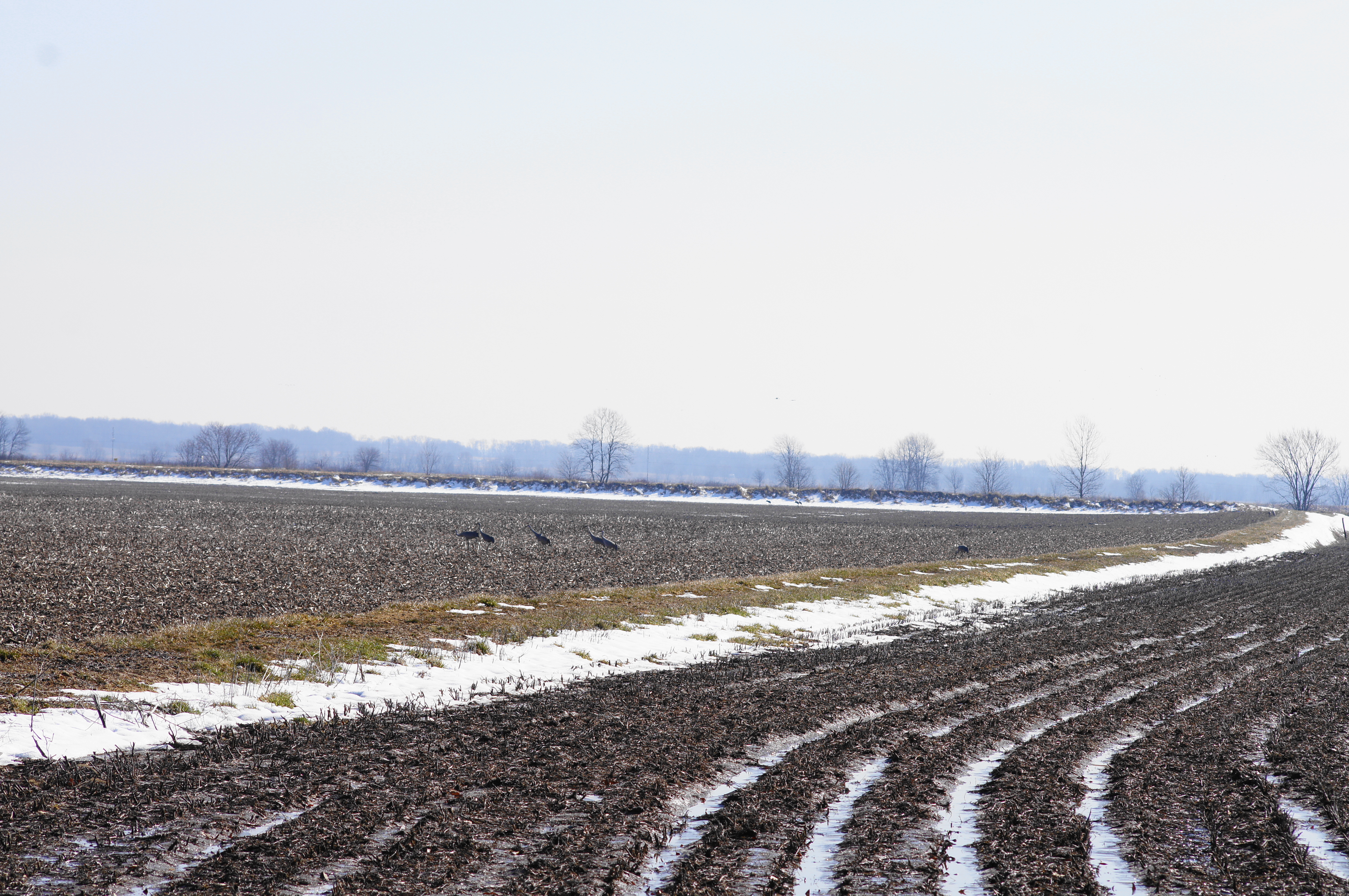
DSC01290 (1)cranes near levy
2011-12-31 14.51.26
Topographic Map of Freelandville, IN, USA
Find elevation by address:

Places in Freelandville, IN, USA:
Places near Freelandville, IN, USA:
6 Indiana St, Freelandville, IN, USA
Widner Township
East Miller Road
Vigo Township
Westphalia
N 2nd St, Westphalia, IN, USA
1015 Cleveland St
822 Mason St
703 N Main St
N Main St, Bicknell, IN, USA
Bicknell
614 W 3rd St
Jefferson Township
E Ragsdale Rd, Bicknell, IN, USA
Washington Township
Oaktown
Broadway St, Oaktown, IN, USA
County Rd, Carlisle, IN, USA
Steele Township
Bruceville
Recent Searches:
- Elevation of Corso Fratelli Cairoli, 35, Macerata MC, Italy
- Elevation of Tallevast Rd, Sarasota, FL, USA
- Elevation of 4th St E, Sonoma, CA, USA
- Elevation of Black Hollow Rd, Pennsdale, PA, USA
- Elevation of Oakland Ave, Williamsport, PA, USA
- Elevation of Pedrógão Grande, Portugal
- Elevation of Klee Dr, Martinsburg, WV, USA
- Elevation of Via Roma, Pieranica CR, Italy
- Elevation of Tavkvetili Mountain, Georgia
- Elevation of Hartfords Bluff Cir, Mt Pleasant, SC, USA