Elevation of Freedom Township, PA, USA
Location: United States > Pennsylvania > Blair County >
Longitude: -78.463827
Latitude: 40.3706465
Elevation: 518m / 1699feet
Barometric Pressure: 95KPa
Elevation Map:
Satellite Map:
Related Photos:

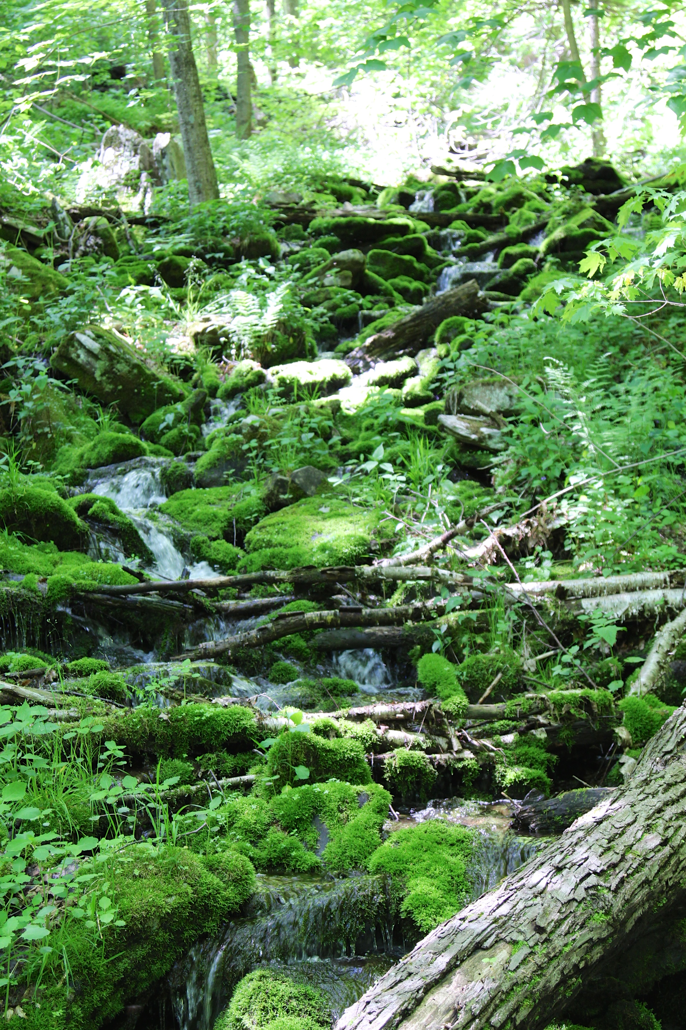
Small waterfall, Beaverdam Creek
View from my Backyard

Boundary sign and trail blazing

View from our front porch

Orange fungus
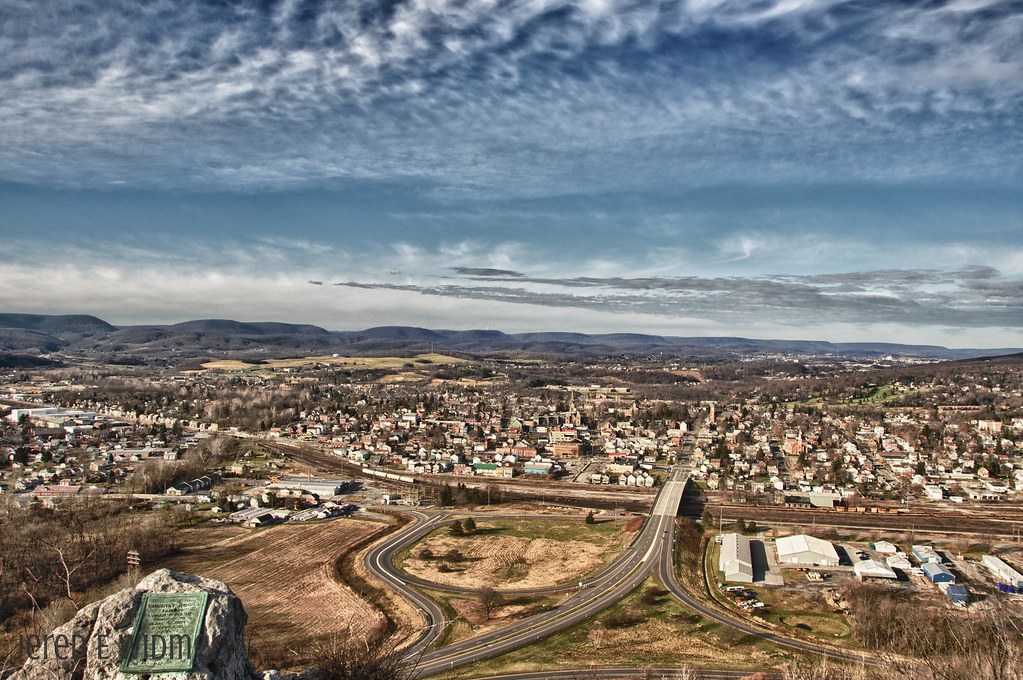
Martinsburg, PA

Birds on a Wire
Mountain View Trail
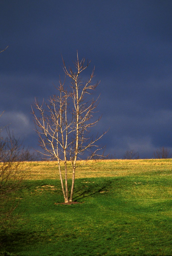
Winter's Afternoon
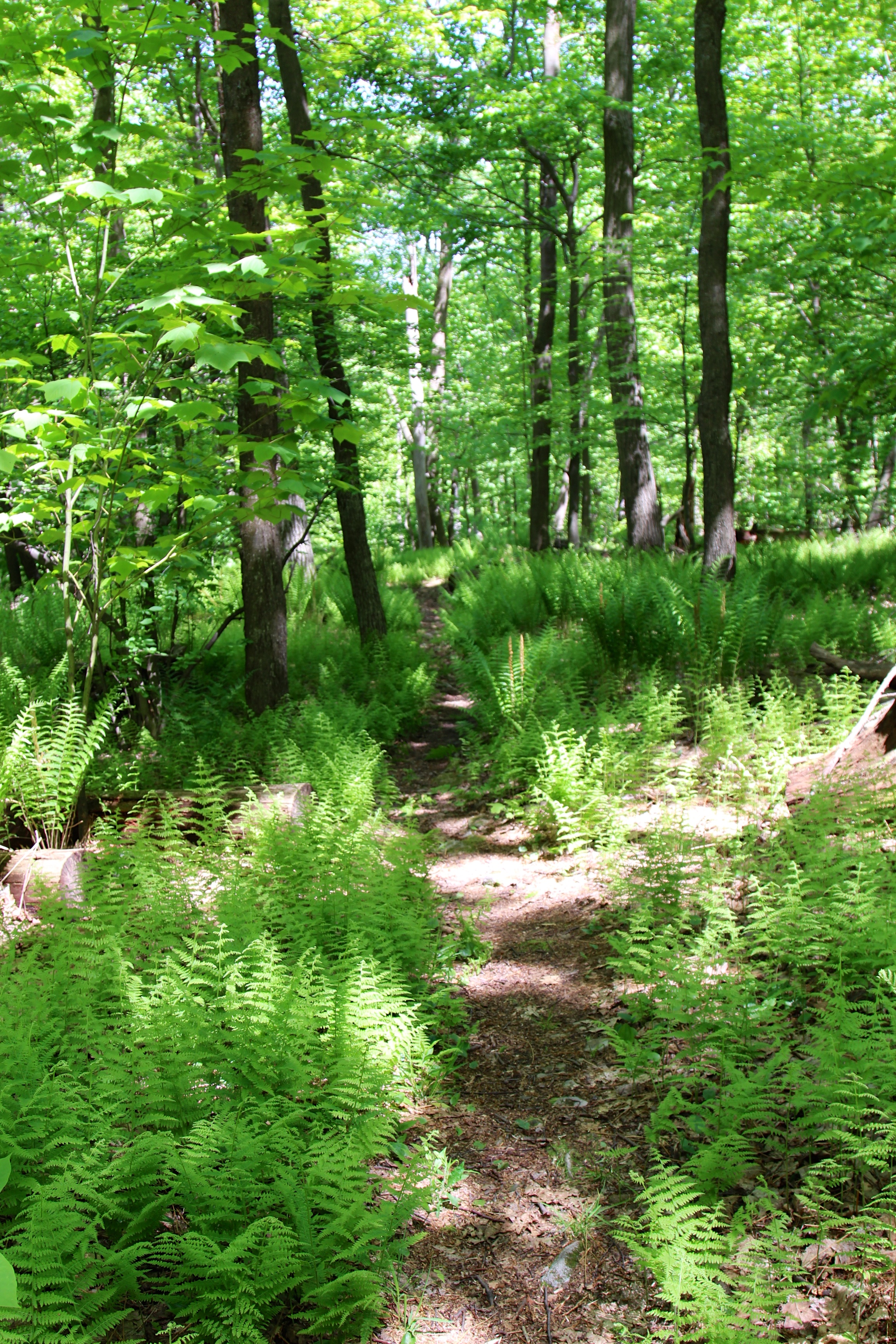
Through the fern country

Plants growing on rock
Beavedam Creek

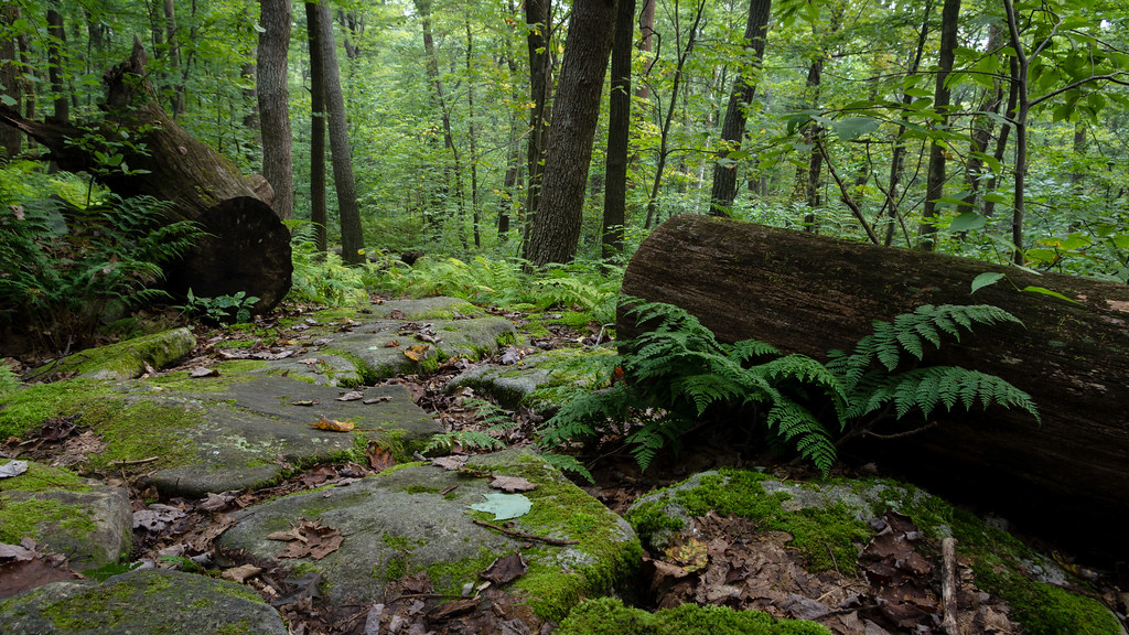
Fern country
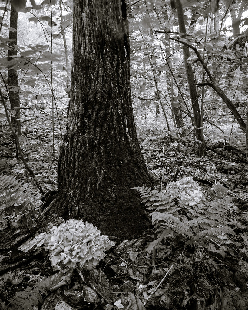
Hen-of-the-woods
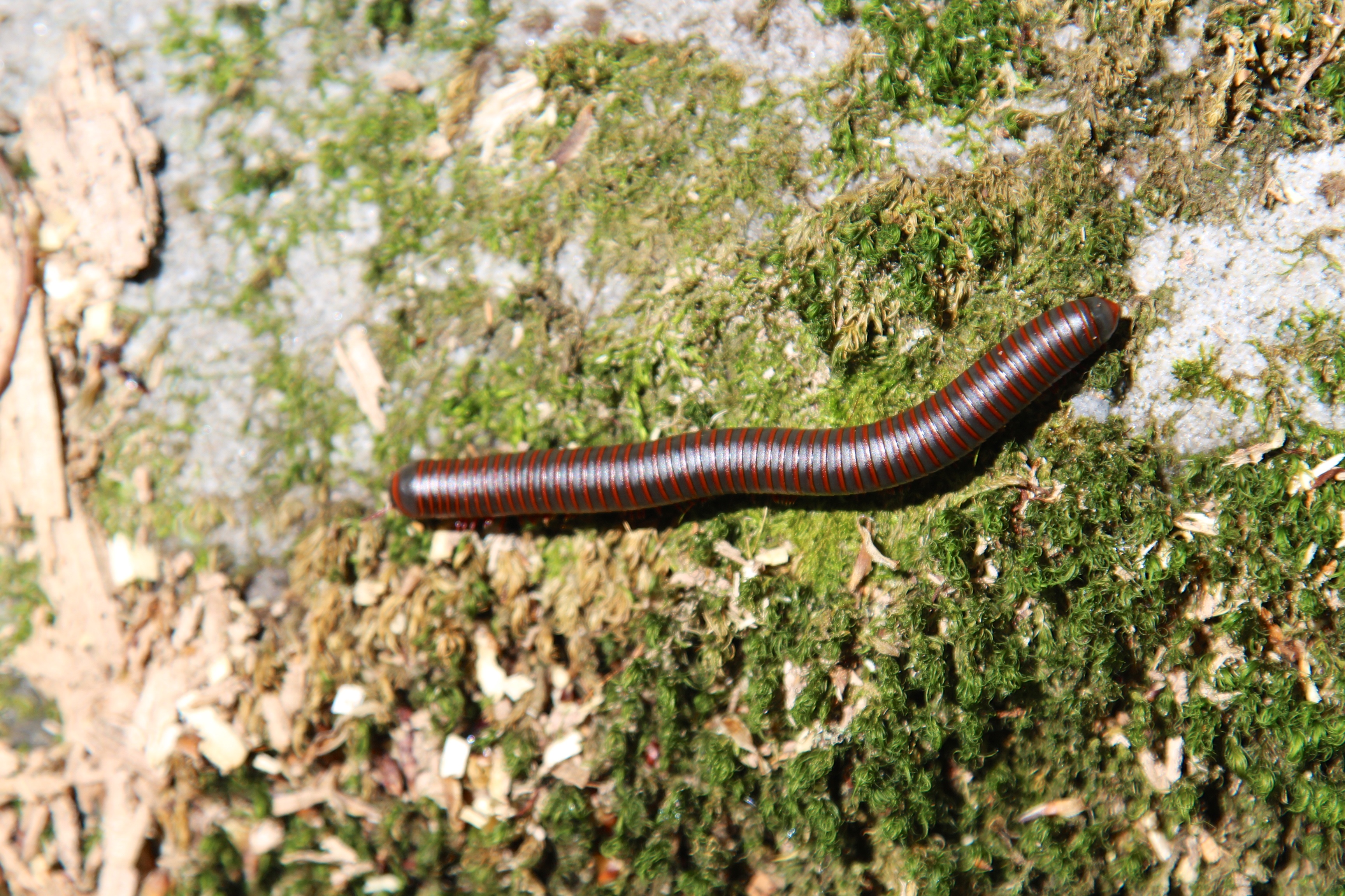
Millipede closeup
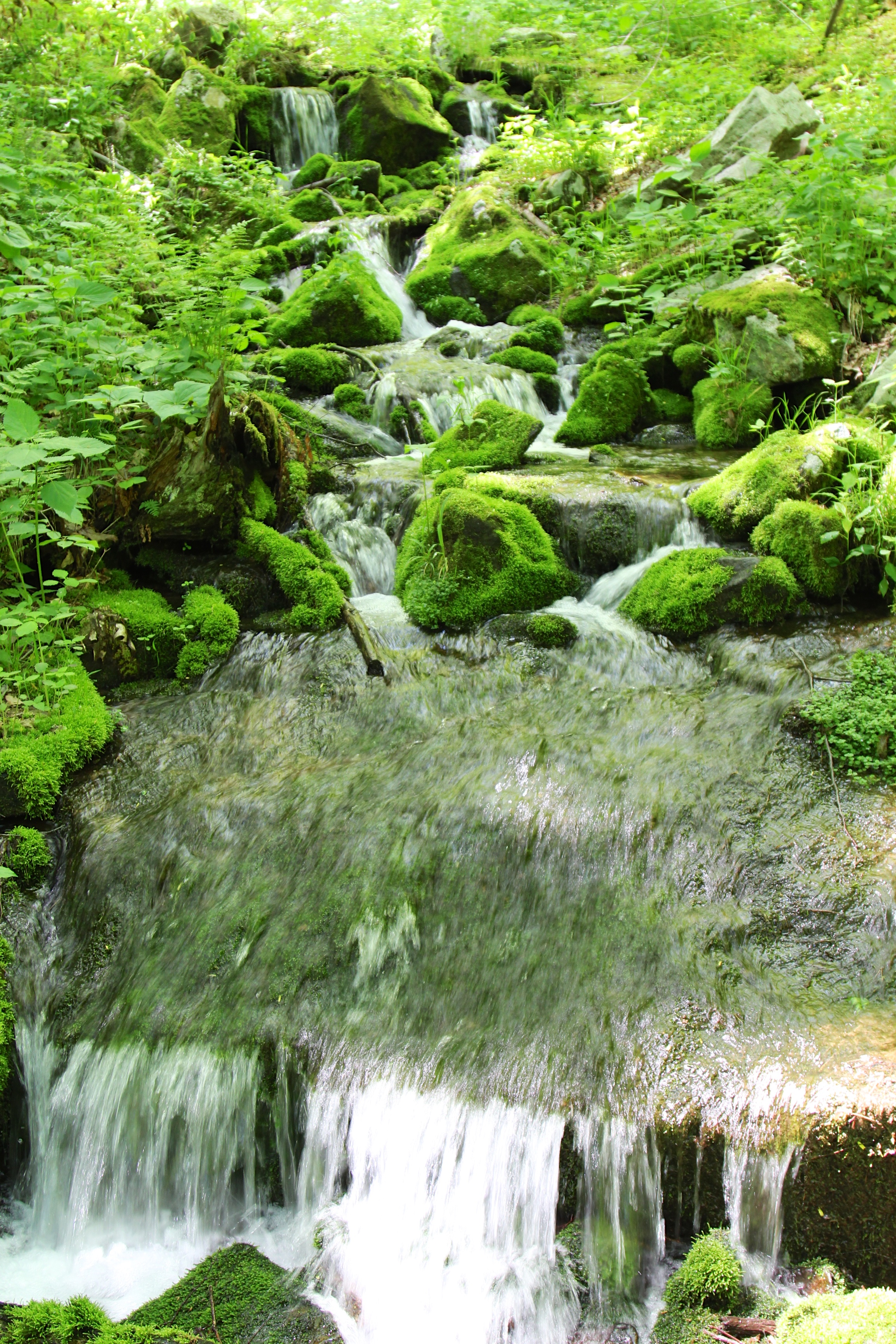
water rolling down on Beaverdam Creek

Begin of Mountain View Trail
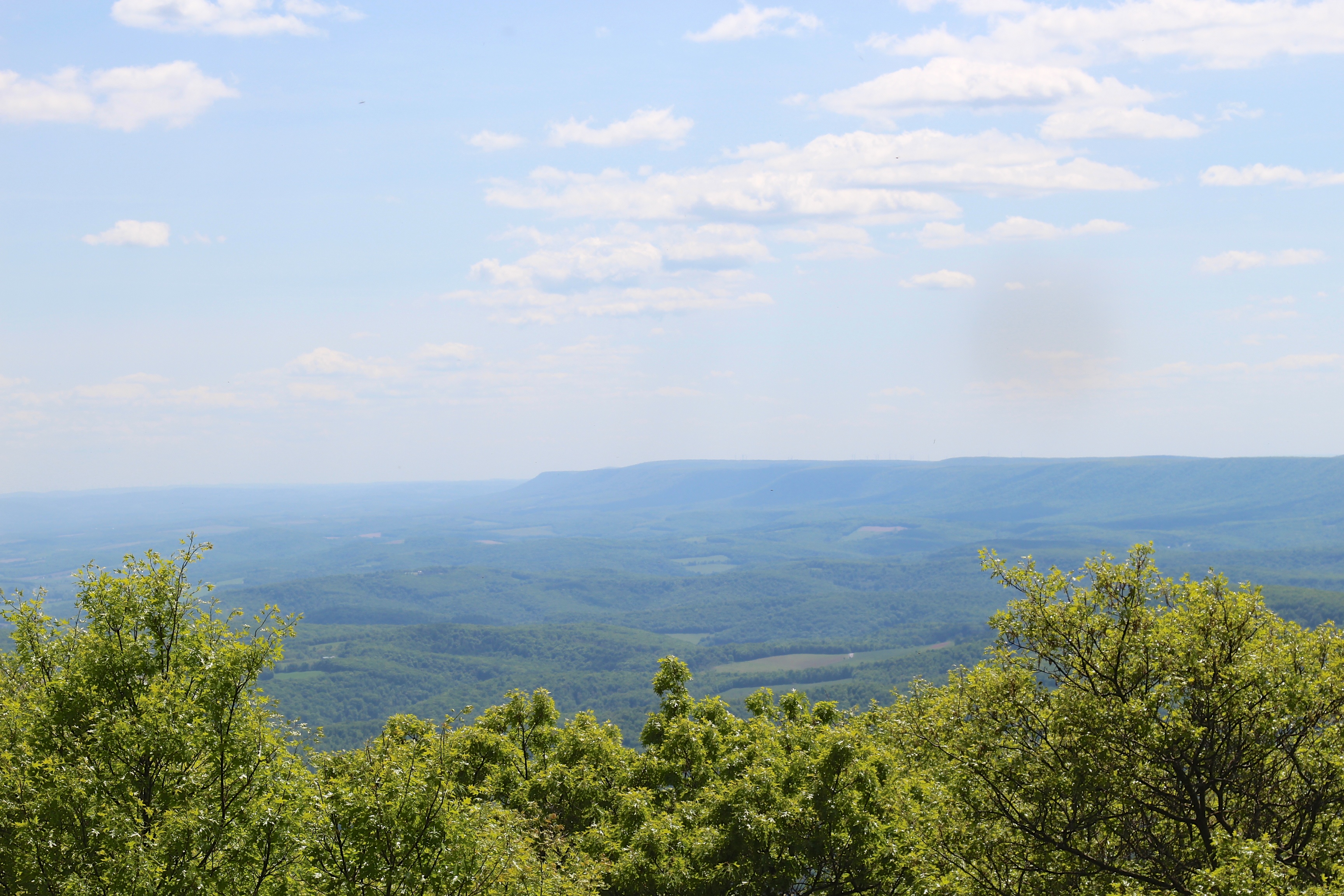
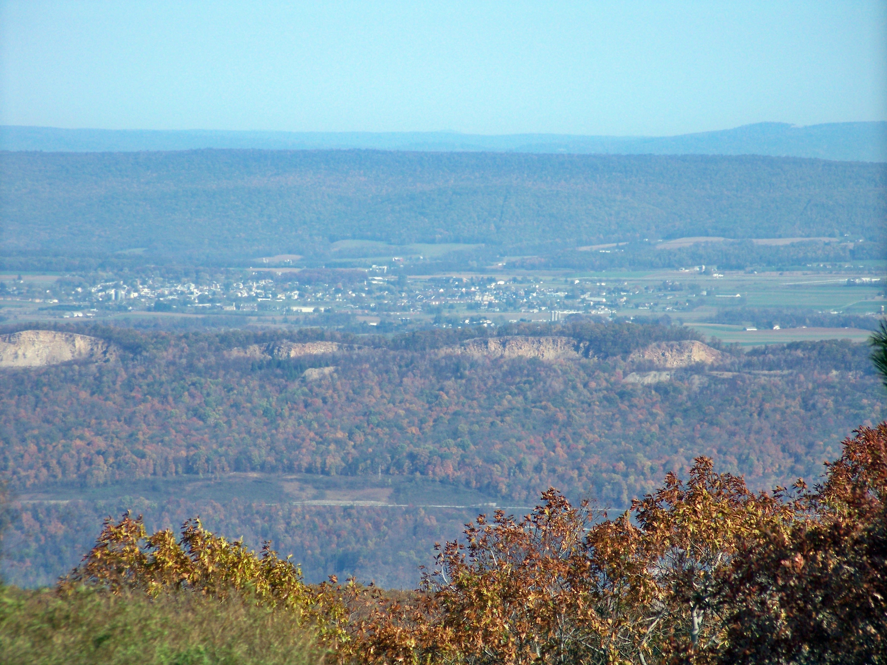
Pivia Lookout on southeast

on the other side of the tree

Strings Attached
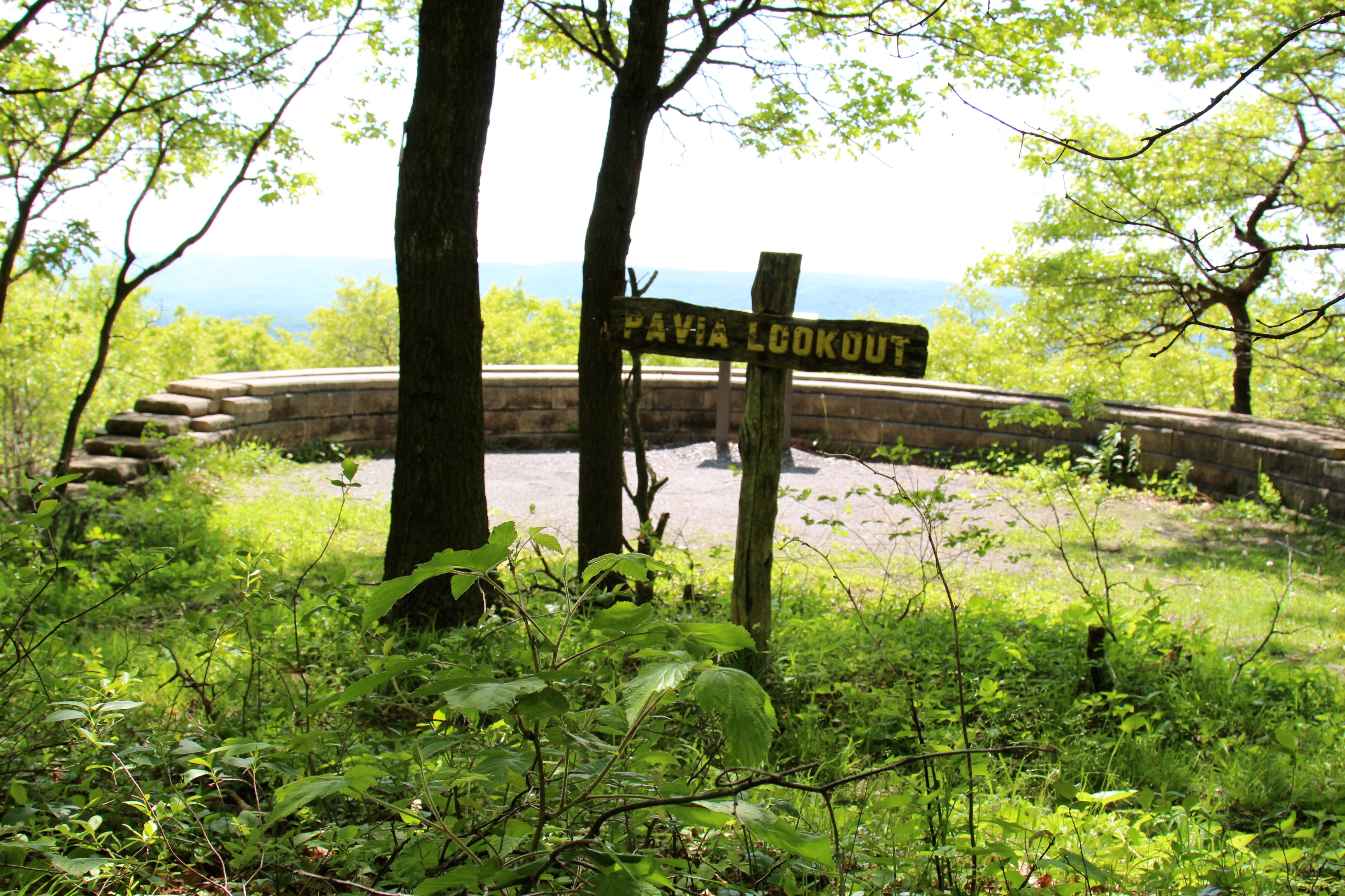
Pavia Lookout sign
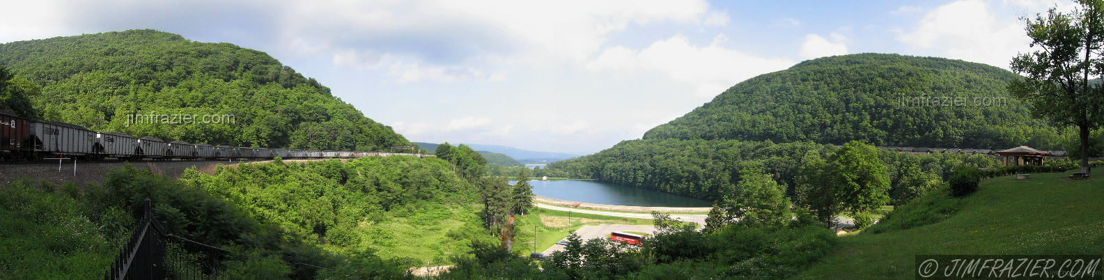
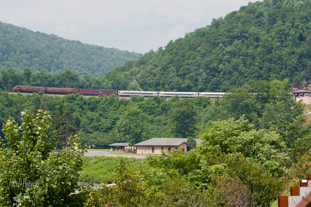
Horseshoe Curve

Blue Knob State Park PA - 2015-01-28 (7)

Peach Hill Trees are in full bloom

Stream In Blair County, Pa.
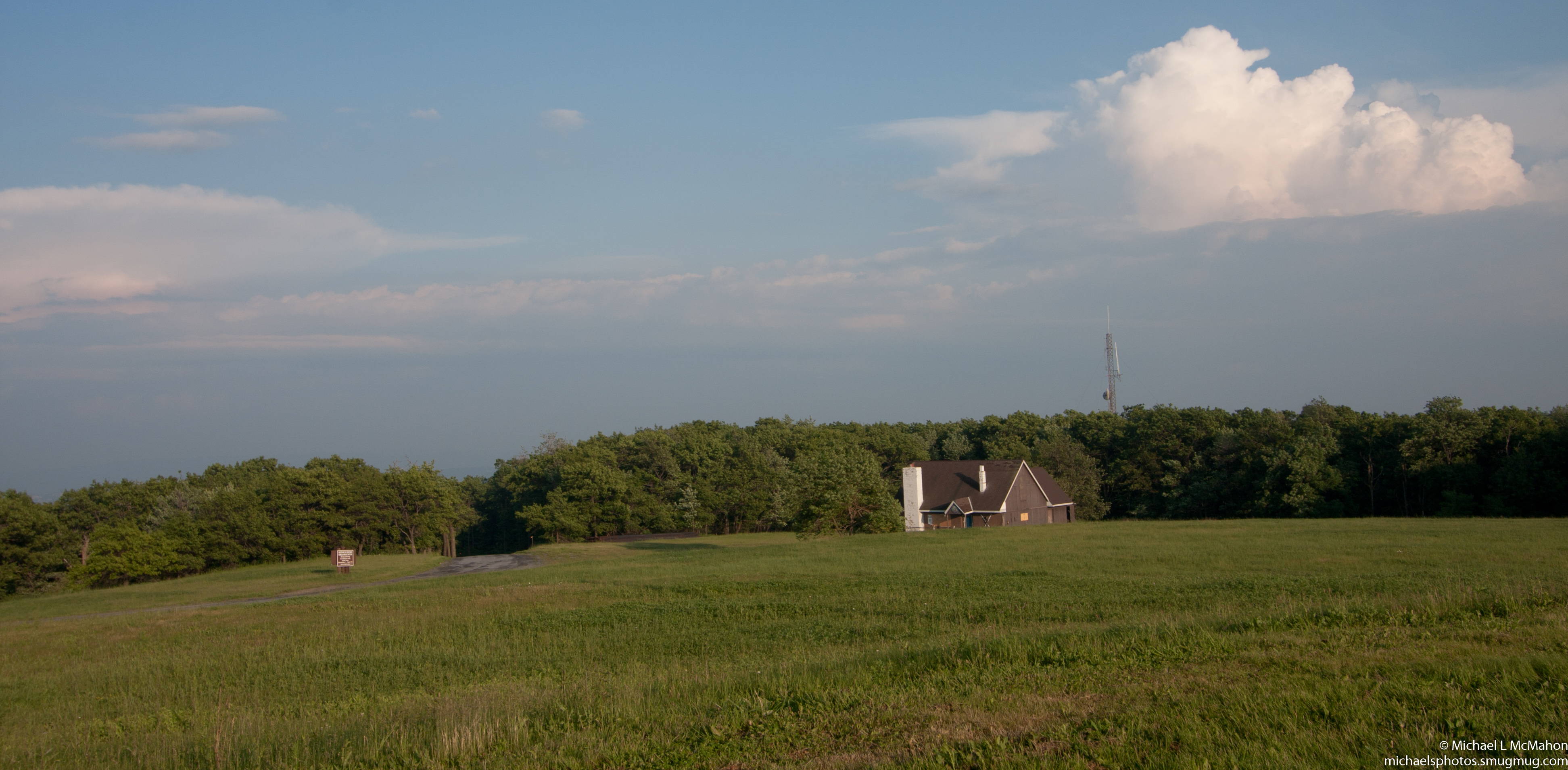
Blue Knob State Park

Everett railroad.

Everett railroad.
E8s on Horseshoe
Wind turbine

Everett railroad.

Fog Cleared on the Mountain Top...
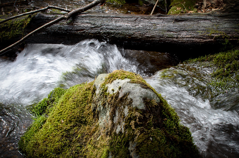
moss rock water

Chimney Rocks Regional Park, Hollidaysburg, PA - 2011-06-01 (52)
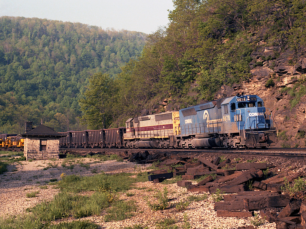
CR 6678 Horseshoe Curve, PA

1978 05-20 0920 CR SDP45-6693 W/B at Altoona, PA
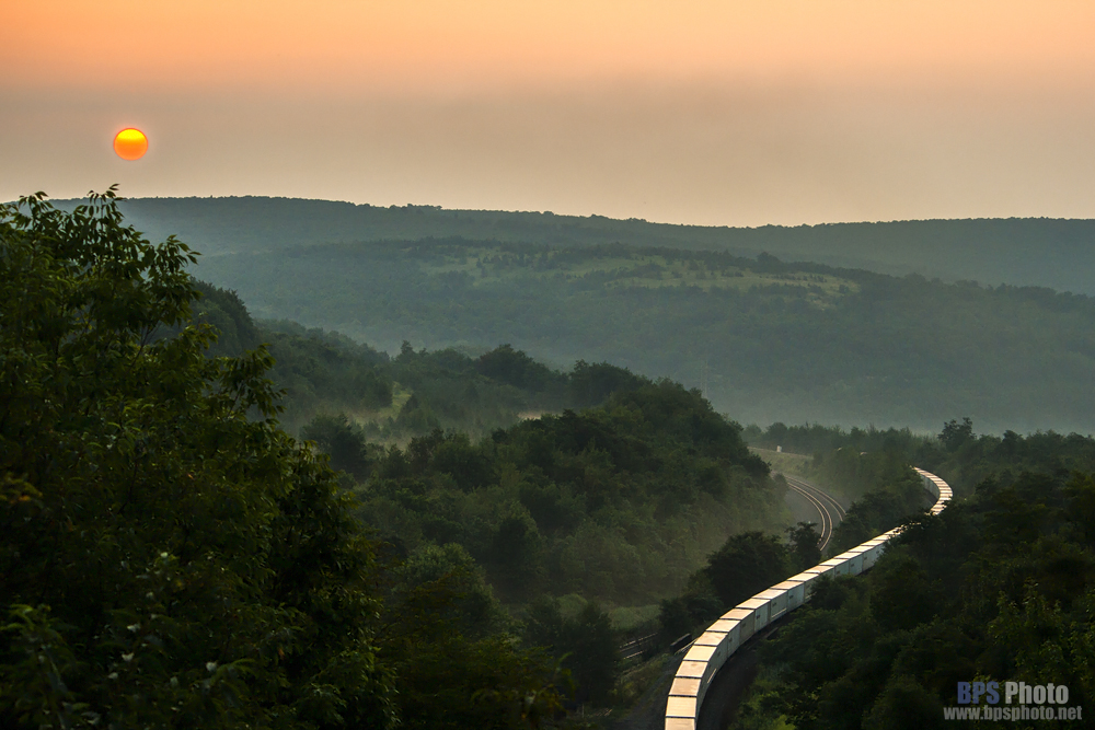
Sunrise roadrailer
Topographic Map of Freedom Township, PA, USA
Find elevation by address:

Places near Freedom Township, PA, USA:
Puzzletown Rd, Duncansville, PA, USA
162 Singer Ln
1024 Patrick Ln
East Freedom
Newry
N Bedford St, Duncansville, PA, USA
Champion Court
108 Wilson Ln
Brooks Boulevard
Brooks Boulevard
Brooks Boulevard
Brooks Boulevard
Polecat Hollow Road
Blair Township
101 Deville Dr
223 Main St
Deer Run Lane
Greenfield Township
715 Spang St
Packard Street
Recent Searches:
- Elevation of Corso Fratelli Cairoli, 35, Macerata MC, Italy
- Elevation of Tallevast Rd, Sarasota, FL, USA
- Elevation of 4th St E, Sonoma, CA, USA
- Elevation of Black Hollow Rd, Pennsdale, PA, USA
- Elevation of Oakland Ave, Williamsport, PA, USA
- Elevation of Pedrógão Grande, Portugal
- Elevation of Klee Dr, Martinsburg, WV, USA
- Elevation of Via Roma, Pieranica CR, Italy
- Elevation of Tavkvetili Mountain, Georgia
- Elevation of Hartfords Bluff Cir, Mt Pleasant, SC, USA