Elevation of Franklin, NC, USA
Location: United States > North Carolina > Surry County >
Longitude: -80.865453
Latitude: 36.5069964
Elevation: 402m / 1319feet
Barometric Pressure: 97KPa
Elevation Map:
Satellite Map:
Related Photos:

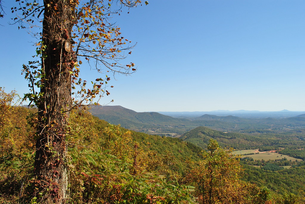
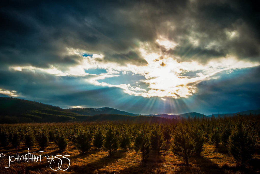
160415-0817 Lowgap-Pano

From the Blue Ridge Parkway Au Naturel.
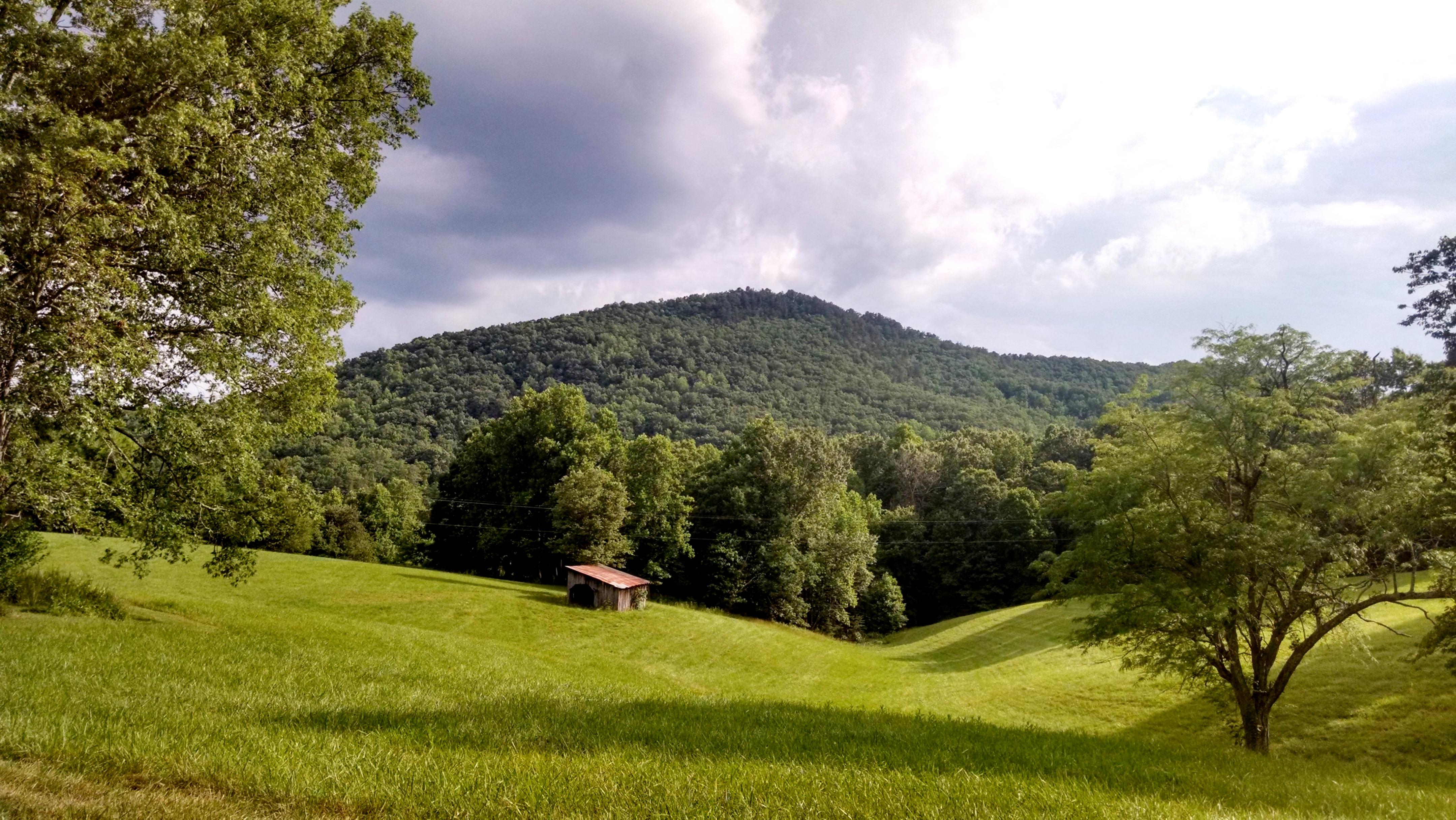
A view of the Knob from Honey Locust Lane.
Nice view

Raven Knob Panorama
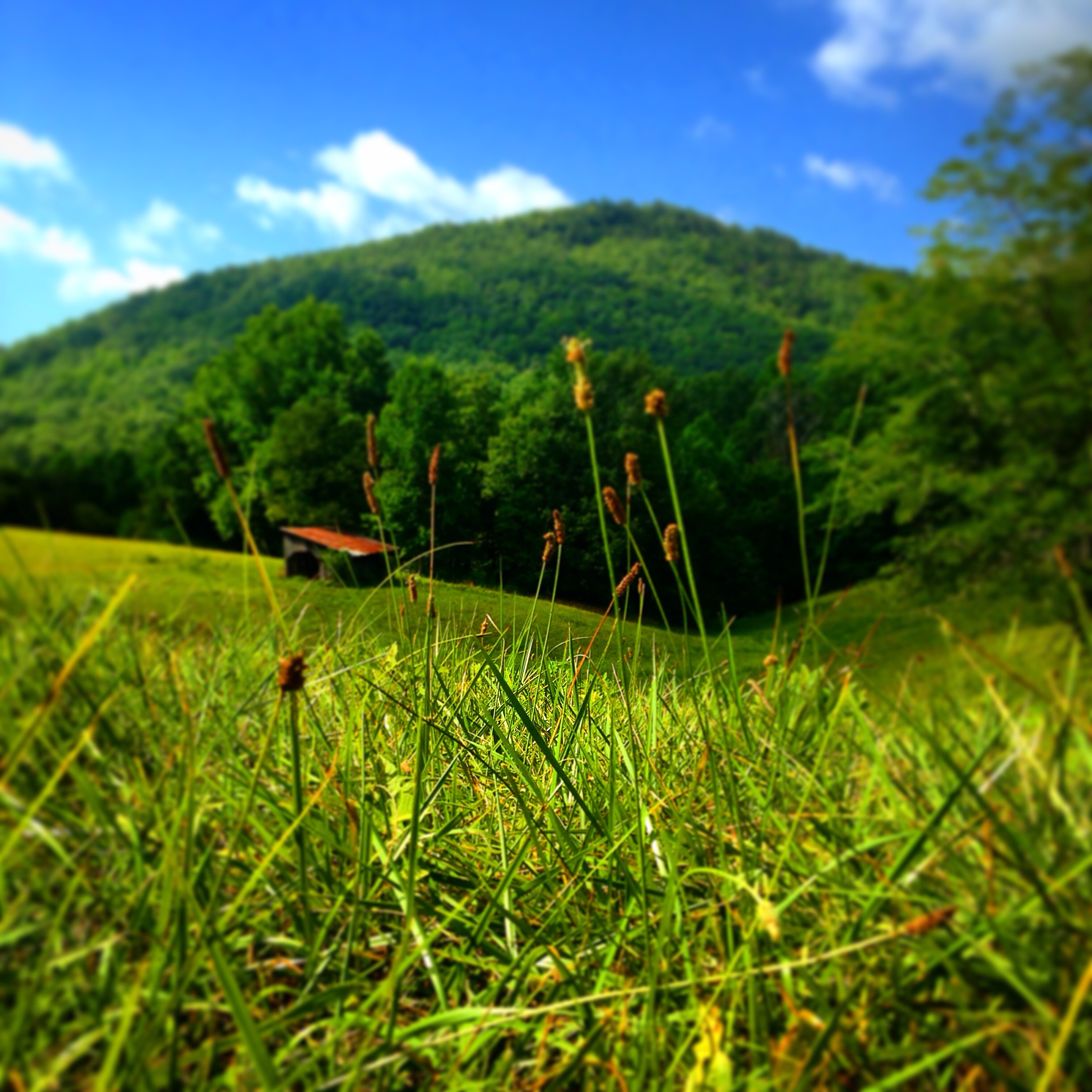
A new view of the Knob

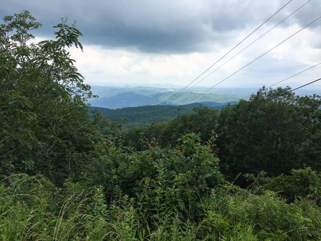
SCENIC VIEW
PARKWAY VIEW
AUTUMN VIEW
View from Blue Ridge Parkway, Alleghany County (N.C.), 14 October 1972
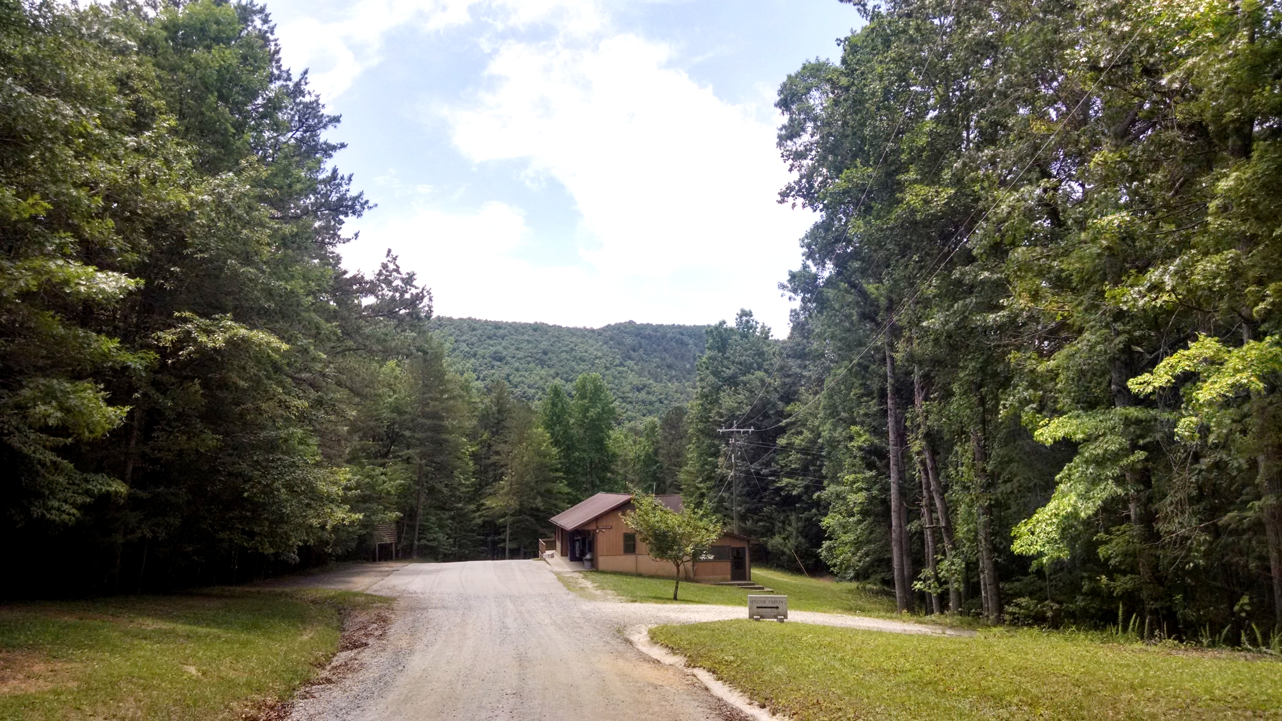
A beautiful view down Raven Knob road into camp. 6/11/14
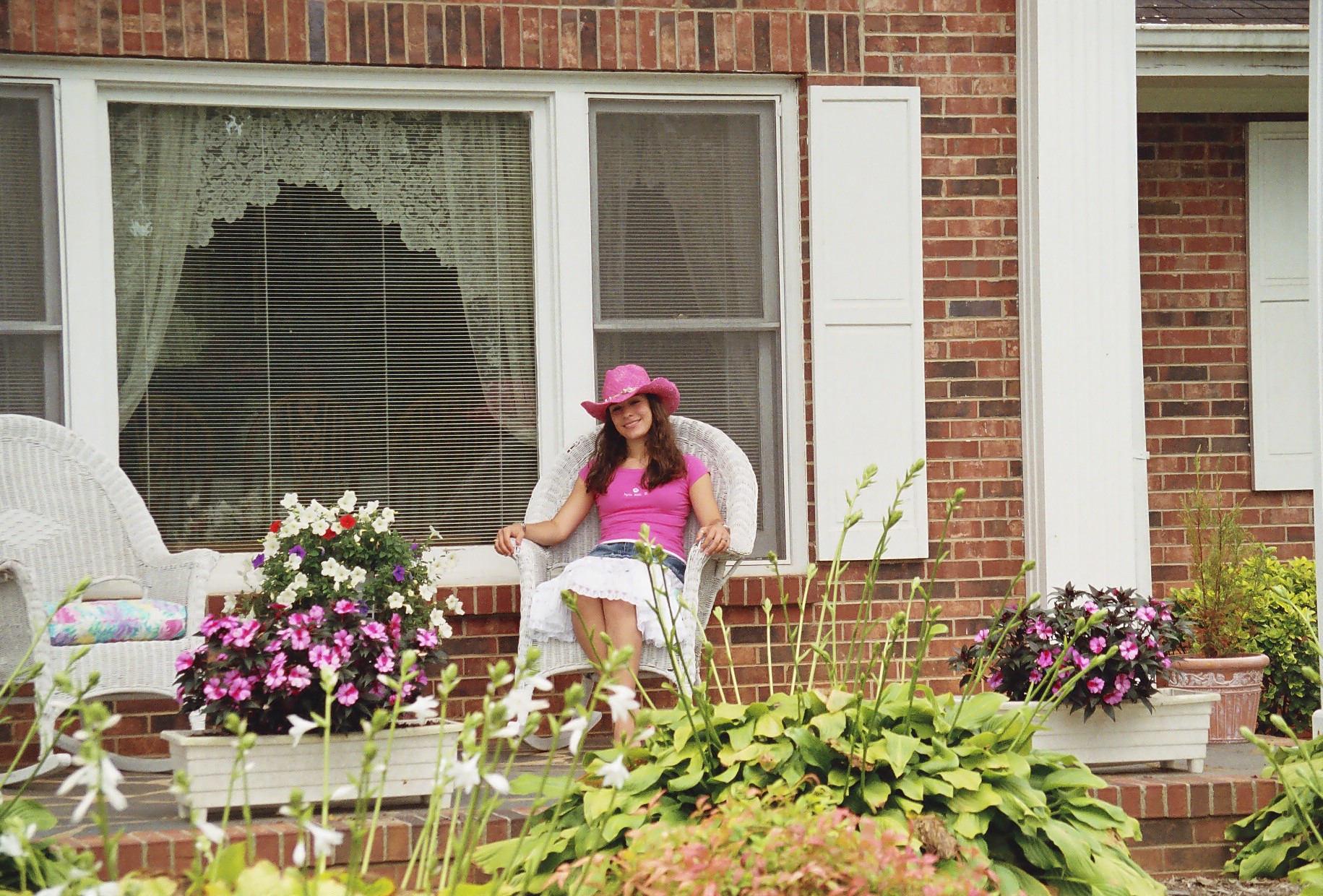
angel porch 2

Pilot Mountain
Rest Area with a view

home with a view
160415-0832 Lowgap-Pano
this view doesn't suck...

160415-0820 Lowgap-Pano
160415-0789 Lambsburg
View from W4C/WM-064 - Fisher Peak
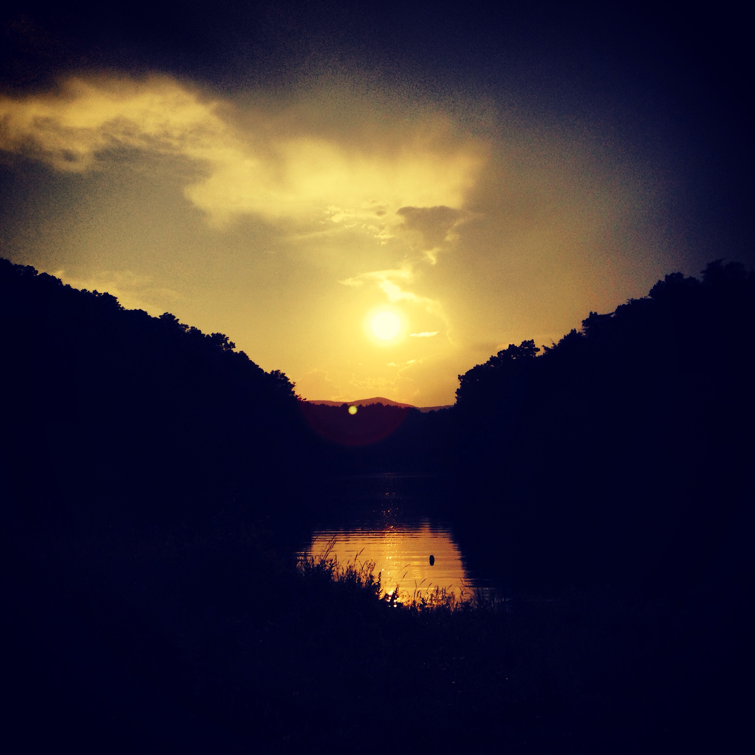
Sunset view from the point.
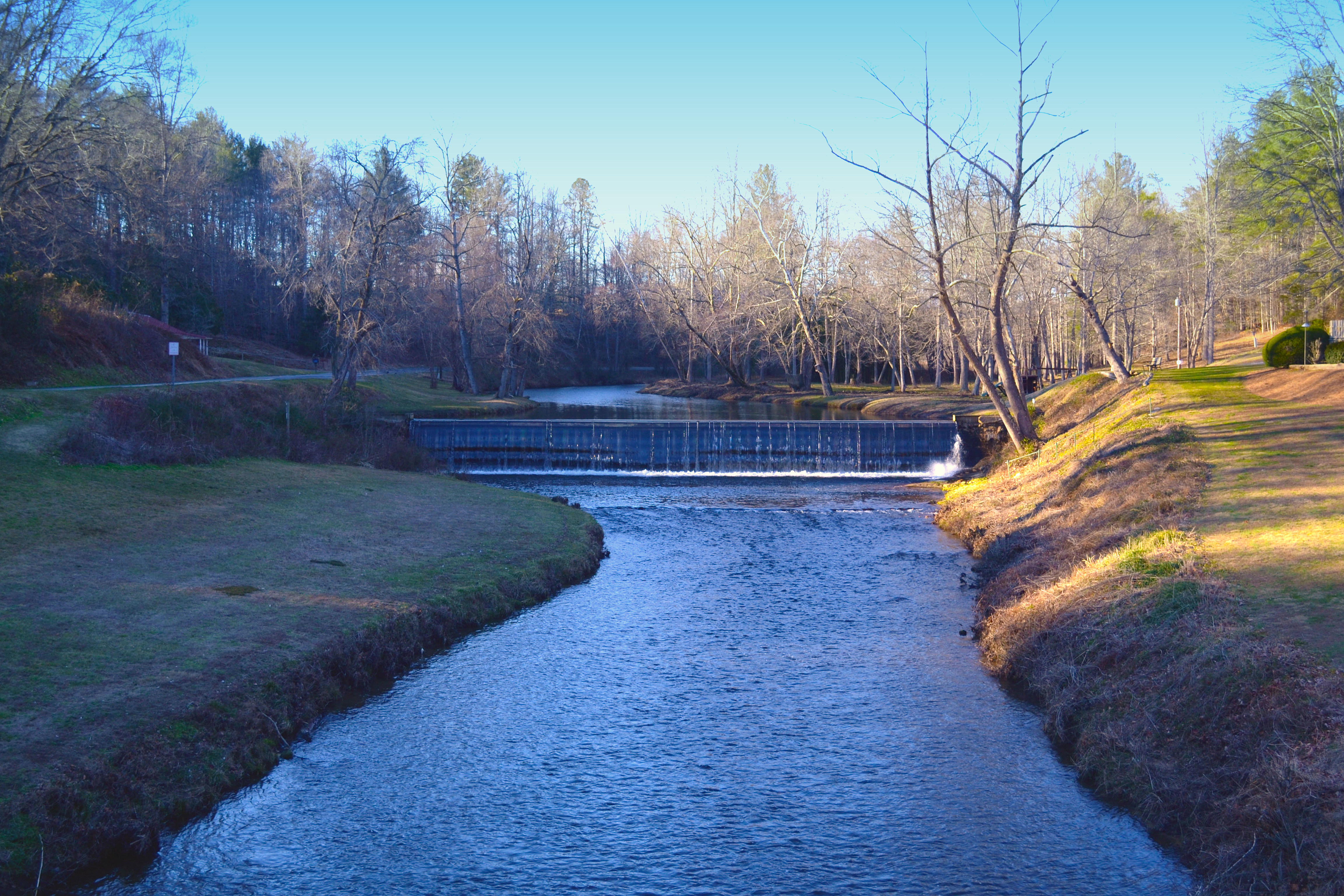
Kapps Mill, Mitchell River, Dobson NC, Surry County
img000925.png

Kapps Mill, Mitchell River, Dobson NC, Surry County
Beautiful Sunlight
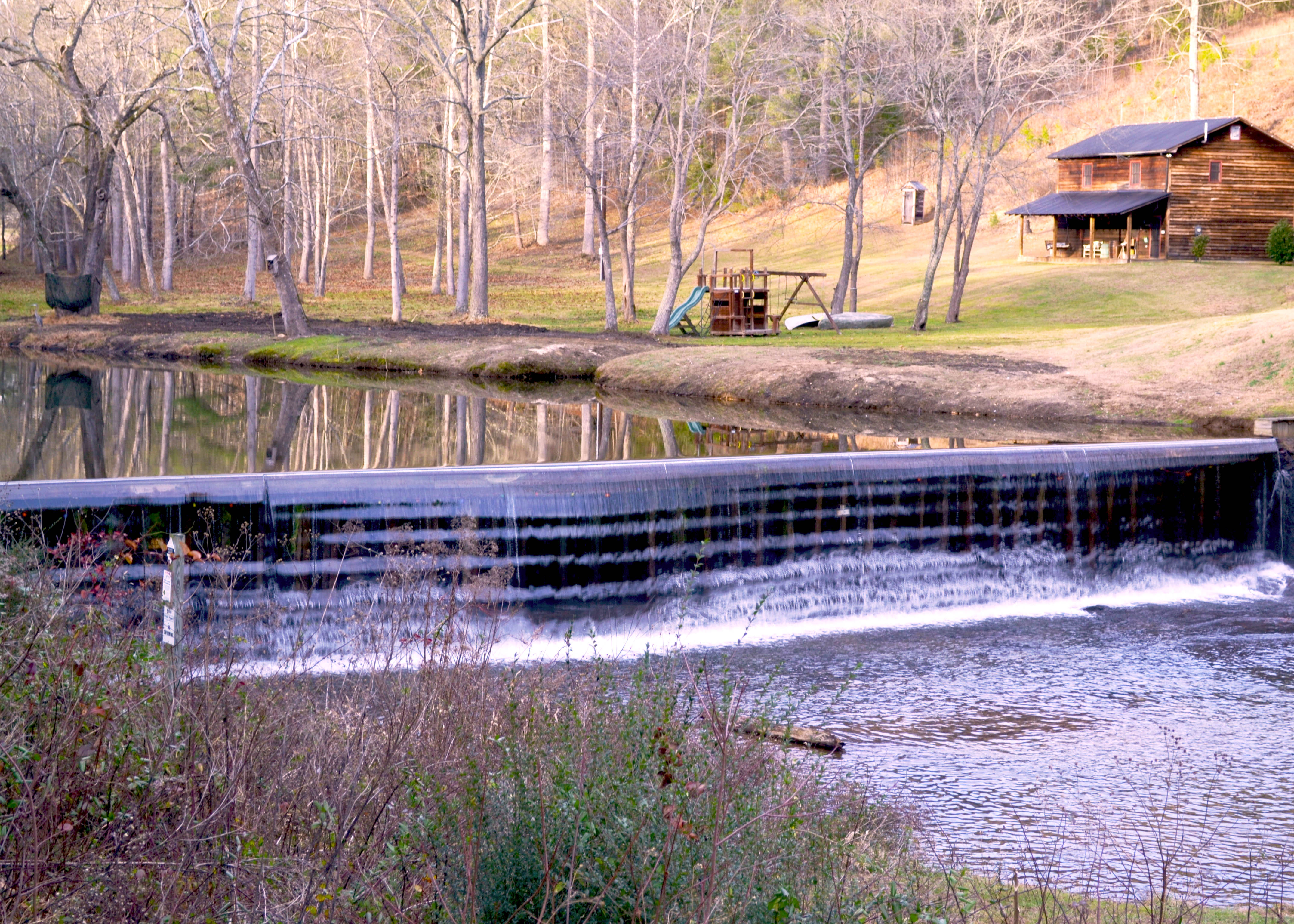
Kapps Mill, Mitchell River, Dobson NC, Surry County

Kapps Mill, Mitchell River, Dobson NC, Surry County
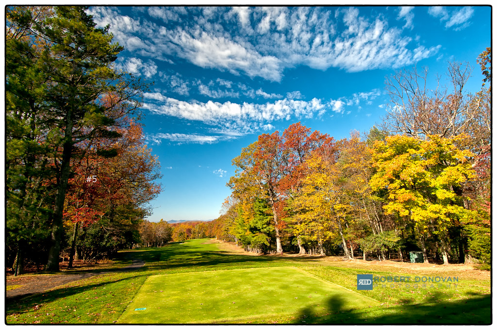
#5
RDW_3039.JPG

Kapps Mill, Mitchell River, Dobson NC, Surry County
RDW_3061.JPG

Blue Ridge Parkway, NC 20061016 047 Fox Hunters Paradise

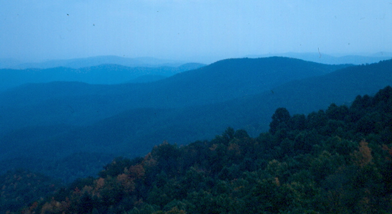
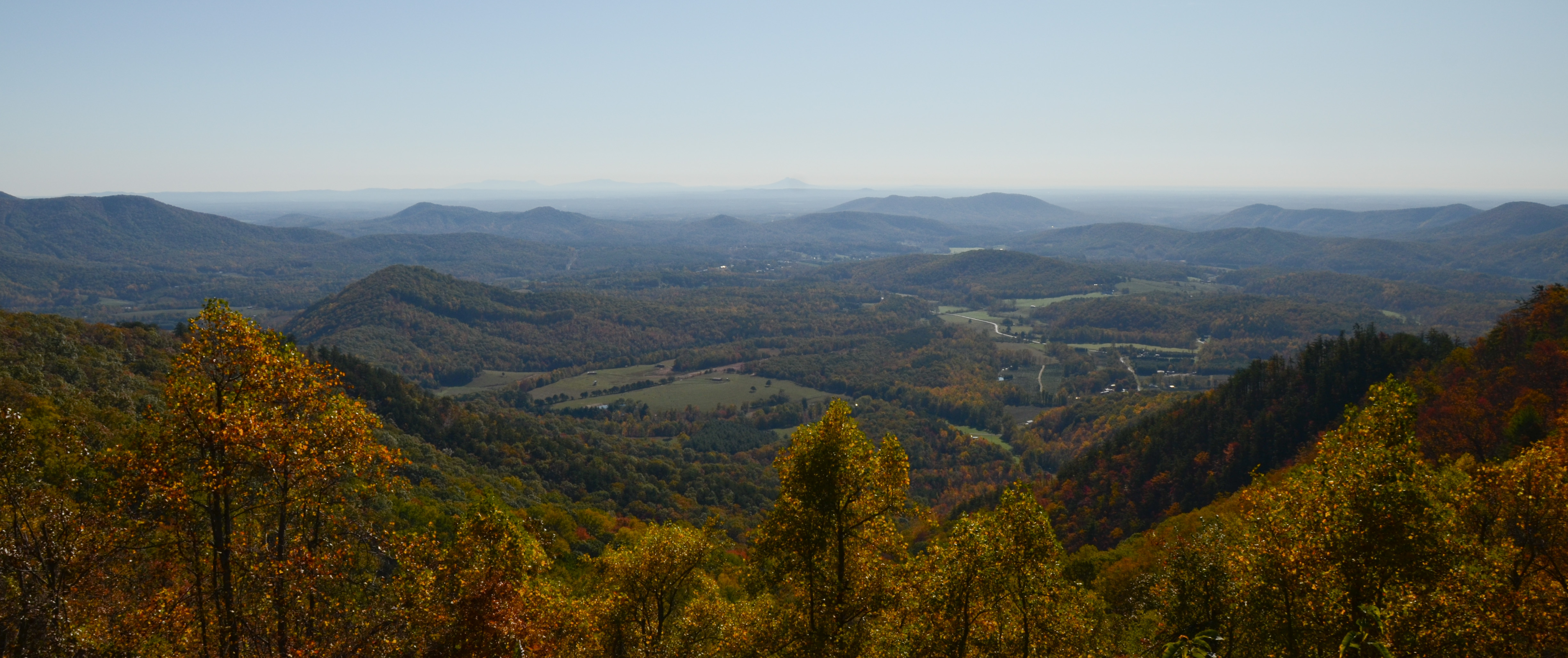
The Blue Ridge
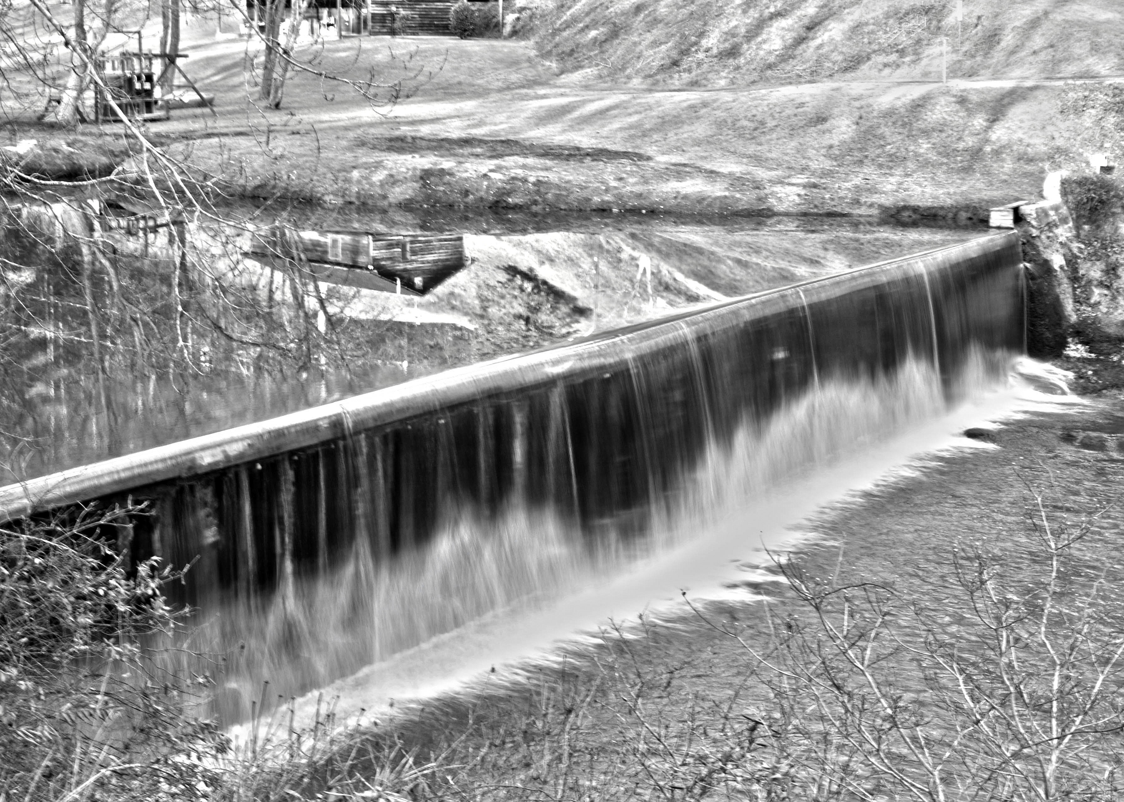
Kapps Mill, Mitchell River, Dobson NC, Surry County
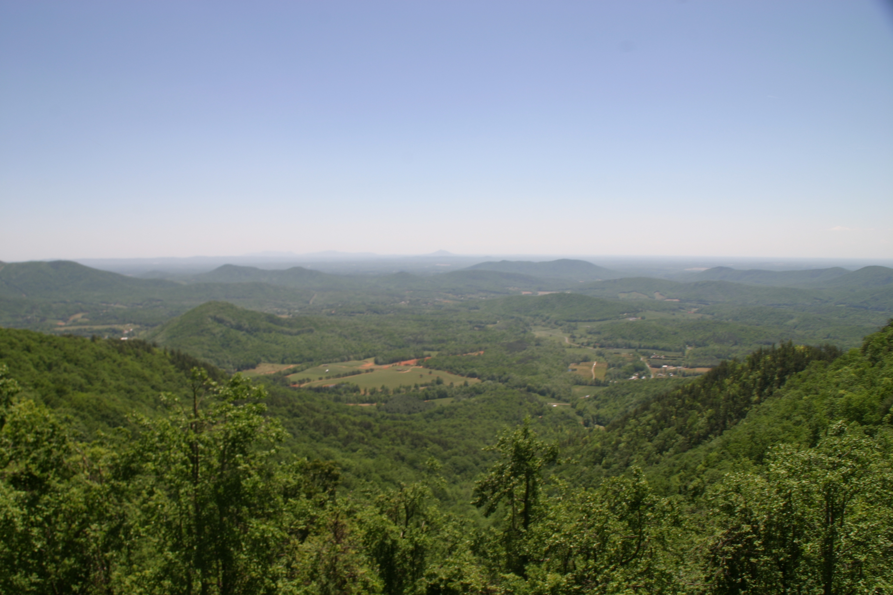
Blue Ridge Parkway (18)
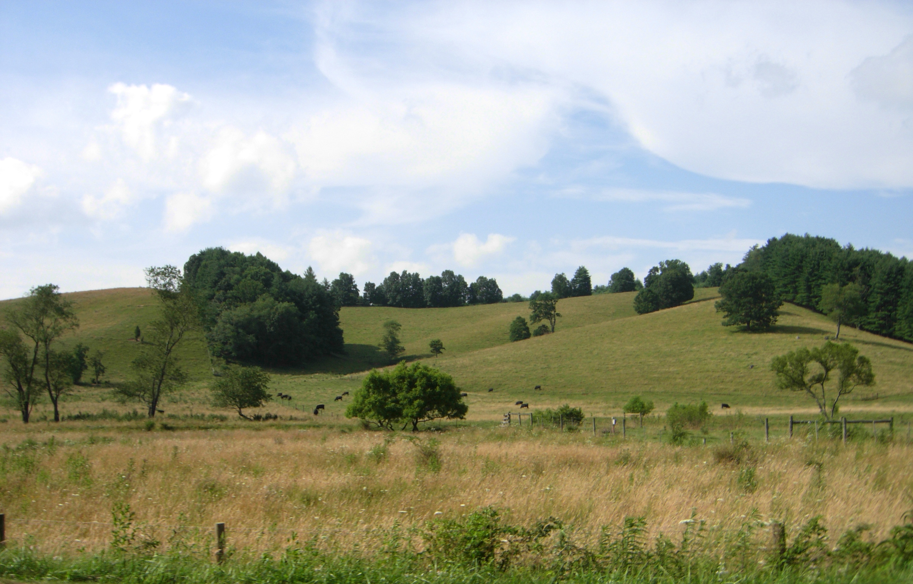
rolling hills and fragrant meadows
Blue Ridge Parkway (8)

img000916.png
Photos from throughout the week.
Photos from throughout the week.
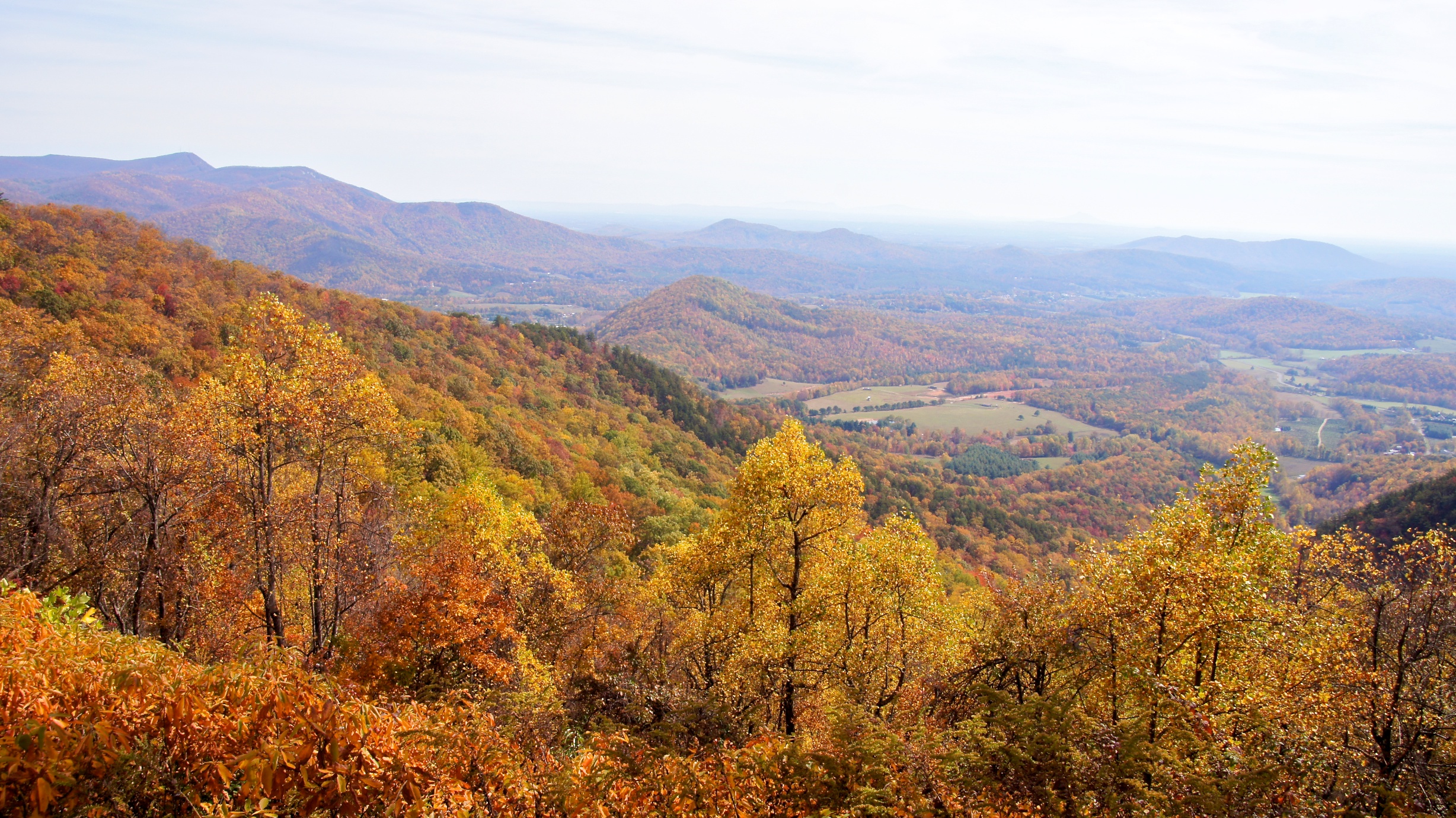
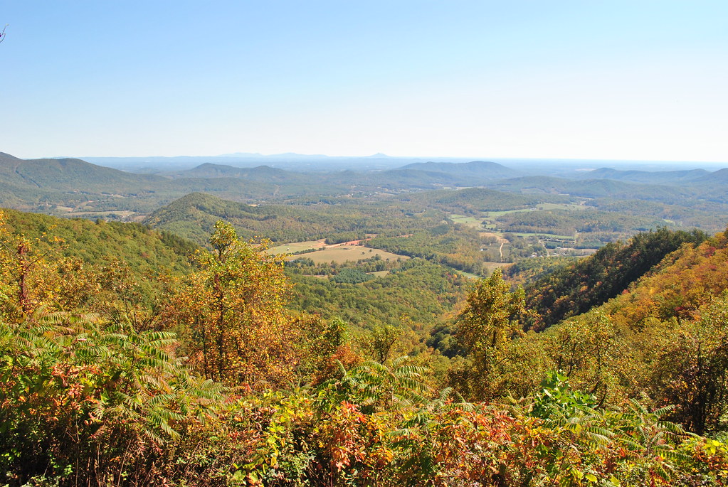
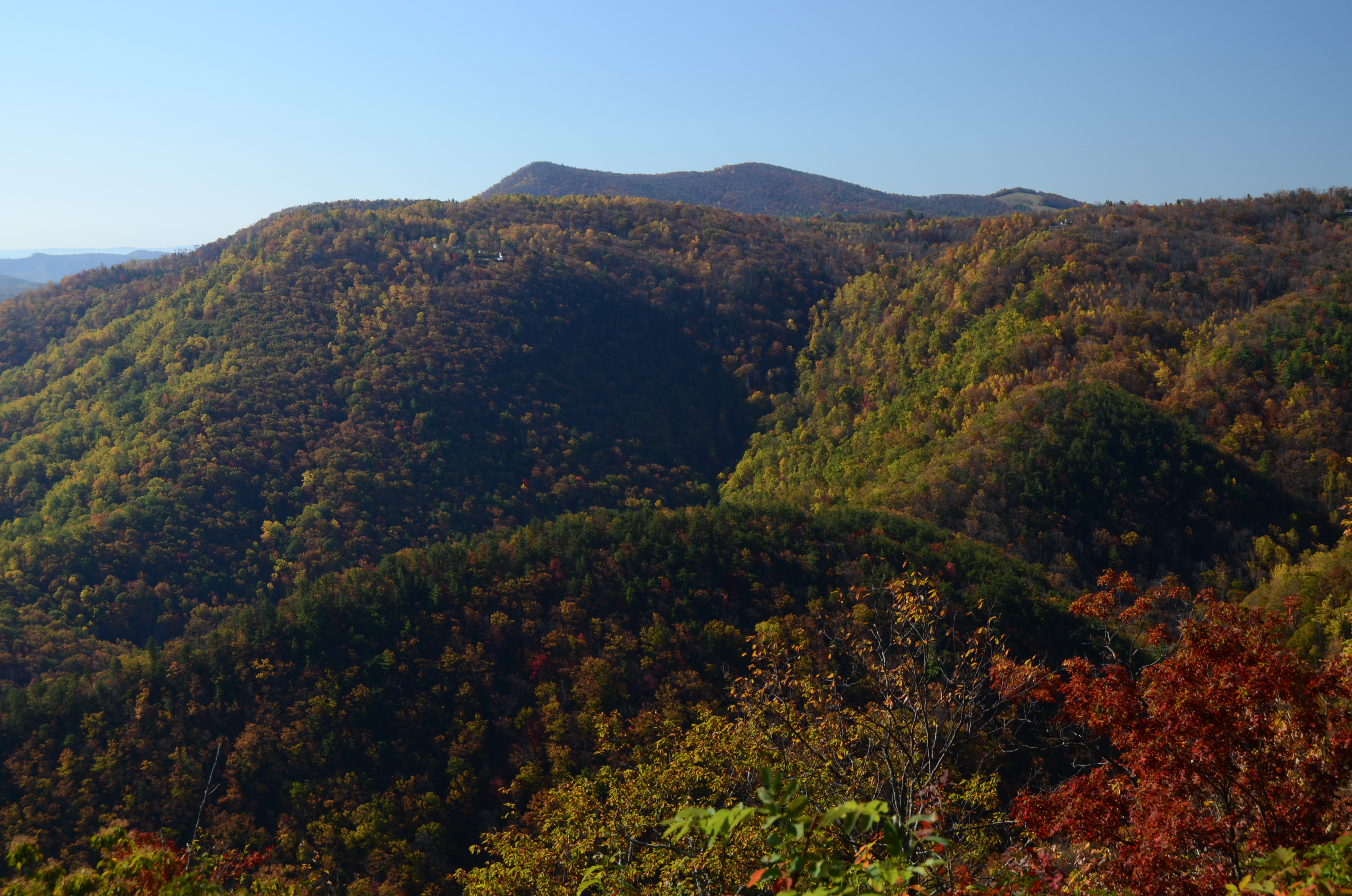
Fall foliage on the Blue Ridge Parkway
Topographic Map of Franklin, NC, USA
Find elevation by address:

Places in Franklin, NC, USA:
Places near Franklin, NC, USA:
Lowgap
9912 W Pine St
77 Cascades Ridge
2180 Saddle Mountain Church Rd
2350 Saddle Mountain Church Rd
Blue Ridge Parkway
10004 Glade Valley Rd
120 Lady Hawk Ln
9310 Glade Valley Rd
10779 Glade Valley Rd
498 Saddle View Rd
Devotion Estate Way, Dobson, NC, USA
286 Barrett Rd
12732 Nc-18
282 Griffith Rd
Bryan
230 Griffith Rd
514 Old Barrett Rd
59 Chelsea Ln
Old Barrett Rd, Ennice, NC, USA
Recent Searches:
- Elevation of Corso Fratelli Cairoli, 35, Macerata MC, Italy
- Elevation of Tallevast Rd, Sarasota, FL, USA
- Elevation of 4th St E, Sonoma, CA, USA
- Elevation of Black Hollow Rd, Pennsdale, PA, USA
- Elevation of Oakland Ave, Williamsport, PA, USA
- Elevation of Pedrógão Grande, Portugal
- Elevation of Klee Dr, Martinsburg, WV, USA
- Elevation of Via Roma, Pieranica CR, Italy
- Elevation of Tavkvetili Mountain, Georgia
- Elevation of Hartfords Bluff Cir, Mt Pleasant, SC, USA