Elevation of Franklin County, TN, USA
Location: United States > Tennessee >
Longitude: -86.052960
Latitude: 35.1946865
Elevation: 304m / 997feet
Barometric Pressure: 98KPa
Elevation Map:
Satellite Map:
Related Photos:

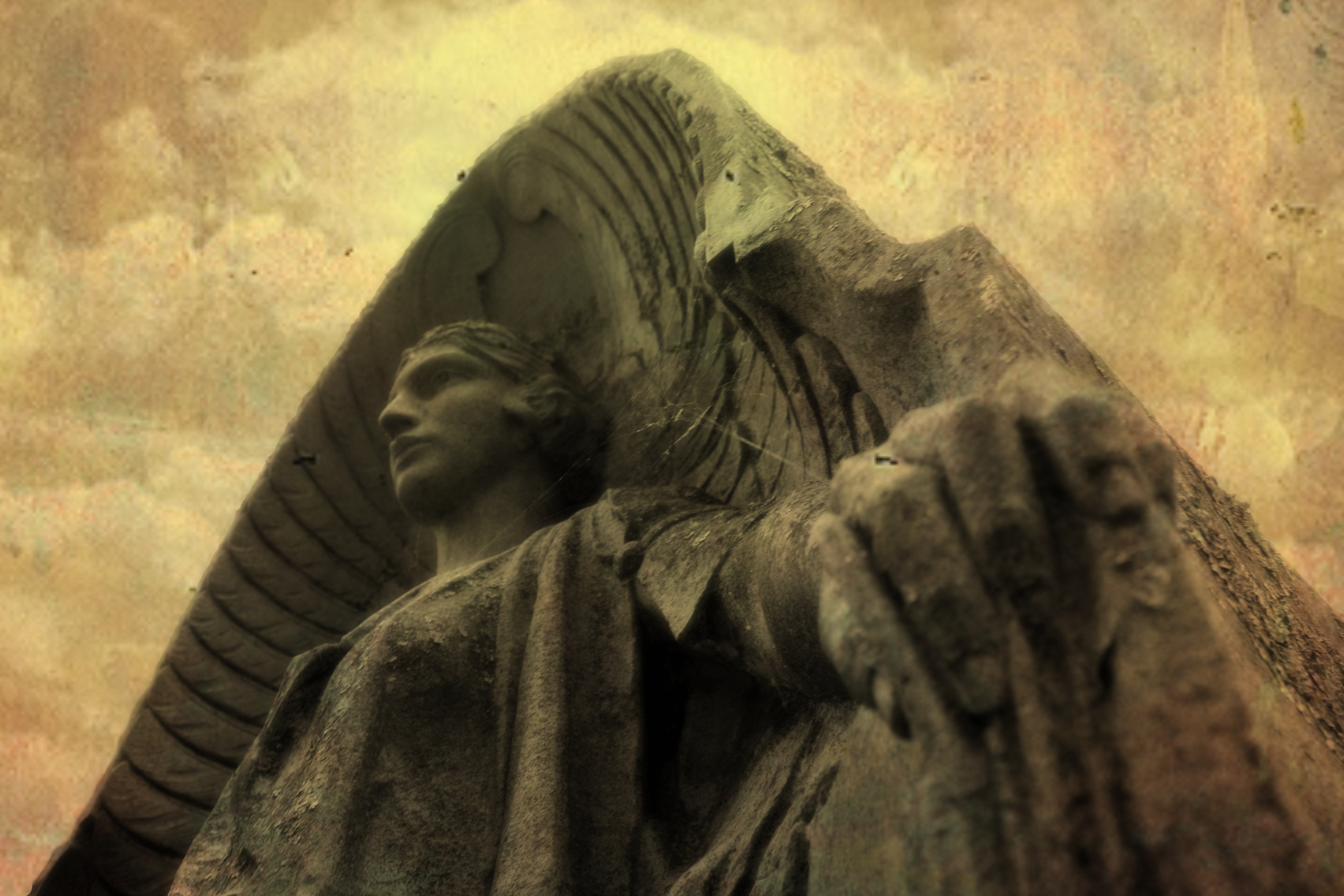
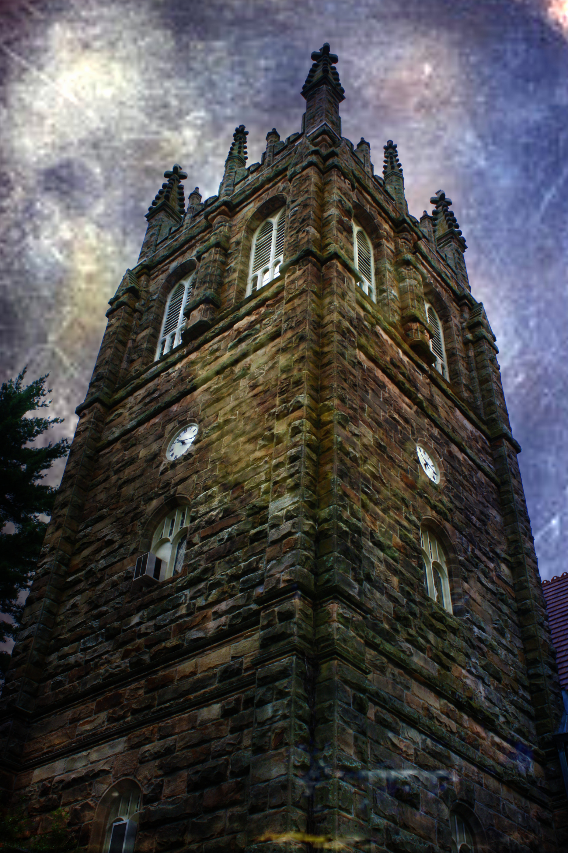
Horror Scene
Sewanee - February 6, 2016
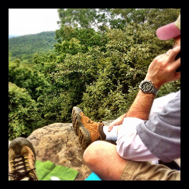
Our picnic spot on Sewanee's campus (The University of the South) during our hike on the Perimeter Trail. We spent a wonderful 4 days, 3 nights in Little Bear Cabin in Monteagle, TN. The views were spectacular, from the cabin and in our many hikes. Planni
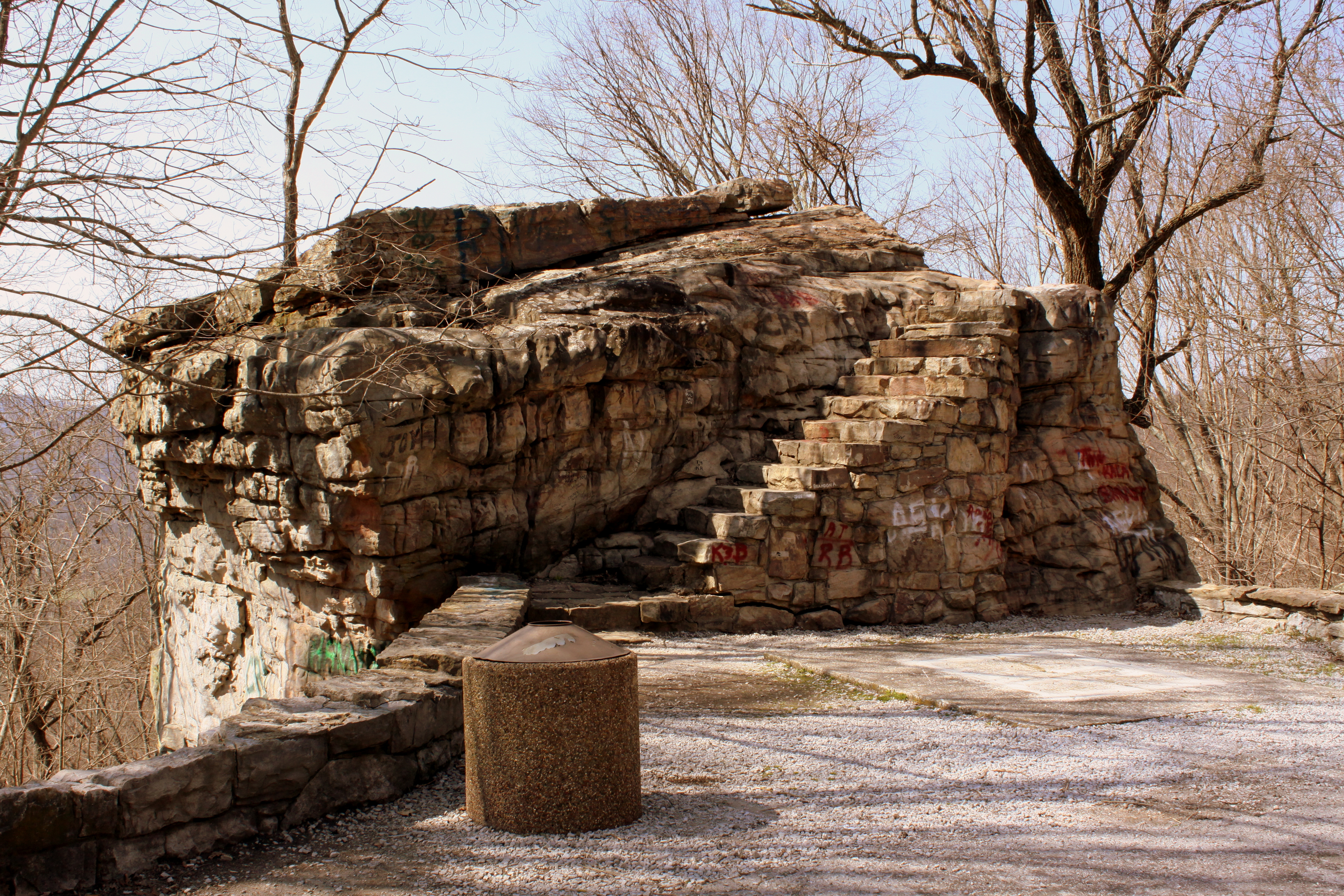
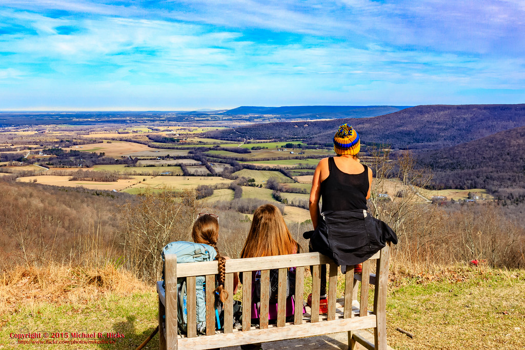
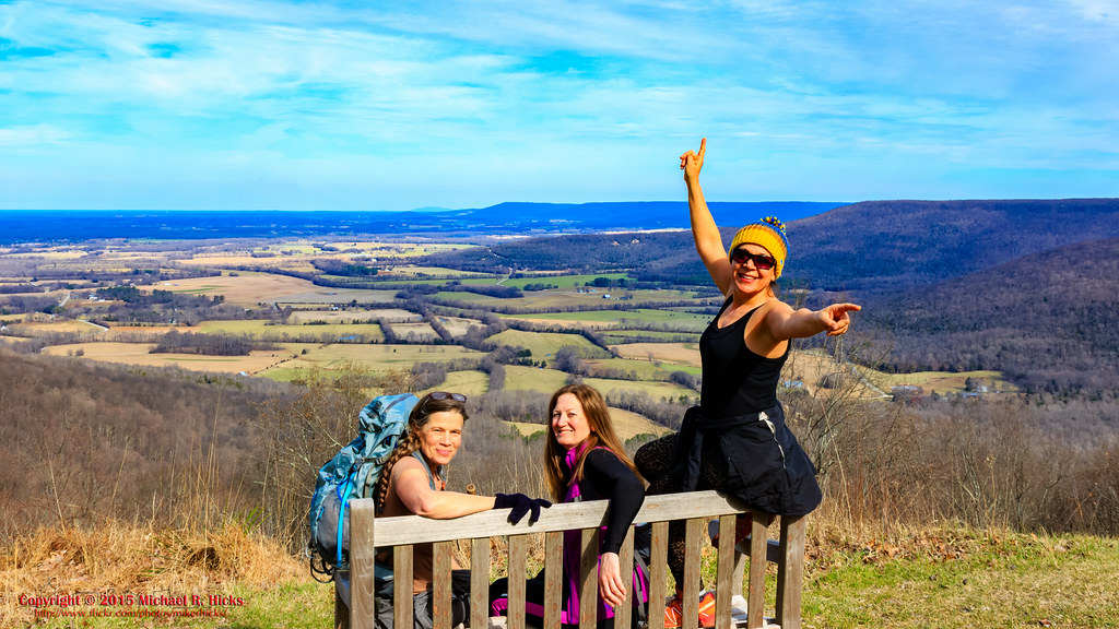
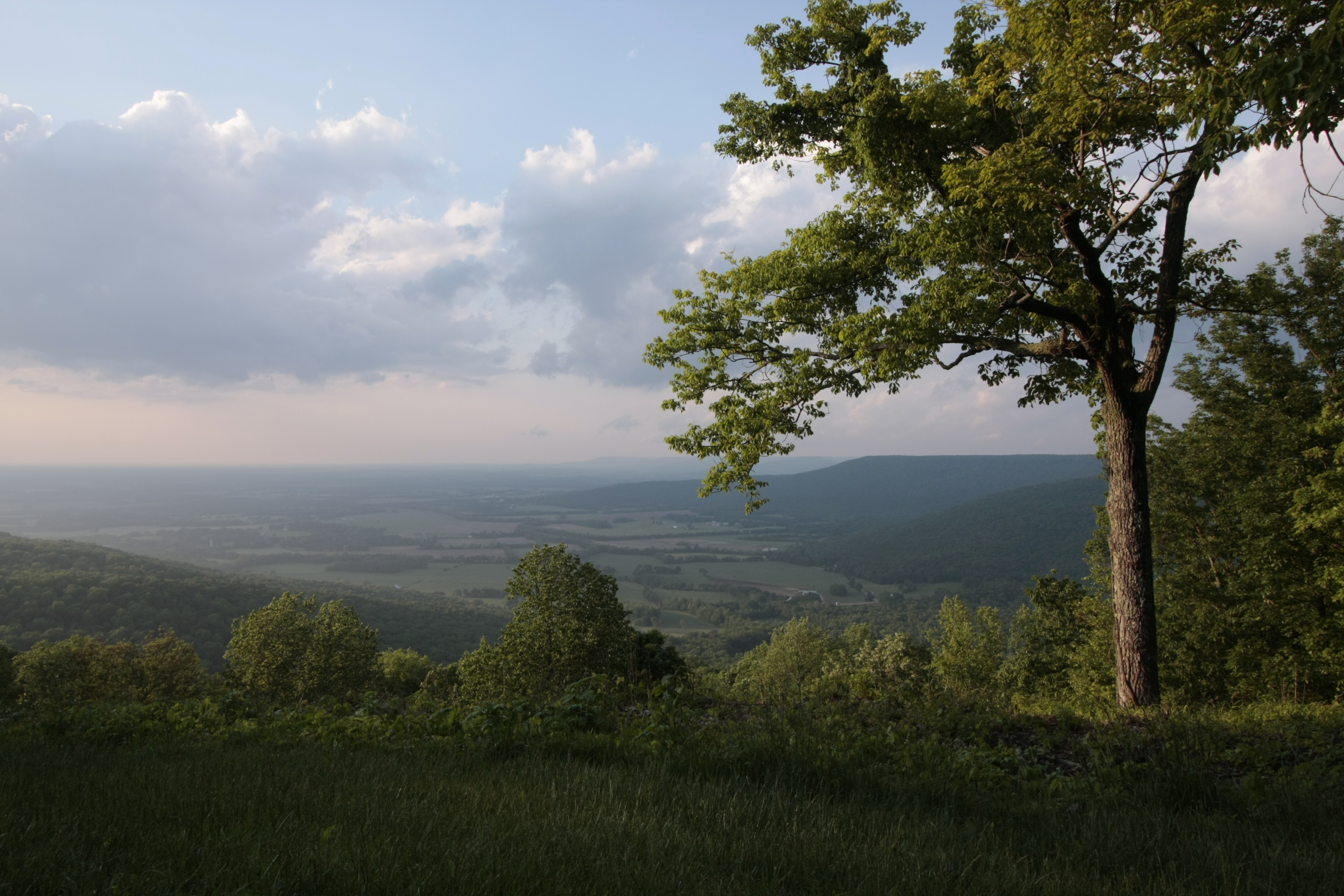
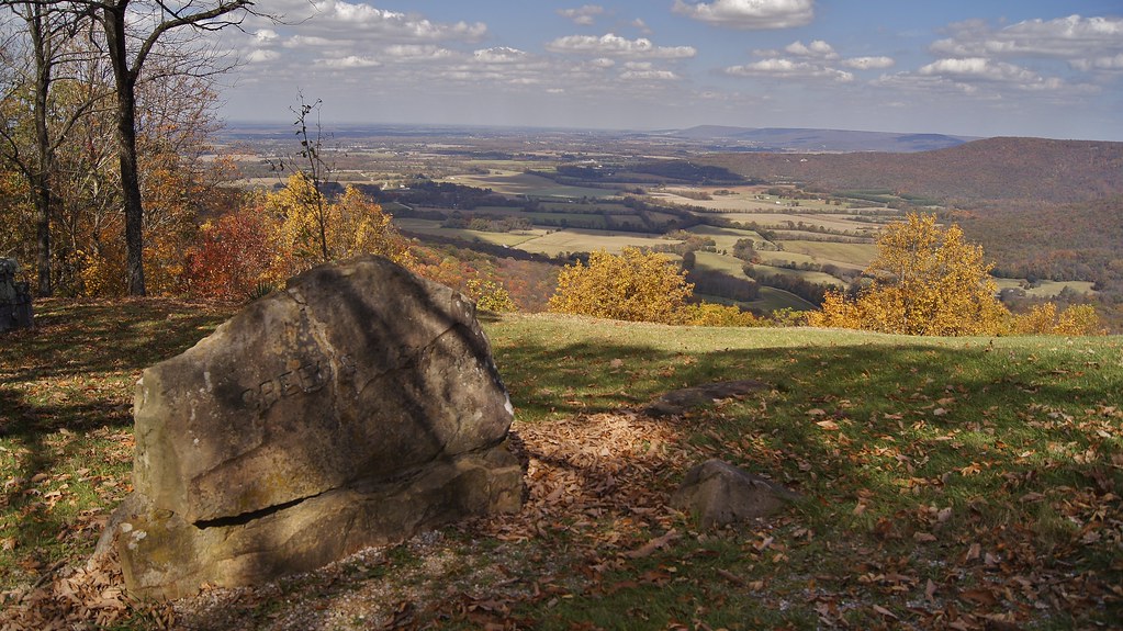
Big Rock & Scenic Overlook - Sewanee, TN

Green's View Road
Sewanee - February 6, 2016
Sewanee - February 6, 2016
Brace for Death

Airport Sunset
Sewanee - February 6, 2016

The War Memorial Cross, Sewanee,Tennessee
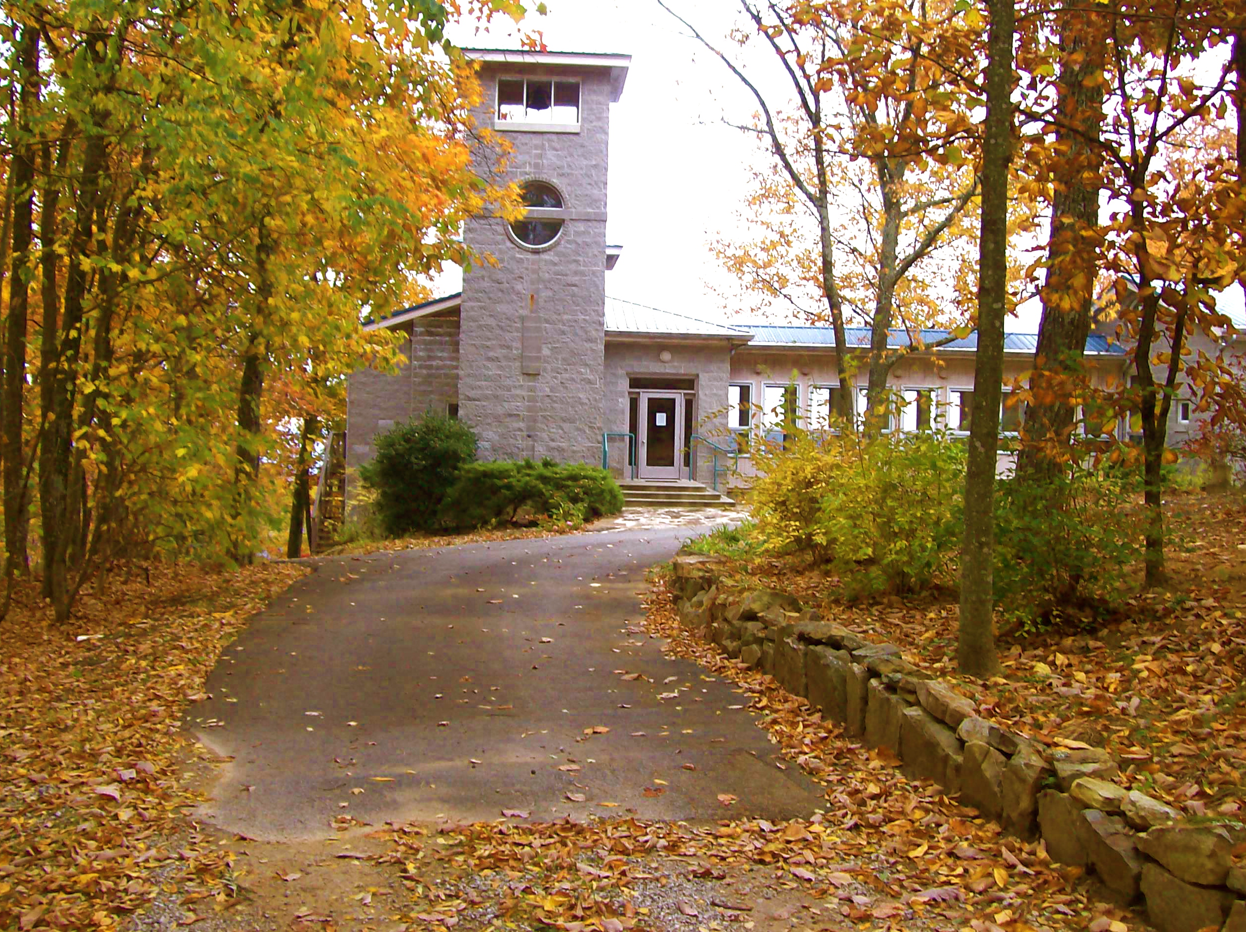
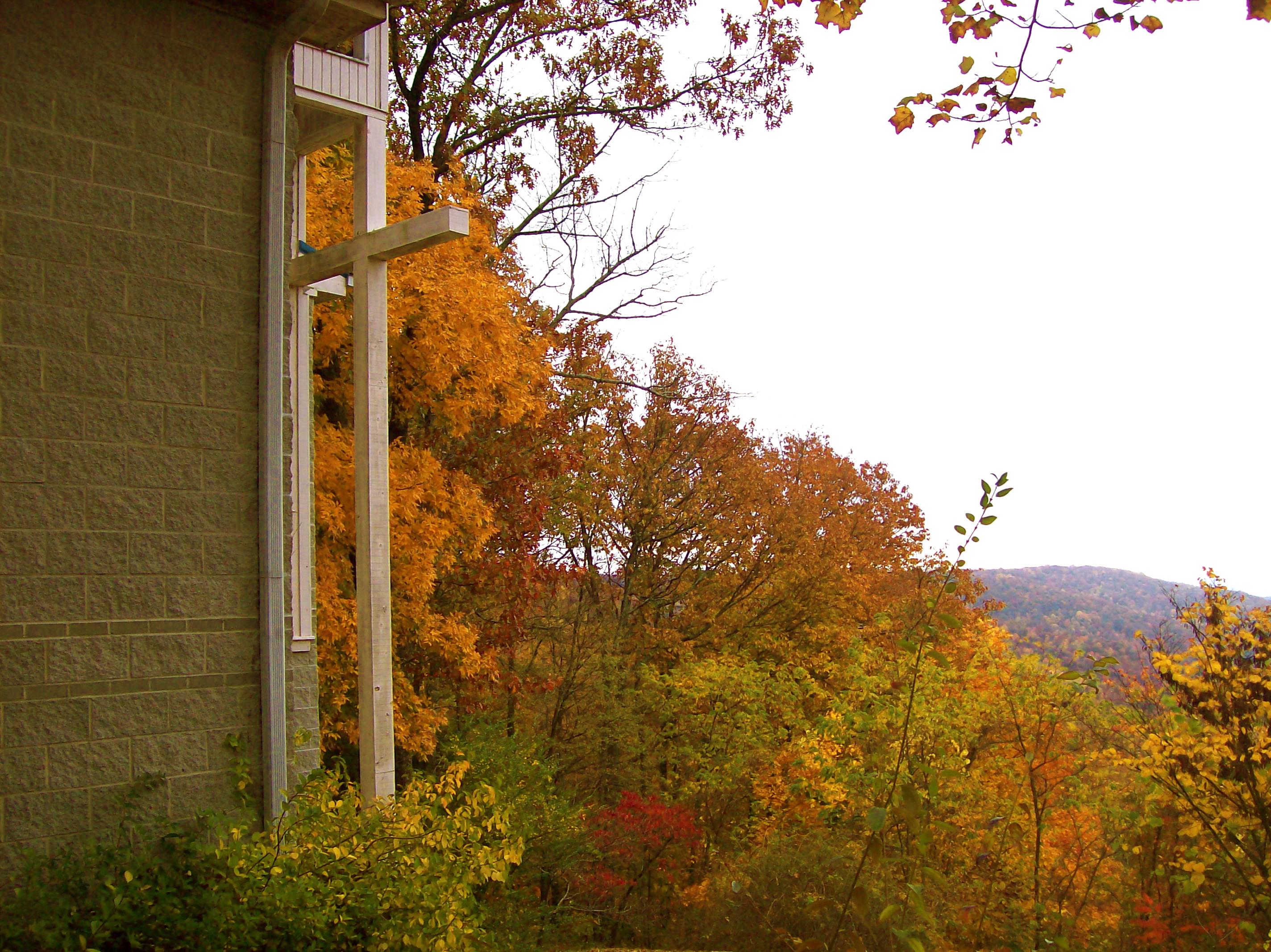
St. Mary's Convent, Sewanee

Ferris Wheel Cars: Fair's Final Night
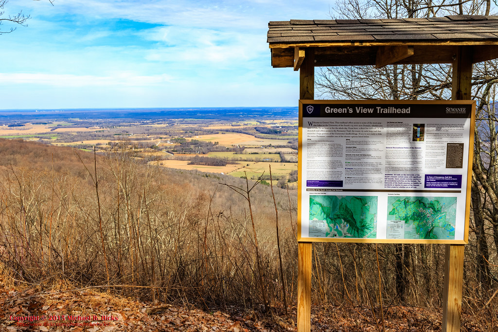
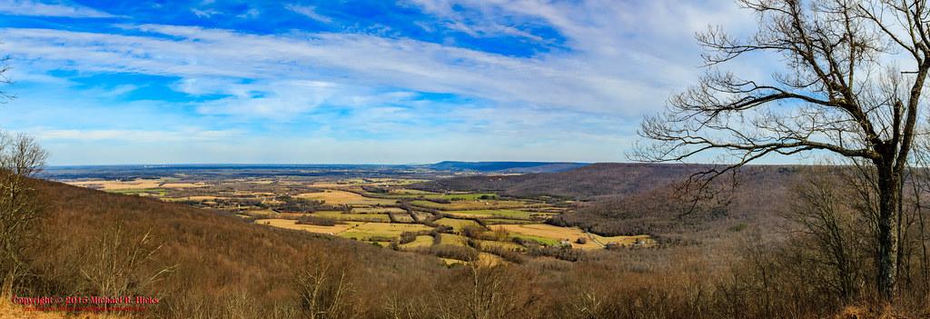
Green's View
At The Foot of Breslin

Franklin County, TN Courthouse - Winchester, TN
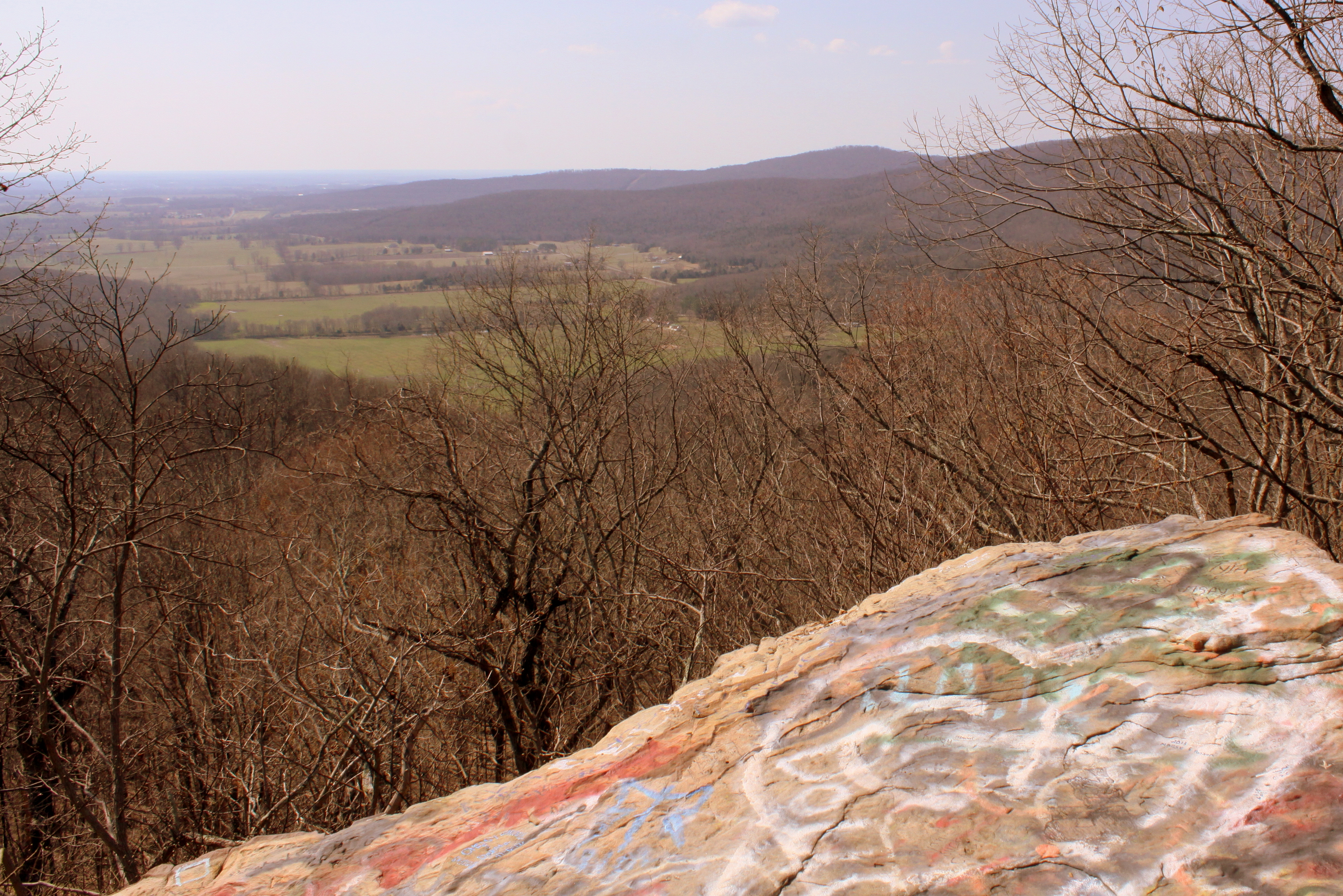
Big Rock & Scenic Overlook - Sewanee, TN
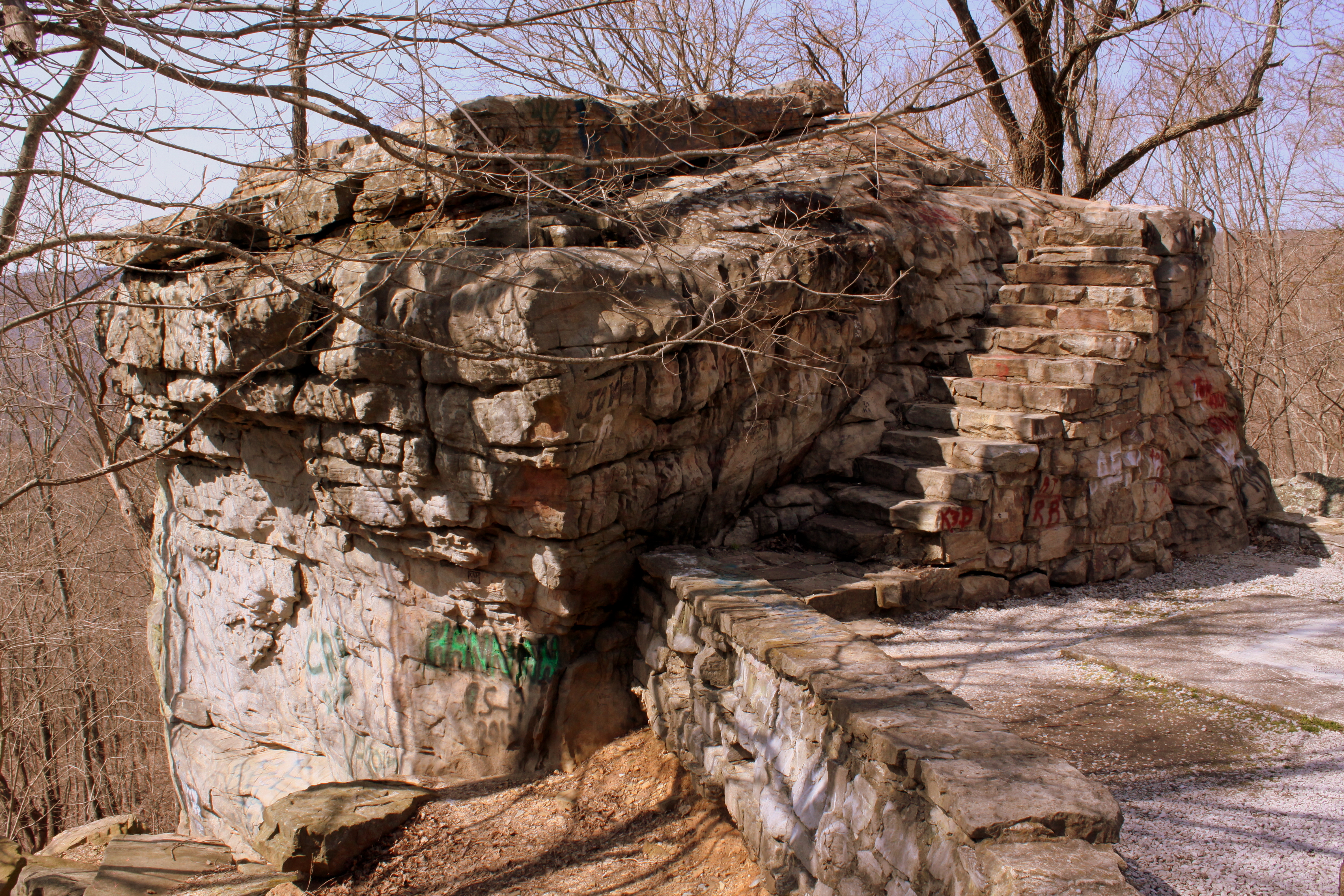
Big Rock & Scenic Overlook - Sewanee, TN
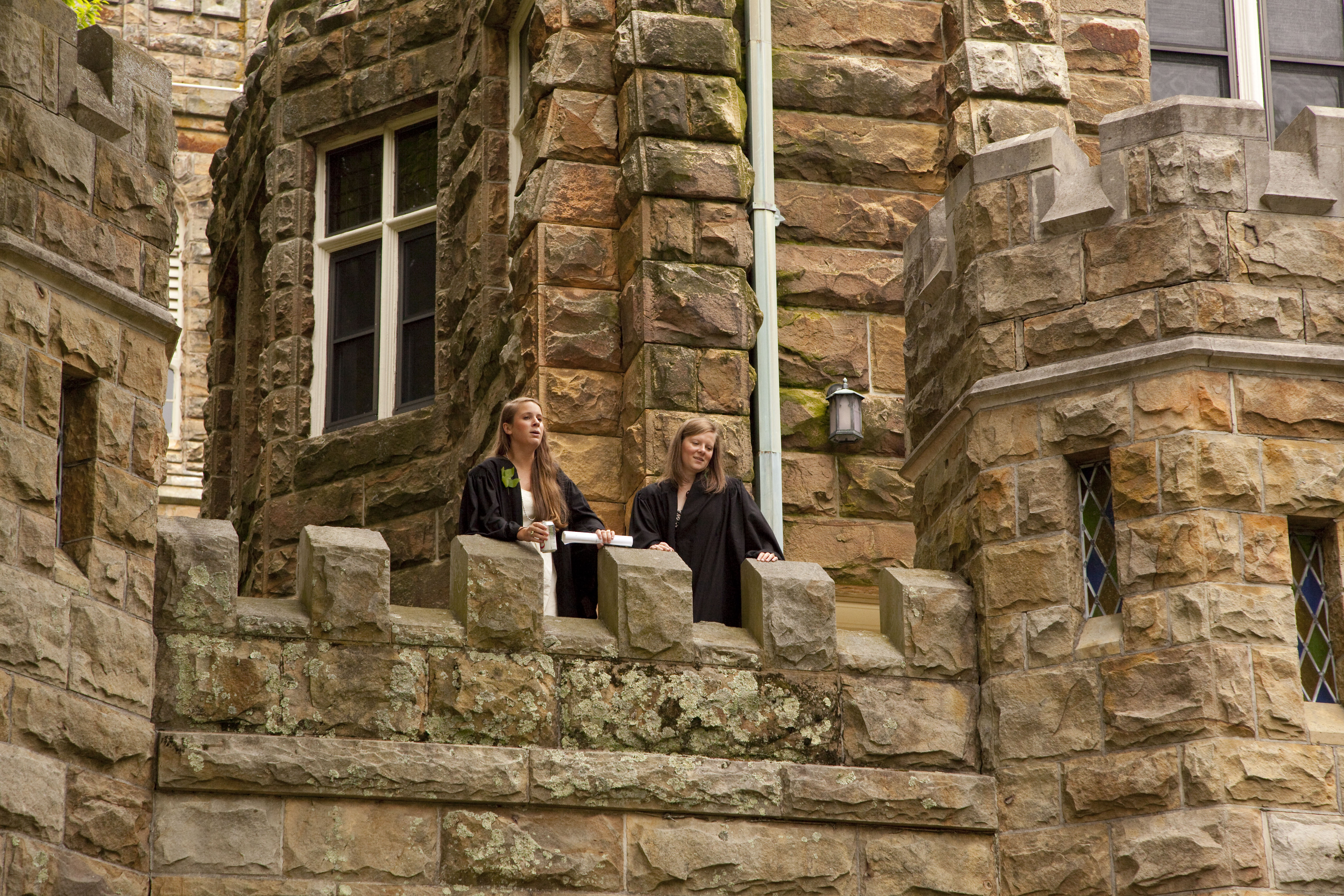
Commencement 2009
St. Mary's Convent
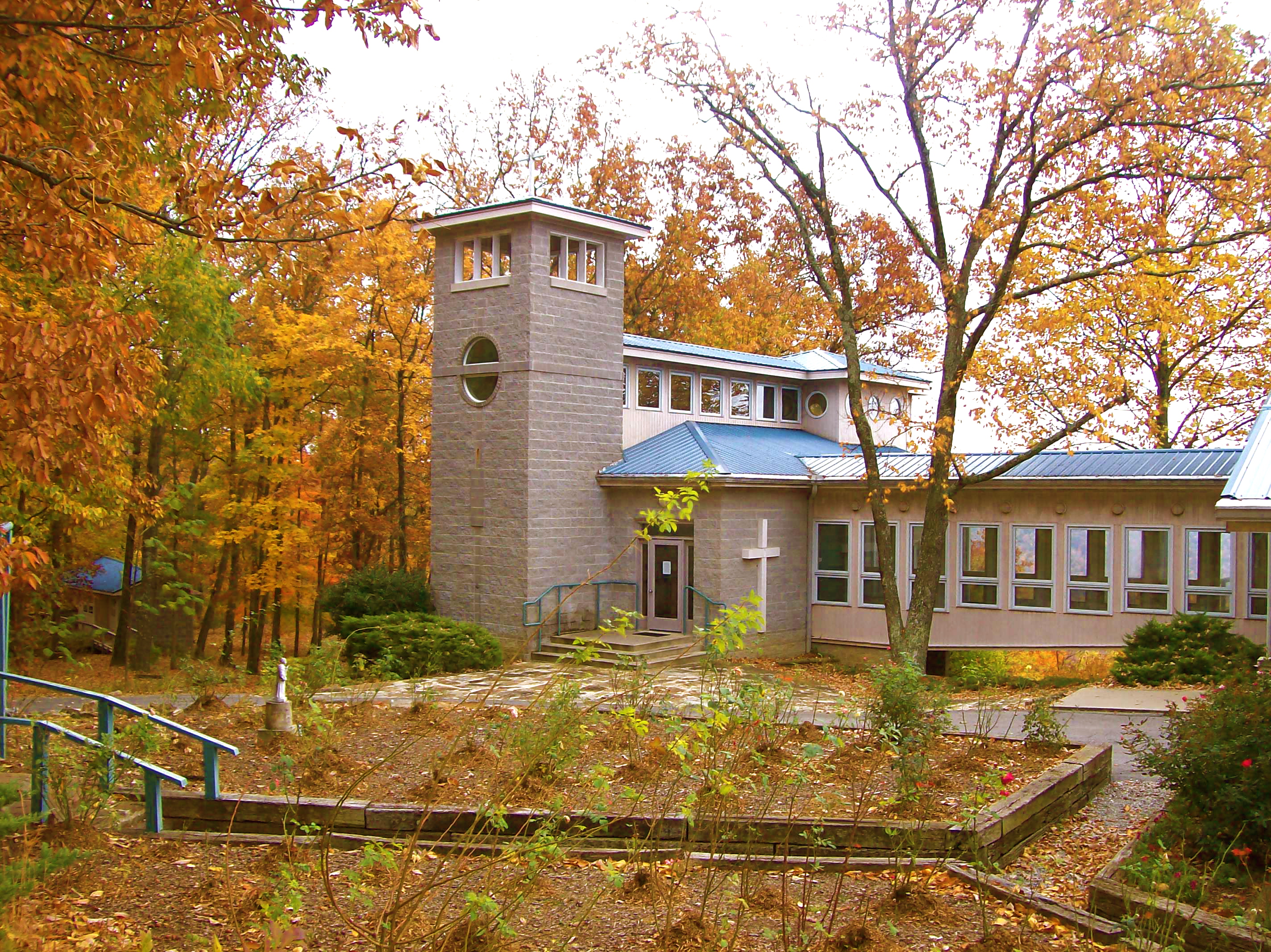
St. Mary's Convent
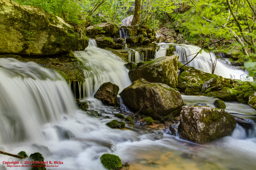
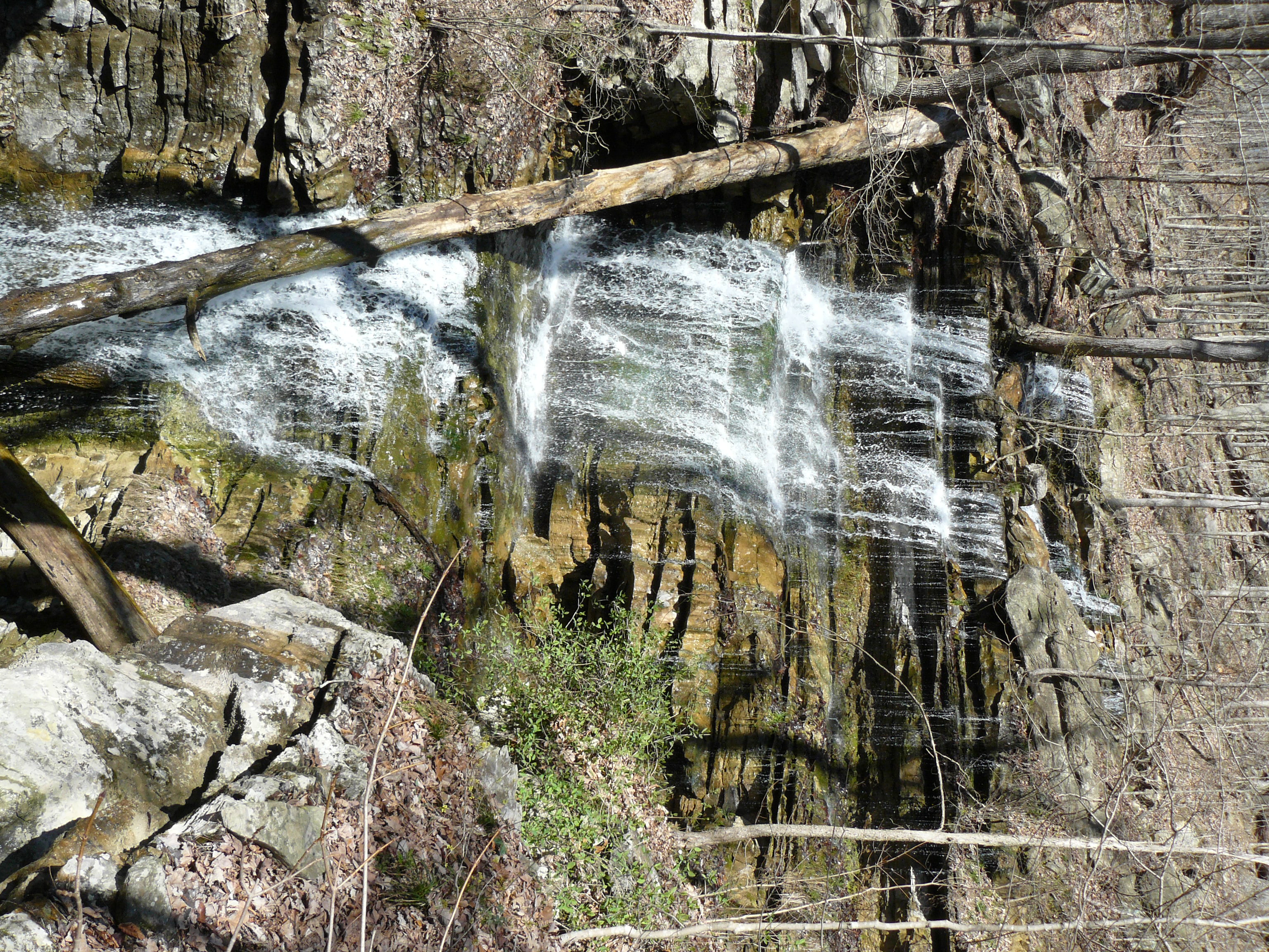
Lost Cove Cascades - May 4, 2014
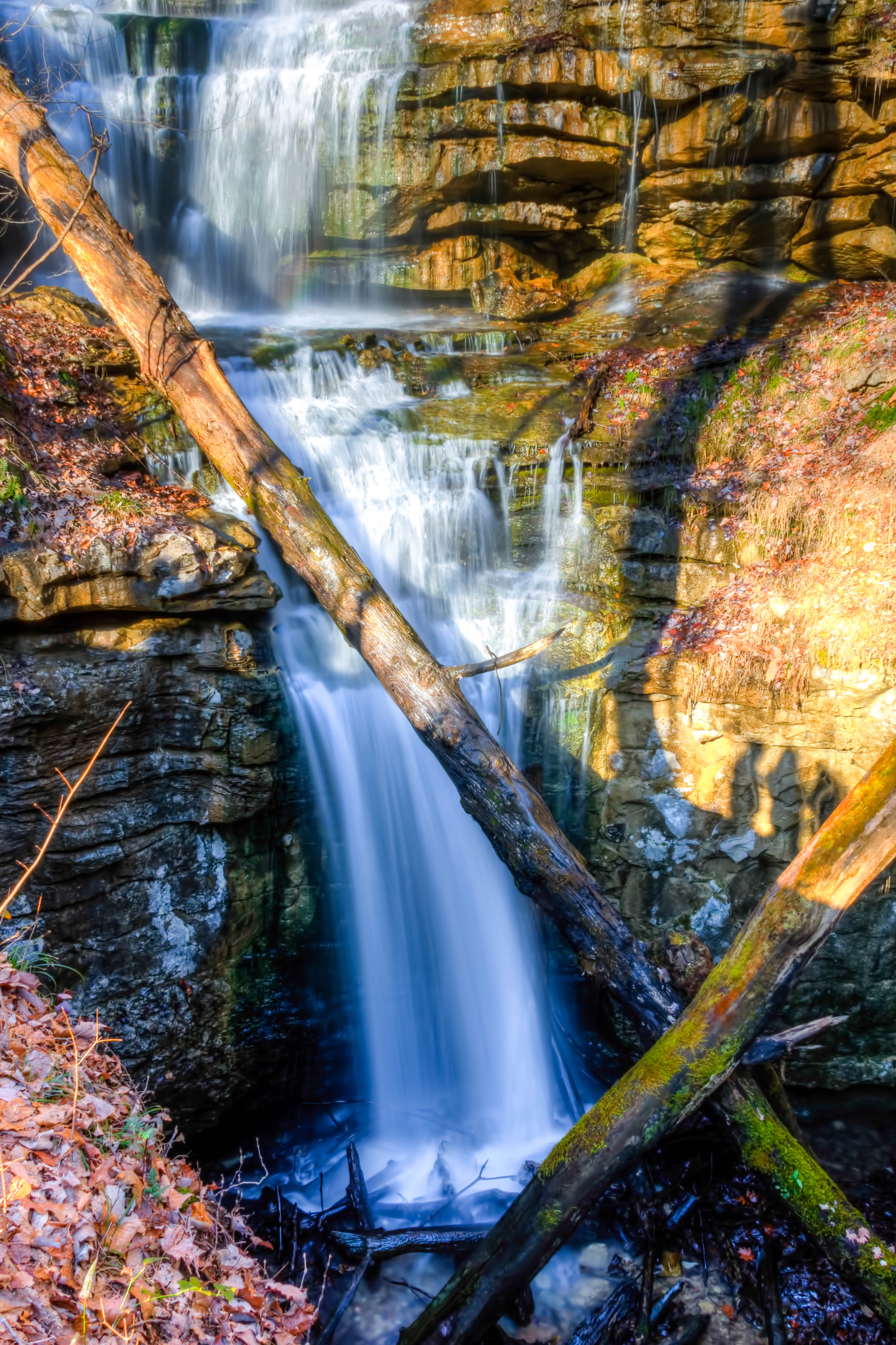
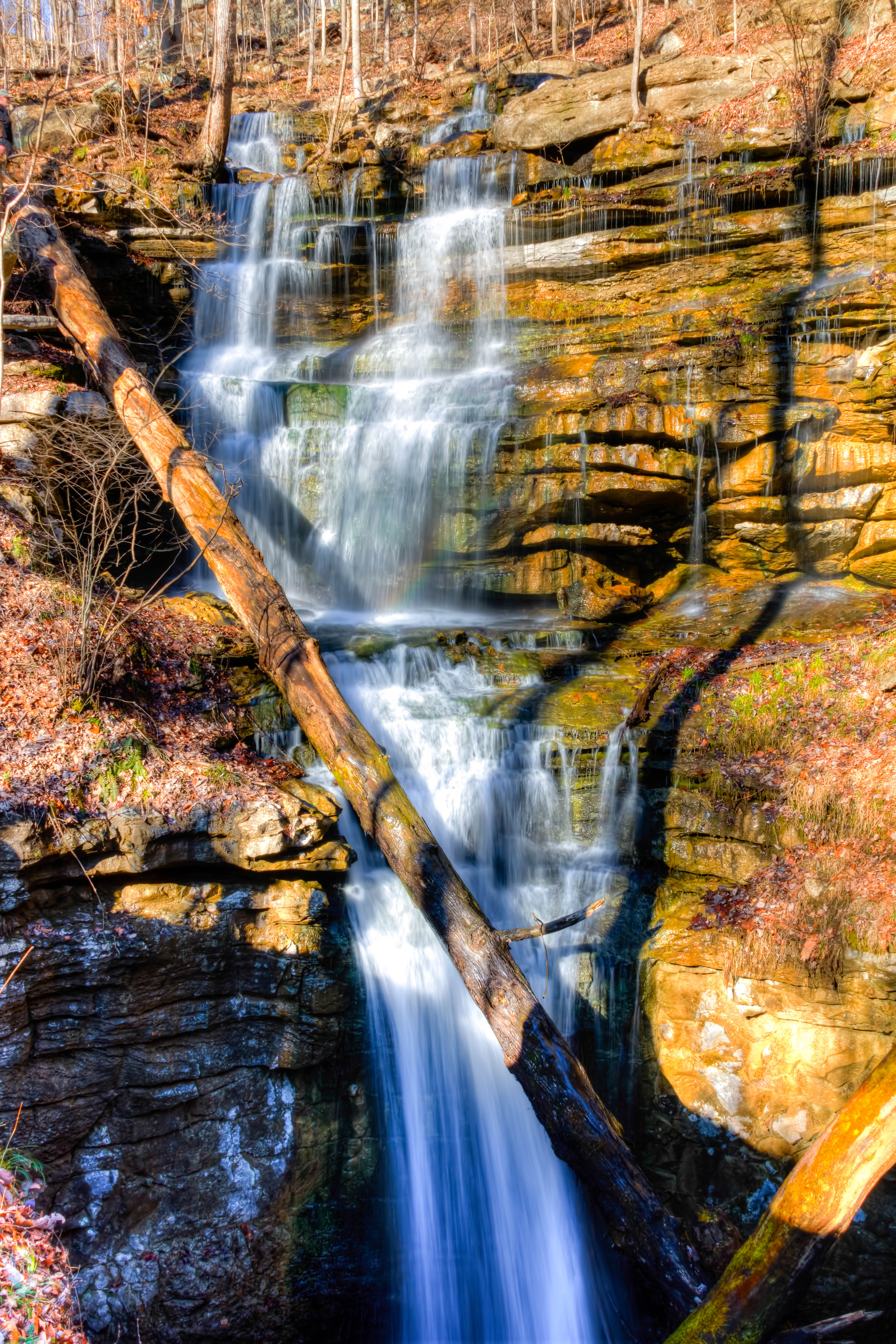
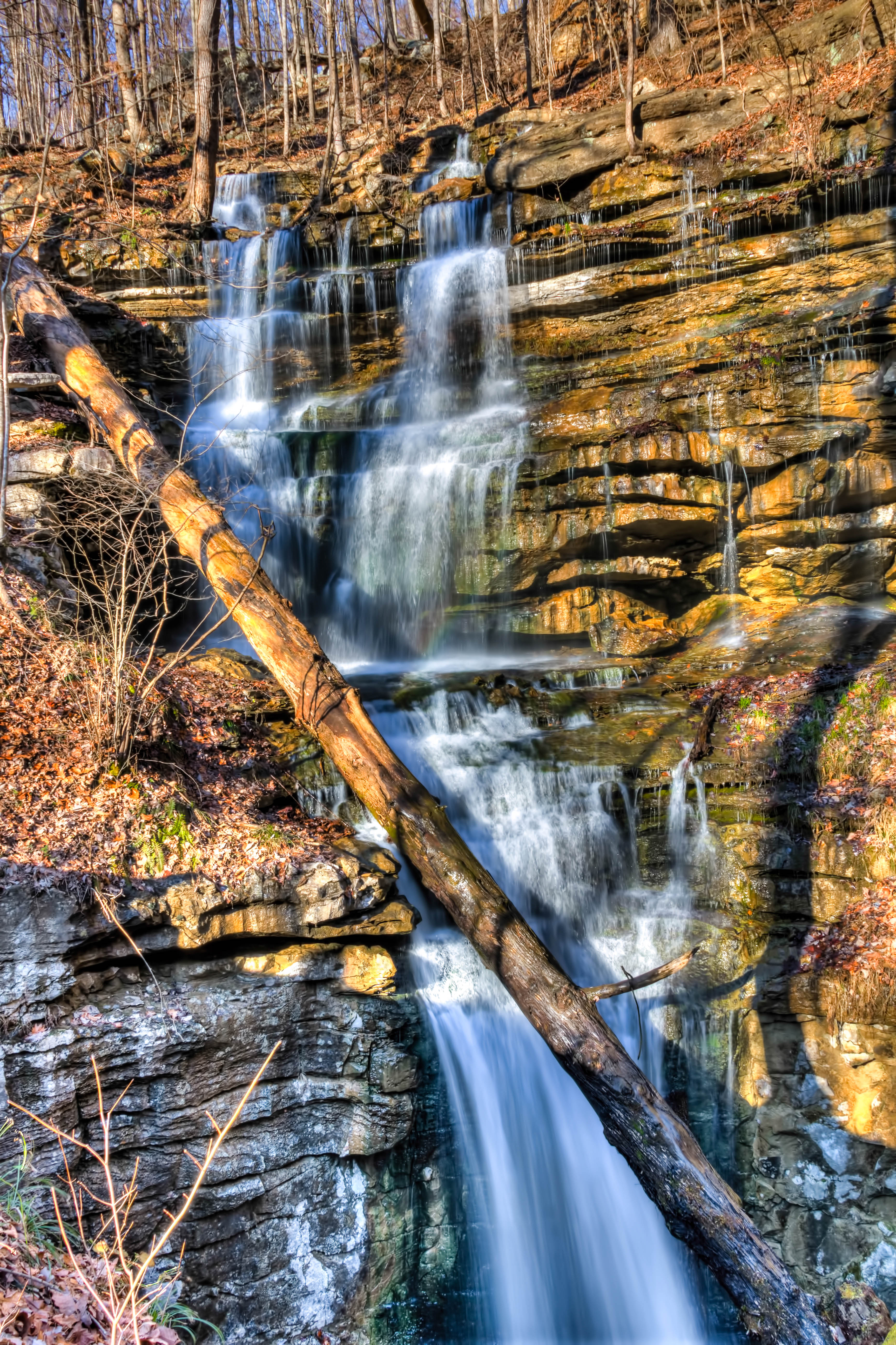
Sewanee Southern Section Perimeter Trail - Bridal Veil Falls
Sewanee Southern Section Perimeter Trail - Bridal Veil Falls

All Saints Chapel
Bridal Veil Falls - Sewanee
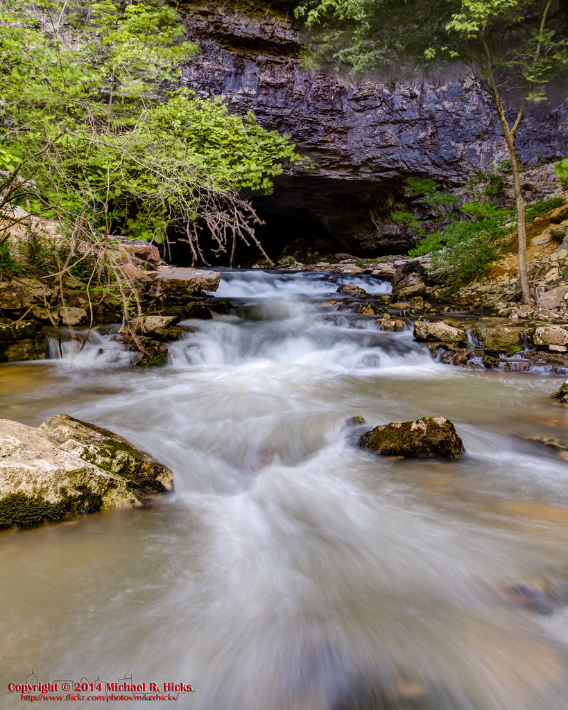
Lost Cove Cascades out of Buggy Top Cave - May 4, 2014
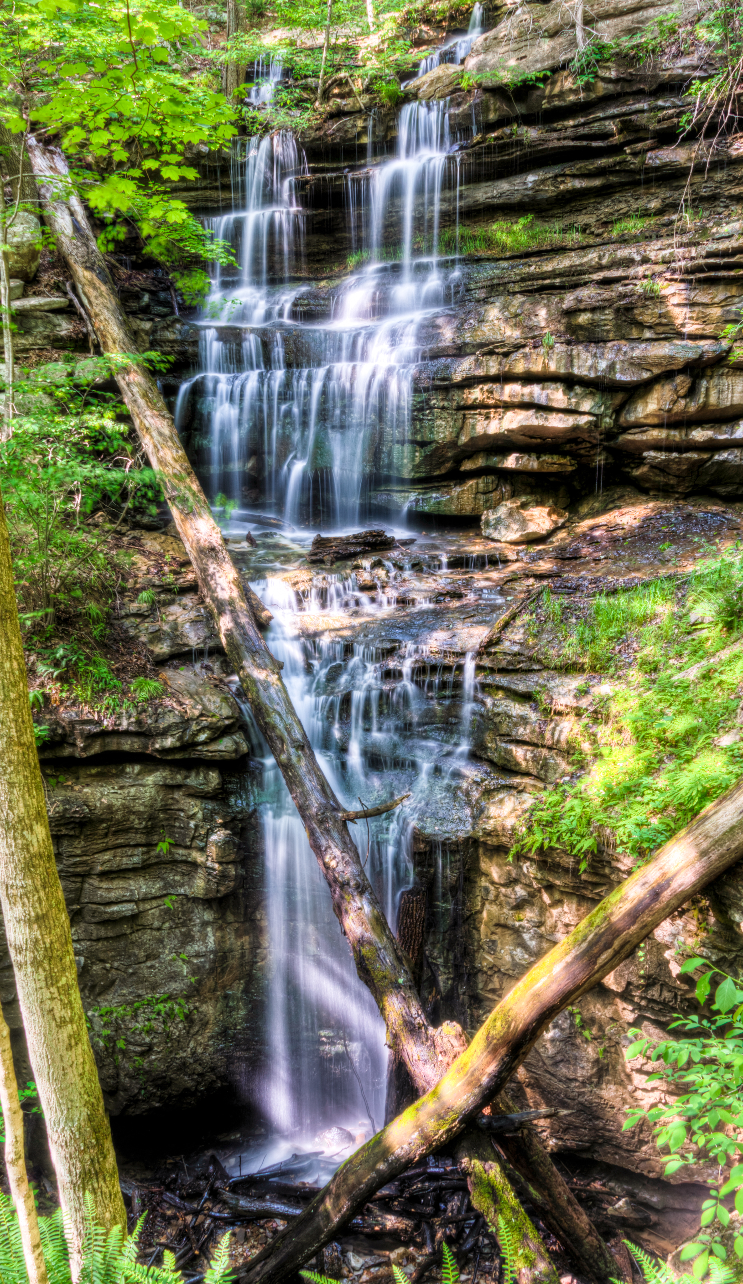
Bridal Veil Falls - Sewanee
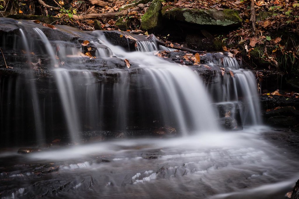
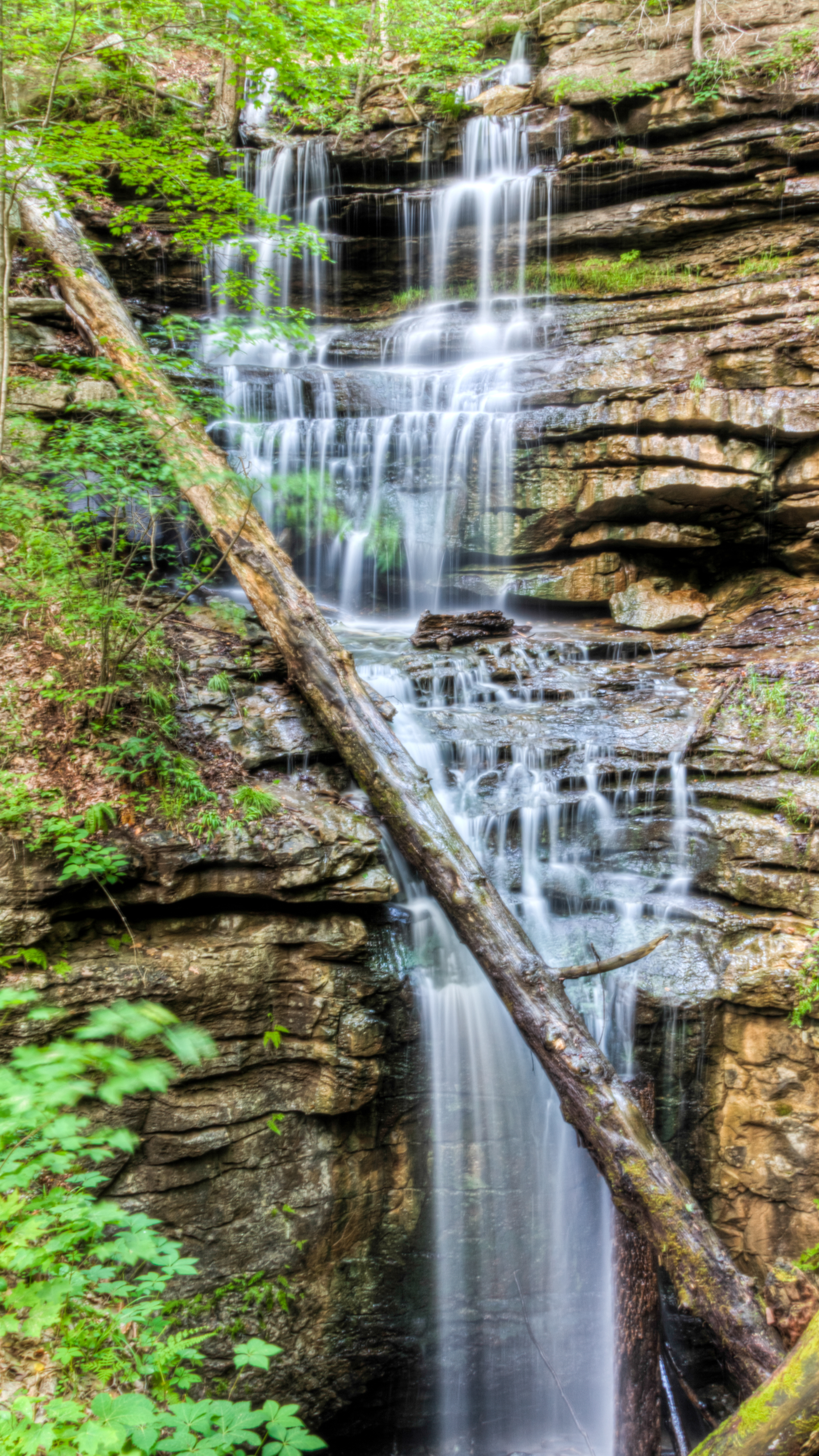
Wiggins Creek Waterfall
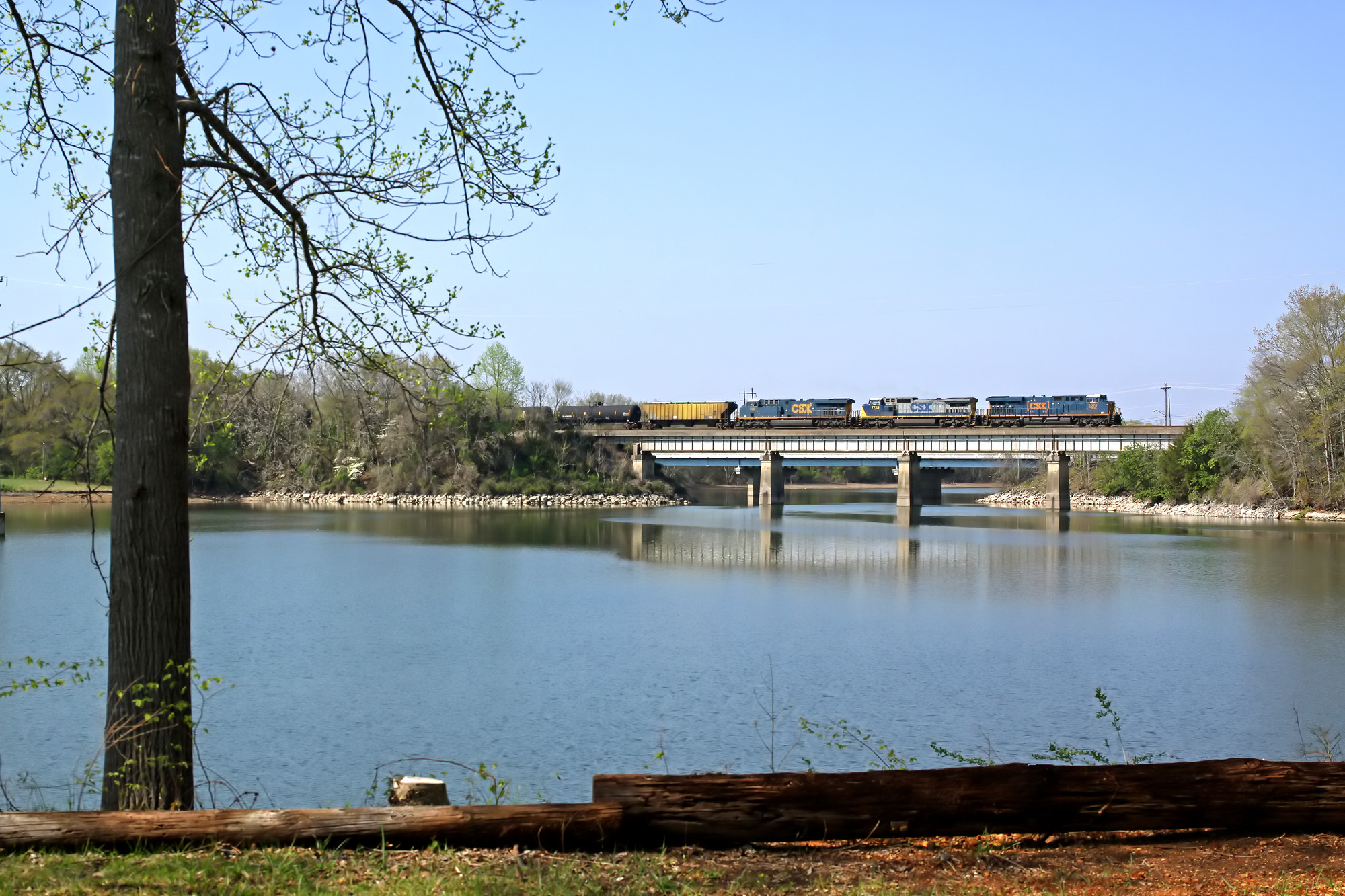
A north bound CSX crosses Estill Springs Lake, TN.

2008 05 07_After a bad night_5562.JPG
Bridal Veil Falls
Greens Overlook near Sewanee TN
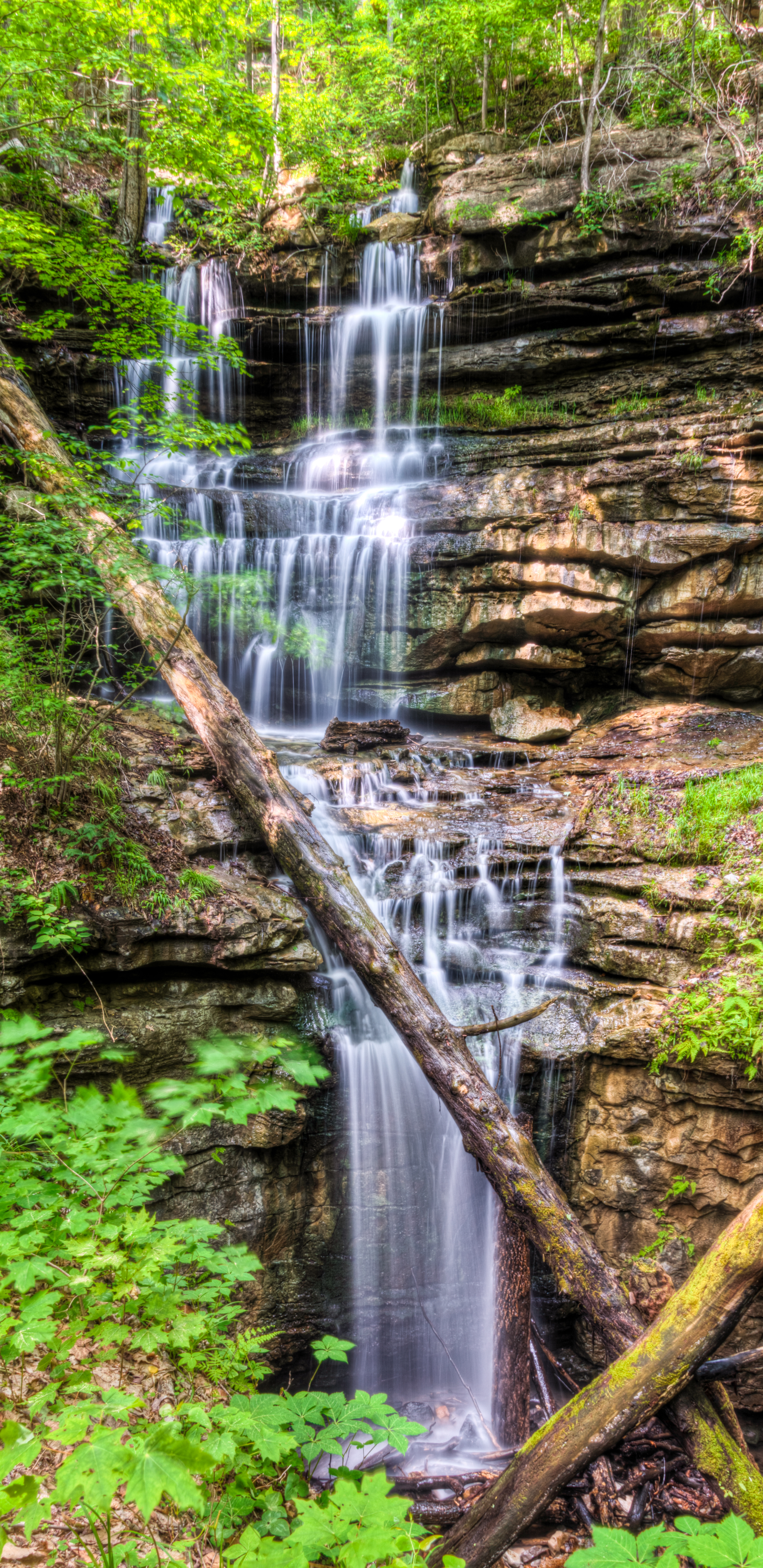
Bridal Veil Falls - Sewanee
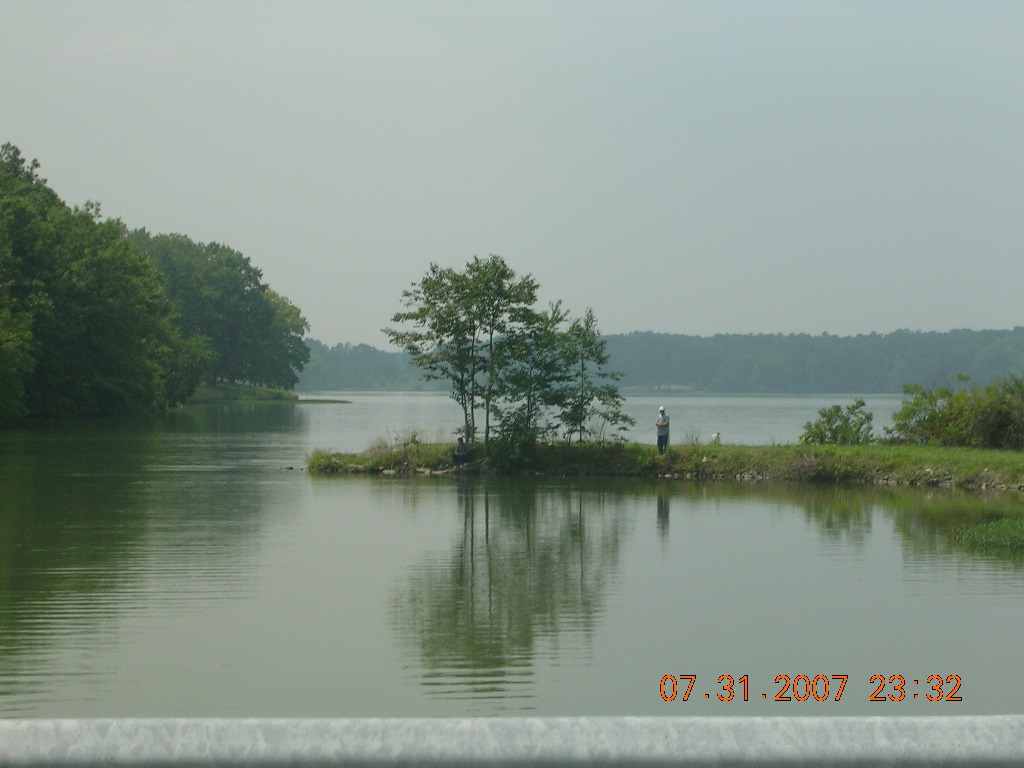
Fishermen at Wood's Reservoir

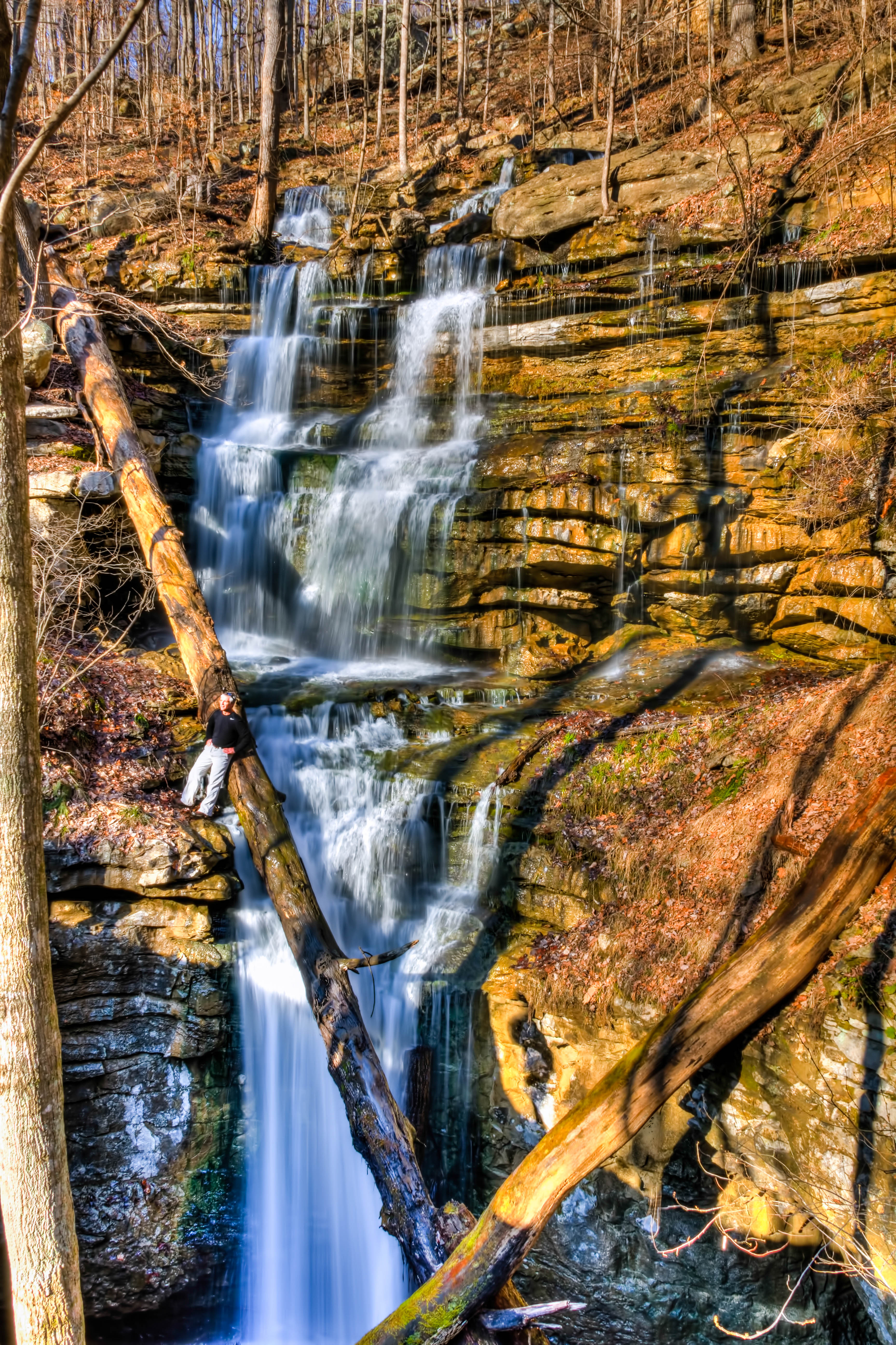
Sewanee Southern Section Perimeter Trail - Bridal Veil Falls

Sewanee Southern Section Perimeter Trail - Bridal Veil Falls
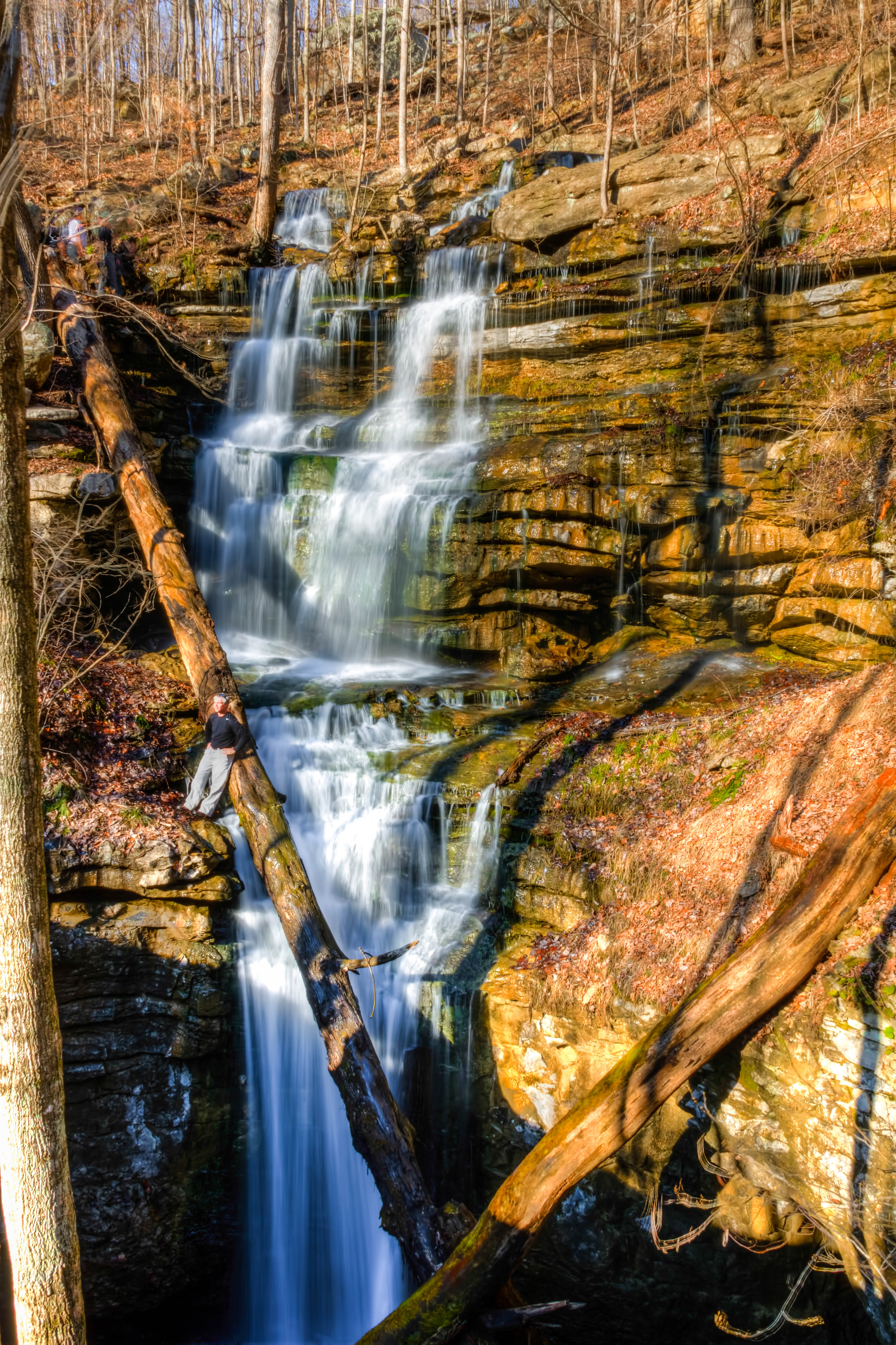
Sewanee Southern Section Perimeter Trail - Bridal Veil Falls
Sewanee Southern Section Perimeter Trail - Bridal Veil Falls
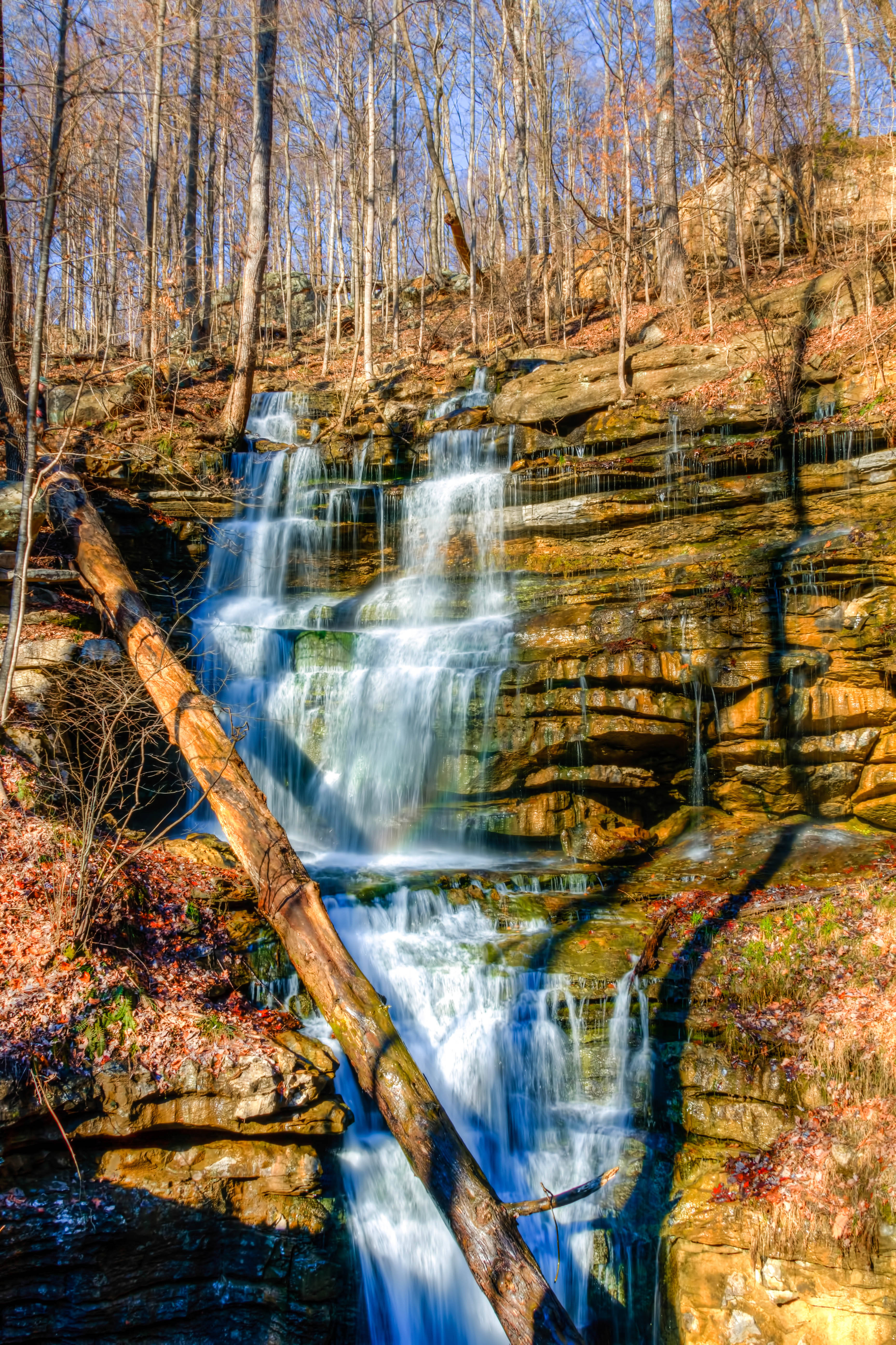
Sewanee Southern Section Perimeter Trail - Bridal Veil Falls
Sewanee Southern Section Perimeter Trail - Bridal Veil Falls
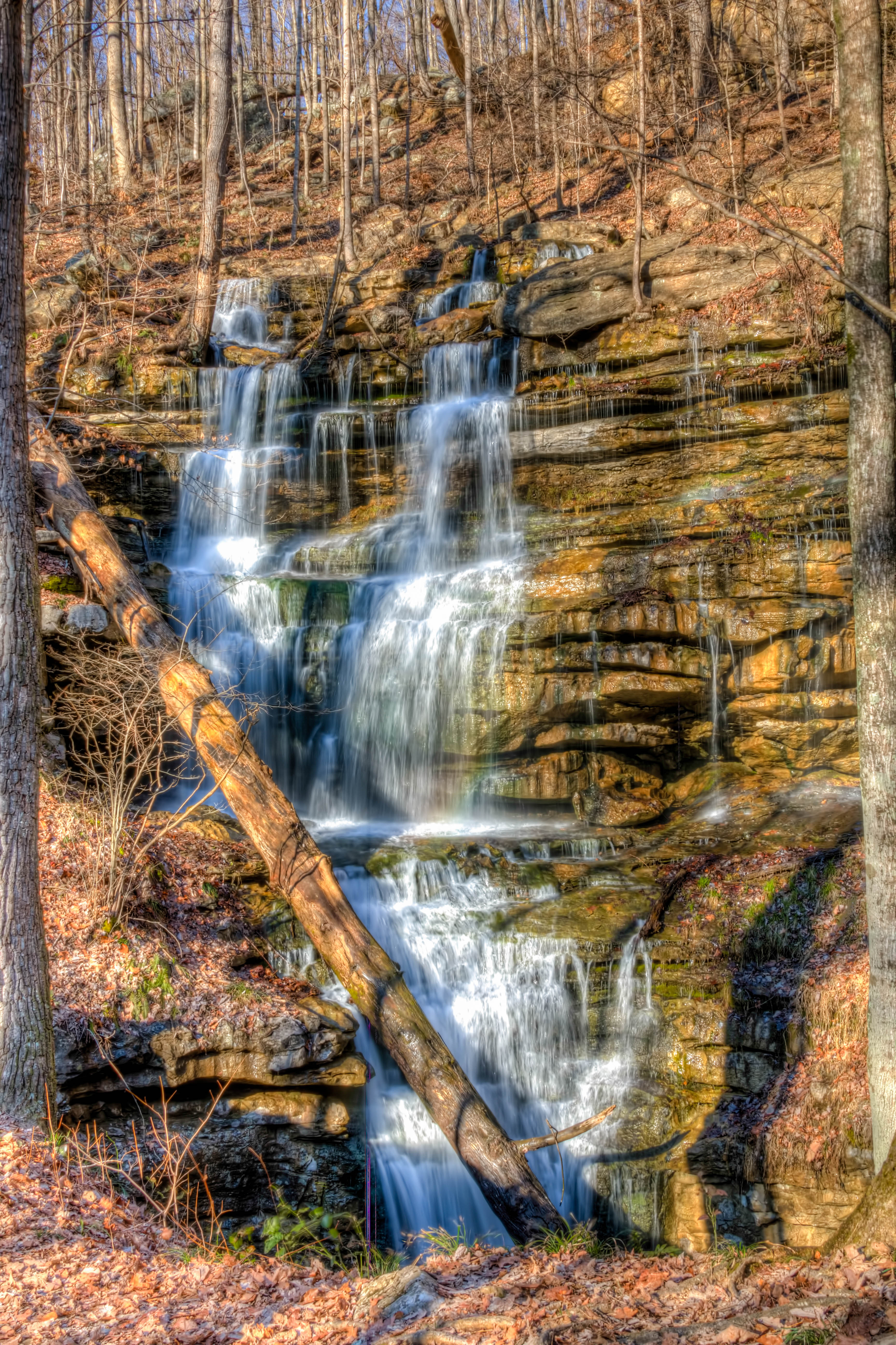
Sewanee Southern Section Perimeter Trail - Bridal Veil Falls
Topographic Map of Franklin County, TN, USA
Find elevation by address:

Places in Franklin County, TN, USA:
Places near Franklin County, TN, USA:
199 Chase Cir
199 Chase Cir
162 Grizzell Ln
Decherd
1st Ave N, Decherd, TN, USA
183 Crossview Rd
Russell St, Winchester, TN, USA
Decherd Blvd, Decherd, TN, USA
Dogwood Lane
The Body Shop Health And Wellness Studio
Cowan
200 Vanderbilt Ln
61 Gipson Ln, Decherd, TN, USA
401 S High St
Winchester
Liberty Rd, Winchester, TN, USA
111 N Cedar St
Winchester, TN, USA
117 Fairground St
Old Alto Hwy, Decherd, TN, USA
Recent Searches:
- Elevation of Corso Fratelli Cairoli, 35, Macerata MC, Italy
- Elevation of Tallevast Rd, Sarasota, FL, USA
- Elevation of 4th St E, Sonoma, CA, USA
- Elevation of Black Hollow Rd, Pennsdale, PA, USA
- Elevation of Oakland Ave, Williamsport, PA, USA
- Elevation of Pedrógão Grande, Portugal
- Elevation of Klee Dr, Martinsburg, WV, USA
- Elevation of Via Roma, Pieranica CR, Italy
- Elevation of Tavkvetili Mountain, Georgia
- Elevation of Hartfords Bluff Cir, Mt Pleasant, SC, USA