Elevation of Franklin Circle, Ridgeland, SC, USA
Location: United States > South Carolina > Jasper County > Ridgeland >
Longitude: -80.994452
Latitude: 32.5129916
Elevation: 28m / 92feet
Barometric Pressure: 101KPa
Elevation Map:
Satellite Map:
Related Photos:
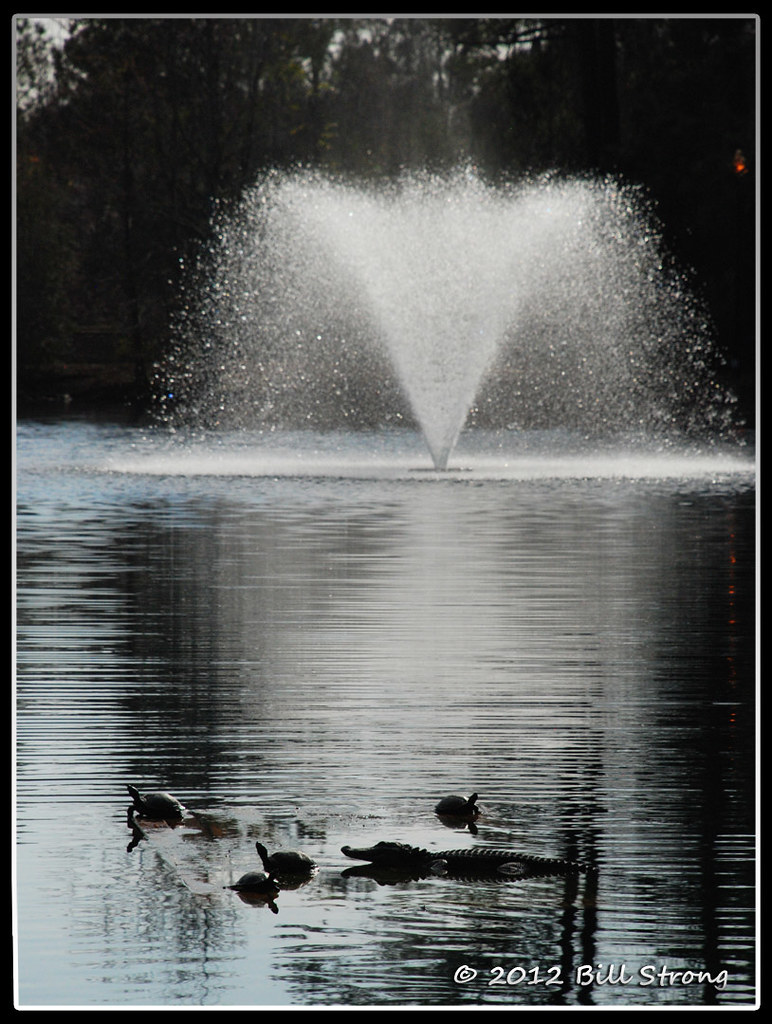
Critters and Fountain
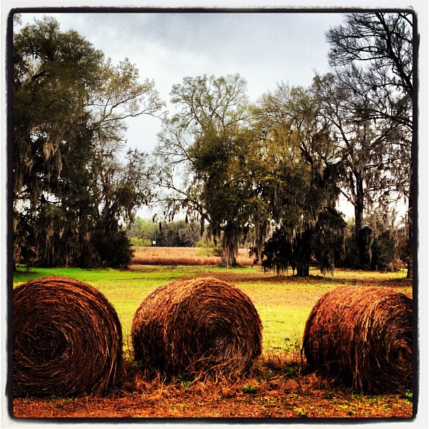
#Monterapose #plantation

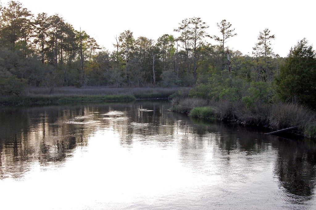
Old Abandoned boat at Euhaw Creek

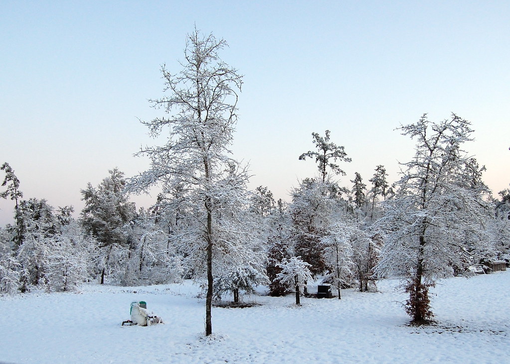
Snowy Landscape
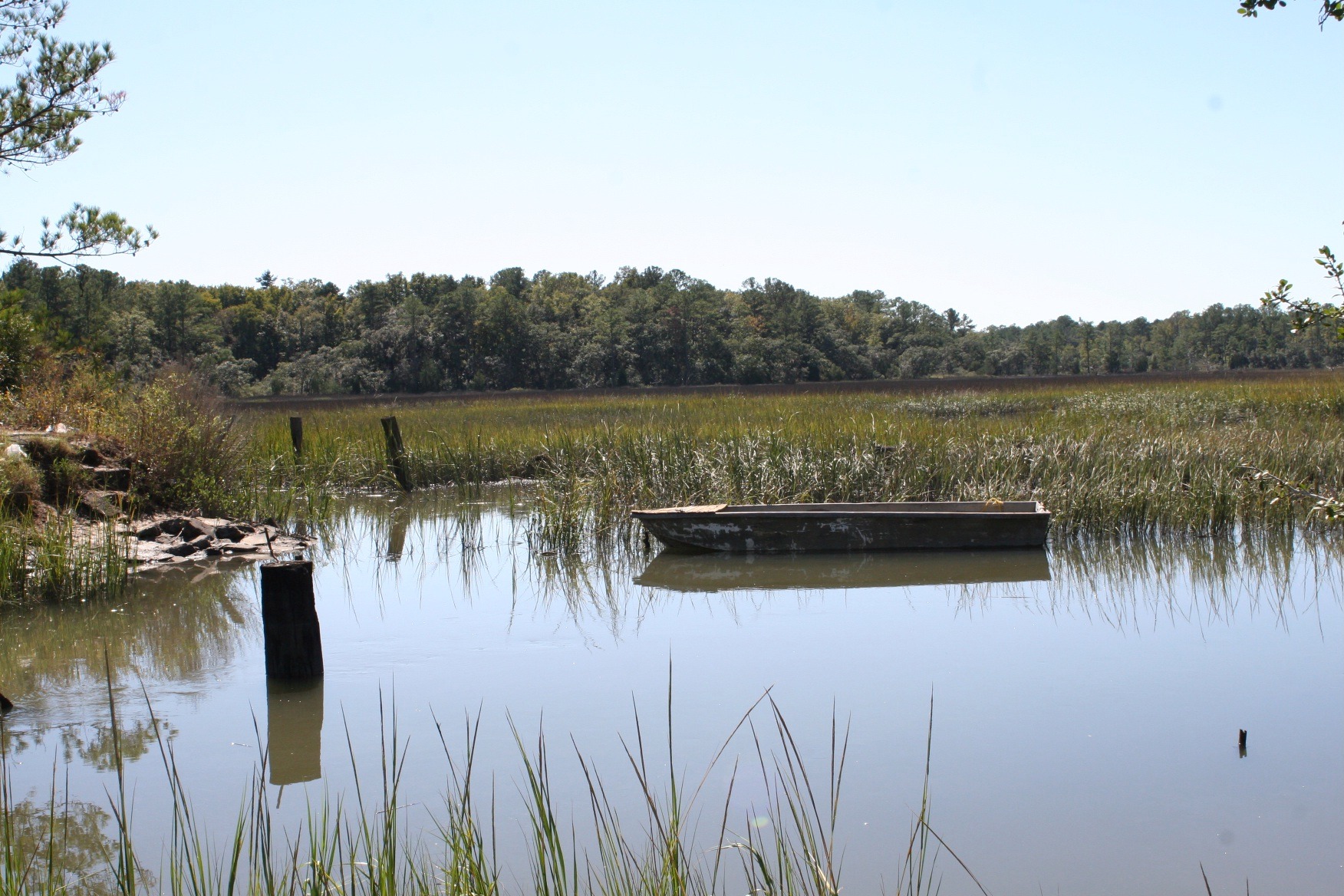
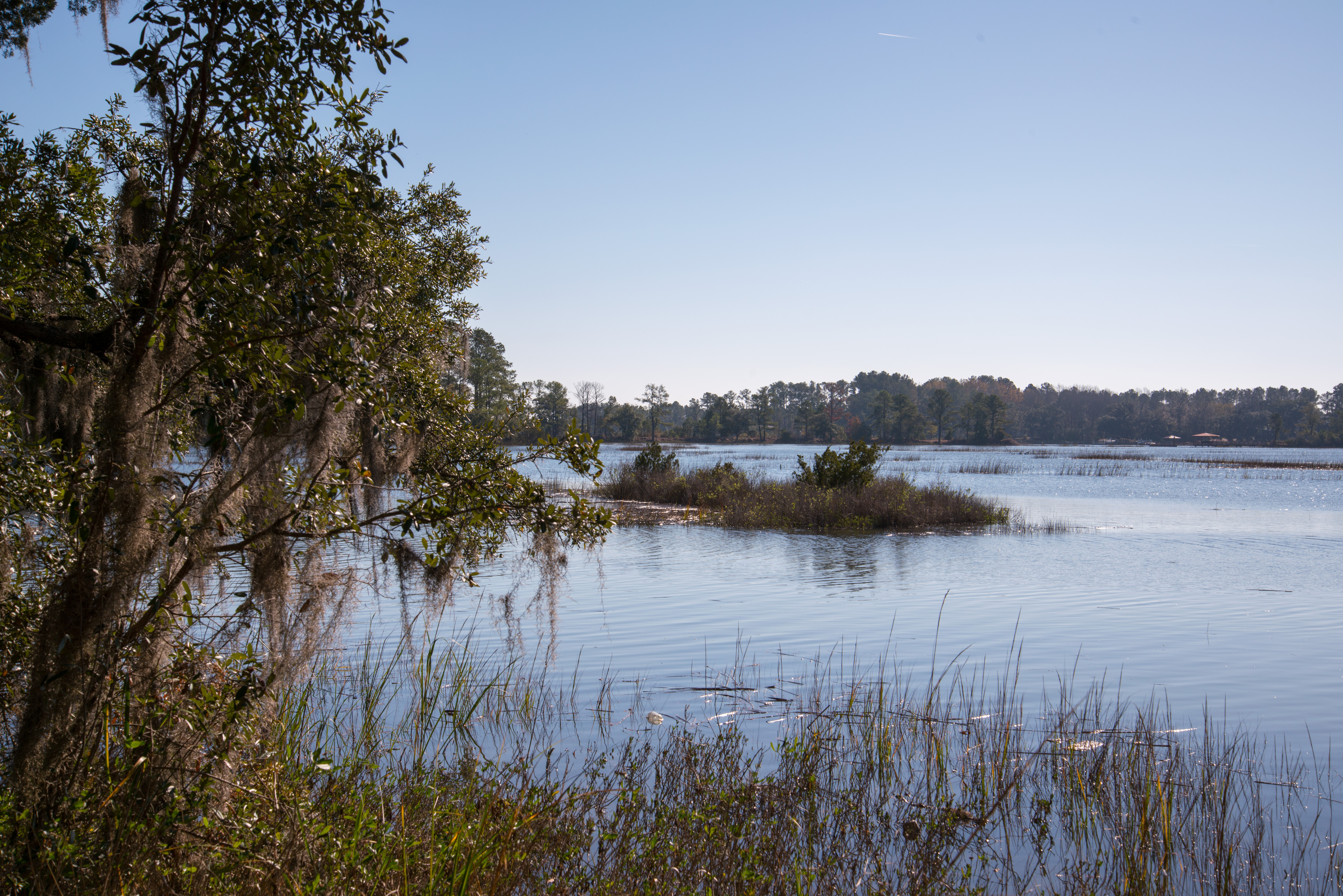
Euhaw Creek, a Tidal Creek and Marsh in Rural Jasper County South Carolina
Snowy Landscape

Fossil island
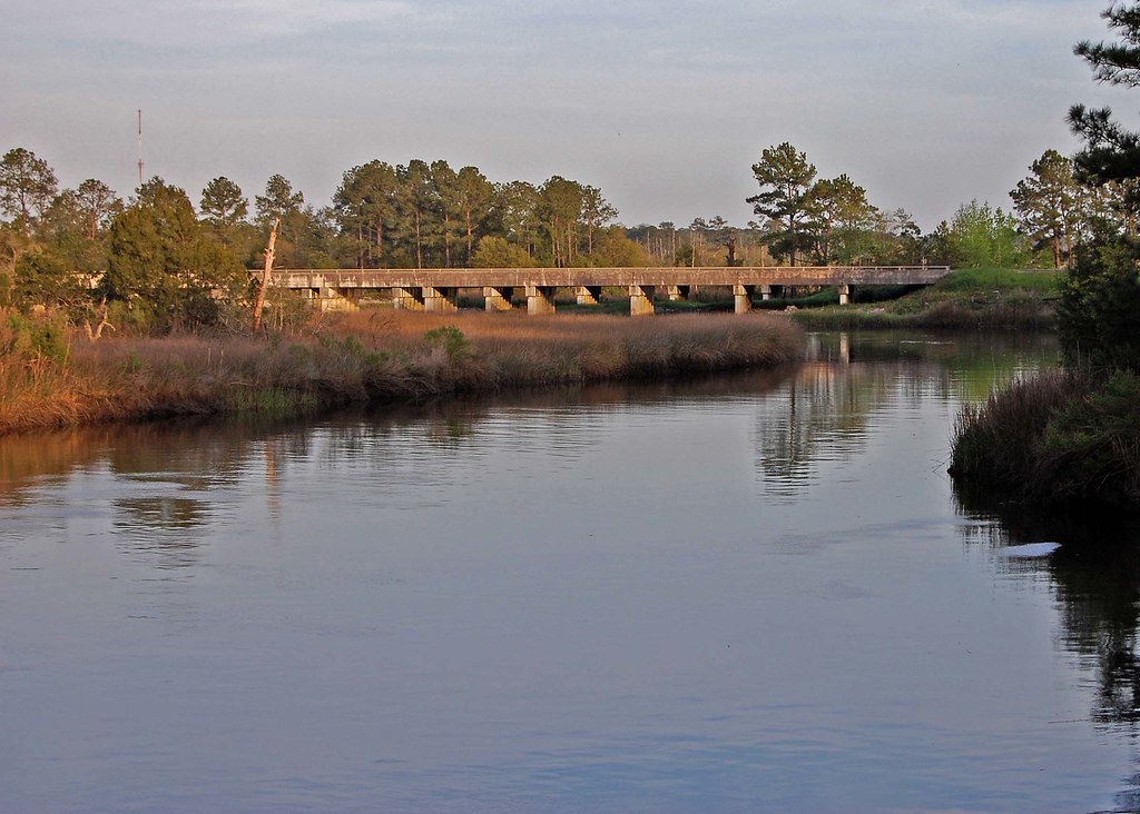
I-95 Over the Coosawhatchie
121214-6257 Ridgeland
Coosawhatchie River
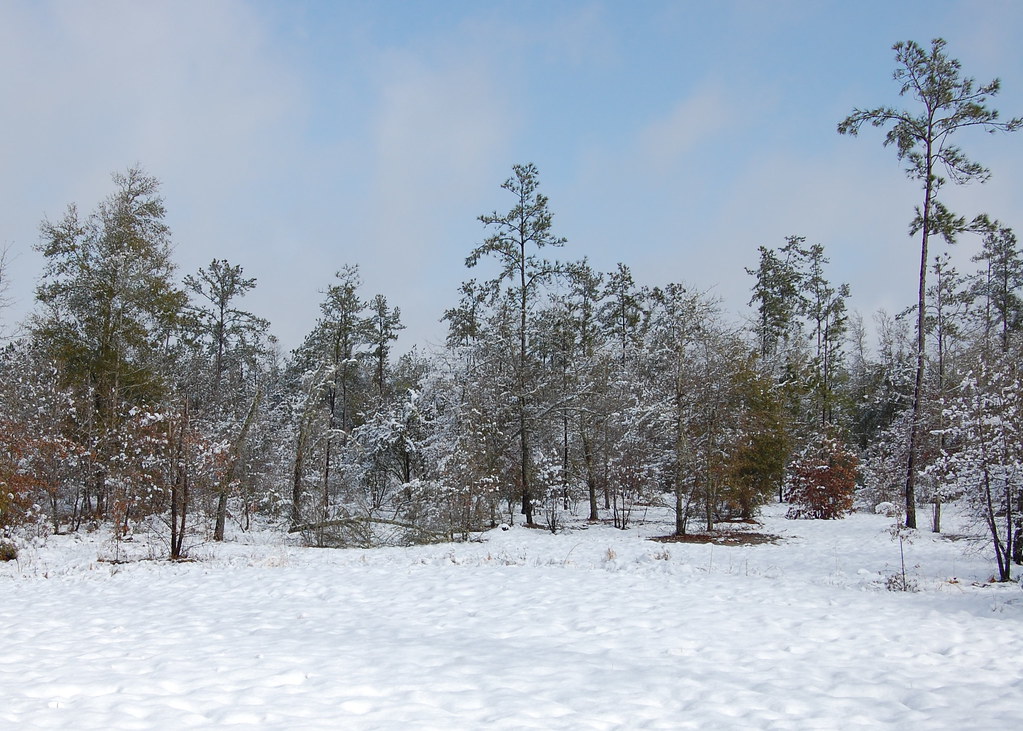
Snowy Landscape
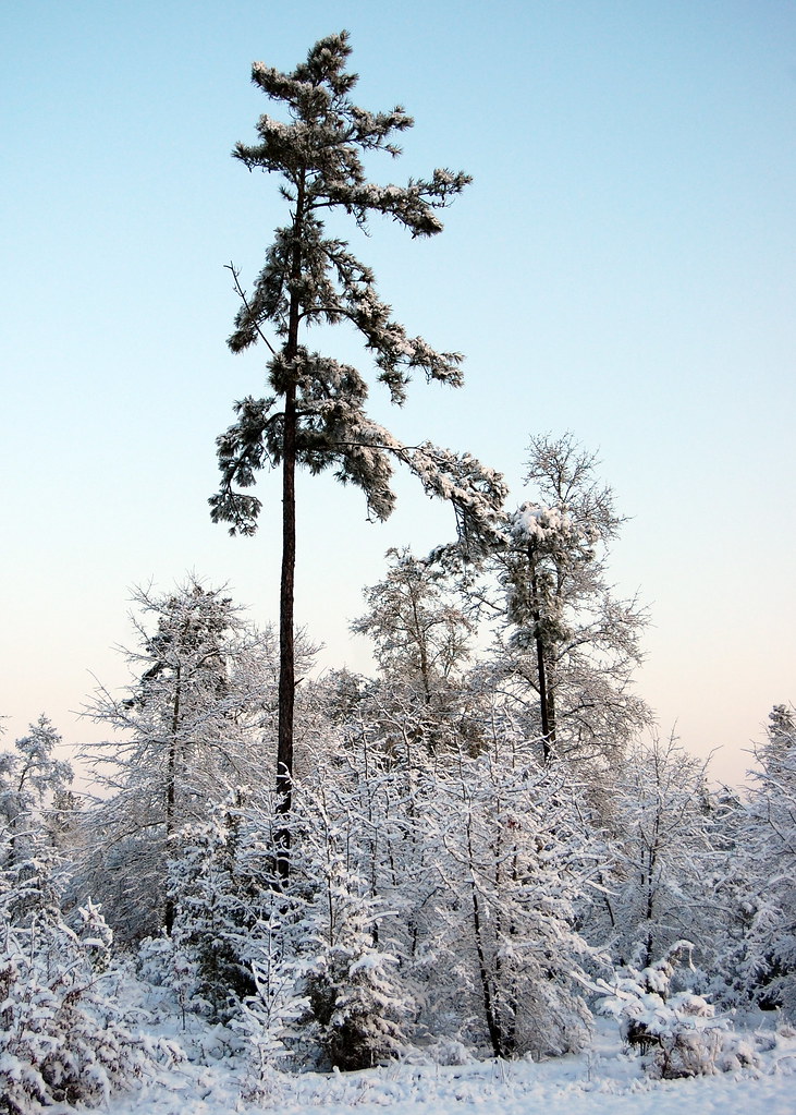
Snowy Landscape
Switzerland #easter #sundaydrive
Topographic Map of Franklin Circle, Ridgeland, SC, USA
Find elevation by address:

Places near Franklin Circle, Ridgeland, SC, USA:
218 Log Hall Rd
272 Log Hall Rd
Malphrus Road
531 Washboard Ln
Ridgeland-hardeeville High School
10 Airport Rd
Ridgeland Airport-3j1
11577 N Jacob Smart Blvd
69 2nd Ave
Ridgeland
631 Wise St
206 Forest Ave
16 Queens Way
91 Klugh Ave
925 Ridgeland Lakes Drive
Carriage Circle
1544 Honey Hill Cir
707 Mitchellville Rd
42 State Rd S-27-, Ridgeland, SC, USA
Honey Hill Court
Recent Searches:
- Elevation of Corso Fratelli Cairoli, 35, Macerata MC, Italy
- Elevation of Tallevast Rd, Sarasota, FL, USA
- Elevation of 4th St E, Sonoma, CA, USA
- Elevation of Black Hollow Rd, Pennsdale, PA, USA
- Elevation of Oakland Ave, Williamsport, PA, USA
- Elevation of Pedrógão Grande, Portugal
- Elevation of Klee Dr, Martinsburg, WV, USA
- Elevation of Via Roma, Pieranica CR, Italy
- Elevation of Tavkvetili Mountain, Georgia
- Elevation of Hartfords Bluff Cir, Mt Pleasant, SC, USA