Elevation of Fox River, AK, USA
Location: United States > Alaska > Kenai Peninsula Borough >
Longitude: -150.95833
Latitude: 59.8583333
Elevation: 152m / 499feet
Barometric Pressure: 100KPa
Elevation Map:
Satellite Map:
Related Photos:
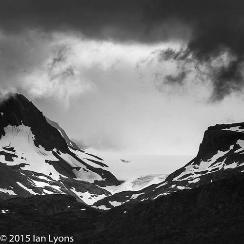
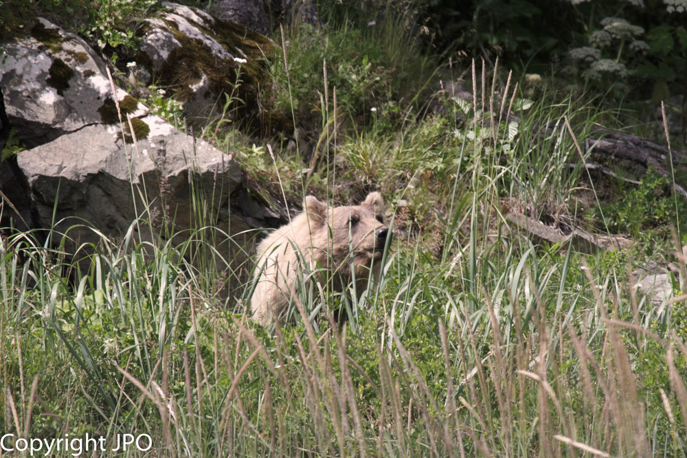
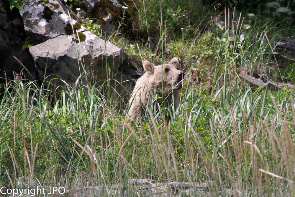
Portlock Glacier, Portage, Alaska
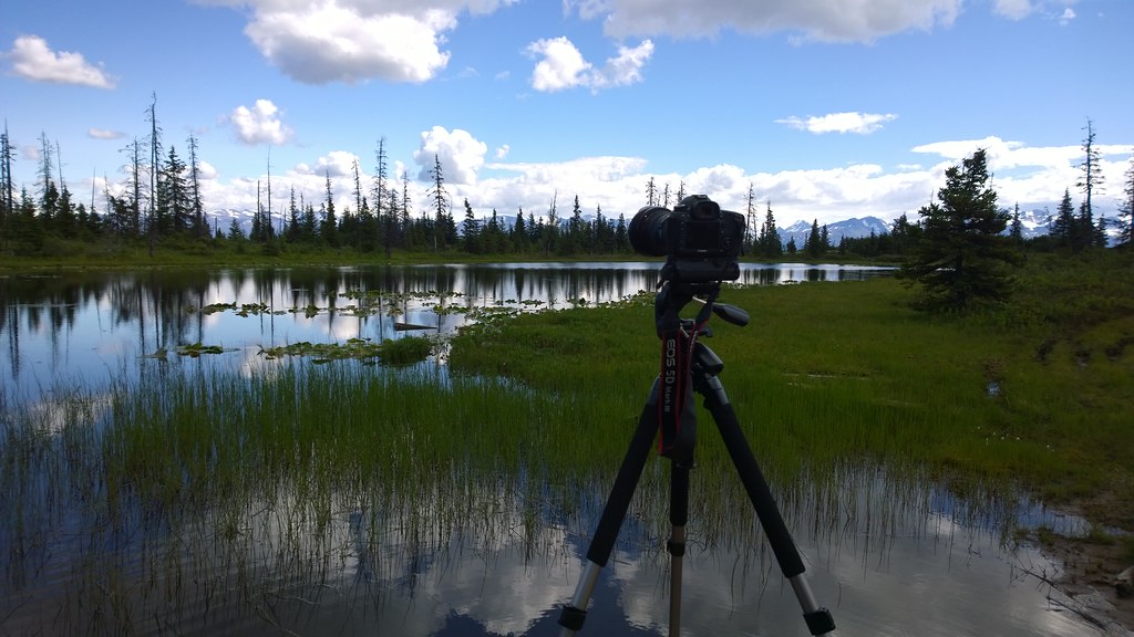
Nokia WP- Canon 5D MIII On Location (37)
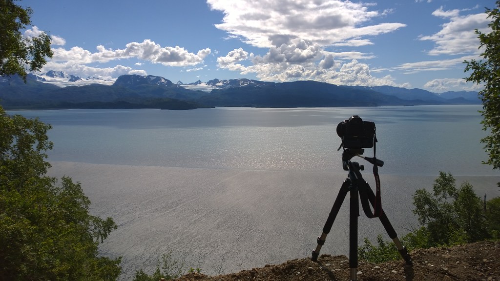
Nokia WP- Canon 5D MIII On Location (38)
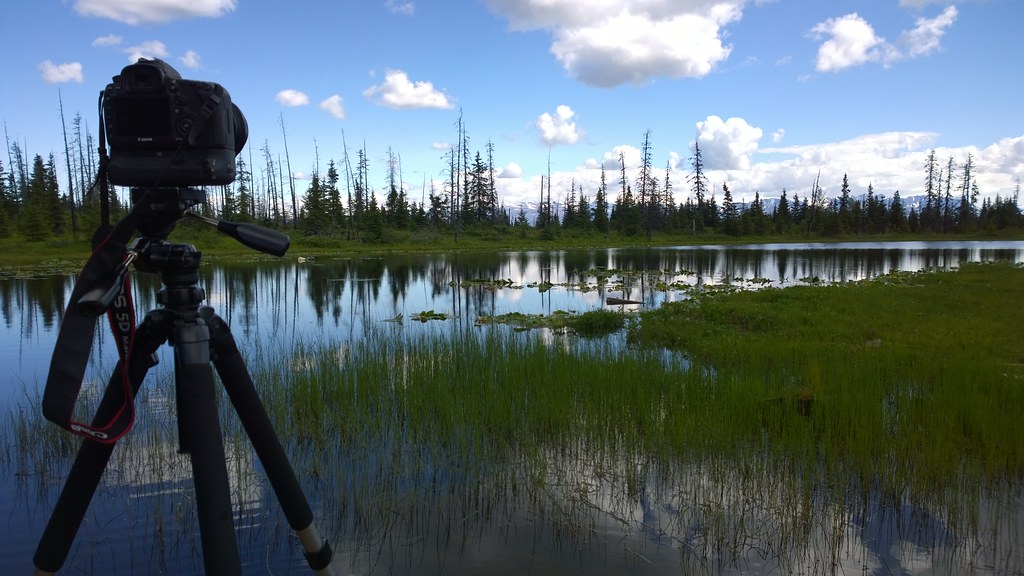
Nokia WP- Canon 5D MIII On Location (36)
J11 47
J11 49
J11 53
J11 57
J11 63
J11 65

2013-08-23 - 4.jpg
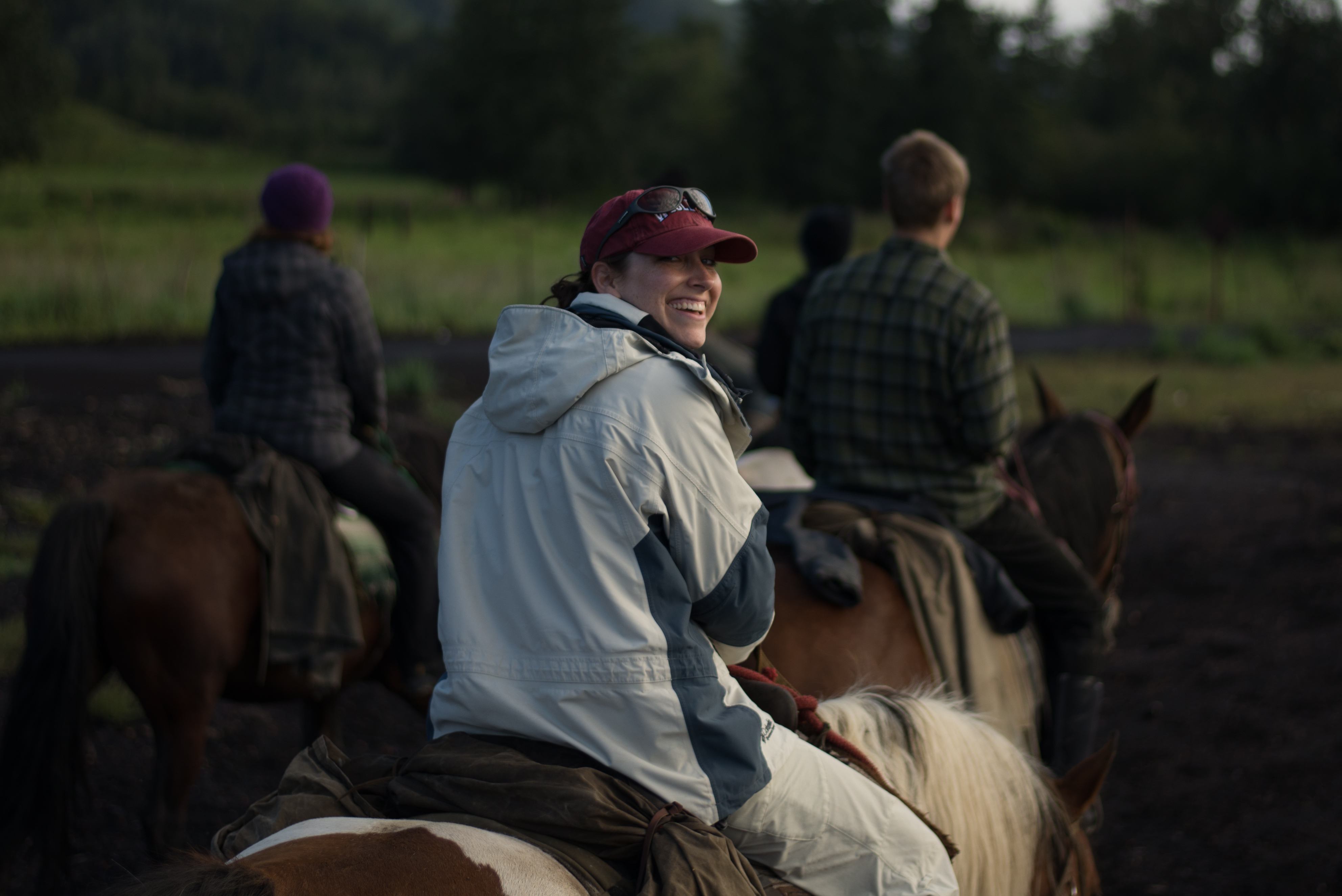
Lauren Riding a Horse
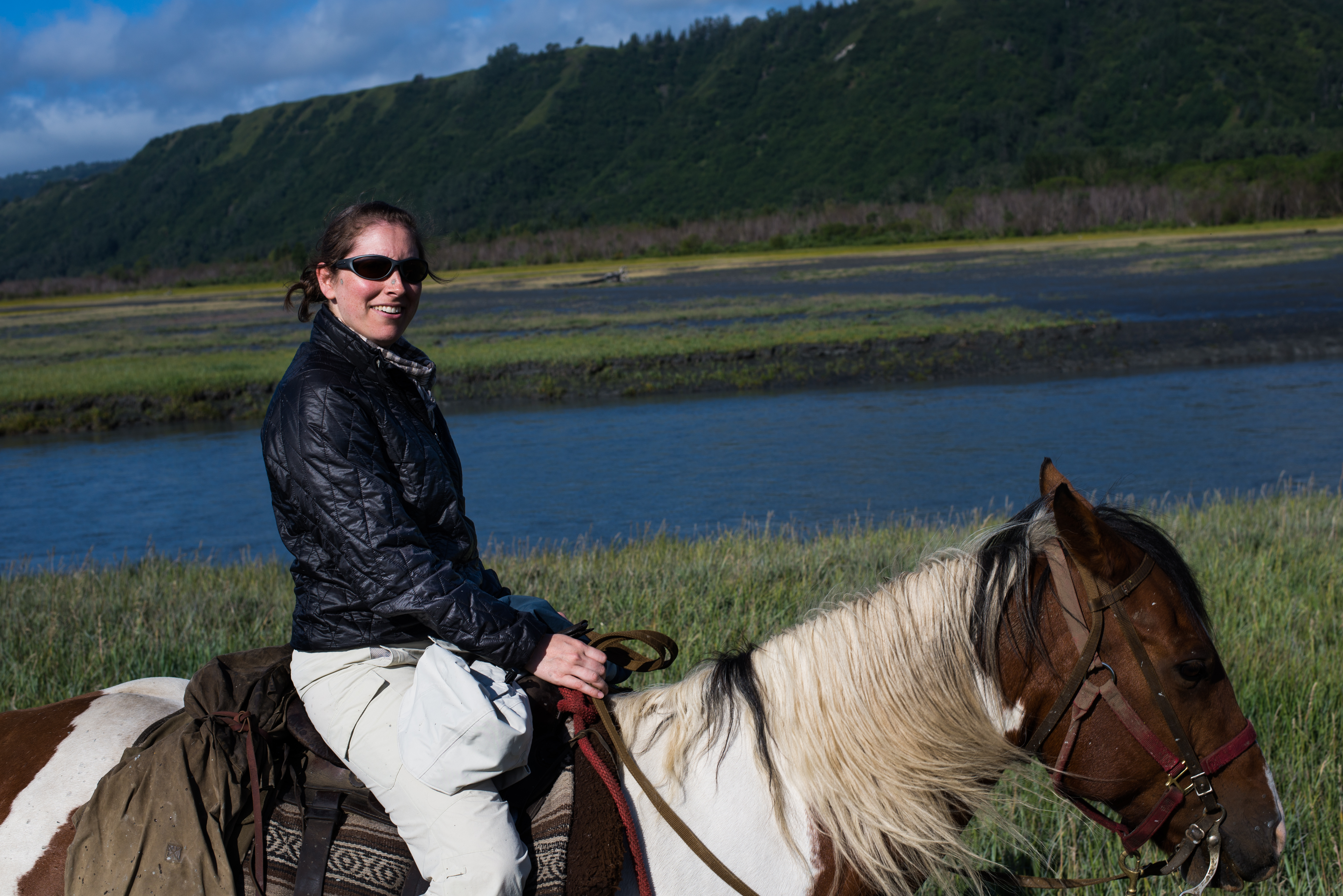
Lauren Riding a Horse
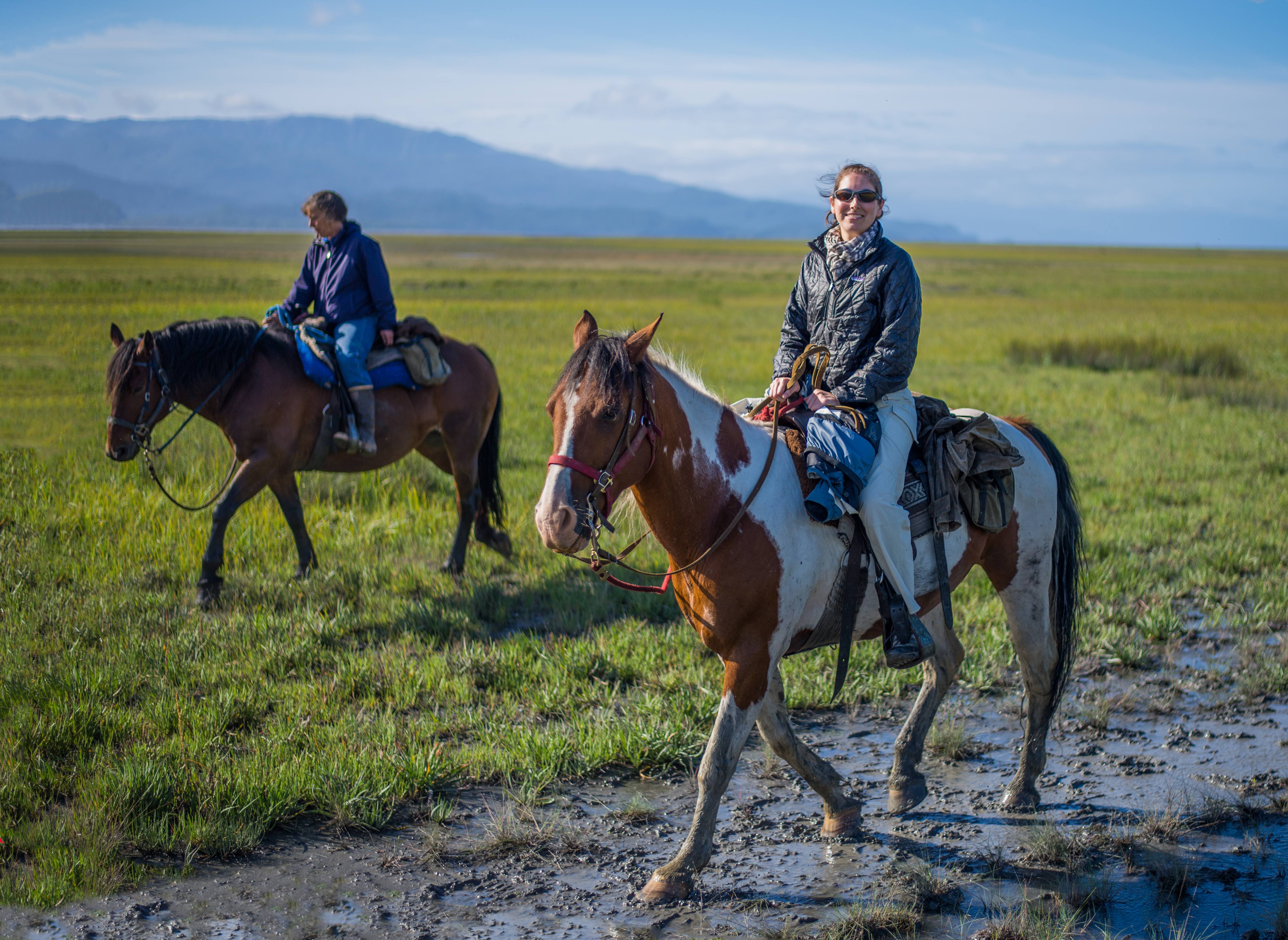
Lauren Riding a Horse
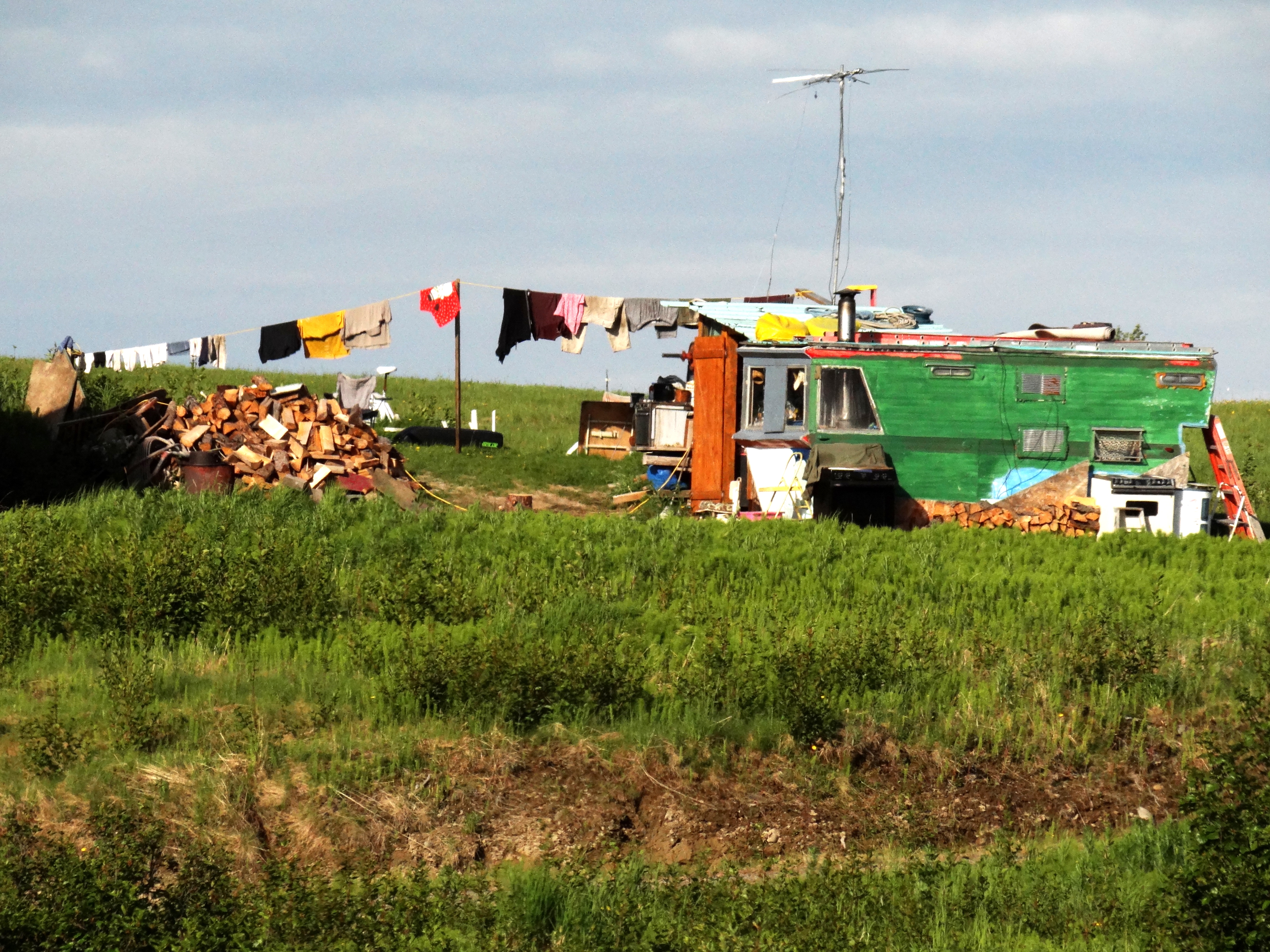
Along East End Road
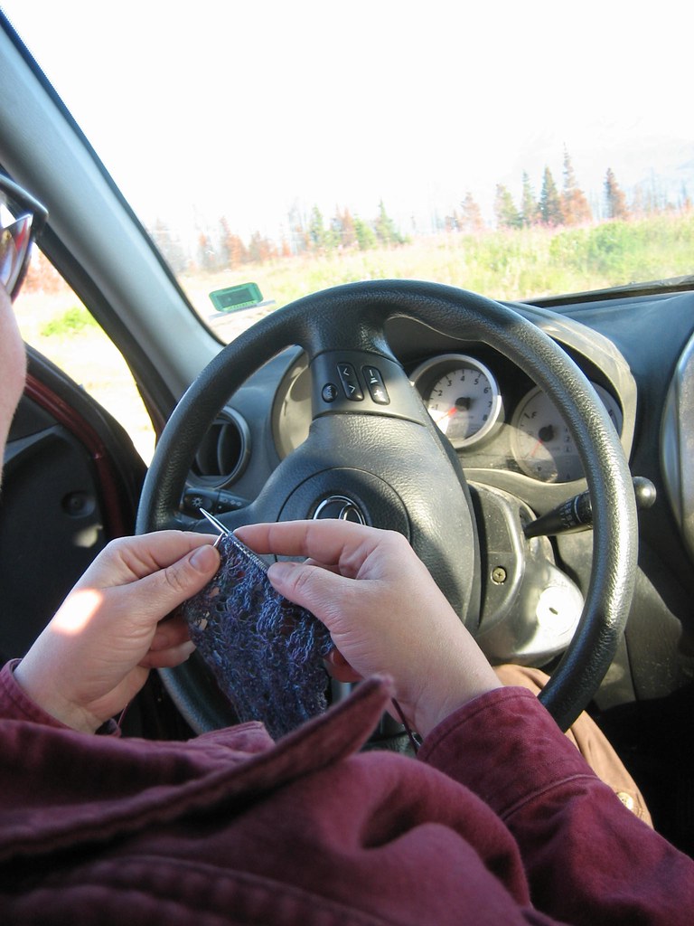
Cam knitting while Jay takes wildflower pictures

Cam knitting while Jay takes wildflower pictures
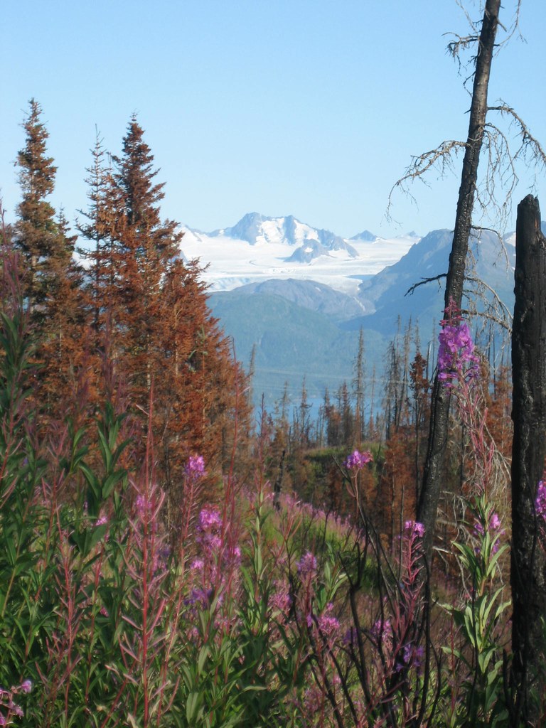
Fireweed and burned trees
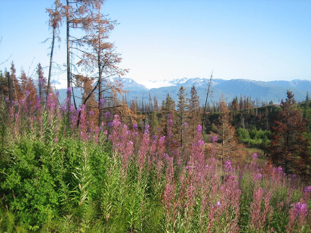
Fireweed and burned trees
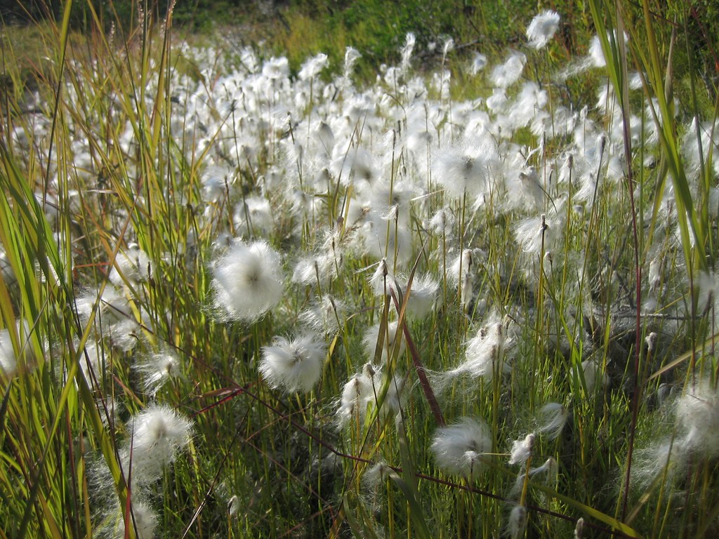
Cotton grass
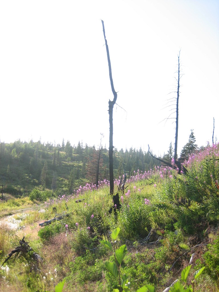
Fireweed and burned trees
Topographic Map of Fox River, AK, USA
Find elevation by address:

Places near Fox River, AK, USA:
40652 Dave Rd
Bear Cove
50215 East End Rd
Gotta Avenue
Moonrise Street
34955 Lowbush St
52038 Old E End Rd
Kilcher Homestead
Kilcher Road
Fritz Creek
sidelinger Trail, Halibut Cove, AK, USA
38415 Walters St
Fritz Creek General Store
56300 East End Rd
56132 Glenn Rd
Cannonball Circle
56764 Thurston Dr
56857 Thurston Dr
Kenai Peninsula Borough
59250 Ohlson Mountain Rd
Recent Searches:
- Elevation of Corso Fratelli Cairoli, 35, Macerata MC, Italy
- Elevation of Tallevast Rd, Sarasota, FL, USA
- Elevation of 4th St E, Sonoma, CA, USA
- Elevation of Black Hollow Rd, Pennsdale, PA, USA
- Elevation of Oakland Ave, Williamsport, PA, USA
- Elevation of Pedrógão Grande, Portugal
- Elevation of Klee Dr, Martinsburg, WV, USA
- Elevation of Via Roma, Pieranica CR, Italy
- Elevation of Tavkvetili Mountain, Georgia
- Elevation of Hartfords Bluff Cir, Mt Pleasant, SC, USA