Elevation of Foundation Dr, Pilot Point, TX, USA

Location: United States > Texas > Denton County > Pilot Point >

Longitude: -96.939381

Latitude: 33.4045963

Elevation: 206m / 676feet

Barometric Pressure: 99KPa

Elevation Map:

elevation map of Foundation Dr, Pilot Point, TX, USA

Satellite Map:

Satellite map of Foundation Dr, Pilot Point, TX, USA

Related Photos:

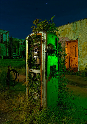
abandoned station night point texas gas pump pilot
Bio-Fuel
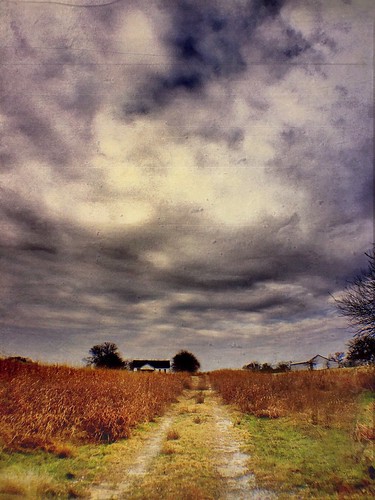
winter usa art abandoned beauty digital rural america landscape photography countryside us photo yahoo google interesting flickr pretty december texas foto view arte unitedstates image artistic photos random unique tx perspective creative scenic wanderlust pointofview artsy journey fotos archives vista homestead dfw variety bing recuerdos digitalphotography hartnett iphone fullcircle fotografía tioga eeuu northtexas iphoneography flickstackr camera360 gogoloopie deeashley dionneashley dionnehartnett shehadpotential scratchcam symmetryisperfection iphone5s
Full Circle
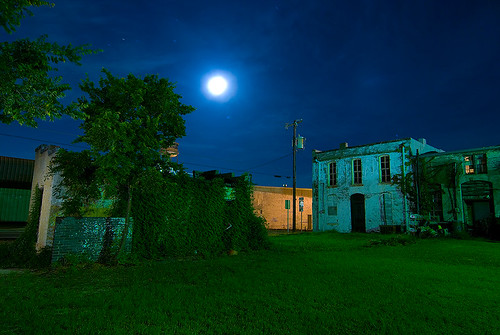
abandoned station night point texas gas pilot
Midnight in Pilot Point
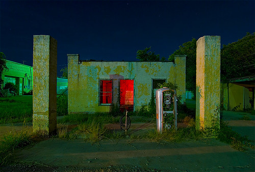
abandoned station night point texas gas pilot
Pilot Point
trail greenbelt hdr bulletholes valleyview dentontexas
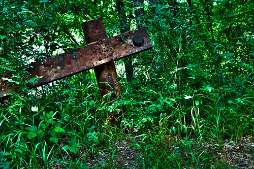
2HDR image of an old bridge pole
abandoned station night point texas gas pilot
Runnin' on Empty
panorama lake nature outdoors hike flickrandroidapp:filter=none lakerayrobertsjohnsonbranchunitstatepark
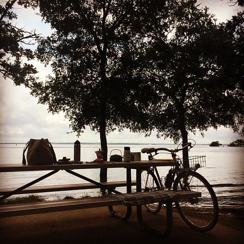
lake view
she travel viaje west digital season photography photo yahoo dallas blog spring google flickr pretty solitude texas foto view unitedstates artistic random unique tx perspective paisaje wanderlust fotos soul variety wtf february without fortworth interesante edit 2012 iphone g11 variedad cynical sentimientos unstilllife editado sadtimes iphone4 fotografía iphoneography amibitter cameraplus gogoloopie deeashley dionneashley shehadpotential feelitandkillit weareallvictimsofmathematics
It must be a Texas "Thang..."
square squareformat hefe iphoneography instagramapp uploaded:by=instagram
Hammock views #coffeeoutside
hdr greenbelttrail dentontexas
HDR image of an old bridge pole
square squareformat iphoneography instagramapp uploaded:by=instagram foursquare:venue=4ca6bf7d14c33704ee30c33b
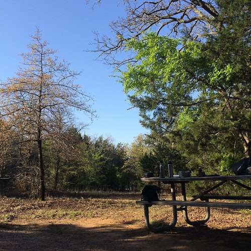
Campfire view of Spring's grand entrance #s24o
home texas cloudy tx smalltown zebras countryliving mountainsprings
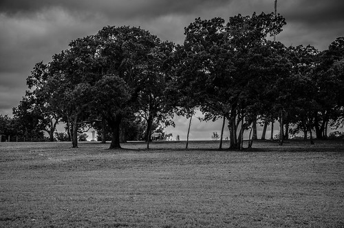
Zebras on the Horizon
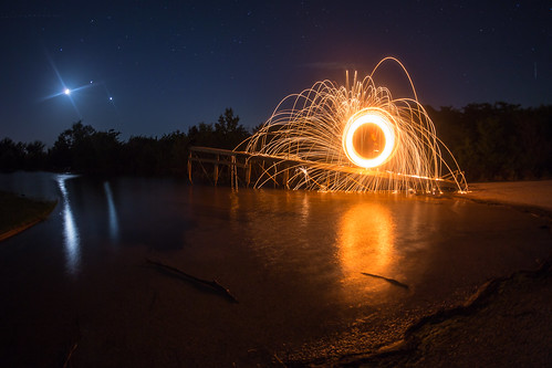
longexposure nightphotography lightpainting night canon us texas unitedstates valleyview steelwool canon6d steelwoolburning
Steel wool light painting
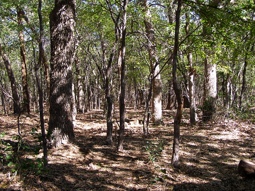
park trees texas shadows campingtrip lakerayroberts
Trees & Shadows 1
Texas Landscaping
2014 aubrey film greenbelttrail kodakektar100 nikonfe2 texas usa zeissplanar85mmf14
Stand Out
usa digital texas 2014 greenbelttrail pilotpoint samsunggalaxysiii
Old Bridge
camping trees lake iphone4 iphonography
IP Sam Rayburn
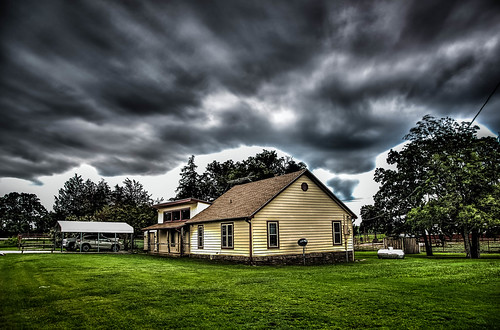
sky house storm clouds texas tx country greengrass firsthome mountainsprings cookecounty
Our First Home
square squareformat iphoneography instagramapp uploaded:by=instagram foursquare:venue=4e621eae1495676d5595e845
“If there is no time. Than what is memory?” - Zen Koan #sbe_landscapes #sundaybluesedit
cameraphone travel viaje favorite usa art field digital rural sketchy square landscape outdoors blog spring google flickr experimental texas different foto arte unitedstates artistic edited country creative roadtrip artsy squareformat mobilephone linocut whisky normal pastoral fortworth edit 2012 apps iphone collinsville tioga eeuu editado iphone4 prohdr iphoneography shockmypic iphoneedit cameraplus gogoloopie instagramapp uploaded:by=instagram deeashley dionneashley dionnehartnett foursquare:venue=4ecfd5c9722e01c581a401ed dreambooth suddenstopairport
I have no clue where I am, but it's gorgeous (I just picked someone else's location)! A Lazy #Field... Near #Oklahoma
sky cloud storm rain weather clouds countryside texas ominous tx thunderstorms skyporn strangelydifferent
Framed Nature
usa digital texas 2014 greenbelttrail pilotpoint canons95
Blue Skies
2014 film greenbelttrail kodakektar100 nikonfe2 pilotpoint texas usa zeissplanar85mmf14
Rolled Up
2014 film kodakektar100 nikonfe2 pilotpoint rayrobertslakestatepark texas usa zeissplanar85mmf14
Wade Out
california usa art set digital landscape photography us photo yahoo blog google interesting flickr pretty foto arte unitedstates photos random unique wanderlust fotos variety interesante iphone fotografía eeuu variedad iphoneography gogoloopie deeashley dionneashley shehadpotential lubworth
I Shut My Eyes in Order that I May See.
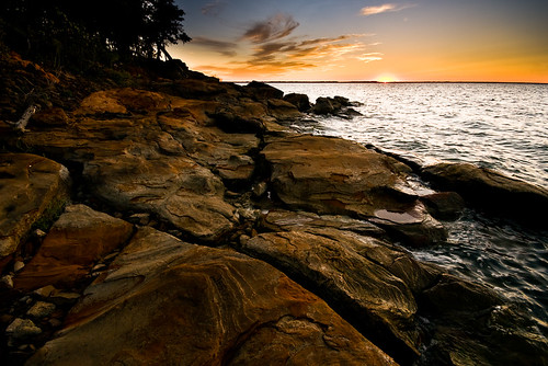
sunset sky water rocks texas unitedstates greenvalley lakerayroberts pilotpoint
the warm caress of sunset (#2)
usa digital texas 2014 pilotpoint rayrobertslakestatepark canons95
Fishing Pier
california usa art set digital landscape photography us photo yahoo blog google interesting flickr pretty foto arte unitedstates photos random unique wanderlust fotos variety interesante iphone fotografía eeuu variedad iphoneography gogoloopie deeashley dionneashley shehadpotential lubworth
I Shut My Eyes in Order that I May See.
2014 aubrey film greenbelttrail kodakektar100 nikonfe2 texas usa zeissplanar85mmf14
The Butterfly & Thistle
2014 film greenbelttrail kodakektar100 nikonfe2 pilotpoint texas usa zeissplanar85mmf14
Bee Out
sunset portrait sky sun water swimming geotagged texas unitedstates jess portfolio celeste lakerayroberts environmentalportrait pilotpoint geo:lat=3338157000 geo:lon=9703209500
sunset swim