Elevation of Ford, WA, USA
Location: United States > Washington > Stevens County >
Longitude: -117.80579
Latitude: 47.9082219
Elevation: 542m / 1778feet
Barometric Pressure: 95KPa
Elevation Map:
Satellite Map:
Related Photos:

A Pacific Northwest Sweet Morning Crush: A Dramatic Sunrise (Part 111): Returning Heartfelt Seasons (In Technicolor)

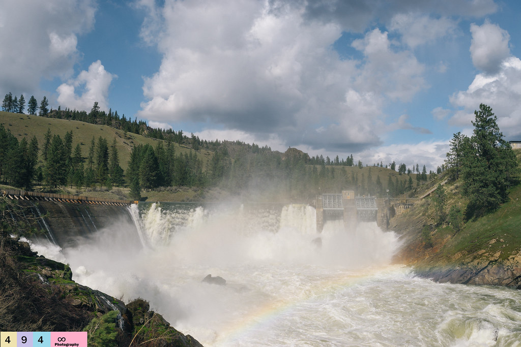
Little Falls Dam 10
Little Falls Dam 8
Serene Moments - (Explored)

Little Falls Dam 7

Lifelong Mystical Enchantments
The First Step On the Staircase of Life...
Little Falls Dam 9

The Way To Start One's Day

Blissful Harmony
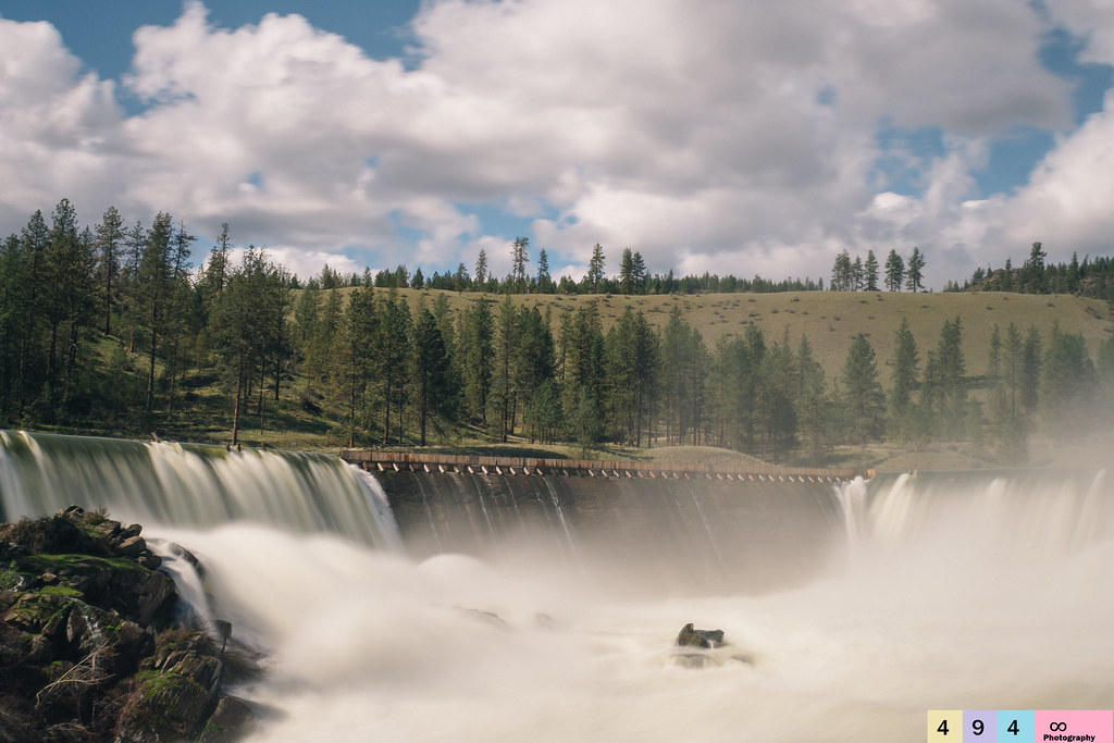
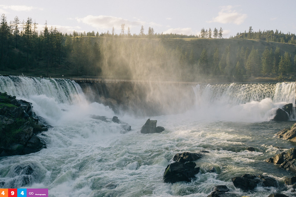
Little Falls Dam

A Pacific Northwest Sweet Morning Crush: A Dramatic Sunrise (Part 91): Receiving Positive News (In Technicolor)

Widened Perspectives
Little Falls Dam 3

Little Falls Dam 2

Expressive Intentions

Little Falls Dam 4

Little Falls Dam 5

Long Lake Dam 2

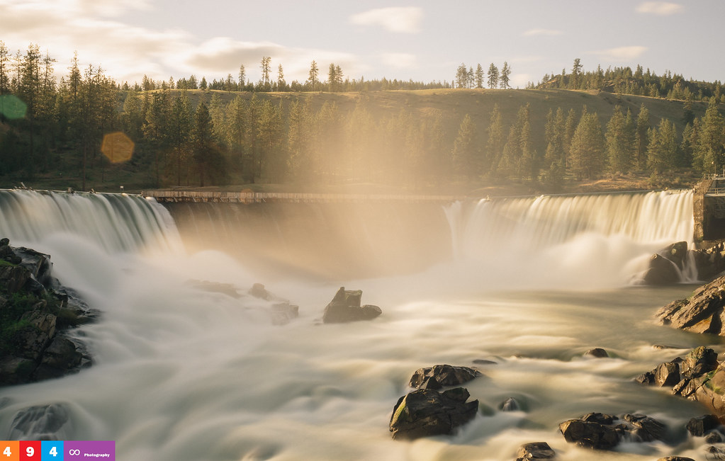
Little Falls Dam

Unidentified Merganser
Topographic Map of Ford, WA, USA
Find elevation by address:

Places in Ford, WA, USA:
Places near Ford, WA, USA:
Long Lake Dam
Loralee Street
Tumtum
4121 Springdale Hunters Rd
4583 Springdale Hunters Rd
17216 N Valley Rd
Springdale
4027b Hesseltine Rd
6526 Summerlin Way
5226 Springdale Hunters Rd
6246 Moriah Dr
17211 N Sunnyvale Ct
16413 Sun Haven Dr
4339 Grote Rd
Loon Lake
4638 Gibson Dahl Rd
Clayton
5254 Casberg-burroughs Rd
4104 Ali Vista Way
Valley
Recent Searches:
- Elevation of Corso Fratelli Cairoli, 35, Macerata MC, Italy
- Elevation of Tallevast Rd, Sarasota, FL, USA
- Elevation of 4th St E, Sonoma, CA, USA
- Elevation of Black Hollow Rd, Pennsdale, PA, USA
- Elevation of Oakland Ave, Williamsport, PA, USA
- Elevation of Pedrógão Grande, Portugal
- Elevation of Klee Dr, Martinsburg, WV, USA
- Elevation of Via Roma, Pieranica CR, Italy
- Elevation of Tavkvetili Mountain, Georgia
- Elevation of Hartfords Bluff Cir, Mt Pleasant, SC, USA