Elevation of Food Lion, E, NC-55, Grantsboro, NC, USA
Location: United States > North Carolina > Pamlico County > > Grantsboro >
Longitude: -76.830535
Latitude: 35.14184
Elevation: 5m / 16feet
Barometric Pressure: 101KPa
Elevation Map:
Satellite Map:
Related Photos:

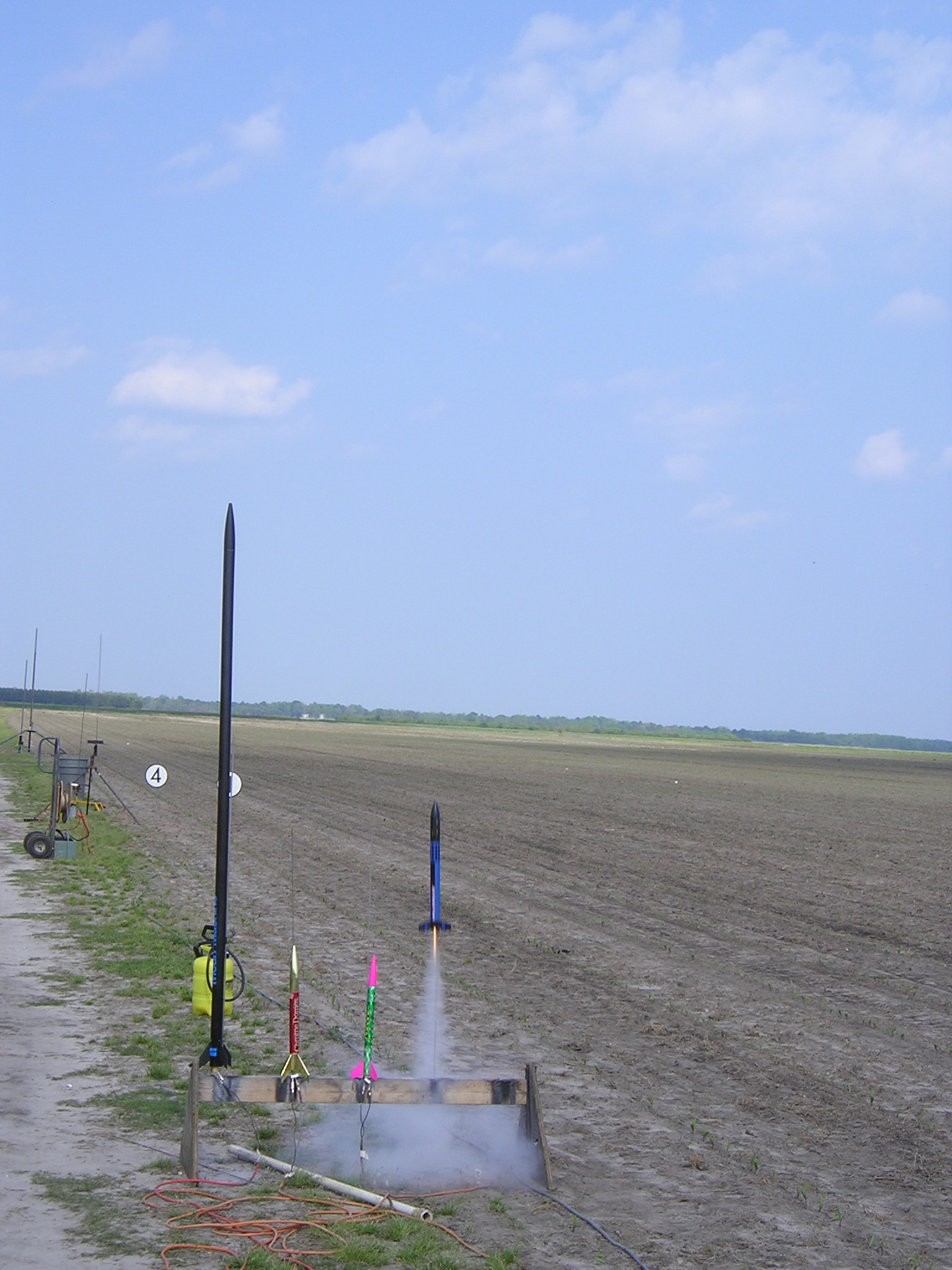
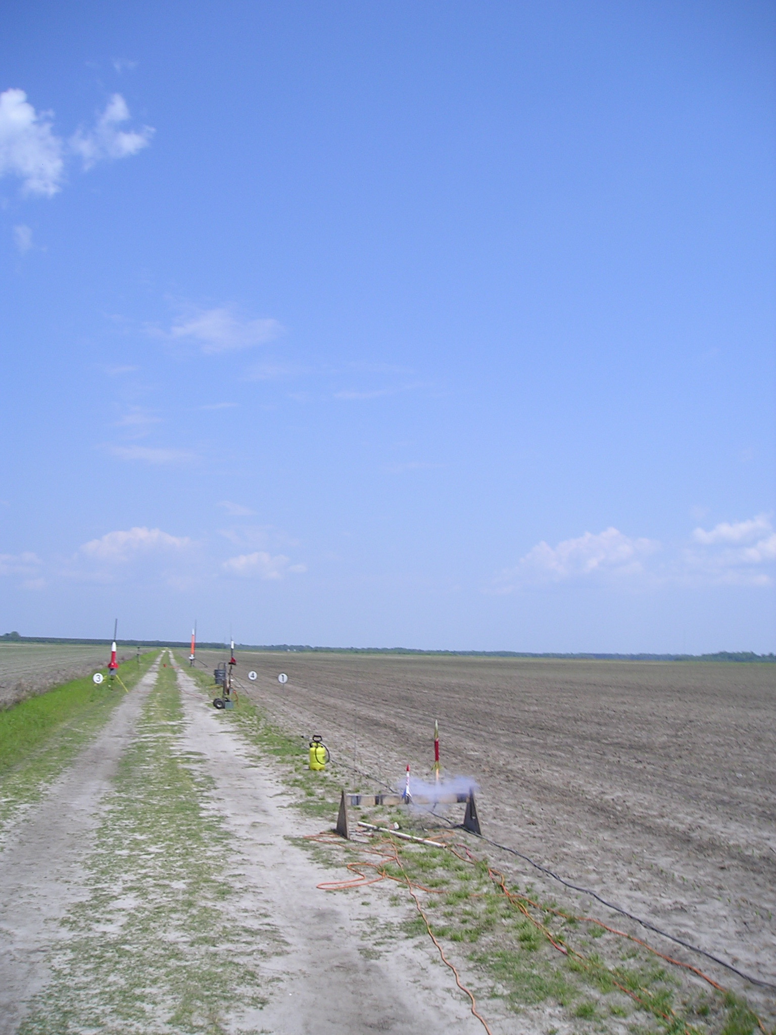
My Kit (updated)
How Old Are You?
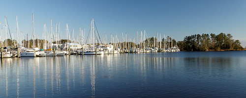
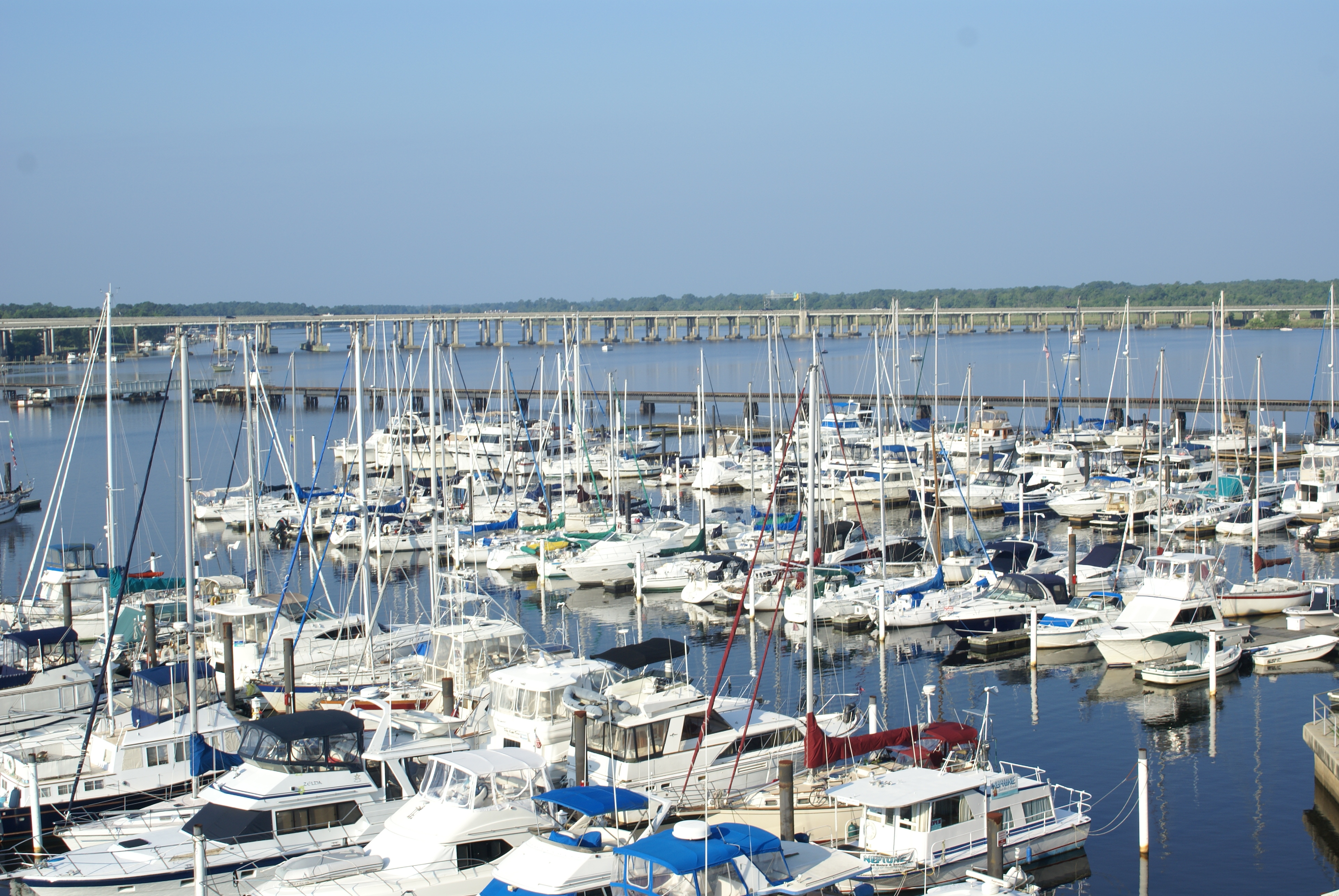
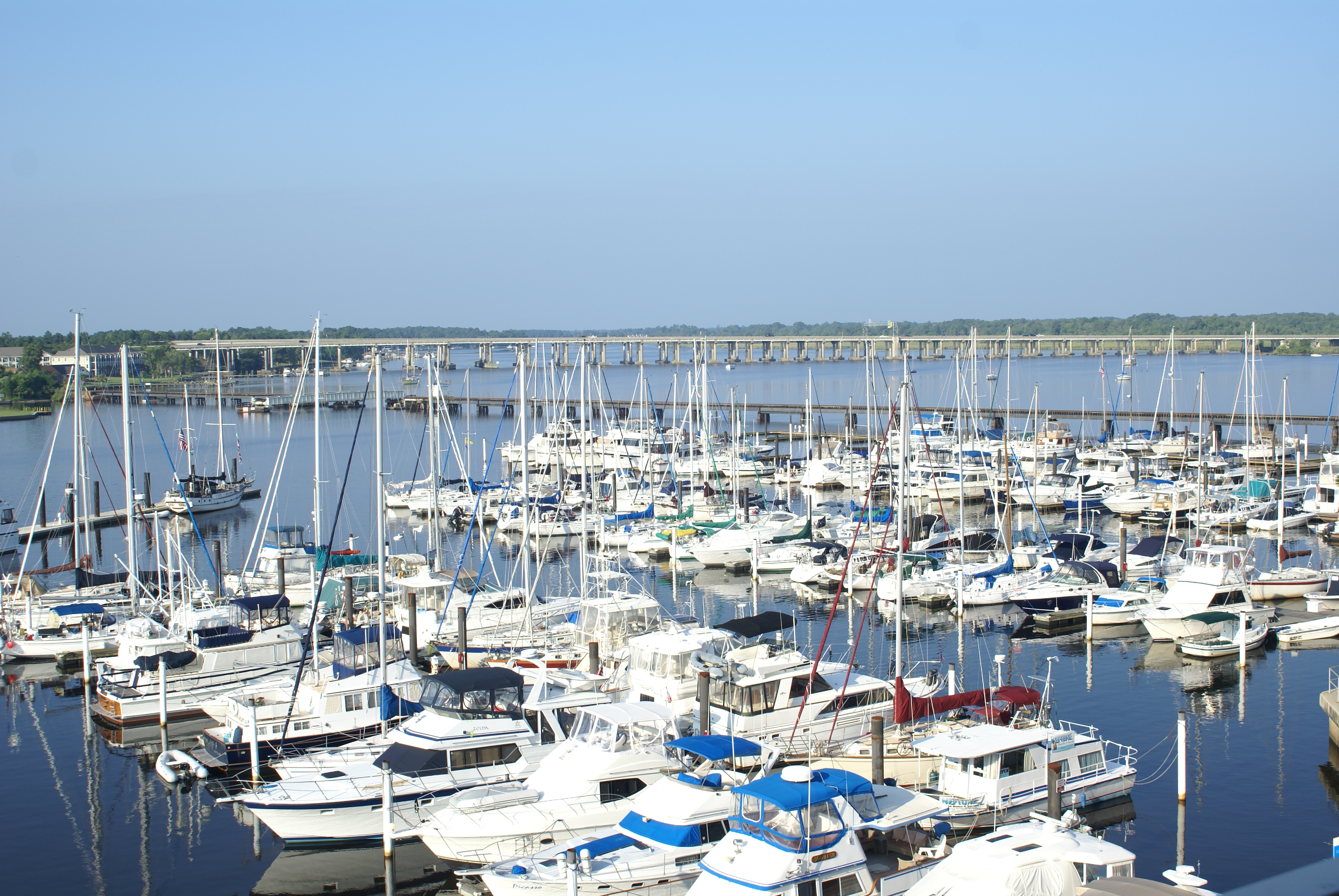
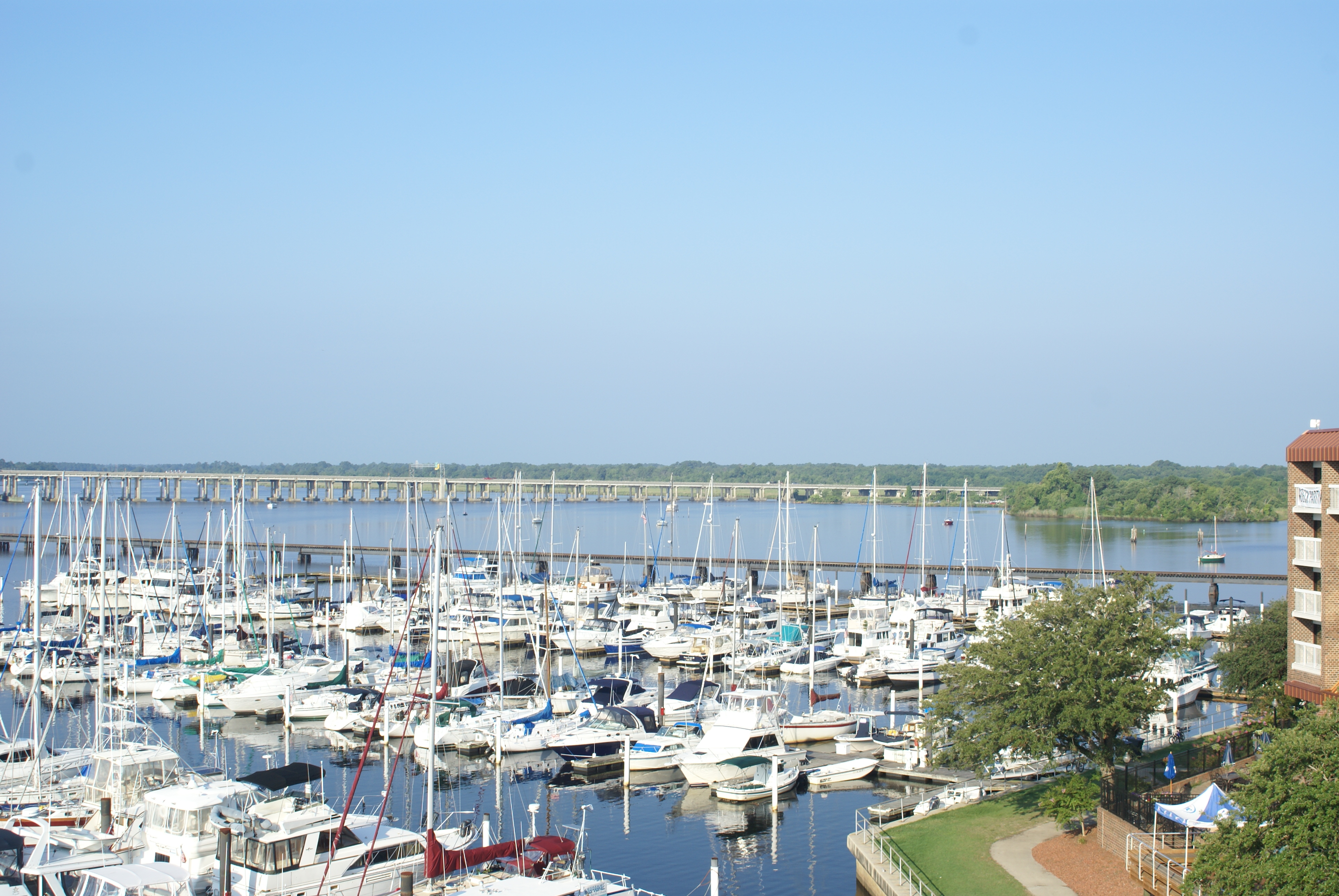
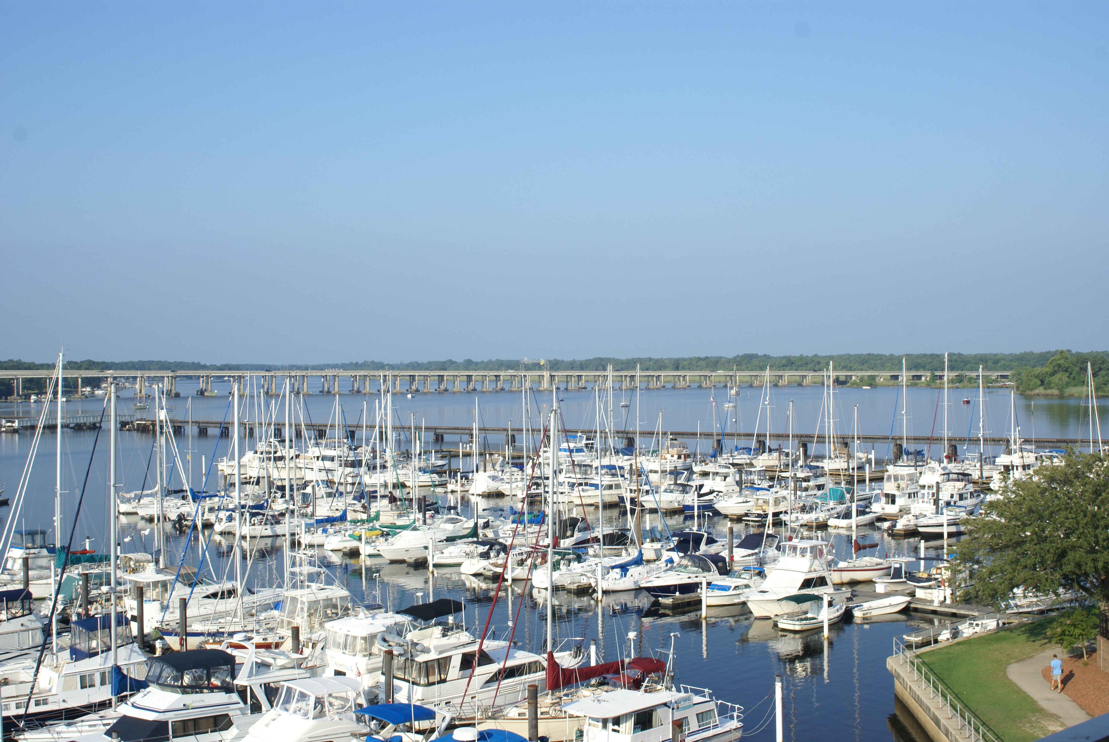
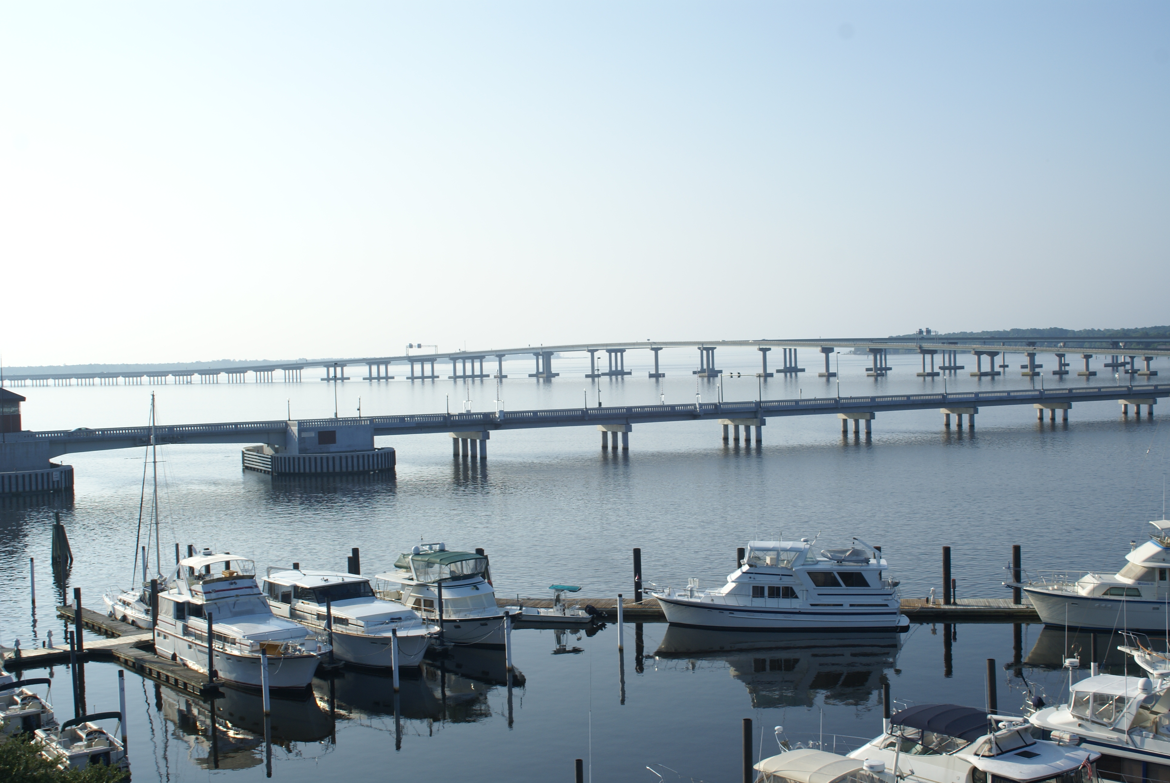
Northwest Marina
Goodbye. Farewell.
Chris's Camera

Baird Creek Pier

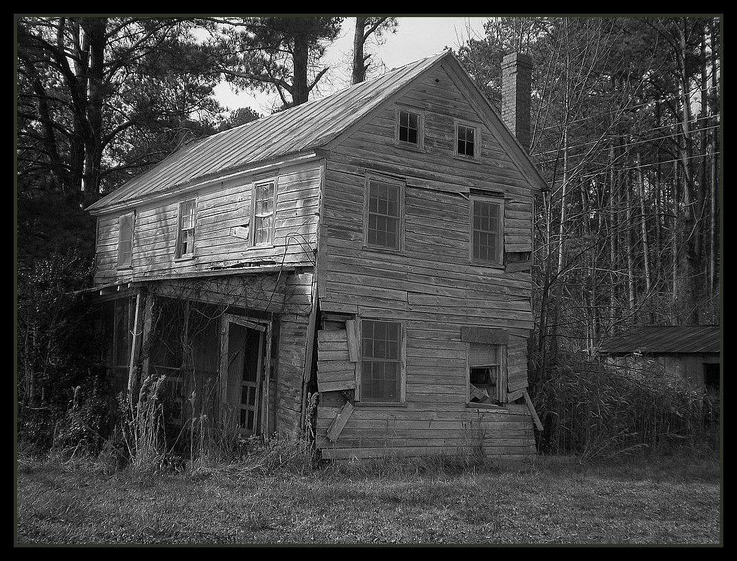
What Once Was
Chris's Camera
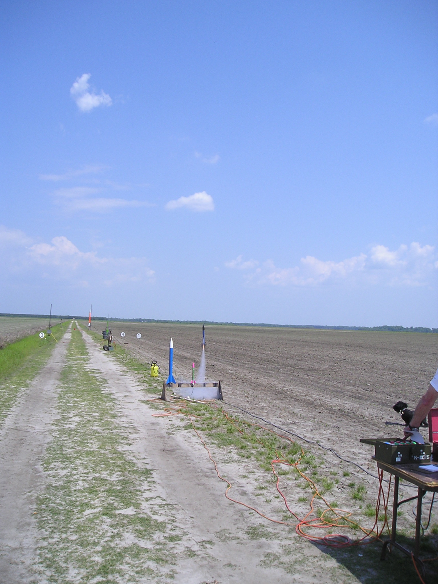
IMG_1114.JPG
P1010030.JPG
P1010033.JPG
P1010038.JPG
P1010026.JPG
Chris's Camera

P1010031.JPG
Chris's Camera
P1010020.JPG
Chris's Camera
P1010021.JPG
P1010029.JPG
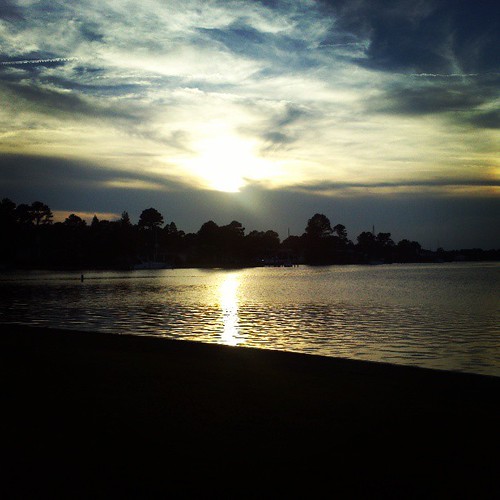
September Sunset

Strange Shadows
'Evening Twilight on Northwest Creek'
Topographic Map of Food Lion, E, NC-55, Grantsboro, NC, USA
Find elevation by address:

Places near Food Lion, E, NC-55, Grantsboro, NC, USA:
Walmart
Old Bay River Road
1446 Old Bay River Rd
686 Nc-306
Grantsboro
1757 Old Bay River Rd
515 Nc-306
493 Main St
941 Nc-306
Campen Road
232 Mill Pond Rd
369 Mill Pond Rd
Alliance
166 Connett Ln
207 Cowell Rd
Hardison Tire & Oil Co
250 Cowell Rd
303 Forest Park Cir
13631 Nc-55
2505 Nc-306
Recent Searches:
- Elevation of Corso Fratelli Cairoli, 35, Macerata MC, Italy
- Elevation of Tallevast Rd, Sarasota, FL, USA
- Elevation of 4th St E, Sonoma, CA, USA
- Elevation of Black Hollow Rd, Pennsdale, PA, USA
- Elevation of Oakland Ave, Williamsport, PA, USA
- Elevation of Pedrógão Grande, Portugal
- Elevation of Klee Dr, Martinsburg, WV, USA
- Elevation of Via Roma, Pieranica CR, Italy
- Elevation of Tavkvetili Mountain, Georgia
- Elevation of Hartfords Bluff Cir, Mt Pleasant, SC, USA