Elevation of Font d'Urle, Bouvante, France
Location: France > Drome > Bouvante >
Longitude: 5.322417
Latitude: 44.8994069
Elevation: 1456m / 4777feet
Barometric Pressure: 85KPa
Elevation Map:
Satellite Map:
Related Photos:
Col du rousset - Alps / la Drome. Alpes Françaises
Col de la Bataille
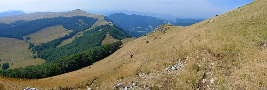
panoramic view on Vercors
Jelly and her Jelly Belly Kit
Ambel's plateau
Topographic Map of Font d'Urle, Bouvante, France
Find elevation by address:

Places near Font d'Urle, Bouvante, France:
Bouvante
Chemin Des Batets
Rhône
Pont Neuf
Romeyer
Die
Rochefort-samson
Drome
14 Pont-de-Quart, Aix-en-Diois, France
Grand Veymont
Aix-en-diois
Mont Aiguille
Gresse-en-vercors
Barnave
88 Le Village, Barnave, France
Châtillon-en-diois
Château Vieux
Château-bernard
Chichilianne
Treschenu-creyers
Recent Searches:
- Elevation of Corso Fratelli Cairoli, 35, Macerata MC, Italy
- Elevation of Tallevast Rd, Sarasota, FL, USA
- Elevation of 4th St E, Sonoma, CA, USA
- Elevation of Black Hollow Rd, Pennsdale, PA, USA
- Elevation of Oakland Ave, Williamsport, PA, USA
- Elevation of Pedrógão Grande, Portugal
- Elevation of Klee Dr, Martinsburg, WV, USA
- Elevation of Via Roma, Pieranica CR, Italy
- Elevation of Tavkvetili Mountain, Georgia
- Elevation of Hartfords Bluff Cir, Mt Pleasant, SC, USA