Elevation of Fold S Rd, Eatonton, GA, USA
Location: United States > Georgia > Putnam County > Eatonton >
Longitude: -83.458143
Latitude: 33.260775
Elevation: 168m / 551feet
Barometric Pressure: 99KPa
Elevation Map:
Satellite Map:
Related Photos:

View From A Tree
Lake Sinclair Campground, Oconee National Forrest, Middle GA
Lake View
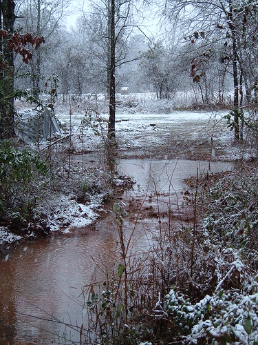
Cedar Creek neg SWWA hab 1
Cedar Creek neg SWWA hab 2

Lakeside View
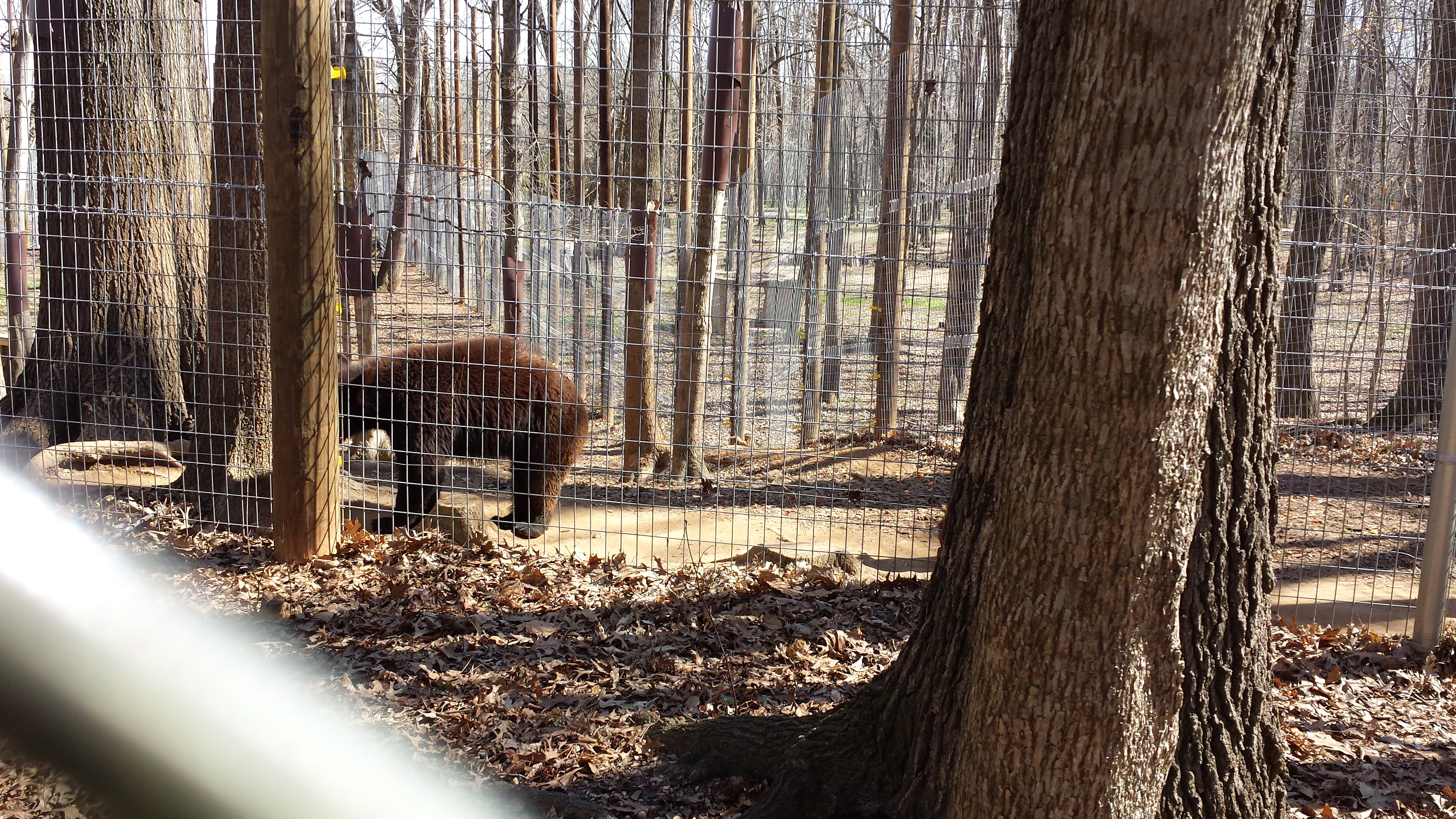
Valentine's Day 2015 - Noahs Ark Animal Sanctuary

Purple Sunset
Kodak Moment of Fail
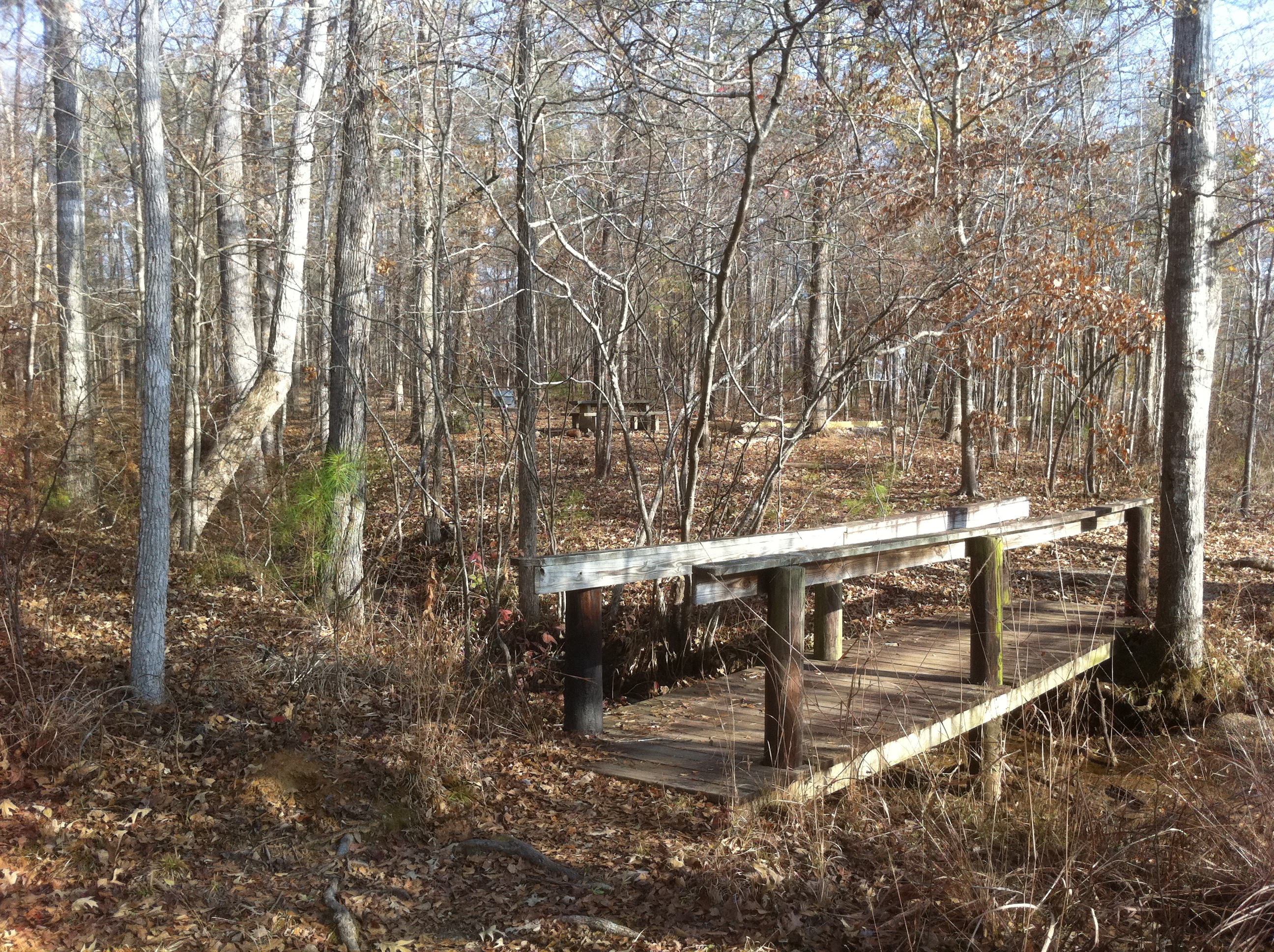
Lake Sinclair Campground, Oconee National Forrest, Middle GA

0126 Price House 1855 Img_8906
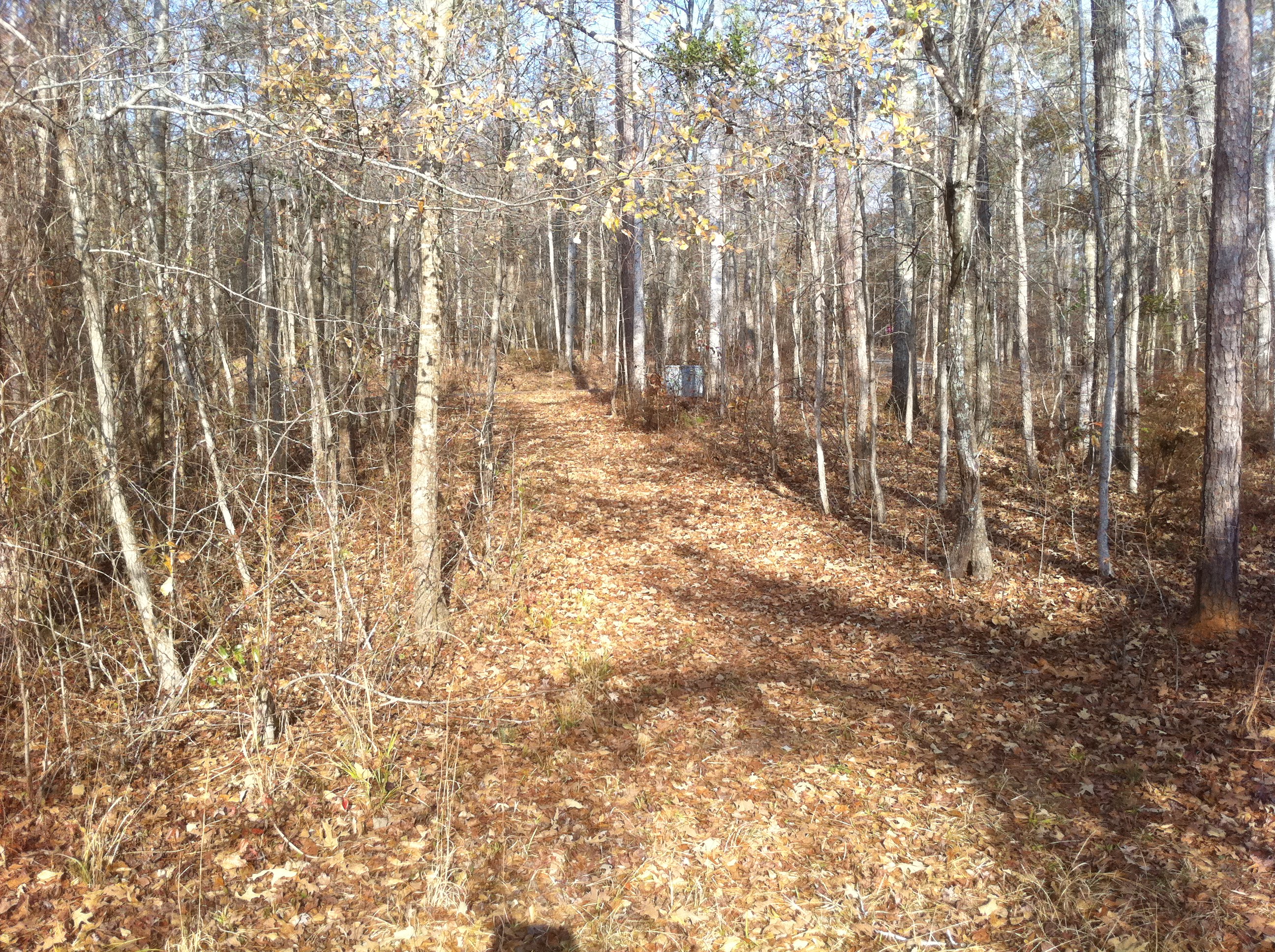
Lake Sinclair Campground, Oconee National Forrest, Middle GA

Lake Sinclair Campground, Oconee National Forrest, Middle GA
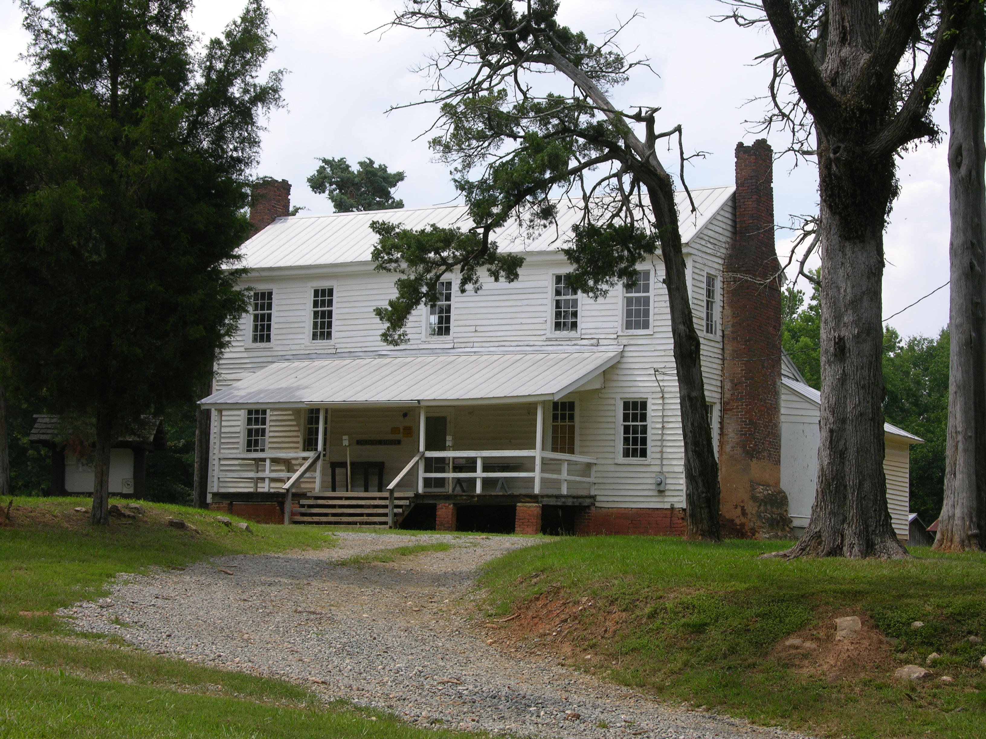
Old Plantation House
Topographic Map of Fold S Rd, Eatonton, GA, USA
Find elevation by address:

Places near Fold S Rd, Eatonton, GA, USA:
100 Horton Dr Sw
Linchburg Rd NW, Eatonton, GA, USA
Linchburg Rd NW, Eatonton, GA, USA
173 Shady Dale Rd Nw
617 Martin Mill Rd
1953 Sprayberry Rd
1953 Sprayberry Rd
Putnam County
Putnam County
Putnam County
Putnam County
Putnam County
Putnam County
Putnam County
Putnam County
Putnam County
Putnam County
Putnam County
Putnam County
Putnam County
Recent Searches:
- Elevation of Corso Fratelli Cairoli, 35, Macerata MC, Italy
- Elevation of Tallevast Rd, Sarasota, FL, USA
- Elevation of 4th St E, Sonoma, CA, USA
- Elevation of Black Hollow Rd, Pennsdale, PA, USA
- Elevation of Oakland Ave, Williamsport, PA, USA
- Elevation of Pedrógão Grande, Portugal
- Elevation of Klee Dr, Martinsburg, WV, USA
- Elevation of Via Roma, Pieranica CR, Italy
- Elevation of Tavkvetili Mountain, Georgia
- Elevation of Hartfords Bluff Cir, Mt Pleasant, SC, USA