Elevation of Foggy Valley, Whitesburg, KY, USA
Location: United States > Kentucky > Letcher County > Whitesburg >
Longitude: -82.876231
Latitude: 37.1608653
Elevation: 429m / 1407feet
Barometric Pressure: 96KPa
Elevation Map:
Satellite Map:
Related Photos:
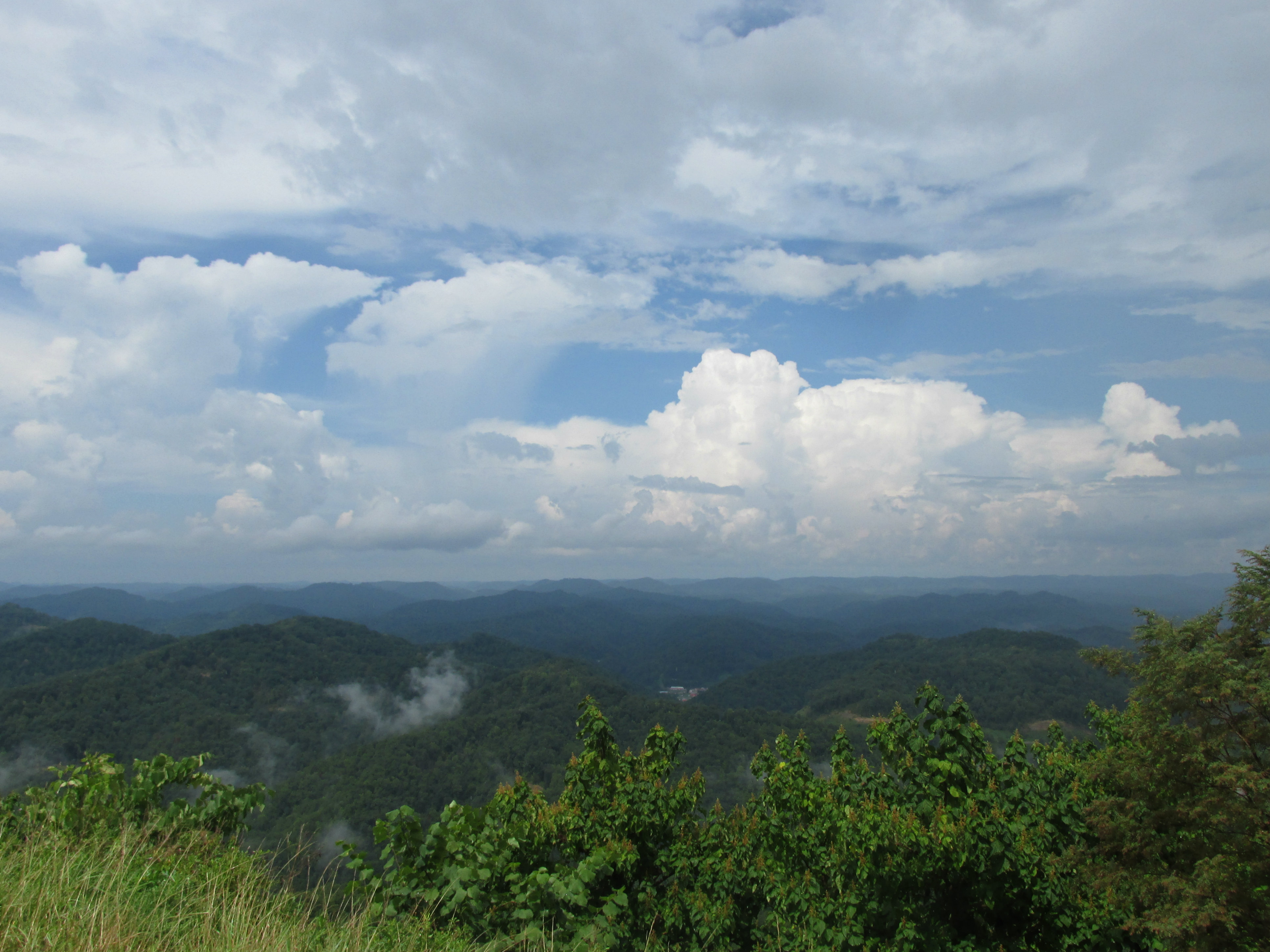
View from Pine Mountain
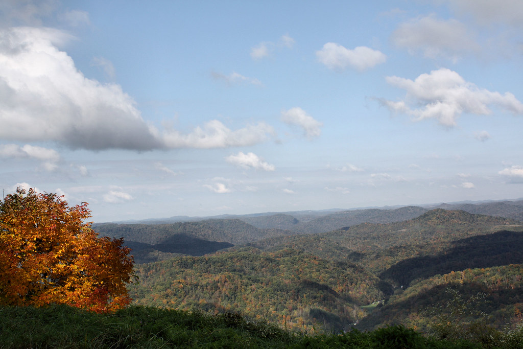
View from Pine Mountain

View from Pine Mt.
Topographic Map of Foggy Valley, Whitesburg, KY, USA
Find elevation by address:

Places near Foggy Valley, Whitesburg, KY, USA:
State Highway 1811
Isom
State Hwy, Isom, KY, USA
Letcher County
KY-7, Whitesburg, KY, USA
Whitco Loop, Whitesburg, KY, USA
Premium
Hickory Rd, Premium, KY, USA
KY-7, Jeremiah, KY, USA
Jeremiah
Cr-, Whitesburg, KY, USA
State Hwy, Isom, KY, USA
Whitesburg
53 State Hwy, Whitesburg, KY, USA
588 Solomon Rd
2456 Kingdom Come Creek Rd
Wolfpen Creek Rd, Redfox, KY, USA
33 Little Cowan Rd, Whitesburg, KY, USA
Crafts Colley Rd, Ermine, KY, USA
Redfox
Recent Searches:
- Elevation of Corso Fratelli Cairoli, 35, Macerata MC, Italy
- Elevation of Tallevast Rd, Sarasota, FL, USA
- Elevation of 4th St E, Sonoma, CA, USA
- Elevation of Black Hollow Rd, Pennsdale, PA, USA
- Elevation of Oakland Ave, Williamsport, PA, USA
- Elevation of Pedrógão Grande, Portugal
- Elevation of Klee Dr, Martinsburg, WV, USA
- Elevation of Via Roma, Pieranica CR, Italy
- Elevation of Tavkvetili Mountain, Georgia
- Elevation of Hartfords Bluff Cir, Mt Pleasant, SC, USA