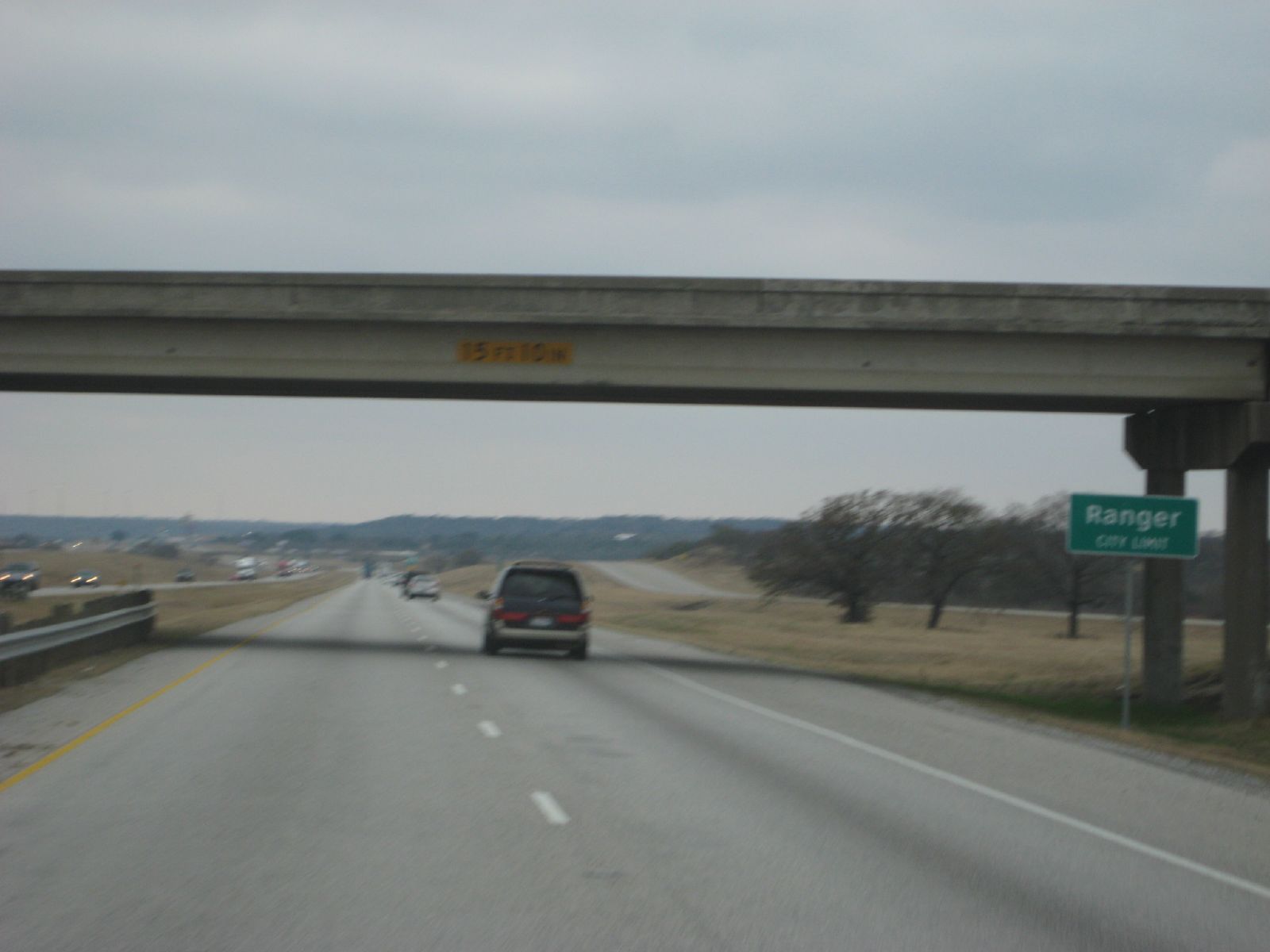
Elevation of FM, Ranger, TX, USA
Location: United States > Texas >
Longitude: -98.690089
Latitude: 32.6013455
Elevation: 442m / 1450feet
Barometric Pressure: 96KPa
Elevation Map:
Satellite Map:
Related Photos:

Motel Vacancy
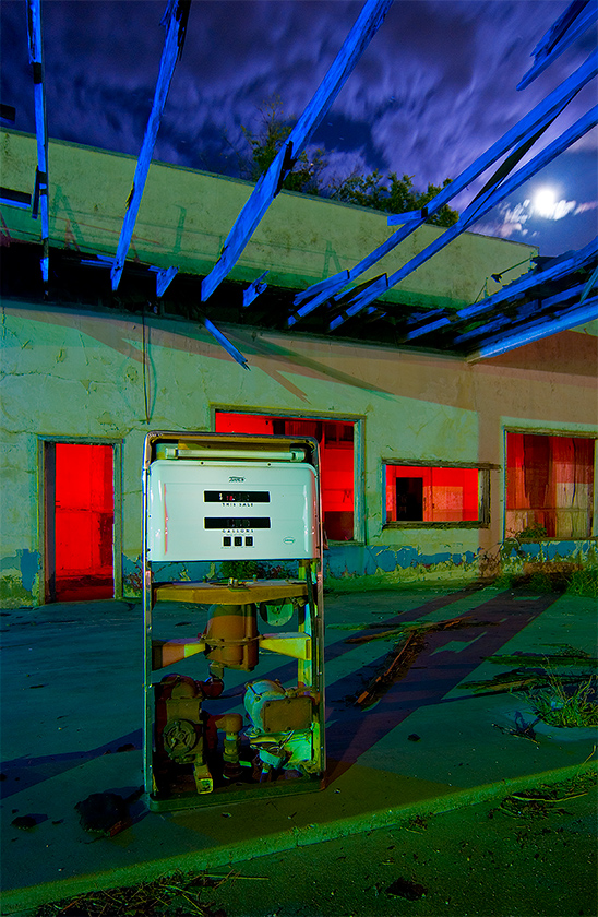
Moon Beams
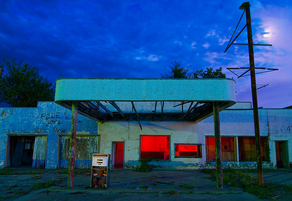
Ranger Auto Repair
drvfrmOK 100
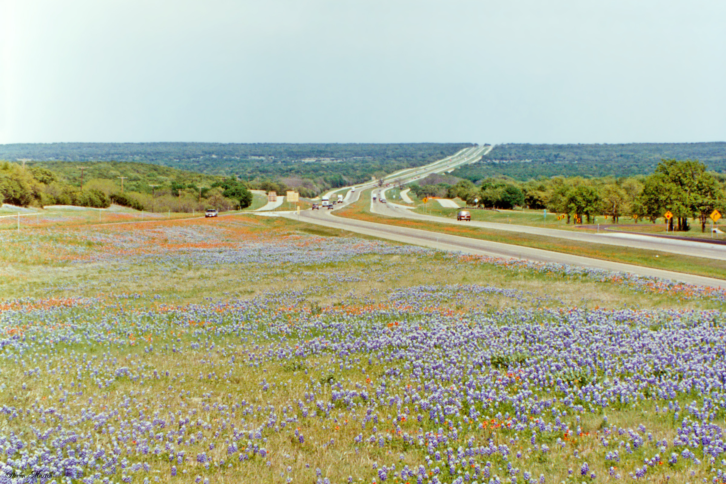
Bluebonnets along I-20 Interchange east of Ranger
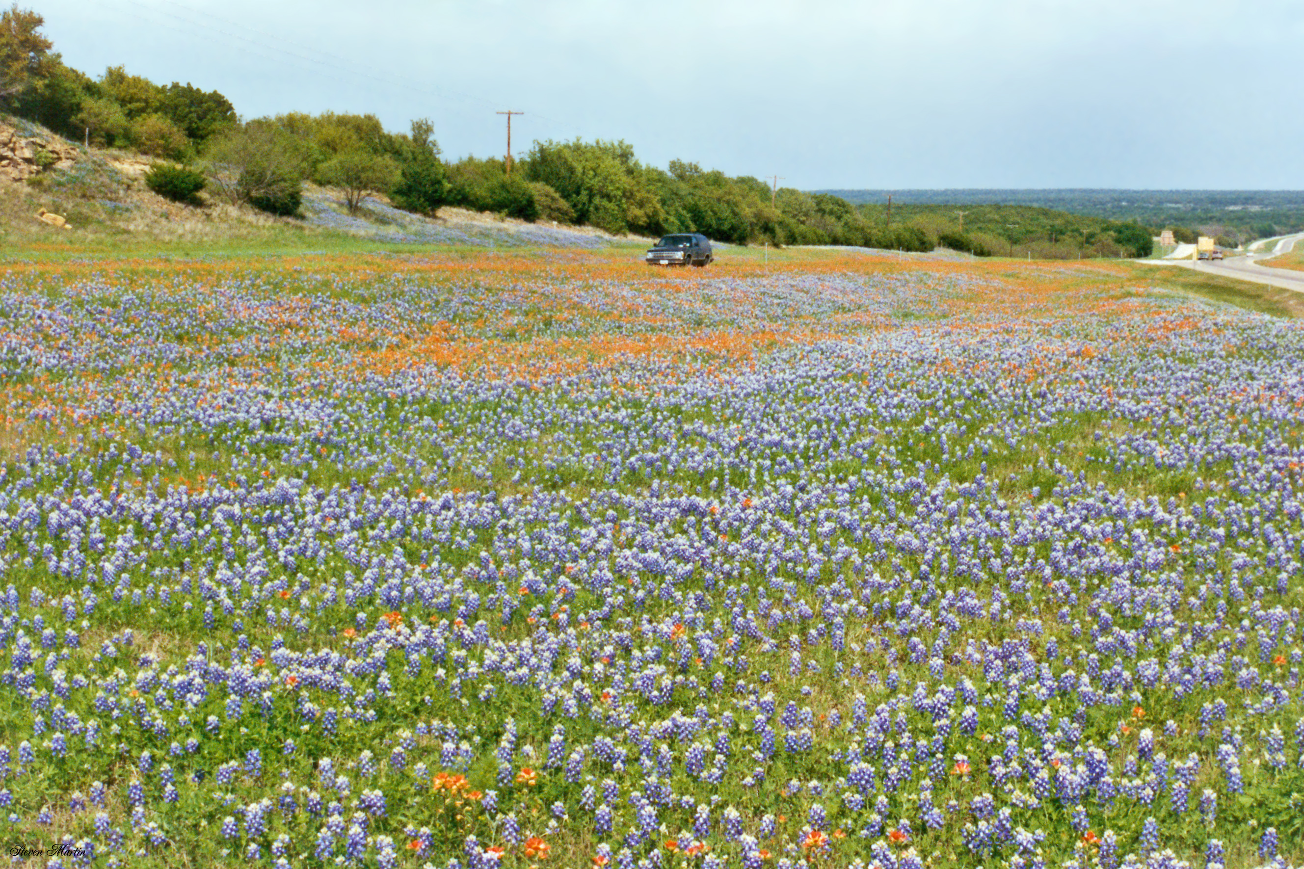
Field of Bluebonnets, east of Ranger
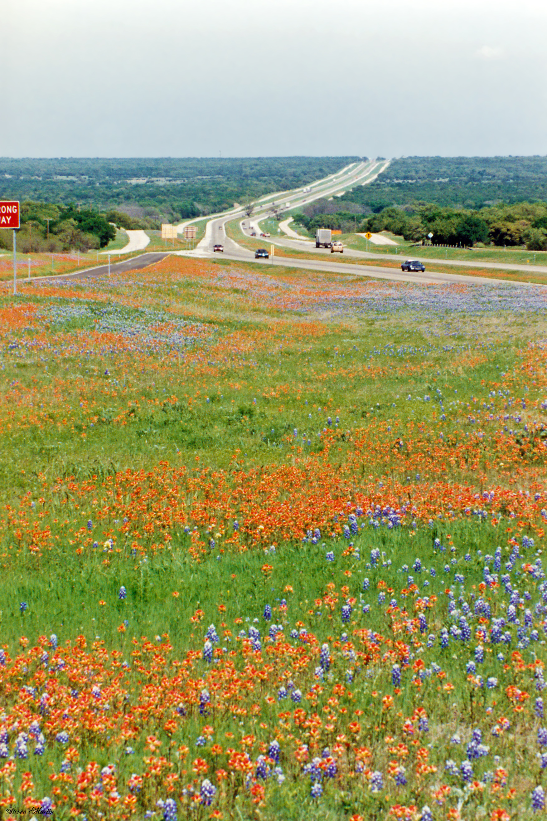
Indian Paintbrush and Bluebonnets at I-20 Interchange east of Ranger
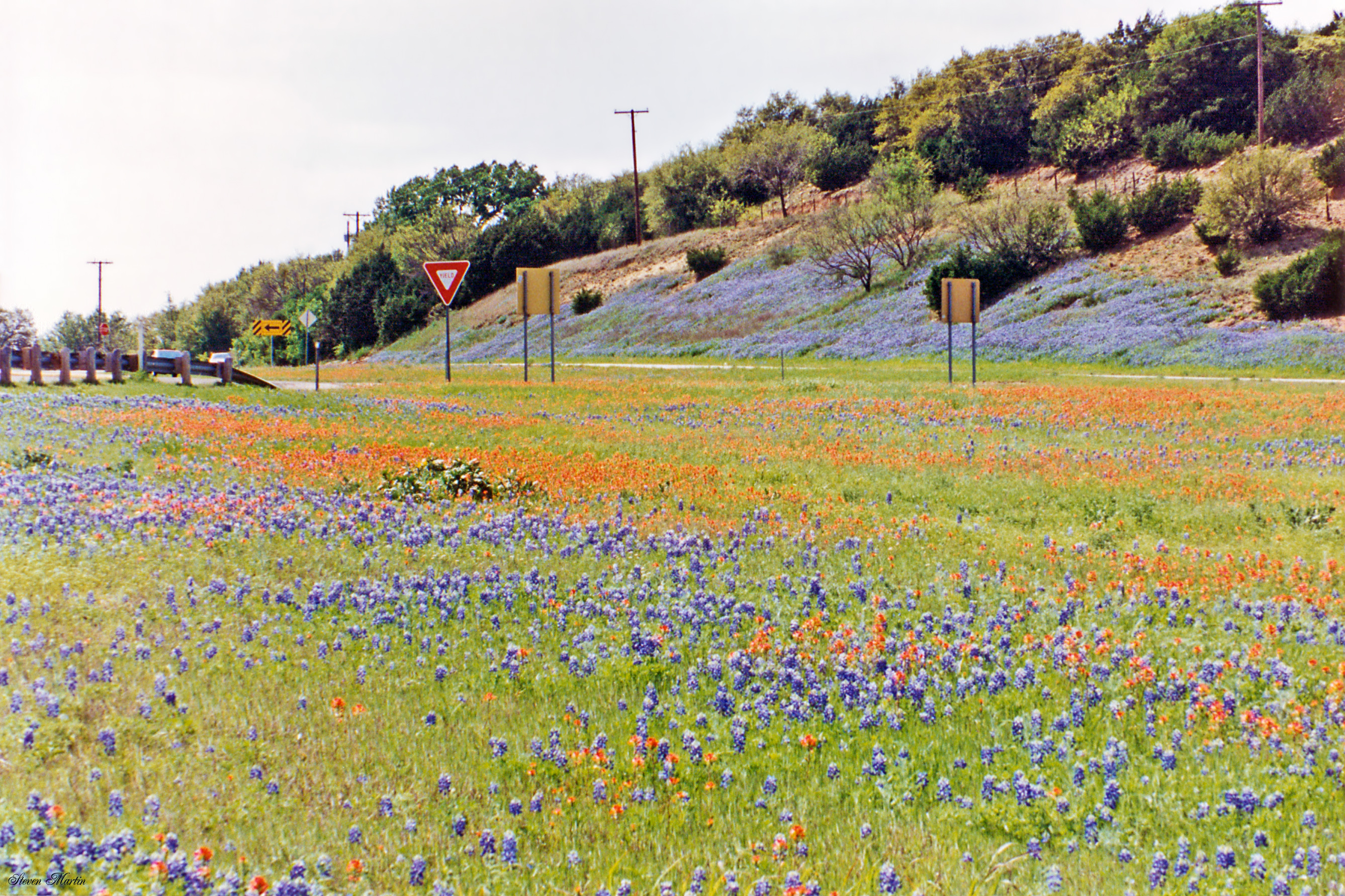
Bluebonnets near I-20 east of Ranger
Topographic Map of FM, Ranger, TX, USA
Find elevation by address:

Places near FM, Ranger, TX, USA:
14445 Fm 717
Ranger
County Road 165
8201 I-20
2402 Tx-112
Strawn
Stephens County
Eastland
Breckenridge
Breckenridge, TX, USA
1264 Co Rd 107
Hells Gate
Co Rd, Breckenridge, TX, USA
9450 Co Rd 204
1859 Holbrook
Lake Cisco
Hubbard Creek Lake
Cisco
College Heights
702 Fm 2945
Recent Searches:
- Elevation of Corso Fratelli Cairoli, 35, Macerata MC, Italy
- Elevation of Tallevast Rd, Sarasota, FL, USA
- Elevation of 4th St E, Sonoma, CA, USA
- Elevation of Black Hollow Rd, Pennsdale, PA, USA
- Elevation of Oakland Ave, Williamsport, PA, USA
- Elevation of Pedrógão Grande, Portugal
- Elevation of Klee Dr, Martinsburg, WV, USA
- Elevation of Via Roma, Pieranica CR, Italy
- Elevation of Tavkvetili Mountain, Georgia
- Elevation of Hartfords Bluff Cir, Mt Pleasant, SC, USA