Elevation of FM, Livingston, TX, USA
Location: United States > Texas > Polk County > Livingston >
Longitude: -94.704347
Latitude: 30.8453181
Elevation: 105m / 344feet
Barometric Pressure: 100KPa
Elevation Map:
Satellite Map:
Related Photos:
DSCN0659.JPG
Where's Waldo?
camp07_44.jpg
DSCN2557.JPG
DSCN2547.JPG
DSCN2559.JPG
TOMBIGBEE TRANQUILITY

Girls Camp 563

Girls Camp 564

Girls Camp 256

Girls Camp 058

Girls Camp 059

Girls Camp 061

Girls Camp 063

Girls Camp 069

Girls Camp 071

Girls Camp 072

Girls Camp 073

Girls Camp 074

Girls Camp 075

Girls Camp 076

Girls Camp 077

Girls Camp 079

Girls Camp 081

ONE HAPPY FAMILY
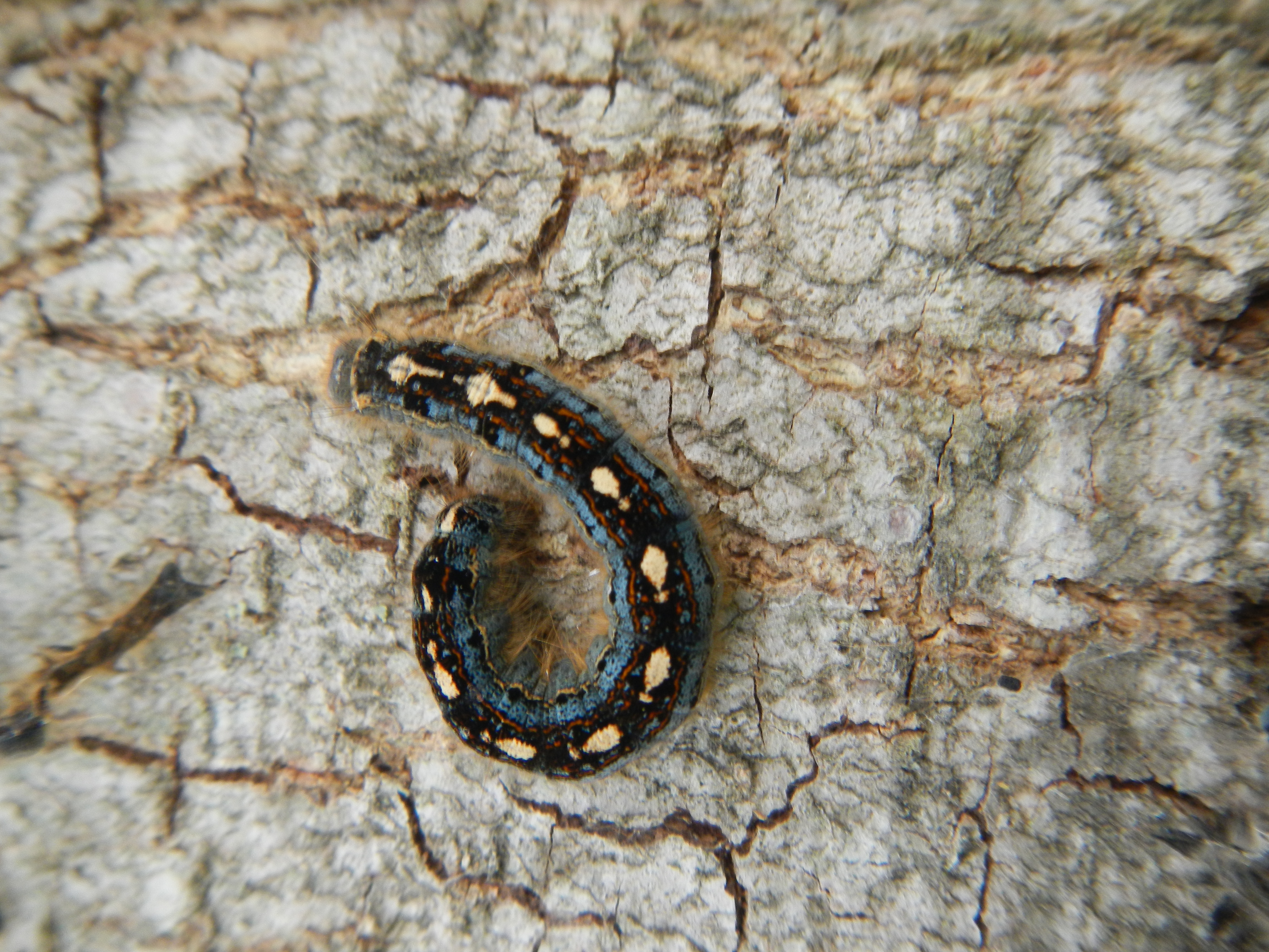
Malacosoma disstria

Texas Rest Area
Topographic Map of FM, Livingston, TX, USA
Find elevation by address:

Places near FM, Livingston, TX, USA:
Sam Martin Road
Sam Martin Road
Camden
Farm To Market 62
Veal St, Chester, TX, USA
Toler Rd, Moscow, TX, USA
Moscow
274 Loop 177
Polk County
FM, Livingston, TX, USA
Old Berring Rd, Moscow, TX, USA
739 Soda Loop E
County Road 2125
575 Encino
1381 Soda Loop W
831 Presidio
844 Presidio
U.s. 190
Old Israel Rd, Livingston, TX, USA
426 Tom Cummings Rd
Recent Searches:
- Elevation of Corso Fratelli Cairoli, 35, Macerata MC, Italy
- Elevation of Tallevast Rd, Sarasota, FL, USA
- Elevation of 4th St E, Sonoma, CA, USA
- Elevation of Black Hollow Rd, Pennsdale, PA, USA
- Elevation of Oakland Ave, Williamsport, PA, USA
- Elevation of Pedrógão Grande, Portugal
- Elevation of Klee Dr, Martinsburg, WV, USA
- Elevation of Via Roma, Pieranica CR, Italy
- Elevation of Tavkvetili Mountain, Georgia
- Elevation of Hartfords Bluff Cir, Mt Pleasant, SC, USA