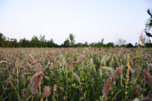
Elevation of FM, Kirbyville, TX, USA
Location: United States > Texas > Newton County > Kirbyville >
Longitude: -93.917358
Latitude: 30.5920134
Elevation: 34m / 112feet
Barometric Pressure: 101KPa
Related Photos:
Topographic Map of FM, Kirbyville, TX, USA
Find elevation by address:

Places near FM, Kirbyville, TX, USA:
Call
301 E Max Lee St
Kirbyville
Co Rd, Buna, TX, USA
2838 Fm 1013
Cougar Country Road
State Highway 87
County Rd, Kirbyville, TX, USA
1787 Co Rd 480
12393 Us-96
12393 Us-96
State Hwy 87, Kirbyville, TX, USA
383 Co Rd 479
383 Co Rd 479
383 Co Rd 479
383 Co Rd 479
383 Co Rd 479
383 Co Rd 479
383 Co Rd 479
12485 State Hwy 87 S
Recent Searches:
- Elevation of Corso Fratelli Cairoli, 35, Macerata MC, Italy
- Elevation of Tallevast Rd, Sarasota, FL, USA
- Elevation of 4th St E, Sonoma, CA, USA
- Elevation of Black Hollow Rd, Pennsdale, PA, USA
- Elevation of Oakland Ave, Williamsport, PA, USA
- Elevation of Pedrógão Grande, Portugal
- Elevation of Klee Dr, Martinsburg, WV, USA
- Elevation of Via Roma, Pieranica CR, Italy
- Elevation of Tavkvetili Mountain, Georgia
- Elevation of Hartfords Bluff Cir, Mt Pleasant, SC, USA


