Elevation of FM, Iowa Park, TX, USA
Location: United States > Texas > Wichita County > Iowa Park >
Longitude: -98.6995
Latitude: 34.088519
Elevation: 339m / 1112feet
Barometric Pressure: 97KPa
Elevation Map:
Satellite Map:
Related Photos:
over the river to texas
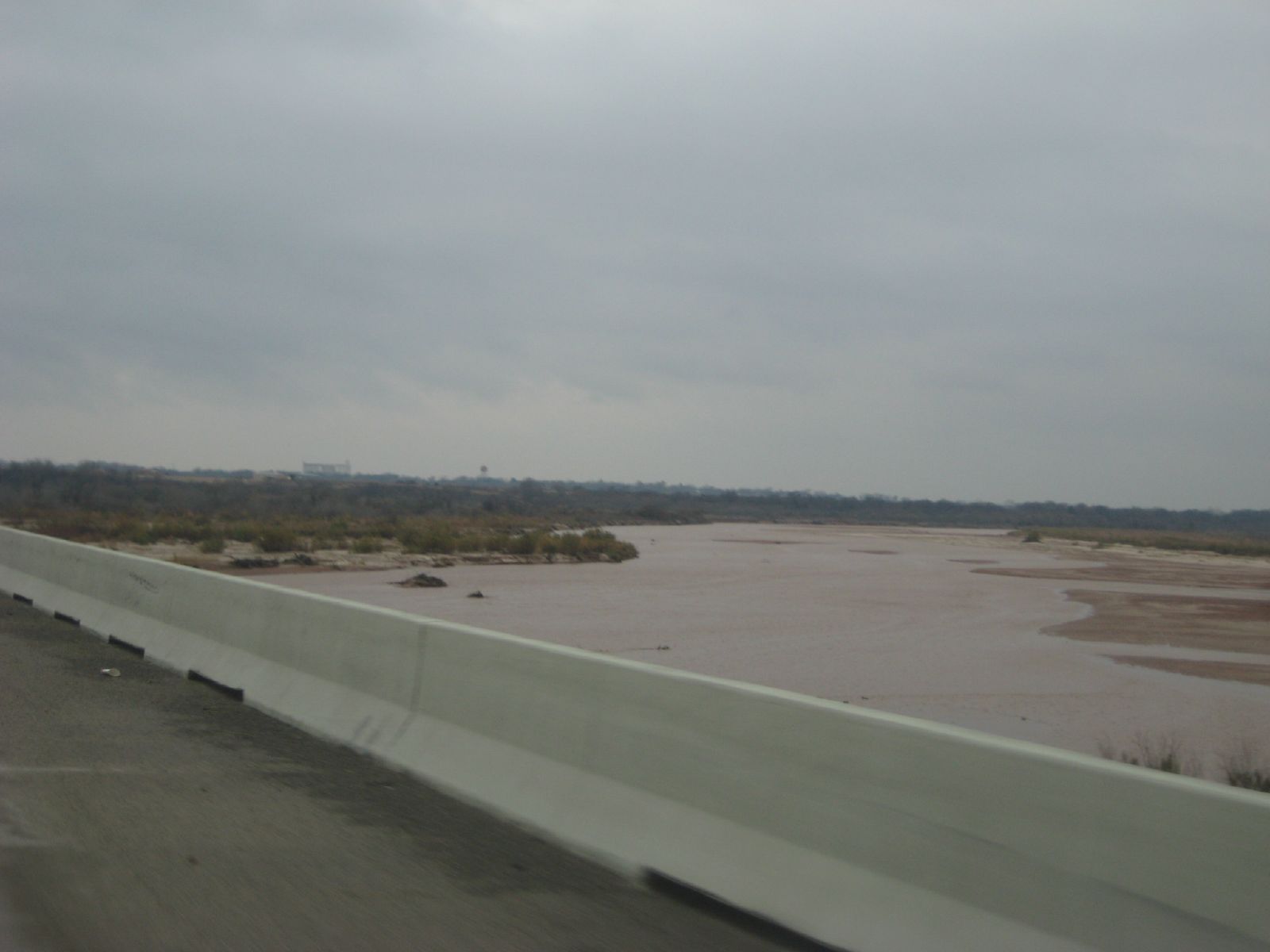
the red river flowing
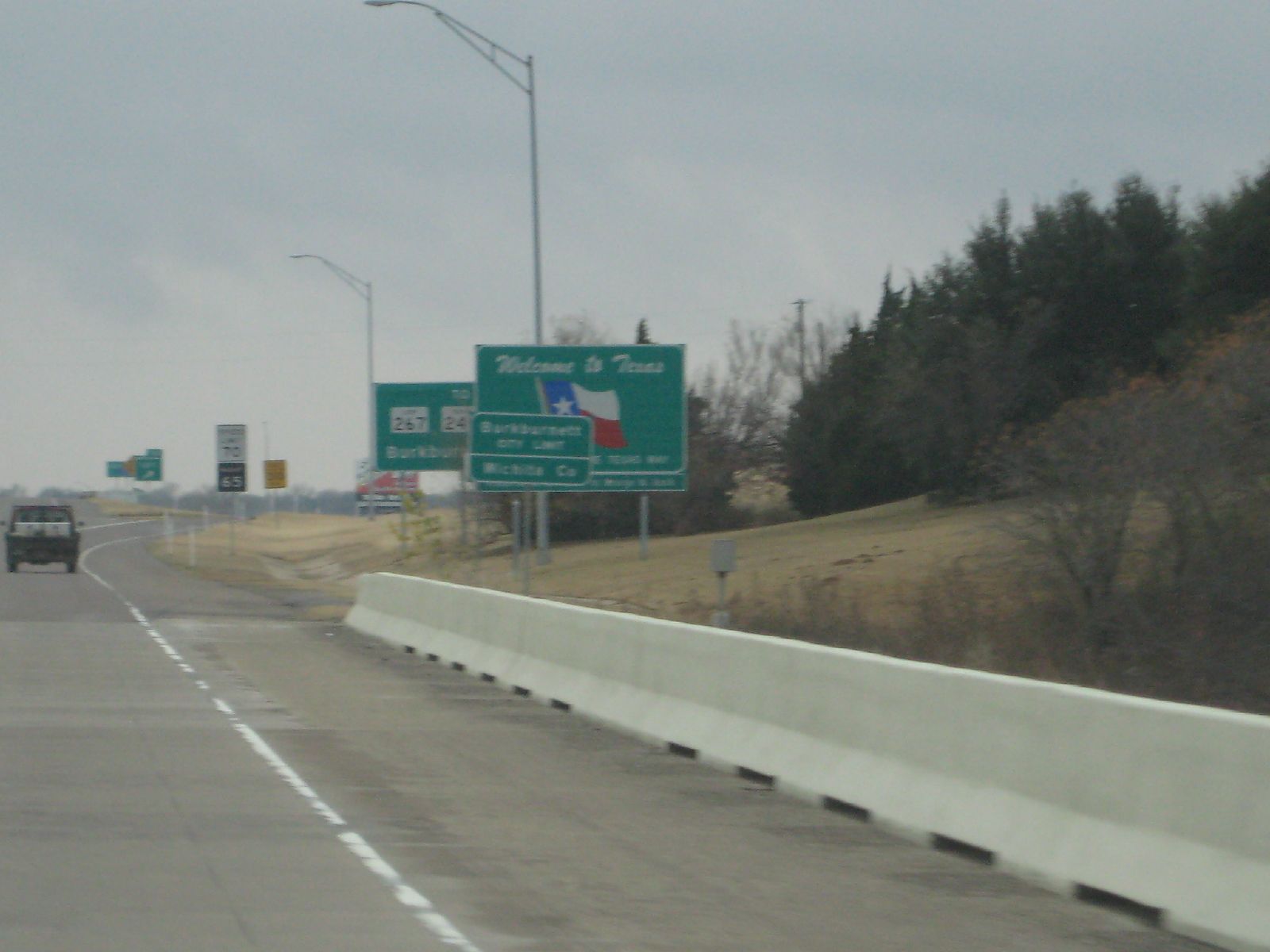
texas border

drvfrmOK 021
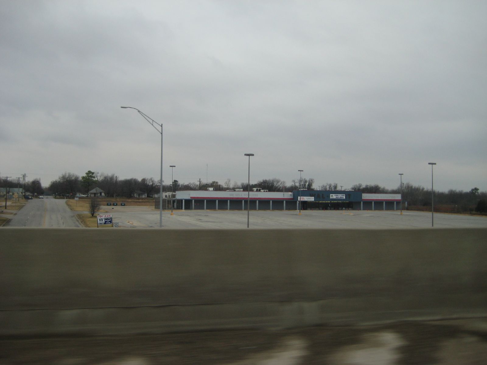
defunct wal-mart

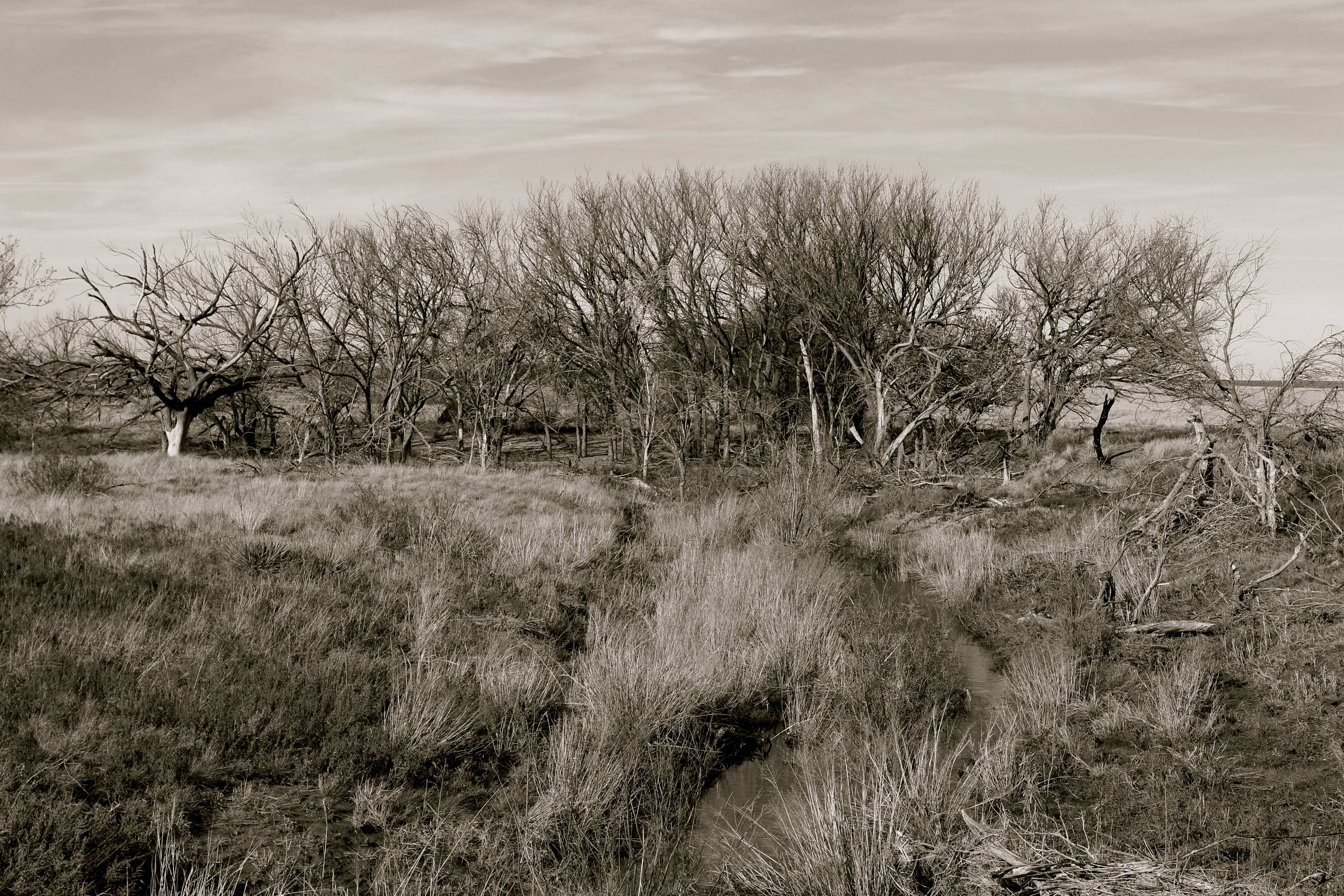
Old barn on the Texas plain, barbed wire
IMG_7043 - Version 2

Fixer-upper west of Burkburnett TX

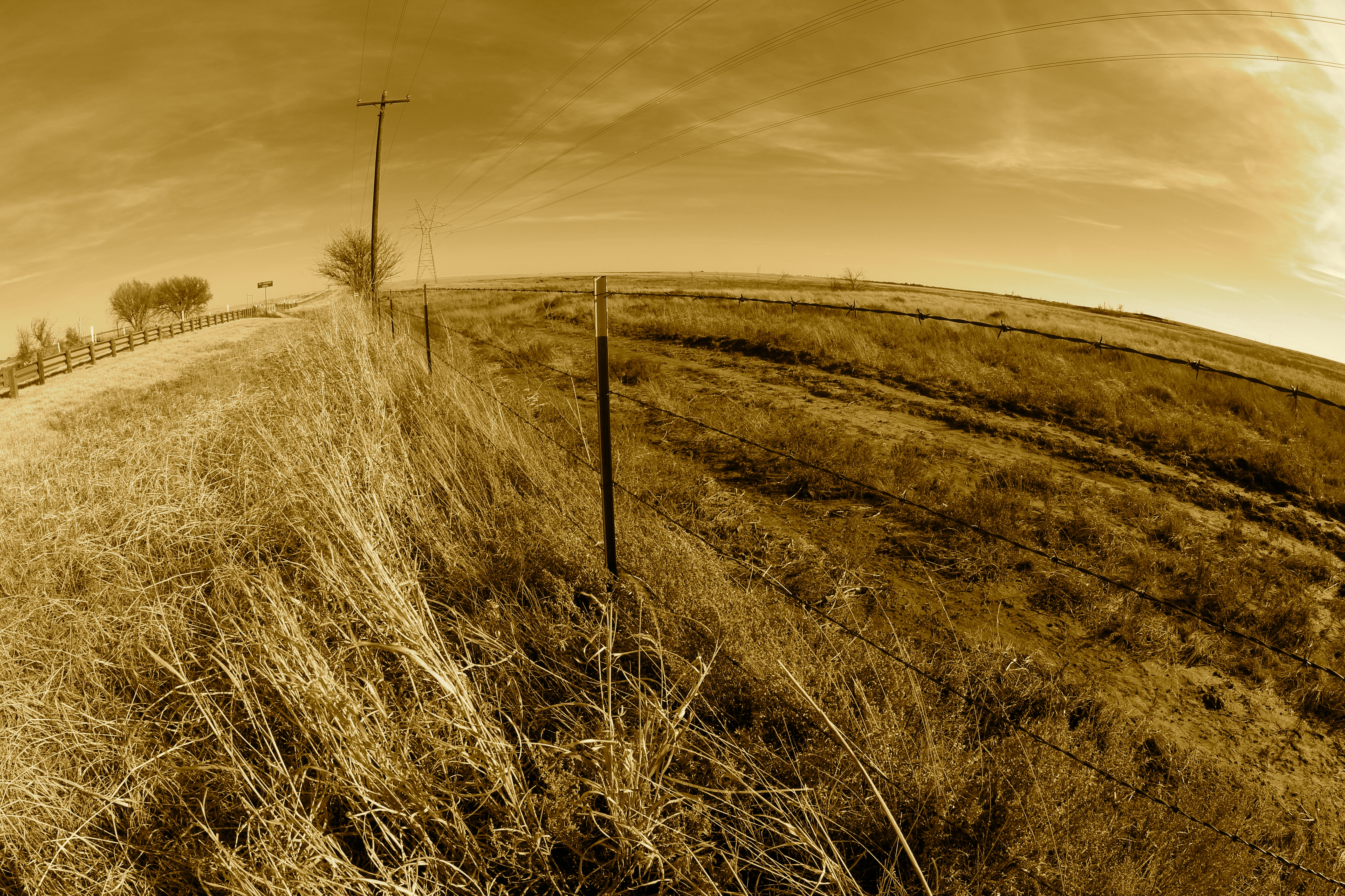
Barbed wire on the high plains
IMG_7050 - Version 2
Topographic Map of FM, Iowa Park, TX, USA
Find elevation by address:

Places near FM, Iowa Park, TX, USA:
Burkburnett, TX, USA
914 Mohawk Dr
Burkburnett
Iowa Park
Wichita County
TX-, Electra, TX, USA
Perkins Rd, Wichita Falls, TX, USA
Sheppard Air Force Base
FM, Iowa Park, TX, USA
Sheppard Air Force Base
Parker Ranch Road
Electra
Oyo Hotel Wichita Falls - Maurine St.
Quail Ridge Road
Lucy Park
1414 Tilden St
3400 Nottinghill Ln
6200 Talon Trail
TX-, Electra, TX, USA
Wichita Falls
Recent Searches:
- Elevation of Corso Fratelli Cairoli, 35, Macerata MC, Italy
- Elevation of Tallevast Rd, Sarasota, FL, USA
- Elevation of 4th St E, Sonoma, CA, USA
- Elevation of Black Hollow Rd, Pennsdale, PA, USA
- Elevation of Oakland Ave, Williamsport, PA, USA
- Elevation of Pedrógão Grande, Portugal
- Elevation of Klee Dr, Martinsburg, WV, USA
- Elevation of Via Roma, Pieranica CR, Italy
- Elevation of Tavkvetili Mountain, Georgia
- Elevation of Hartfords Bluff Cir, Mt Pleasant, SC, USA