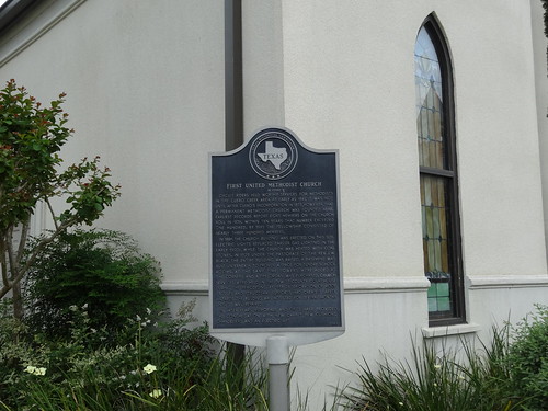
Elevation of FM, Cuero, TX, USA
Location: United States > Texas > Dewitt County > Cuero >
Longitude: -97.264168
Latitude: 28.9829834
Elevation: 73m / 240feet
Barometric Pressure: 100KPa
Related Photos:
Topographic Map of FM, Cuero, TX, USA
Find elevation by address:

Places near FM, Cuero, TX, USA:
523 S Esplanade St
Cuero
700 2nd St
303 W Bailey St
207 W Johnson St
910 N Indianola St
1160 Fm 1447
305 Stirrup Rd
2592 Fm 1447
2592 Fm 1447
Lindenau Rd, Cuero, TX, USA
Dewitt County
3977 Lower Mission Valley Rd
1089 Edgar-leesville Rd
3018 Levi Sloan Rd
101 Taylorcrest Dr
FM, Yoakum, TX, USA
302 Royal Oak Dr
SW Moody St, Victoria, TX, USA
Fannin
Recent Searches:
- Elevation of Corso Fratelli Cairoli, 35, Macerata MC, Italy
- Elevation of Tallevast Rd, Sarasota, FL, USA
- Elevation of 4th St E, Sonoma, CA, USA
- Elevation of Black Hollow Rd, Pennsdale, PA, USA
- Elevation of Oakland Ave, Williamsport, PA, USA
- Elevation of Pedrógão Grande, Portugal
- Elevation of Klee Dr, Martinsburg, WV, USA
- Elevation of Via Roma, Pieranica CR, Italy
- Elevation of Tavkvetili Mountain, Georgia
- Elevation of Hartfords Bluff Cir, Mt Pleasant, SC, USA
