Elevation of FM, Coleman, TX, USA
Location: United States > Texas >
Longitude: -99.637548
Latitude: 31.8656986
Elevation: 605m / 1985feet
Barometric Pressure: 94KPa
Elevation Map:
Satellite Map:
Related Photos:

Nowheresville, TX
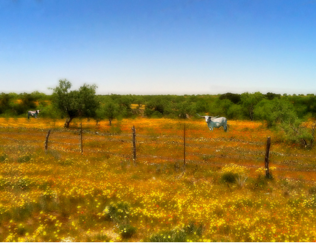
"Do You Know The Way to Santa Fe?"
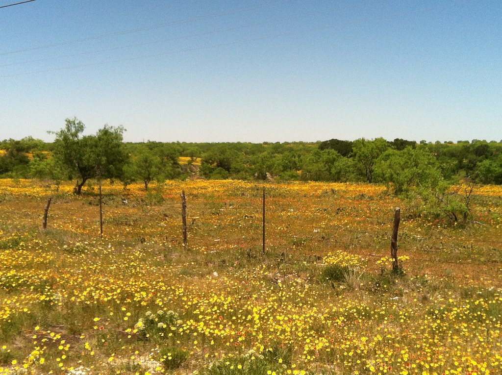
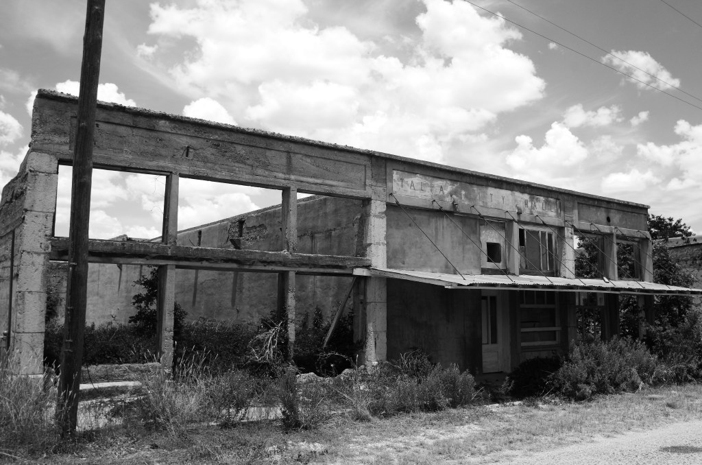
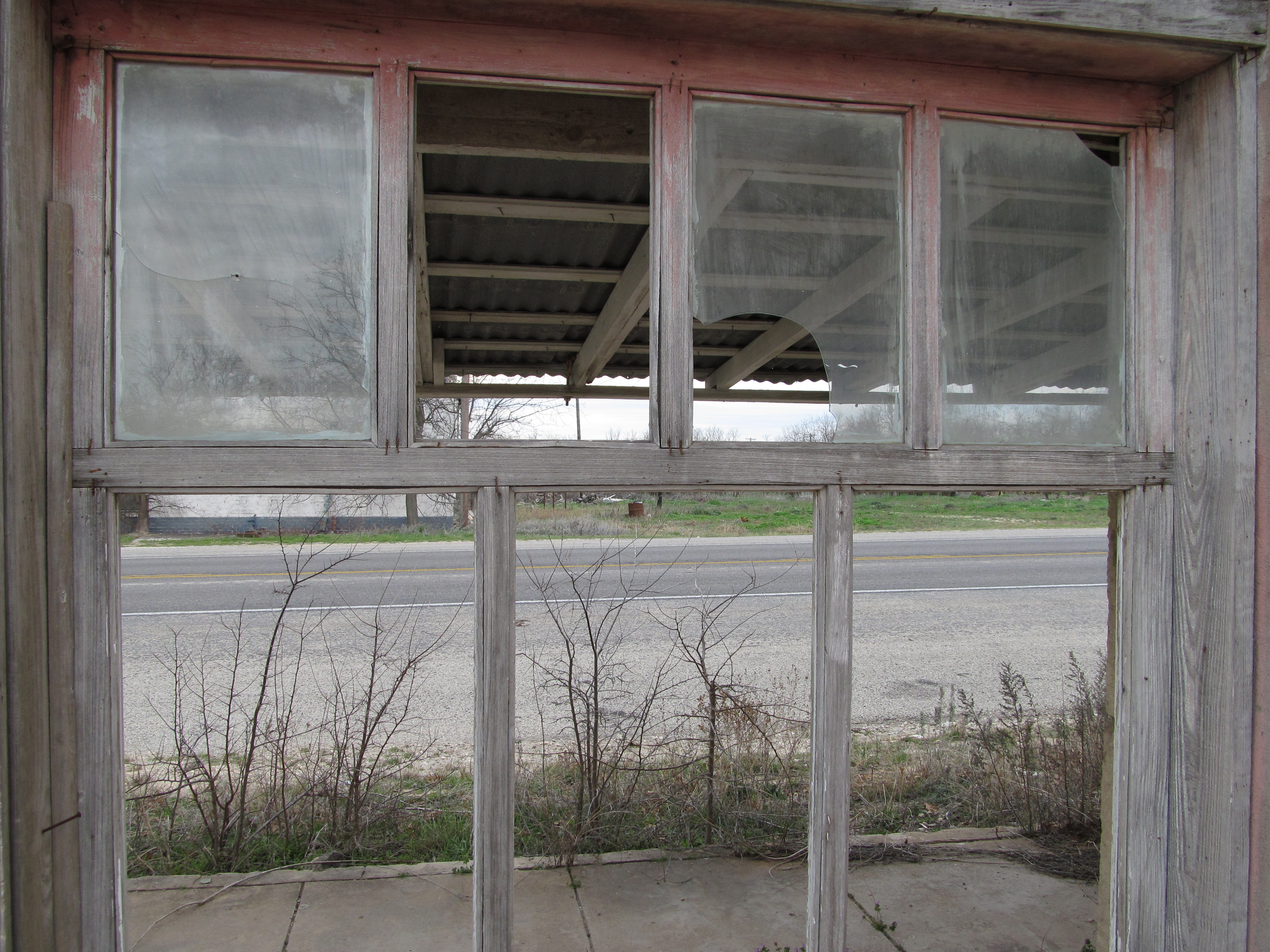
Coleman, Texas (before shot)
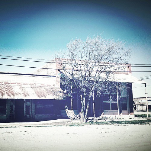
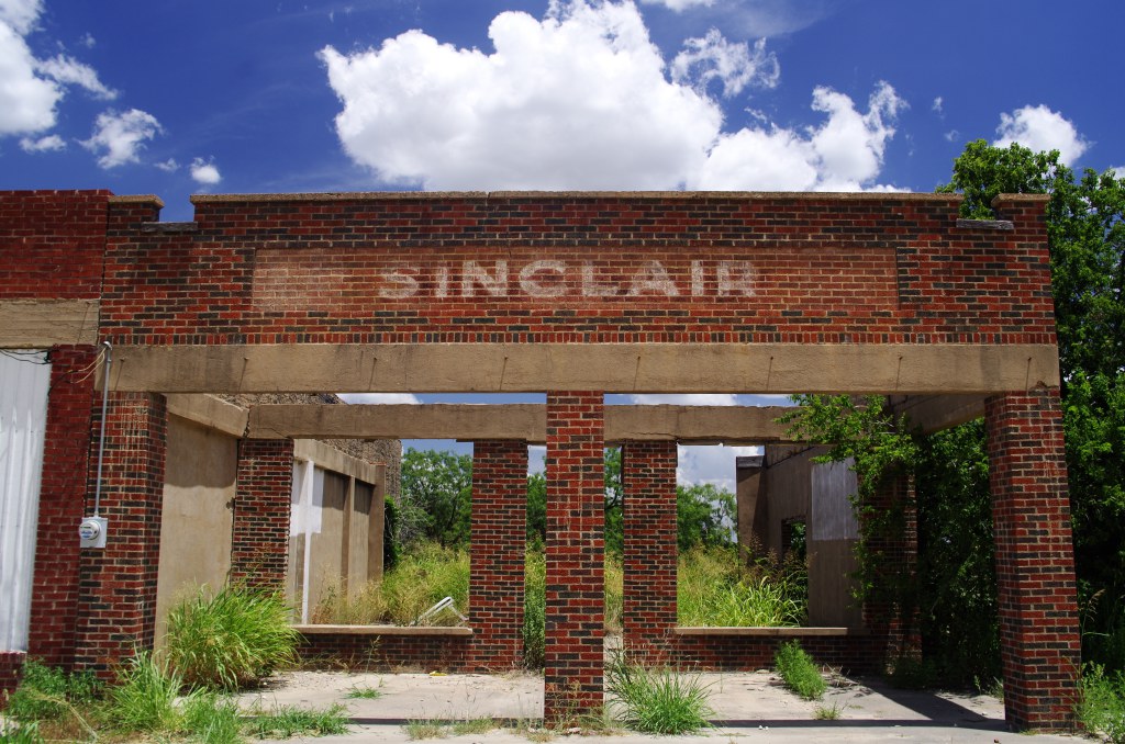
Ghost town stores #talpatx #abandoned #ghosttown #stupidtree
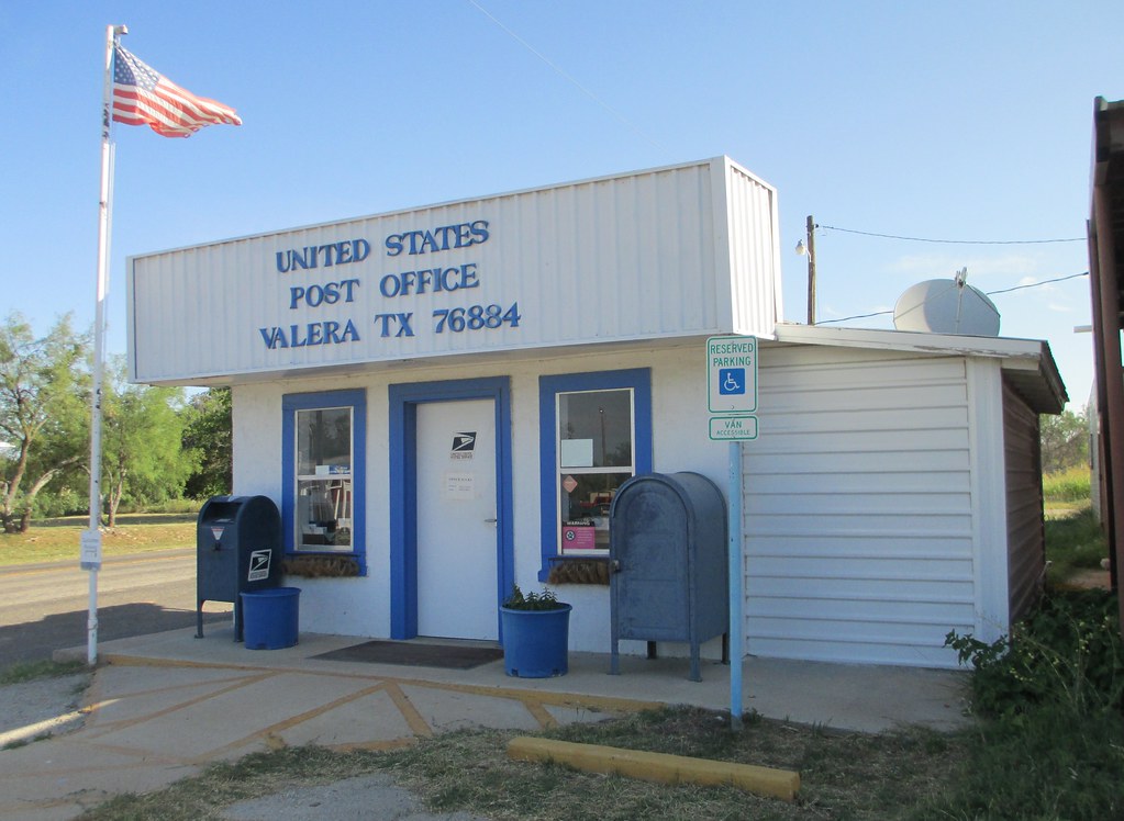
Post Office 76884 (Valera, Texas)
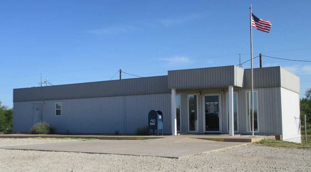
Post Office 76882 (Talpa, Texas)
Talpa, Texas, on US 67
Talpa, Texas, on US 67
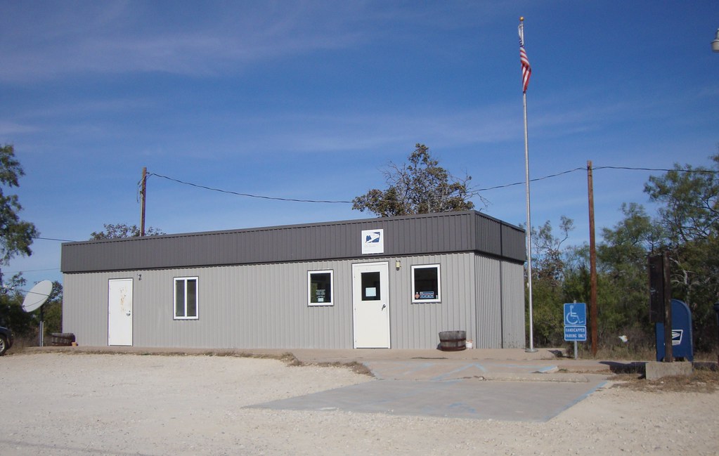
Post Office 79538 (Novice, Texas)
Talpa, Texas

Novice Fireworks Show 07022011

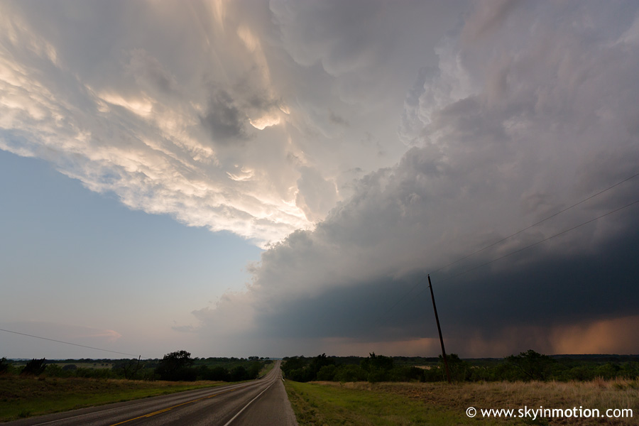
Texas Sky
2011-04-25_5842
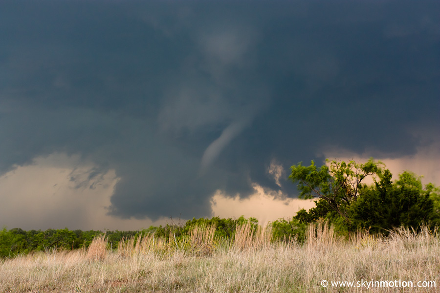
2011-04-25_5857
Topographic Map of FM, Coleman, TX, USA
Find elevation by address:

Places near FM, Coleman, TX, USA:
Talpa
Novice
10 TX-, Coleman, TX, USA
Coleman
Coleman County
Lawn, TX, USA
Main St, Lawn, TX, USA
Lawn
County Road
801 Wallis Ave
Santa Anna
Windmill Crossing Road
Ovalo
FM, Ovalo, TX, USA
150 Co Rd 258
Concho
1034 Farm To Market Rd 613
Tuscola
Taylor County
10084 Co Rd 224
Recent Searches:
- Elevation of Corso Fratelli Cairoli, 35, Macerata MC, Italy
- Elevation of Tallevast Rd, Sarasota, FL, USA
- Elevation of 4th St E, Sonoma, CA, USA
- Elevation of Black Hollow Rd, Pennsdale, PA, USA
- Elevation of Oakland Ave, Williamsport, PA, USA
- Elevation of Pedrógão Grande, Portugal
- Elevation of Klee Dr, Martinsburg, WV, USA
- Elevation of Via Roma, Pieranica CR, Italy
- Elevation of Tavkvetili Mountain, Georgia
- Elevation of Hartfords Bluff Cir, Mt Pleasant, SC, USA