Elevation map of Flores Department, Uruguay
Location: Uruguay >
Longitude: -56.898456
Latitude: -33.516942
Elevation: 143m / 469feet
Barometric Pressure: 100KPa
Elevation Map:
Satellite Map:
Related Photos:

Modelo
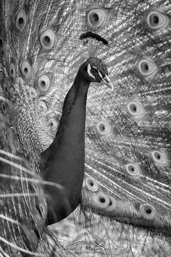
Eyed feathers

Aix galericulata

Pavo cristatus

Tratando de mantener el equilibrio en el universo. No es fácil ????

Bubulcus ibis
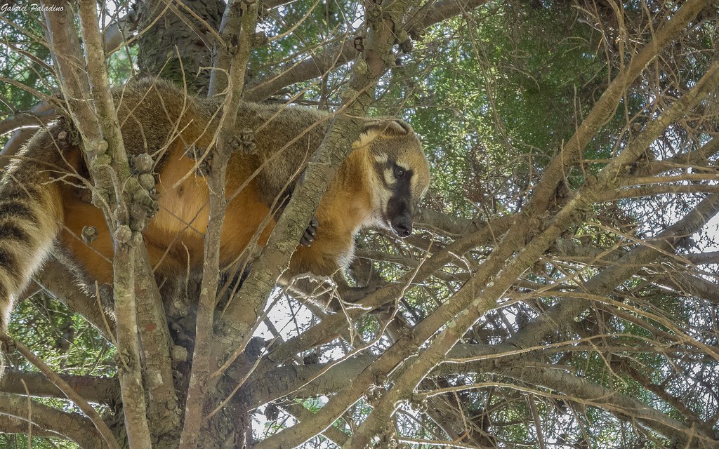
Nasua nasua

Platalea ajaja

Macaca fuscata

En busca de sus raíces
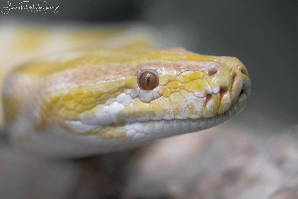
Boa constrictor

Proud mama duck

Wet look

Posing Capuchin Monkey

Three little ducklings

Alouatta caraya
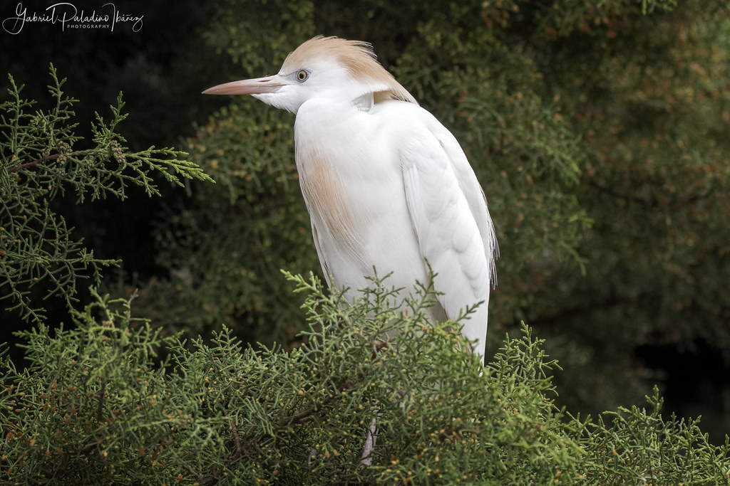
Bubulcus ibis

Geranoaetus melanoleucus

Alouatta caraya
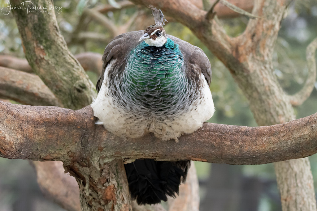
Pavo cristatus
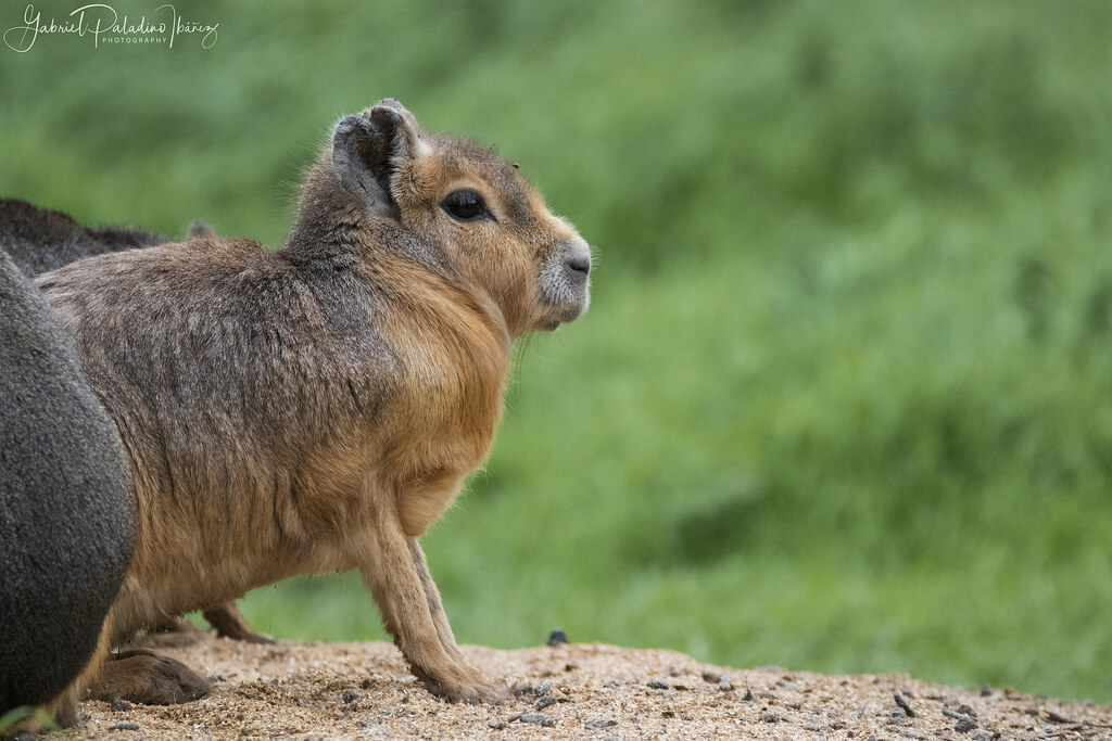
Dolichotis patagonum

B A L A N C E
Topographic Map of Flores Department, Uruguay
Find elevation by address:

Places near Flores Department, Uruguay:
Recent Searches:
- Elevation of Corso Fratelli Cairoli, 35, Macerata MC, Italy
- Elevation of Tallevast Rd, Sarasota, FL, USA
- Elevation of 4th St E, Sonoma, CA, USA
- Elevation of Black Hollow Rd, Pennsdale, PA, USA
- Elevation of Oakland Ave, Williamsport, PA, USA
- Elevation of Pedrógão Grande, Portugal
- Elevation of Klee Dr, Martinsburg, WV, USA
- Elevation of Via Roma, Pieranica CR, Italy
- Elevation of Tavkvetili Mountain, Georgia
- Elevation of Hartfords Bluff Cir, Mt Pleasant, SC, USA