Elevation of Fletcher, VT, USA
Location: United States > Vermont > Franklin County >
Longitude: -72.923841
Latitude: 44.6752213
Elevation: 178m / 584feet
Barometric Pressure: 99KPa
Elevation Map:
Satellite Map:
Related Photos:
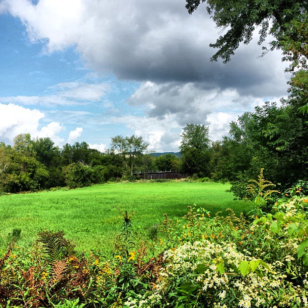
View of the field off East Road
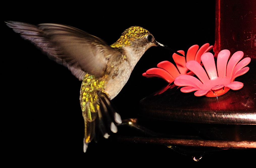
Female Ruby-throated hummingbird
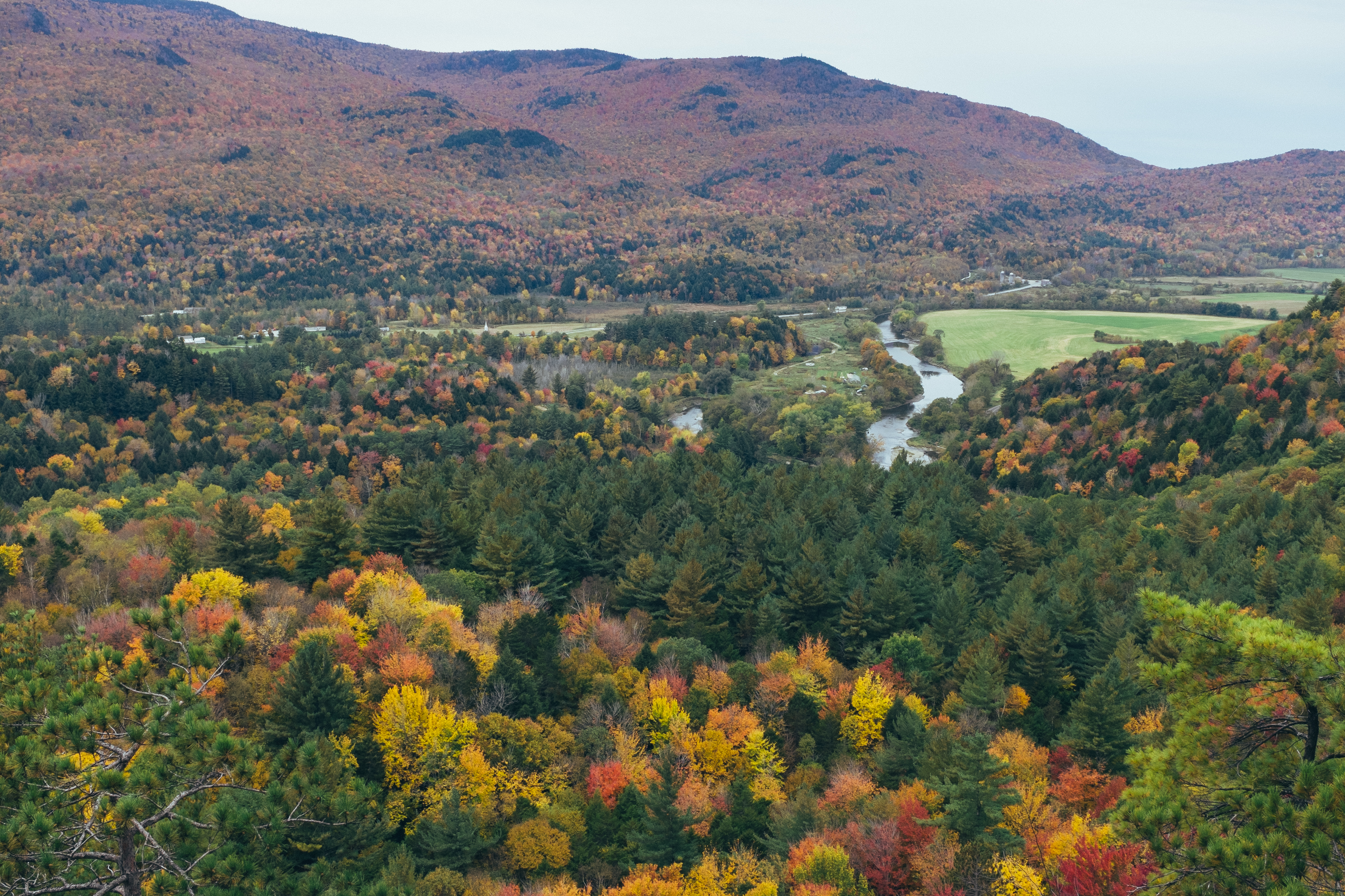
View from Hardscrabble Road
Prospect Rock
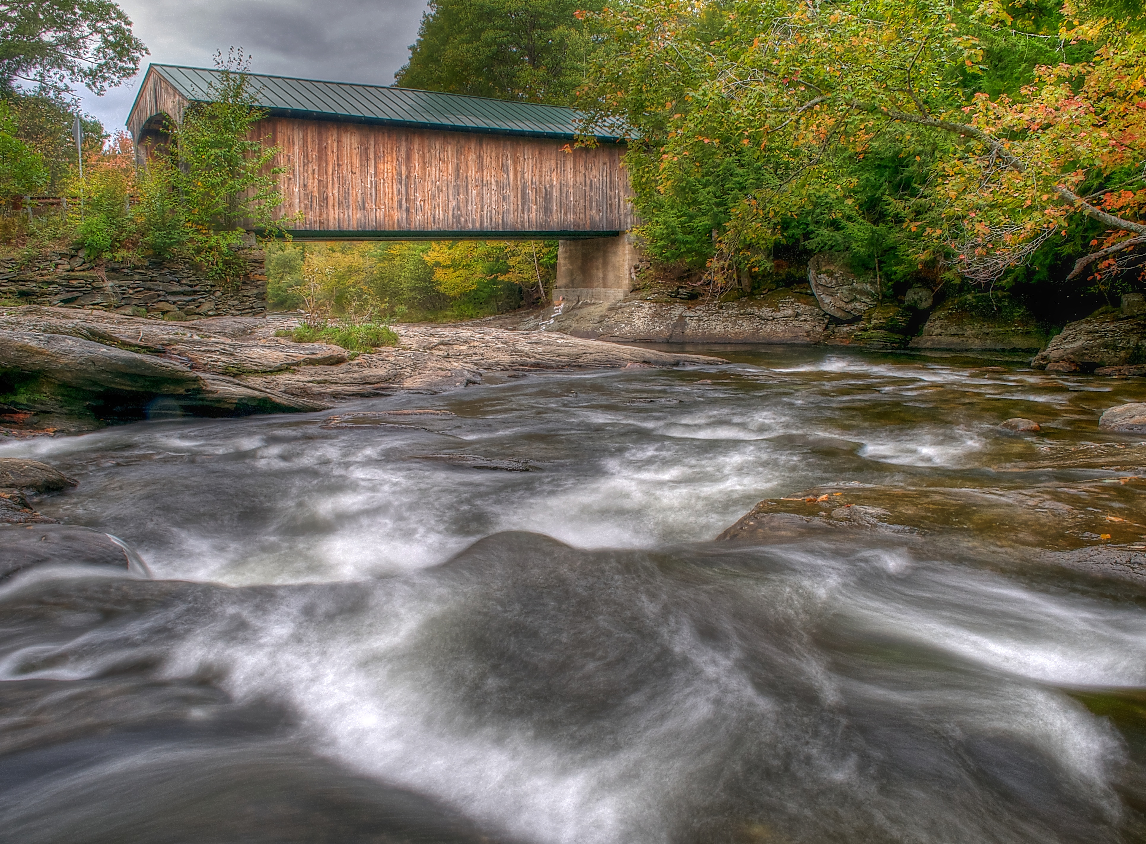
A Side-View of the Grist Mill Covered Bridge, Green Mountains, Vermont (VT) (DSH_5400-01)

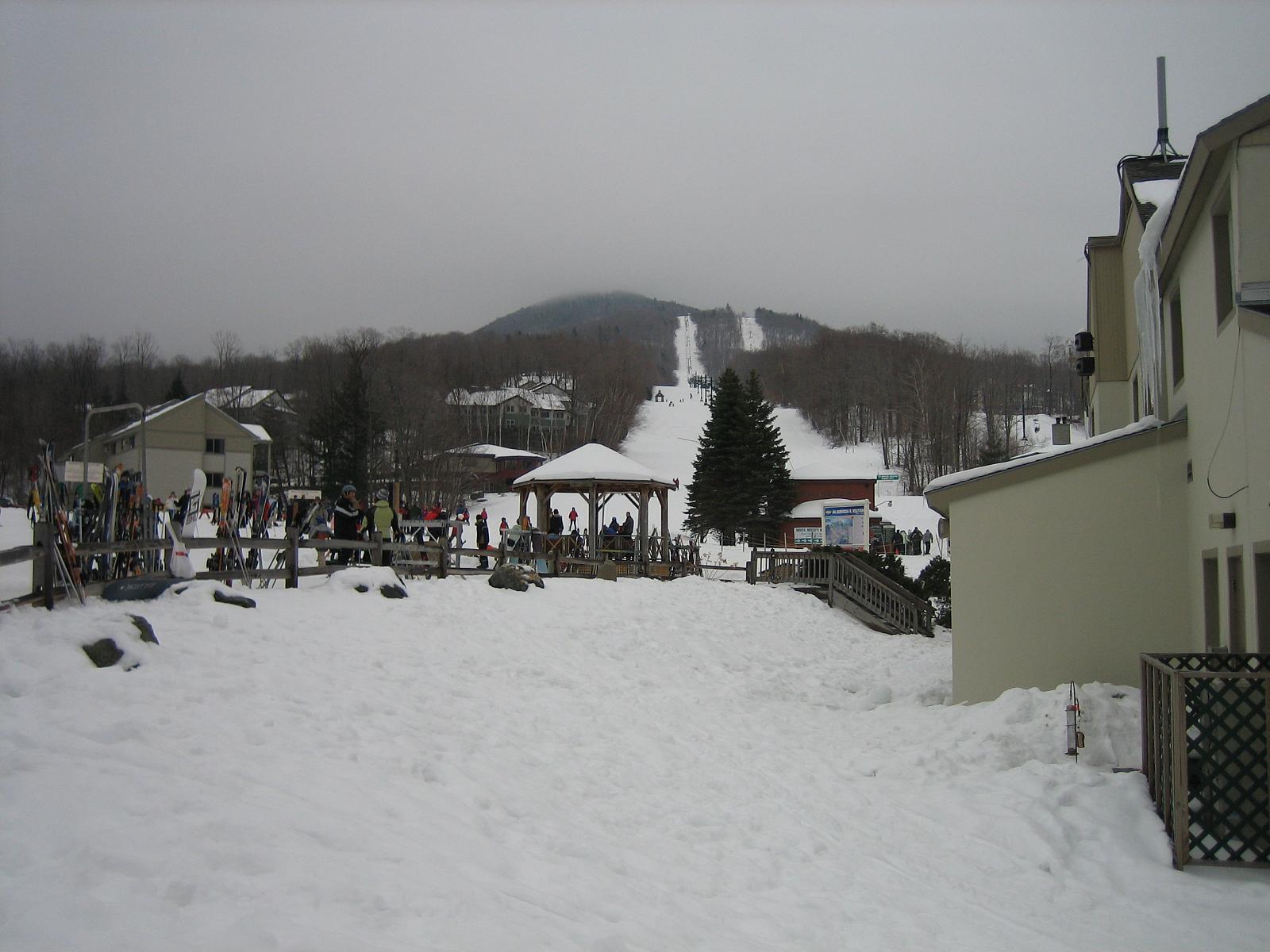
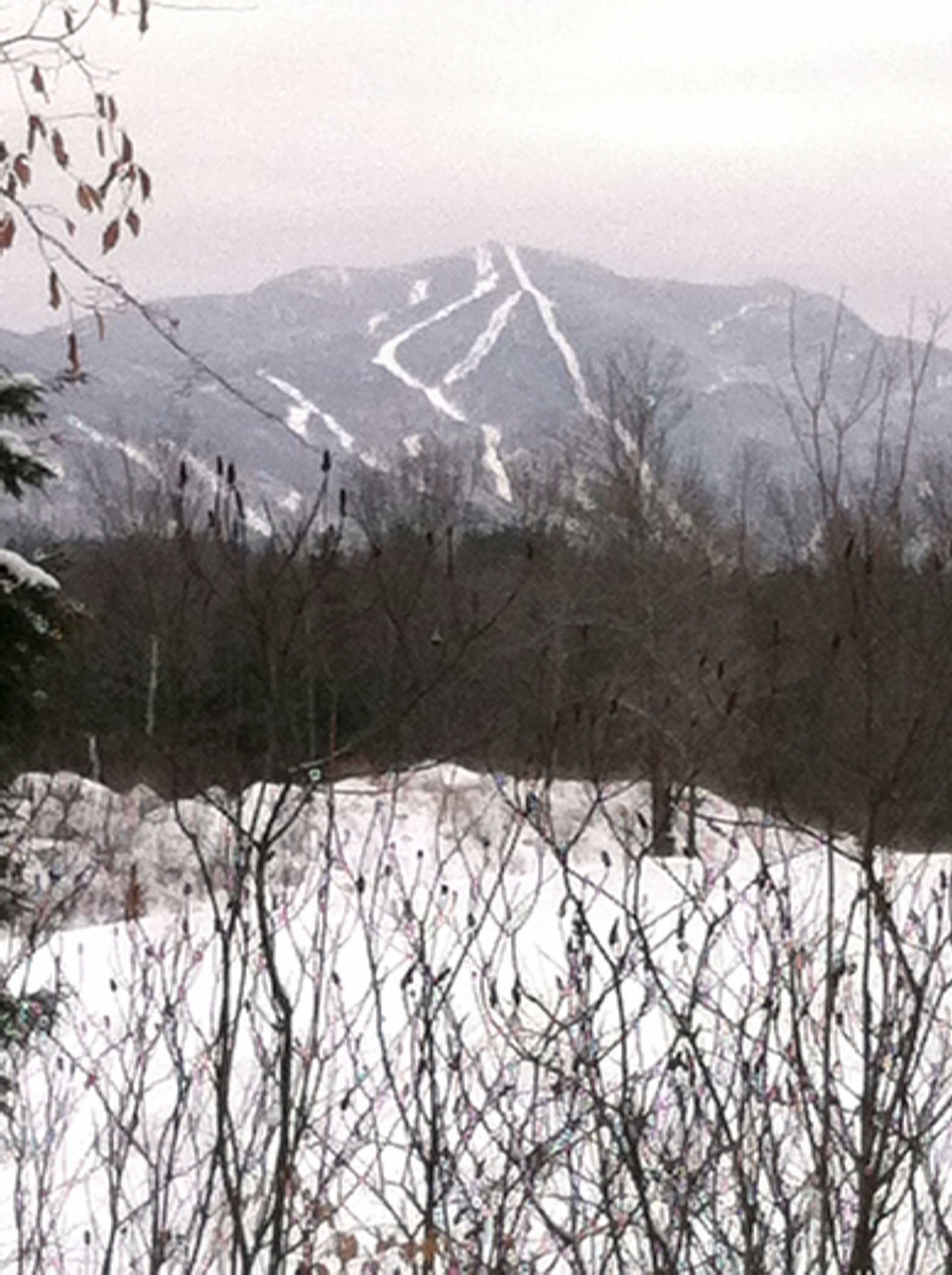
View of Ski Area
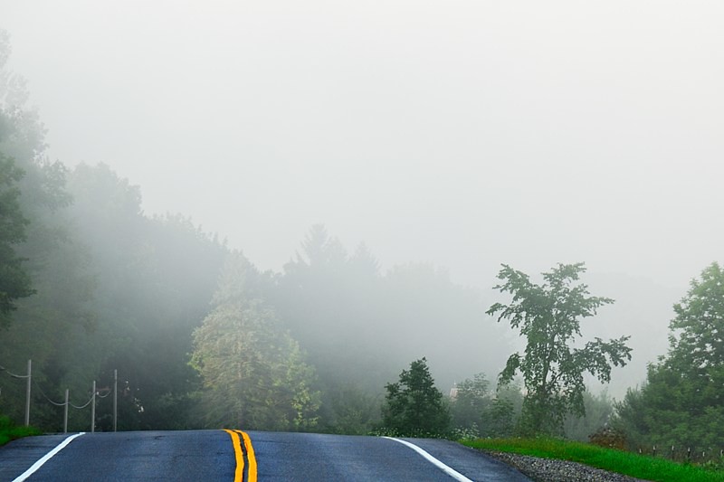
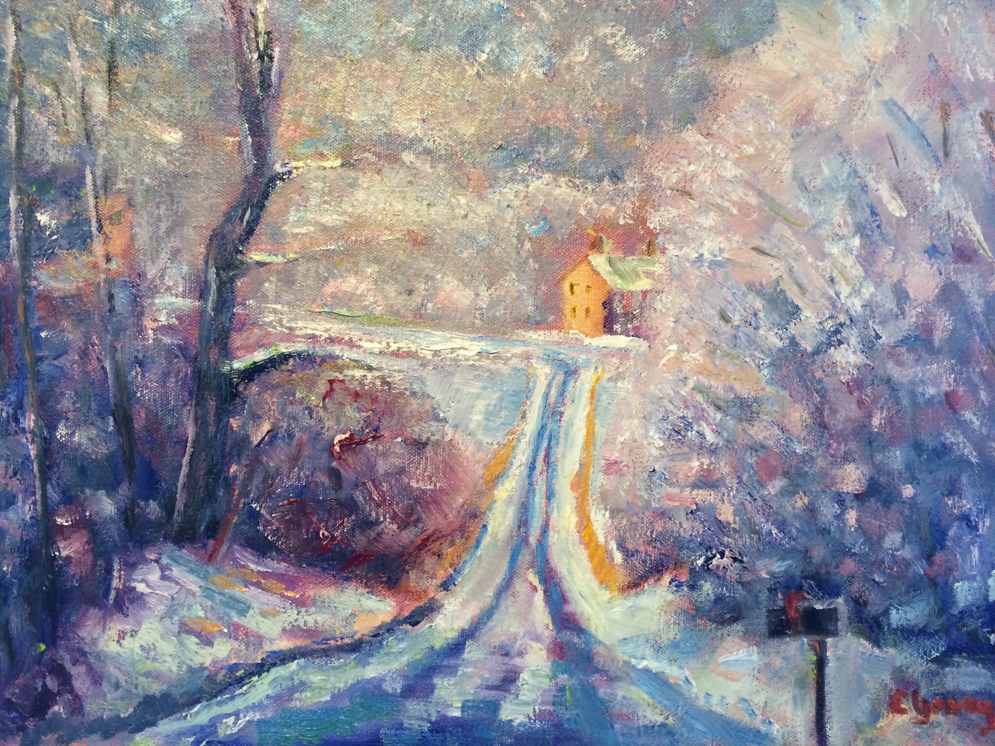
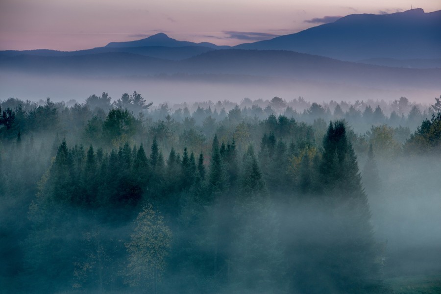
Road into Foggy Uncertainty (DSH_5313)
View are spectacular in Vermont. Old train bridge in the path #outforawalk #vt #vtphoto #vermont #vermontbyvermonters #greenmountainstate #instagood #photooftheday #igvermont #ignewengland #cloudporn #cloudscape #beautiful #blueskies

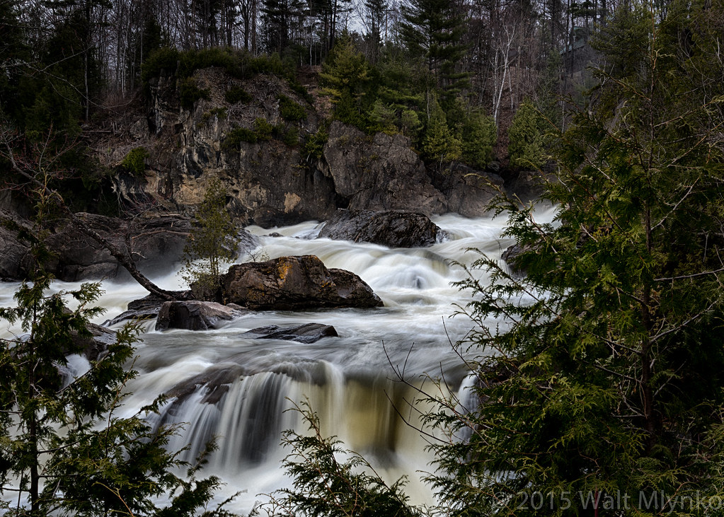
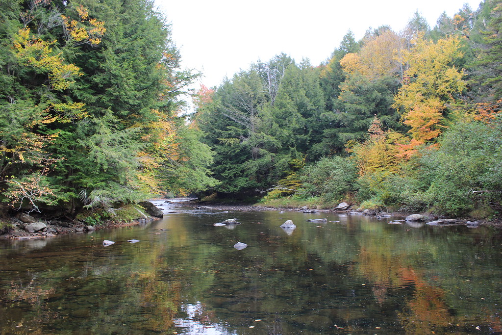
Brewster River Gorge
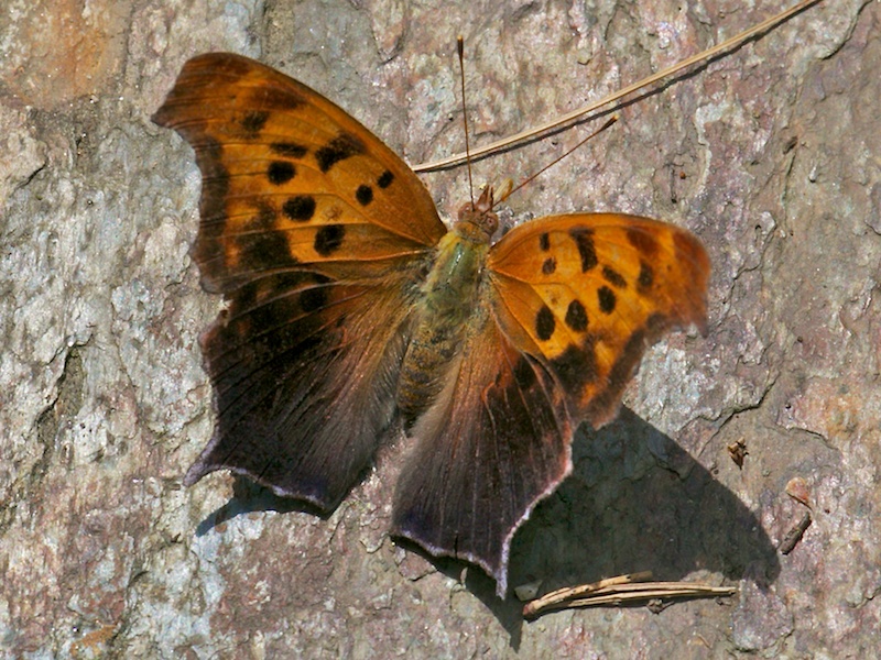
QUESTION MARK
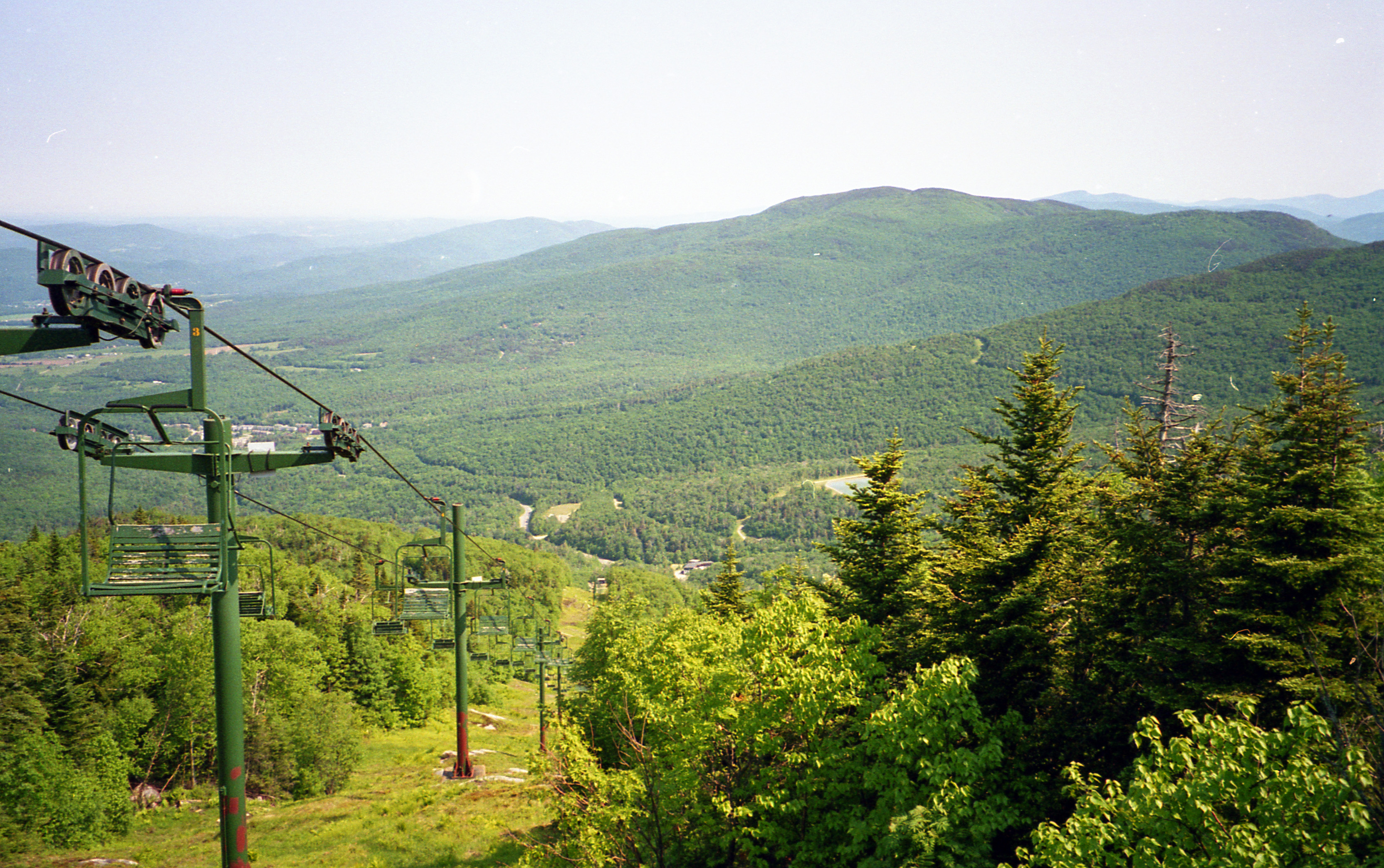
View of Ski Area 2
View from where I'm sipping my coffee on the way to walk the dog. #cambridgevt #brownandjenkins #boydenvalleywinery #vermontbyvermonters #summerday #beautifulday tiny bit of #cloudporn
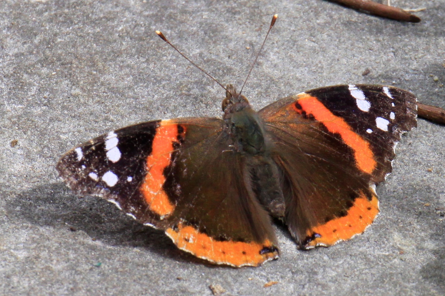
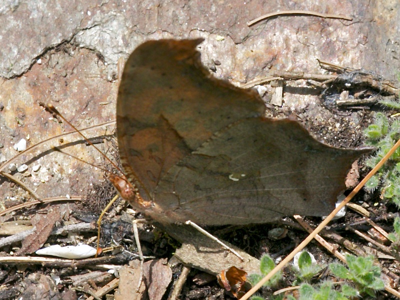
RED ADMIRAL
1995-pwl-sheet024-17

Horses, Sticks, and Snow

Another great view from Smugglers' Notch.

Deer hut at camp
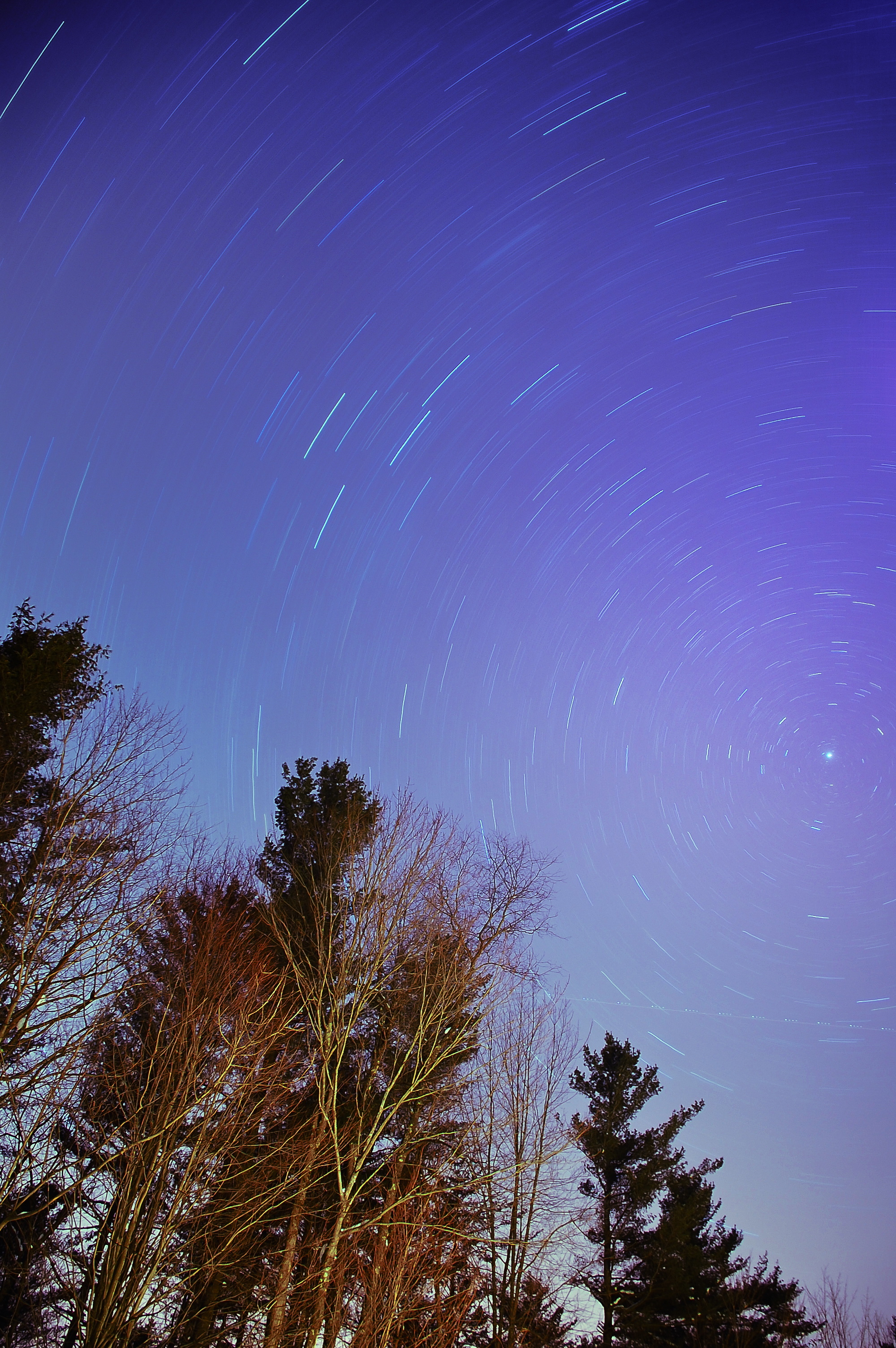
The North Star
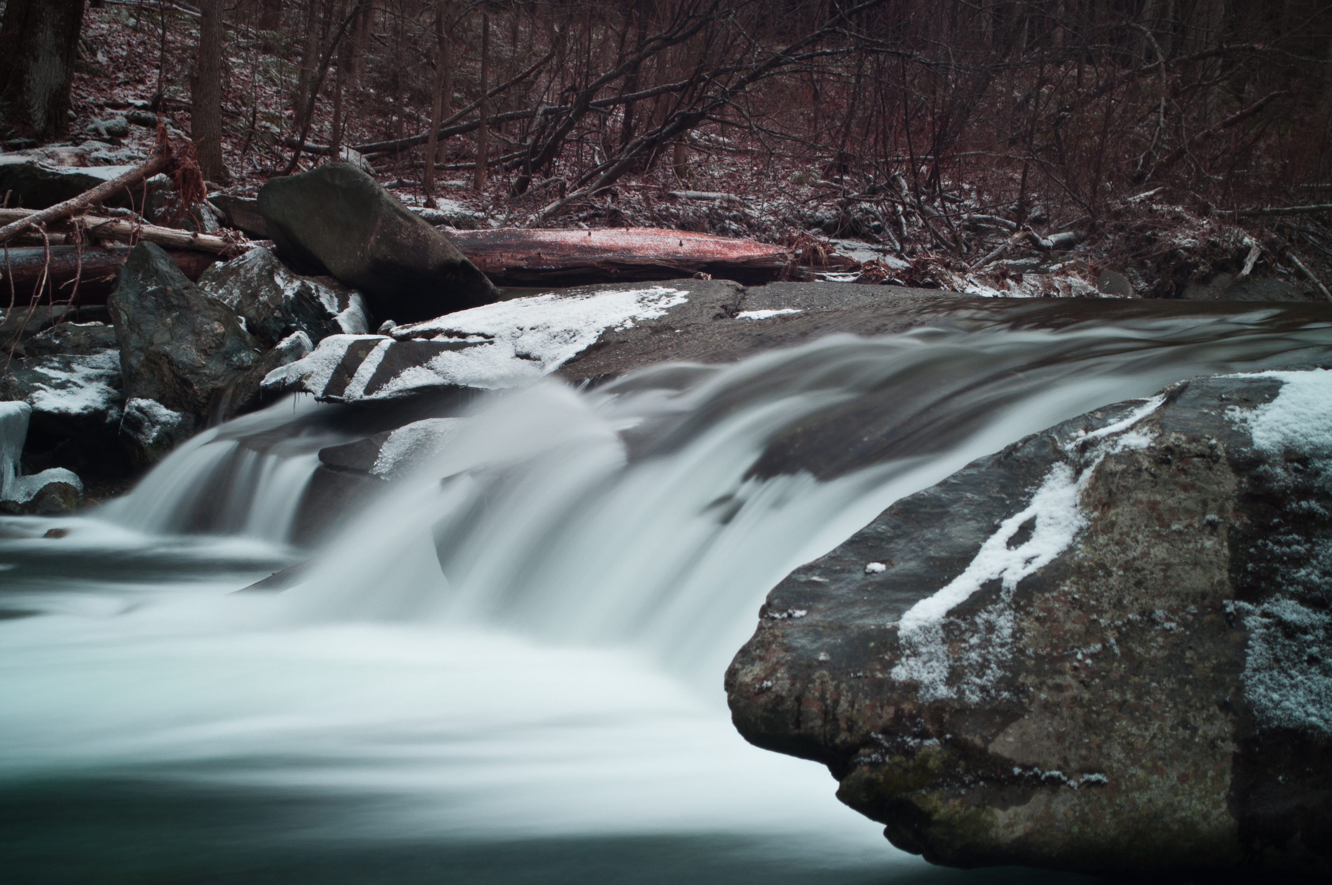
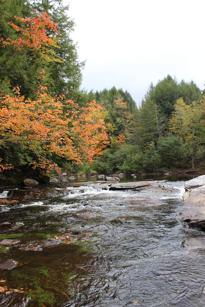
Another View of the Fall
Mt. SterlingJeffersonville,VT.
QUESTION MARK
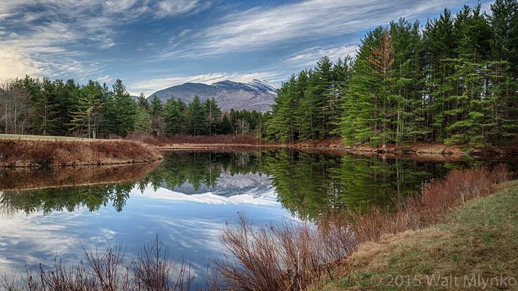
Vermont Pond
Morning in Vermont
Milton Falls
t42_901120151011_DSC5284.jpg
Montgomery Covered Bridge

Sunset over Green Mountains from Rumrunners' Hideaway (DSH_5288)

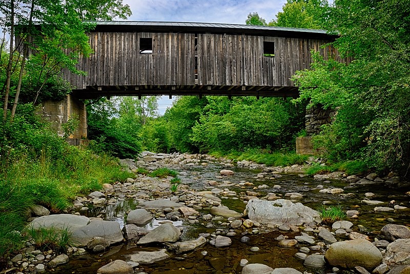
Grist Mill Bridge - Jeffersonville, VT

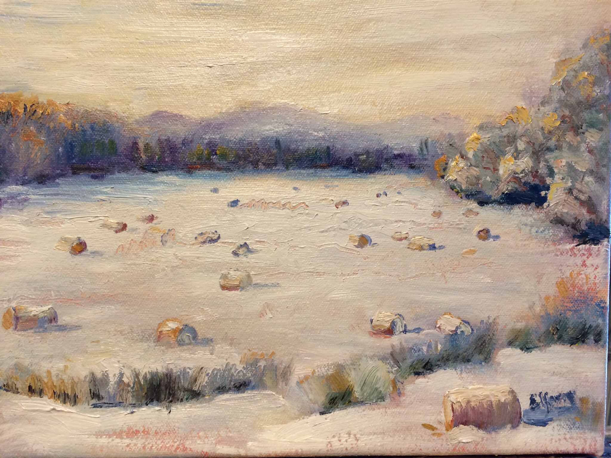
More Hay Bales
Fairfax Falls, Vermont-7357
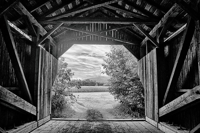
Covered Gems of Vermont (DSH_5375-77)

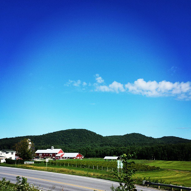
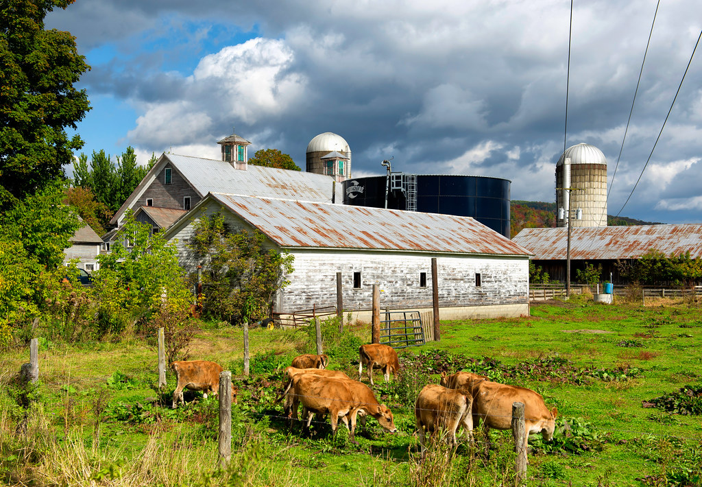
Farm at Sunset, Cambridge, Vermont.
Foliage reflecting on the water
Fall in Vermont

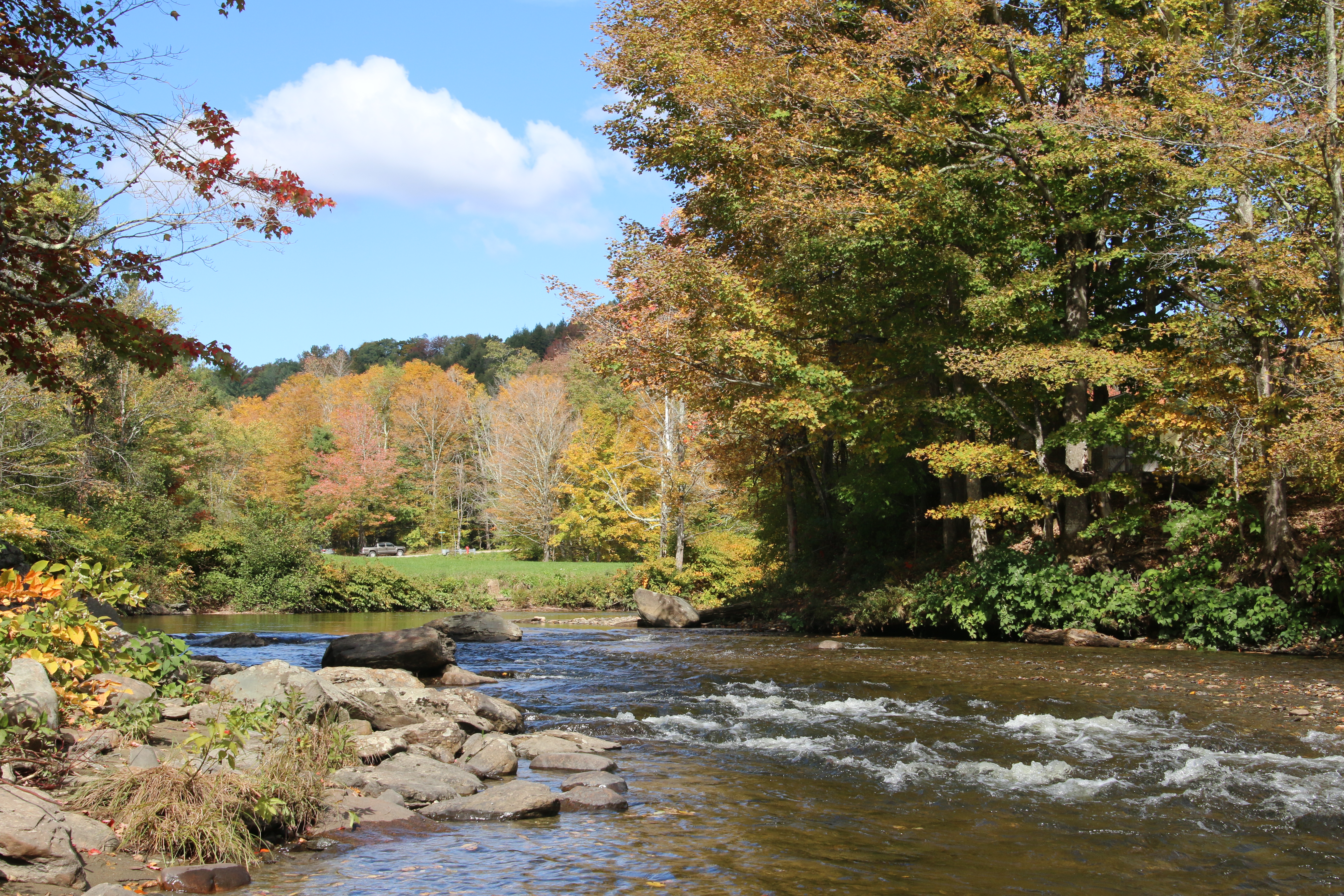
Brewster River Gorge

Beautiful Evening In Jeffersonville 2
Vermont, Waterville IMG_6497

ROADSIDE STREAM 2
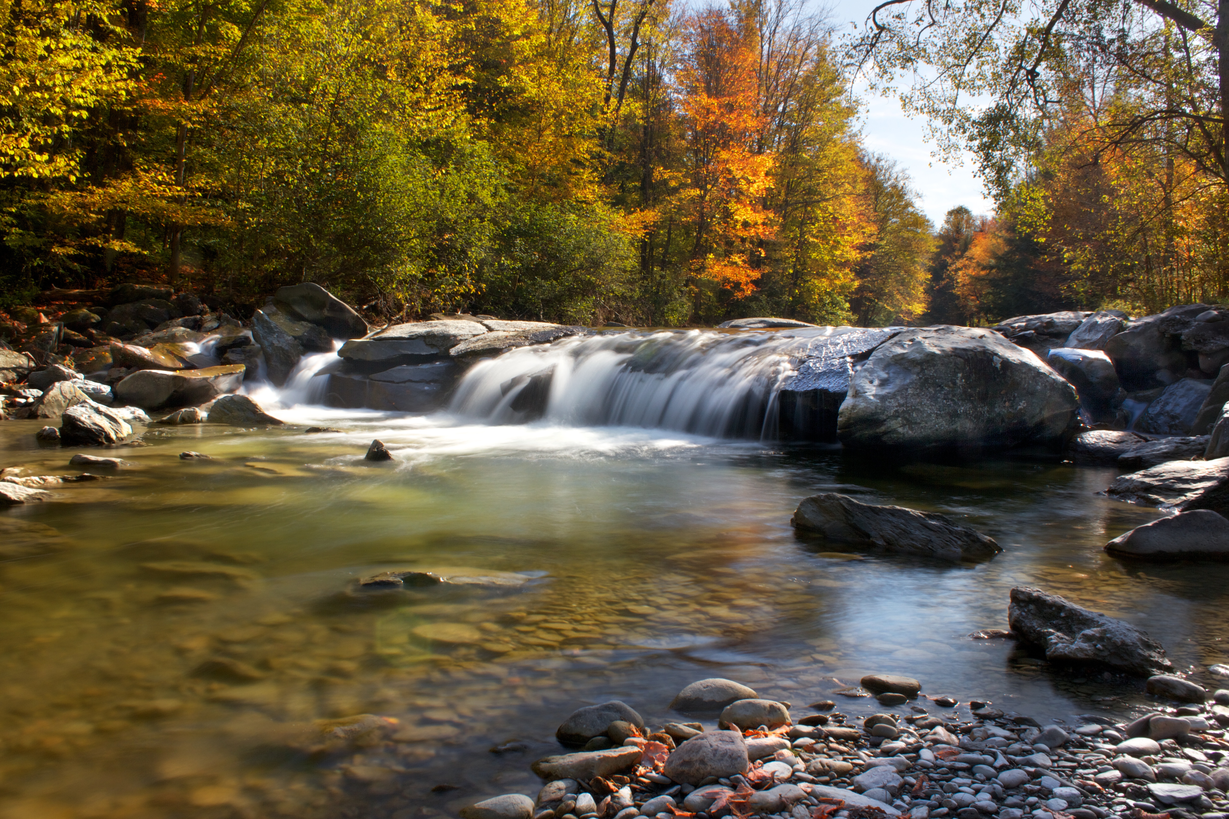
Lower Falls
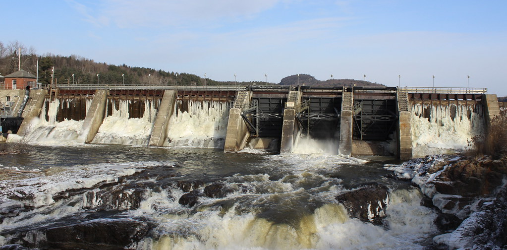
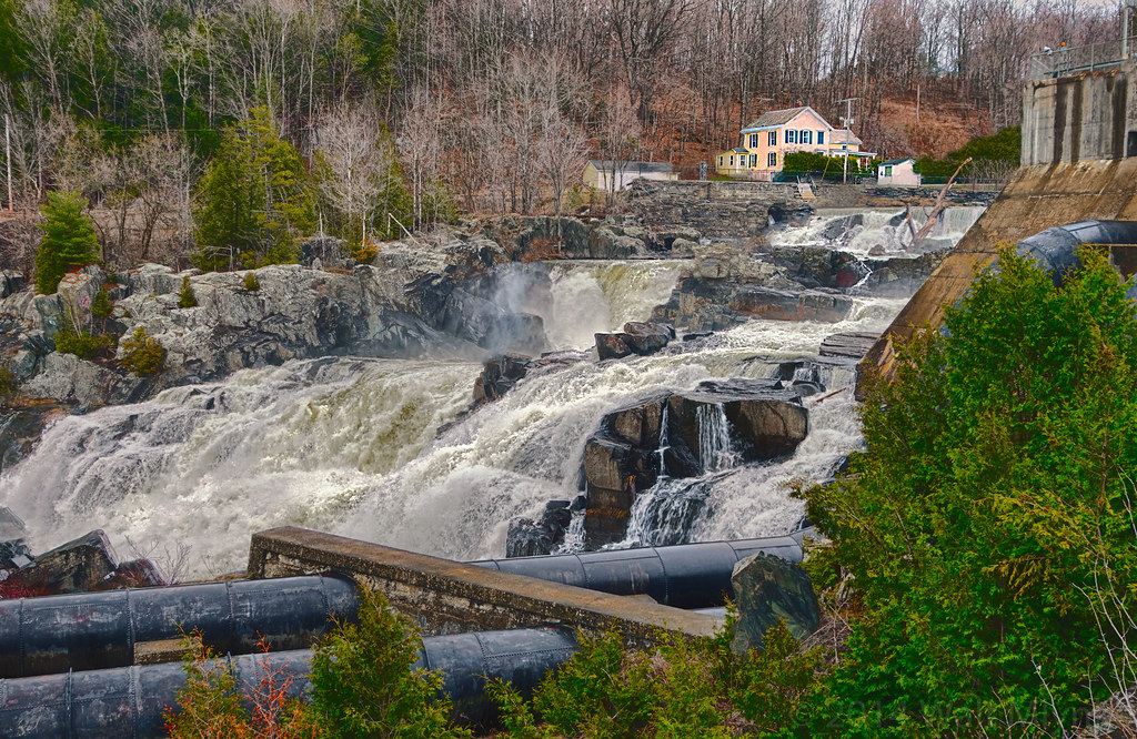
Clark Falls Dam in Milton, Vt
Topographic Map of Fletcher, VT, USA
Find elevation by address:

Places in Fletcher, VT, USA:
Places near Fletcher, VT, USA:
1828 Fairfield Rd
460 Goose Pond Rd
385 N Cambridge Rd
Shepardson Hollow Road
135 Tabor Hill Rd
4110 Fairfield Rd
1013 Will George Rd
250 Whitefield Dr
40 Rowland Rd
383 Moore Rd
71 Lawton Rd
1359 Taylor Rd
Fairfax
1188 Main St
1254 Buck Hollow Rd
1467 Buck Hollow Rd
408 Town Hwy 21
Gaudette Farm Road
Cambridge Junction Rd, Jeffersonville, VT, USA
East Fairfield
Recent Searches:
- Elevation of Corso Fratelli Cairoli, 35, Macerata MC, Italy
- Elevation of Tallevast Rd, Sarasota, FL, USA
- Elevation of 4th St E, Sonoma, CA, USA
- Elevation of Black Hollow Rd, Pennsdale, PA, USA
- Elevation of Oakland Ave, Williamsport, PA, USA
- Elevation of Pedrógão Grande, Portugal
- Elevation of Klee Dr, Martinsburg, WV, USA
- Elevation of Via Roma, Pieranica CR, Italy
- Elevation of Tavkvetili Mountain, Georgia
- Elevation of Hartfords Bluff Cir, Mt Pleasant, SC, USA