Elevation of Flax Pond, Lynn, MA, USA
Location: United States > Massachusetts > Essex County > Lynn >
Longitude: -70.952450
Latitude: 42.4818664
Elevation: 14m / 46feet
Barometric Pressure: 101KPa
Elevation Map:
Satellite Map:
Related Photos:
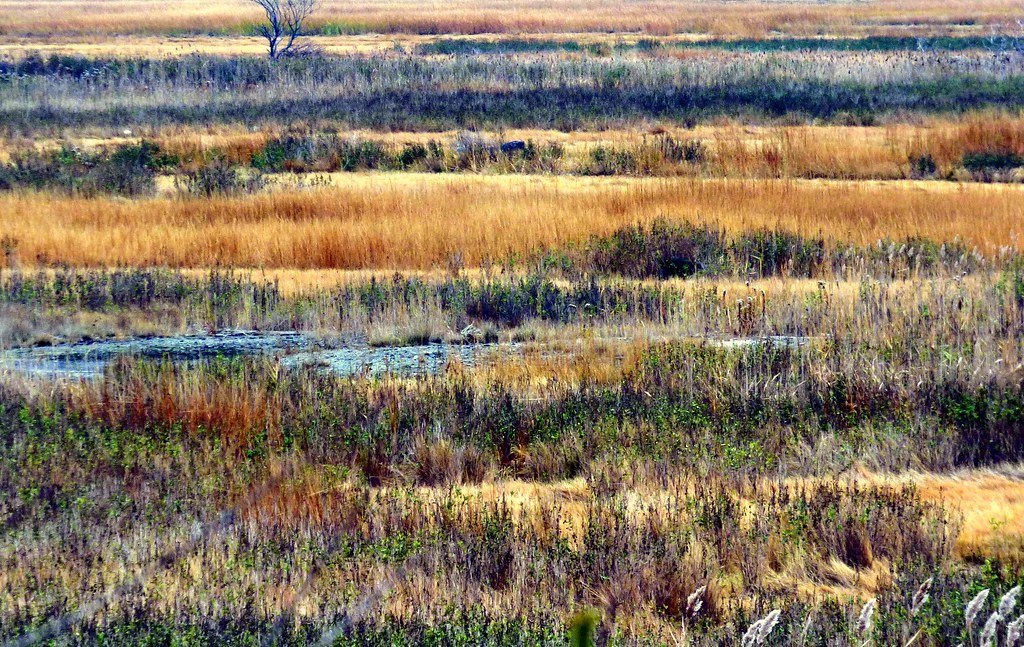
Rumney Marsh

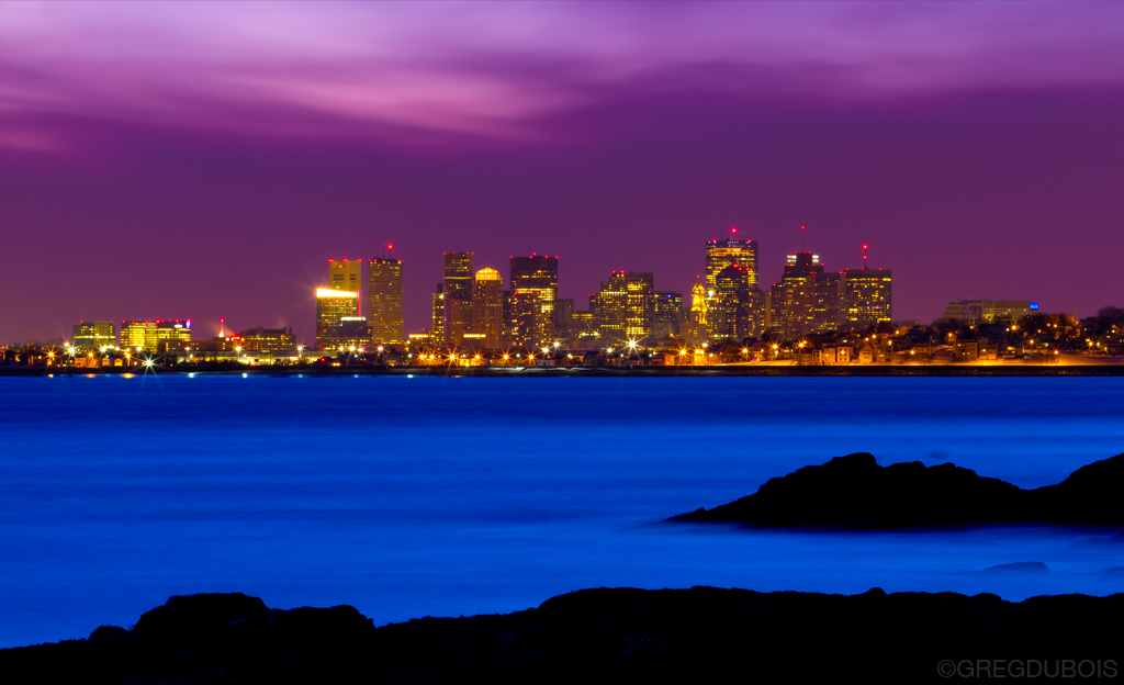
Boston Skyline just after Sunrise, Carlton's Wharf East Boston
After the Storm
Boston Skyline and Winthrop over Lewis Cove and Broad Sound, Late Dusk in Nahant MA

Stormy Sunrise over Boston Skyline and Harbor, Piers Park East Boston
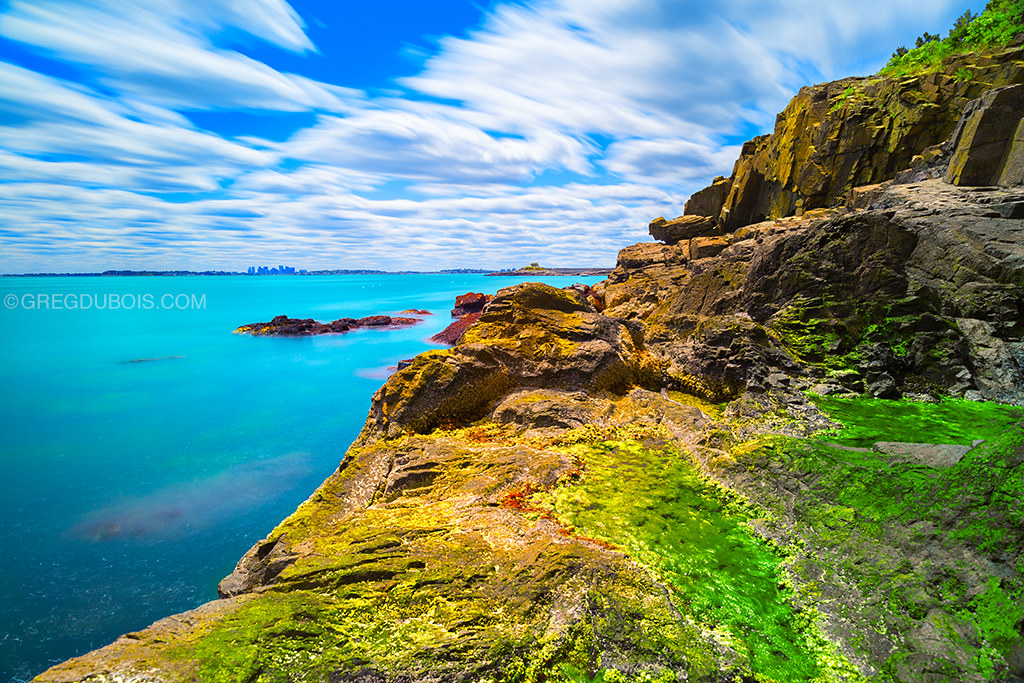
Cloudy Blue Skies over Broad Sound and Sea Cliff with Tide Pools - Lewis Cove Nahant, Massachusetts
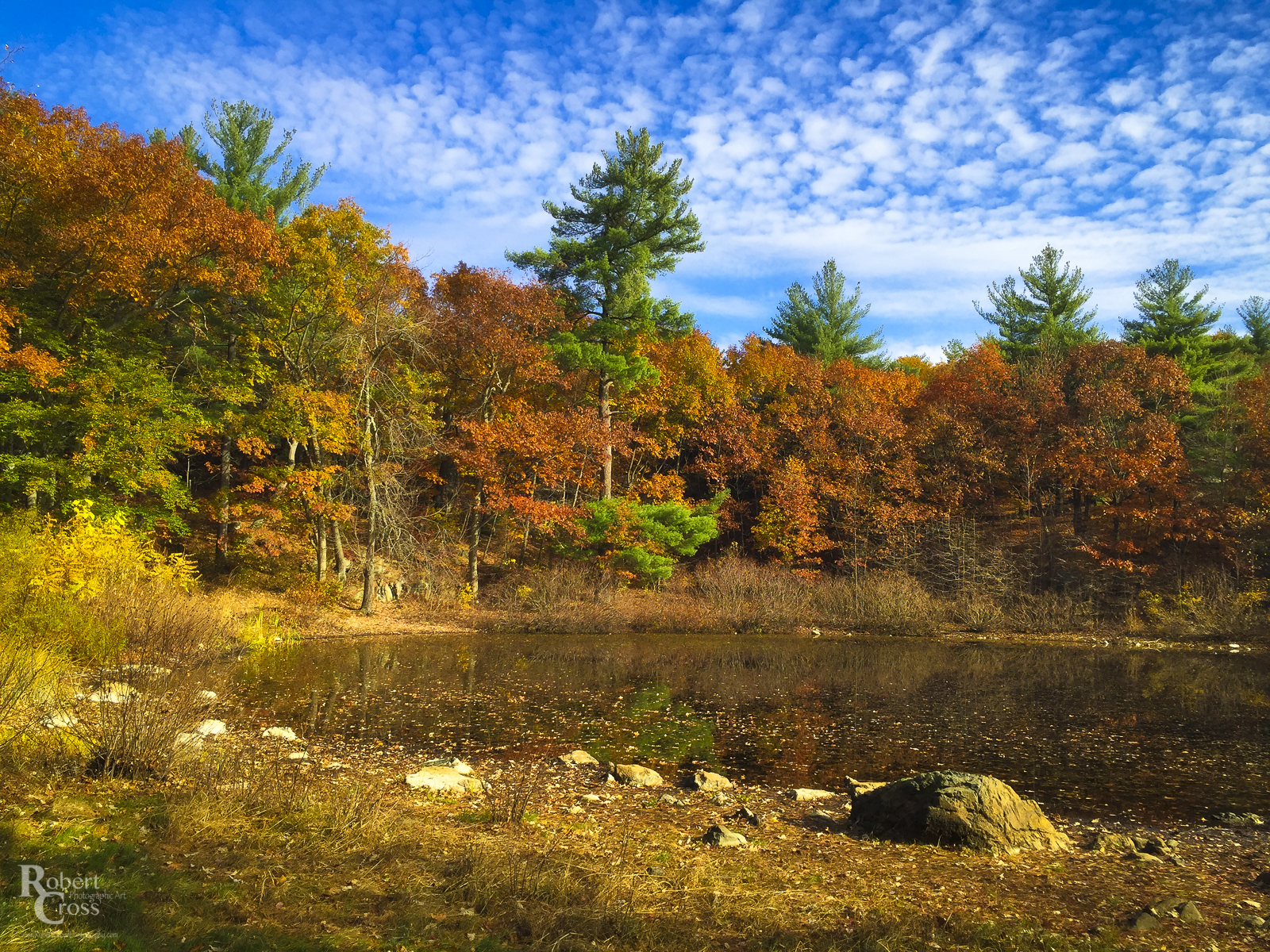
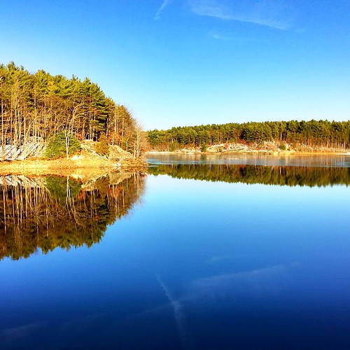
Pine Banks Autumn Color
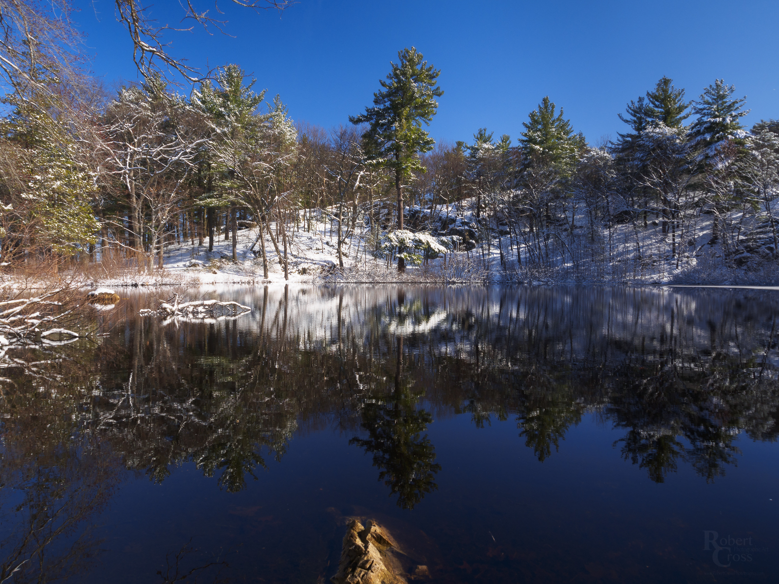
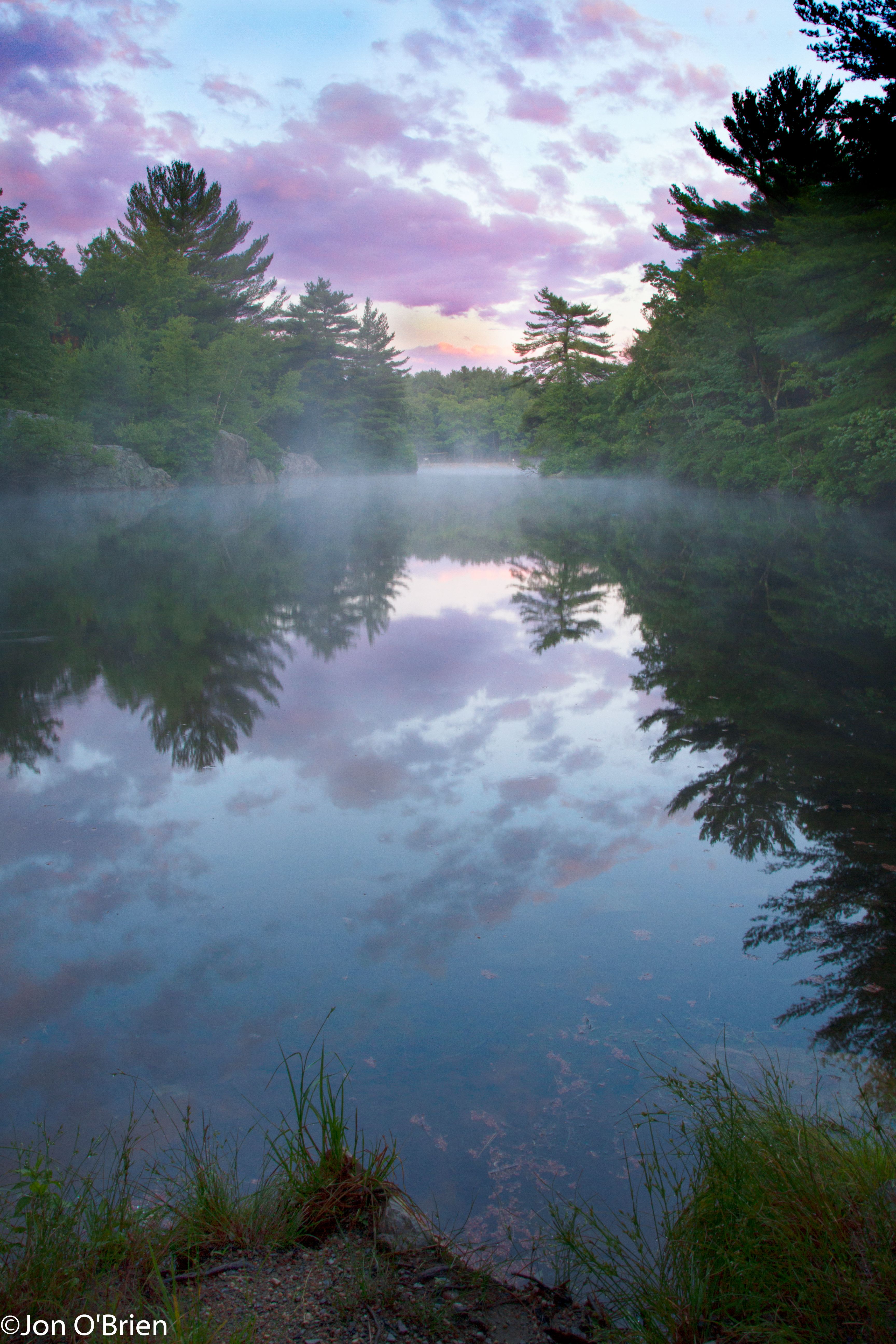
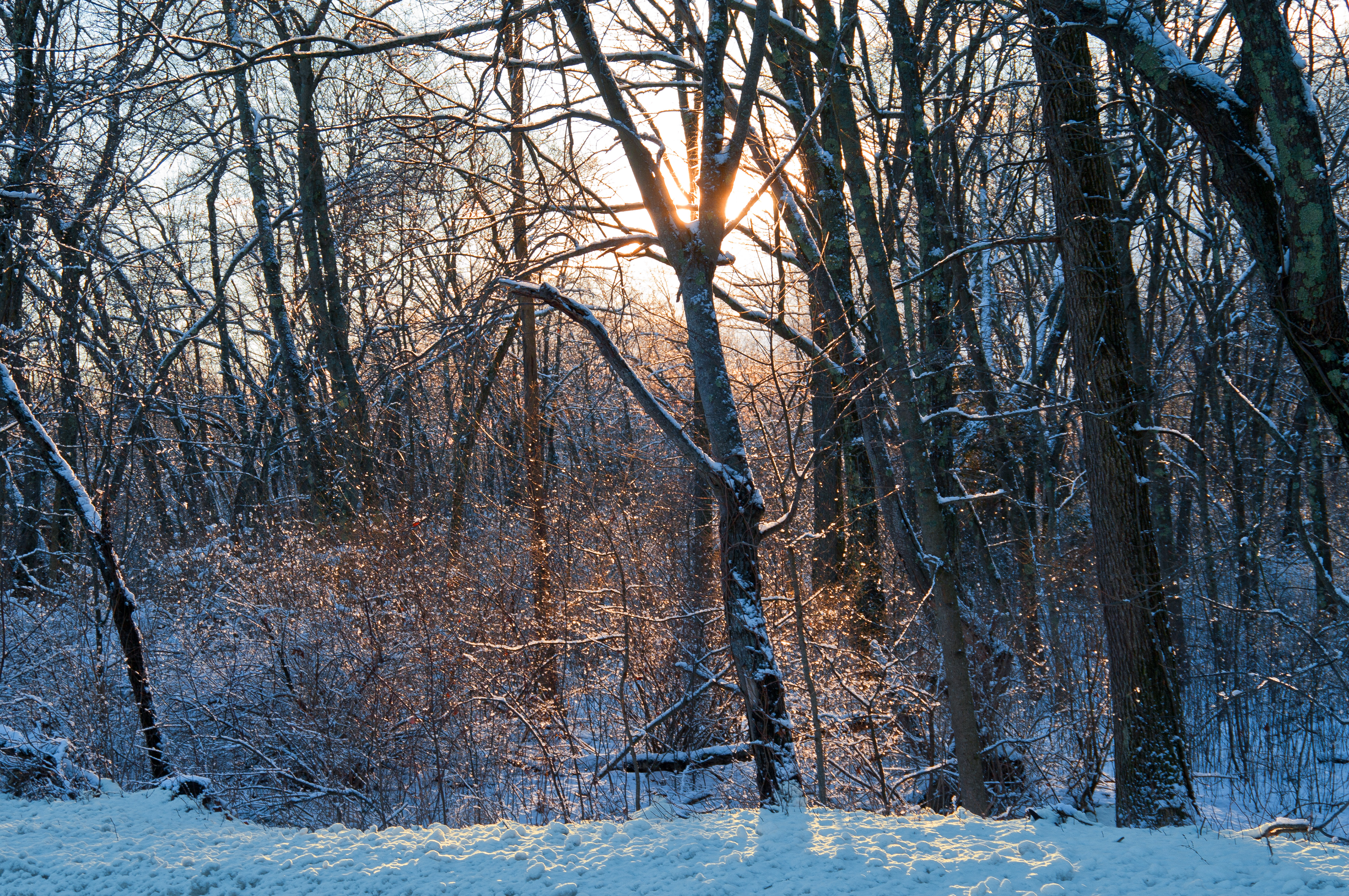
Snowy Springtime Reflections

Extreme LE of Clouds over Tree Line and Sea Cliff - Bailey’s Hill Park Nahant, Massachusetts USA
Key To the City

The Shore [Explore May 20, 2013]

Marblehead MA - Marblehead and Harbor

Fresh Snow [Explore Feb. 28, 2013]

The Snowiest Season in New England
Deer Island Landscape
Beautiful day outside

In the chasm

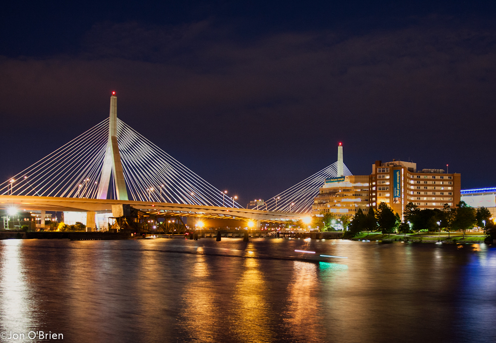
Downtown Boston Skyline and Waterfront over East Boston, Route 1, and Chelsea - Massachusetts USA
Winter Light [Explore Jan. 25, 2014]
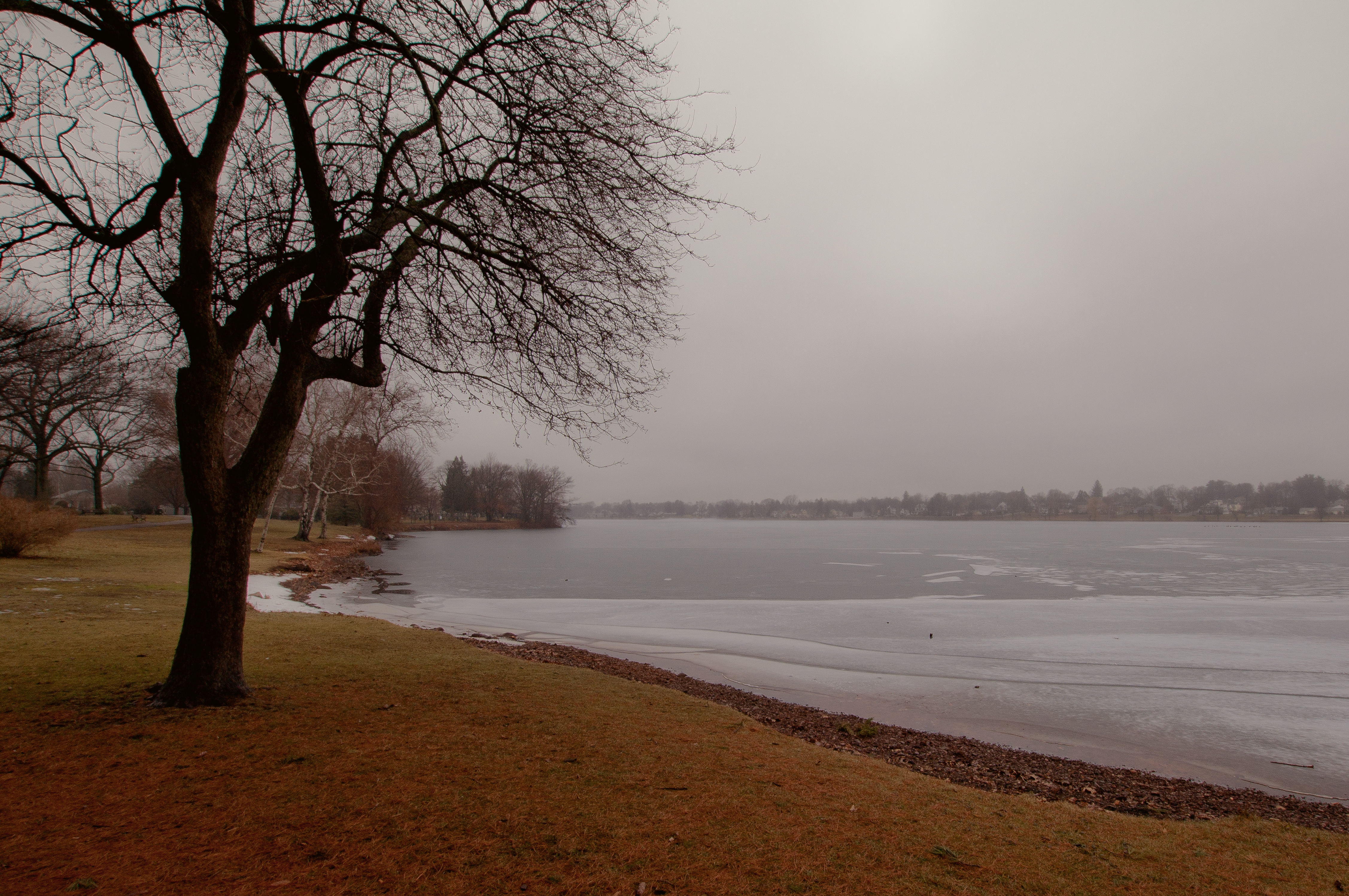
January Thaw
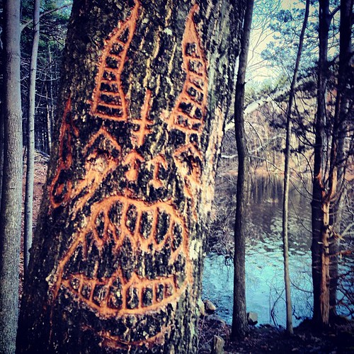
That's an #angry #tree.
Topographic Map of Flax Pond, Lynn, MA, USA
Find elevation by address:

Places near Flax Pond, Lynn, MA, USA:
77 Lake Ave
22 Thomson Ln
56 Meadow Ct, Lynn, MA, USA
27 Clairmont St
66 Allen Ave
Bay View Avenue
50 Goodridge St
175 Edgemere Rd
83 Rockaway St
21 Adams St
225 Boston St
206 Fays Ave
High Rock Tower Park
Lynn
88 Franklin St
300 Washington St
74 Pine Grove Ave
25 Ontario St
81 Coolidge Rd
59 Essex St
Recent Searches:
- Elevation of Corso Fratelli Cairoli, 35, Macerata MC, Italy
- Elevation of Tallevast Rd, Sarasota, FL, USA
- Elevation of 4th St E, Sonoma, CA, USA
- Elevation of Black Hollow Rd, Pennsdale, PA, USA
- Elevation of Oakland Ave, Williamsport, PA, USA
- Elevation of Pedrógão Grande, Portugal
- Elevation of Klee Dr, Martinsburg, WV, USA
- Elevation of Via Roma, Pieranica CR, Italy
- Elevation of Tavkvetili Mountain, Georgia
- Elevation of Hartfords Bluff Cir, Mt Pleasant, SC, USA