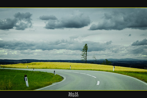
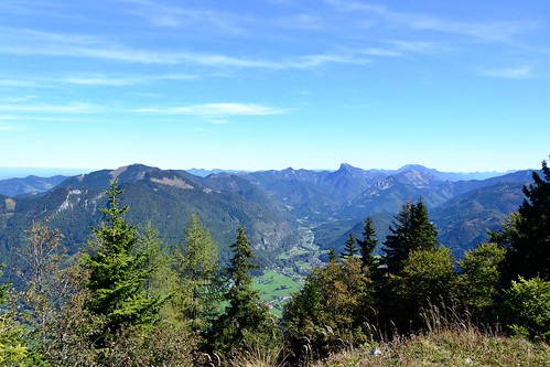
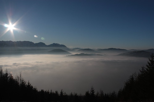
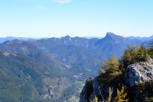
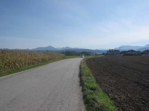
Elevation of Flattnitz Pass, Austria
Location: Austria > Upper Austria > Kirchdorf An Der Krems District > Gemeinde Pettenbach > Etzelsdorf >
Longitude: 14.016667
Latitude: 47.933333
Elevation: 536m / 1759feet
Barometric Pressure: 95KPa
Related Photos:
Topographic Map of Flattnitz Pass, Austria
Find elevation by address:

Places near Flattnitz Pass, Austria:
Gemeinde Pettenbach
Etzelsdorf
Hammersdorf
Hammersdorfstraße 9, Hammersdorf, Austria
Scharnstein
Spieldorf 12, Spieldorf, Austria
Hallwang 28, Hallwang, Austria
Upper Austria
Hauergraben 17, Mühldorf, Austria
Eberstalzell
Kogl 19, Kogl, Austria
Oberautal
Oberautal 6, Oberautal, Austria
Kriegsham
Kriegsham 4, Kriegsham, Austria
Frohnhofen 6, Frohnhofen, Austria
Frohnhofen
Aigen 4, Aigen, Austria
Gemeinde Steinerkirchen An Der Traun
Wels-land District
Recent Searches:
- Elevation of Corso Fratelli Cairoli, 35, Macerata MC, Italy
- Elevation of Tallevast Rd, Sarasota, FL, USA
- Elevation of 4th St E, Sonoma, CA, USA
- Elevation of Black Hollow Rd, Pennsdale, PA, USA
- Elevation of Oakland Ave, Williamsport, PA, USA
- Elevation of Pedrógão Grande, Portugal
- Elevation of Klee Dr, Martinsburg, WV, USA
- Elevation of Via Roma, Pieranica CR, Italy
- Elevation of Tavkvetili Mountain, Georgia
- Elevation of Hartfords Bluff Cir, Mt Pleasant, SC, USA
