Elevation of Flatford Rd, Sparks, GA, USA
Location: United States > Georgia > Cook County > Sparks >
Longitude: -83.500232
Latitude: 31.2259
Elevation: 65m / 213feet
Barometric Pressure: 101KPa
Elevation Map:
Satellite Map:
Related Photos:

Lesser Scaup

Black Scoter

Year 6~Day 58 +30/366 AND Day 1884: LIR: Cook County Museum and Library Tour & Dutch Treat Lunch at Day's Diner
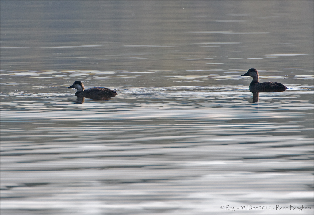
Black Scoter
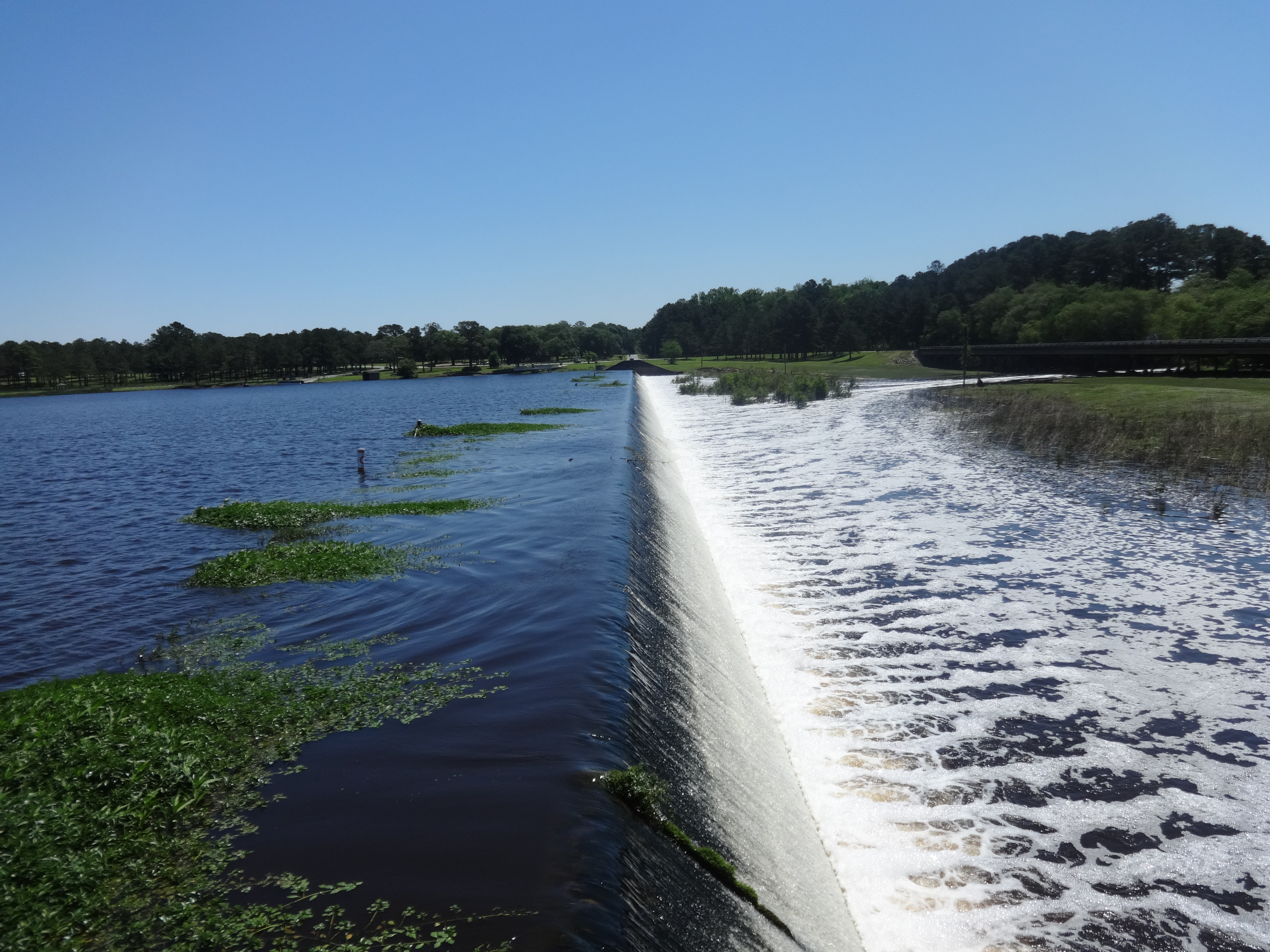
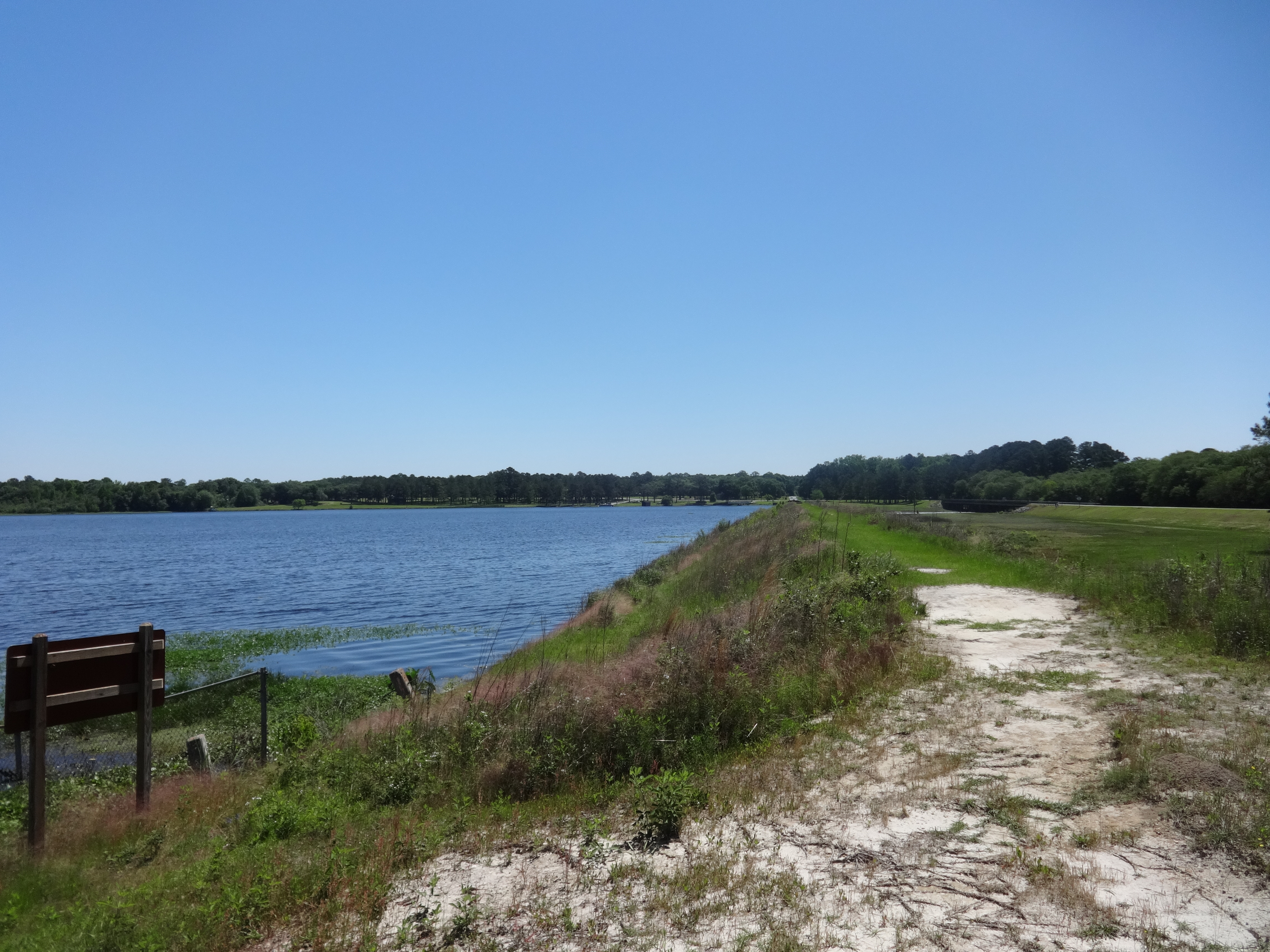
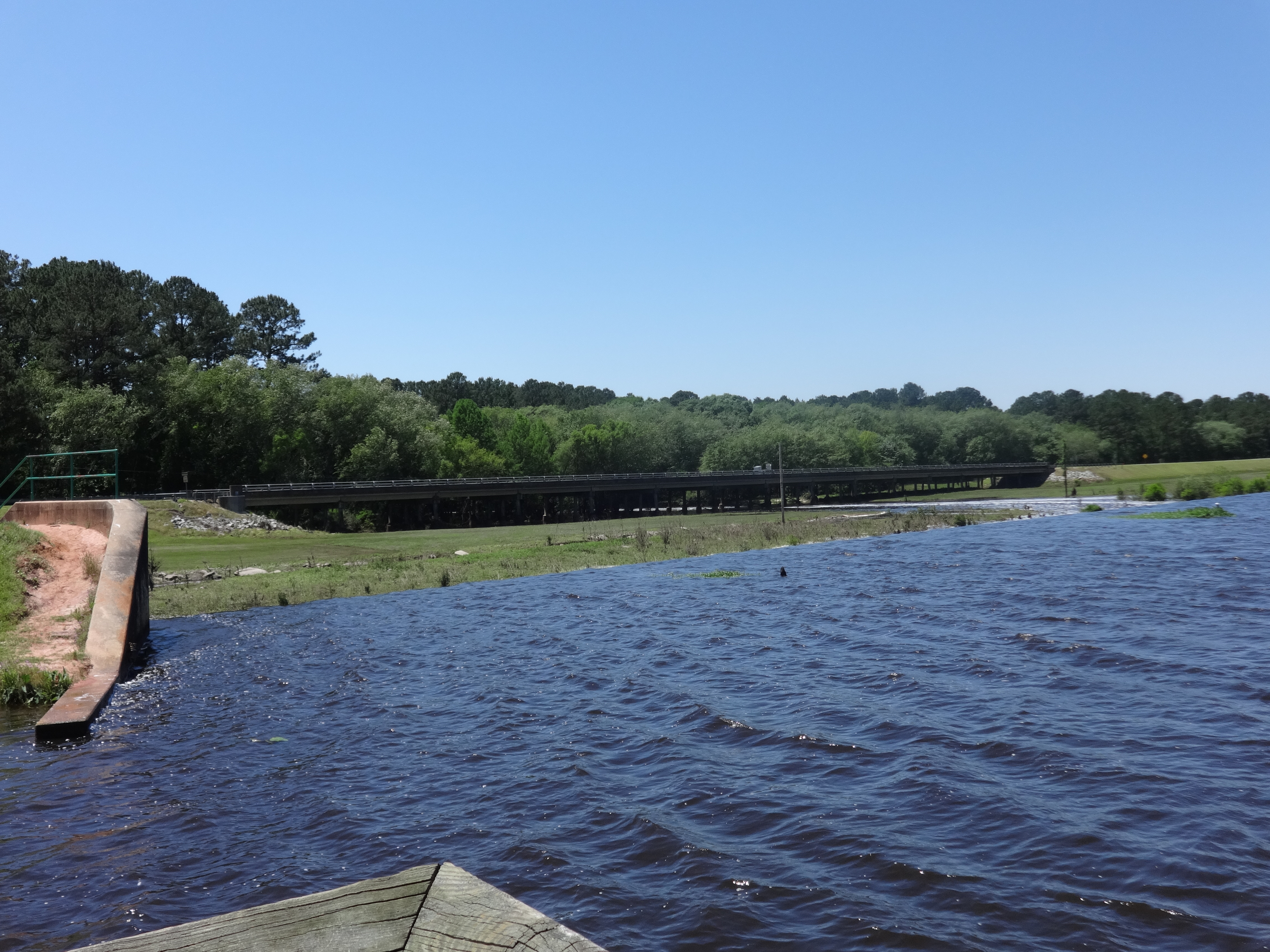
Looking East across Reed Bingham State Park dam

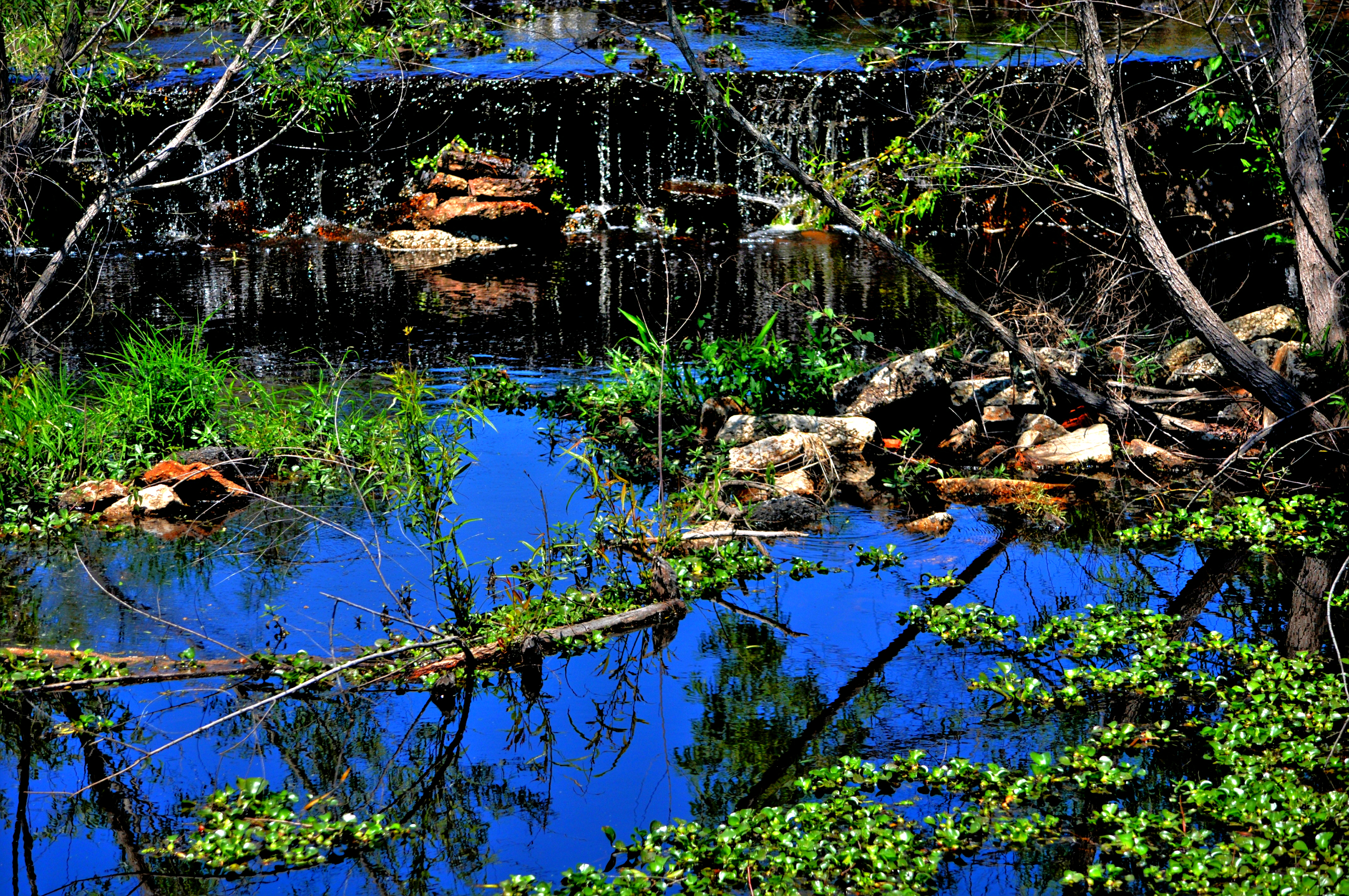
Little River Trail

Cinnamon Fern
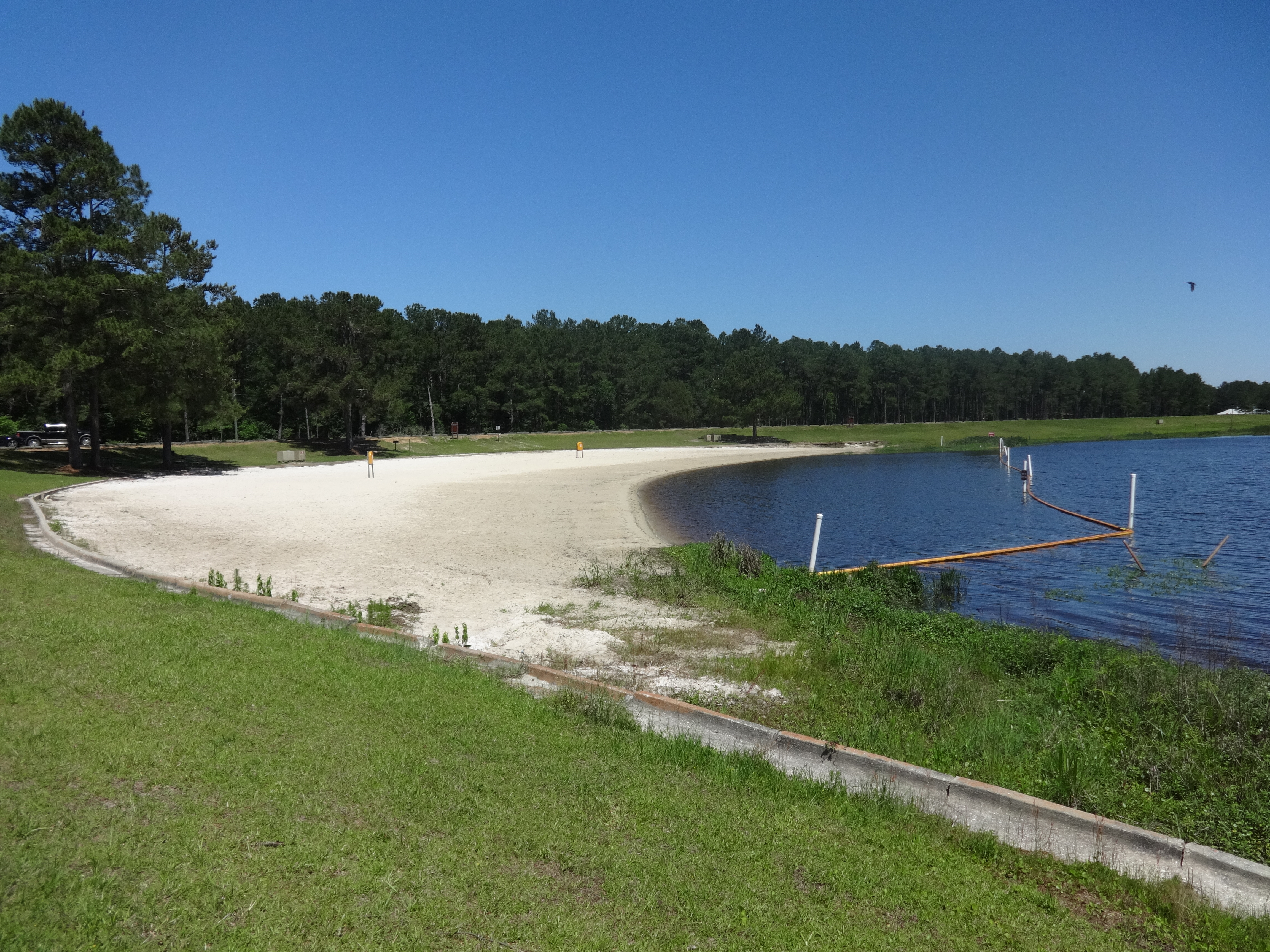
Reed Bingham State Park Beach
_DSC1765.12

The significance of this is there are gopher tortoise burrows out there. One gopher is just a juvenile. Reed Bingham State Park, Georgia

Reed Bingham Lake, 3 fishing poles
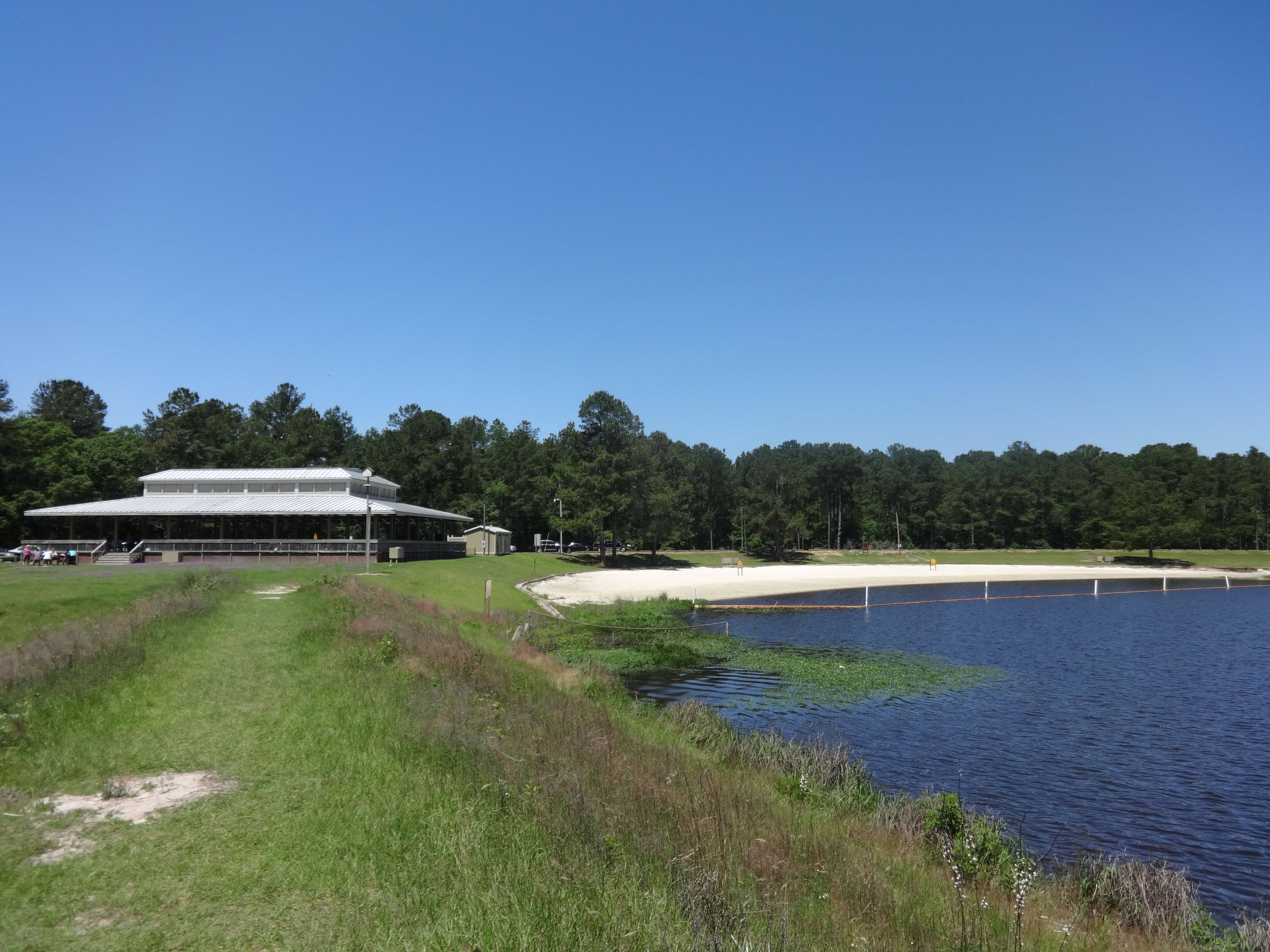
Reed Bingham State Park beach pavilion and beach
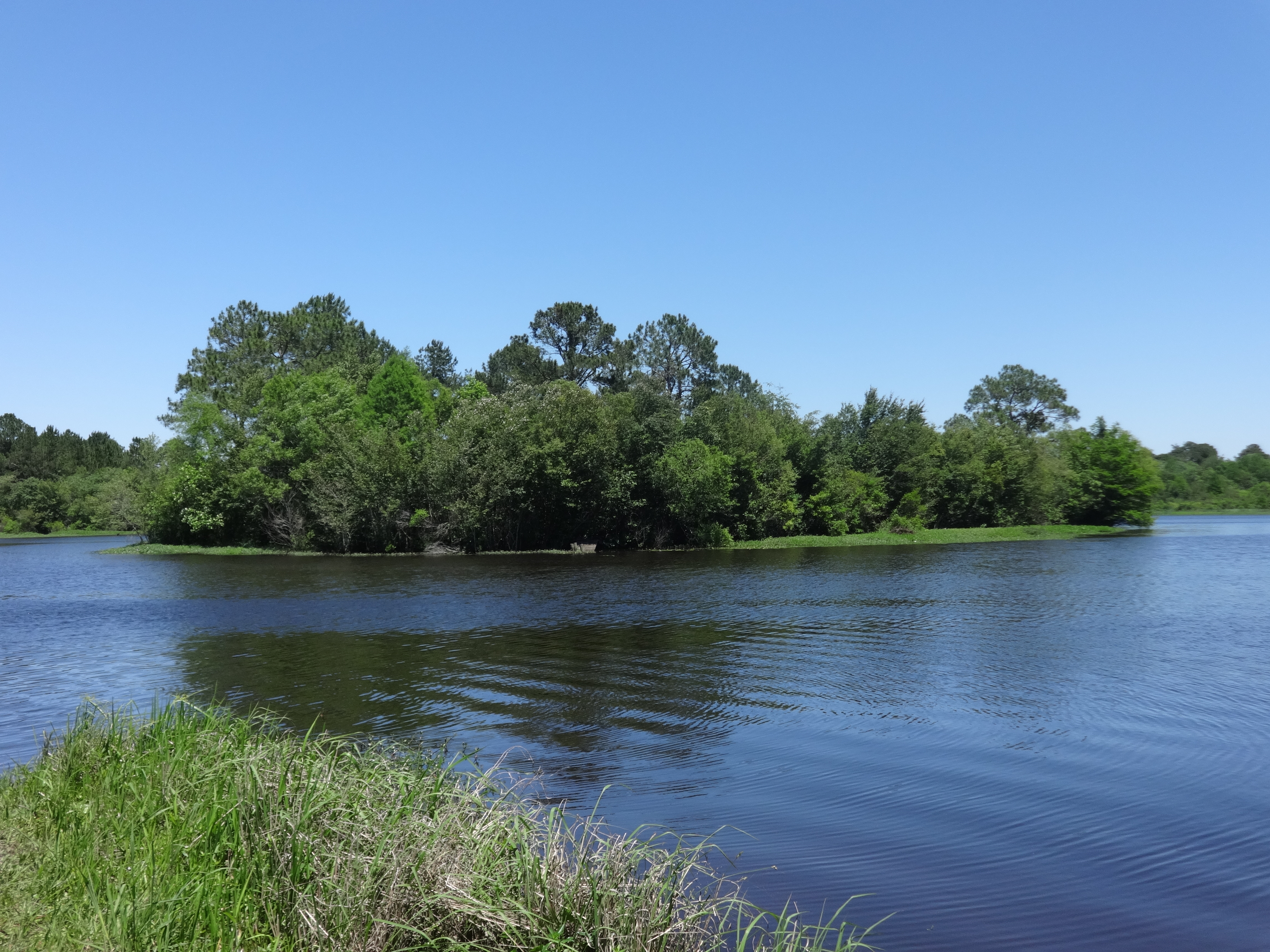
Reed Bingham Lake and island

Reed Bingham Lake 2
Reed Bingham Lake 1
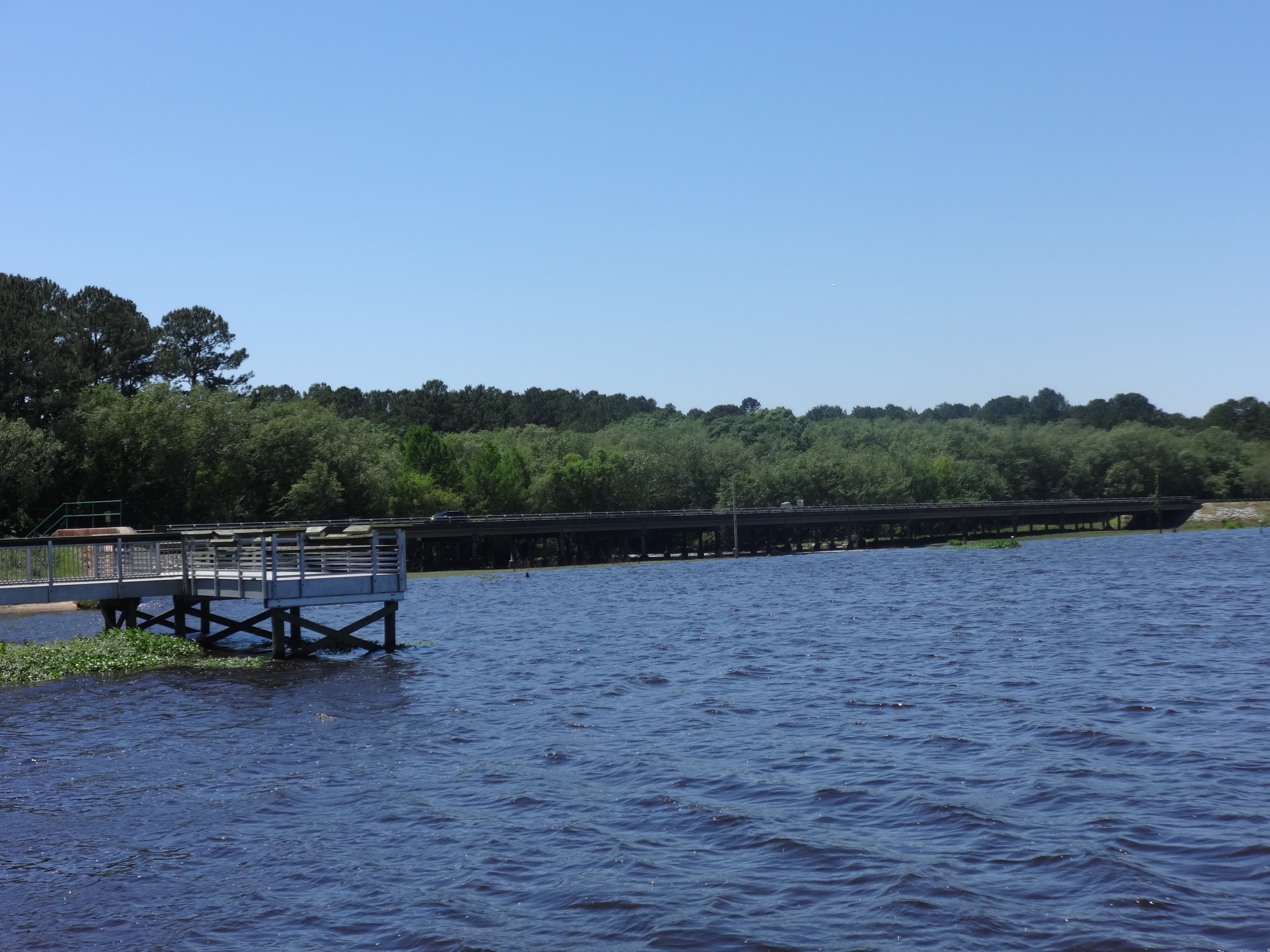
Reed Bingham State Park bridge and fishing pier
Reed Bingham State Park bridge and lake
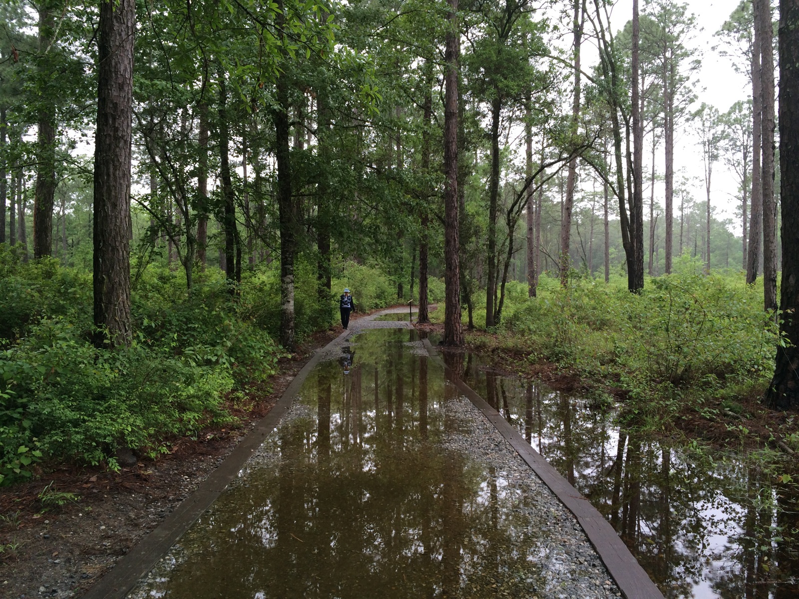
Wet trail
Topographic Map of Flatford Rd, Sparks, GA, USA
Find elevation by address:

Places near Flatford Rd, Sparks, GA, USA:
Wagon Wheel Rd, Sparks, GA, USA
US-41, Sparks, GA, USA
Lenox
Staunton Cemetary Rd, Lenox, GA, USA
901 Strickland Rd
Reed Bingham State Park
Reed Bingham Road
3128 Ellenton Omega Rd
Sparks
114 Alabama St
Cook County
Susie Mc Cranie Road
N Hutchinson Ave, Adel, GA, USA
Adel
397 Lindsey-goff Rd
4220 Us-41
608 S Forrest Ave
U.S. 41 S, Tifton, GA, USA
Massee Post Rd, Adel, GA, USA
Massee Post Rd, Sparks, GA, USA
Recent Searches:
- Elevation of Corso Fratelli Cairoli, 35, Macerata MC, Italy
- Elevation of Tallevast Rd, Sarasota, FL, USA
- Elevation of 4th St E, Sonoma, CA, USA
- Elevation of Black Hollow Rd, Pennsdale, PA, USA
- Elevation of Oakland Ave, Williamsport, PA, USA
- Elevation of Pedrógão Grande, Portugal
- Elevation of Klee Dr, Martinsburg, WV, USA
- Elevation of Via Roma, Pieranica CR, Italy
- Elevation of Tavkvetili Mountain, Georgia
- Elevation of Hartfords Bluff Cir, Mt Pleasant, SC, USA