Elevation of FL-, Williston, FL, USA
Location: United States > Florida > Levy County > Williston >
Longitude: -82.4387835
Latitude: 29.4029413
Elevation: 24m / 79feet
Barometric Pressure: 0KPa
Related Photos:

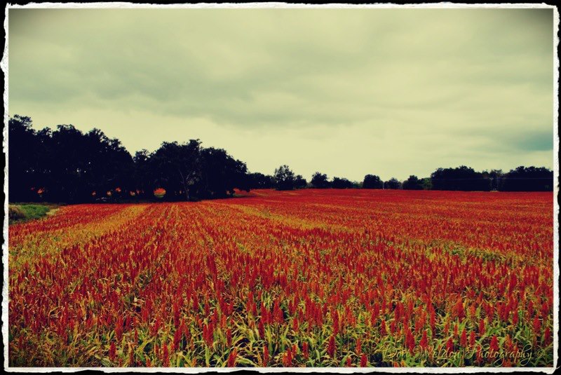
Not a Great View

Train Track Wildflowers
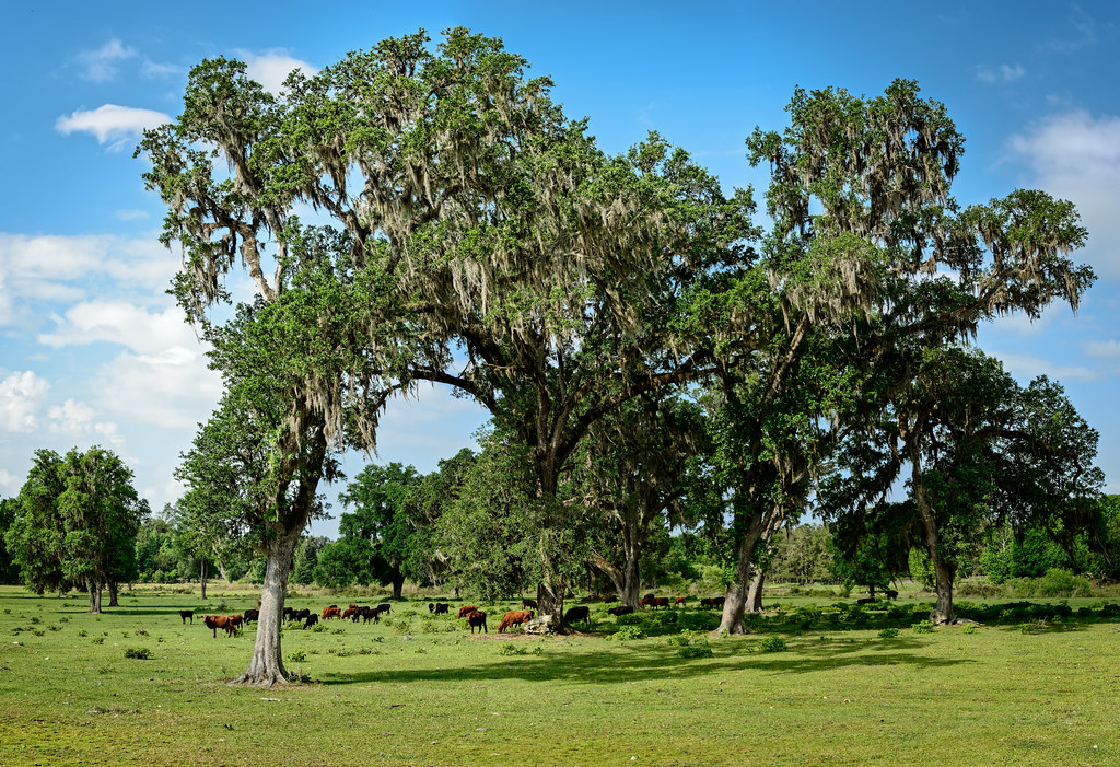
Greener Pastures
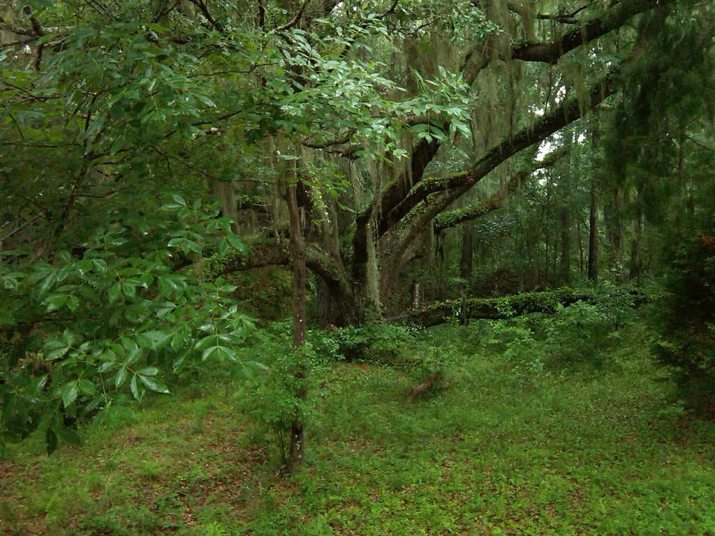
Williston west of Gainsville Devil' Den

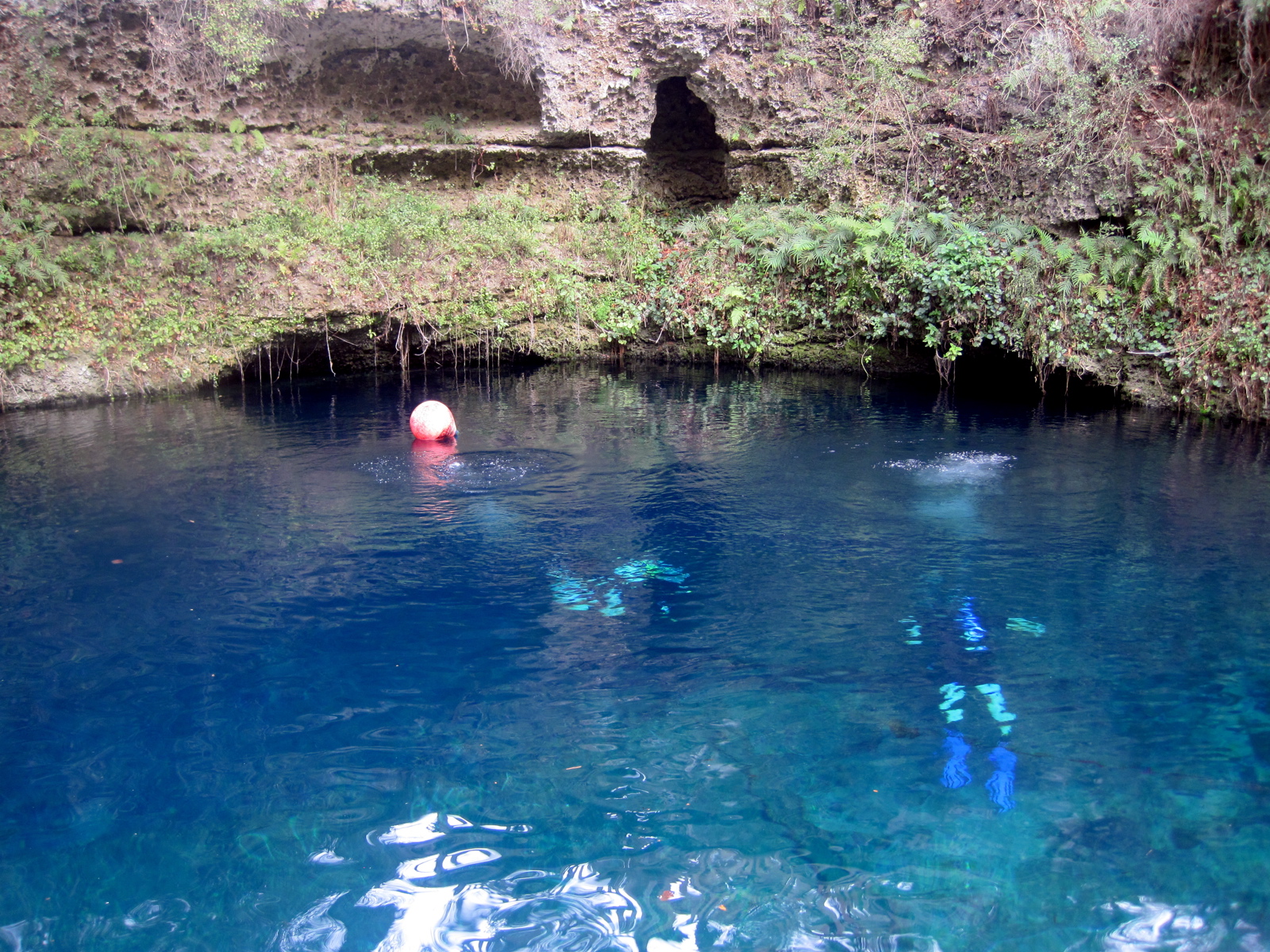
Devil's Den
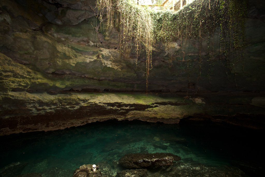
Devil's Den
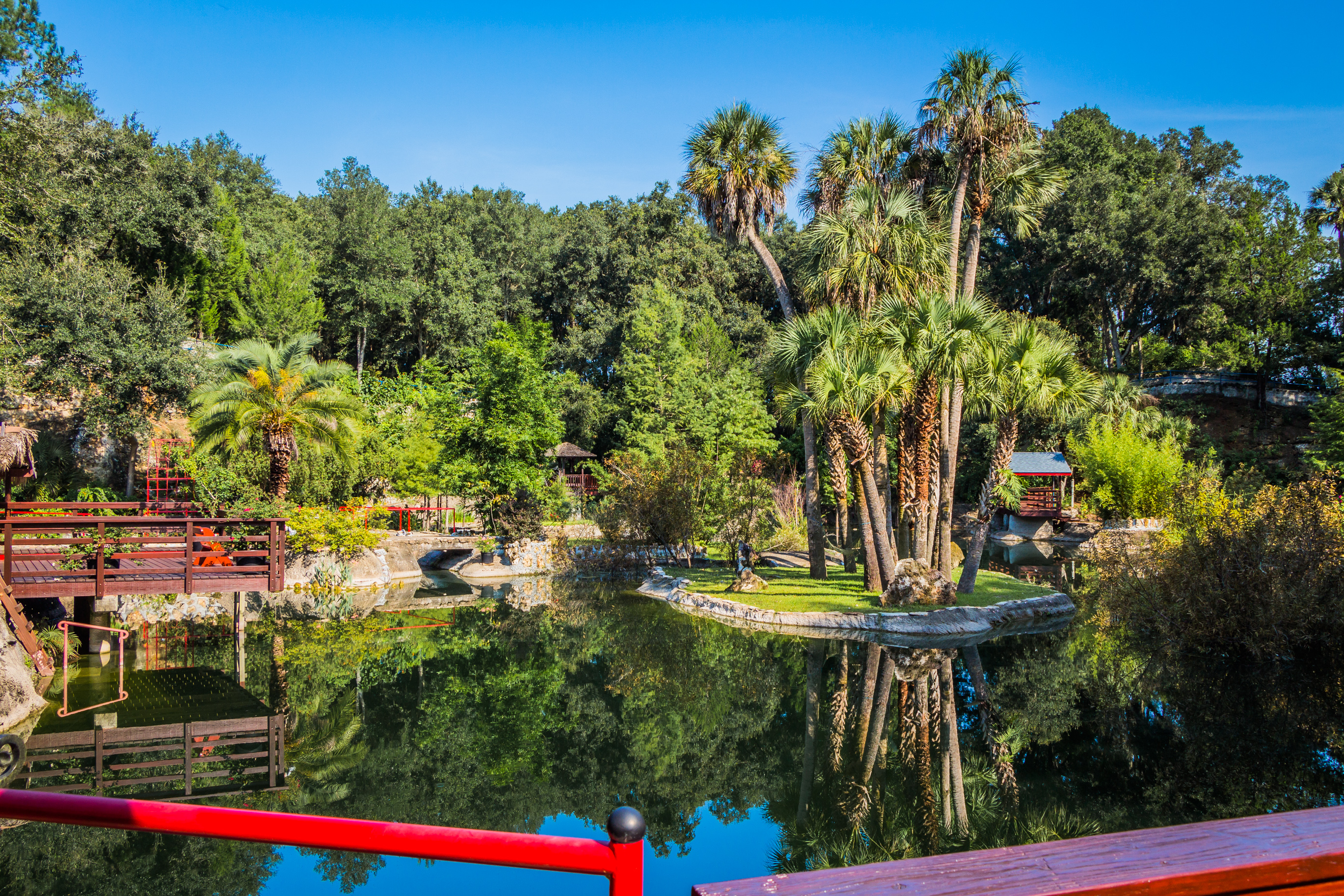
Cedar Lakes 8

Launch Point
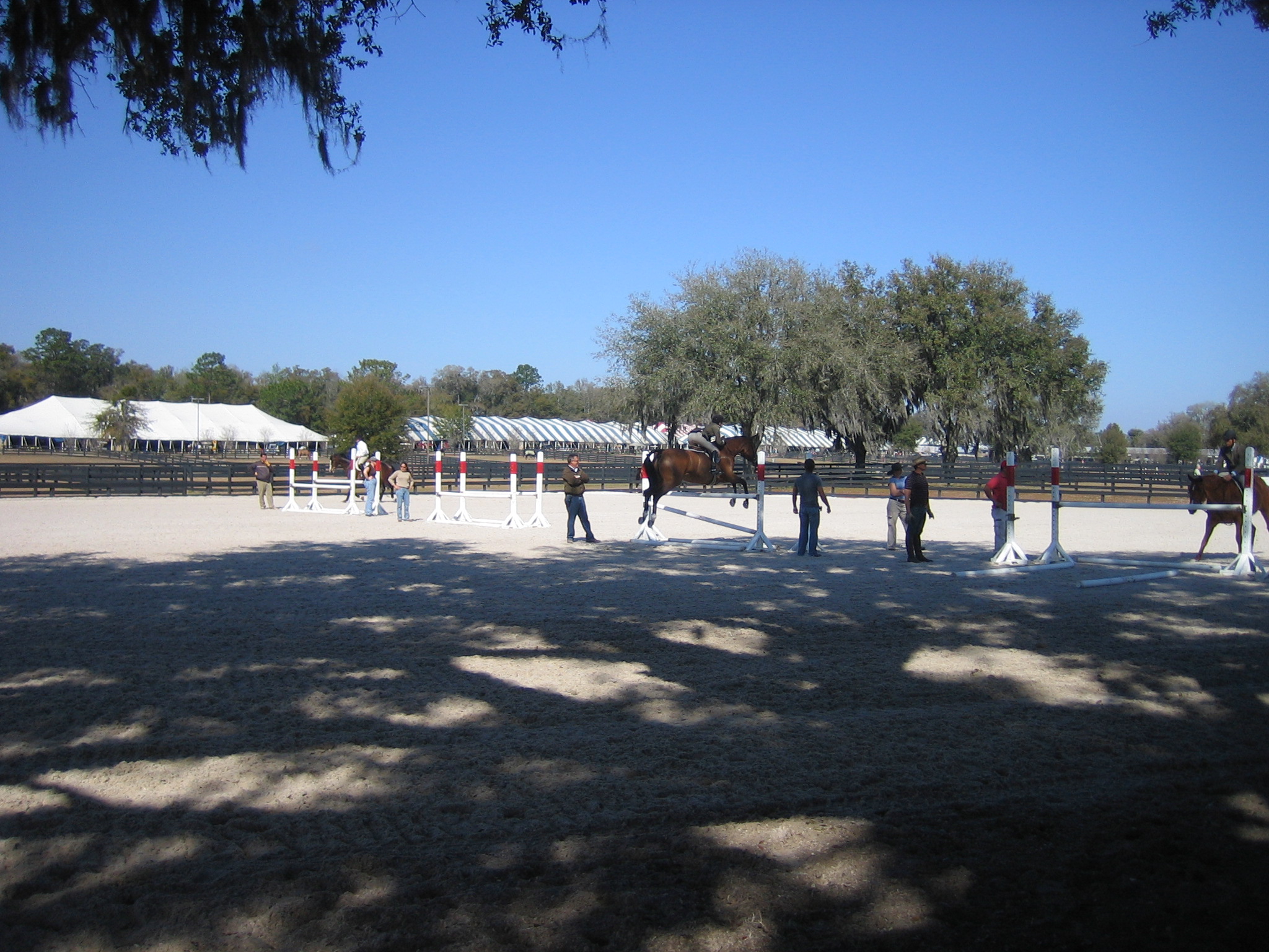
Williston Fl
IMG_9597.JPG

IMG_9586.JPG
Hits 2007 019

Project 365- 53-365

Sprague's Pipit

Ammodramus savannarum

Sprague's Pipit
Topographic Map of FL-, Williston, FL, USA
Find elevation by address:

Places near FL-, Williston, FL, USA:
507 Se 1st Ave
147 N Main St
Williston
Williston
1000 Nw Main St
NE 50 St, Williston, FL, USA
124 S Main St
340 W Noble Ave
Devil's Den Prehistoric Spring
3251 Ne 180 Ave
17691 Ne 40th St
16350 Ne 53 Ln
15253 Nw 185th St
14790 Nw 185th St
6451 Ne 156th Ct
6871 Ne 155 Ave
16051 Ne 75th St
6871 Ne 155th Ave
6331 Ne 150th Ave
5850 Ne 150th Ave
Recent Searches:
- Elevation map of Greenland, Greenland
- Elevation of Sullivan Hill, New York, New York, 10002, USA
- Elevation of Morehead Road, Withrow Downs, Charlotte, Mecklenburg County, North Carolina, 28262, USA
- Elevation of 2800, Morehead Road, Withrow Downs, Charlotte, Mecklenburg County, North Carolina, 28262, USA
- Elevation of Yangbi Yi Autonomous County, Yunnan, China
- Elevation of Pingpo, Yangbi Yi Autonomous County, Yunnan, China
- Elevation of Mount Malong, Pingpo, Yangbi Yi Autonomous County, Yunnan, China
- Elevation map of Yongping County, Yunnan, China
- Elevation of North 8th Street, Palatka, Putnam County, Florida, 32177, USA
- Elevation of 107, Big Apple Road, East Palatka, Putnam County, Florida, 32131, USA
- Elevation of Jiezi, Chongzhou City, Sichuan, China
- Elevation of Chongzhou City, Sichuan, China
- Elevation of Huaiyuan, Chongzhou City, Sichuan, China
- Elevation of Qingxia, Chengdu, Sichuan, China
- Elevation of Corso Fratelli Cairoli, 35, Macerata MC, Italy
- Elevation of Tallevast Rd, Sarasota, FL, USA
- Elevation of 4th St E, Sonoma, CA, USA
- Elevation of Black Hollow Rd, Pennsdale, PA, USA
- Elevation of Oakland Ave, Williamsport, PA, USA
- Elevation of Pedrógão Grande, Portugal