Elevation of Fiskdale, Sturbridge, MA, USA
Location: United States > Massachusetts > Worcester County > Sturbridge > Sturbridge >
Longitude: -72.11341
Latitude: 42.1162056
Elevation: 187m / 614feet
Barometric Pressure: 99KPa
Elevation Map:
Satellite Map:
Related Photos:

New England Church
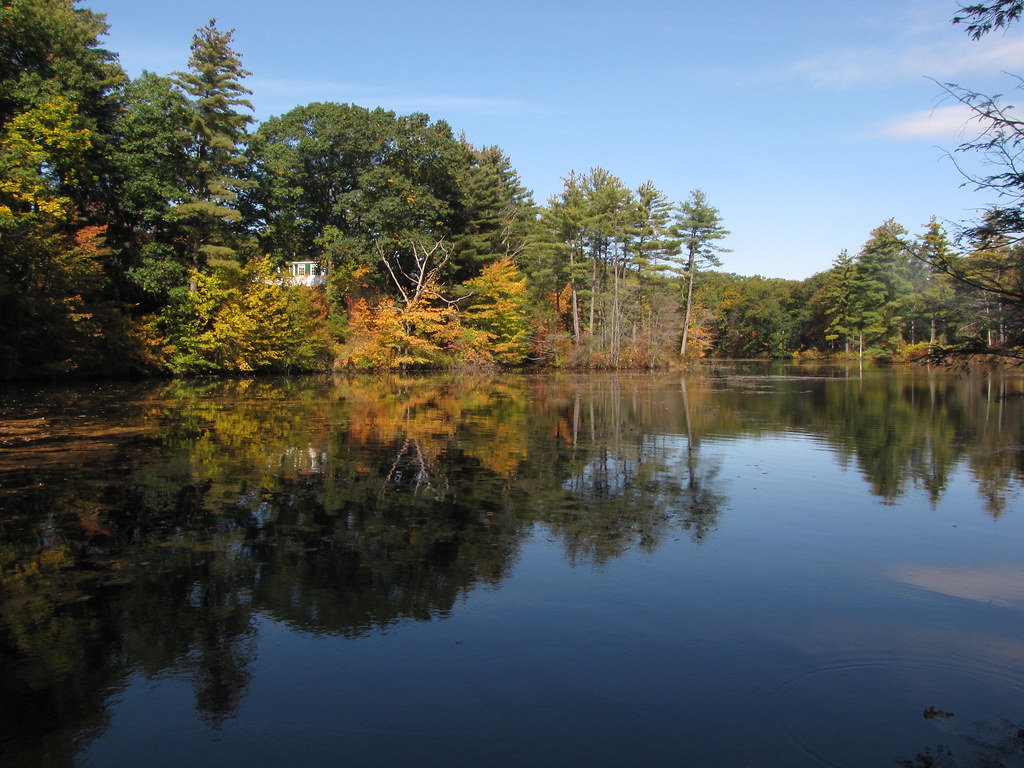
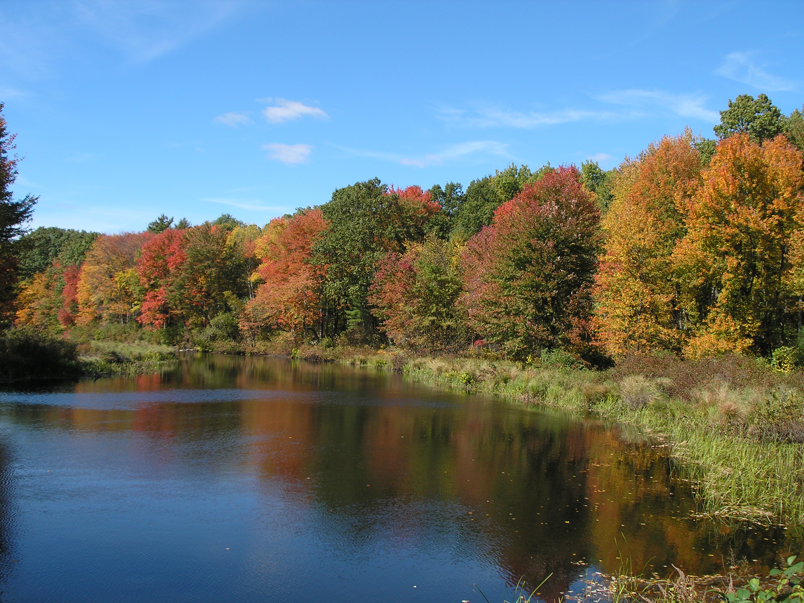
Quinebaug River
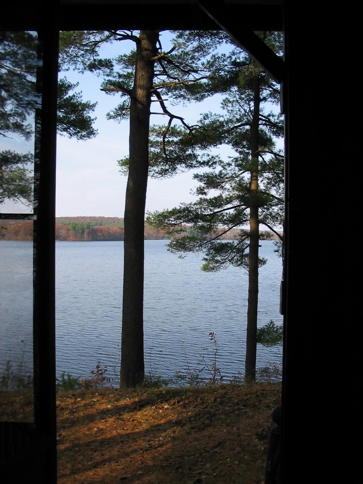
View from the Visitor's Center

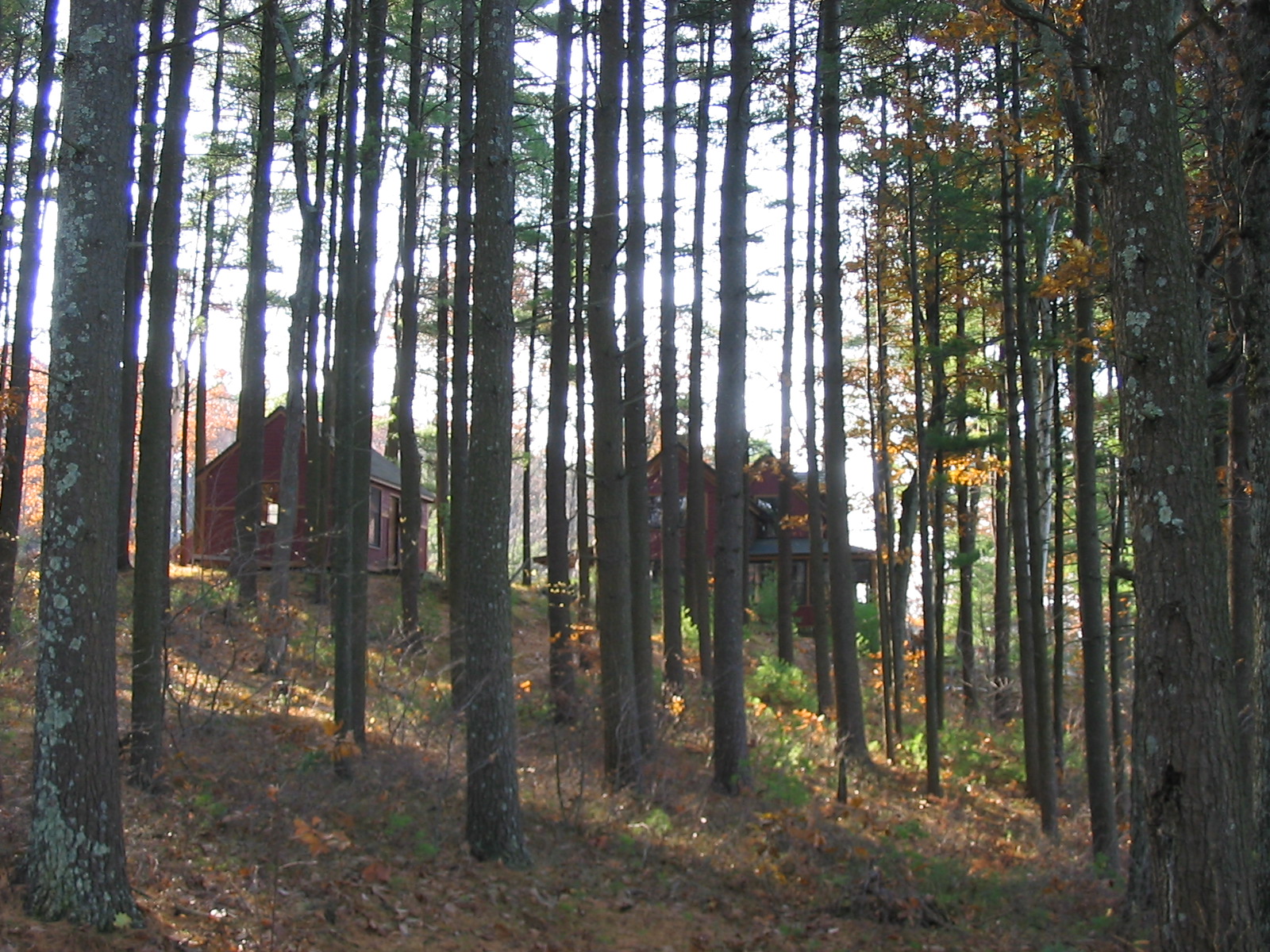
Apartment View
wild goose-2003-10-02-05

Awarewness #twotakes #awareness #in my view
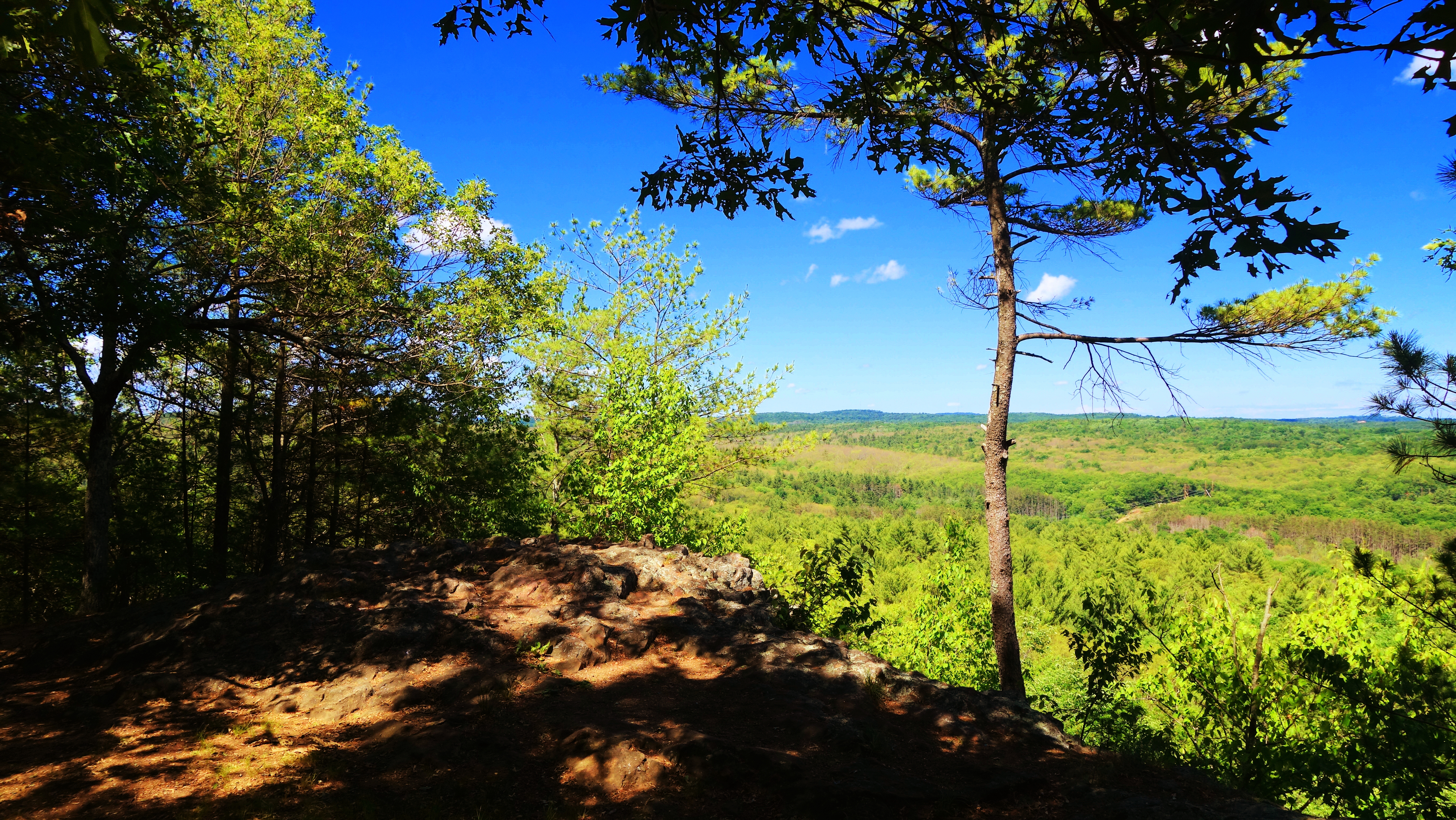
View from Carpenter Rock

Covered Bench

Enjoying the view

LOVE this view!!

Long tailed Duck
Eared Grebe with Horned Grebe
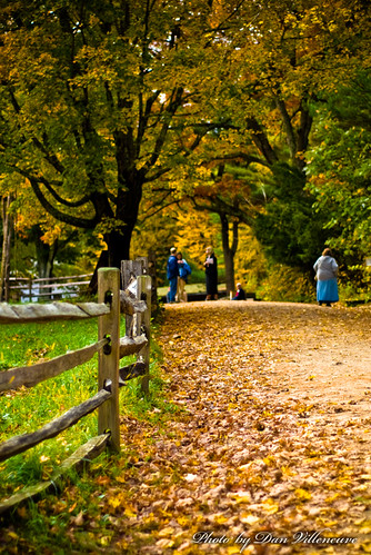
the longer way home
Long tailed Duck
Eared Grebe with Horned Grebe
Pied billed Grebe
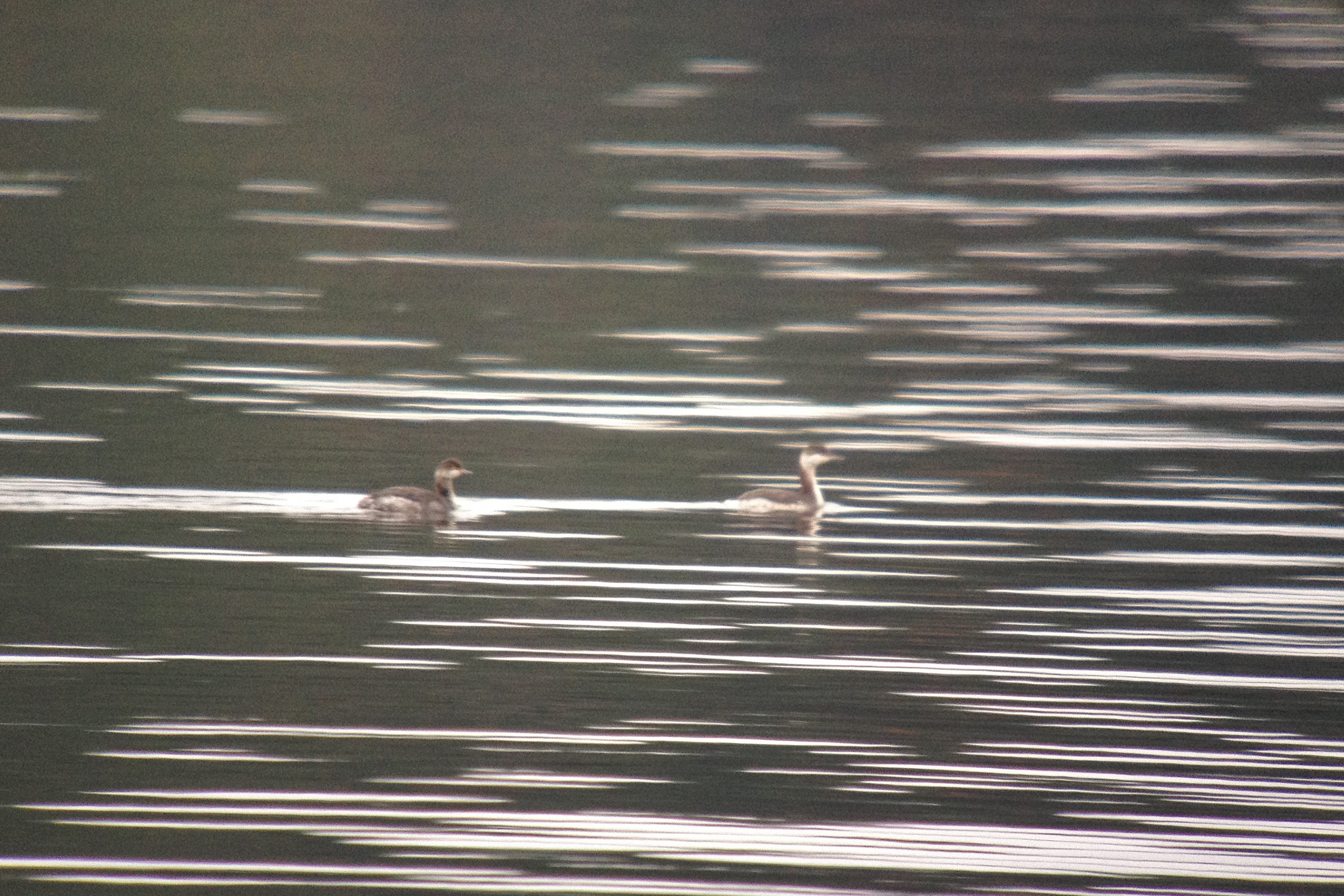
Eared Grebe with Horned Grebe

Eared Grebe with Horned Grebe

US-MA Workshop in Old Sturbridge 2010-07-04
wild goose-2003-10-02-01

Eared Grebe with Horned Grebe

Frozen pond

Covered bridge
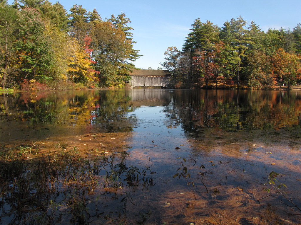
Mill Pond & Dummerston Bridge

Can you hear the crickets?
DSC_7158 (2)
Those Crazy Kids

abandoned shack

Another Charlton sunset

Sunrise on Ma Pike

CSC_7297 (5)

CSC_7312 (2)
Very New England

Double Rainbow
Sailors take warning.
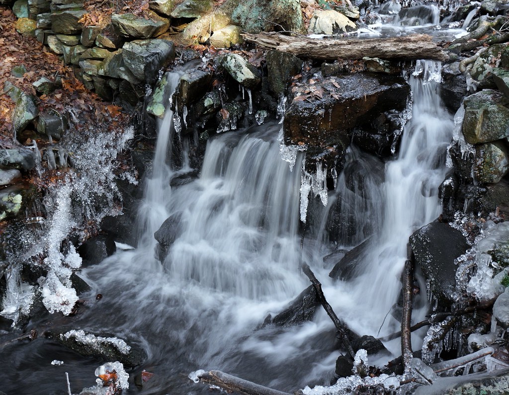
that little waterfall
2006 Early oct
Topographic Map of Fiskdale, Sturbridge, MA, USA
Find elevation by address:

Places near Fiskdale, Sturbridge, MA, USA:
40 Draper Woods Rd
7 Acorn Ln
96 Westwood Dr
Sturbridge
Sturbridge
Sturbridge
18 Hall Rd
2 Allen Rd
82 Breakneck Rd
300 Forest Ave
225 Forest Ave
2 Brookfield Rd, Brimfield, MA, USA
183 Forest Ave
Brimfield
34 Dix Hill Rd
10 N Main St
14 Brandon St
11 Mashapaug Rd
71 Haynes Hill Rd
1198 Ct-198
Recent Searches:
- Elevation of Corso Fratelli Cairoli, 35, Macerata MC, Italy
- Elevation of Tallevast Rd, Sarasota, FL, USA
- Elevation of 4th St E, Sonoma, CA, USA
- Elevation of Black Hollow Rd, Pennsdale, PA, USA
- Elevation of Oakland Ave, Williamsport, PA, USA
- Elevation of Pedrógão Grande, Portugal
- Elevation of Klee Dr, Martinsburg, WV, USA
- Elevation of Via Roma, Pieranica CR, Italy
- Elevation of Tavkvetili Mountain, Georgia
- Elevation of Hartfords Bluff Cir, Mt Pleasant, SC, USA