Elevation of Fishing Creek, MD, USA
Location: United States > Maryland > Dorchester County > 6, Hoopers Island >
Longitude: -76.224387
Latitude: 38.322345
Elevation: 0m / 0feet
Barometric Pressure: 101KPa
Elevation Map:
Satellite Map:
Related Photos:

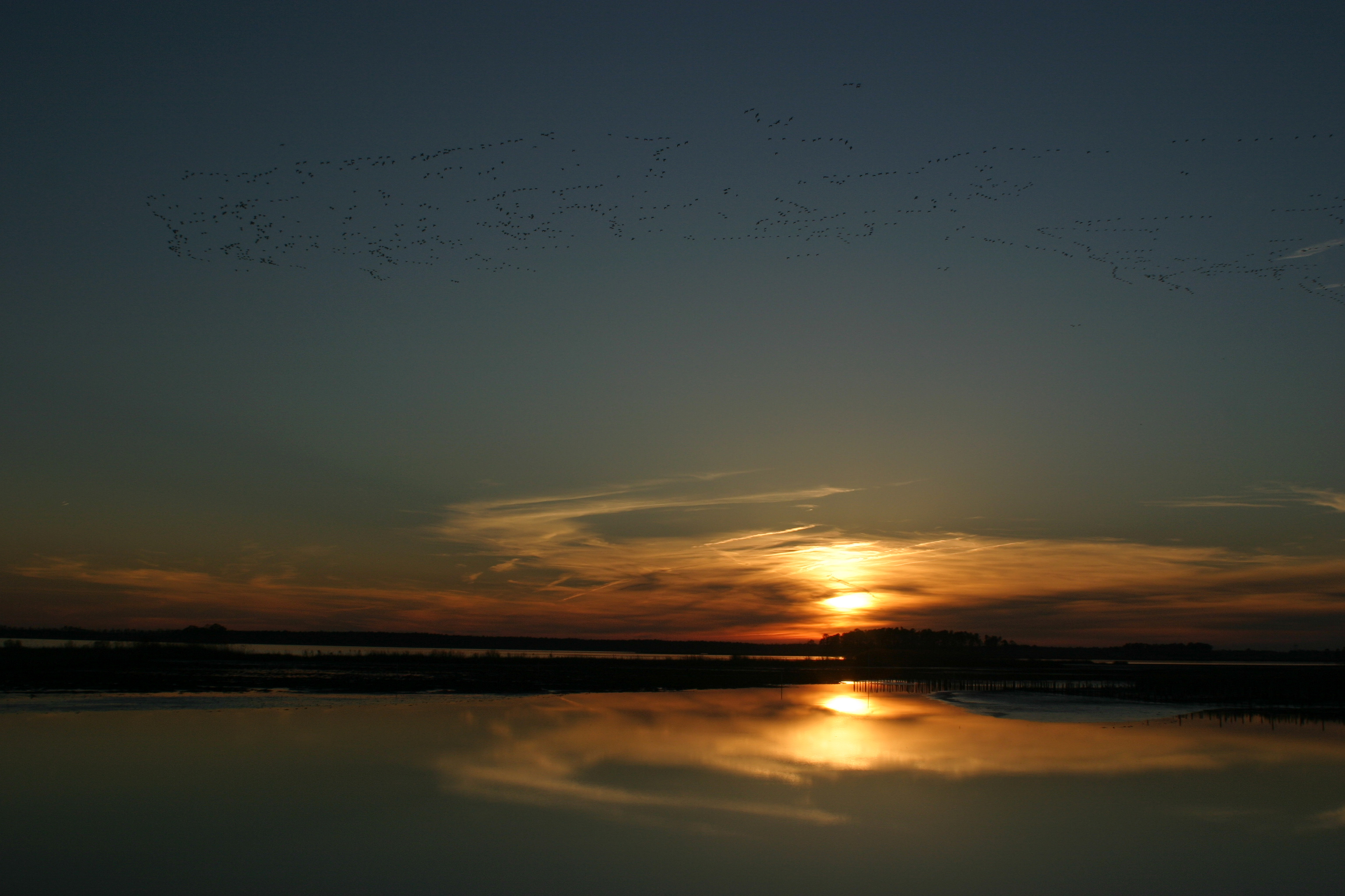
A "Super" Sunrise

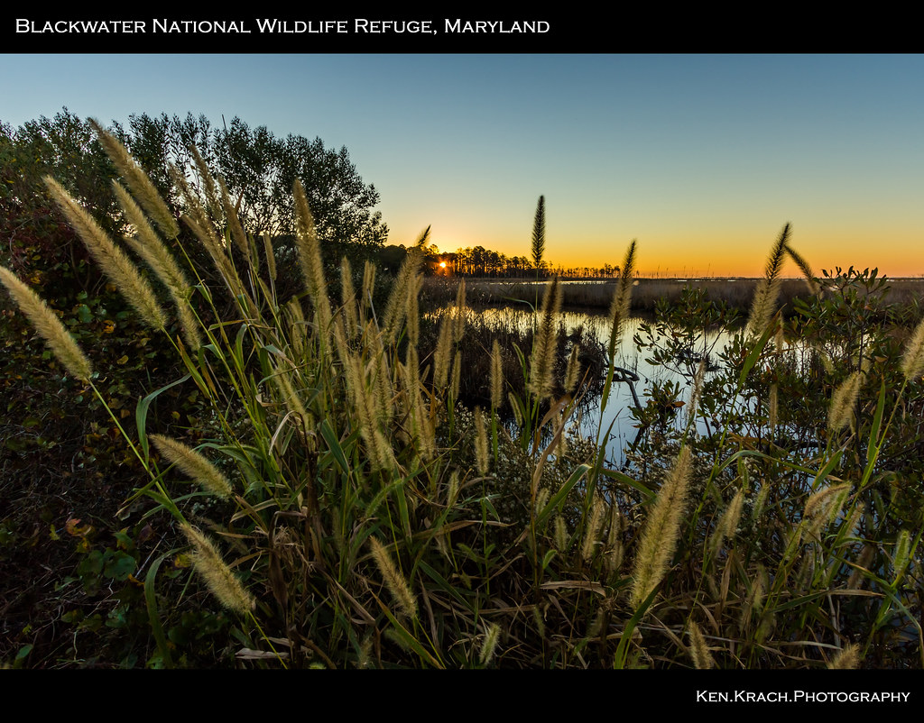
View At Blackwater National Wildlife Refuge

ISS over Fishing Pier
About Harry's 2007 lighthouse show at Cove Point Light.
Winter Geese at Blackwater
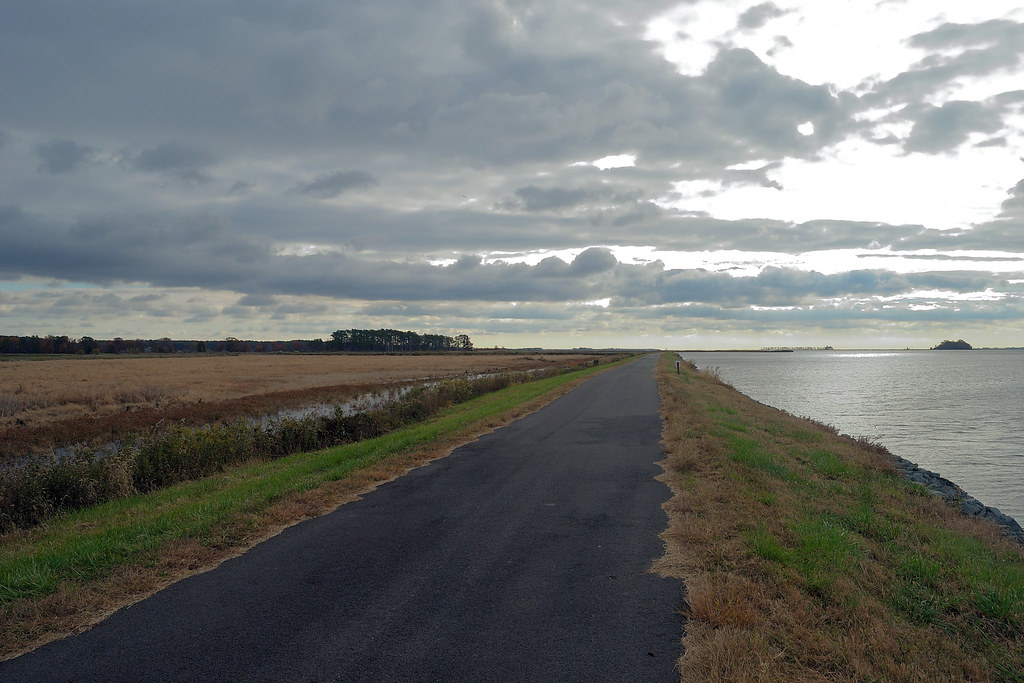
View Along The Wildlife Drive
The View from Cove Point Lighthouse
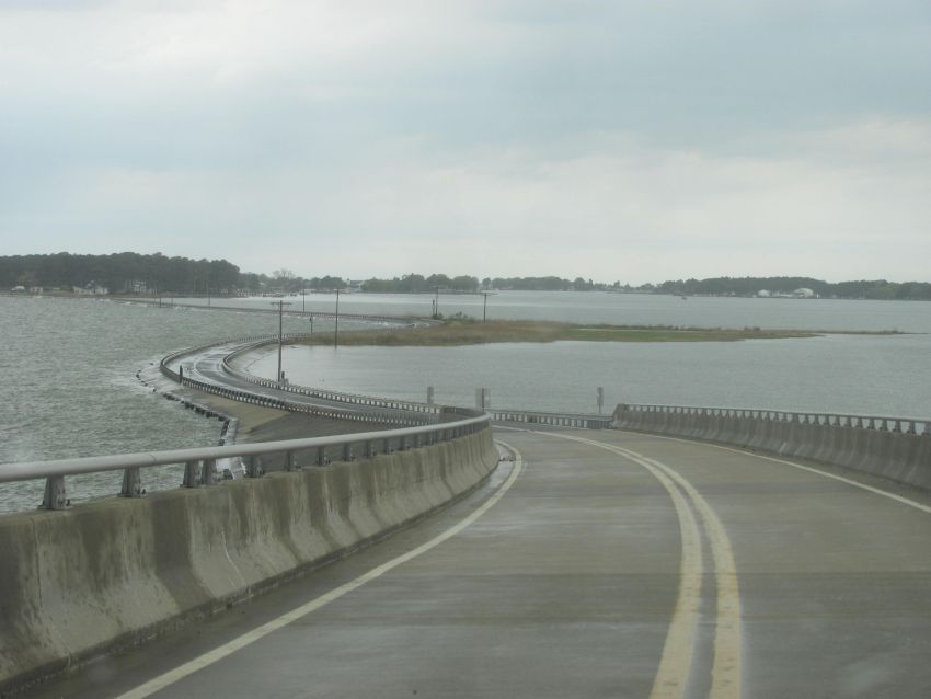
View atop the Narrows Ferry Bridge
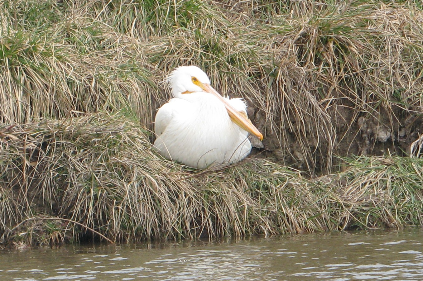
American White Pelican

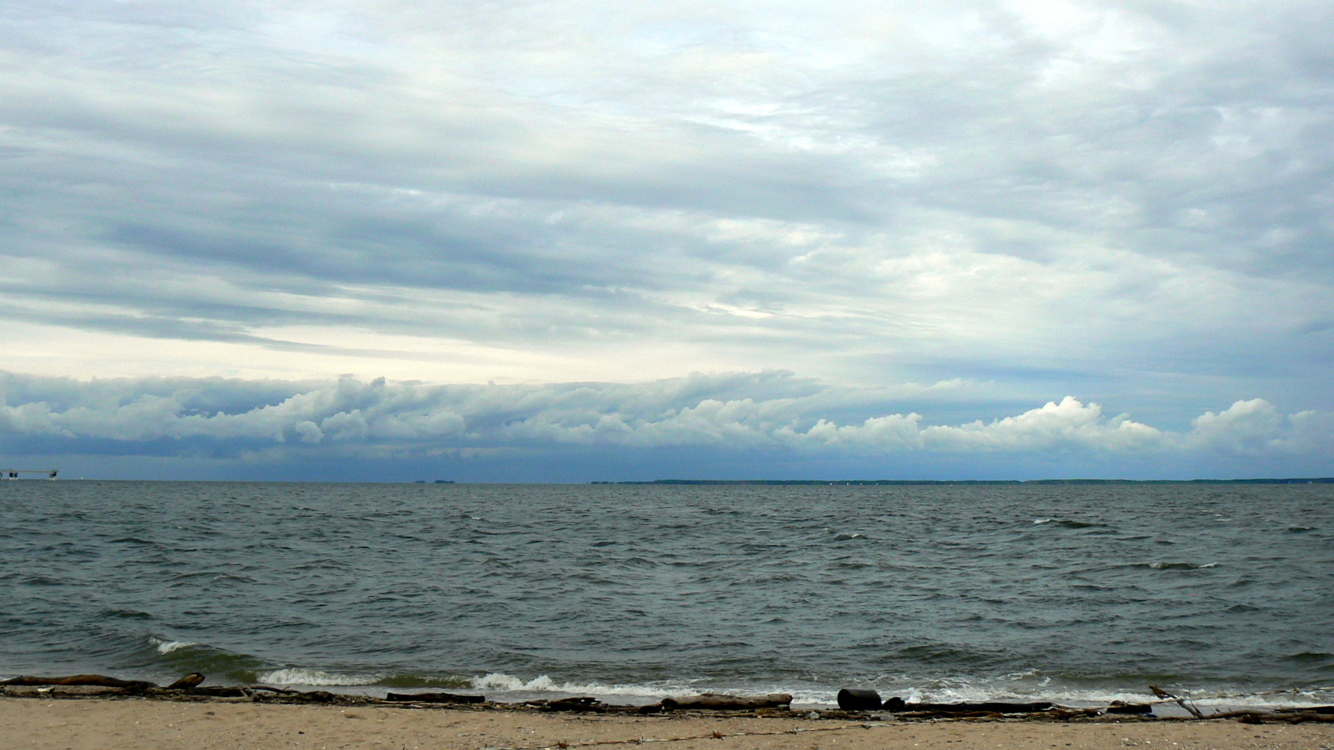
A view of the bay
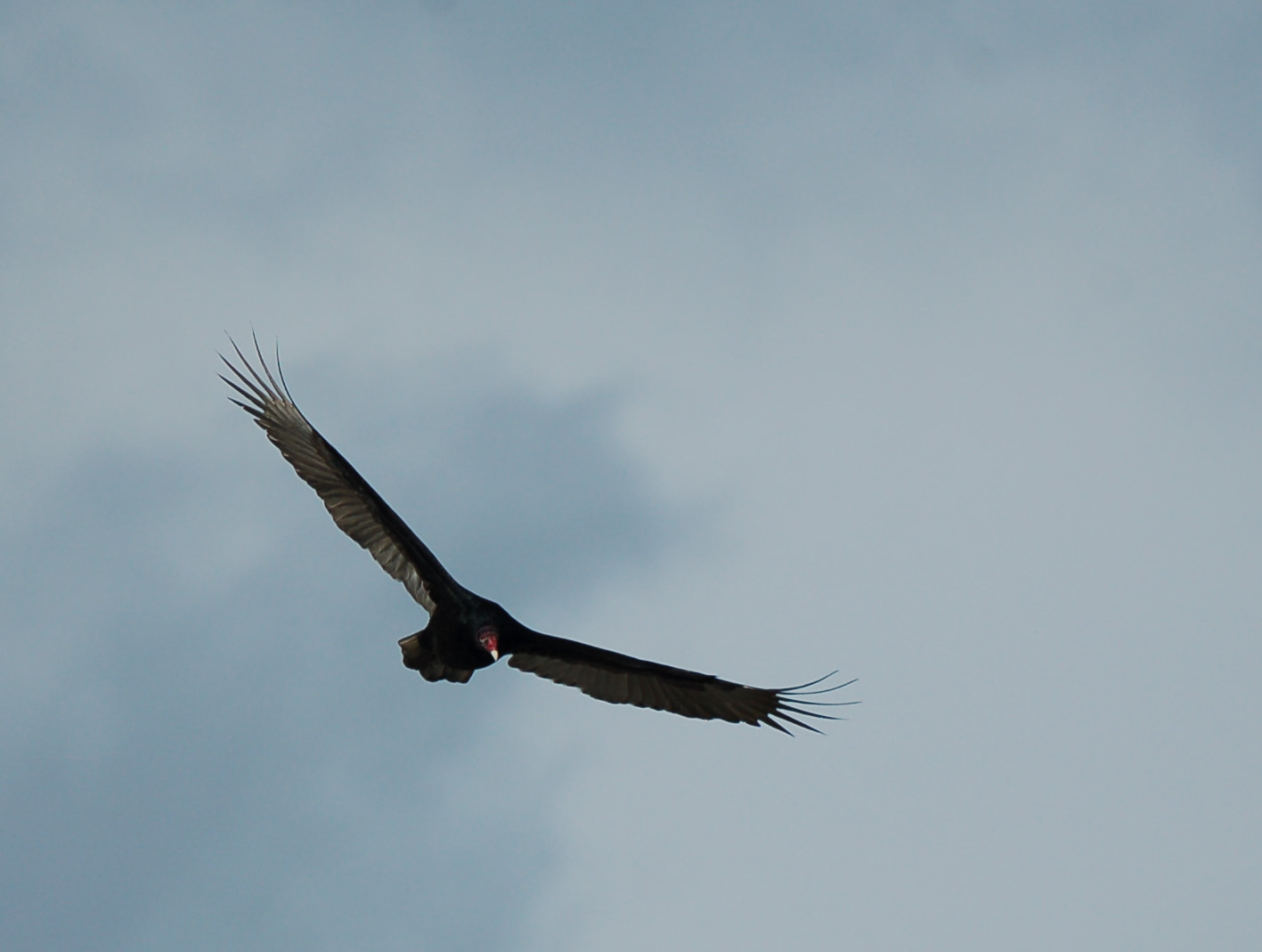
Turkey Vulture - Blackwater NWR - 31 December 2015
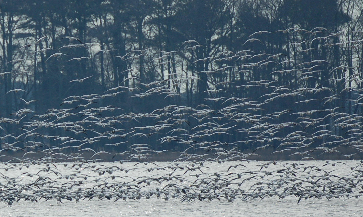
Snow Goose Flock - Blackwater NWR - 31 December 2015
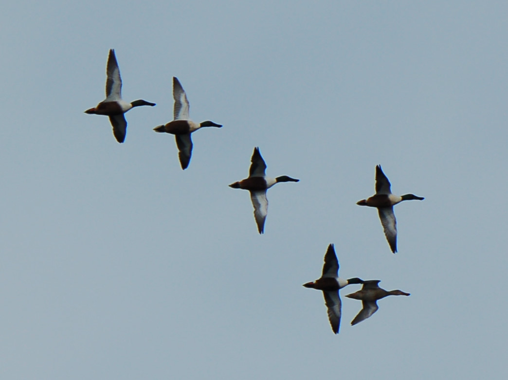
Northern Shovelers - Blackwater NWR - 31 December 2015

Blackwater!
National Treasure!
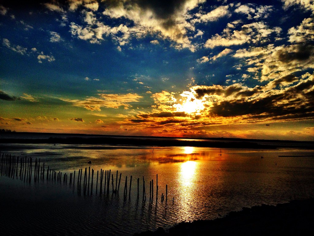
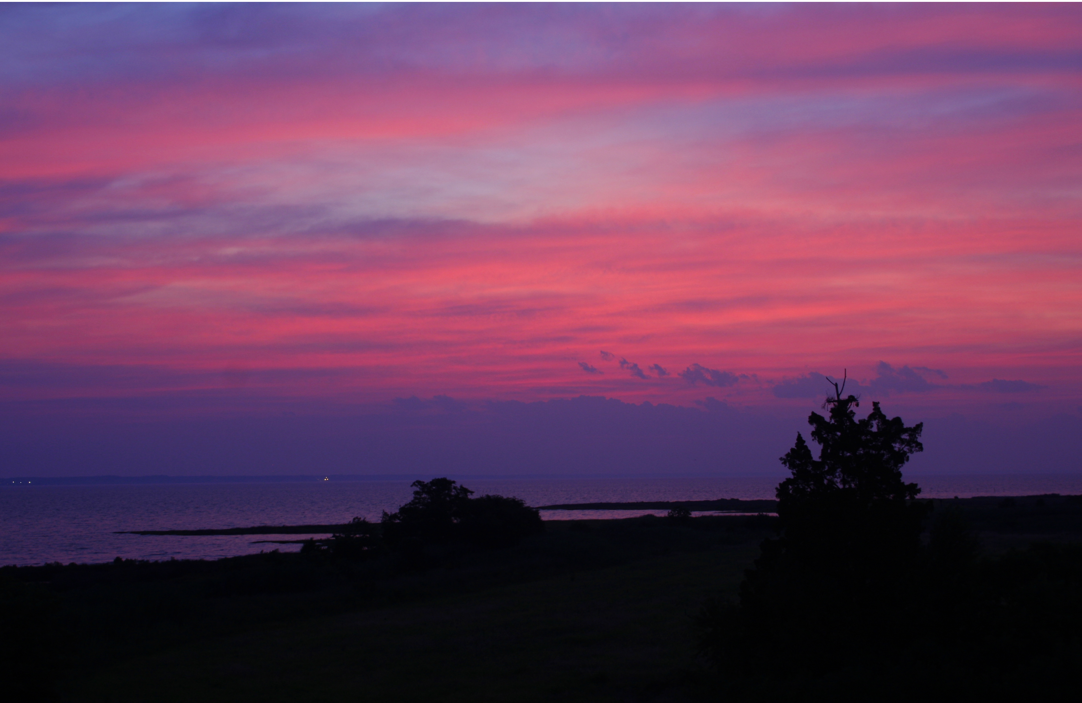
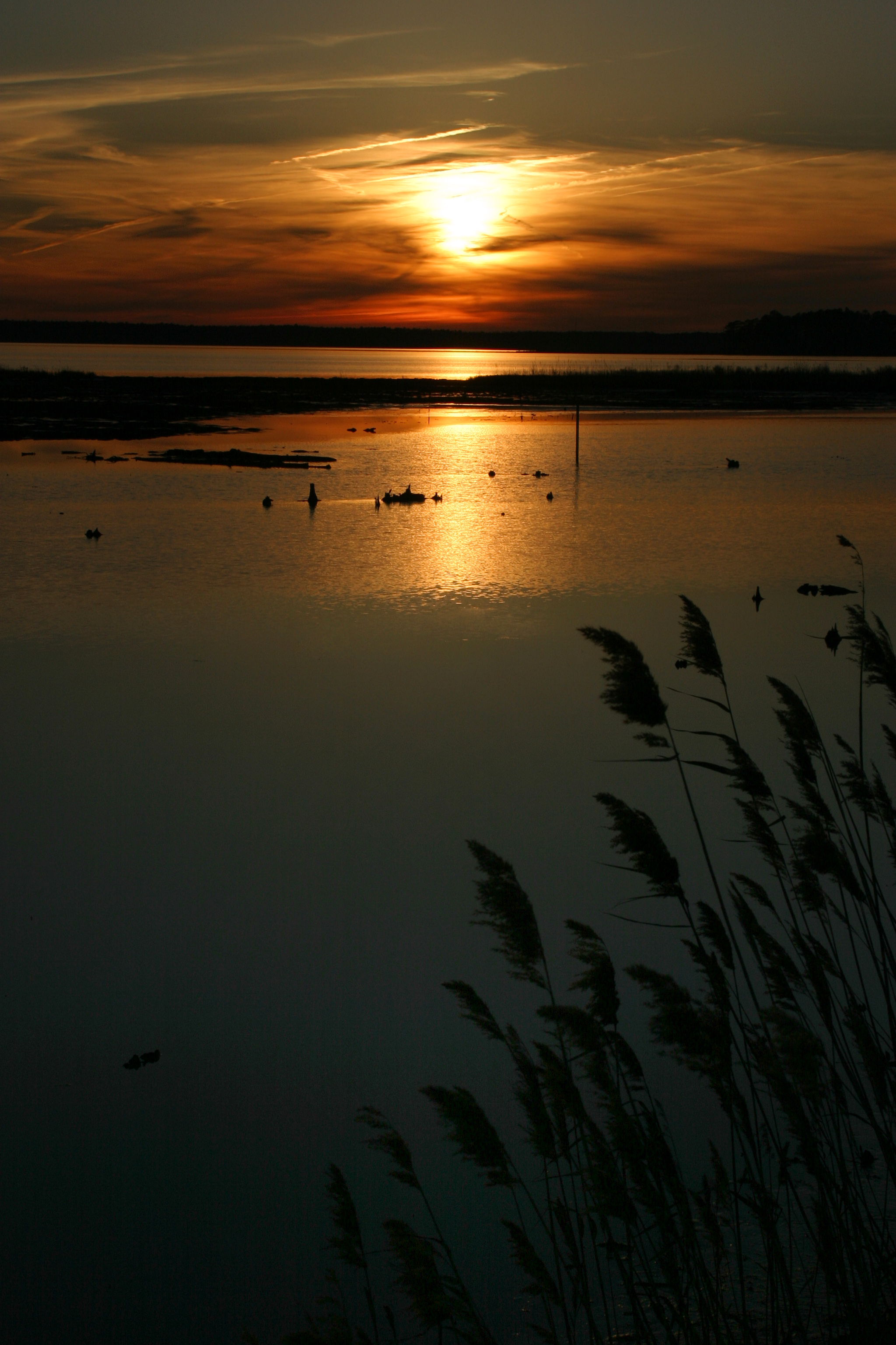
Sunset. Eastern Shore, Maryland

Hoopers Island
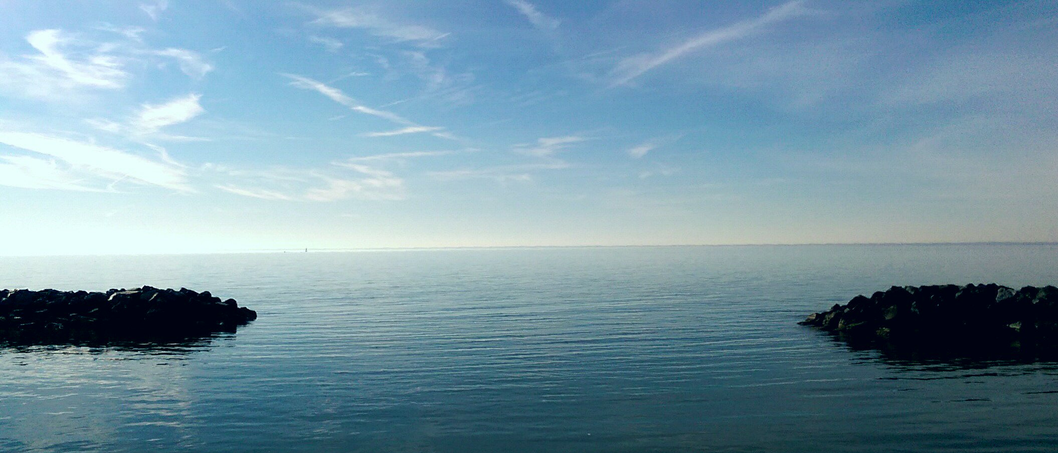
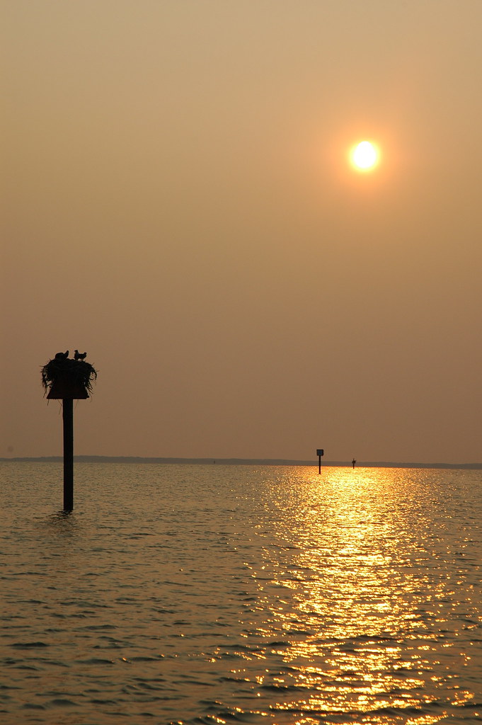
Calm on theChesapeake Bay
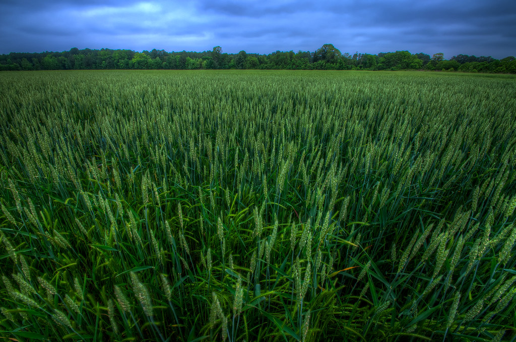
Magic Hour Wheat Field

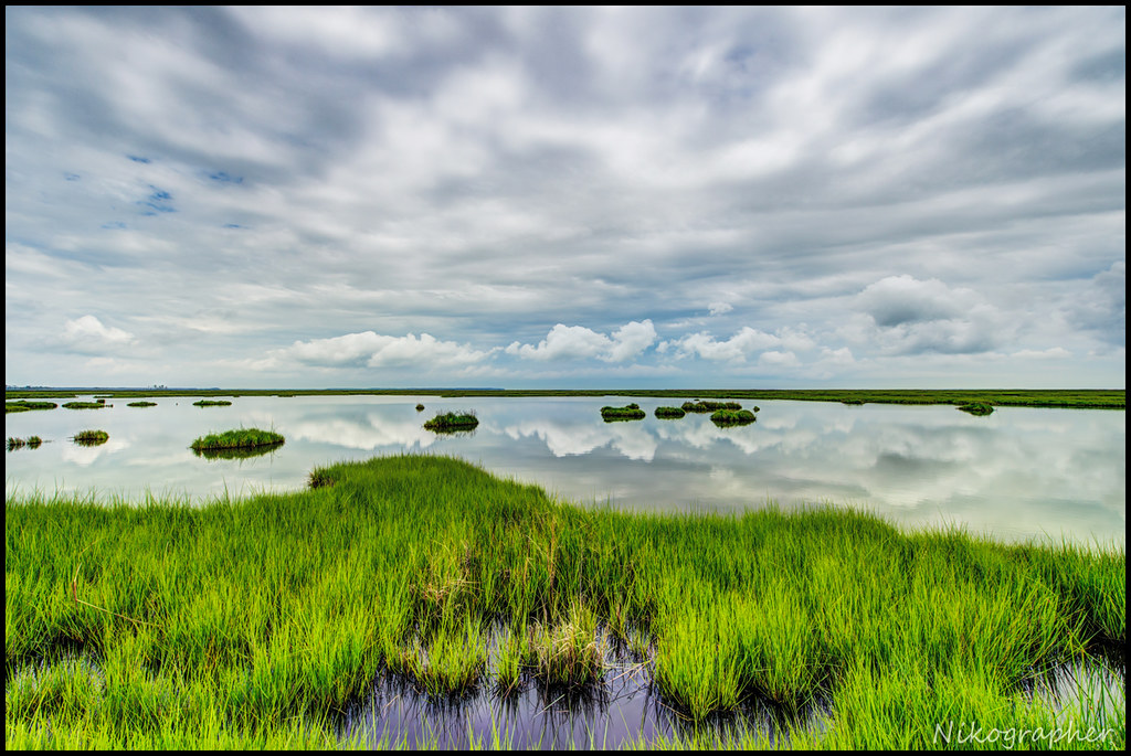
Blackwater National Wildlife Refuge
Blackwater NWR sunrise
The way out...
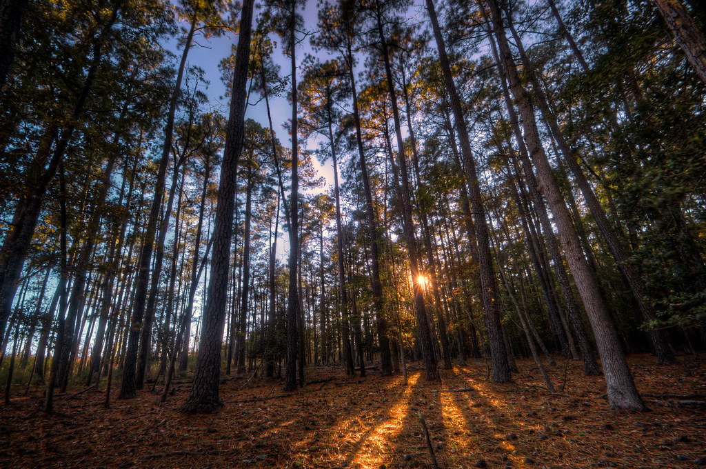
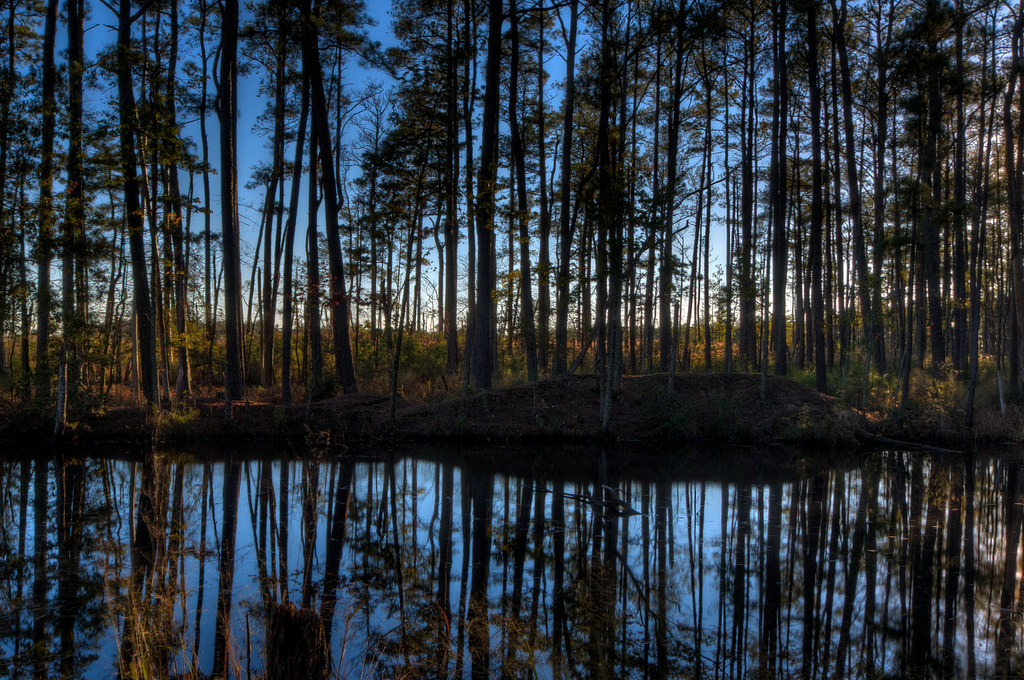
Sunset in The Woods
Blackwater Dusk
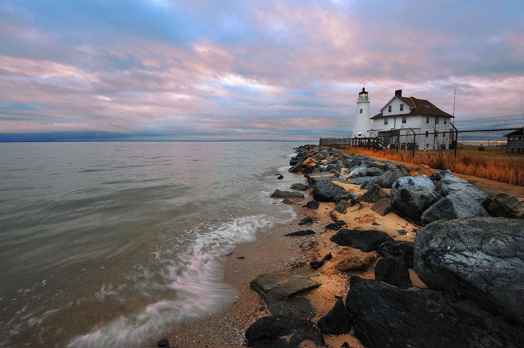
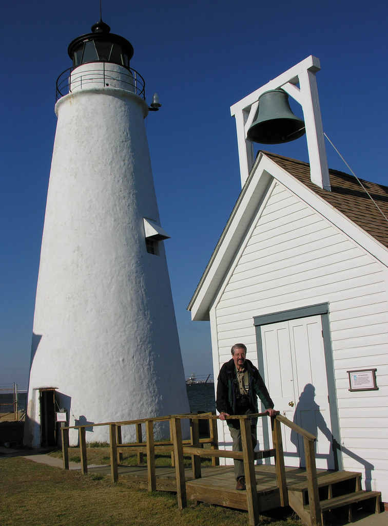
Cove Point Lighthouse
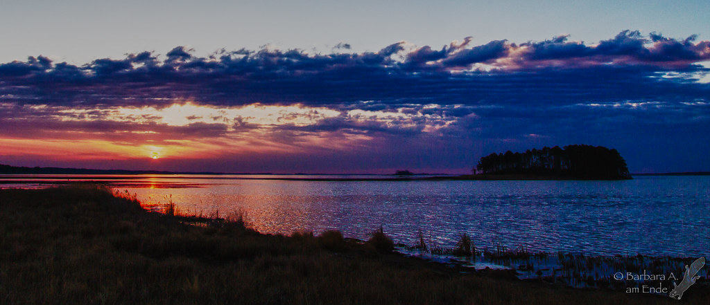
Sunset on the Chesapeake Bay
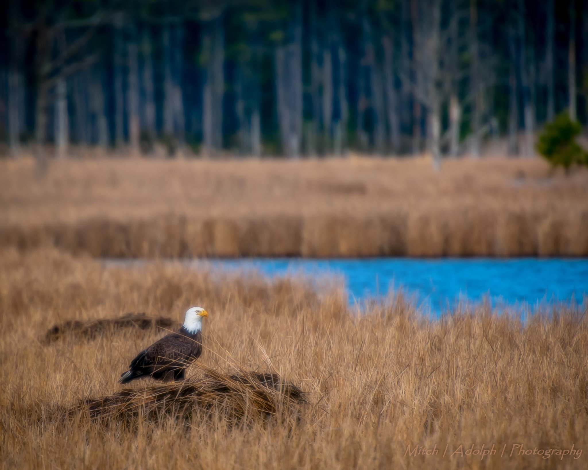
IMAGE_00000000-0000-0000-0000-000000002BEA.JPG

Blackwater National Wildlife Refuge

Front Rolling In
Marsh Sunset

Newly planted marsh grass, Barren Island
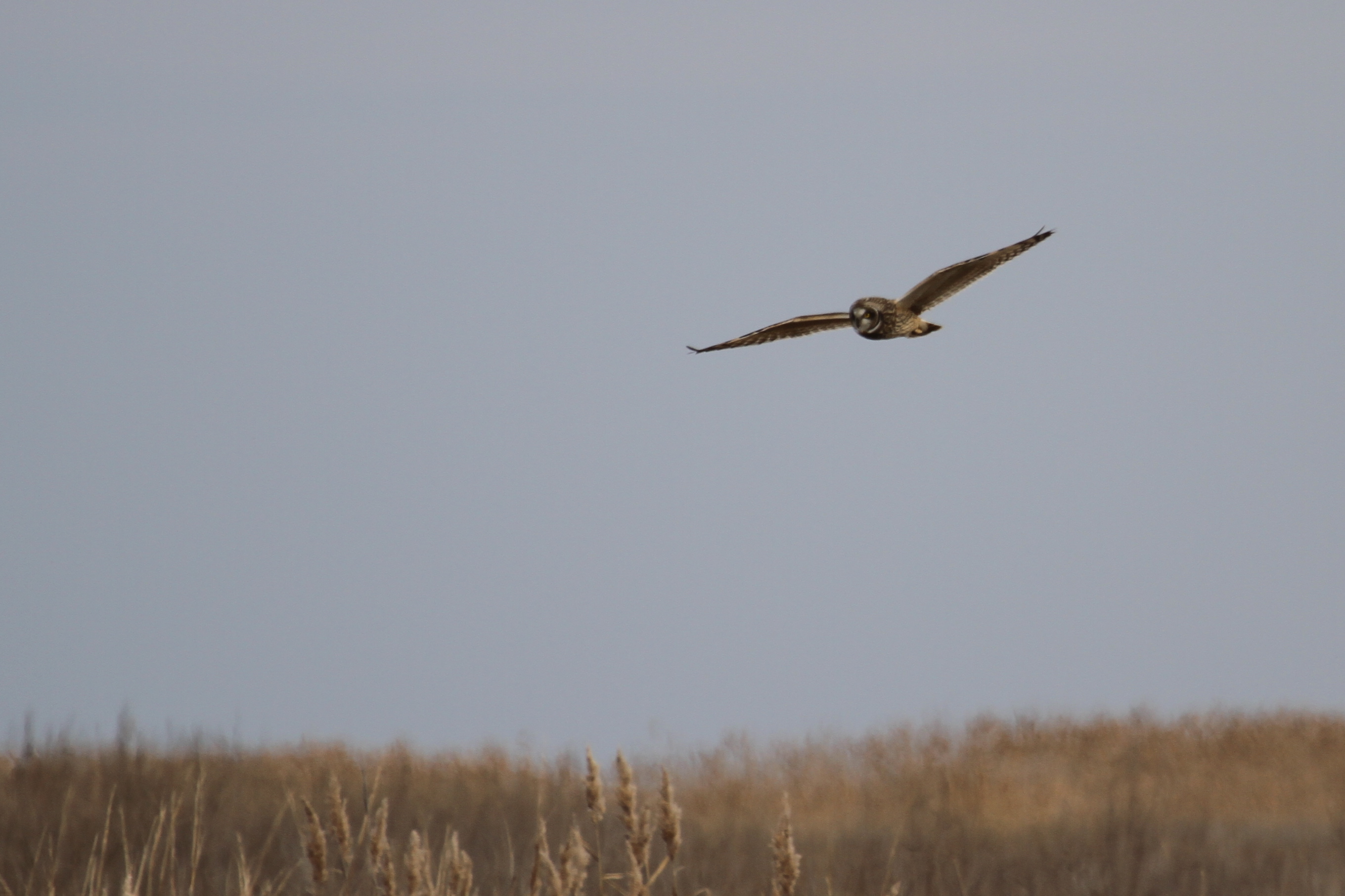
Short-eared Owl - Dorchester County
Sunrise Through the Grass - Blackwater Fall 2012 (20)
Topographic Map of Fishing Creek, MD, USA
Find elevation by address:

Places in Fishing Creek, MD, USA:
Old House Point Rd, Fishing Creek, MD, USA
Hoopersville Rd, Fishing Creek, MD, USA
Hoopersville Rd, Fishing Creek, MD, USA
Places near Fishing Creek, MD, USA:
Old House Point Rd, Fishing Creek, MD, USA
Lakesville-Crapo Rd, Church Creek, MD, USA
5, Lakes
Dorchester County
Smithville Rd, Madison, MD, USA
Wesley Church Rd, Crapo, MD, USA
9, Church Creek
Key Wallace Dr, Cambridge, MD, USA
16, Madison
16, Madison
16, Madison
16, Madison
16, Madison
16, Madison
16, Madison
16, Madison
16, Madison
Blackwater National Wildlife Refuge
13, Bucktown
Recent Searches:
- Elevation of Corso Fratelli Cairoli, 35, Macerata MC, Italy
- Elevation of Tallevast Rd, Sarasota, FL, USA
- Elevation of 4th St E, Sonoma, CA, USA
- Elevation of Black Hollow Rd, Pennsdale, PA, USA
- Elevation of Oakland Ave, Williamsport, PA, USA
- Elevation of Pedrógão Grande, Portugal
- Elevation of Klee Dr, Martinsburg, WV, USA
- Elevation of Via Roma, Pieranica CR, Italy
- Elevation of Tavkvetili Mountain, Georgia
- Elevation of Hartfords Bluff Cir, Mt Pleasant, SC, USA