Elevation of Fish Creek, FL, USA
Location: United States > Florida > Taylor County >
Longitude: -83.57222
Latitude: 29.78611
Elevation: 1m / 3feet
Barometric Pressure: 101KPa
Elevation Map:
Satellite Map:
Related Photos:

Gulf View Road

Bench with a View

Jug Island, Florida

Angle to Key West

Hagens Cove

Hagens Cove

Hagens Cove

Hagens Cove
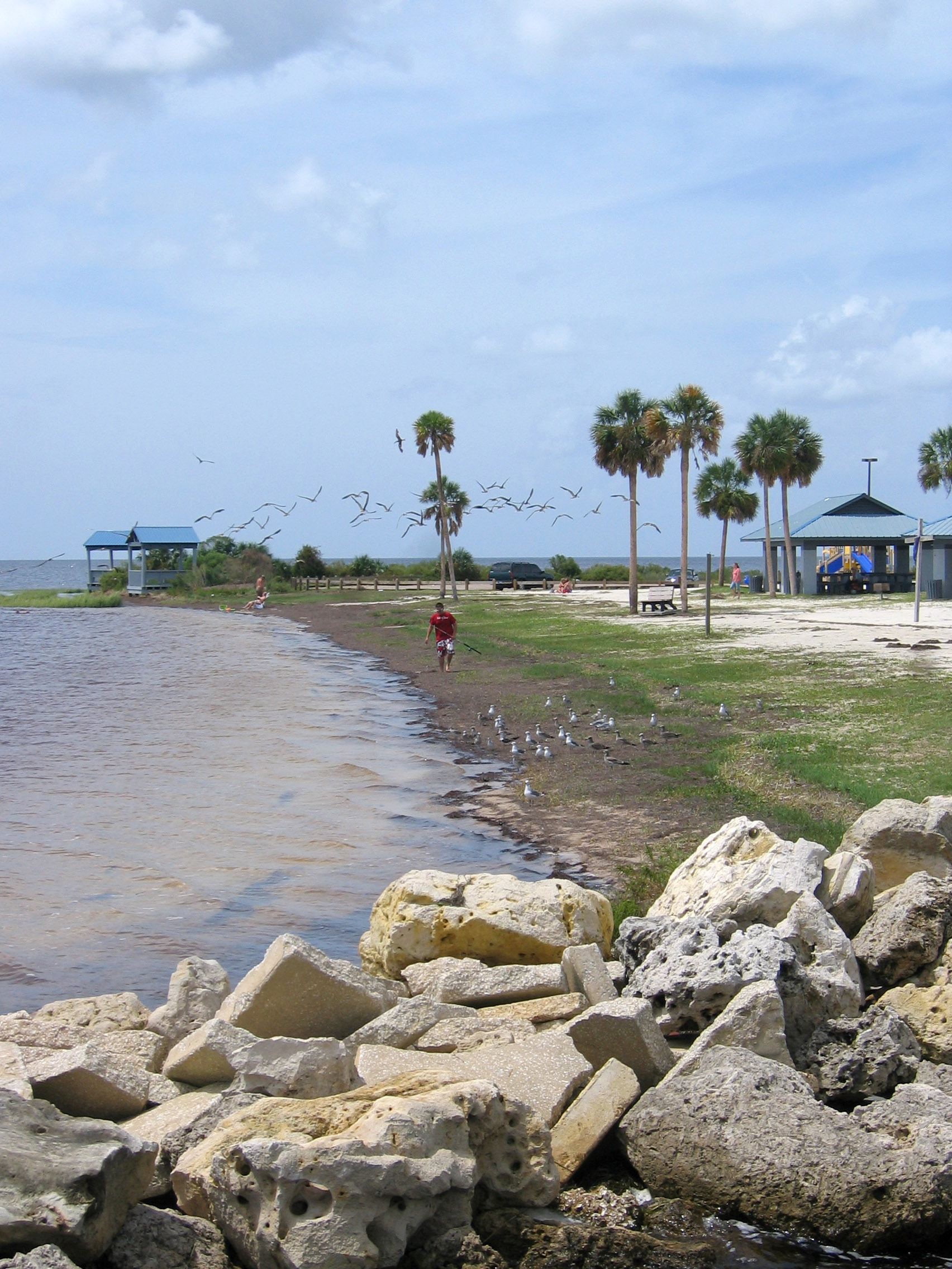
Keaton Beach

Julia at Keaton Beach

Keaton Beach Seagulls

Keaton Beach Seagulls
Topographic Map of Fish Creek, FL, USA
Find elevation by address:

Places near Fish Creek, FL, USA:
Fish Creek Rd, Perry, FL, USA
496 Cedar Island Rd
Cedar Island Road
Keaton Beach Dr, Perry, FL, USA
Keaton Beach Drive
19513 Jody Morgan Grade
Deerwood Avenue
Good Times Dr, Perry, FL, USA
17542 Jody Morgan Rd
2368 Turkey Oak Rd
14129 S Gulf Manor
7135 Jody Morgan Rd
7135 Jody Morgan Rd
Sea Trout Land, Perry, FL, USA
Salem
US-19, Salem, FL, USA
Steinhatchee, FL, USA
10625 Puckett Rd
115 4th Ave N
314 3rd St W
Recent Searches:
- Elevation of Corso Fratelli Cairoli, 35, Macerata MC, Italy
- Elevation of Tallevast Rd, Sarasota, FL, USA
- Elevation of 4th St E, Sonoma, CA, USA
- Elevation of Black Hollow Rd, Pennsdale, PA, USA
- Elevation of Oakland Ave, Williamsport, PA, USA
- Elevation of Pedrógão Grande, Portugal
- Elevation of Klee Dr, Martinsburg, WV, USA
- Elevation of Via Roma, Pieranica CR, Italy
- Elevation of Tavkvetili Mountain, Georgia
- Elevation of Hartfords Bluff Cir, Mt Pleasant, SC, USA