Elevation of Firetower Rd, Kiln, MS, USA
Location: United States > Mississippi > Hancock County > Kiln >
Longitude: -89.469325
Latitude: 30.4469156
Elevation: 15m / 49feet
Barometric Pressure: 101KPa
Elevation Map:
Satellite Map:
Related Photos:

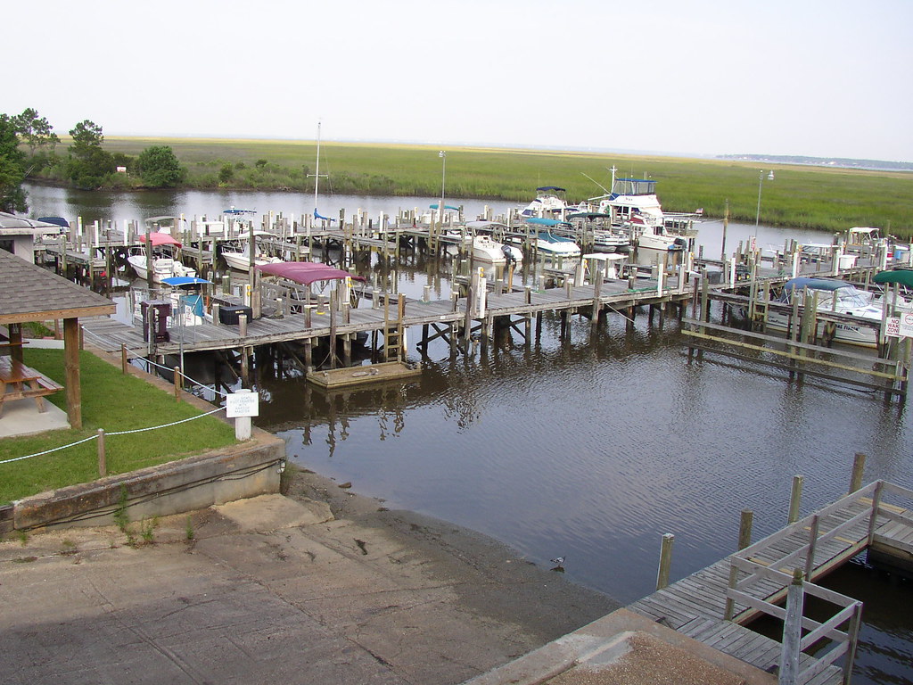
Bay St. Louis, Mississippi

Bay St. Louis, Mississippi
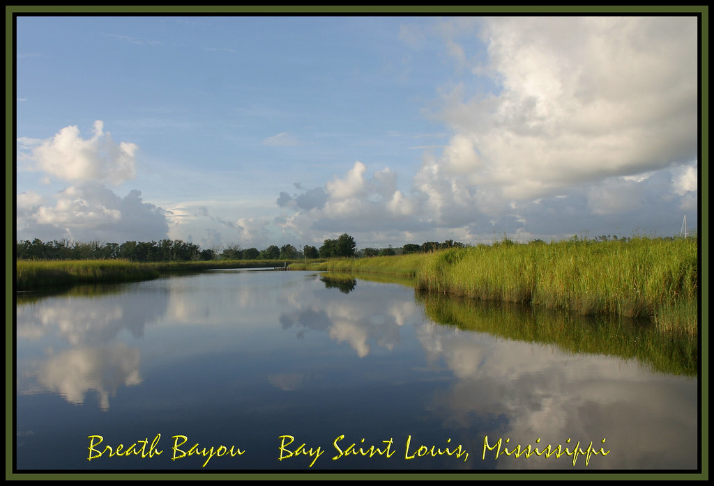
Breath Bayou

On the road!

Community again

Creek Walk

18/365 Psalm 19:1

In the fields... Day 8. #imakemovies #setlife #creativeflow

chucks 373
chucks 370

20100522-IMGP9850

20100522-IMGP9845
Topographic Map of Firetower Rd, Kiln, MS, USA
Find elevation by address:

Places near Firetower Rd, Kiln, MS, USA:
Firetower Road
South Necaise Circle
Mississippi 603
18390 Ms-603
9341 Browns Rd
Firetower Road
23280 Billie Green Rd
23584 Ms-603
8084 Dummyline Rd
3441 Rd 528
17092 Rd 527
Road 357
18534 Fenton Dedeaux Rd
17343 Rotten Bayou Rd
1687 Firetower Rd
1687 Firetower Rd
23069 Indian Ridge Rd
Rotten Bayou Road
10123 Possum Fork Rd
Runnymede Road
Recent Searches:
- Elevation of Corso Fratelli Cairoli, 35, Macerata MC, Italy
- Elevation of Tallevast Rd, Sarasota, FL, USA
- Elevation of 4th St E, Sonoma, CA, USA
- Elevation of Black Hollow Rd, Pennsdale, PA, USA
- Elevation of Oakland Ave, Williamsport, PA, USA
- Elevation of Pedrógão Grande, Portugal
- Elevation of Klee Dr, Martinsburg, WV, USA
- Elevation of Via Roma, Pieranica CR, Italy
- Elevation of Tavkvetili Mountain, Georgia
- Elevation of Hartfords Bluff Cir, Mt Pleasant, SC, USA