Elevation of Finch Rd, Franklinton, LA, USA
Location: United States > Louisiana > Washington Parish > Franklinton >
Longitude: -90.214056
Latitude: 30.7630779
Elevation: 59m / 194feet
Barometric Pressure: 101KPa
Elevation Map:
Satellite Map:
Related Photos:
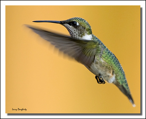
Hummingbird in flight in late evening...
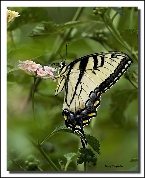
A Tiger Swallowtail at Mizell Farms...

A Mizell Farms tiger swallowtail....
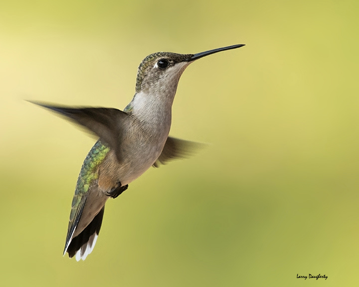
A Mizell Farms - female ruby-throated hummingbird........D800

Butterfly bush at Mizell Farms
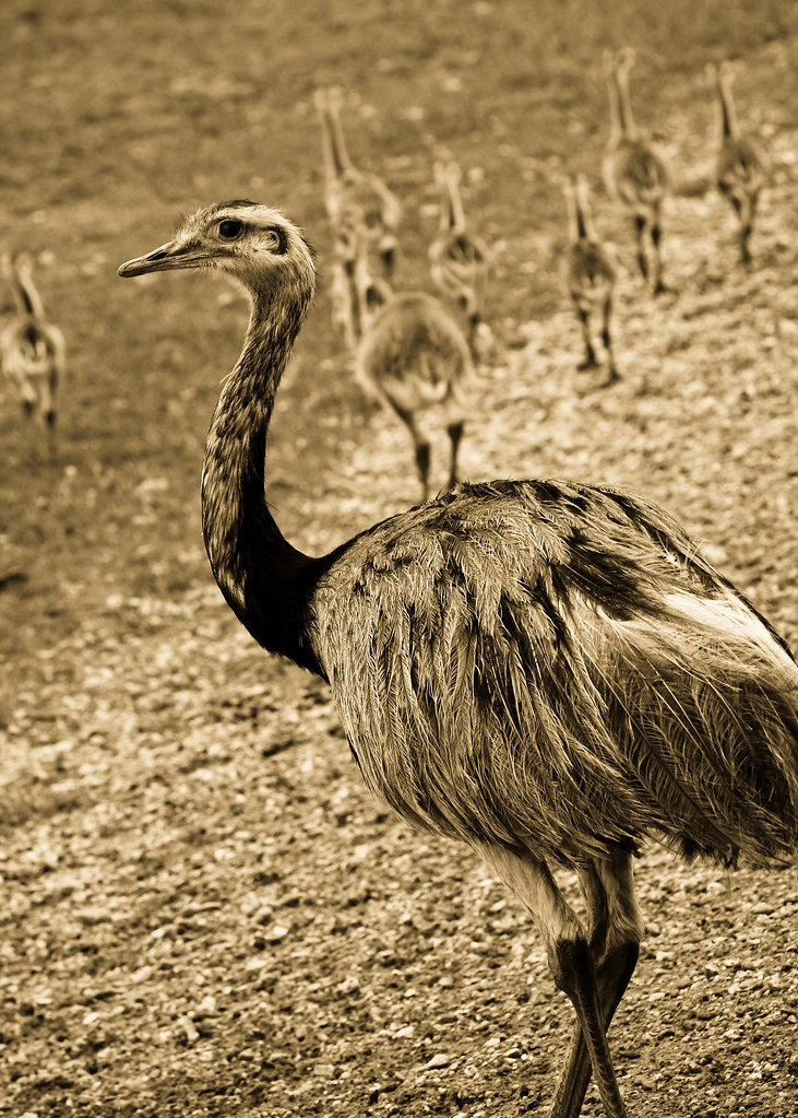
South American Rhea

Chain Chomp hat-front
At an intersection
DAZ56247 -1

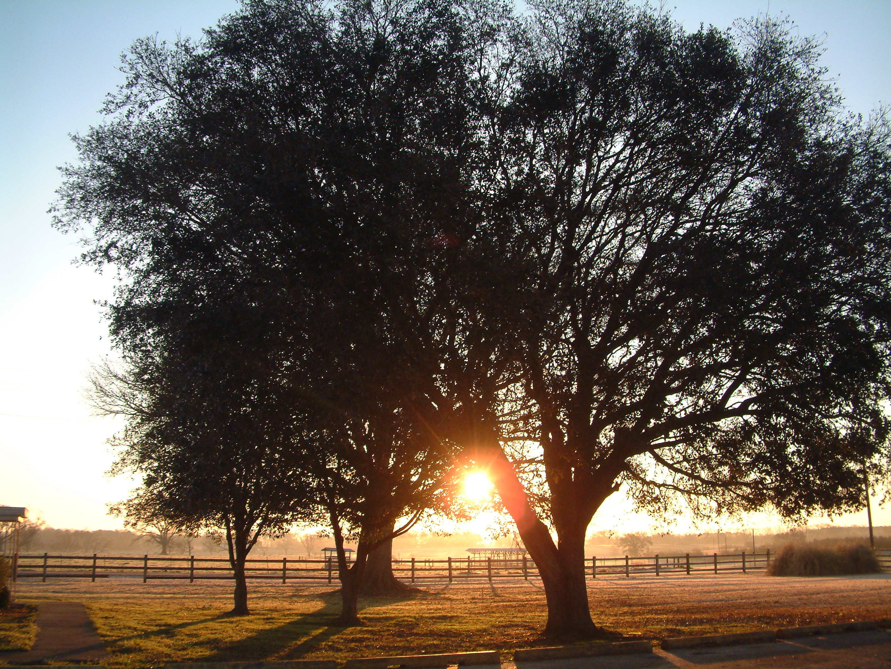
Louisiana morning
Topographic Map of Finch Rd, Franklinton, LA, USA
Find elevation by address:

Places near Finch Rd, Franklinton, LA, USA:
41504 Par Rd 131
17049 State Park Blvd
109 Lavinghouse Rd
107 Lavinghouse Rd
20243 Husser Rd
Bogue Chitto State Park
LA-, Franklinton, LA, USA
42587 La-10
Franklinton
2302 Williams St
47307 La-1072
22400 Rodeo Dr
Charles Mcdaniel Road
Washington Parish
25209 Par Rd 277
5, LA, USA
27043 Par Rd 316
27043 Par Rd 316
28555 La-25
25046 Thomas Nielson Rd
Recent Searches:
- Elevation of Corso Fratelli Cairoli, 35, Macerata MC, Italy
- Elevation of Tallevast Rd, Sarasota, FL, USA
- Elevation of 4th St E, Sonoma, CA, USA
- Elevation of Black Hollow Rd, Pennsdale, PA, USA
- Elevation of Oakland Ave, Williamsport, PA, USA
- Elevation of Pedrógão Grande, Portugal
- Elevation of Klee Dr, Martinsburg, WV, USA
- Elevation of Via Roma, Pieranica CR, Italy
- Elevation of Tavkvetili Mountain, Georgia
- Elevation of Hartfords Bluff Cir, Mt Pleasant, SC, USA