Elevation of Ferris Peak, Stikine Region, BC V0W, Canada
Location: Canada > British Columbia > Atlin >
Longitude: -137.39416
Latitude: 58.9916666
Elevation: 2778m / 9114feet
Barometric Pressure: 72KPa
Elevation Map:
Satellite Map:
Related Photos:
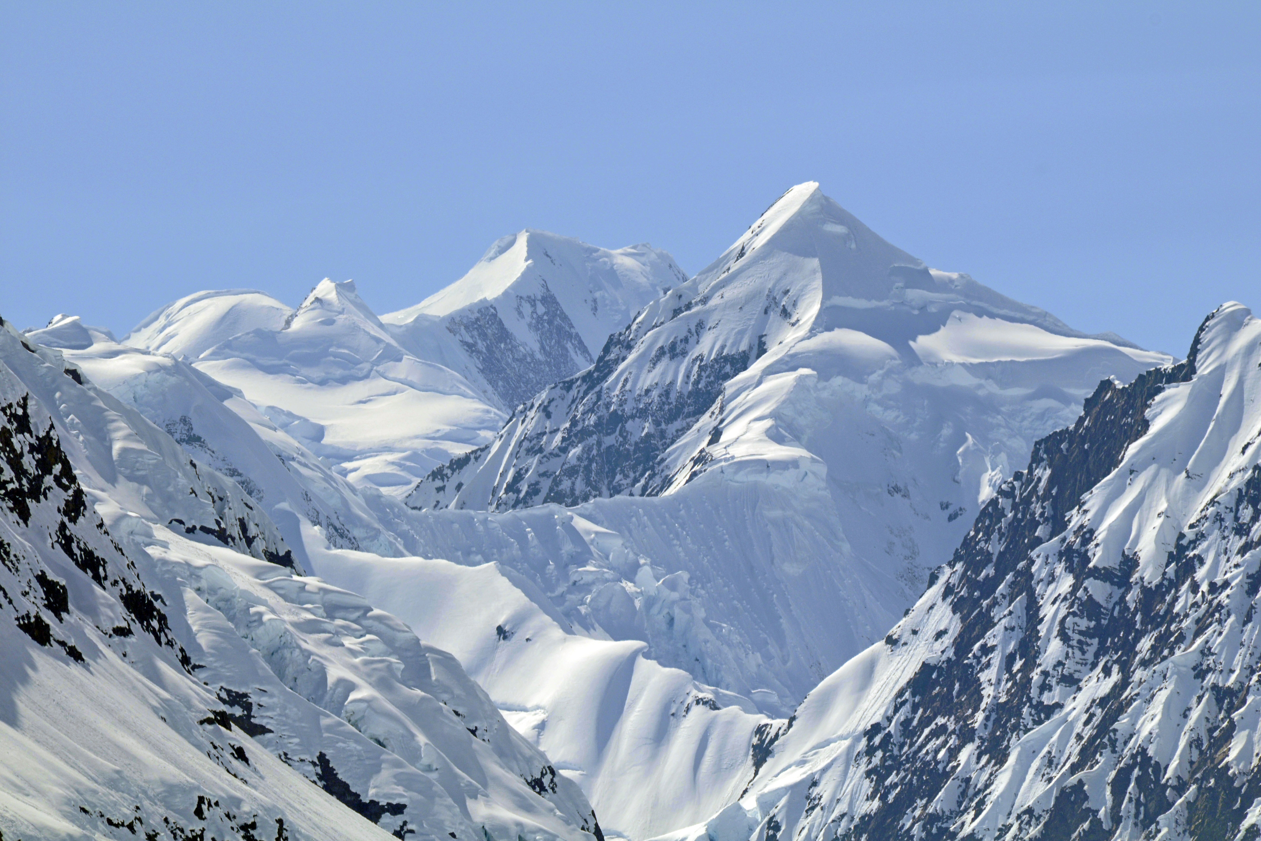
Snow capped mountains

margerie glacier
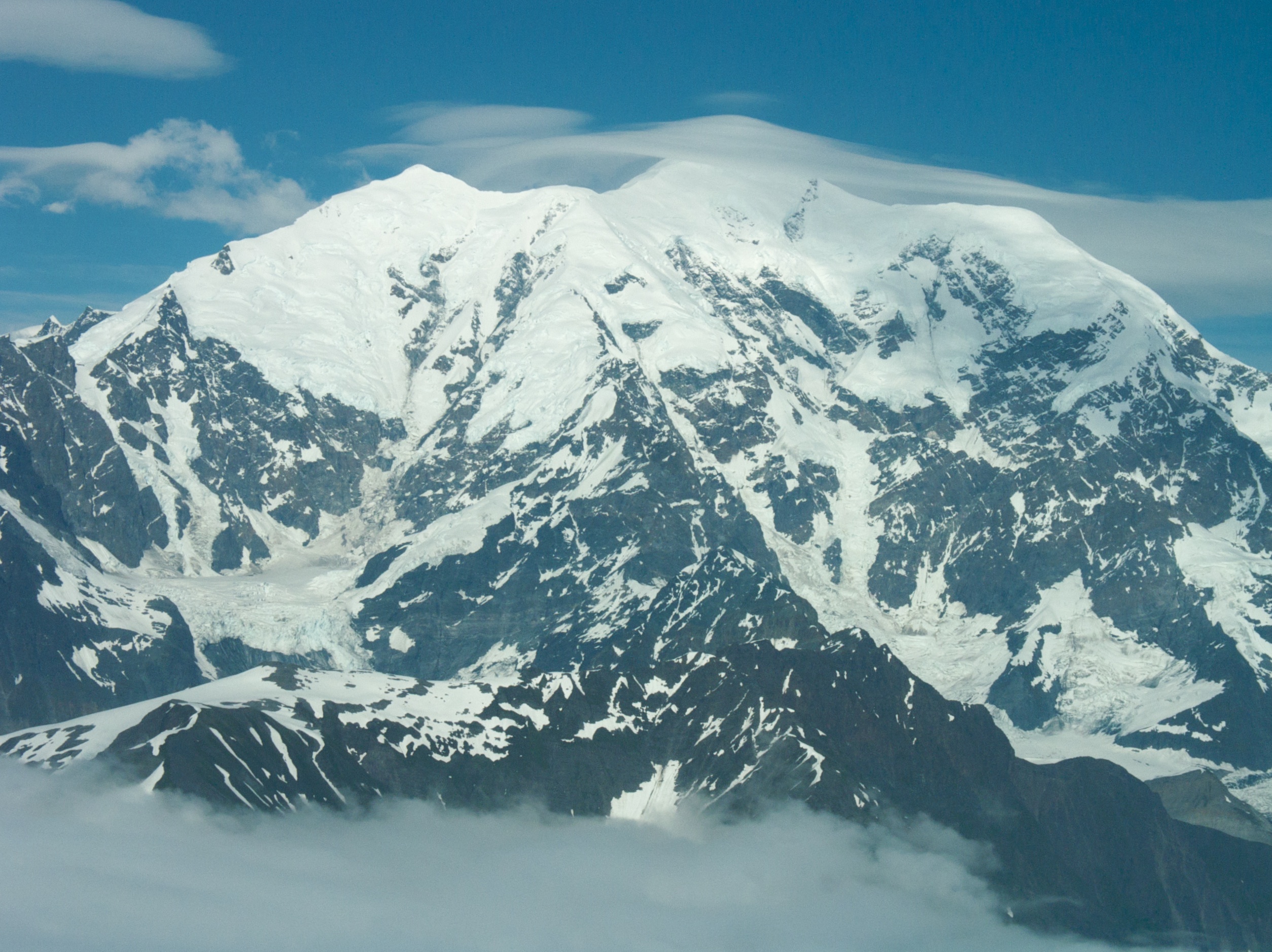
Mt Fairweather
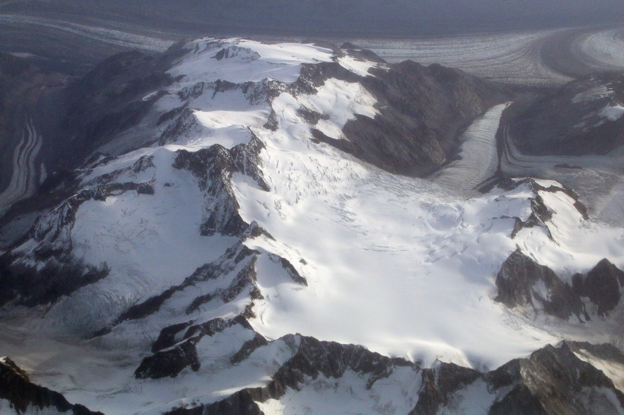
Canada/Alaska border
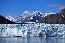
Margerie Glacier

Margerie Glacier
Topographic Map of Ferris Peak, Stikine Region, BC V0W, Canada
Find elevation by address:

Places near Ferris Peak, Stikine Region, BC V0W, Canada:
Mount Tlingit
Fairweather Ne3
Little Debbie
Mount Salisbury
Mount Watson
Mount Fairweather
Mount Sabine
Mount Crillon
East Crillon
Mount Bertha
Mount La Perouse
East La Perouse
Glacier Bay National Park And Preserve
Recent Searches:
- Elevation of Corso Fratelli Cairoli, 35, Macerata MC, Italy
- Elevation of Tallevast Rd, Sarasota, FL, USA
- Elevation of 4th St E, Sonoma, CA, USA
- Elevation of Black Hollow Rd, Pennsdale, PA, USA
- Elevation of Oakland Ave, Williamsport, PA, USA
- Elevation of Pedrógão Grande, Portugal
- Elevation of Klee Dr, Martinsburg, WV, USA
- Elevation of Via Roma, Pieranica CR, Italy
- Elevation of Tavkvetili Mountain, Georgia
- Elevation of Hartfords Bluff Cir, Mt Pleasant, SC, USA