Elevation of Ferris, IL, USA
Location: United States > Illinois > Hancock County > Rock Creek Township >
Longitude: -91.170422
Latitude: 40.4689327
Elevation: 209m / 686feet
Barometric Pressure: 99KPa
Elevation Map:
Satellite Map:
Related Photos:
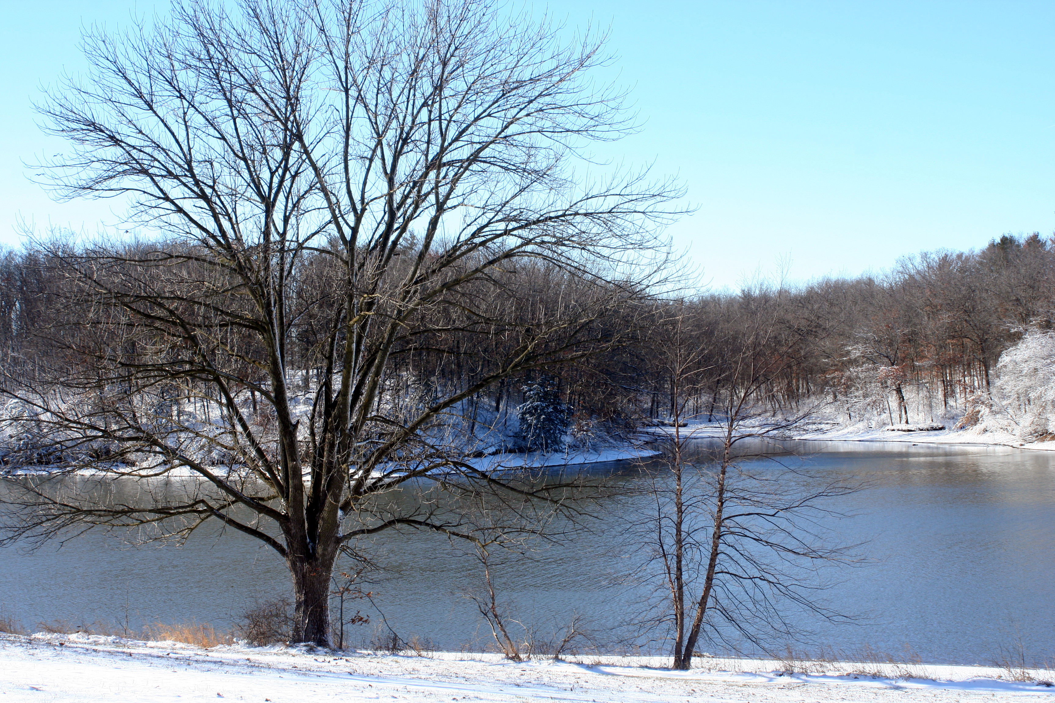
Park Road View
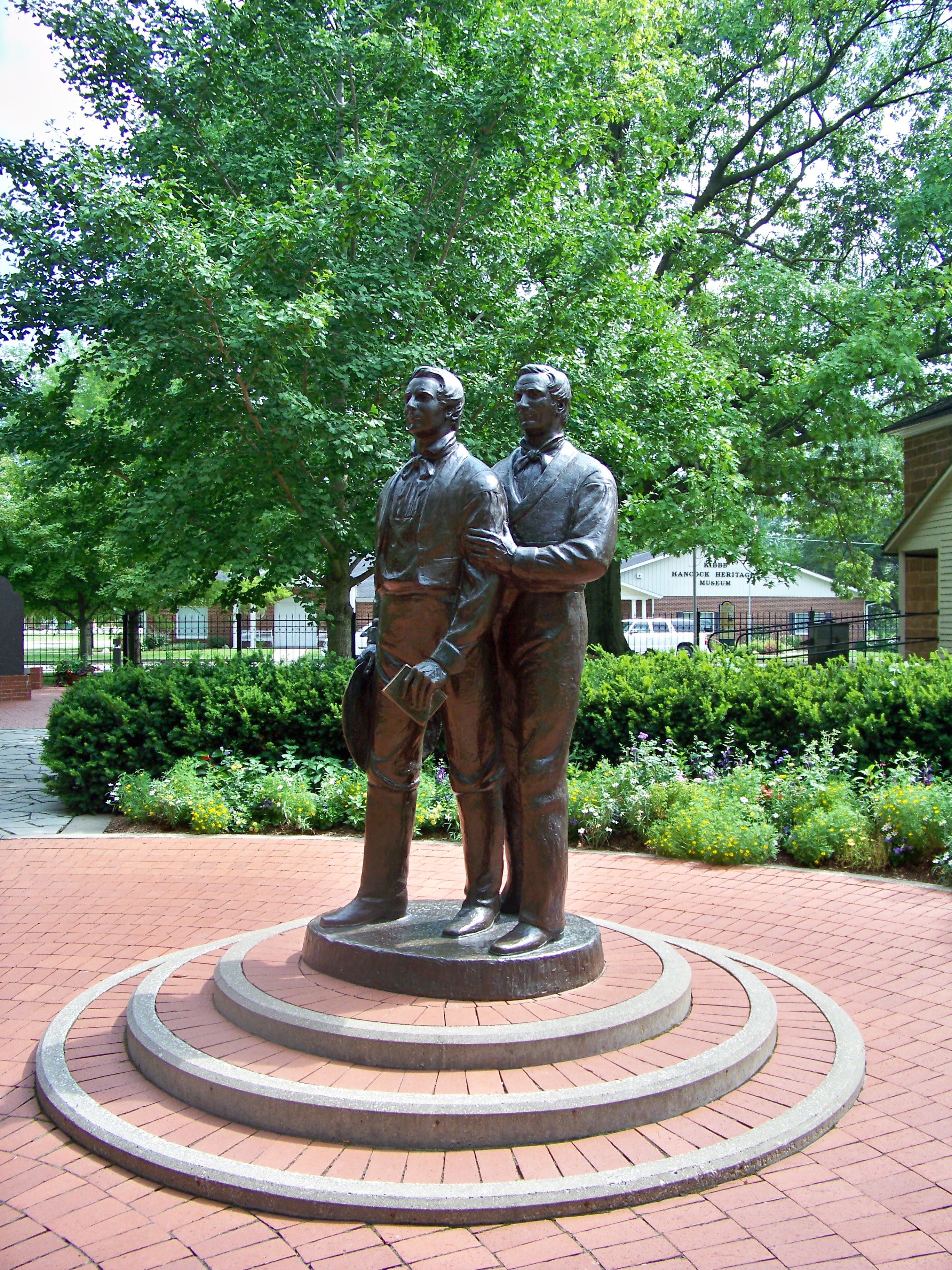
Joseph and Hiram Smith Statue Carthage Jail Hancock County Illinois

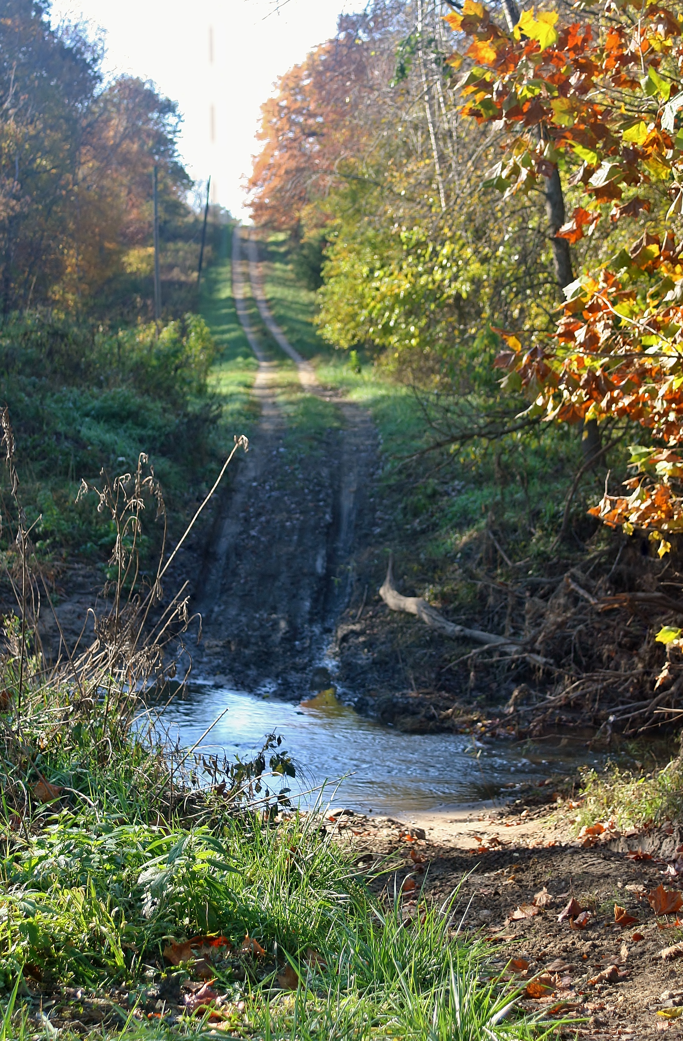
Iconic Fall View

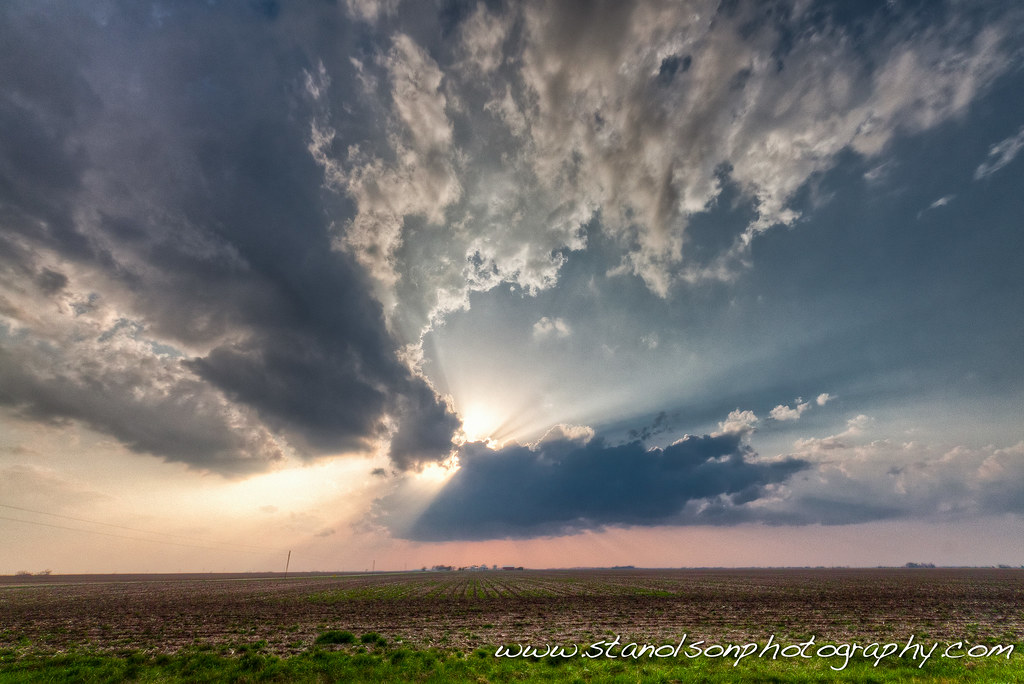
Sunset with Red Barns, Hancock County, IL

Sunset on a country road, Hancock County, IL
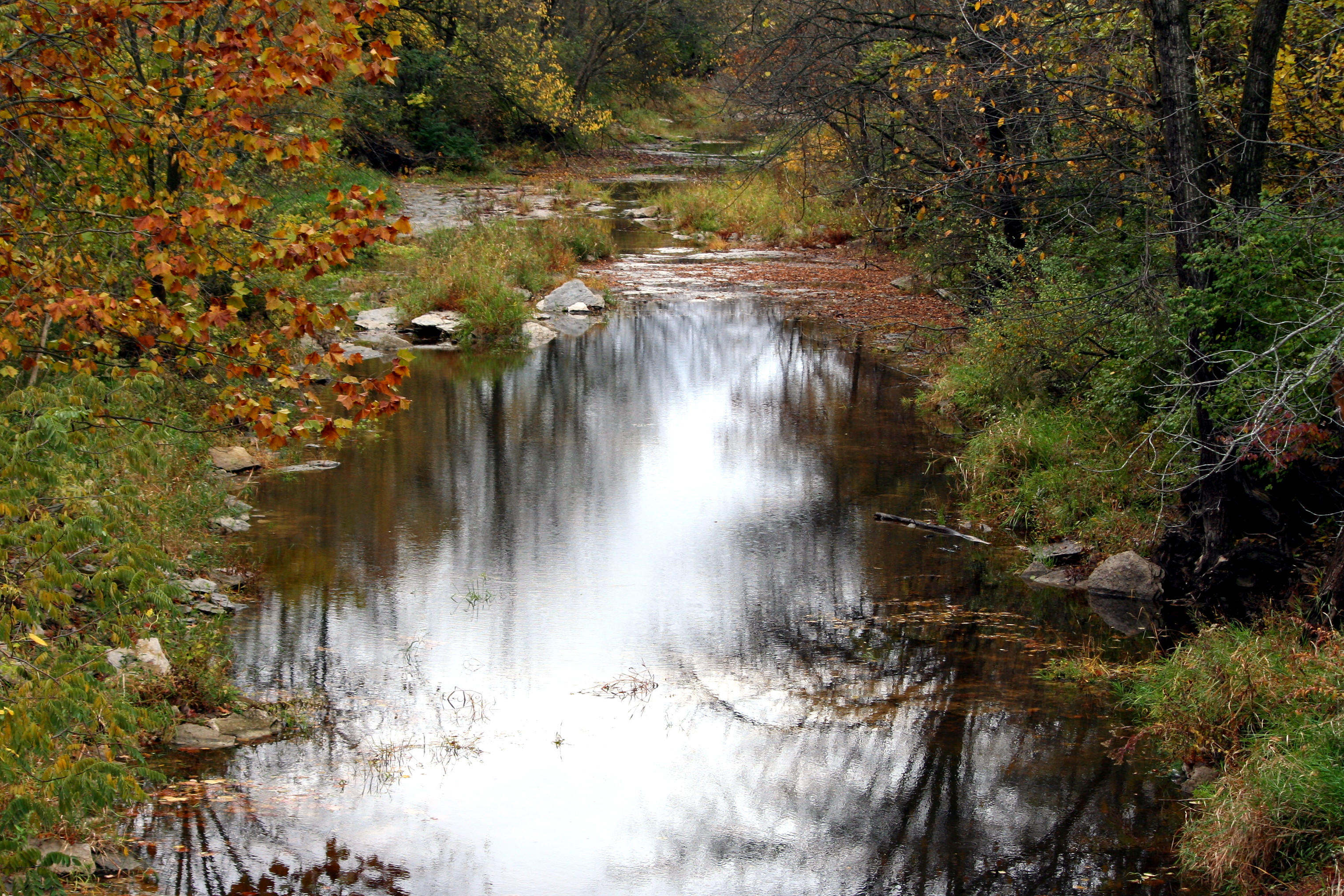
Hamilton Creek
IMG_1482_3_4.jpg
No Go
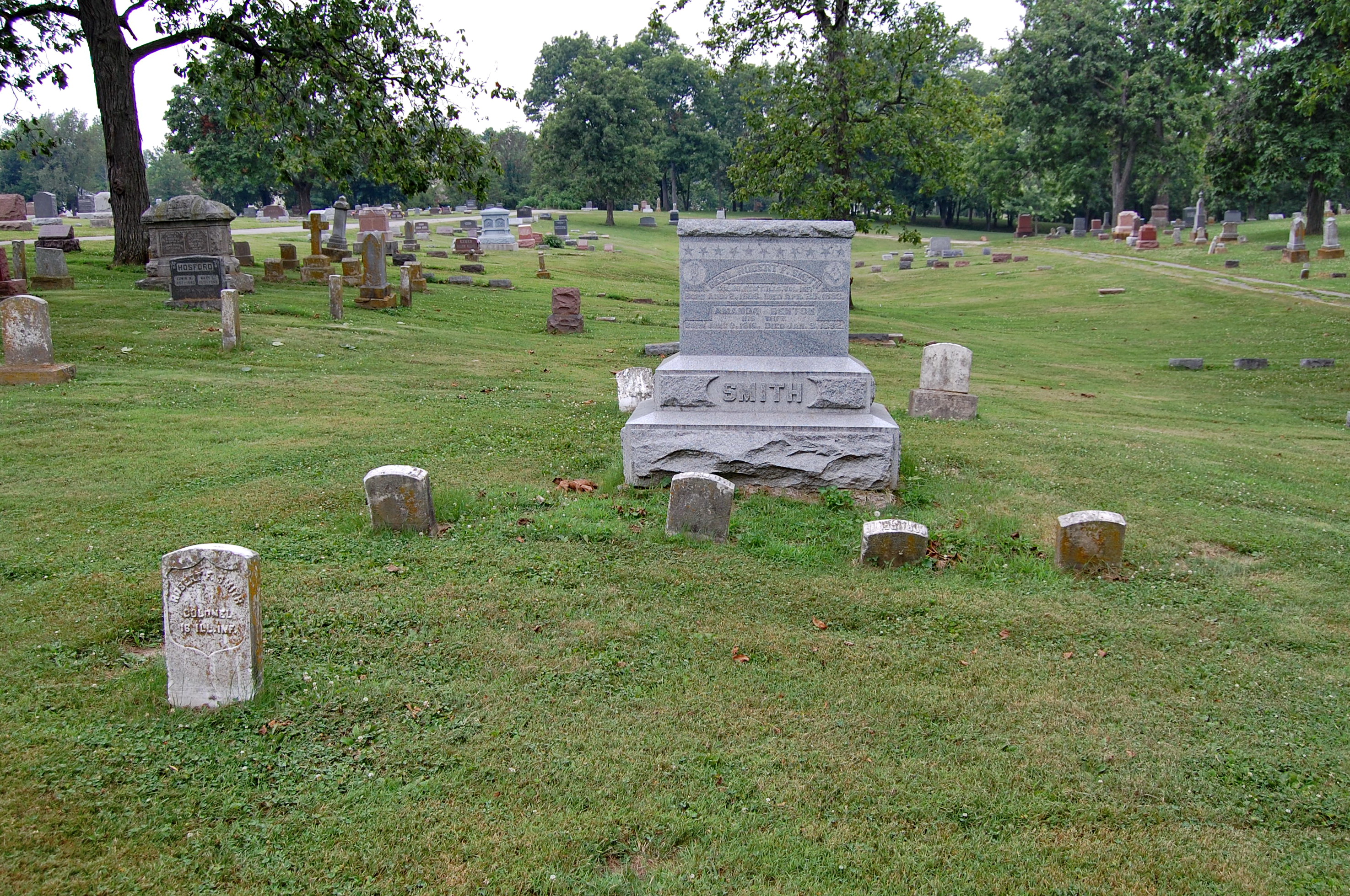
Brevet Brigadier General Robert F Smith Grave

Lovely sunrise this AM #carthageillinois
Topographic Map of Ferris, IL, USA
Find elevation by address:

Places in Ferris, IL, USA:
Places near Ferris, IL, USA:
Walnut St, Carthage, IL, USA
Rock Creek Township
N Madison St, Carthage, IL, USA
Carthage
Hancock County
Carthage Township
Bentley
Bentley Dr, Carthage, IL, USA
15 A N County Rd, Basco, IL, USA
Basco
Basco
Basco
Basco
Bear Creek Township
Bear Creek Township
Bear Creek Township
Bear Creek Township
Montebello Township
Pontoosuc
Harmony Township
Recent Searches:
- Elevation of Corso Fratelli Cairoli, 35, Macerata MC, Italy
- Elevation of Tallevast Rd, Sarasota, FL, USA
- Elevation of 4th St E, Sonoma, CA, USA
- Elevation of Black Hollow Rd, Pennsdale, PA, USA
- Elevation of Oakland Ave, Williamsport, PA, USA
- Elevation of Pedrógão Grande, Portugal
- Elevation of Klee Dr, Martinsburg, WV, USA
- Elevation of Via Roma, Pieranica CR, Italy
- Elevation of Tavkvetili Mountain, Georgia
- Elevation of Hartfords Bluff Cir, Mt Pleasant, SC, USA