Elevation of Farmstead Ln, State College, PA, USA
Location: United States > Pennsylvania > Centre County > Patton Township > Park Forest Village >
Longitude: -77.904423
Latitude: 40.793219
Elevation: 379m / 1243feet
Barometric Pressure: 97KPa
Elevation Map:
Satellite Map:
Related Photos:

Indian Wells Overlook - Explored!
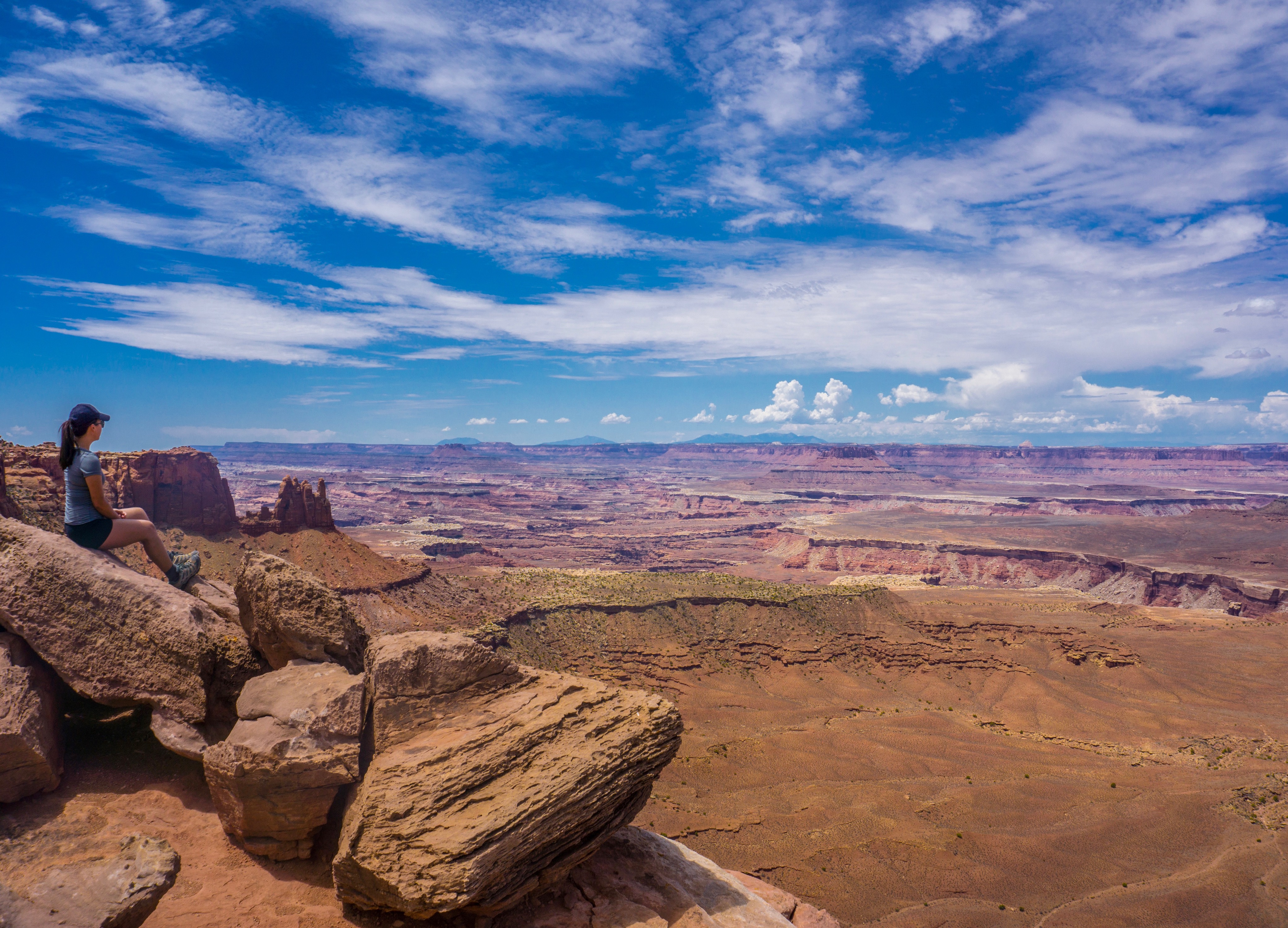
Grand View Point

Arches Scenic Drive

Trees on fire
***

Gratuitious Flower Macro

Jun 10, 2012
Lone Tree

Evening stroll

Road trip summer 2017

yesterday, at the break [explored!]
Park 4 HDR

Ice in the trees

Early Sky Lava

終於等到有雲的天空

Dandelion and oak
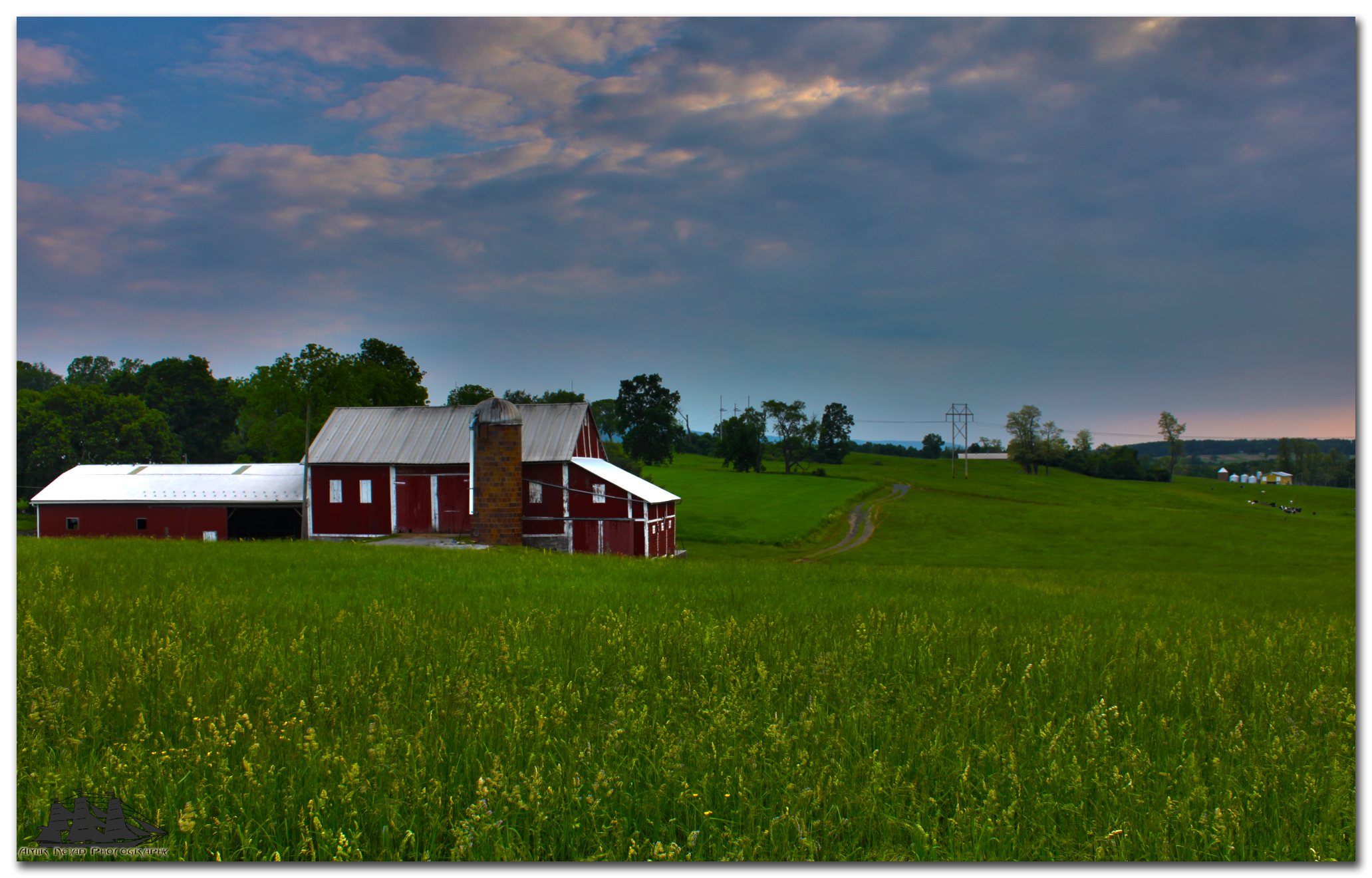
Barn HDR

Arches Scenic Drive

Summer Light

Farm # 3

The misty woods
Topographic Map of Farmstead Ln, State College, PA, USA
Find elevation by address:

Places near Farmstead Ln, State College, PA, USA:
1920 Princeton Dr
2379 Nantucket Cir
425 Canterbury Dr
560 Westgate Dr
917 W Aaron Dr
475 Westgate Dr
1375 Megan Dr
Park Crest Terrace Apartments
1400 Martin St
Park Forest Village
2144 N Oak Ln
107 W Aaron Dr
239 Amblewood Way
467 Martin Terrace
550 Ridge Ave
646 Oakwood Ave
250 Toftrees Ave
250 Toftrees Ave
628 Oakwood Ave
130 Ridge Ave
Recent Searches:
- Elevation of Corso Fratelli Cairoli, 35, Macerata MC, Italy
- Elevation of Tallevast Rd, Sarasota, FL, USA
- Elevation of 4th St E, Sonoma, CA, USA
- Elevation of Black Hollow Rd, Pennsdale, PA, USA
- Elevation of Oakland Ave, Williamsport, PA, USA
- Elevation of Pedrógão Grande, Portugal
- Elevation of Klee Dr, Martinsburg, WV, USA
- Elevation of Via Roma, Pieranica CR, Italy
- Elevation of Tavkvetili Mountain, Georgia
- Elevation of Hartfords Bluff Cir, Mt Pleasant, SC, USA