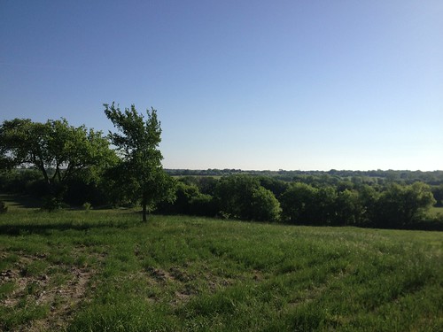
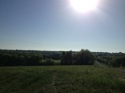
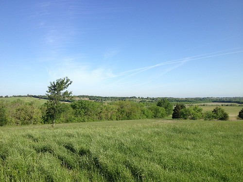
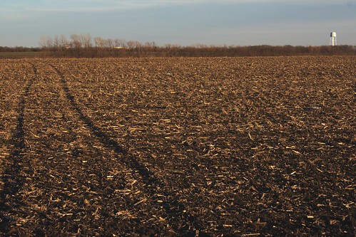
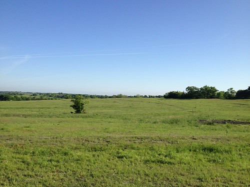
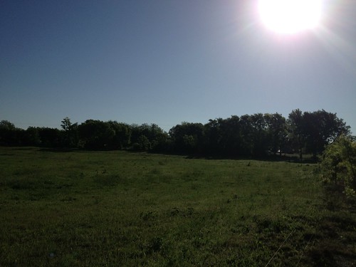
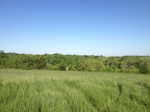
Elevation of Farmington Rd, Gunter, TX, USA

Location: United States > Texas > Grayson County > Gunter >

Longitude: -96.644672

Latitude: 33.468925

Elevation: 238m / 781feet

Barometric Pressure: 98KPa

Elevation Map:

elevation map of Farmington Rd, Gunter, TX, USA

Satellite Map:

Satellite map of Farmington Rd, Gunter, TX, USA

Related Photos:

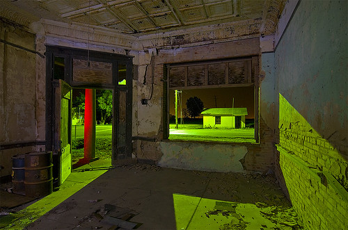
abandoned night texas bank dorchester decayed
Red Column
abandoned night texas bank dorchester
Dorchester United
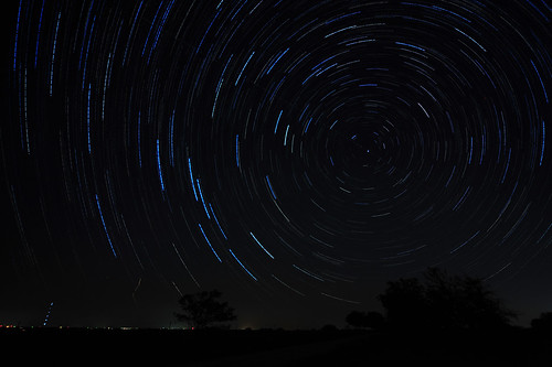
30 star nikon message angle north wide trails sigma images pole hidden second 1224mm cosmos stacked startrails d700
Is there a Message Hidden within the Cosmos?
abandoned night texas gas pump dorchester
'Tired' Pumps
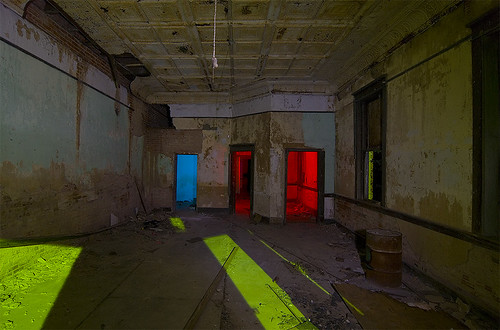
abandoned night texas bank dorchester
RGB 8.0
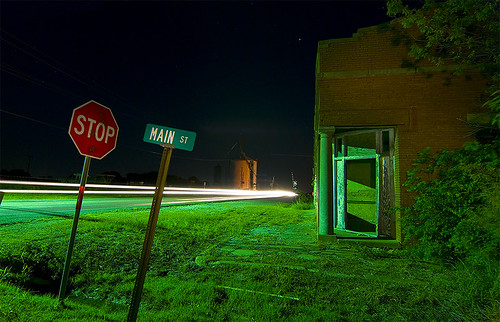
abandoned night town texas ghost dorchester
Stop Main St
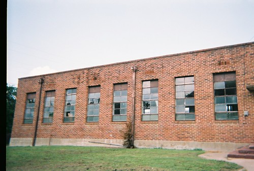
old school windows roof demolish vintage outdoors texas decay country ruin oldbuildings oldschool highschool historical cafeteria schoolhouse smalltown remodeling vanalstyne texasschools countryschools
A view of the windows of the old Van Alstyne highschool cafeteria.
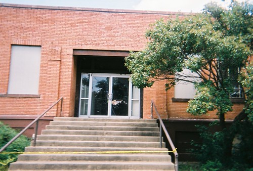
old school windows roof demolish vintage outdoors texas decay country ruin oldbuildings oldschool highschool historical schoolhouse floods smalltown remodeling vanalstyne texasschools countryschools
Old Van Alstyne high school, front entrance (1912-2000)
old school windows roof demolish vintage texas decay country ruin oldbuildings oldschool highschool marker historical schoolhouse smalltown remodeling vanalstyne texasschools countryschools
Van Alstyne high school 1912-2000
school roof vintage texas ruin oldbuildings oldschool highschool schoolhouse remodeling vanalstyne
old Van Alstyne, Tx highschool (1912-2000)
square lofi squareformat iphoneography instagramapp uploaded:by=instagram foursquare:venue=4c46534a9be820a16e8e7993
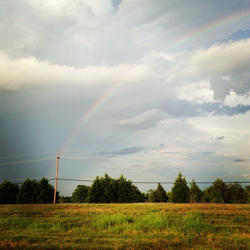
#rainbow
square squareformat iphoneography instagramapp uploaded:by=instagram
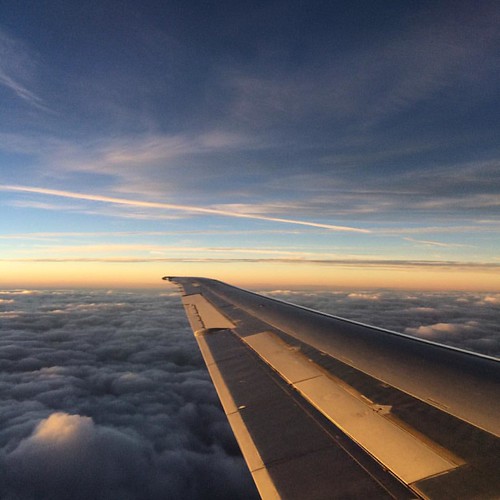
Mid flight #sky #texas #airplane
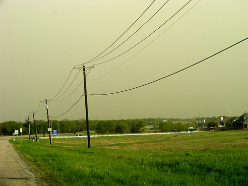
wild sun dark fort smoke smokey april ft worth fires clowds sut ashey wildfires
Dark Sky
chris pool chrisshouse waterproofcamera phuzzy396
491731-R1-03-2 02 s
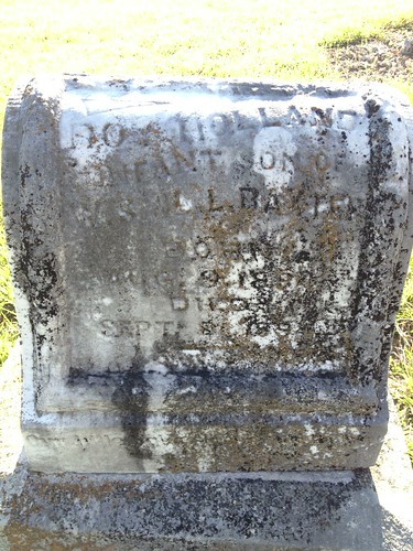
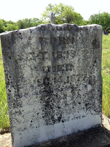
cemetery grave headstone gravestone gravemarker whitemound whitemoundcemetery
Whitemound Cemetery & Whitemound Historical Marker
cemetery grave headstone gravestone gravemarker whitemound whitemoundcemetery
Whitemound Cemetery & Whitemound Historical Marker
cemetery grave headstone gravestone gravemarker whitemound whitemoundcemetery
Whitemound Cemetery & Whitemound Historical Marker
cemetery grave headstone gravestone gravemarker whitemound whitemoundcemetery
Whitemound Cemetery & Whitemound Historical Marker
midwest texas watertower lonely farmersfield annatx weatherjournal
Drive Away, Miss the Clouds
square squareformat hudson iphoneography instagramapp uploaded:by=instagram foursquare:venue=4e516c44fa7626401ec5c19e
Beautiful sunrise on my way to work. L #anotherdayanotherdollar #beautiful #sunrise
trees nature field birds landscape photography texas textures ie redbarn
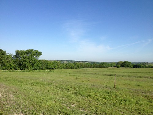
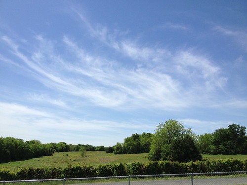
Texas Landscape
cemetery grave headstone gravestone gravemarker whitemound whitemoundcemetery
Whitemound Cemetery & Whitemound Historical Marker
cemetery grave headstone gravestone gravemarker whitemound whitemoundcemetery
Whitemound Cemetery & Whitemound Historical Marker
cemetery grave headstone gravestone gravemarker whitemound whitemoundcemetery
Whitemound Cemetery & Whitemound Historical Marker
cemetery grave headstone gravestone gravemarker whitemound whitemoundcemetery
Whitemound Cemetery & Whitemound Historical Marker
cemetery grave headstone gravestone gravemarker whitemound whitemoundcemetery
Whitemound Cemetery & Whitemound Historical Marker
cemetery grave headstone gravestone gravemarker whitemound whitemoundcemetery
Whitemound Cemetery & Whitemound Historical Marker
cemetery grave headstone gravestone gravemarker whitemound whitemoundcemetery
Whitemound Cemetery & Whitemound Historical Marker