Elevation of Farmington, MO, USA
Location: United States > Missouri > St. Francois County > St. Francois Township >
Longitude: -90.421789
Latitude: 37.7808846
Elevation: 278m / 912feet
Barometric Pressure: 98KPa
Elevation Map:
Satellite Map:
Related Photos:

night sky
View from the office today... Not a bad day to throw some lead down-range (is there ever a bad day??). Big shout out to Dave & Zak at @asymmetricsolutions for providing another great shooting experience! #sunsoutgunsout #tacticalshooting #glock19
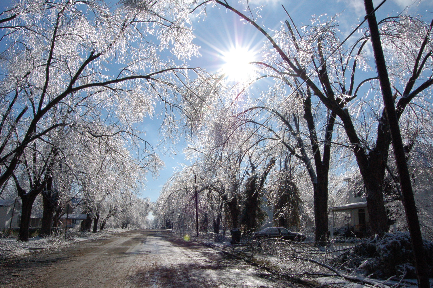
our street
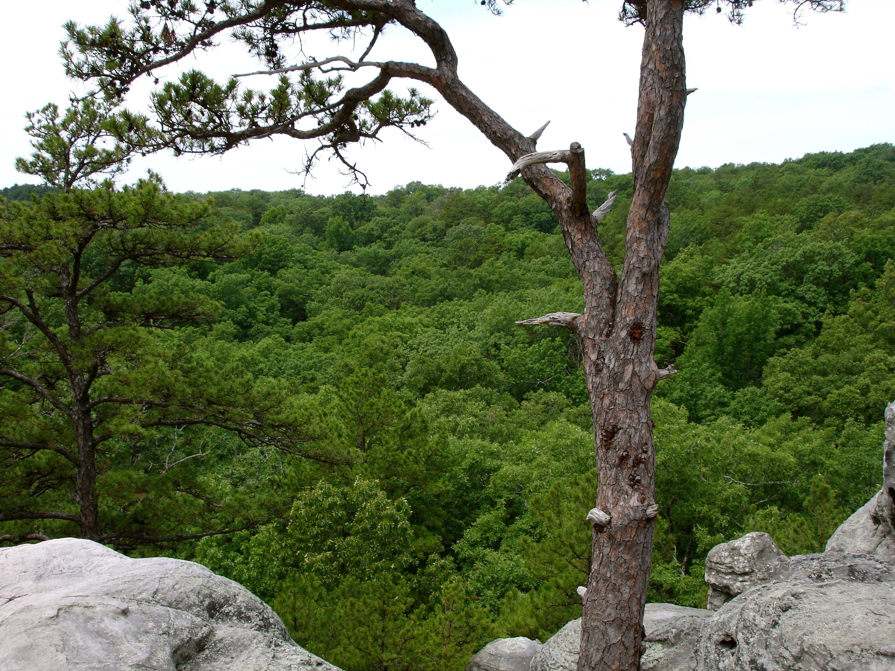
The View from Dome Rock
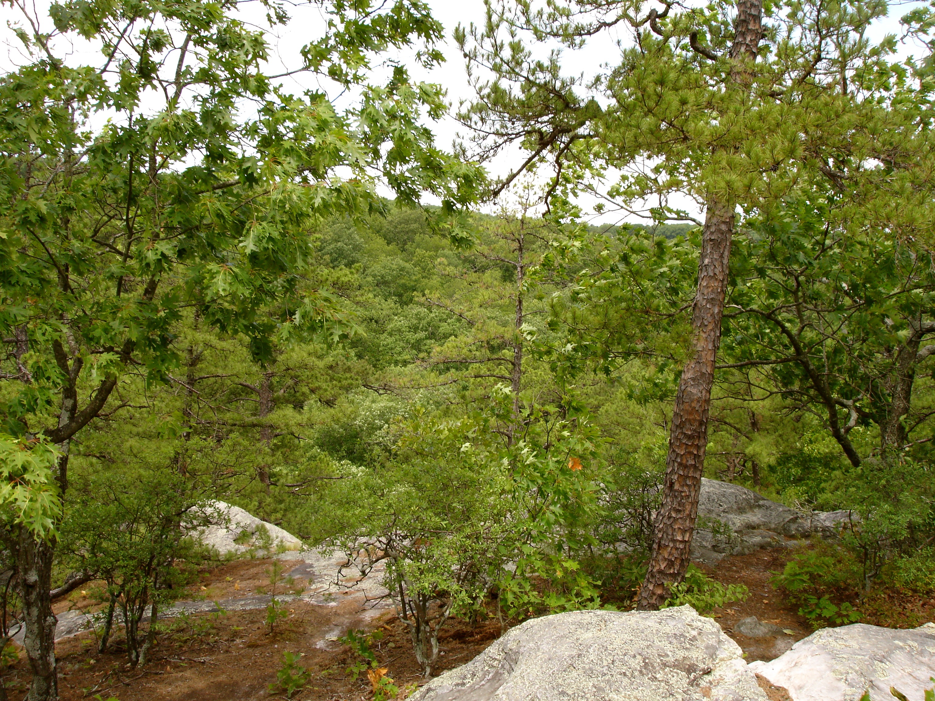
The View From Dome Rock

The View From Dome Rock
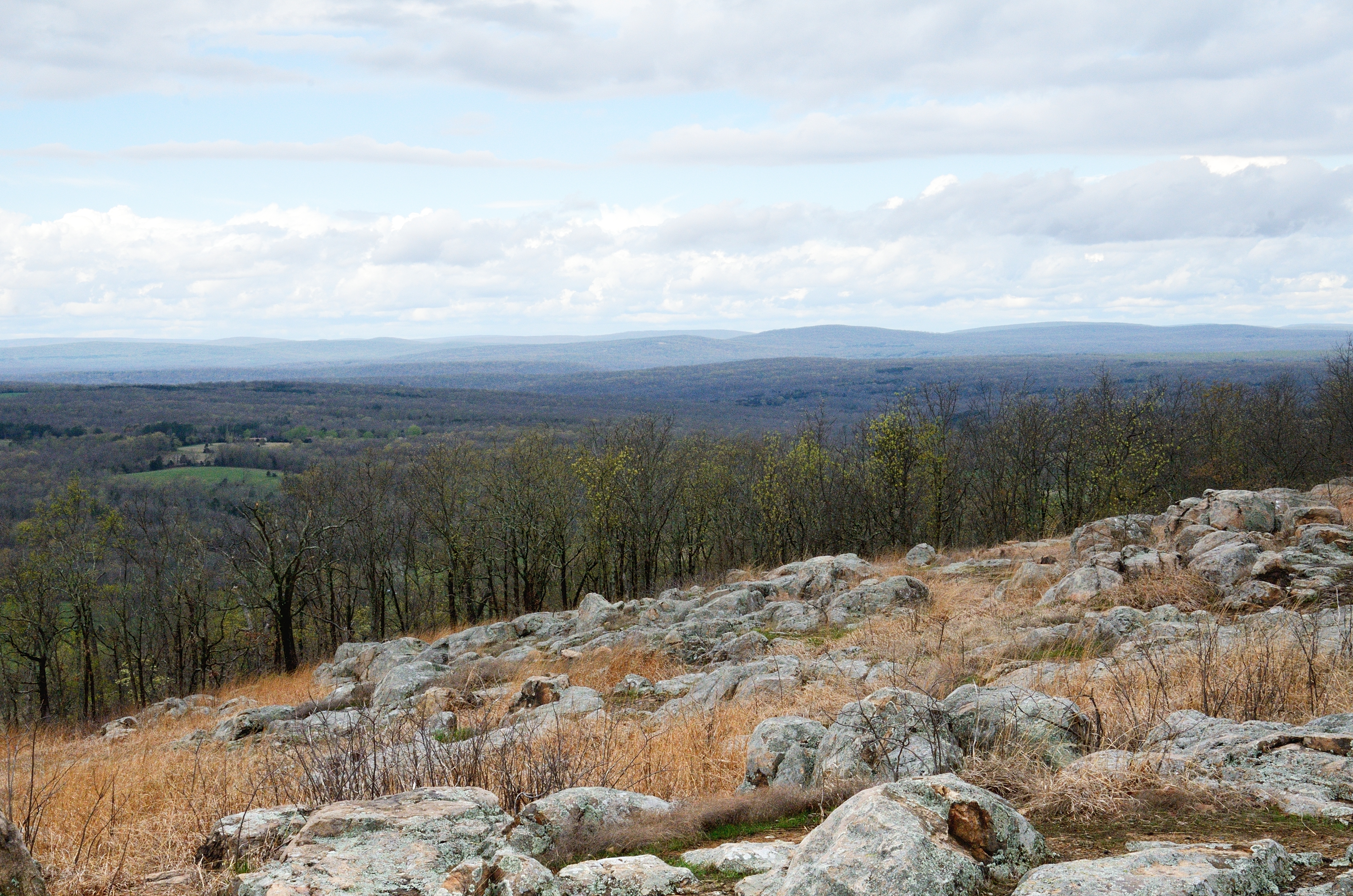
View from Knob Lick Towersite, St Francois County, Missouri

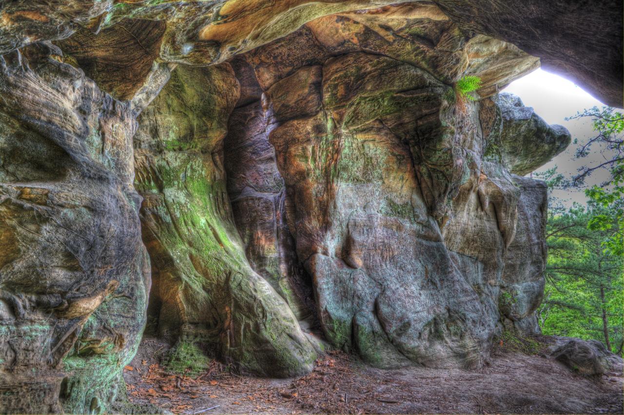
The Slots
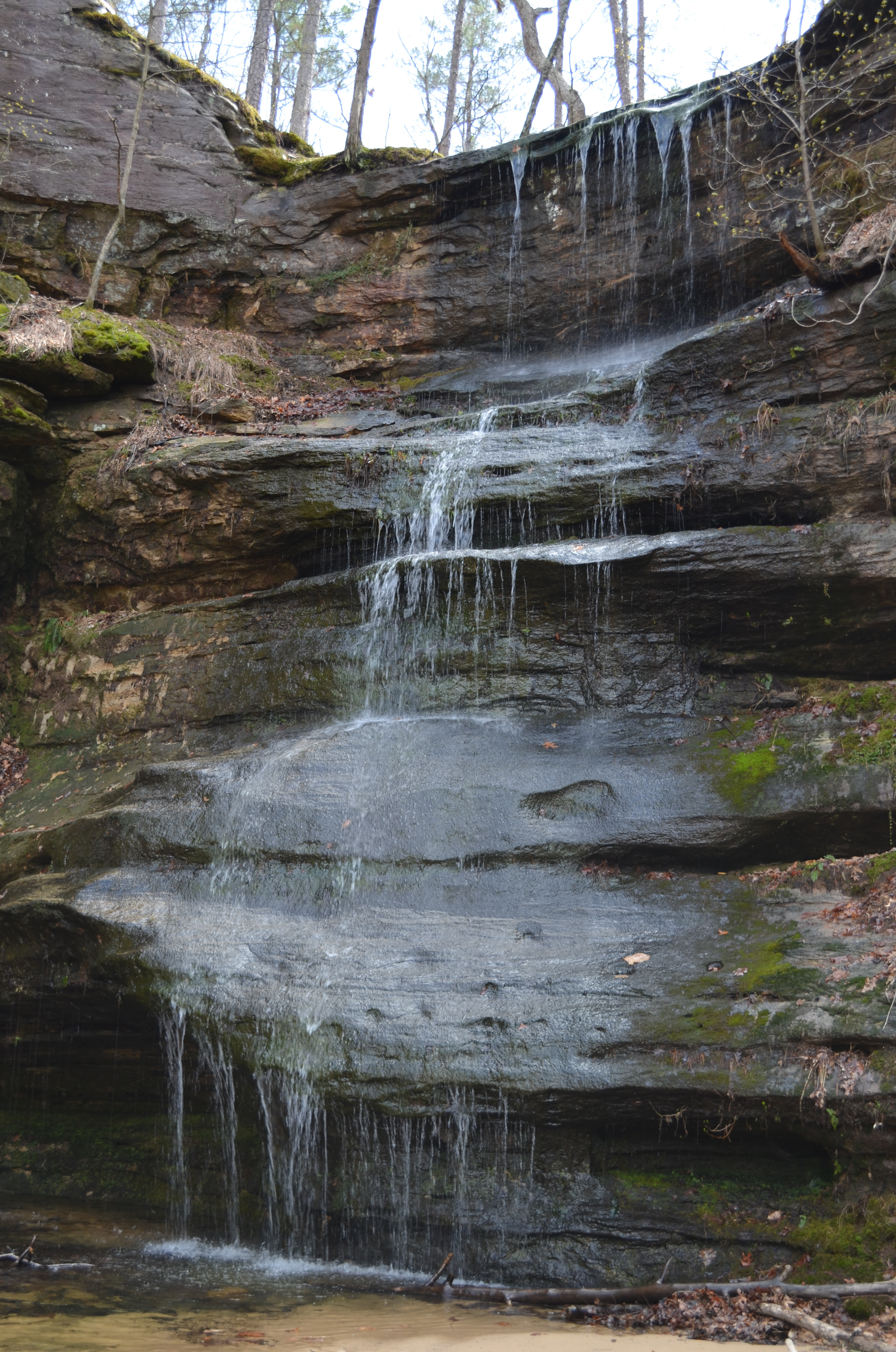
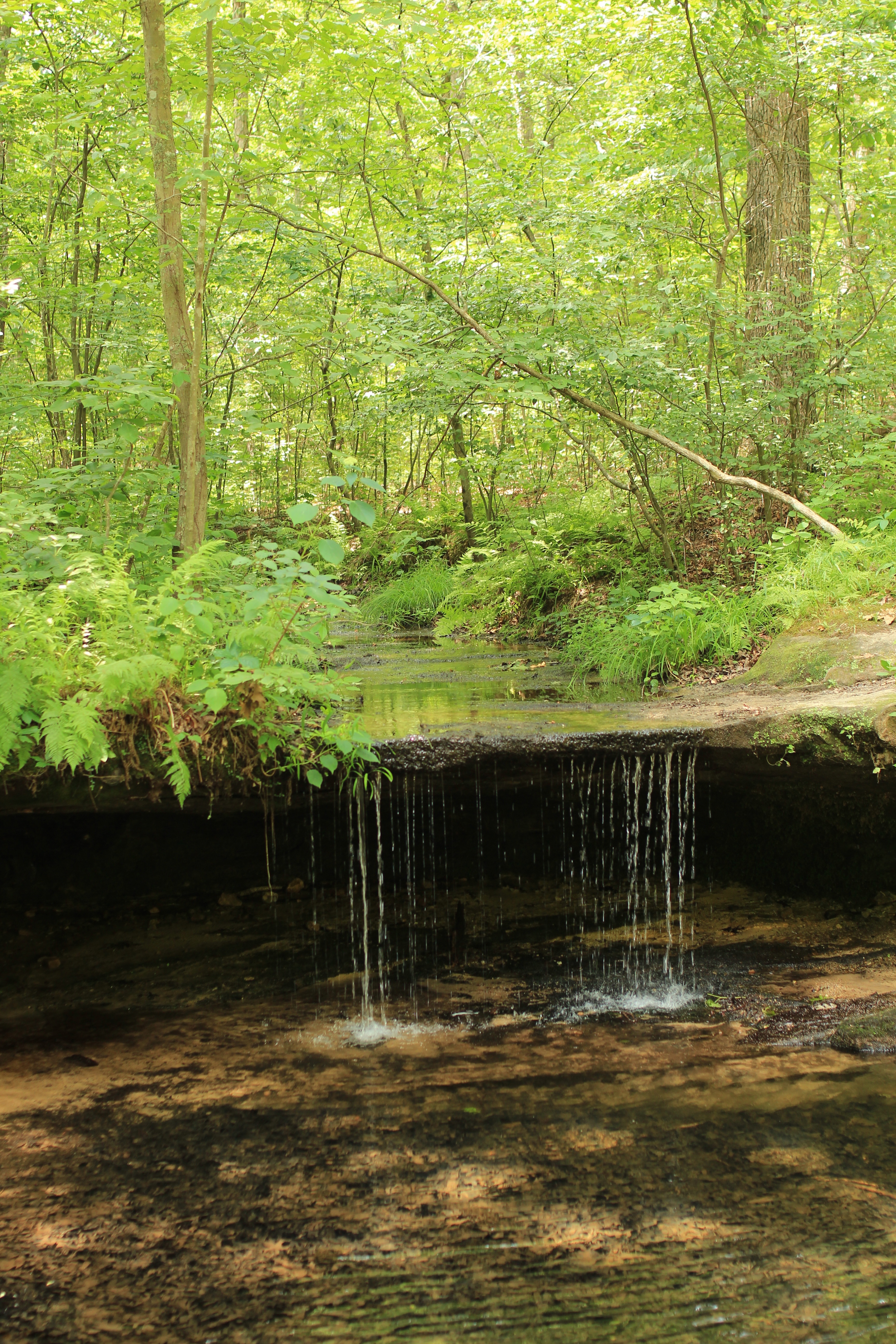
Hickory Canyon Waterfall

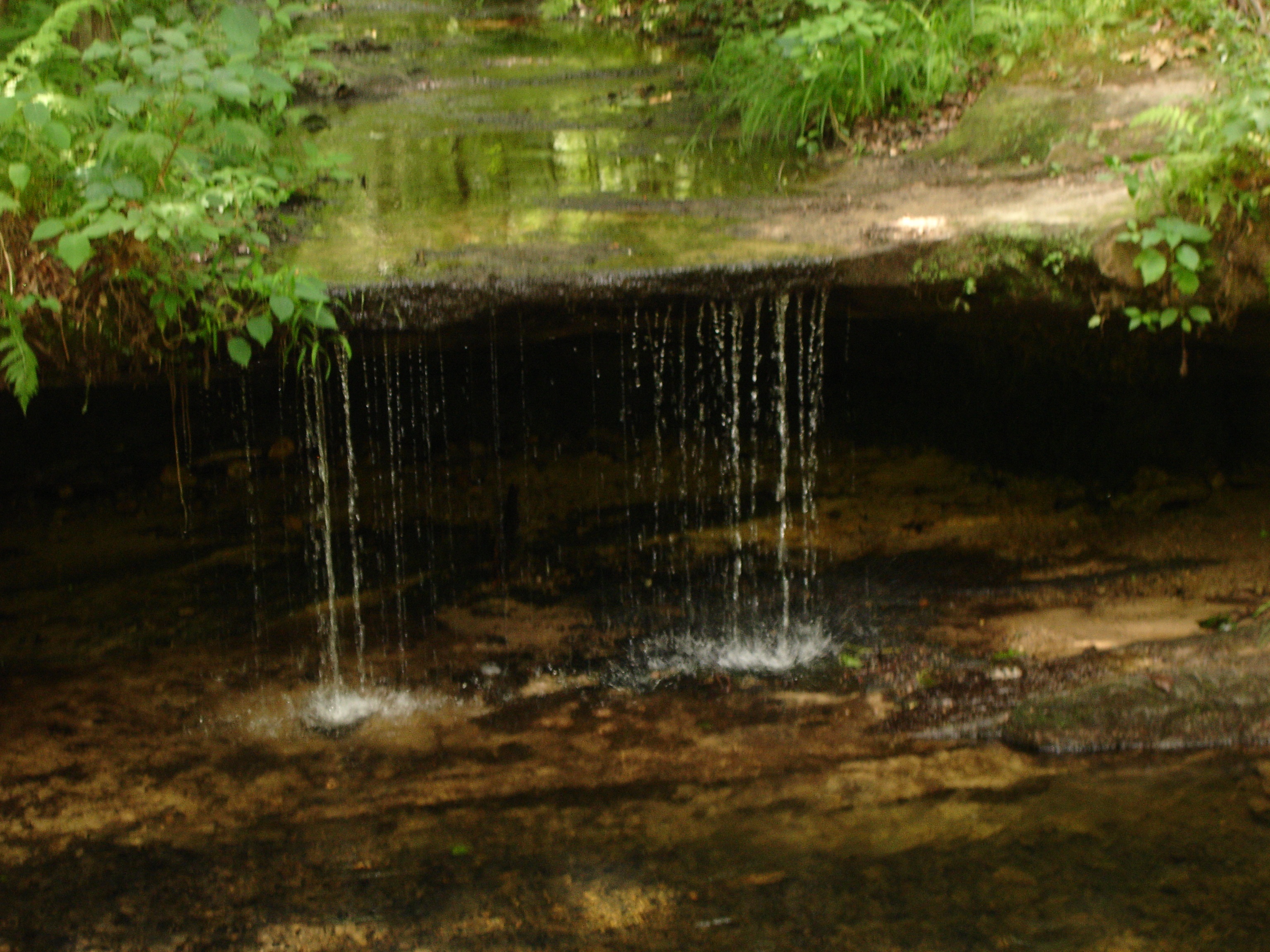
Waterfall on Pickle Creek
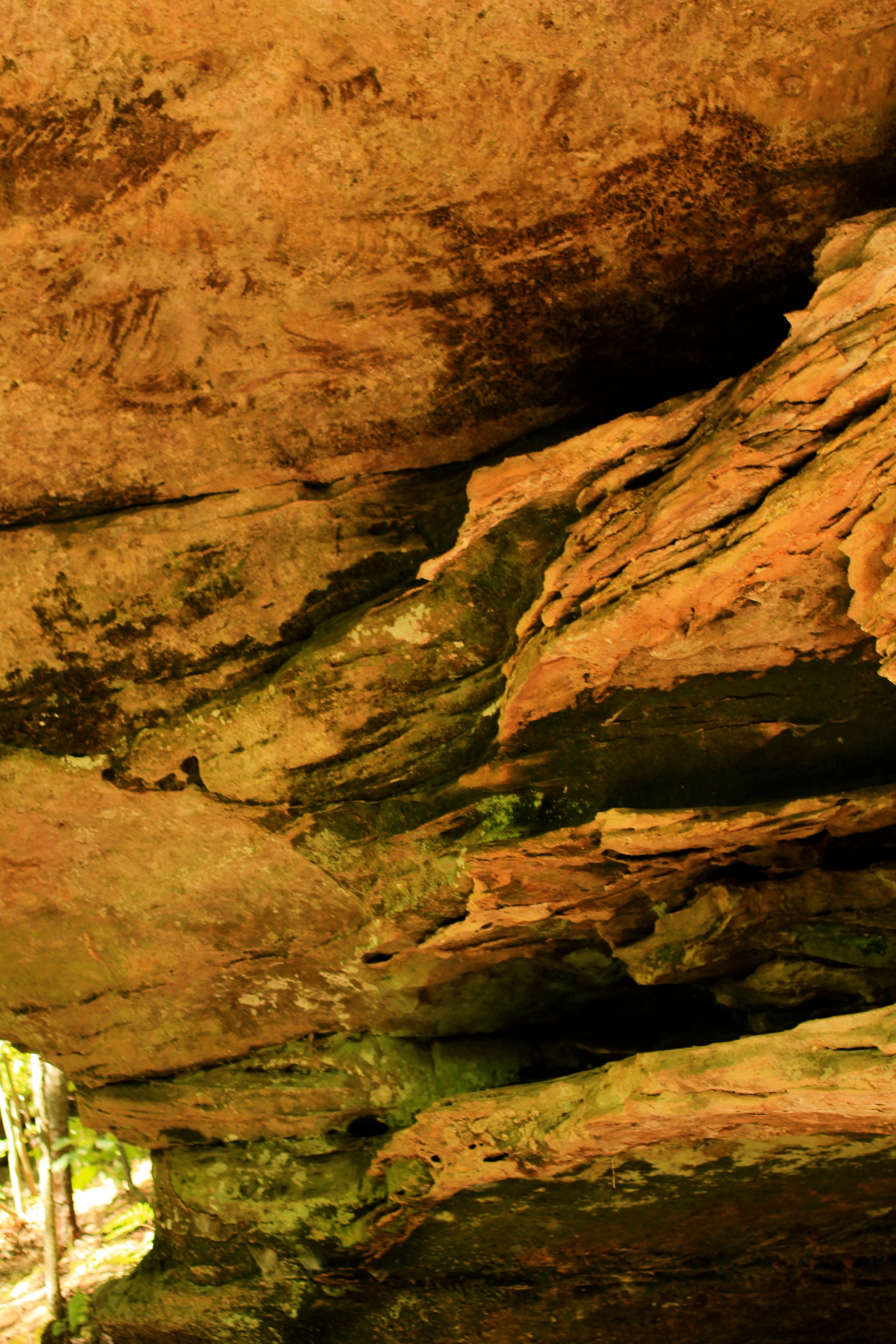
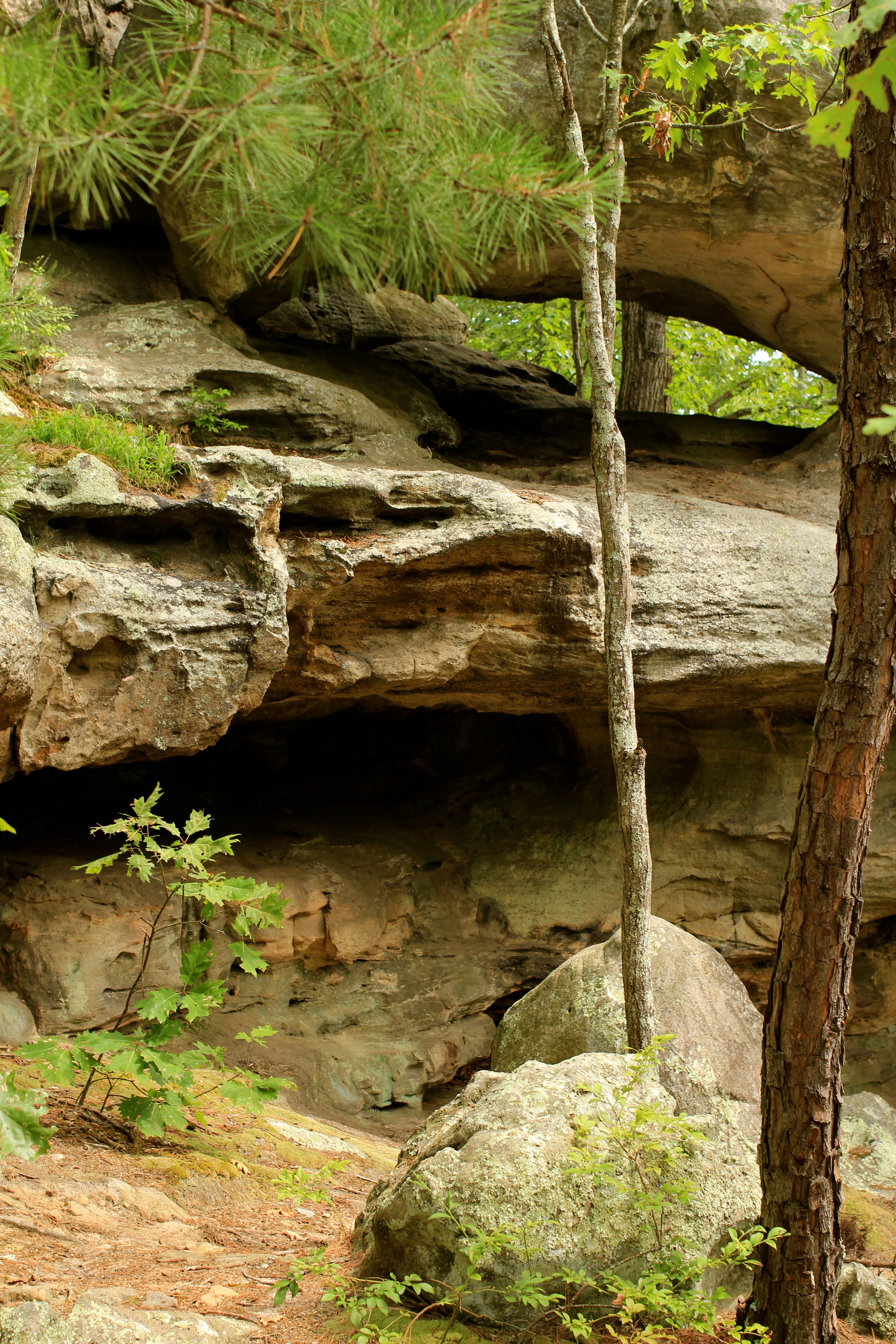
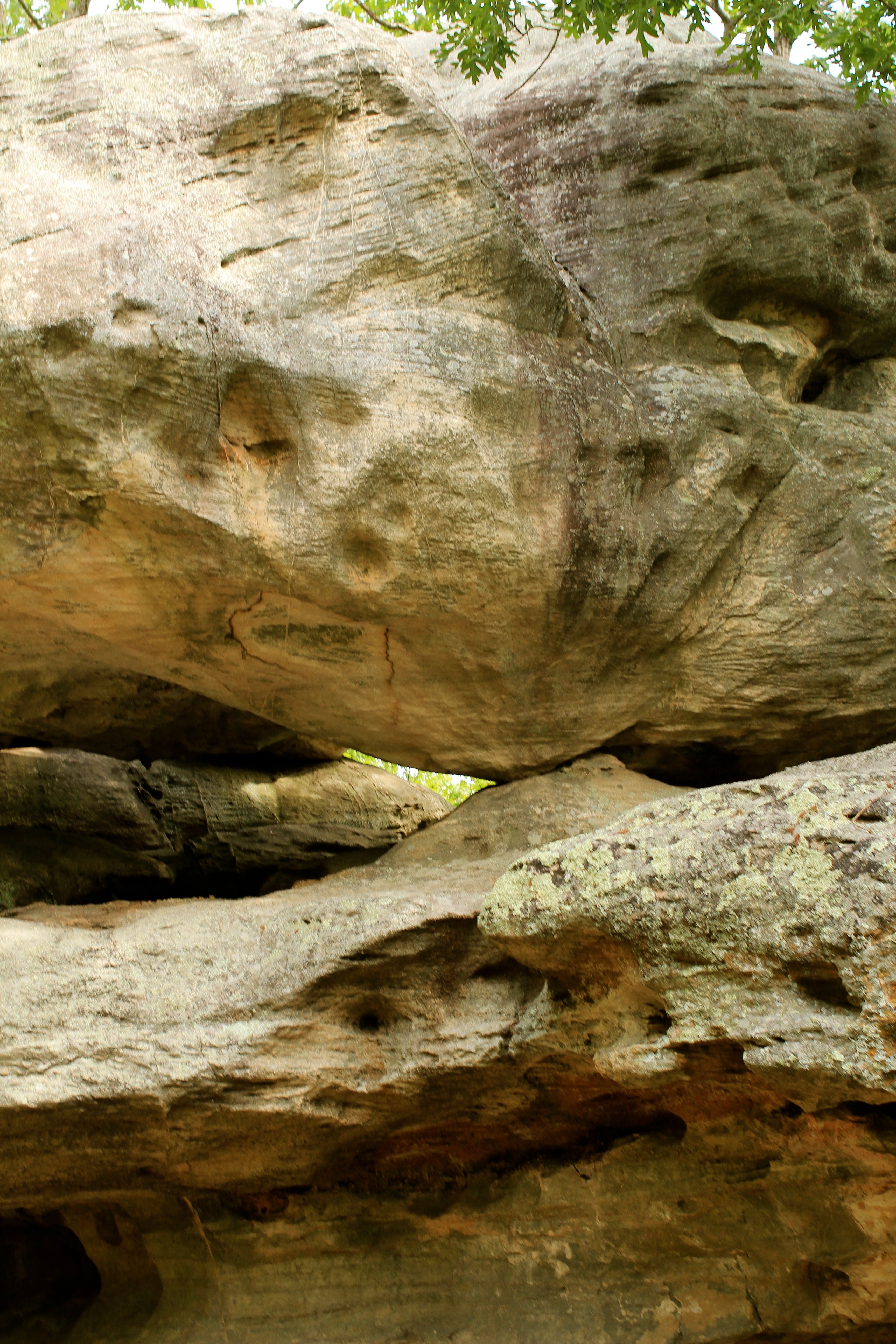
Close up of the Rock Shelf
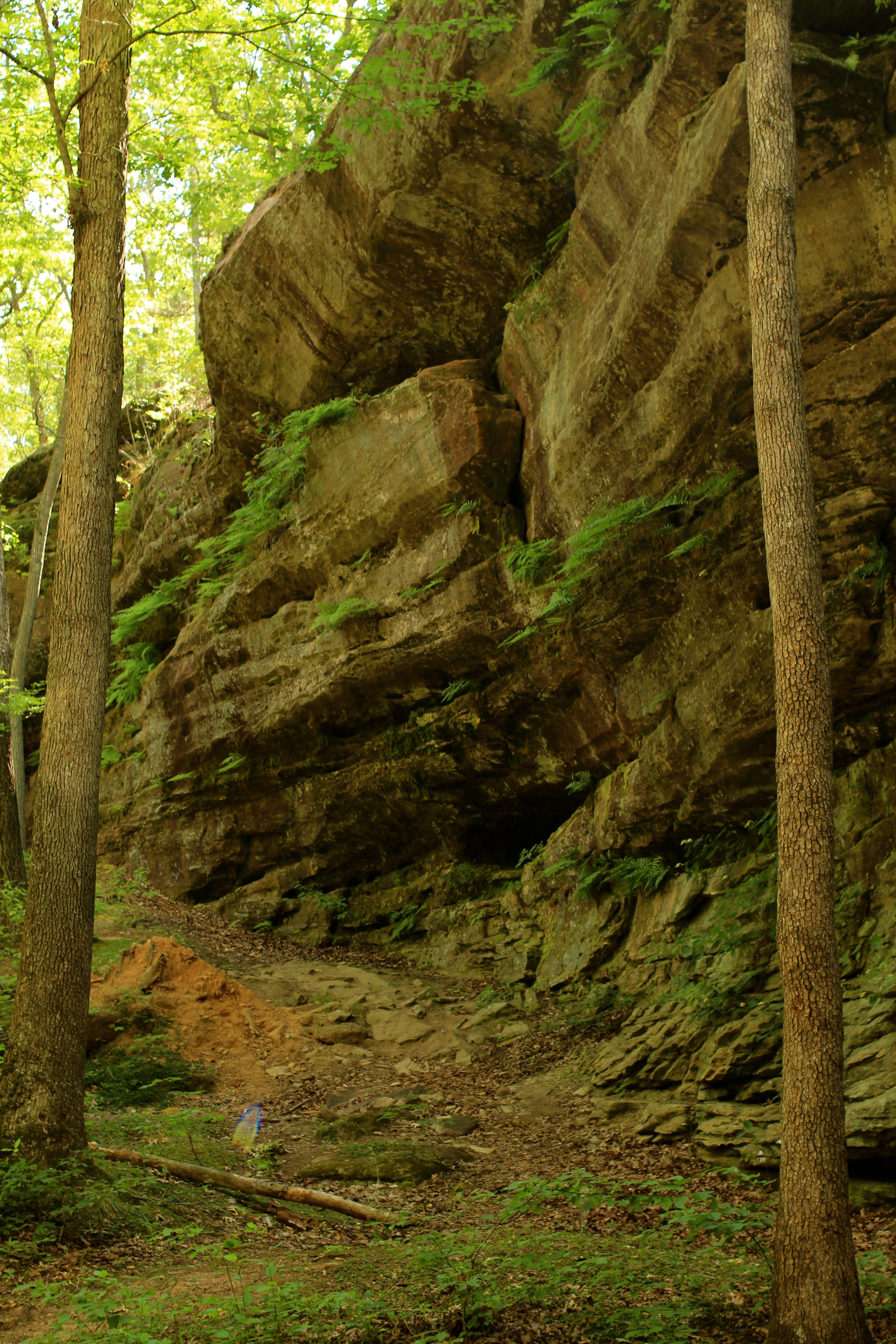
Hickory Canyon
Pickle Springs, MO
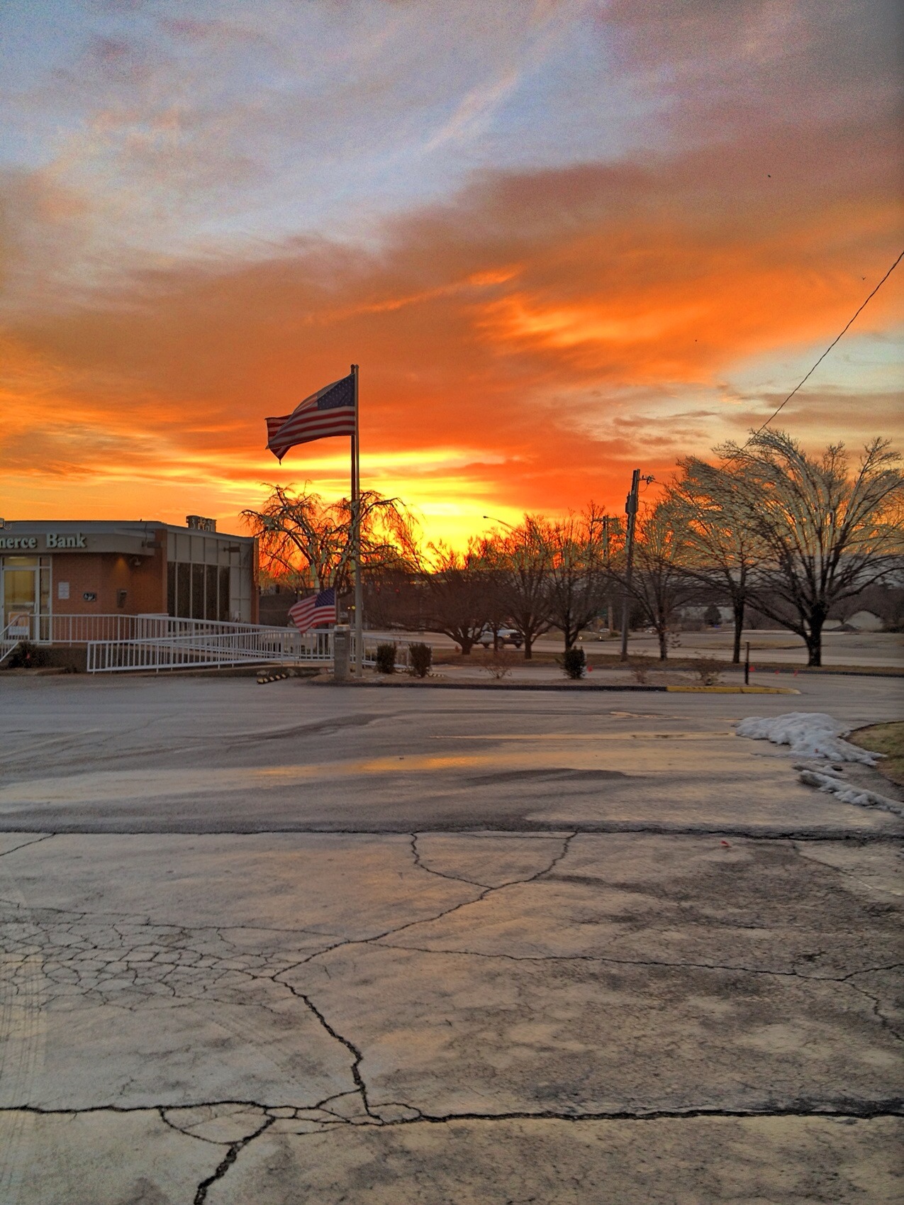
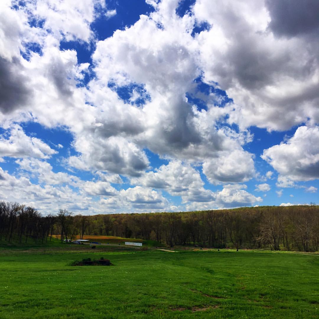
Farmington Sunrise
Pickle Springs Waterfall
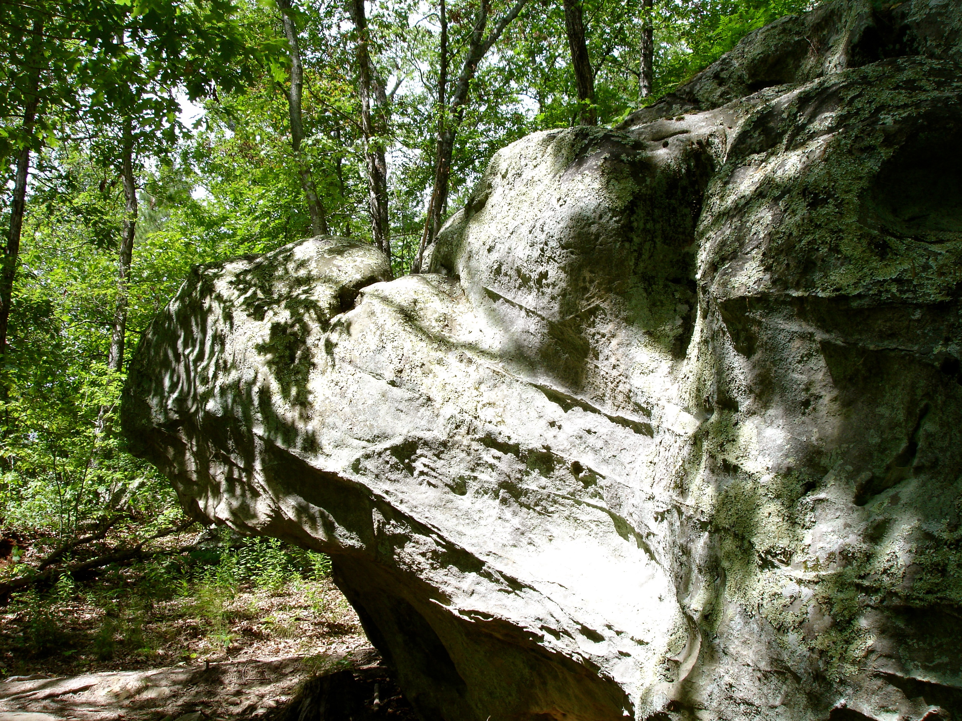
Terrapin Rock
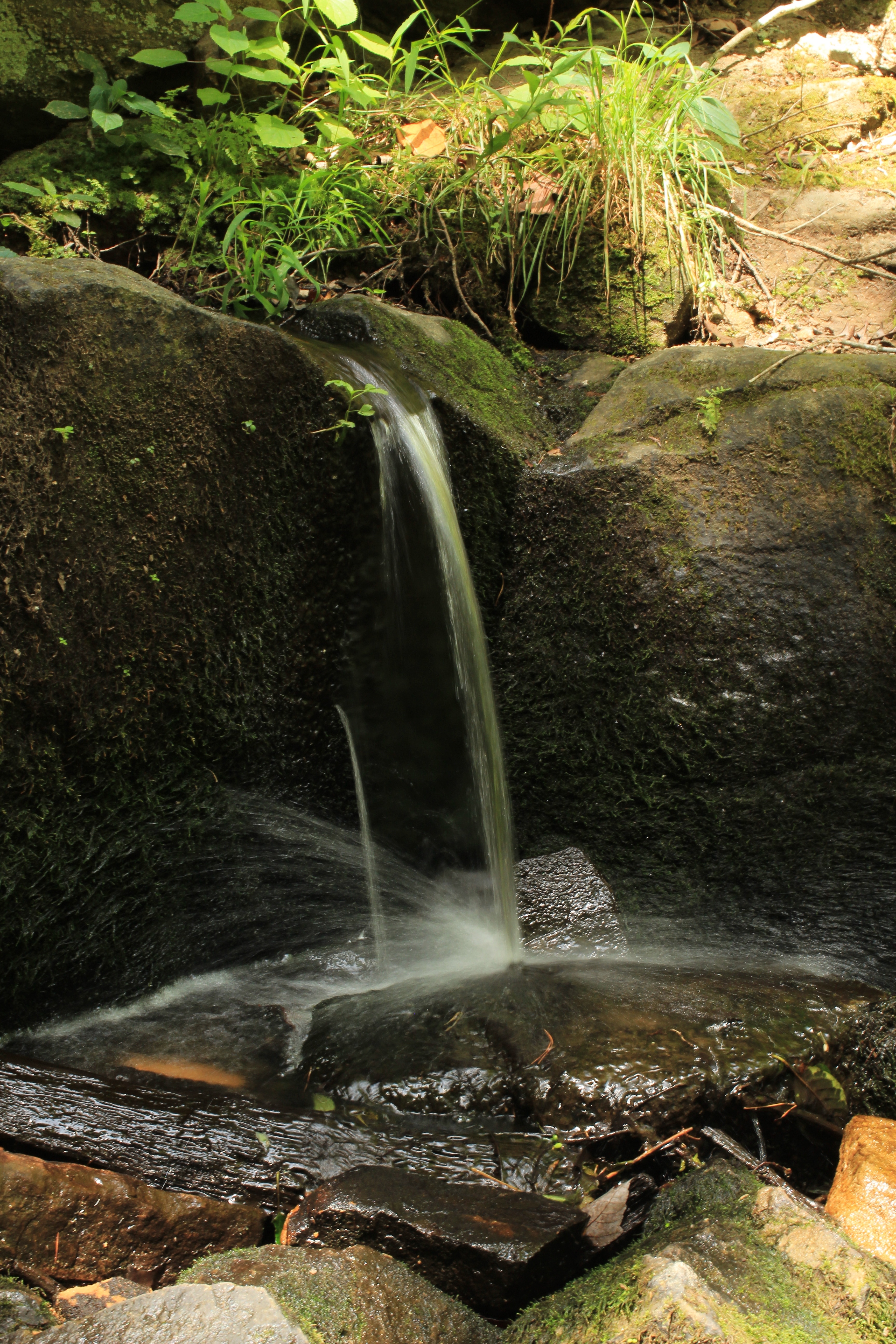
Waterfall on Pickle Creek
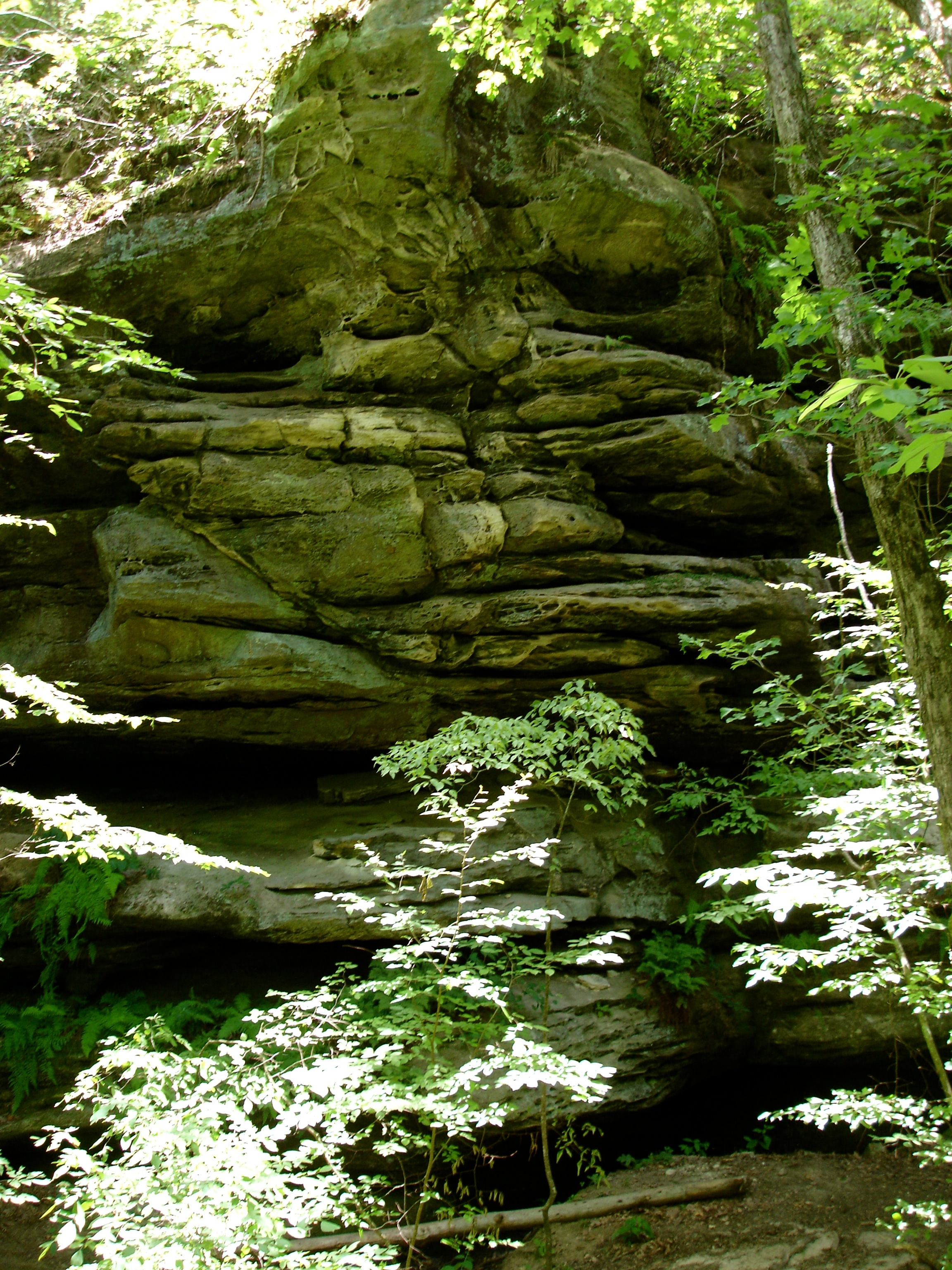
Rockpile Canyon
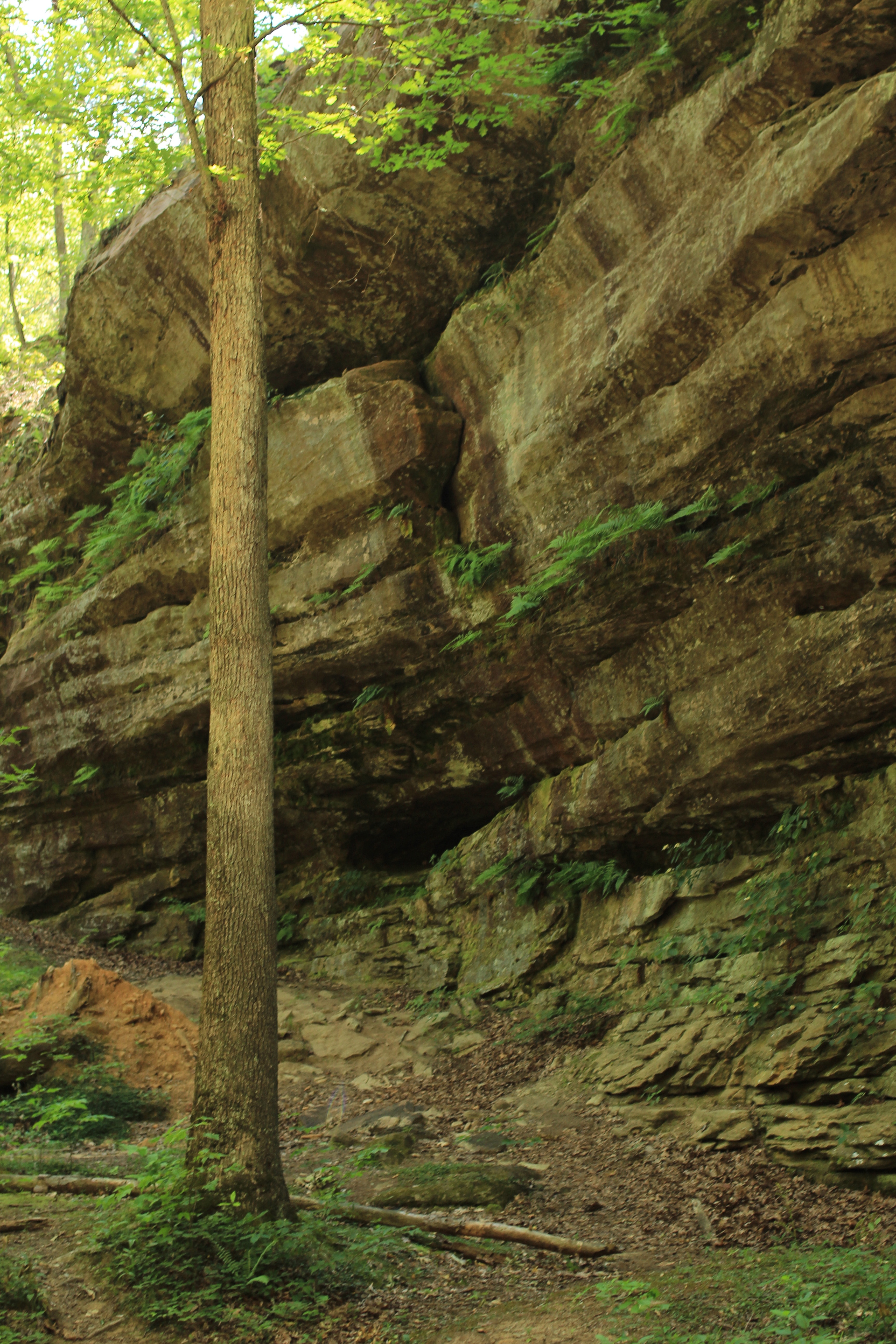
Hickory Canyon
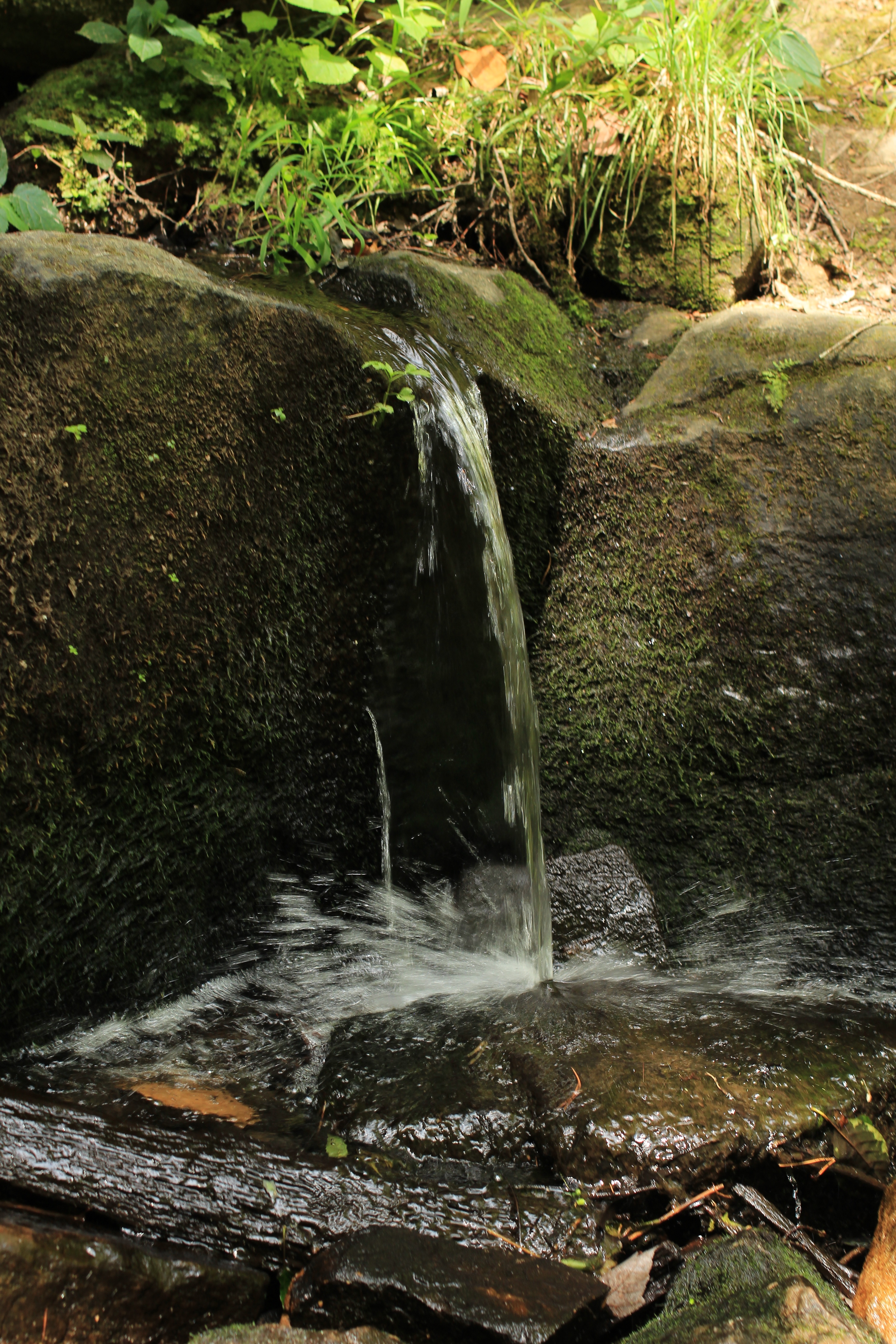
Waterfall on Pickle Creek
Pickle Springs Waterfall
Cauliflower Rock
Cauliflower Rock
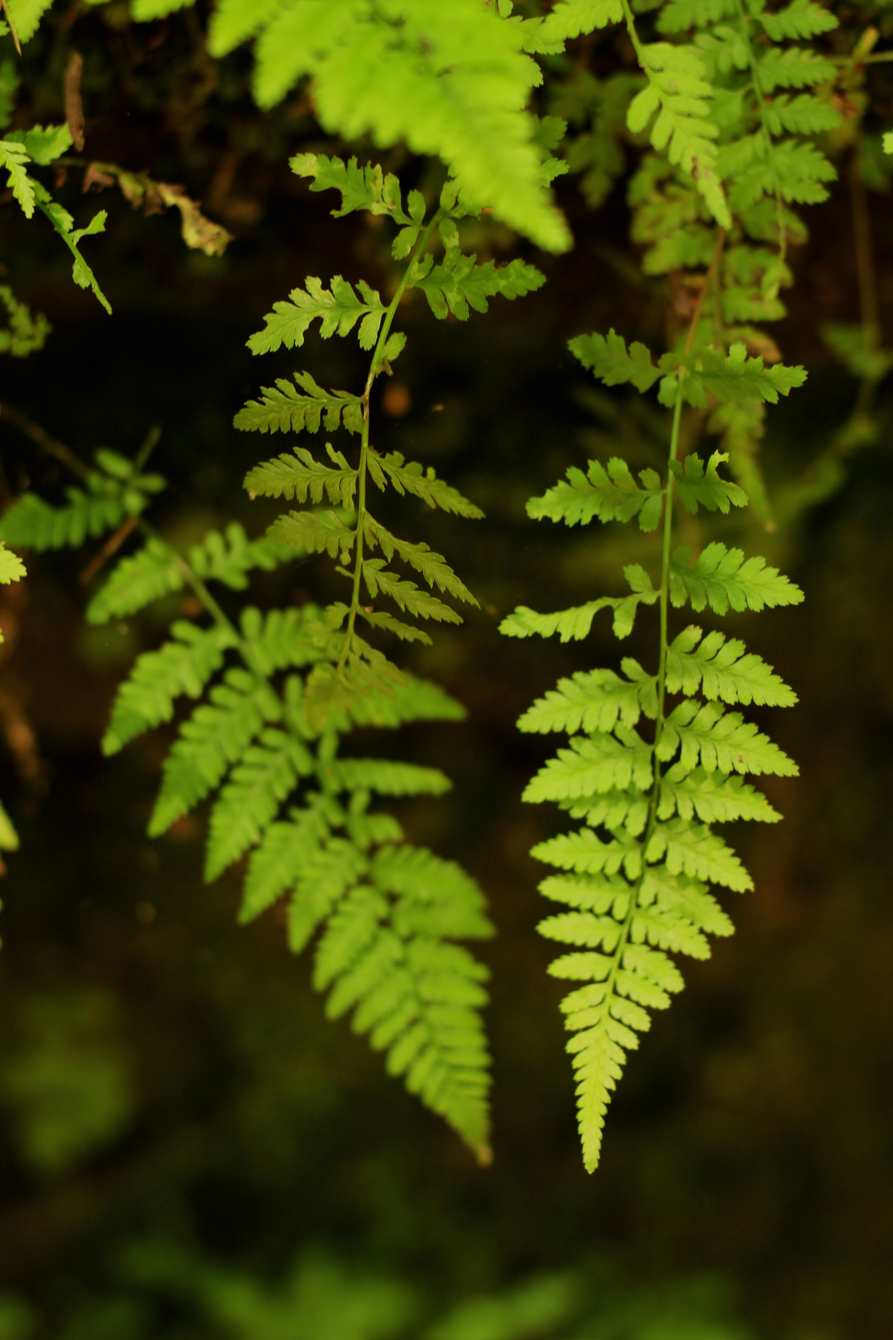
Fern on Hickory Canyon trail
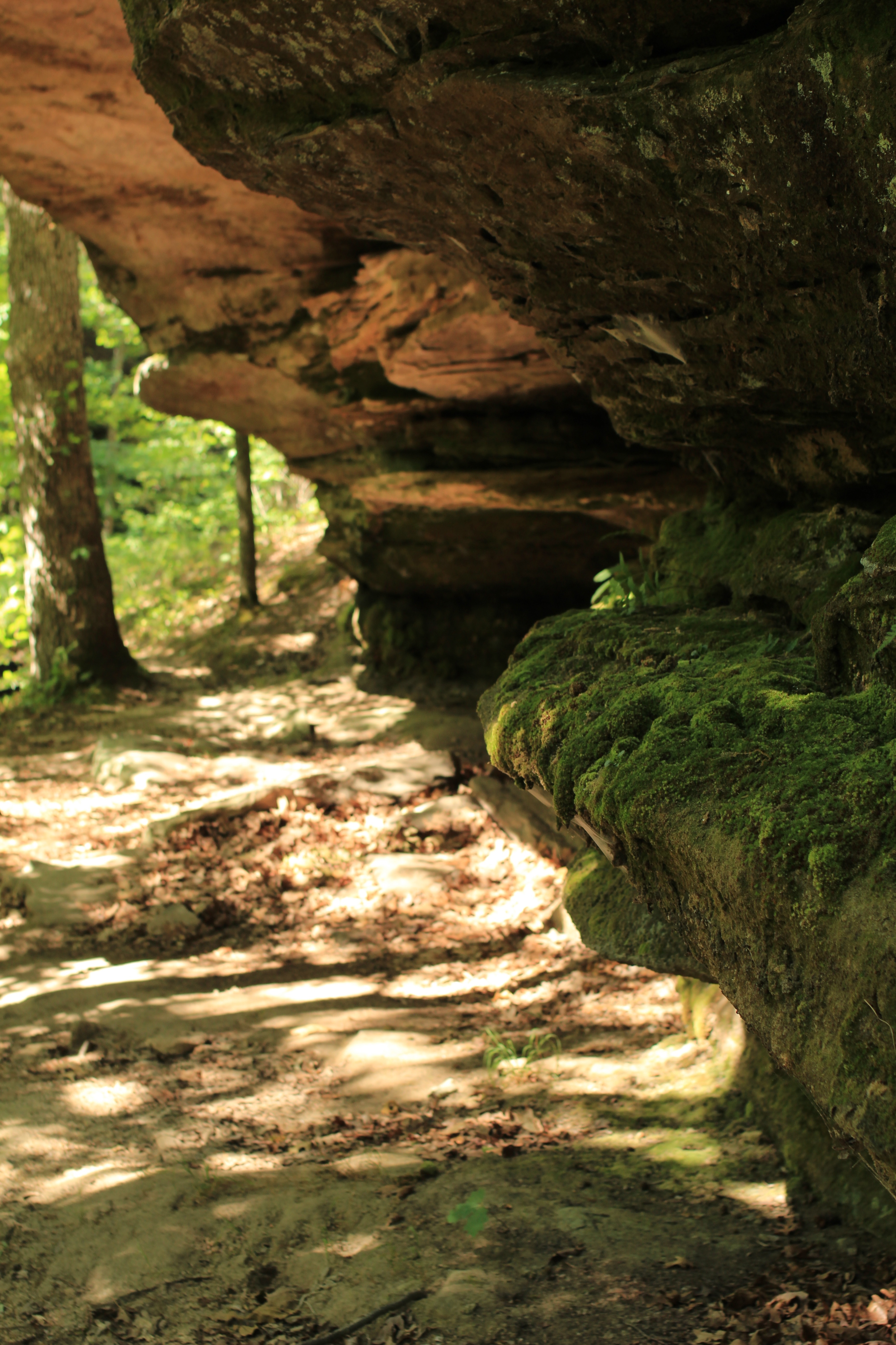
Moss under a Rock Shelf

Moss under the Rock Shelf
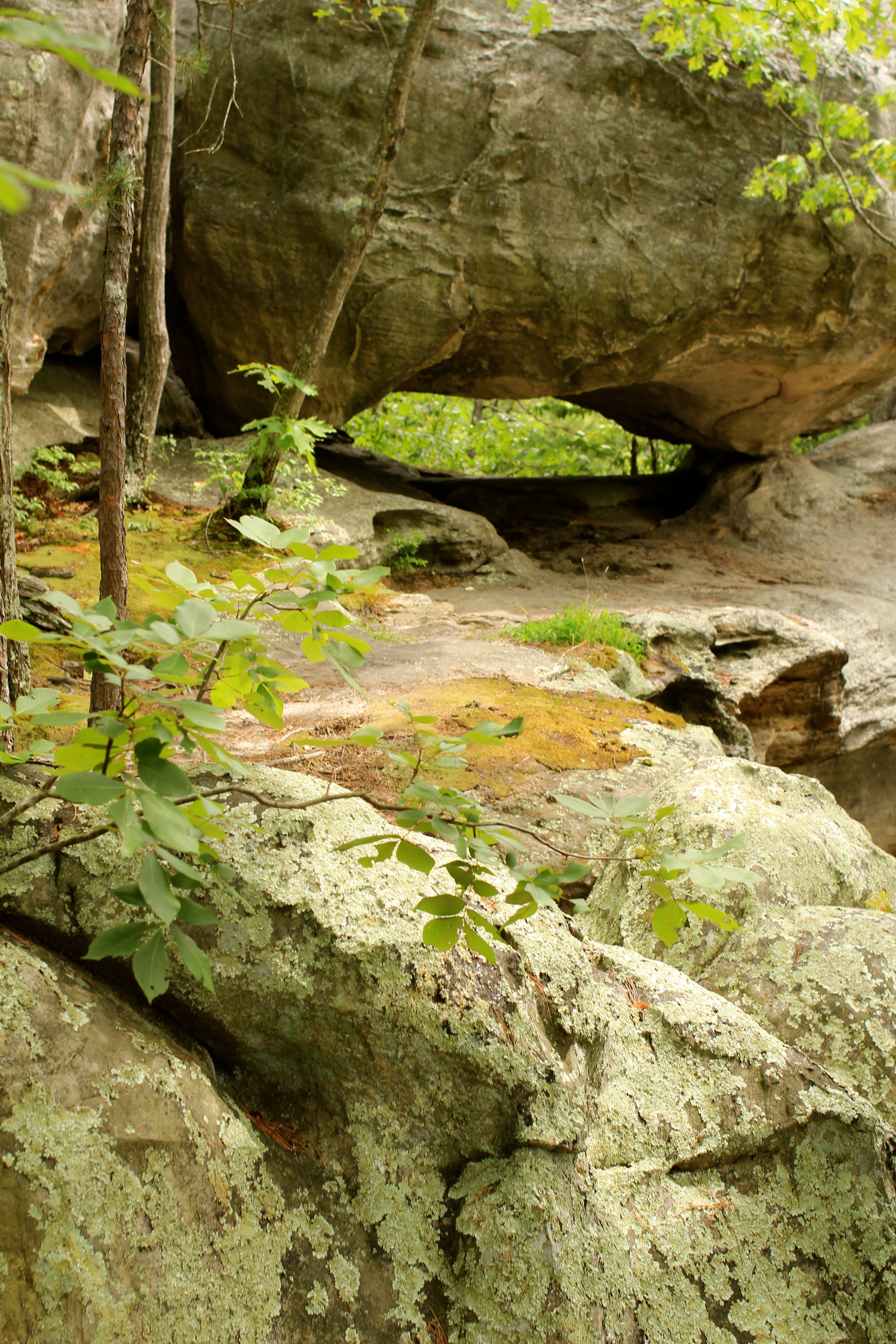
Rock Above The Double Arch
Topographic Map of Farmington, MO, USA
Find elevation by address:

Places in Farmington, MO, USA:
Places near Farmington, MO, USA:
St. Francois Township
Gendale Street
900 Lake Forrest Dr
8 Mulligan Drive
St. Francois County
Doe Run
2825 Flannery Rd
15 Woodlawn Dr, Leadington, MO, USA
Leadington
6889 Hwy F
704 3rd St
Park Hills
Watts St, Park Hills, MO, USA
Desloge
Mitchell Pass
Randolph Township
Robert St, Park Hills, MO, USA
Grove Street
Oak Street
416 Grove St
Recent Searches:
- Elevation of Corso Fratelli Cairoli, 35, Macerata MC, Italy
- Elevation of Tallevast Rd, Sarasota, FL, USA
- Elevation of 4th St E, Sonoma, CA, USA
- Elevation of Black Hollow Rd, Pennsdale, PA, USA
- Elevation of Oakland Ave, Williamsport, PA, USA
- Elevation of Pedrógão Grande, Portugal
- Elevation of Klee Dr, Martinsburg, WV, USA
- Elevation of Via Roma, Pieranica CR, Italy
- Elevation of Tavkvetili Mountain, Georgia
- Elevation of Hartfords Bluff Cir, Mt Pleasant, SC, USA